ルート

プランナー

機能

アップデート

App

ログインまたはサインアップ

アプリを入手

ログインまたはサインアップ

ルート
Places to see
フランス
オーヴェルニュローヌアルペス
シャンベリー

エギュベレット・ル・ラック

エギュベレット・ル・ラック周辺のアトラクション&必見スポット - トップ20


エギュベレット・ル・ラックには必見のスポットがたくさんあります。ハイキング愛好家やサイクリング愛好家の方は、ぜひエギュベレット・ル・ラックを探索してこのエリアにある20
の隠れたスポットを訪れてみてください。このエリアの必見スポットを確認し、次の冒険に出かける計画を立てましょう。

最終更新日: 8月 30, 2026

グラニエ峠

ハイライト • 山道

A classic. Once at the pass, either continue in the Chartreuse massif or go down in the vineyards of Apremont and around Lake Saint-André.

翻訳者 Google •

役立つ情報

によるものです

ここでのライドを見る

スマートフォンに送信

保存

エピーヌ峠

ハイライト • 山頂

Pass without too much traffic. Quite steep start to reach Saint Sulpice, the rest is rather regular.
The pass is closed in winter

翻訳者 Google •

役立つ情報

によるものです

保存

今すぐサインアップして、こんな場所を発見しよう

最高のシングルトラック、ピーク、その他のエキサイティングなアウトドアスポットのおすすめを受け取ろう。

無料新規登録

レイク・ダイグブレット

ハイライト • 湖

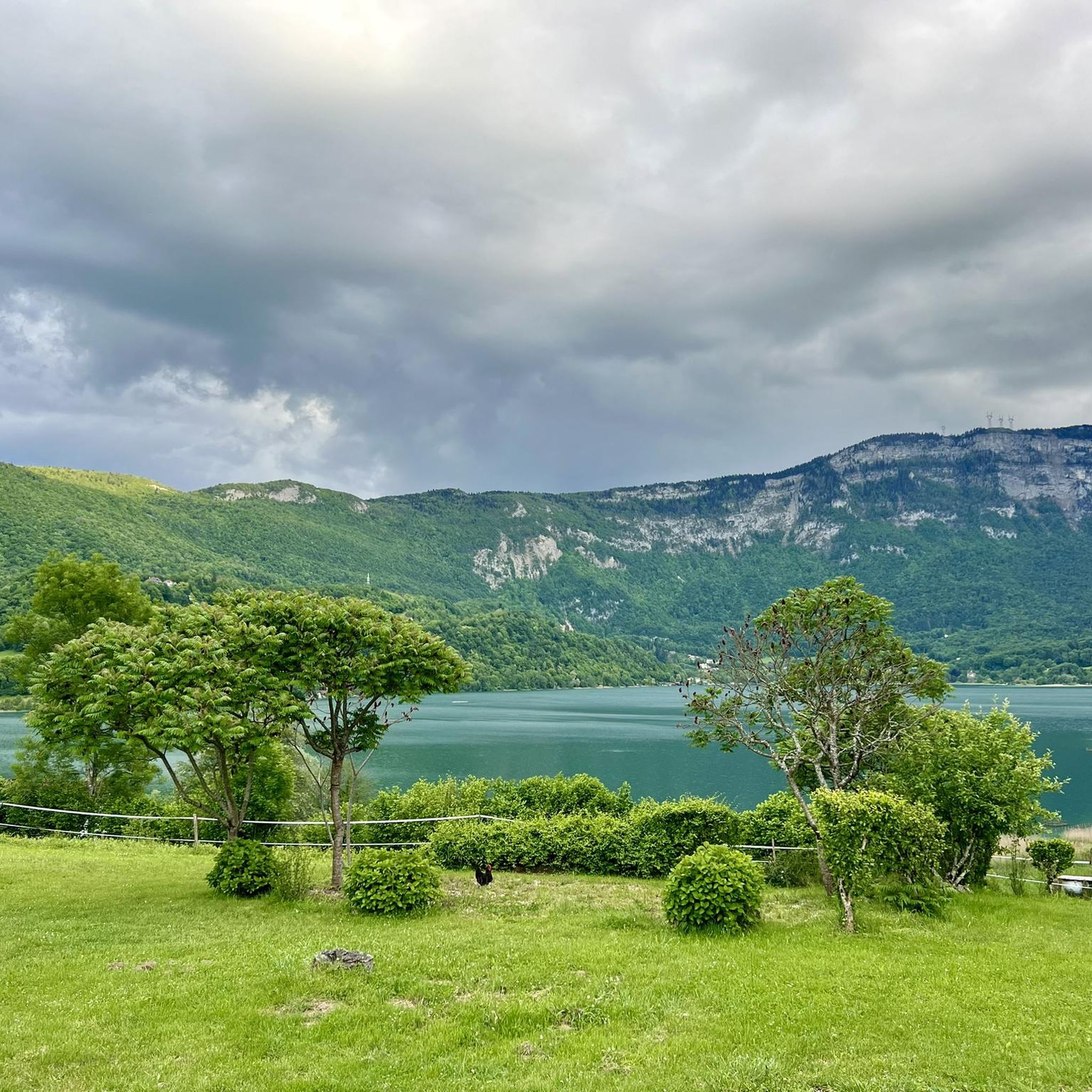
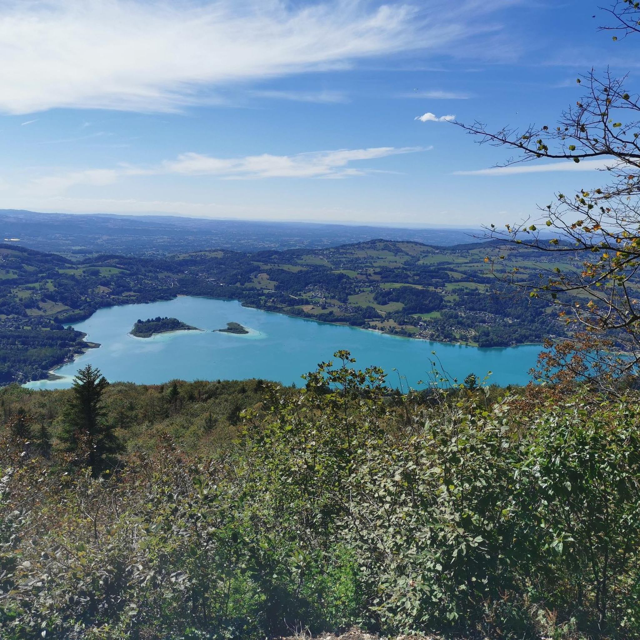
The Lac d'Aiguebelette is an essential place in the summer season. The road around the lake offers an easy ride that allows you to enjoy views of the mountains and …

翻訳者 Google •

役立つ情報

によるものです

保存

レイス川沿いの自転車道

ハイライト (セグメント) • 川

The Leysse is a torrential and wild stream which flows from the Bauges massif and which becomes a lowland river from Chambéry to Lake Bourget. The cycle path winds along the watercourse and offers a bucolic setting for a stroll.

翻訳者 Google •

役立つ情報

によるものです

保存

コシェットの十字架

ハイライト • 山頂

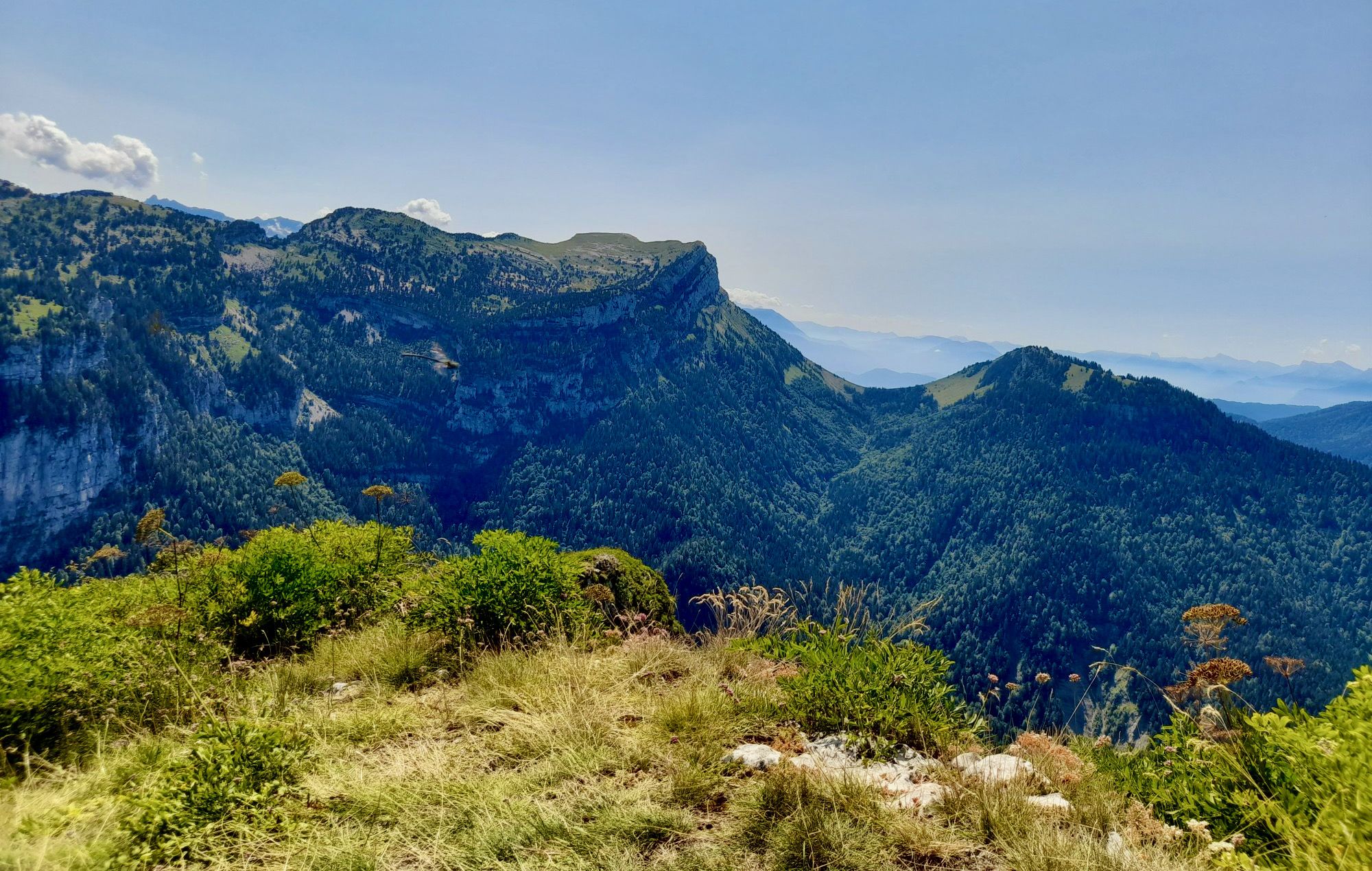
Pretty summit culminating at 1,621 meters above sea level in the north of the Chartreuse massif.

翻訳者 Google •

役立つ情報

によるものです

保存

無料でサインアップして、さらに多くの観光スポットを発見しましょう エギュベレット・ル・ラックでの。

無料新規登録

すでにアカウントをお持ちですか?

無料アカウントで今日から始めよう

次の冒険が待っています。

ログインまたは登録
エギュベレット・ル・ラック周辺で人気

シャンベリーからグレノブルまで - フランスのトランス・シャルトルーズ

エギュベレット・ル・ラックでのハイキング

エギュベレット・ル・ラックでのサイクリング

エギュベレット・ル・ラックのランニングコース

エギュベレット・ル・ラックのロードバイクルート

エギュベレット・ル・ラックのMTBトレイル

エギュベレット・ル・ラックでののグラベルライド

エギュベレット・ル・ラックでのの他の冒険

シャンベリーからグレノブルまで - フランスのトランス・シャルトルーズ

ハイキングのコレクション によって

Guillaume

コミュニティからのヒント

Ced
7月 24, 2026, Croix de la Cochette

モンブランとシャルトルーズの眺め

Google翻訳による翻訳

0

0

ブルジェ・ドゥ・ラックからシャンベリまでの美しいサイクリングロード。

Google翻訳による翻訳

1

0

シャンベリからのまともな登り、シャルトルーズの美しい景色。

Google翻訳による翻訳

0

0

Magnificent view of the heart of the Chartreuse region, the plain of St. Laurent du Pont, and Mont Blanc in the background, seemingly within arm's reach. The access path via the ridge that connects to Outheran is very straightforward. The climb from St. Jean de Couz on the SW side is quite complicated. The path is barely visible and rather difficult to follow on a very steep face. The final section leads up a very steep couloir, through a slippery and unstable scree slope. Furthermore, the exposure to falling rocks is quite significant; extreme caution is required (helmet recommended). The final section consists of short climbing sections and very steep ascents in fairly exposed grassy terrain (fairly straightforward, but exposed).

Google翻訳による翻訳

0

0

Very nice wooded climb

Google翻訳による翻訳

0

0

A very quiet and pleasant road. On the Chambéry side, a good part is in the shade, the slope of the main road is rather constant around 7-8%. On the Novalaise side, the mineral aspect with the cliff is more present in the middle of the climb. This side is quite steep with kilometers at 8-9%. On each side, 1 belvedere offers a breathtaking view of Lake Aiguebelette (approx. 2 km from the summit) and on the other side of Chambéry, the Bauges, Belledonne, the Chartreuse (500 m from the summit). The summit is in the forest.

Google翻訳による翻訳

1

0

Ulrich
8月 7, 2025, Col du Granier

Warning: The climb from the east side is extremely steep! An average gradient of around 10% over 9-10 km.

Google翻訳による翻訳

2

0

SimD
5月 2, 2025, Col de l'Épine

Leaving from Chambery, the beginning hurts a little, but the rest is quite good

Google翻訳による翻訳

0

1

エギュベレット・ル・ラックでのの人気ルート

エギュベレット・ル・ラックでのハイキング

エギュベレット・ル・ラックでのの人気観光スポット

Natural Monuments

Store rating

komootモバイルアプリでインスピレーションを得よう

無料のkomootアカウントがあれば、無限のアウトドアコースを簡単に見つけてカスタマイズし、ナビで案内できます。

または

今すぐkomootに参加しよう

Store rating

さらに探索

まだ探しているハイライトが見つかりませんか?他の地域のトップアトラクションのガイドを見てみましょう:

ブルドーベルコンブアンボージュMassif Des Baugesエクスレバンピュニー・シャトノッドトレヴィナンTresserveサン・ピエール=ダントルモンコーベルサン・オファンジェアントルラクスムオーイーサン=タルバン=レイゼブリゾンサンイノセントサンジャンドシェヴェルラ・ビオルメリーセントクリストフサンジャンドクーズアントルモン・ル・ヴィユーレ・デゼールビビエデュラックイエンビリエームグレシー=シュル=エクスルブルジェデュラックサンジャンダルヴェイラモットセルボレックスサンピエールドジュヌブロズRéservenaturelledesHautsde ChartreuseジョンジューLa Chapelle-Du-Mont-Du-ChatサンピエールドクルティーユサンポールサンティボドクーズモンセルDrumettaz-ClarafondヴォグランサンフランソワデセールスアプルモンレマルシェソナズフランサンレソールーシーレゼシェルMeyrieux-Trouetサントゥルスコナンサンベロンノヴァレーズサンカッサンオンテックスラ・ボッシュバッサンスサンバルドフマイアンズコンジュオーサンシュルピスモンタニヨルサンジョワールプリューレシナンチンドリューLaChapelle-Saint-Martinヴェレル・プラゴンドランサンフランアリスキュリエンヌアヴレシューヴェルテメクスデュランヴェレル=ド=モンベルマルシューサンピエールダルヴェイトレーズラ・ラヴォワールシャル=レ=ゾーレモレットアイヨン=ル=ヴューレシェルエーヌトワリーサントマリーダルベイバルブラーズジャコブベルコンベットベルモントラモネピュイグロロシュフォールアティニャ=オンサンサンモーリスドロザレンロワジューヴィミーヌサンテレーヌデュラックラ・シャヴァンヌアイヨン=ル=ジューンラトゥイールアインCoise-Saint-Jean-Pied-Gauthierアービンモンメリアンプラネーズラバルムラ・ブリドワールDoucy-En-Baugesグルザンバービーラ・モット・アン・ボージュクルートドムサンヴィオンサンピエールダルビニールノイヤージェルベサンジャンドラポルトサンピエールドスーシーリュフィユーSerrières-En-ChautagneLeChâtelardシャナナンスヴィラルーベトンベトネットレパン=ル=ラックラ・ロシェットオートヴィルヴィラール・デリーシャムセジャルシーラ・シャペル・ブランシュフレトゥリーヴヴィラール・レジェールラトリニテデトリエChâteauneufヴィラール・サレシャムー=シュル=ジェロンサン=タルバン=ド=モンベルラ・クロワ・ド・ラ・ロシェットサントレーヌブールニャフラテーブルサンジュニシュルギエシャンローランアルヴィヤールプレスルシャンパニューエコールÉtableル・ヴェルネイユモンタンドリーラコンポットロトランルポンテブルジェ=アン=ユルルポン=ド=ボーヴォワザンモッツブールジェ湖Réserve Naturelle Régionale Du Lac D'Aiguebelette

近くのアドベンチャーガイド

エギュベレット湖でやるべきこと

background

新しいピークを征服する準備をしよう

無料でサインアップ

探検する
ルートルートプランナー機能バウチャーを利用ハイキングMTBトレイルロードバイクルートバイクパッキングサイトマップ
アプリをダウンロード
SNSでフォローする

© komoot GmbH

プライバシーポリシー