ルート

プランナー

機能

アップデート

App

ログインまたはサインアップ

アプリを入手

ログインまたはサインアップ

ルート
サイクリングルート
フランス
イルドフランス
エヴリー

モワニシュルエコール

モワニシュルエコールのおすすめツーリングルート

4.5

(209)

1,521

ライダー

209

ライド

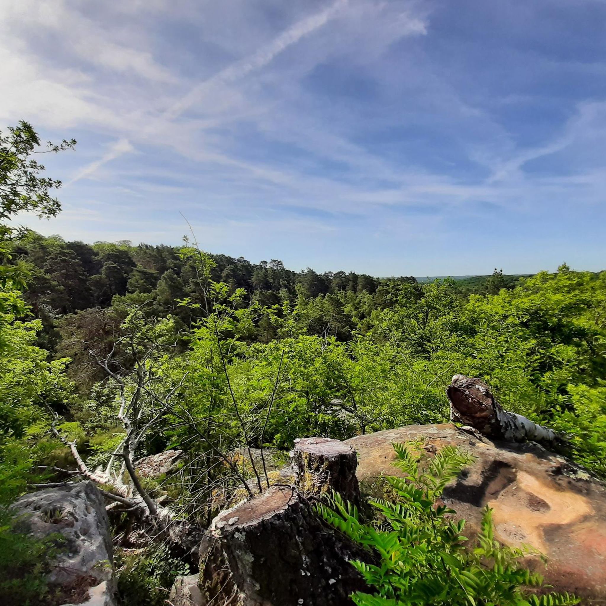
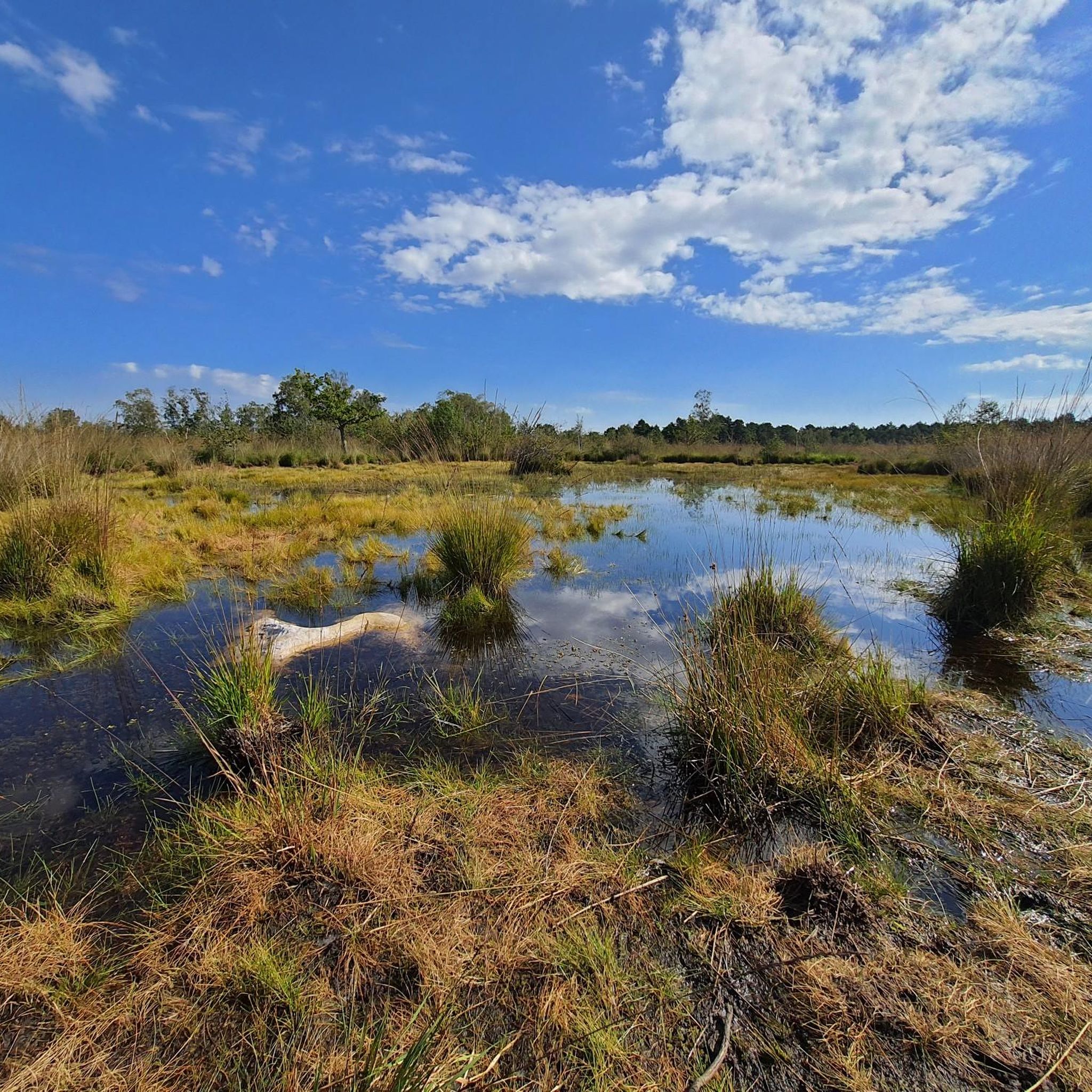
サイクリングツアーでモワニー=シュル=エコール周辺を巡ると、エコール渓谷やガティネ・フランセ地域自然公園内の多様な自然景観を楽しめます。この地域は、エコール川によって形成された沖積平野、砂岩の台地、広大な森林が特徴です。歴史的な砂岩の採石場は地質学的な興味を加え、サイクリングに変化に富んだ地形を提供します。この地域は、保存状態の良い自然の質と豊かな生物多様性によって特徴づけられており、自転車での探検に理想的です。

モワニー=シュル=エコール周辺の最高のサイクリングツアーコース

  • 最も人気のあるサイクリングツアーコースは、モワニー=シュル=エコール発、ガーネットミル~コキビュ池ループです。これは22.6マイル(36.4 km)の適度な難易度のトレイルで、所要時間は3時間13分です。このコースは、池や歴史的な水車を含むエコール渓谷の自然景観を巡ります。
  • 地元のサイクリストに人気のもう一つのコースは、モワニー=シュル=エコール発、フルーリー=アン=ビエール城~ドメーヌ・ド・クランスループです。これは17.5マイル(28.1 km)のイージーなパスです。このコースは、シャトー・ド・クランスなどの重要な史跡を通過します。
  • 地元のサイクリストに愛されているもう一つのコースは、モワニー=シュル=エコール発、シャトー・ド・クランス~ダンヌモワ学校ループです。これは20.1マイル(32.3 km)のトレイルで、田園風景を抜け、シャトー・ド・クランスを通過し、所要時間は約1時間52分です。
  • モワニー=シュル=エコール周辺のサイクリングツアーは、エコール渓谷、砂岩の台地、広大な森林によって特徴づけられます。このネットワークは、さまざまなスキルレベルに適した、イージー、ミディアム、チャレンジングなコースを提供します。
  • モワニー=シュル=エコールでのコースは、komootコミュニティから高く評価されており、200件以上のレビューで平均4.5つ星を獲得しています。1500人以上のサイクリストがkomootを利用して、モワニー=シュル=エコール地方の多様な地形を探検しています。

最終更新日: 7月 4, 2026

4.5

(2)

46

ライダー

#1.

Moigny-sur-Écoleから出発する Tour du Buisson – バランクール採石場の眺め ループコース

38.1km

03:06

370m

370m

難しい自転車ライド. ある程度のフィットネスレベルが必要です。 ツアーの一部で自転車を押して歩く必要があるかもしれません。

デバイスでナビ

スマートフォンに送信

保存

難しい

難しい自転車ライド. ある程度のフィットネスレベルが必要です。 ツアーの一部で自転車を押して歩く必要があるかもしれません。

難しい
guide_signup
私たちがkomootモバイルアプリで道を示します
無料の komoot アカウントがあれば、無限のアウトドアコースを簡単に見つけてカスタマイズし、ナビで案内できます。

無料新規登録

初級者向けバイクライド. あらゆるフィットネスレベルに適しています。 全般的に舗装された状態です。あらゆるスキルレベルに適しています。

初級

中程度の自転車ライド. ある程度のフィットネスレベルが必要です。 全般的に舗装された状態です。あらゆるスキルレベルに適しています。

中程度

初級者向けバイクライド. あらゆるフィットネスレベルに適しています。 全般的に舗装された状態です。あらゆるスキルレベルに適しています。

初級
無料新規登録すると、モワニシュルエコールでのでのライドをさらに205件ご覧いただけます。

さらに多くのルートや他のユーザーのおすすめ情報を確認できます。

無料新規登録

すでにアカウントをお持ちですか?

おすすめのツアーは他のkomootユーザーが実際に経験した何千ものアクティビティに基づいています。

無料アカウントで今日から始めよう

次の冒険が待っています。
ログインまたは登録

モワニシュルエコール周辺で人気

ガーテネとボース間-セーヌからロアルまで(GR 32)

モワニシュルエコールでのハイキング

モワニシュルエコールのMTBトレイル

モワニシュルエコールのランニングコース

モワニシュルエコールのロードバイクルート

モワニシュルエコールでののグラベルライド

モワニシュルエコールでのの他の冒険

ガーテネとボース間-セーヌからロアルまで(GR 32)

ハイキングのコレクション によって

SimonWicart

コミュニティからのヒント

bellevillerider
8月 26, 2025, Le Cyclop de Jean Tinguely

A temple of Dada art!

Google翻訳による翻訳

0

0

photo break for the cycling group.

Google翻訳による翻訳

0

0

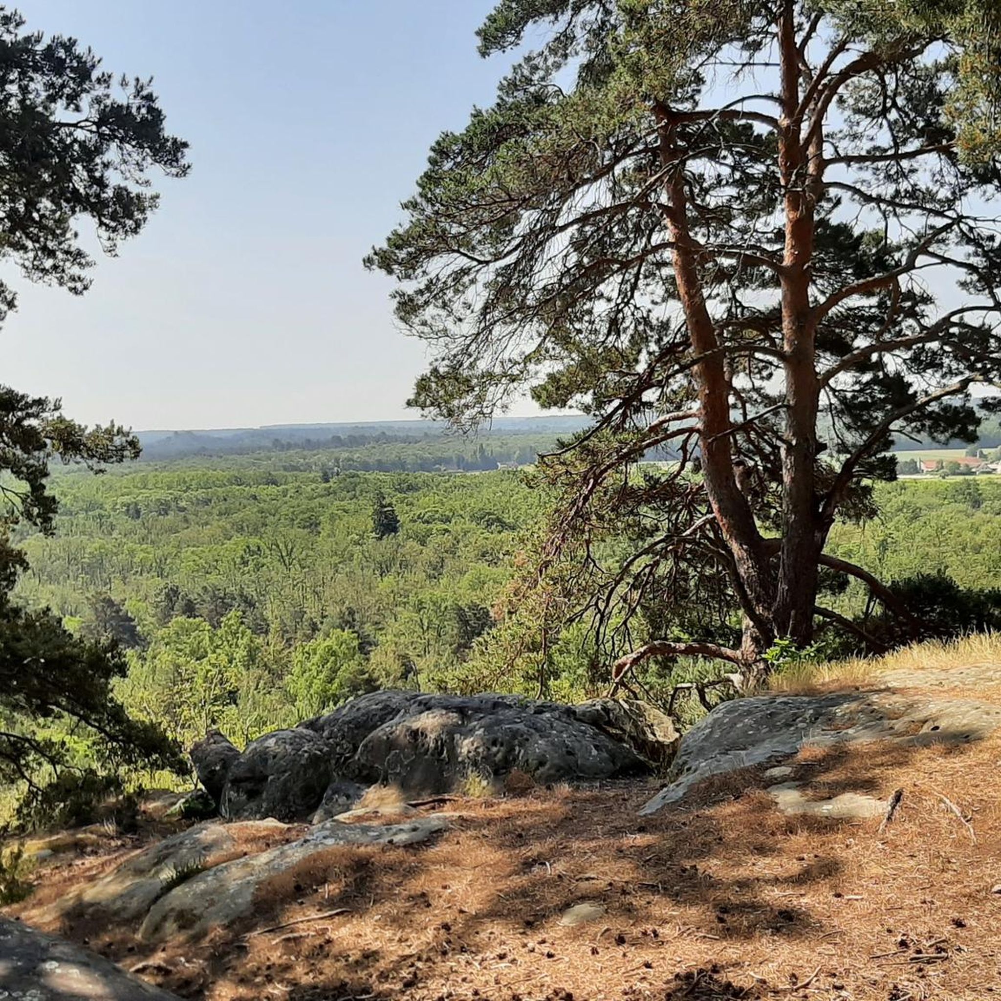
Magnificent view from the Ballancourt quarry then path towards the Coudraye forest

Google翻訳による翻訳

0

0

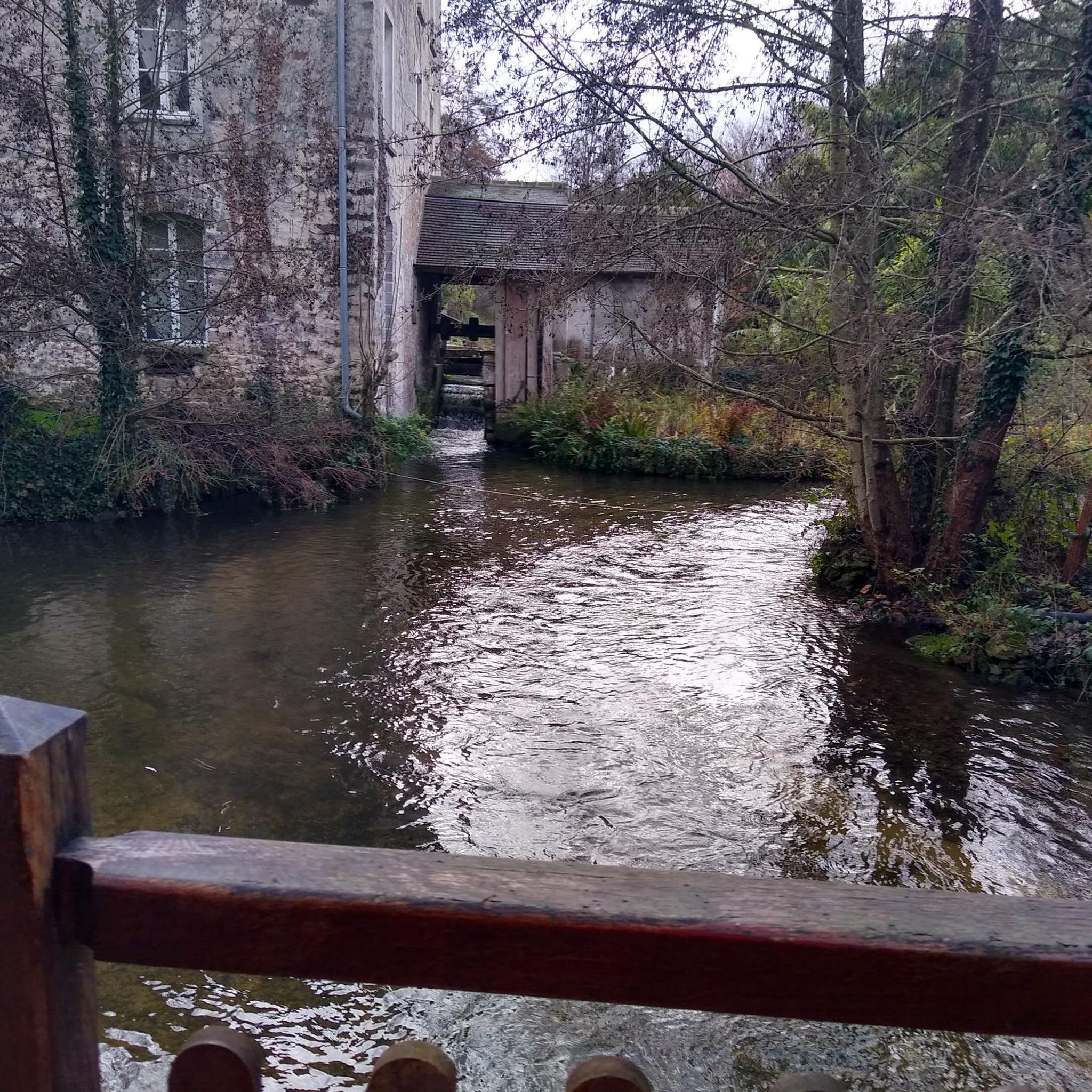
The mill is said to be over two thousand years old. Joan of Arc stayed there and Louis XI is said to have donated it to his advisor Olivier le Daim.

Google翻訳による翻訳

0

0

Lajeuncomme
5月 1, 2024, Panorama

superb hiking route without many people easy level different reliefs magnificent views

Google翻訳による翻訳

0

0

This was one of the locations used for the filming of the 3 Mousquetaires with Vincent Cassel, François Civil, Romain Dursis & Pio Marmai

0

0

The trail moves on to the main essentials The hall In 1479, by a special grace from Louis The North-South facing Hall, 46 m long, 16 m wide and 13 m high, covers a total surface area of 730 m2. 48 oak pillars, resting on “dice”-cut stone bases, support a chestnut frame typical of Ile-de-France at that time; this frame presents to the north (on the rue Langlois side) a “pavilion” farm. Today, La Halle is still the site of a market on Thursday afternoons. The square, the houses gathered all around, bear witness to the great commercial activity which already reigned in the region 500 years ago. La Halle has been classified as a Historic Monument since 1923. Bonde Castle is located near the town center of Milly-la-Forêt, Built near an artificial island in the l'École river to the west of the Notre-Dame collegiate church, its park is bordered to the west by the course of the river which forms a moat to the north protecting the châtelet. History Built in the 12th century by the lords of Milly, the castle was ruined during the English siege in 1432. At the end of the 15th century around 1475, owned by Admiral Louis Malet de Graville, it was rebuilt and enlarged. What was then the keep became the entrance gatehouse, the drawbridge was replaced by a permanent stone bridge and a gate closed access between the northern defense tower and the governor's house. A square courtyard was surrounded by a wall and had in the center a chapel dedicated to Saint Valentine. The castle was successively the property of Hugues III de Bouville, Olivier V de Clisson, Jean II de Montmorency, Jean-François de Faudoas d'Averton, Marc-Antoine Front de Beaupoil de Saint-Aulaire and Pierre Marie of Lau d’Allemans. In the 19th century, the towers of the chatelet were enhanced with brick battlements and a slender roof. In 1859 the Corne bridge was rebuilt near the castle washhouse which served as a watering trough for the animals. At the end of the 20th century the mills along the river were demolished. In 1964, the Bonde washhouse downstream of the river which was part of the estate was rehabilitated. On December 20, 1972, the castle was partly listed as a historic monument. The park was listed in 1991 for its fences, canals and paths. the house of Jean Cocteau.  Entrance to the J. Cocteau house [This 17th century residence, flanked by turrets, was formerly called the Governor's House. It corresponds to an old outbuilding of the castle in front of which the vassals came to pay homage and faith to their lord. Jean Cocteau bought this house with Jean Marais in 1947 and lived there until his death. Notre-Dame de l’Assomption Church Founded in the 11th century, the former chapel of the castle, it was rebuilt around 1485 on the orders of Admiral de Graville in the Gothic style of the 13th and 14th centuries. The bell tower, 57 meters high, dates from the 11th century in its lower part and from the 12th and 13th centuries in its upper part. The arch of the main portal in the primitive Romanesque style comes from an old church in Milly (Saint-Pierre or Saint-Jacques). On the east side of the bell tower - Place Grammont side - the arms of Admiral de Graville are still visible. Many works of sacred art are found inside the church. The church was listed as a Historic Monument in 1926. The dovecote; Located on the old triangular square of the dovecote cul de sac, this old building was part of the Domaine du Moustier, property of Fulbert I, lord of Milly and officer at the court of Dagobert I in the 7th century. Destroyed in 1432 or 1433, the complex included a vast farm. According to a count in 1792 it had around 1200 niches. Only the lords held the right to build these premises designed for breeding. The Moustier de Péronne gate is one of the oldest vestiges of Milly and dates from the 7th century. It provided access to the moustier (monastery in old French) owned by Fulbert I, who obtained the land of Milly from Dagobert I. His son Wulfran was born there around the year 635. Entering religion, he became the apostle of the frieze (Netherlands), then bishop of Sens before retiring to Saint Wandrille where he died in 720.

Google翻訳による翻訳

1

0

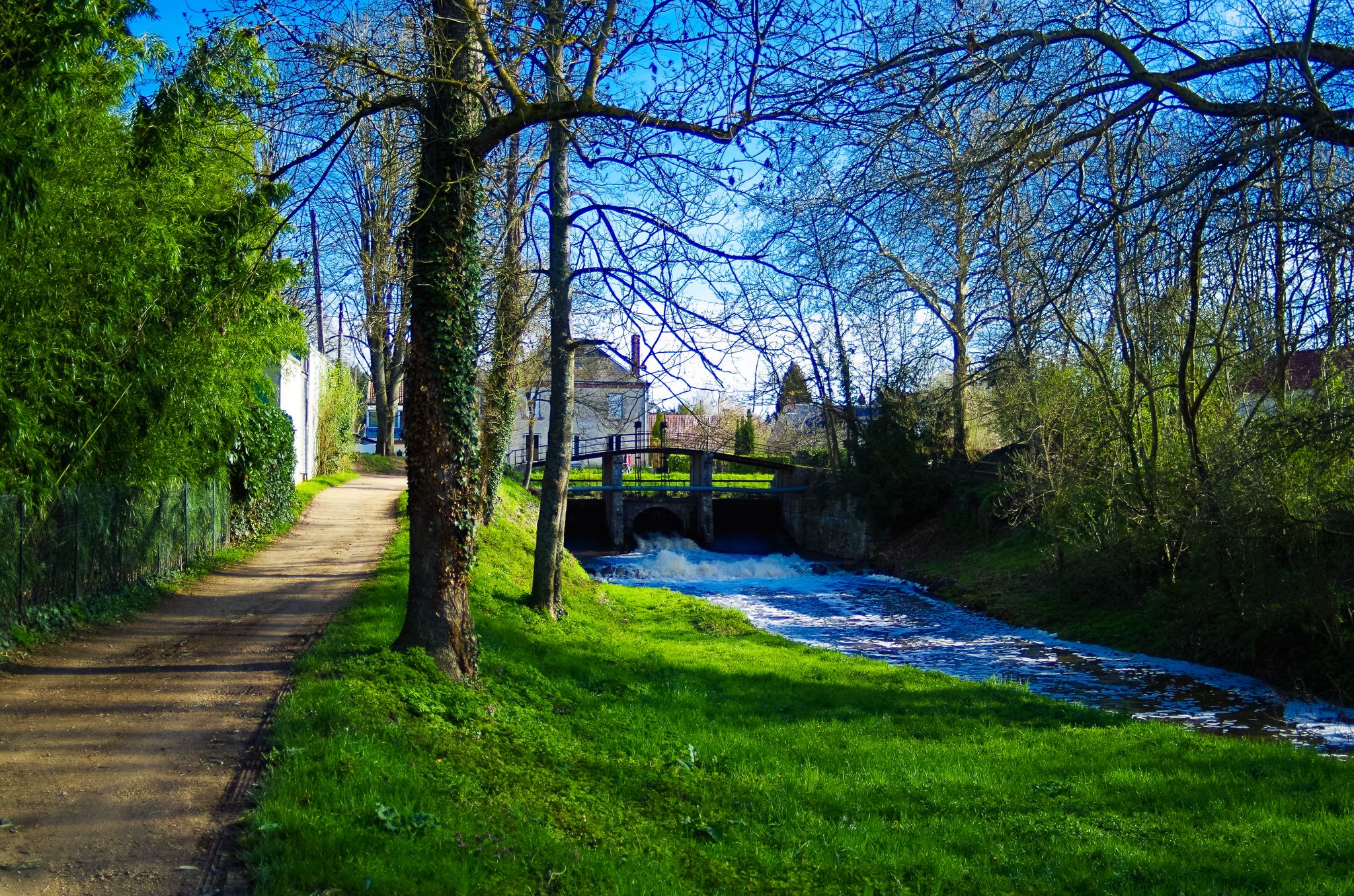
Pretty watercress crops fed by the waters of the Ecole River. In season it is possible to buy bunches of watercress at 1€ in self-service.

Google翻訳による翻訳

0

0

よくある質問

Moigny-sur-École周辺のツーリングサイクリングルートでは、どのような地形が予想されますか?

この地域は、ツーリングサイクリストにとって多様な景観を提供しています。エコール川の谷とフランス・ガティネ地域自然公園内には、沖積平野、砂岩台地、広大な森林が混在しています。ルートは田舎道や緩やかな起伏が多く、エコール川沿いの道もあります。この地域は、保存状態の良い自然と豊かな生物多様性で知られています。

初心者や家族連れに適した、簡単なツーリングサイクリングルートはありますか?

はい、Moigny-sur-Écoleには簡単なルートが豊富に用意されています。200以上のツーリングサイクリングルートのうち、96が簡単なルートに分類されています。例として、歴史的な場所を巡る、Moigny-sur-École発着の距離28.1kmの簡単なルートであるフルーリー・アン・ビエール城 – ドメーヌ・ド・クランスのループがあります。

サイクリングルート沿いには、どのような史跡や見どころがありますか?

多くのルートには、歴史的および自然的なアトラクションが含まれています。印象的なドメーヌ・ド・クランス、ムーラン・グレナのような古い水車小屋、エコール川沿いの洗濯場などを探索できます。ジャン・タンギーによる記念碑的な彫刻ル・シクロップも一部のルートに含まれています。さらに、古い砂岩の採石場や、ポリソワール・ド・ラ・ロッホ・グレノレのような新石器時代の遺跡に出会うこともあります。

Moigny-sur-Écoleのルートについて、他のツーリングサイクリストはどのように評価していますか?

Moigny-sur-Écoleのツーリングサイクリングルートは、komootコミュニティから高く評価されており、200件以上のレビューで平均4.5つ星を獲得しています。1500人以上のツーリングサイクリストがkomootを利用して多様な地形を探索しており、景色の美しさや自然と歴史的な景観の組み合わせをしばしば賞賛しています。

周回型のツーリングサイクリングルートはありますか?

はい、Moigny-sur-École周辺のツーリングサイクリングルートの多くはループ型に設計されており、同じ場所からスタートして同じ場所に戻ることができます。例としては、Moigny-sur-École発着のガーネットミル – コキュブ池ループや、Moigny-sur-École発着のクランス城 – ダンヌモワ学校ループがあります。

Moigny-sur-Écoleでツーリングサイクリングを楽しむのに最適な時期はいつですか?

この地域の緑豊かな森林と川沿いの谷は、暖かい季節を通して魅力的です。春と秋は快適な気温と美しい景色を提供し、春には花が咲き、秋には鮮やかな紅葉が見られます。夏も適しており、日陰のルートが日差しを避けるのに役立ちます。

より挑戦的なツーリングサイクリングルートのオプションはありますか?

多くのルートは簡単または中程度ですが、経験豊富なサイクリスト向けのオプションもあります。214のツーリングサイクリングルートのうち、37が難易度が高いと分類されており、より大きな標高差と長い距離で、より挑戦的な体験を提供します。

公共交通機関を利用してサイクリングルートにアクセスできますか?

Moigny-sur-Écoleはパリの南約50kmに位置しています。村自体は魅力的ですが、特定のトレイルヘッドへの直接的な公共交通機関の接続は限られている可能性があります。特に自転車を持ち込む場合は、地元のバスの時刻表を確認するか、出発点まで車で行くことをお勧めします。

フランス・ガティネ地域自然公園でのサイクリングに関する特定の規則や許可は必要ですか?

フランス・ガティネ地域自然公園の一部として、この地域は保全を重視しています。一般的に、サイクリングは指定された道や道路で許可されています。ただし、常に地元の標識を尊重し、マークされたトレイルに留まり、保護された自然空間や私有地に配慮してください。公共ルートでのツーリングサイクリングには、通常、特別な許可は必要ありません。

Moigny-sur-Écoleのサイクリングルートの近くで、食事や宿泊施設を見つける場所はありますか?

Moigny-sur-Écoleは、地元の設備が整った魅力的な村です。村内にはカフェやレストランがあります。宿泊施設については、Moigny-sur-Écoleおよびフランス・ガティネ地域自然公園内の周辺の町にゲストハウスや小さなホテルがあります。現在のオプションを確認するには、地元のリストを確認することをお勧めします。

エコール川が際立つルートはありますか?

はい、エコール川はこの地域を蛇行しており、多くのサイクリングルートがその岸辺を含んでいます。川の存在は景観に爽やかな要素を加え、その流れ沿いには、ガーネットミル – コキュブ池ループで紹介されているような、古い水車小屋や洗濯場がよく見られます。

モワニシュルエコールでのの人気ルート

モワニシュルエコールでのハイキング

モワニシュルエコールでのの人気観光スポット

Places to see

Store rating

komootモバイルアプリでインスピレーションを得よう

無料のkomootアカウントがあれば、無限のアウトドアコースを簡単に見つけてカスタマイズし、ナビで案内できます。

または

今すぐkomootに参加しよう

Store rating

さらに探索

他の地域の最高のサイクリングルートを見てみましょう。

ドラヴェイユグリニーヴィニュー・シュル・セーヌ(Vigneux-Sur-Seine)リス・オランジスクロスネサントリ=シュル=セーヌモンジュロンフォンテーヌ=ル=ヴィコント(Fontenay-Le-Vicomteイエールコルベイユ・エソンヌオヴェルノーBallancourt-Sur-Essonneエピネー・スー・セナールLe Coudray-Montceauxサン=ピエール=デュ=ペレー(Saint-Pierre-Du-Perray)サン=ジェルマン=レ=コルベイユ(Saint-Germain-Lès-Corbeilビラベモルサン=シュル=セーヌ(Morsang-Sur-Seine)ブルーノワMorsang-Sur-Orgeヴェルト・ル・ペティオモイシュヴァンヌフルーリー・メロジオンシ-シュル-ÉcoleLissesヴァレンヌ=ジャーシーソイジー・シュル・セーヌメネシークインシー・スー・セナールヴィリー・シャティヨンミリー・ラ・フォレ(Milly-La-Forêtエシャルコンヴェルト・ル・グランダヌモワエティオールクランスジロンヴィル=シュル=エソンヌNainville-Les-RochesForêtDomanialedeSénartブノ-ボネヴォーBoussy-Saint-Antoineソワジーシュルエコールクルディマンシュ・シュール・エソンヌ(Courdimanche-Sur-Essonne)Prunay-Sur-Essonneクールクロンヌボワネビルシャンキュイユティゲリーメイズボンドゥフル

近くのアドベンチャーガイド

ダヌモワでやるべきこと

background

新しいピークを征服する準備をしよう

無料でサインアップ

探検する
ルートルートプランナー機能ハイキングMTBトレイルロードバイクルートバイクパッキングサイトマップ
アプリをダウンロード
SNSでフォローする

© komoot GmbH

プライバシーポリシー