ミゾエンのおすすめライド
4.4
(896)
64,295
ライダー
67
ライド
ミゾエン周辺のロードバイクルートをお探しですか?ここでは、komootが提供するミゾエンでのロードバイクライドのコレクション全体を評価して選び抜いた人気ルートをご紹介します。各ライドの詳細をぜひご覧ください。
最終更新日: 8月 26, 2026
4.0
(8)
490
ライダー
50.5km
02:52
1,180m
1,180m
難しいロードライド. 標準以上のフィットネスレベルが必要です。 全般的に舗装状態が良好で走行しやすい道です。
4.4
(5)
353
ライダー
24.1km
01:37
780m
780m
中程度のロードライド. ある程度のフィットネスレベルが必要です。 全般的に舗装状態が良好で走行しやすい道です。

無料新規登録
4.8
(4)
270
ライダー
39.9km
02:40
1,290m
1,300m
難しいロードライド. 標準以上のフィットネスレベルが必要です。 全般的に舗装状態が良好で走行しやすい道です。
4.8
(5)
99
ライダー
30.5km
02:08
1,080m
1,080m
難しいロードライド. 標準以上のフィットネスレベルが必要です。 全般的に舗装状態が良好で走行しやすい道です。
5.0
(1)
19
ライダー
16.4km
00:55
360m
360m
中程度のロードライド. ある程度のフィットネスレベルが必要です。 全般的に舗装状態が良好で走行しやすい道です。
さらに多くのルートや他のユーザーのおすすめ情報を確認できます。
無料新規登録
すでにアカウントをお持ちですか?
おすすめのツアーは他のkomootユーザーが実際に経験した何千ものアクティビティに基づいています。
無料アカウントで今日から始めよう
次の冒険が待っています。
ログインまたは登録



コミュニティからのヒント

現在、この緑道は閉鎖されています(Enedisの工事+地盤沈下)
0
0

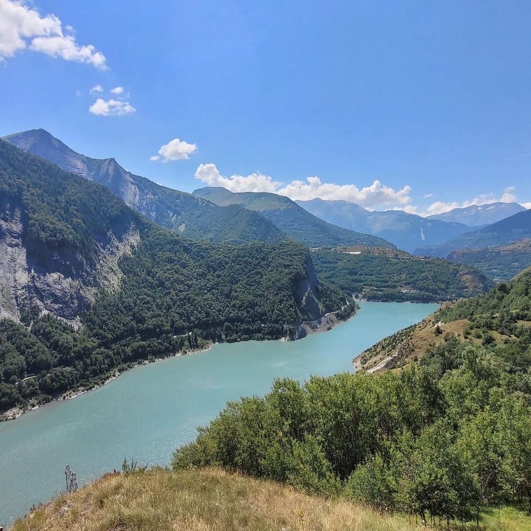
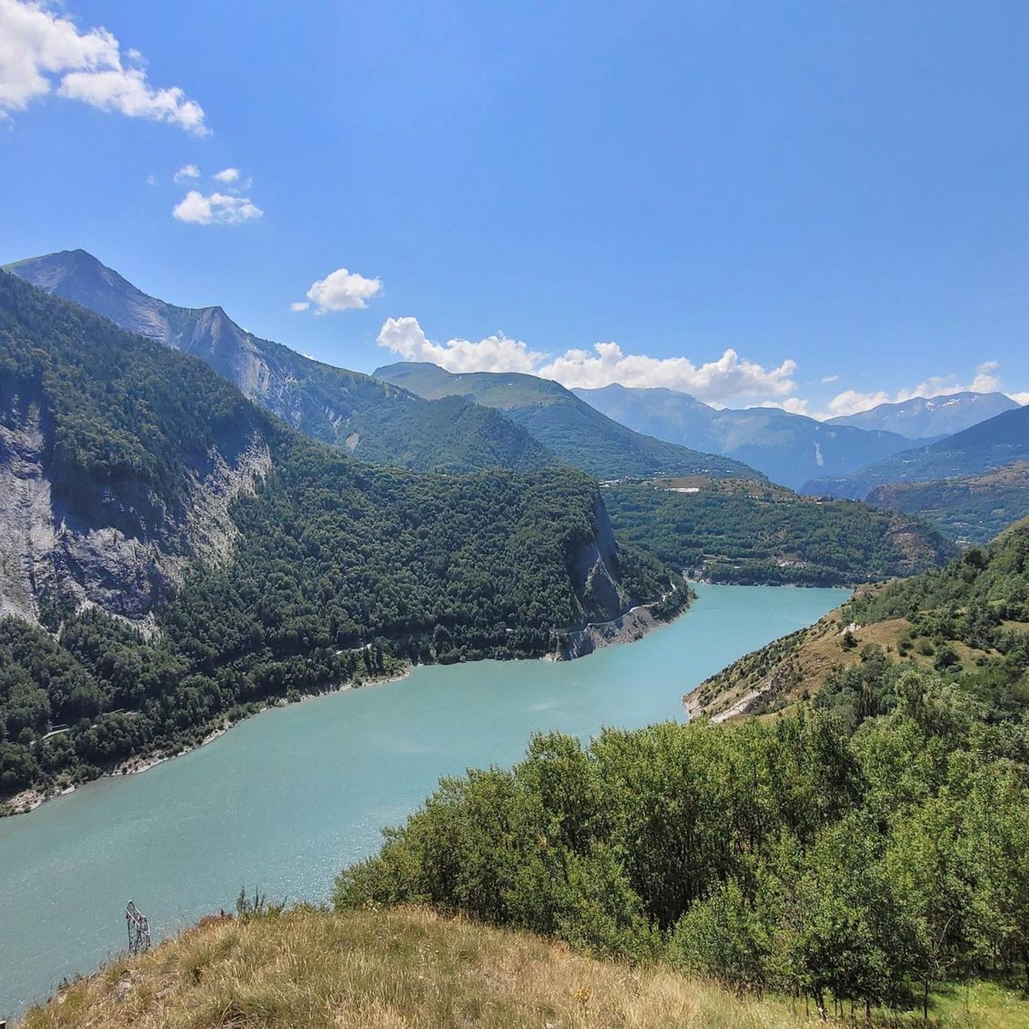
The village of Mizoen, located in the Isère department of France (Auvergne-Rhône-Alpes region), is a typical mountain settlement at the entrance to the Écrins National Park, near Le Bourg-d'Oisans. Its history is deeply linked to mountain agriculture, livestock farming, and, more recently, tourism development thanks to its proximity to the renowned Les Deux Alpes ski resort, offering a peaceful and panoramic setting overlooking Lake Chambon.
4
0

The Col du Lautaret has long been used as a communication route between Grenoble and Briançon, and even as a means of access to Italy via the Alps. The road to the Col du Galibier, on the southern slope, starts from the Col du Lautaret. The Guisane River rises at the Col du Lautaret. This pass is also part of the Route des Grandes Alpes.
0
0

A beautiful route, though challenging, with the last 4 kilometers reaching between 8.5 and 10%. The descent is on a rough road with many potholes. After 5 kilometers, it becomes easier again. A truly stunning route with little to no traffic and beautiful scenery.
0
0

A majestic mountain that towers above all the others.
18
0

komootモバイルアプリでインスピレーションを得よう


さらに探索
他の地域の最高のロードサイクリングルートを見てみましょう。
