チャのおすすめライド
4.5
(452)
19,254
ライダー
335
ライド
チャ周辺のロードバイクルートをお探しですか?ここでは、komootが提供するチャでのロードバイクライドのコレクション全体を評価して選び抜いた人気ルートをご紹介します。各ライドの詳細をぜひご覧ください。
最終更新日: 10月 16, 2026
4.6
(39)
1,271
ライダー
72.9km
03:45
1,150m
1,150m
This difficult 45.3-mile road cycling loop from Malsaucy ascends the historic Ballon d'Alsace, offering panoramic views and a significant cl
4.6
(18)
560
ライダー
54.9km
02:55
940m
940m
Tackle the difficult La Planche des Belles Filles — Loop from Malsaucy, a 34.1-mile road cycling route with 3082 feet of elevation gain.

5.0
(7)
588
ライダー
80.4km
04:04
1,300m
1,300m
難しいロードライド. 標準以上のフィットネスレベルが必要です。 全般的に舗装状態が良好で走行しやすい道です。
4.3
(8)
488
ライダー
58.1km
02:44
690m
690m
中程度のロードライド. ある程度のフィットネスレベルが必要です。 全般的に舗装状態が良好で走行しやすい道です。
4.8
(13)
567
ライダー
48.0km
02:37
940m
940m
難しいロードライド. 標準以上のフィットネスレベルが必要です。 ツアーの一部に、未舗装のため走行が難しい箇所があるかもしれません。
さらに多くのルートや他のユーザーのおすすめ情報を確認できます。
すでにアカウントをお持ちですか?
おすすめのツアーは他のkomootユーザーが実際に経験した何千ものアクティビティに基づいています。
無料アカウントで今日から始めよう
次の冒険が待っています。

コミュニティからのヒント

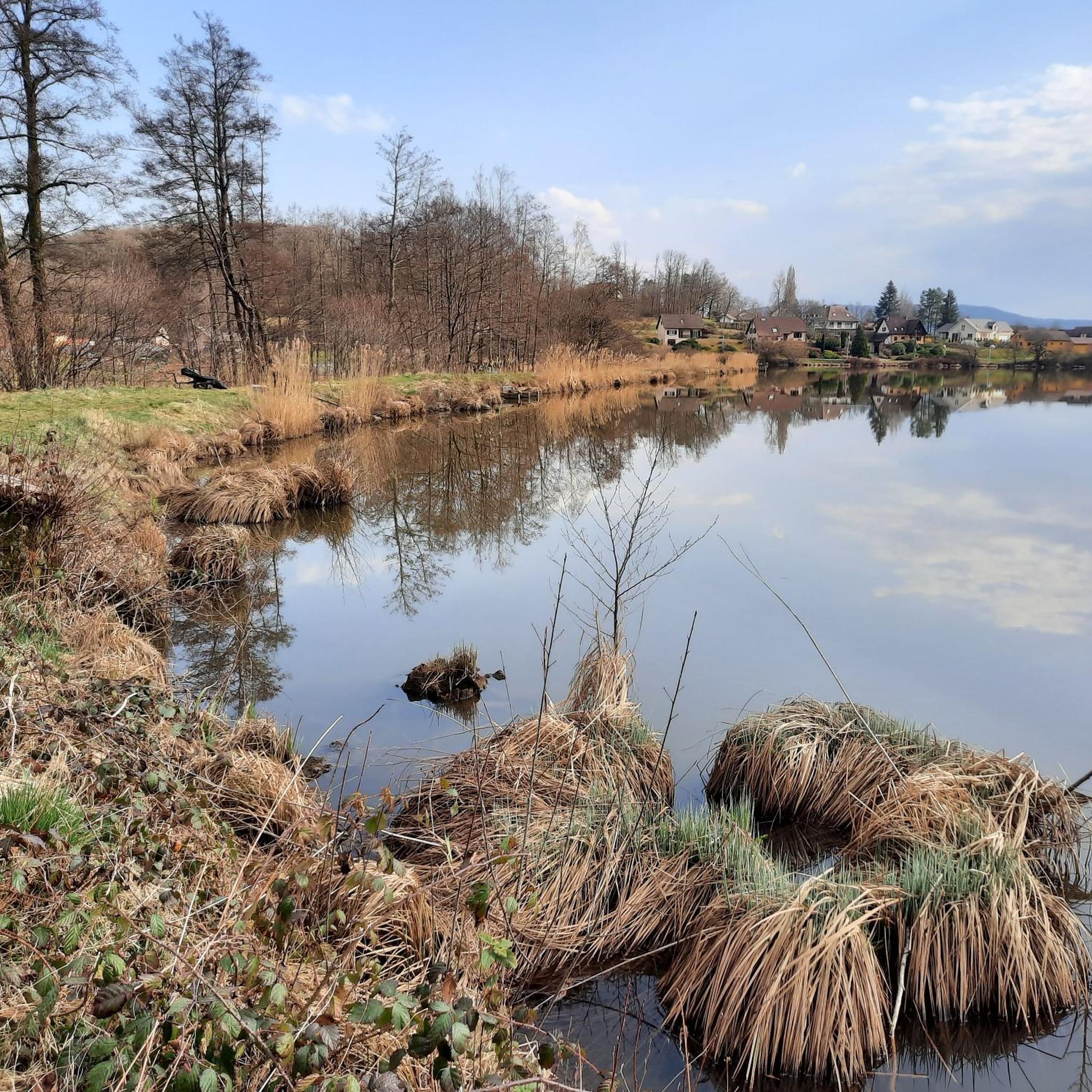
エタン・デュ・マルソーシー(エタン・デュ・マルソーシー、しばしばラック・デュ・マルソーシーとも呼ばれる)は、面積55ヘクタールで、フランスのテリトワール・ド・ベルフォール県の最大の湖です。ヴォージュ山脈自然公園に囲まれ、エヴェット=サルベール、ラシャペル=スー=ショー、セルママーニュの自治体にまたがっています。元々は15世紀末に養魚のために作られましたが、現在ではこの地域の最も重要なレクリエーションおよび自然保護区の1つとなっています。
6
0
バルー・ダルザスへの登り道沿いにある風光明媚な貯水池で、ヴォージュ山脈の木々に覆われた斜mathbb{に囲まれています。🚴⛰️🌲
7
0
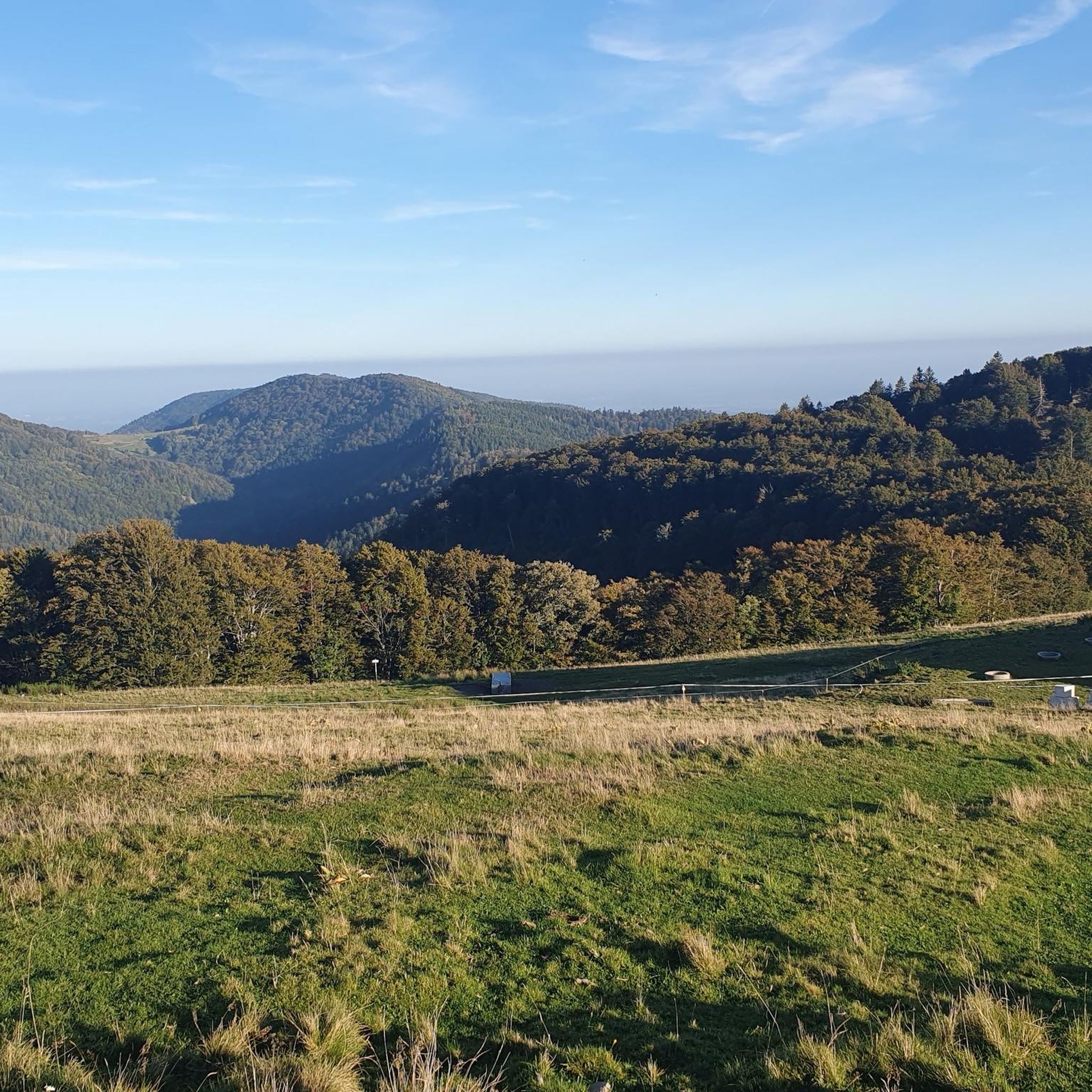
Ballon d'Alsaceへの登りにある壮大なヘアピンカーブ。道が斜面を蛇行するにつれて、ヴォージュの木々に覆われた谷の素晴らしい景色が開けます。
6
0
Ballon d'Alsaceの麓にある絵のように美しい山岳湖で、森と険しい斜面に囲まれています。🚴♂️🏞️⛰️
6
0
De Col des Croix is a 679-meter-high mountain pass in the French Vogezen massif, located on the border of the Vosges and Haute-Saône departments. The pass forms an accessible connecting road (the D486) between the northern Le Thillot and the southern Servance. At the top, you will find the well-known Le Chalet Snack du Col des Croix, and the road splits towards the D16 (Route des Forts), the route that continues to the higher Ballon de Servance.
6
0
Ballon de ServanceからCol des Croixへの下りは、Route des Forts(D16)沿いの10.1キロメートルのテクニカルで静かなルートです。このライドでは、平均4.7%の勾配で478メートルの高低差を下げます。 私は楽しい下りだと思いました。
7
0
The end of the climb is somewhat disappointing. There is nothing marked. No photo opportunity. You have a small parking lot, a closed military road, and a picnic spot well hidden under the trees. At the two yellow signs (mainly for hikers) there is the only indication that you are at the Ballon de Servance and at 1158 m. The climb is "cozy". No cars, completely shaded, a few kilometer markers.
7
0
Plancher‑Basから、シュヴァイツァー・バルーン自然公園の奥深くにあるバルー・ド・セルヴァンスへの、長く静かな森の登りが始まります。18キロメートル以上にわたって約900メートル登りますが、本当の標高差は最後の数キロにあります。そこでは5%から12%の勾配が、鬱蒼とした日陰の森を抜けて、着実にあなたを押し上げます。道は狭く、静かで、完全に自然を感じられる — あなたが完全にリズムに乗れる登りです。頂上には、典型的な展望台はありませんが、軍事用地の近くにある開けた場所があります。質素で、静かで、だからこそセルヴァンスらしいのです。
7
0

komootモバイルアプリでインスピレーションを得よう


さらに探索
他の地域の最高のロードサイクリングルートを見てみましょう。
