レマルトルダルティエールのおすすめツーリングルート
4.3
(271)
2,503
ライダー
257
ライド
サイクリングルートは、レス・マルトル・ダルティエール周辺の肥沃なリマーニュ平野を横切り、ヨーロッパ最後の自然河川の一つであるアリェ川に沿って走ります。地形は概して平坦で、平均標高は約300メートル、標高差は最小限です。ルートは主に交通量の少ない小さな田舎道を利用しており、田園風景の中を静かにサイクリングできます。アリェ川沿いの地域は、ナチュラ2000保護区「ヴァル・ダリエール - アラニョン」の一部です。
レス・マルトル・ダルティエール周辺のベストサイクリングルート
- 最も人気のあるサイクリングルートは、レス・マルトル・ダルティエール発の「ポン・デュ・シャトー – マルタイユ池周回ルート」で、距離は23.7km、所要時間は1時間44分です。この簡単なルートからは、地元の池や周囲の田園風景を眺めることができます。
- 地元のサイクリストに人気のもう一つのルートは、ボーレガール・レヴェック発の「キュラ教会 – ヴィンゼル教会周回ルート」で、距離は56.5kmの中級ルートです。このルートは、小さなコミューンや農地を通り抜け、オーヴェルニュ地方の田園の魅力を探求します。
- 地元のサイクリストに愛されているのは、ポン・デュ・シャトー発の「ダルレ村 – ダルレ橋周回ルート」で、距離は32.3km、アリェ川の谷を通り抜け、所要時間は約2時間34分です。
- レス・マルトル・ダルティエール周辺のサイクリングは、静かなアリェ川、広大なリマーニュ平野、そして小さな田舎道のネットワークによって特徴づけられます。ルートは、簡単な周回コースからより挑戦的な距離まで、様々なレベルのサイクリストに対応しています。
- レス・マルトル・ダルティエールのルートは、komootコミュニティから高く評価されており、240件以上のレビューで平均4.4つ星を獲得しています。2000人以上のサイクリストがkomootを利用して、レス・マルトル・ダルティエールの多様な地形を探索しています。
最終更新日: 11月 1, 2026
5.0
(3)
17
ライダー
23.7km
01:44
120m
120m
初級者向けバイクライド. ほとんどが舗装路です。
5.0
(2)
11
ライダー
17.5km
01:20
130m
130m
初級者向けバイクライド. ほとんどが舗装路です。

5.0
(2)
20
ライダー
27.5km
02:12
330m
320m
中程度の自転車ライド. ある程度のフィットネスレベルが必要です。 ほとんどが舗装路です。
4.3
(7)
76
ライダー
19.3km
01:22
100m
110m
難しい自転車ライド. ツアーの一部で自転車を押して歩く必要があるかもしれません。
12
ライダー
49.1km
03:57
440m
440m
難しい自転車ライド. ある程度のフィットネスレベルが必要です。 ツアーの一部で自転車を押して歩く必要があるかもしれません。
さらに多くのルートや他のユーザーのおすすめ情報を確認できます。
すでにアカウントをお持ちですか?
おすすめのツアーは他のkomootユーザーが実際に経験した何千ものアクティビティに基づいています。
無料アカウントで今日から始めよう
次の冒険が待っています。
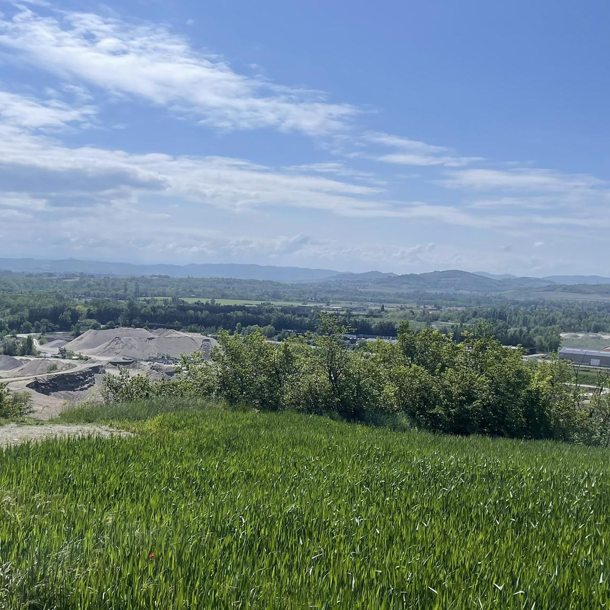
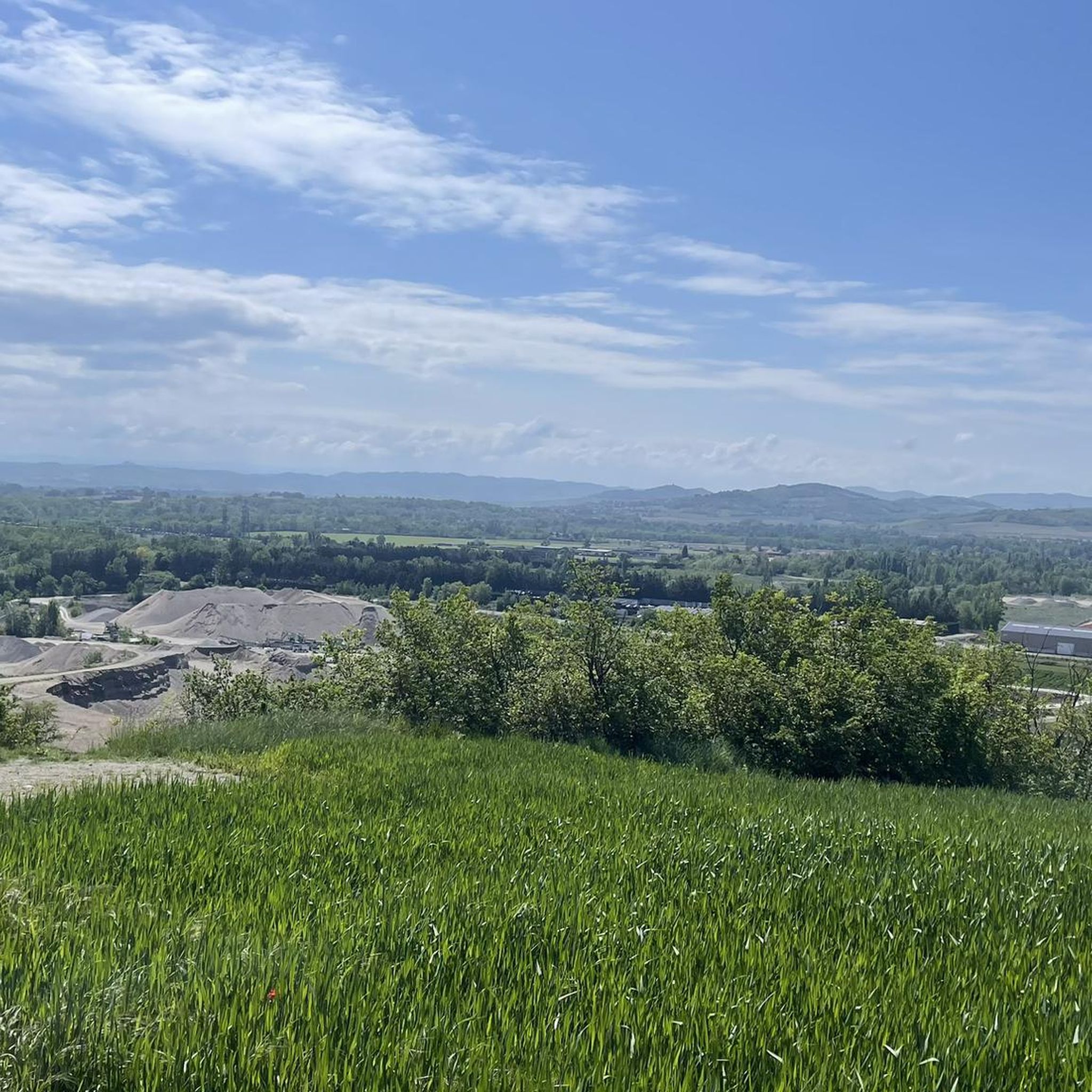
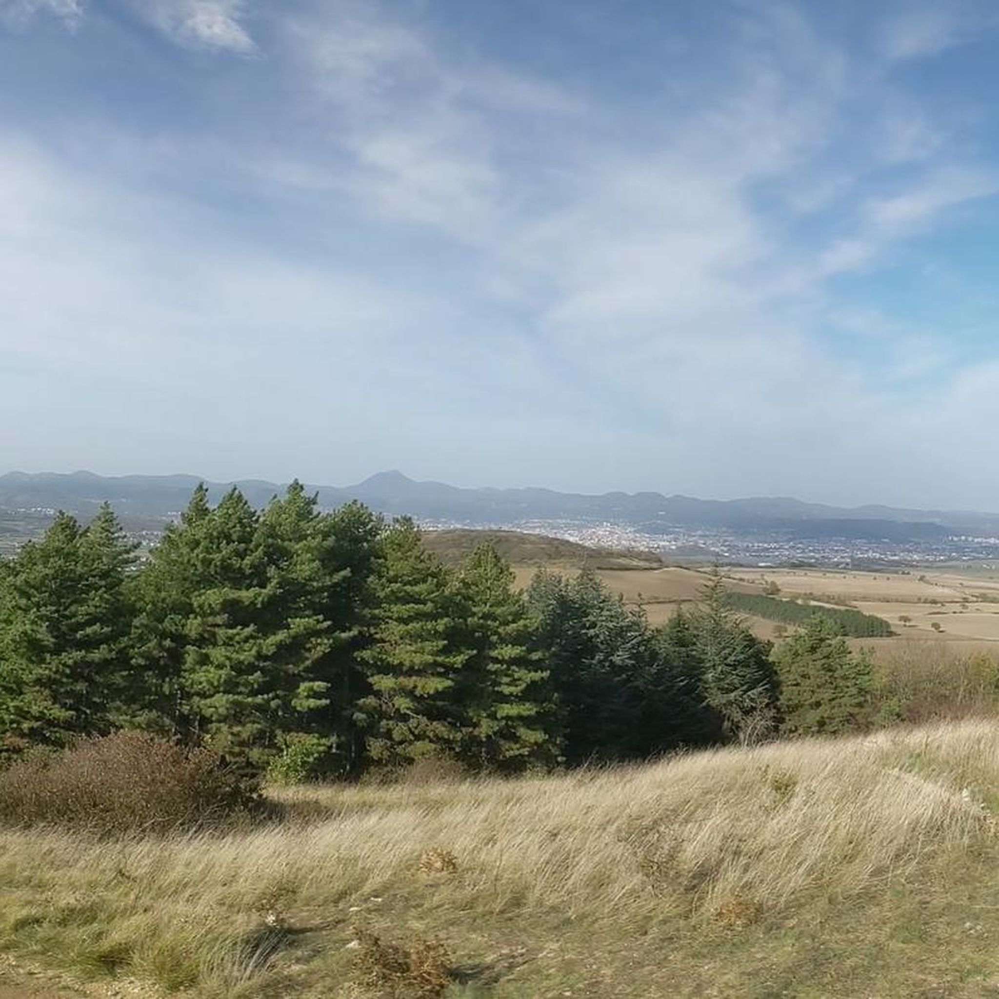

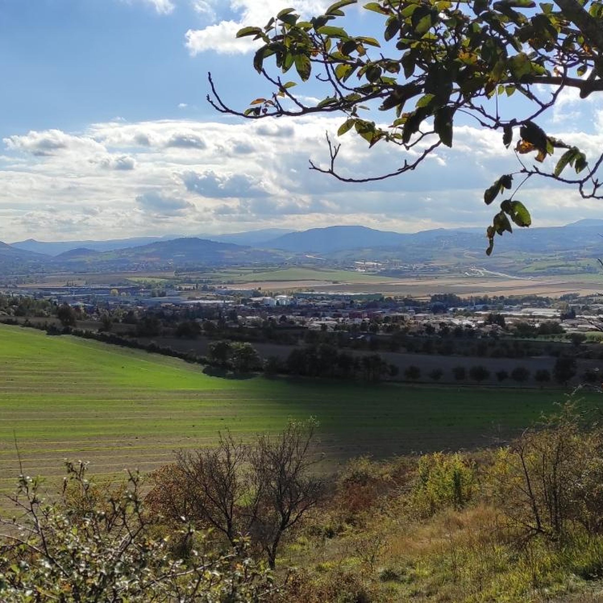
コミュニティからのヒント

Inaugurated in 1889, this Eiffel-type road bridge was recently restored with the addition of two separate lanes to make it safer for pedestrians/cyclists to cross the Allier River.
2
0

Nice place, take the opportunity to go up to Puy d'Anzelles which is right next door!!
1
0

Located on the banks of the Allier, Pont-du-Château has long been the river port of the Auvergne capital. This medieval town has narrow streets with atypical charm. Its Pierre Mondanel museum allows you to delve into the history of the city which was from the 16th to the 19th century an essential place for boating activity.
0
0

The Puy de Bane above Cournon offers lovely views over the plain of Clermont and the Puys range
0
0

Bridge after gravel section coming from Clermont which offers a view in a straight line on the West and the Puy de Dôme and the East, the Forez mountains
0
0

Plateau on the heights of Cournon (many paths present) with a view of the Puy de Dôme
0
0

The Martailles lake is a very beautiful sand pit located at Les Martres d'Artière in the Puy de Dôme at an altitude of around 300 meters, in the immediate vicinity of the Allier and the Artière.
0
0

Dallet is a pretty village located 12 kilometers east of Clermont-Ferrand, on the banks of the Allier river. Dallet is installed on the slope of the Puy de Mur, a hill of volcanic origin overlooking the entire village and culminating at 603 meters above sea level. Dallet is located on the route of the Véloroute V70. "Les Ombrages" campsite on the banks of the Allier.
0
0
レマルトルダルティエールでのの人気観光スポット

komootモバイルアプリでインスピレーションを得よう


さらに探索
他の地域の最高のサイクリングルートを見てみましょう。
