オッスの絶景の山頂・トップ20
絶景を目指して登るのであれ、達成感のために登るのであれ、山頂を訪れることで、オッスの美しい自然をもっと満喫することができます。20
もの選択肢の中から、制覇する山頂を決めるのは簡単ではありません。スムーズに次の冒険で目指す山頂を選べるように、オッスの素晴らしい山頂をこのガイドにまとめました。
最終更新日: 9月 20, 2026
イパルラ峰
ハイライト • 山頂
翻訳者 Google •
役立つ情報 は

ムノア山頂
ハイライト • 山頂
翻訳者 Google •
役立つ情報 は

今すぐサインアップして、こんな場所を発見しよう
最高のシングルトラック、ピーク、その他のエキサイティングなアウトドアスポットのおすすめを受け取ろう。
アルツァメンディ山
ハイライト • 山頂
翻訳者 Google •
役立つ情報 は
ビダライからクレート沿いにイパルラ山へ
ハイライト (セグメント) • 山頂
Superb view of the Pyrenees, mountains and the Basque coast.
Variant on this route, going up, turn right before …
翻訳者 Google •
役立つ情報 は

アルカシュリ(標高967 m)
ハイライト • 山頂
The panorama is magnificent, especially on the neighboring ridge of Iparla as well as the peaks of the …
翻訳者 Google •
役立つ情報 は
無料でサインアップして、さらに多くの山を発見しましょう オッスでの。
すでにアカウントをお持ちですか?
無料アカウントで今日から始めよう
次の冒険が待っています。



コミュニティからのヒント

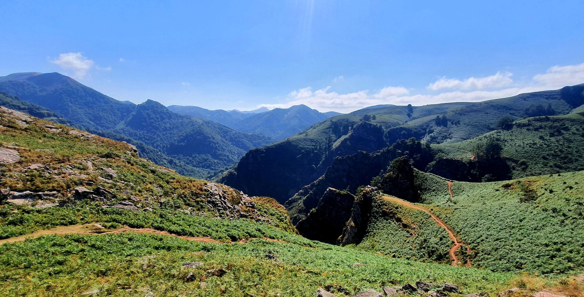
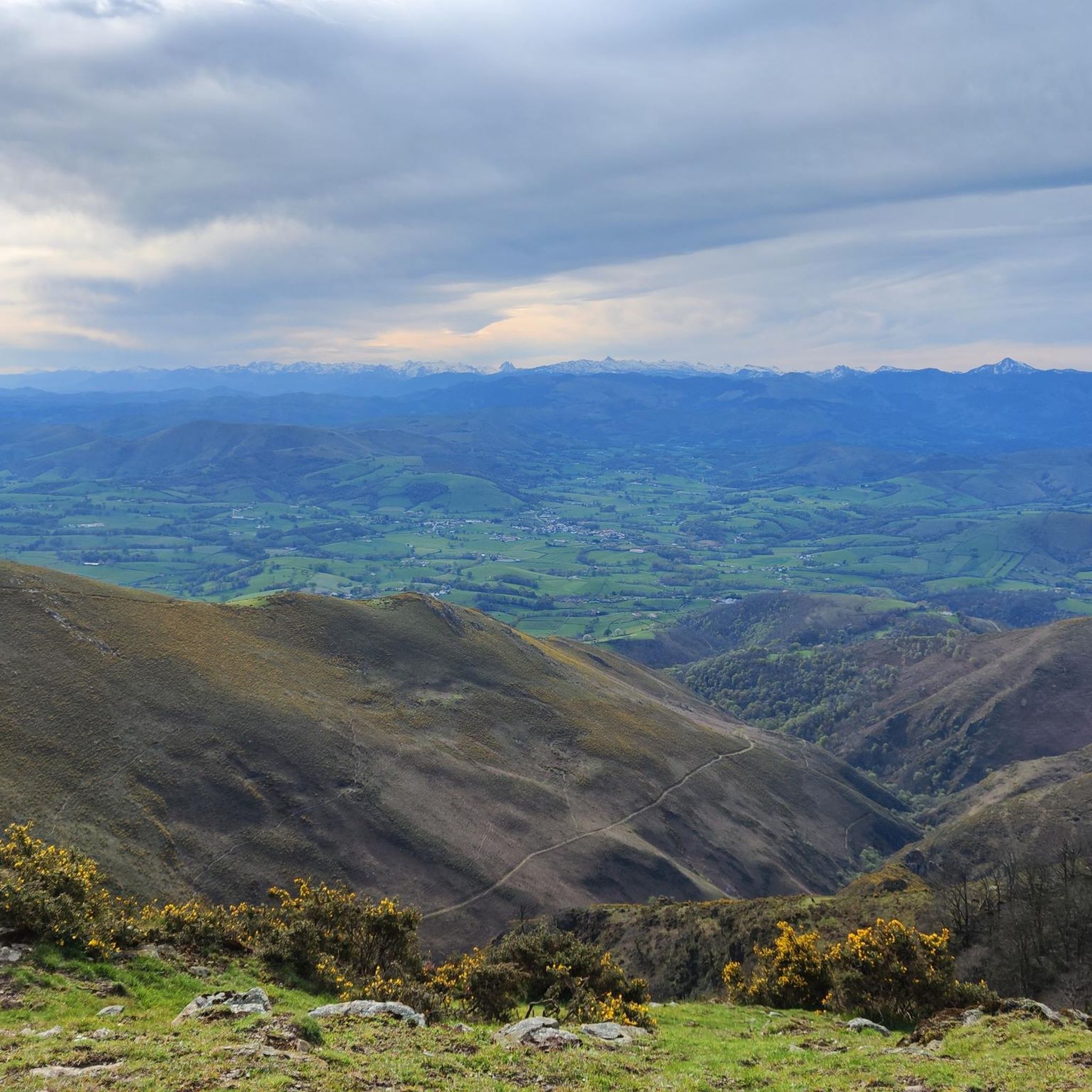
Very beautiful hike, quite difficult, it climbs steeply from the start. Superb view of the Pyrenees, mountains and the Basque coast. Variant on this route, going up, turn right before starting the ascent along the ridge line... easier. End of hike, poorly described with a return to the village very far from the fronton parking lot. D or my turn back at the end. Have a good hike 🥾🌶️⛰️
0
0

Munhoa is a peak in the French Basque Country which rises to 1,023 meters above sea level. Its toponymy finds its origin in the Basque word “muino” which means hill. From this mountain you can admire the valleys of Luzaide and Baïgorry separated by the Adartza massif.
1
0
The Munhoa is a peak in the French Basque Country which culminates at 1,023 meters above sea level. Its toponymy finds its origin in the Basque word muino which means hill. From this mountain you can admire the valleys of Luzaide and Baïgorry separated by the Adartza massif.
2
1


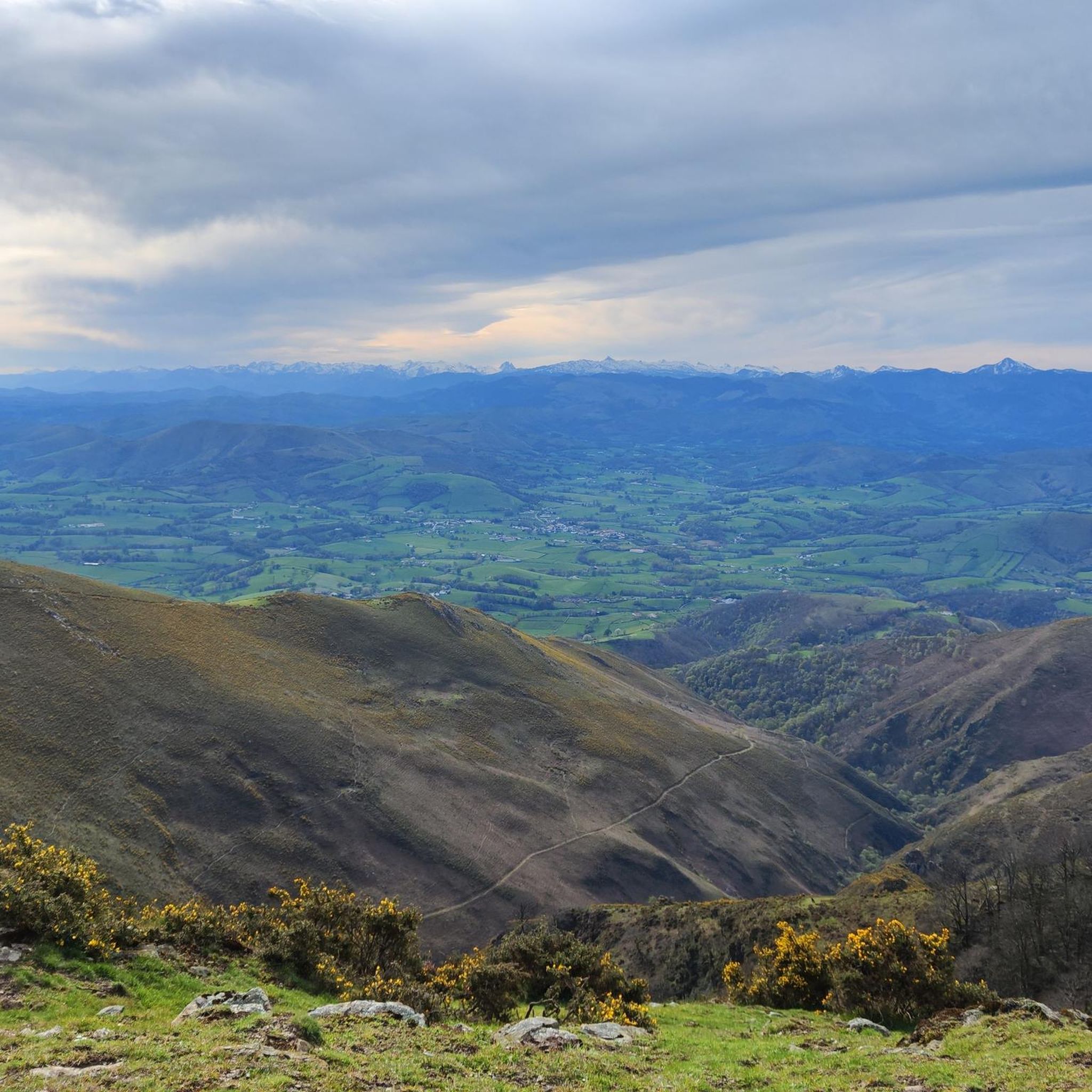
Mount Artzamendi is reached by a short but particularly demanding climb. From Laxia, the climb is 5.6 kilometers at an average of 11% with passages at 19%. At the top, the panorama of the Basque Country extends practically to the Atlantic coast.
3
1
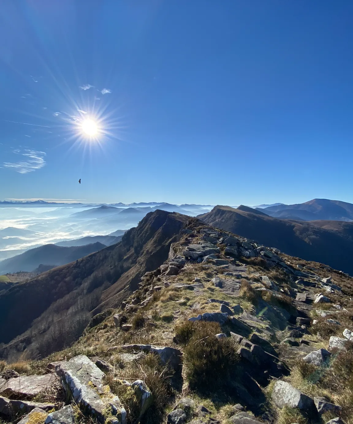
The Alkaxuri dominates a superb ridge at an altitude of 949 meters. The panorama is magnificent, especially on the neighboring ridge of Iparla as well as the peaks of the Pyrenees chain in the distance. Access to this ridge is not easy, but the view is well worth it.
3
0
The peak of Iparla dominates the ridges of the same name, culminating at 1,044 meters above sea level. This magnificent natural wall symbolizes the separation between France and Spain. From the village of Bidarray the ascent is gradual without too much difficulty along the ridge.
4
0
The Artzamendi rises to 924 meters above sea level, making it the highest point in the province of Labourd. The "mountain of the bear" in Basque is identifiable by its large white ball which serves as a civilian radar station. This summit offers a very nice 360 degree panorama.
2
0
オッスでのの人気観光スポット

komootモバイルアプリでインスピレーションを得よう


さらに探索
これらのガイドでさらに素晴らしい頂上を見てみましょうオッスでの:
