ロシュブルヌのおすすめツーリングルート
4.5
(99)
1,689
ライダー
56
ライド
ロシュブルヌ周辺でのおすすめのサイクリングルートを参考にして、このエリアを最大限に楽しみましょう。ここでご紹介するのは、ロシュブルヌ周辺の人気バイクライドです。ぜひ、自分に合ったルートを見つけてください。
最終更新日: 9月 6, 2026
4.1
(7)
94
ライダー
49.7km
03:26
920m
920m
難しい自転車ライド. 標準以上のフィットネスレベルが必要です。 全般的に舗装された状態です。あらゆるスキルレベルに適しています。
5.0
(2)
178
ライダー
90.0km
06:31
1,960m
1,960m
難しい自転車ライド. 標準以上のフィットネスレベルが必要です。 全般的に舗装された状態です。あらゆるスキルレベルに適しています。

無料新規登録
4.7
(6)
92
ライダー
60.6km
04:05
1,060m
1,060m
難しい自転車ライド. 標準以上のフィットネスレベルが必要です。 全般的に舗装された状態です。あらゆるスキルレベルに適しています。
5.0
(3)
41
ライダー
31.3km
02:44
1,130m
1,130m
難しい自転車ライド. 標準以上のフィットネスレベルが必要です。 全般的に舗装された状態です。あらゆるスキルレベルに適しています。
5.0
(2)
25
ライダー
23.9km
02:17
1,080m
1,080m
難しい自転車ライド. 標準以上のフィットネスレベルが必要です。 全般的に舗装された状態です。あらゆるスキルレベルに適しています。
さらに多くのルートや他のユーザーのおすすめ情報を確認できます。
無料新規登録
すでにアカウントをお持ちですか?
おすすめのツアーは他のkomootユーザーが実際に経験した何千ものアクティビティに基づいています。
無料アカウントで今日から始めよう
次の冒険が待っています。
ログインまたは登録
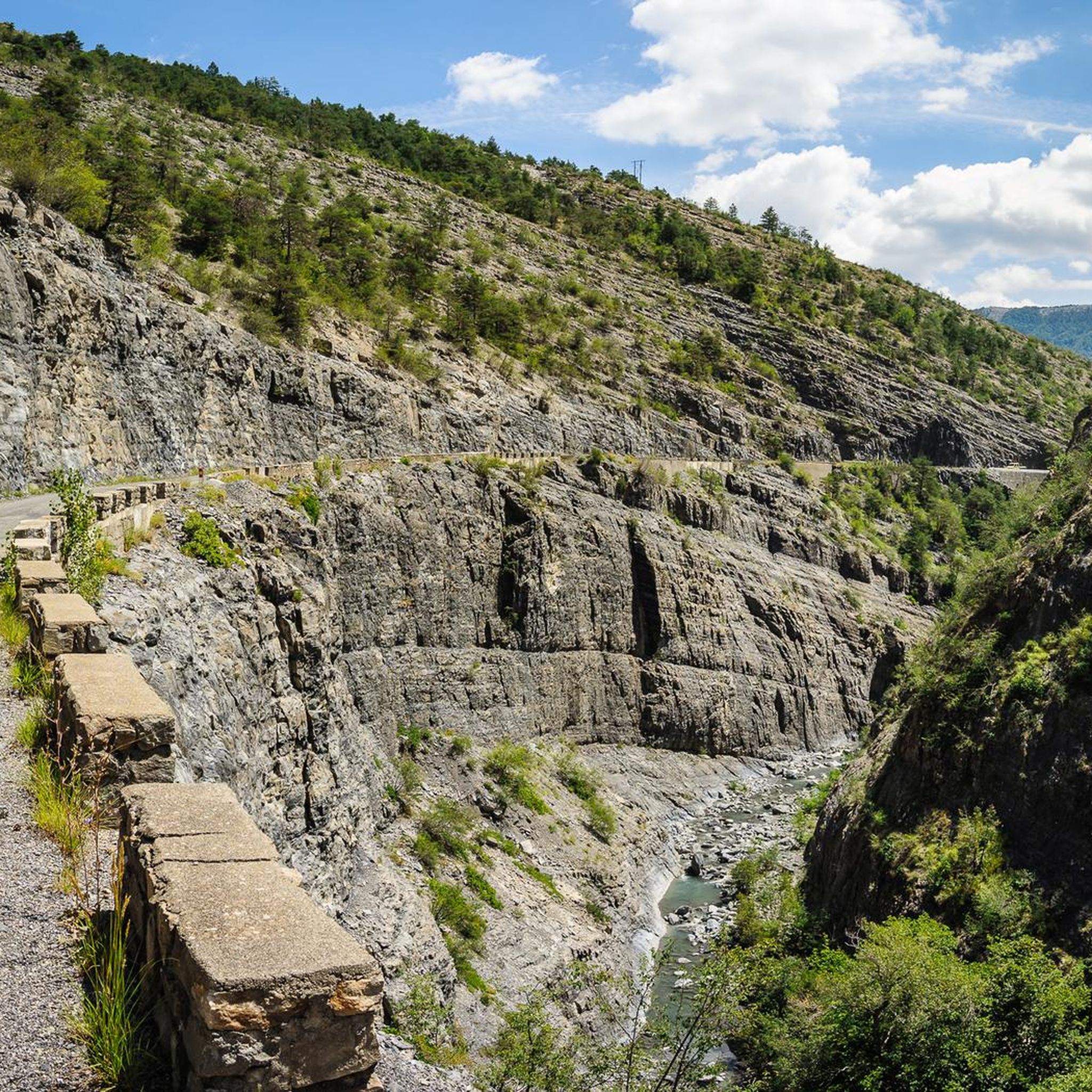
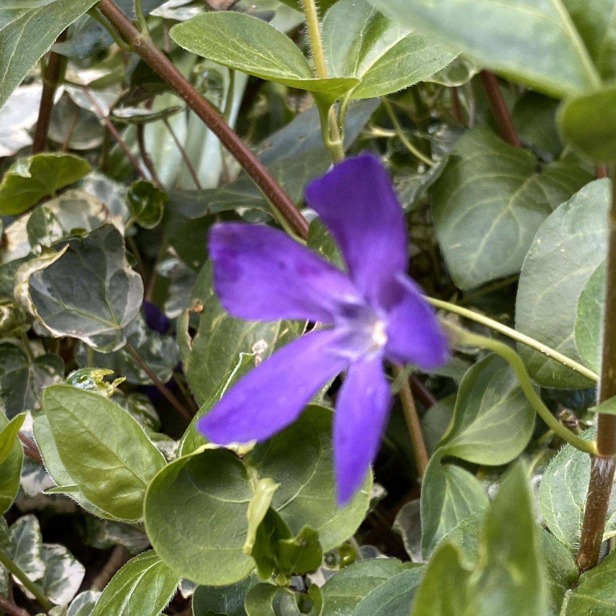

コミュニティからのヒント

Not the most beautiful highlight. But the drive there is definitely worth it! Especially if you're coming from the south. For campers at Le Clot du Jay: highly recommended!
0
0

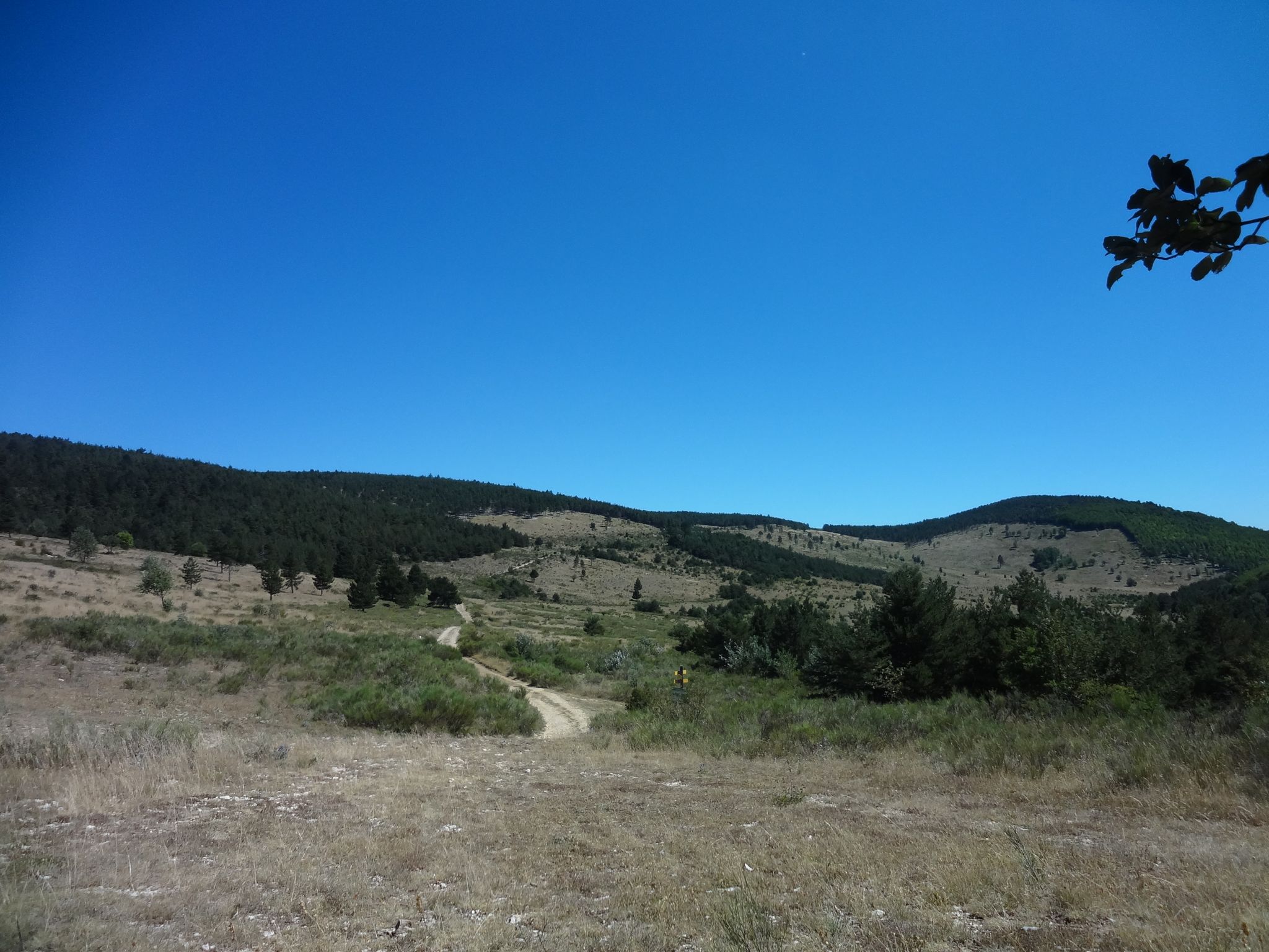
Little traffic. It connects the Sasse valley to the Turriers basin. It is located at an altitude of 1,176 meters.
1
0
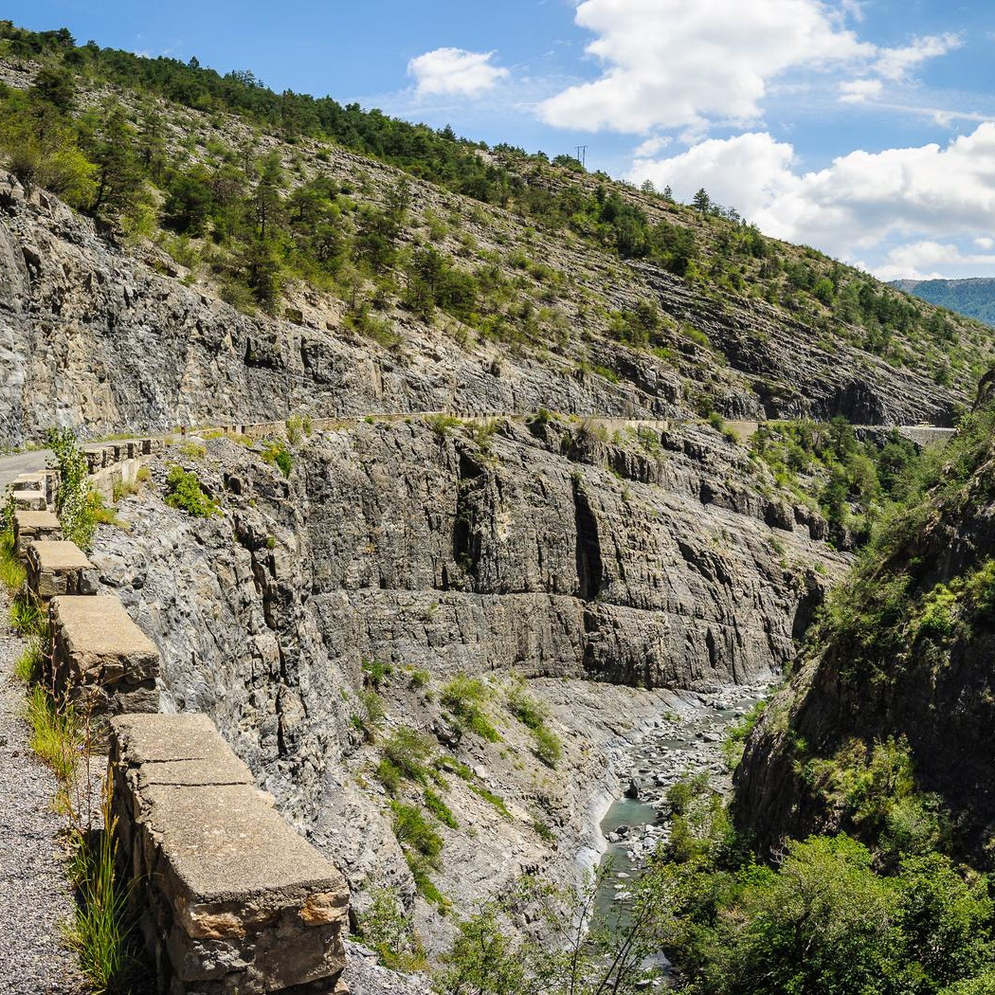
The Astoin turnstiles refer to the series of hairpin bends described by the departmental road no. 1 to cross the rocky barrier formed by the Jurassic limestones that close the Sasse basin to the north. This road replaced the mule track that winds along the other bank of the Eau Amère and which is much older: it already appears on the Cassini map in the 18th century. This road allows the Bayons valley, its forests, its mountain pastures to communicate with the Turriers basin and, via the Garcinets pass, with Seyne and the Blanche valley. This RD 1 partly succeeded the main road from Seyne to Apt (1885), itself the heir to the D 17 of 1813. It should be noted that the village of Bayons is only served by this single road which must cross the Tourniquets upstream and the Clue de Bayons downstream.
0
0

Beautiful and useful fountain with fresh water
1
1

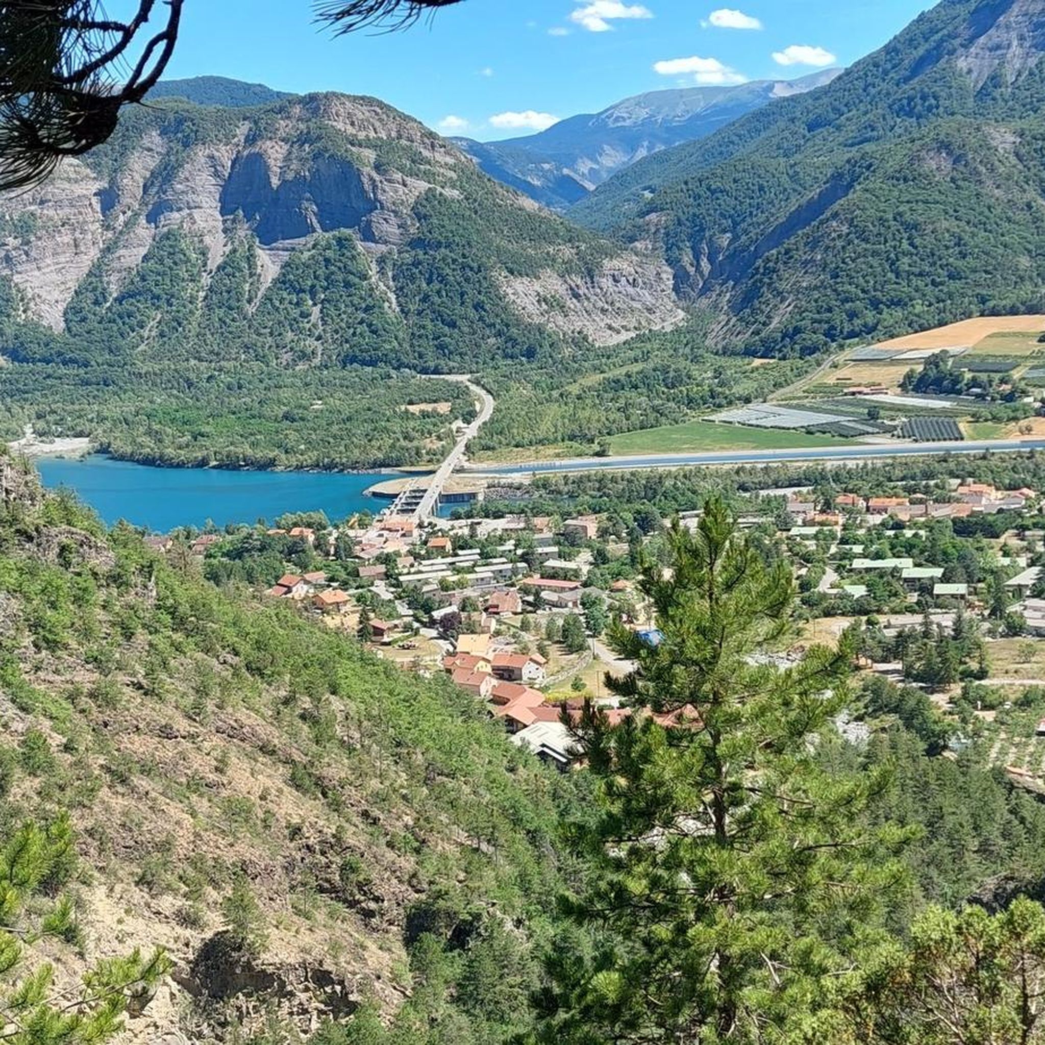
From this point you can admire the beautiful Lake Serre Ponçon.
7
0
Very nice to pass over this bridge but pay attention to the traffic.
15
0

From Mont Colombis you can enjoy a wonderful panoramic view. Kilometers 4 to 1 before the summit are pretty tough at around 13%. We hiked the last 4 kilometers.
0
0

komootモバイルアプリでインスピレーションを得よう


さらに探索
他の地域の最高のサイクリングルートを見てみましょう。
