ヴァールバッハ周辺のアトラクション&必見スポット - トップ20
ヴァールバッハには必見のスポットがたくさんあります。ハイキング愛好家やサイクリング愛好家の方は、ぜひヴァールバッハを探索してこのエリアにある20
の隠れたスポットを訪れてみてください。このエリアの必見スポットを確認し、次の冒険に出かける計画を立てましょう。
最終更新日: 8月 29, 2026
ジリスハイムの跳ね橋と第35水門
ハイライト • 橋
翻訳者 Google •
役立つ情報 は

Collège Épiscopal "Petit Séminaire" de Zillisheim
ハイライト • 歴史的な場所
翻訳者 Google •
役立つ情報 は

今すぐサインアップして、こんな場所を発見しよう
最高のシングルトラック、ピーク、その他のエキサイティングなアウトドアスポットのおすすめを受け取ろう。
無料新規登録
フォレ・ドマニアル・ド・ラ・ハルト=シュッドをまっすぐに通る道
ハイライト (セグメント) • サイクリングロード
翻訳者 Google •
役立つ情報 は

ジリスハイムの大砲
ハイライト • 歴史的な場所
翻訳者 Google •
役立つ情報 は


無料アカウントで今日から始めよう
次の冒険が待っています。
ログインまたは登録


コミュニティからのヒント

Beneath the forest canopy, you can discover numerous traces of bygone times, still visible or legible; only the "barracks" have disappeared. During a guided tour with one of the site's enthusiastic volunteers, you can explore the underground tunnels and discover the organization of this impressive military infrastructure. Of course, you can also visit the surface infrastructure yourself, following the marked route, where the panels provide detailed explanations. An application, "Site du Grand Canon de Zillisheim," is also available for download.
5
0

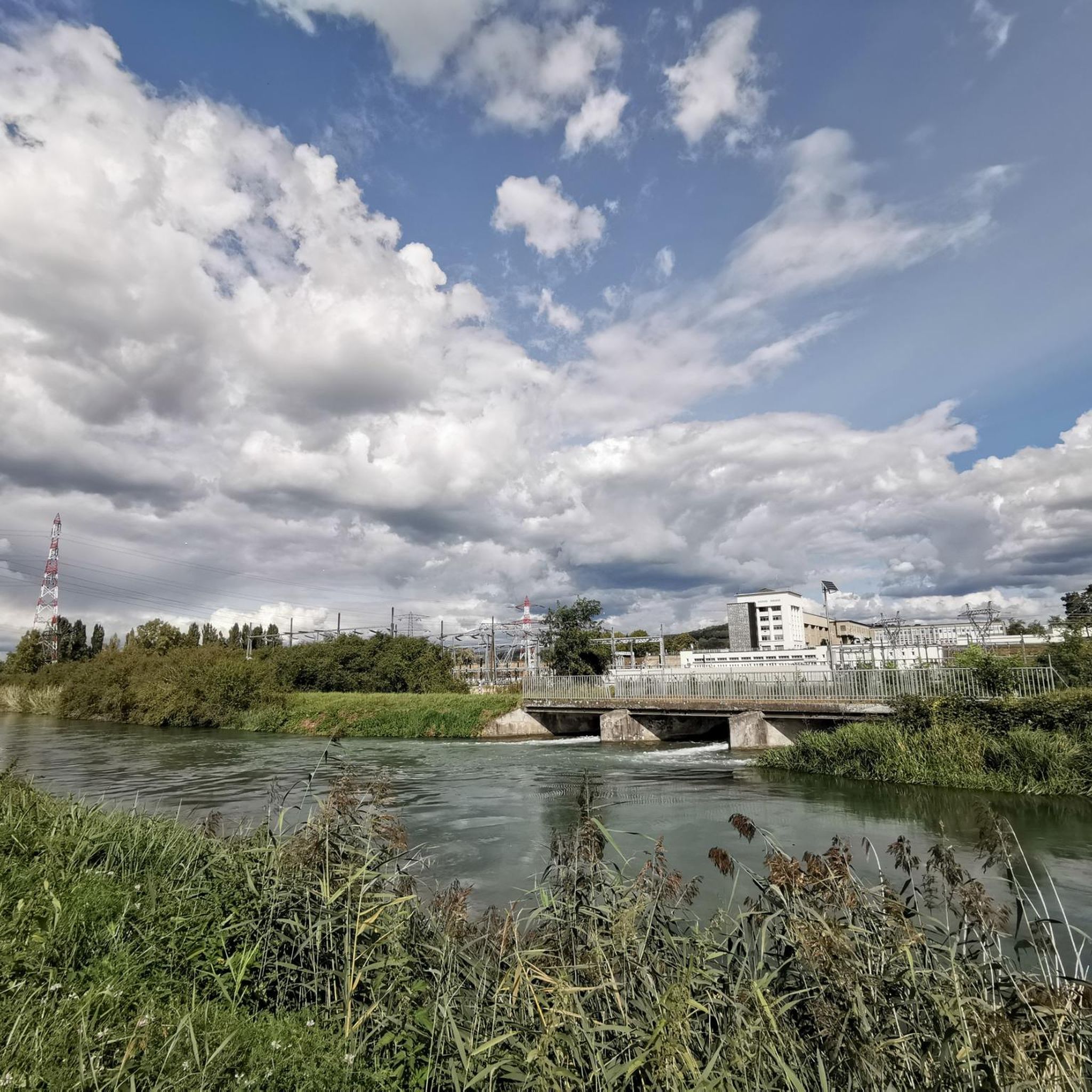
Rivers and canals crisscross the country, the latter in particular being a crucial part of the transport infrastructure in earlier times. Later, first rail, and later again trucks, took over the task of transporting goods. In the competition between different modes of transport, they were faster and cheaper than barges – and thus more efficient. When building the artificial waterways, however, it had to be taken into account that differences in elevation always had to be overcome, and so locks are often lined up along the canals – at varying intervals, depending on the local situation. Only with their help was shipping possible.
0
0

The castle fits nicely into the panorama. But I didn't go there.
0
0

Straight, endless cycle path through the forest
0
0

This site is the location of a “KW” cannon of the “Kaiser Wilhelm Geschutze” or “Max le long” type whose mission, during the First World War, was to fire large detonations at Belfort to provide a diversion during attacks. on Verdun and the forts of Vaux and Douaumont.
2
0

Nice and car-free, but also boring straight for so long. Road surface could be better
1
0

A long straight road that crosses the Hardt-Sud national forest. The ideal terrain for riding fast, sheltered by trees. Be careful because there are several level crossings where you are not given priority.
3
0

Some roads are not that good anymore; but still drivable.
3
0

komootモバイルアプリでインスピレーションを得よう


さらに探索
まだ探しているハイライトが見つかりませんか?他の地域のトップアトラクションのガイドを見てみましょう:
