ルートプランナー機能アップデート
App
ログインまたはサインアップ
アプリを入手
ログインまたはサインアップ
ルート
Places to see
Mountain passes
フランス
プロヴァンス-アルプ-コート・ダジュール
フランスのリビエラ
ドラギニャン

ガッシン

ガッシンの峠・トップ6

風景を楽しんだり、上りや下りを満喫したり、峠には楽しみ方がたくさんあります。ガッシンの素晴らしい峠の一覧を参照して、思い出に残るアドベンチャーに出かけましょう。コミュニティのメンバーがコミュニティのために投稿した峠のハイライトは、他のユーザーが実際におすすめする情報なので、どれも信頼できるものです。気に入った峠にさっそく向かってみましょう。

最終更新日: 11月 9, 2026

カナデル峠

ハイライト • 山道

The Col de Canadel is 4.3 km long with a total drop of 239 m. The average steepness of the climb is 5.5% with some 10% steeper sections near the top before flattening out to 2%.

翻訳者 Google •

役立つ情報 は

によるものです

ここでのライドを見るスマートフォンに送信
保存

コル・ド・コレバス

ハイライト • 山道

The path to the climb is quite long with about 7-8 km of flat to hilly terrain before. The climb starts cleanly with 5km to the summit, where the gradient …

翻訳者 Google •

役立つ情報 は

によるものです

保存

今すぐサインアップして、こんな場所を発見しよう

最高のシングルトラック、ピーク、その他のエキサイティングなアウトドアスポットのおすすめを受け取ろう。

無料新規登録

カナデル峠からの眺め

ハイライト • 展望台

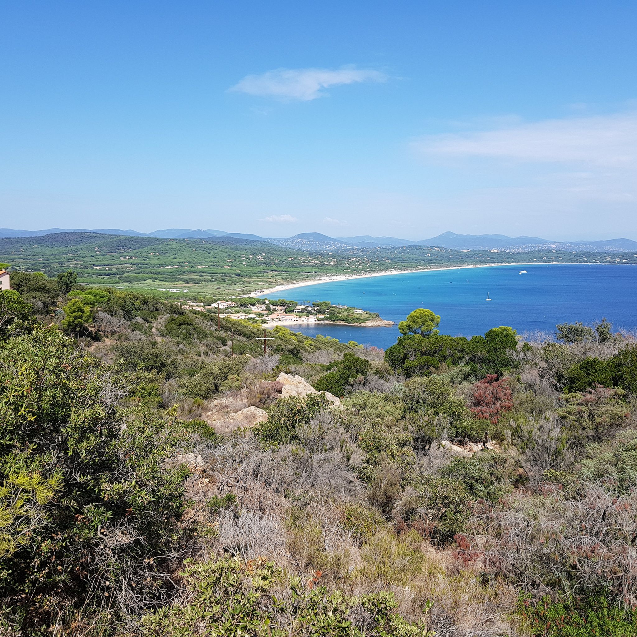
An easy and beautiful pass! On the south side, we have a permanent view of the Mediterranean with breathtaking landscapes. North side, wilder, we are in the Massif des Maures …

翻訳者 Google •

役立つ情報 は

によるものです

保存

コル・ド・ヴィニョン

ハイライト • 山道

very nice climb

翻訳者 Google •

役立つ情報 は

によるものです

保存

コル・デュ・カナデルのクレート街道

ハイライト (セグメント) • 山道

Route des Crêtes, Le Lavandou, via Col du Babaou, Collobrières, Col du Taillude, Col du Perier, Grimaud, Cogolin, Col du Canadel, the ridges, Le Lavandou. Elevation gain 1200m 88kms. Rather …

翻訳者 Google •

役立つ情報 は

によるものです

保存

無料でサインアップして、さらに多くの山道を発見しましょう ガッシンでの。

無料新規登録

すでにアカウントをお持ちですか?

無料アカウントで今日から始めよう

次の冒険が待っています。
ログインまたは登録

ガッシン周辺で人気

ガッシンのロードバイクルート

ガッシンのランニングコース

ガッシンでのサイクリング

ガッシンのMTBトレイル

ガッシンでのハイキング

ガッシンでののグラベルライド

コミュニティからのヒント

Steffen Wekeck
9月 1, 2026, Col du Canadel

美しく、アクセスしやすい展望スポット。車より自転車が多い!

Google翻訳による翻訳•

0

0

Beautiful climb, not too difficult and beautiful views

Google翻訳による翻訳•

0

0

Drazen
4月 23, 2025, Col de Vignon

quiet and beautiful

Google翻訳による翻訳•

0

0

Very nice route suitable for gravel. A good balance between paved roads and gravel tracks. Between the Col du Canadel and La Croix-Valmer, the DFCI track winds along the ridge offering beautiful views between the sea and inland massifs. Be careful in summer: the DFCI track may be prohibited (fire risks). Check authorizations on the site https://www.risk-prevention-feu.fr/var/index.html.

Google翻訳による翻訳•

3

0

Magnificent road, perfect complement to the Route des Cretes. Great tip, @Fabrice!

Google翻訳による翻訳•

1

0

Mythical pass, fantastic route and a breathtaking view of the Levant Islands (Porquerolles, Port Cros and Levant).

Google翻訳による翻訳•

3

0

The descent to La Croix Volmar is a real feast for the eyes on great asphalt.

Google翻訳による翻訳•

0

0

At 352 meters above sea level, the Col de Vignon is a popular spot for cyclists. If you take a break there, don't forget to encourage these two-wheeled athletes  !

Google翻訳による翻訳•

0

0

ガッシンでのの人気ルート

ガッシンのロードバイクルート

ガッシンでのの人気観光スポット

Places to see

Store rating

komootモバイルアプリでインスピレーションを得よう

無料のkomootアカウントがあれば、無限のアウトドアコースを簡単に見つけてカスタマイズし、ナビで案内できます。

または

今すぐkomootに参加しよう
Store rating

さらに探索

これらのガイドでさらに壮大な山道を見てみましょうガッシンでの:

Fréjusタネロンサン・ラファエルLes Adrets-De-L'EstérelLa Môleモンタローバニョルアンフォレモンスラヨル・カナデル・シュール・メール(Rayol-Canadel-Sur-Merカリアンコゴリンル・ムイグリモーレ・マイヨンCavalaire-Sur-Merトゥレットル・プラン・ドゥ・ラトゥールロクブルヌ=シュル=アルガンPuget-Sur-Argensラ・クロワ・バルマーサント・マキシム(Sainte-Maxime

近くのアドベンチャーガイド

ラ・クロワ・バルマーでやるべきこと

background

新しいピークを征服する準備をしよう

無料でサインアップ
探検する
ルートルートプランナー機能バウチャーを利用ハイキングMTBトレイルロードバイクルートバイクパッキングサイトマップ
アプリをダウンロード
SNSでフォローする

© komoot GmbH

プライバシーポリシー