クリュイのおすすめMTBライド
4.3
(99)
844
ライダー
67
ライド
クリュイ周辺には魅力的なマウンテンバイクルートがいくつもありますが、冒険を始めるにはその場所とルートを把握する必要があります。ここでは、komootが提供するクリュイ周辺でのマウンテンバイクルートのコレクション全体を評価して選び抜いた、人気ルートをご紹介します。各ライドの詳細をぜひご覧ください。
最終更新日: 10月 25, 2026
5.0
(1)
1
ライダー
51.6km
05:28
1,610m
1,610m
4.1
(9)
77
ライダー
31.9km
03:27
1,150m
1,140m
難しいマウンテンバイクライド. 標準以上のフィットネスレベルが必要です。 高度なライディングスキルが必要です。

4.1
(7)
71
ライダー
29.0km
03:05
1,020m
1,020m
難しいマウンテンバイクライド. 標準以上のフィットネスレベルが必要です。 高度なライディングスキルが必要です。
4.0
(1)
26
ライダー
44.6km
05:01
1,490m
1,490m
難しいマウンテンバイクライド. 標準以上のフィットネスレベルが必要です。 高度なライディングスキルが必要です。
5.0
(3)
12
ライダー
21.3km
02:22
710m
710m
中程度のマウンテンバイクライド. ある程度のフィットネスレベルが必要です。 高度なライディングスキルが必要です。
さらに多くのルートや他のユーザーのおすすめ情報を確認できます。
すでにアカウントをお持ちですか?
おすすめのツアーは他のkomootユーザーが実際に経験した何千ものアクティビティに基づいています。
無料アカウントで今日から始めよう
次の冒険が待っています。

コミュニティからのヒント

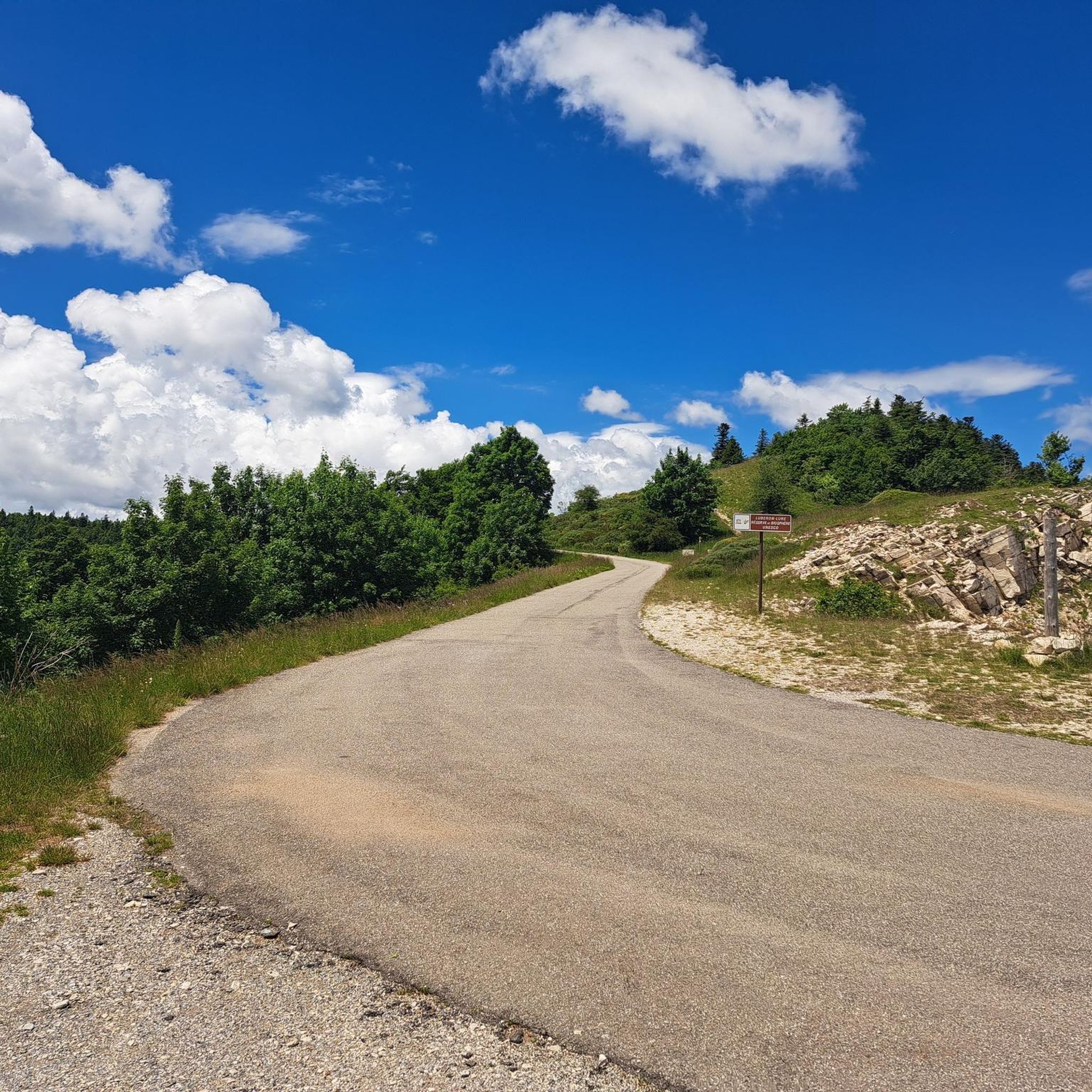
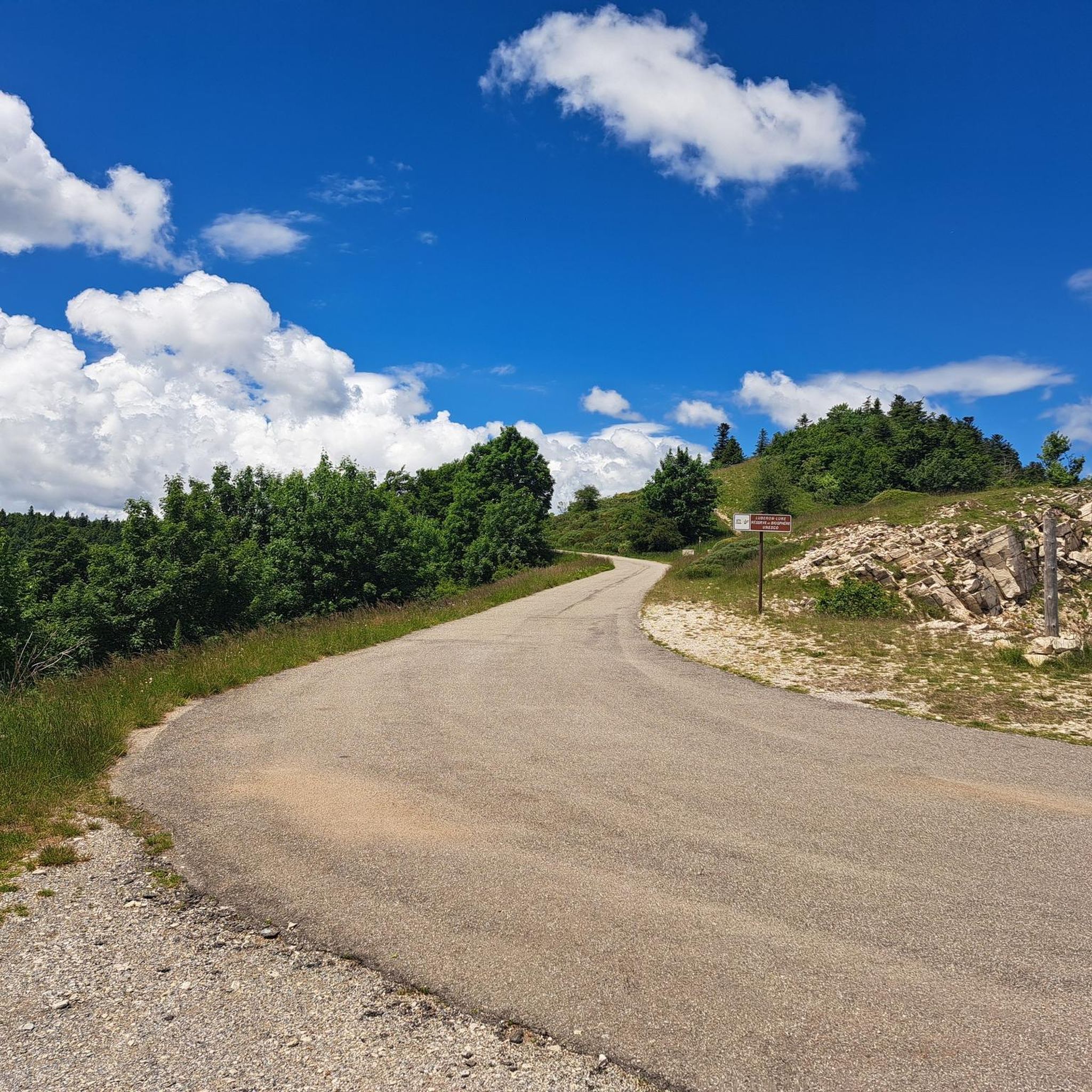
この登りは、フォーカルキエ地方、デュランス渓谷、モン・ベントゥ、アルプス山脈、プロヴァンスの雄大な景色を望む、非常に多様な景観を横断します。モンターニュ・ドゥ・リュールは17.3キロメートルの登りです。これは最高カテゴリー(HC)の登りです。フランス、プロヴァンス=アルプ=コート・ダジュール地域圏、サン=テティエンヌ=レ=オルグにあります。この登りの平均勾配は5.8%で、最大勾配は7.8%です。モンターニュ・ドゥ・リュールは、開始地点の702メートルから頂上の1,727メートルまで上昇し、総上昇量は1,025メートルです。
0
0

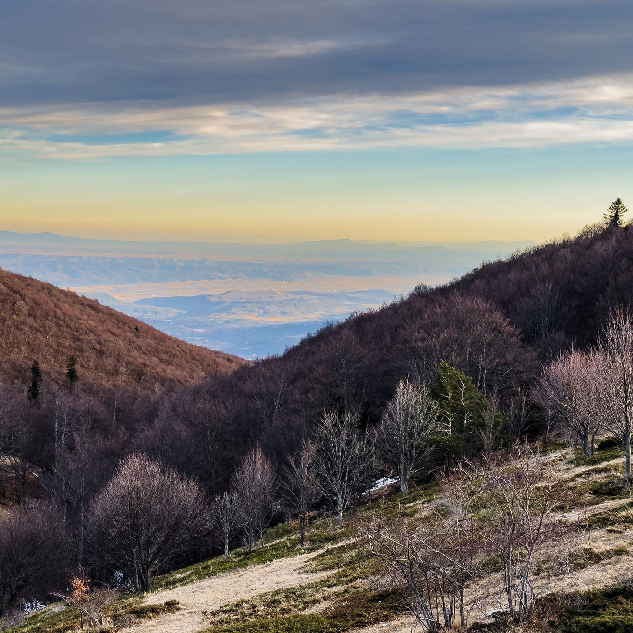
The Ventoux's little brother. With a length of 17.7 kilometres and an ascent of 1054 vertical metres and a gradient of 5.9% on average, which implies a difficulty level of 688. The summit of the climb is located at 1746 metres above sea level. At the top the views are fabulous both towards Ventoux itself and towards the Alps. A long, very pleasant and fun climb that is worth the effort with percentages that remain around 5/6/7% and some peaks of up to 9.3%. The last 2 kilometres are very easy.
2
0


Shortly before the summit you are rewarded with a wonderful view...Beautiful Ls at the very top.
1
0


The Montagne de Lure is a large mountain in the Vaucluse in the Alpes-de-Haute-Provence department of France. It belongs to the same geological formation as the Albion plateau and Mont Ventoux. This chain extends over 42 kilometers and culminates in the Lure signal at 1,825 m and presents a very contrasting relief.
2
1
クリュイでのの人気観光スポット

komootモバイルアプリでインスピレーションを得よう


さらに探索
他の地域の最高のMTBトレイルを見てみましょう。
