ジュネッツのおすすめランニングルート
4.4
(122)
6,567
ランナー
239
ランニング
ジュネッツでランニングを楽しめば、このエリアをより深く知ることができます。ランニングに適した美しいルートが見つかるように、komootがジュネッツでのルートのコレクション全体を評価して選び抜いた、人気ランニングトレイルをご紹介します。ルートをクリックして詳細を表示し、他のユーザーがアップロードした役立つ情報や写真を閲覧しましょう。
最終更新日: 10月 21, 2026
24
ランナー
17.8km
01:58
100m
100m
難しいジョギング. 標準以上のフィットネスレベルが必要です。 全般的に舗装された状態です。あらゆるスキルレベルに適しています。
15
ランナー
43.4km
05:01
400m
400m
難しいジョギング. 標準以上のフィットネスレベルが必要です。 全般的に進みやすいルートです。一部で、安定して歩行できる技術が必要です。

4.0
(1)
10
ランナー
13.1km
01:26
60m
60m
中程度のジョギング. ある程度のフィットネスレベルが必要です。 全般的に舗装された状態です。あらゆるスキルレベルに適しています。
7
ランナー
49.6km
05:33
140m
140m
難しいジョギング. 標準以上のフィットネスレベルが必要です。 全般的に進みやすいルートです。一部で、安定して歩行できる技術が必要です。
7
ランナー
4.60km
00:30
40m
40m
初級者向けランニング. あらゆるフィットネスレベルに適しています。 全般的に舗装された状態です。あらゆるスキルレベルに適しています。
さらに多くのルートや他のユーザーのおすすめ情報を確認できます。
すでにアカウントをお持ちですか?
おすすめのツアーは他のkomootユーザーが実際に経験した何千ものアクティビティに基づいています。
無料アカウントで今日から始めよう
次の冒険が待っています。

コミュニティからのヒント

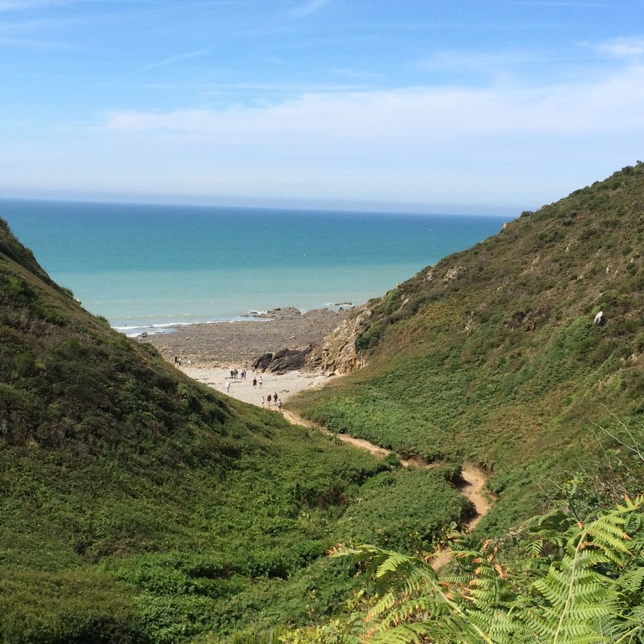
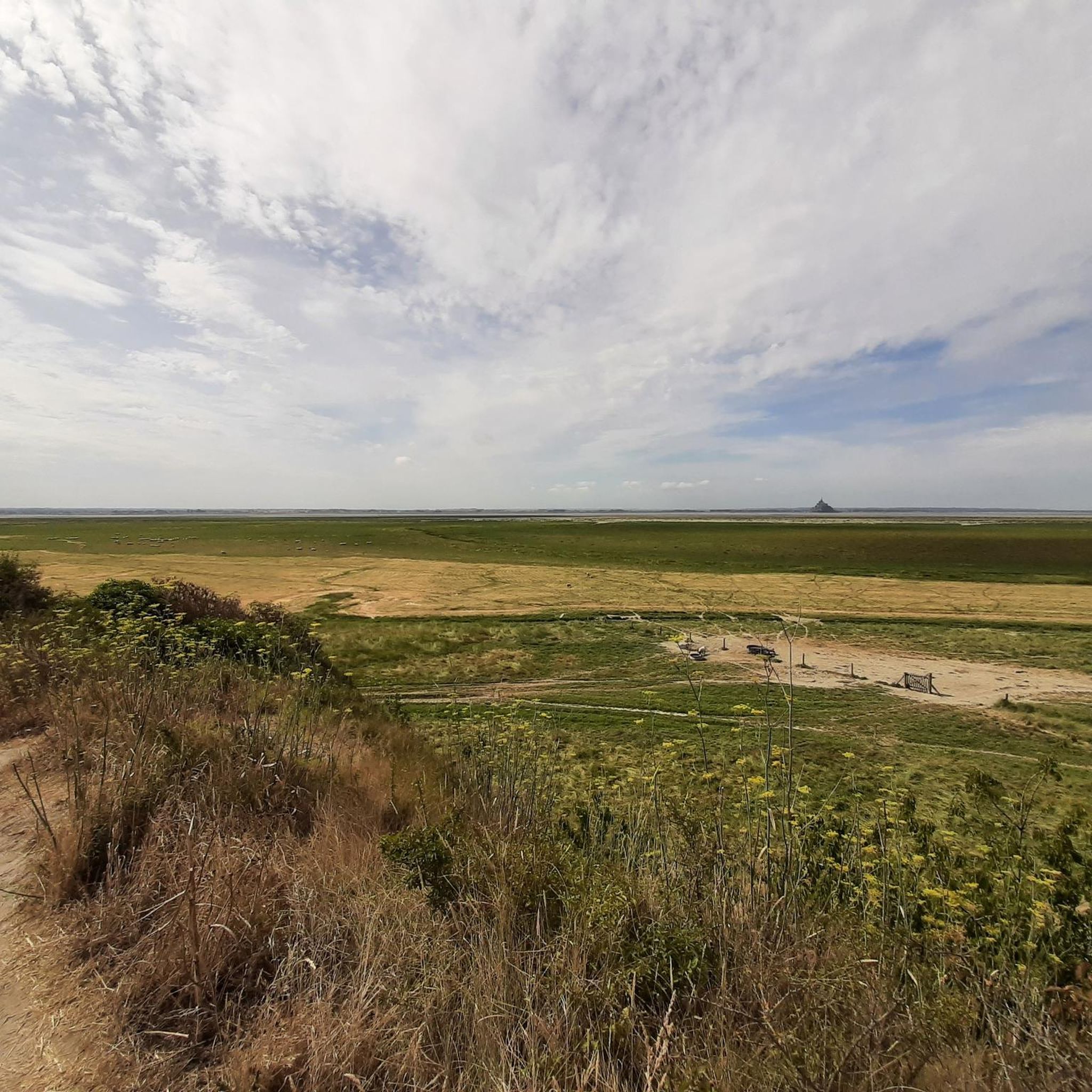
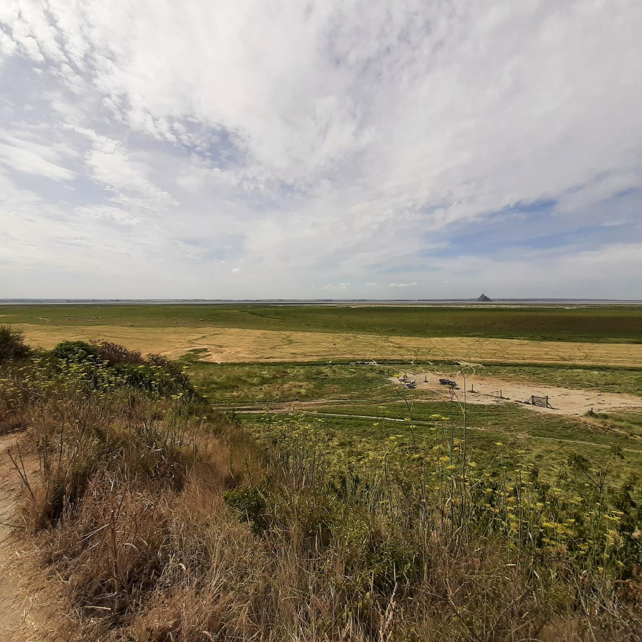
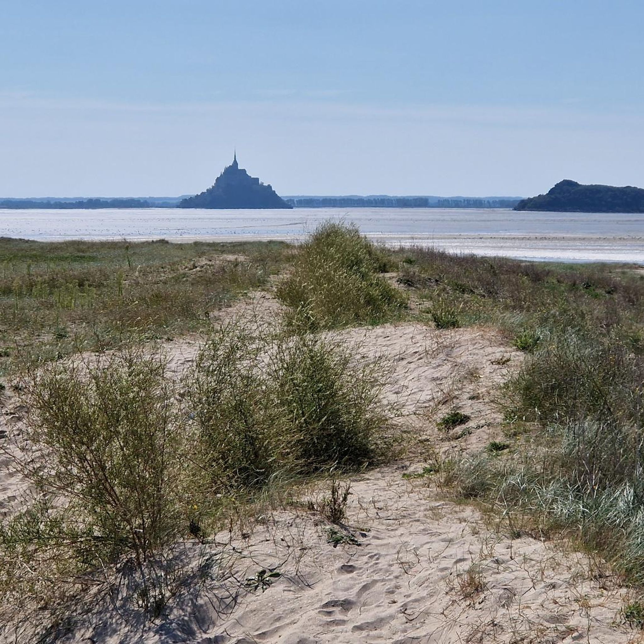
塩性湿地パス(公道へのアクセスは施錠されていないゲートを通ります)は、湾の広大な景観を通り抜け、有名なクロスターベルクをより静かな視点から体験できる特に印象的な機会を提供します。小道は、多くの水路が横切る潮汐によって形作られた塩性湿地( prés-salés)を通り抜けます。これらの小さな水路は、干潮と満潮で定期的にその外観を変え、草地や水面の反射とともに人気の写真撮影スポットを作り出しています。
34
0
Perched high above the coast of Saint-Jean-le-Thomas, with breathtaking views of the Bay of Mont Saint-Michel, stands the Cabane Vauban – a silent witness to a bygone era. This small stone hut dates back to the 17th century and was built during the reign of the great fortress builder Vauban. It once served as a watchtower, monitoring the coast and controlling smuggling.
28
0
The Cabane Vauban was built in the 17th century and is named after the famous French fortification engineer Sébastien Le Prestre de Vauban, who was responsible for the design and reinforcement of numerous coastal fortifications during the reign of Louis XIV. The hut originally served as a shelter for sentries and customs officers monitoring the coast to detect smugglers or enemy ships early. While there are several similar observation points along the Normandy coast, the Cabane Vauban near Carolles is considered the most well-known and well-preserved.
29
0
From this point, you have a panoramic view of the Bay of Mont Saint-Michel, including: 1/ Mont Saint-Michel itself in the distance, majestic on its rocky island, and 2/ the vast salt marshes ("herbus") and mudflats, which change dramatically depending on the tide.
1
0
Its origins date back to the 6th century, when the future Saint Leonard worked in the region. In 1087, William the Conqueror granted the fief of Vains to the Abbey of Saint-Étienne in Caen, which subsequently founded the priory. The building dates back to the 11th century and has been restored several times over the centuries. Today, the priory serves as a holiday accommodation.
1
0
The Grouin du Sud is a natural headland offering impressive views of the bay and the famous Klosterberg. Depending on the tide, the landscape alternates between vast mudflats and ocean views, making the place particularly charming.
1
0
The Routout farm in Saint-Léonard was acquired by the Conservatoire du Littoral in 1994 and, after extensive renovations, opened as the Maison de la Baie/Relais de Vains in 2001. In 2011, it evolved into the Écomusée de la Baie du Mont-Saint-Michel, incorporating content from the Maison de la Baie/Relais de Courtils. Link: https://ecomusee-baie.manche.fr/lecomusee/histoire-du-site/
1
0
La Roche Torin is a prominent vantage point in the Bay of Mont Saint-Michel. This spot offers a unique view of the bay and is a popular destination for hikers and photographers, especially during strong tides (coefficient over 100). The tidal coefficient is the most important indicator for assessing the dynamics of the bay. A coefficient over 100 indicates spectacular tide conditions and a natural spectacle. Here in the Bay of Mont Saint-Michel, the highest tides in Europe occur, with a tidal range of up to 15 meters between high and low tide. Tidal range Mont Saint-Michel: https://tides4fishing.com/fr/basse-normandie/le-mont-saint-michel#_tidal_coefficient
1
0
ジュネッツでのの人気観光スポット

komootモバイルアプリでインスピレーションを得よう


さらに探索
他の地域の最高のランニングトレイル & ルートを見てみましょう。
