サン・アマンダン周辺のアトラクション&必見スポット - トップ20
サン・アマンダンには必見のスポットがたくさんあります。ハイキング愛好家やサイクリング愛好家の方は、ぜひサン・アマンダンを探索してこのエリアにある20
の隠れたスポットを訪れてみてください。このエリアの必見スポットを確認し、次の冒険に出かける計画を立てましょう。
最終更新日: 8月 26, 2026
Saint-Genès-Champespe
ハイライト • 宗教的な場所
翻訳者 Google •
役立つ情報 は

Lac de la Crégut
ハイライト • 湖
翻訳者 Google •
役立つ情報 は

今すぐサインアップして、こんな場所を発見しよう
最高のシングルトラック、ピーク、その他のエキサイティングなアウトドアスポットのおすすめを受け取ろう。
無料新規登録
サン=ボネ=ド=コンダ
ハイライト • 集落
翻訳者 Google •
役立つ情報 は

コル・ド・モングルレ(1238m)
ハイライト • 山道
翻訳者 Google •
役立つ情報 は

レ・メゾン・レジスタンス・キャンプ(1944年)
ハイライト • 歴史的な場所
The site is highlighted by various commemorative and explanatory plaques.
At the end of June 1944, clashes took …
翻訳者 Google •
役立つ情報 は

無料でサインアップして、さらに多くの観光スポットを発見しましょう サン・アマンダンでの。
無料新規登録
すでにアカウントをお持ちですか?
無料アカウントで今日から始めよう
次の冒険が待っています。
ログインまたは登録
コミュニティからのヒント

Small town with church and campsite, bar unfortunately closed on Whit Monday.
0
0

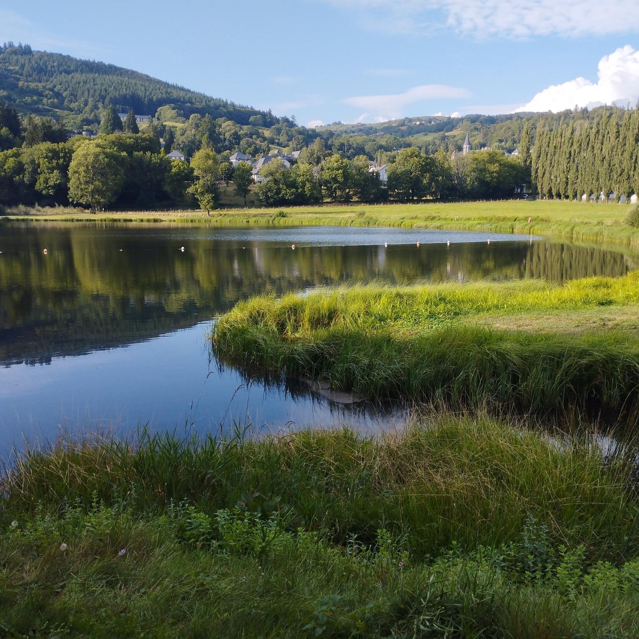
If you want to enjoy stunning views of the village of Saint-Genès-Champespe and its surroundings, you can hike up to the Saint-Sébastien church, which is perched on a hill overlooking the village. Built in 1907, the church is decorated with a bronze sculpture of a Salers cow, a local breed. From the church you can enjoy a panoramic view of the forests, lakes and mountains of the Auvergne region. You can also see Lake Laspialade and Lake Crégut, two magnificent lakes. It is an ideal place to admire the natural beauty and cultural heritage of Saint-Genès-Champespe.
3
0

Saint-Bonnet-de-Condat is a typical rural town of Cézalliers. Behind its bucolic appearance, you can observe the surprising geology that overlooks the village. In others, to the north of the town, a cliff of volcanic organs rises to the sky. Despite its hundred inhabitants, you will find a grocery store, a bar and a campsite.
0
0

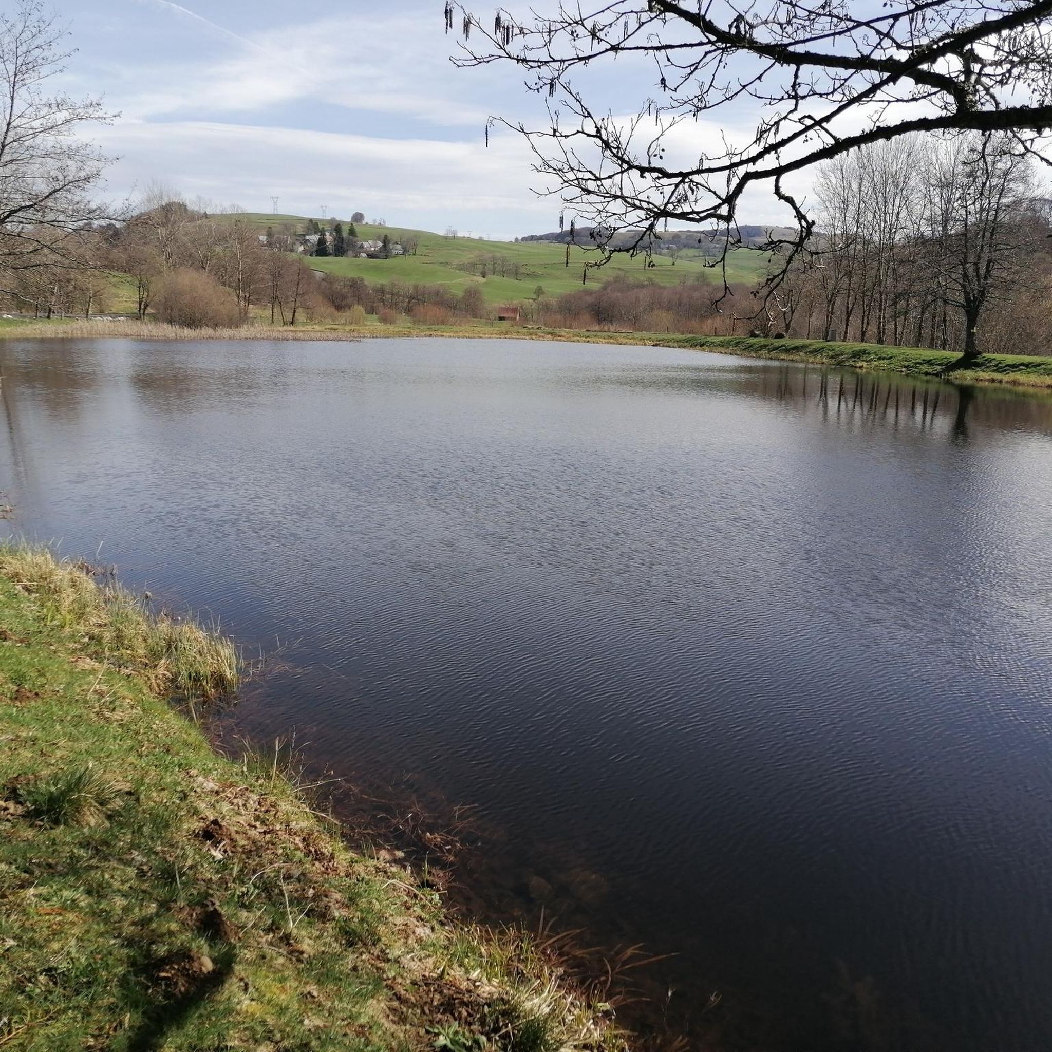
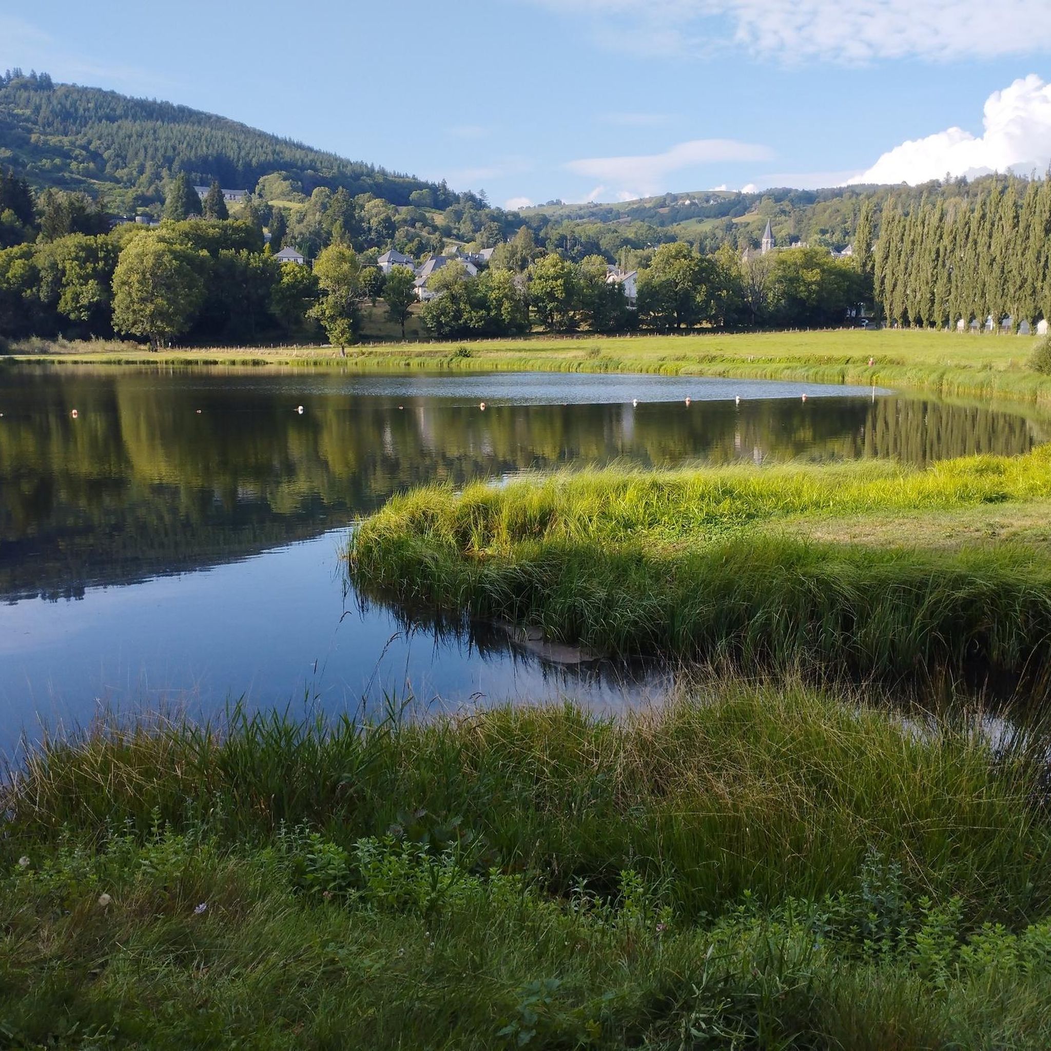
Lac de la Crégut is the largest natural lake of glacial origin in the Massif Central. From its banks, you can enjoy magnificent views of the Monts du Cantal and the surrounding lakes. It is now part of a whole system of reservoirs that supply water to the Rhue hydroelectric power station, at the Bort dam.
0
0

Small village in the heart of the Monts du Cantal, located along the Gorges de la Santoire.
2
0
These remains are those of an important resistance camp (several thousand men). The site is highlighted by various commemorative and explanatory plaques. At the end of June 1944, clashes took place throughout the sector and other plaques were affixed throughout the town for those who would like to deepen their knowledge.
2
0

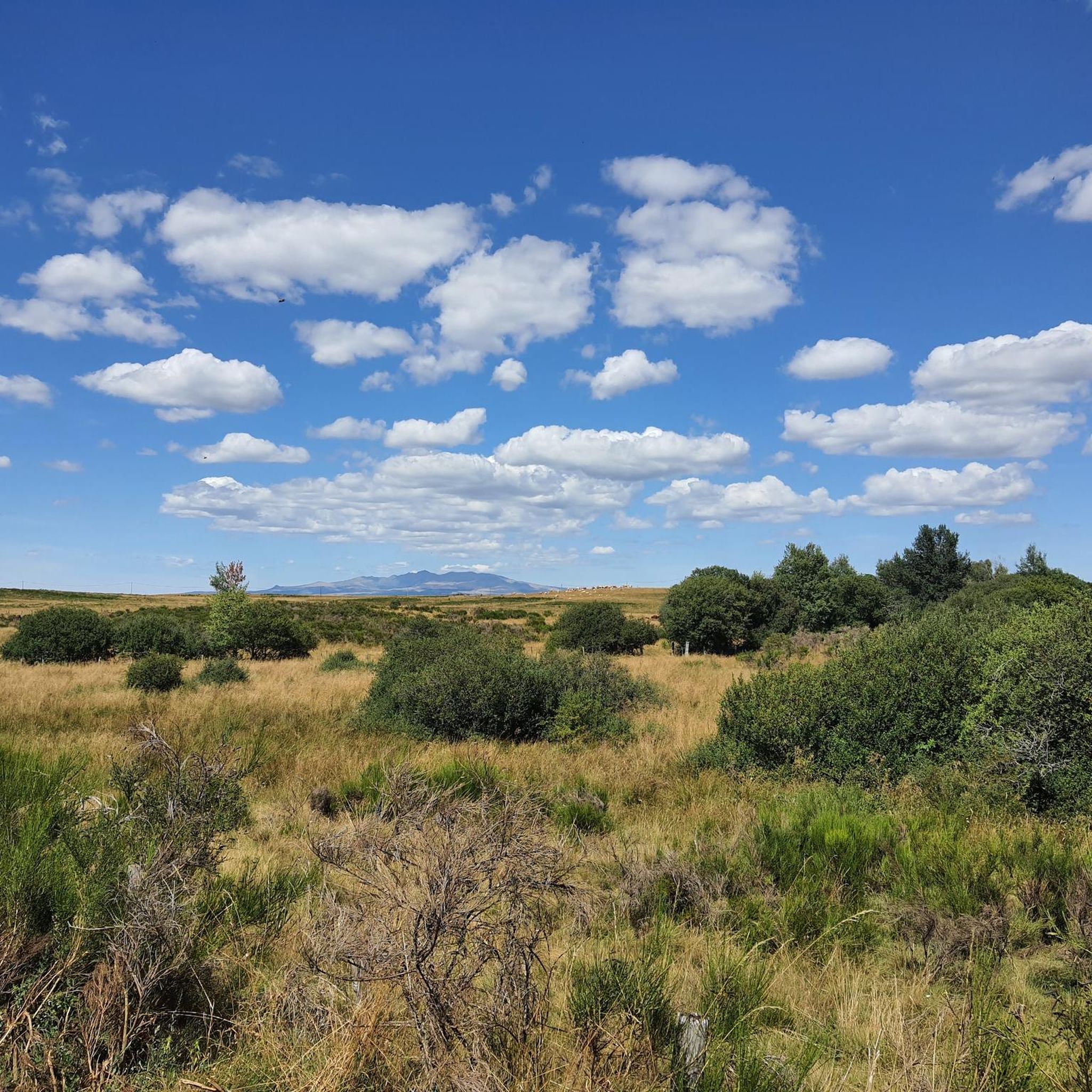
Col de Montgreleix from La Renordie is a climb located in the Cantal region. This climb is 3.9 kilometers long, for an elevation gain of 245 meters. Col de Montgreleix from La Renordie has an average gradient of 6.3%. The highest point is 1238 meters above sea level.
0
0
サン・アマンダンでのの人気観光スポット

komootモバイルアプリでインスピレーションを得よう


さらに探索
まだ探しているハイライトが見つかりませんか?他の地域のトップアトラクションのガイドを見てみましょう:
