サン・アマンのおすすめツーリングルート
4.6
(7)
183
ライダー
34
ライド
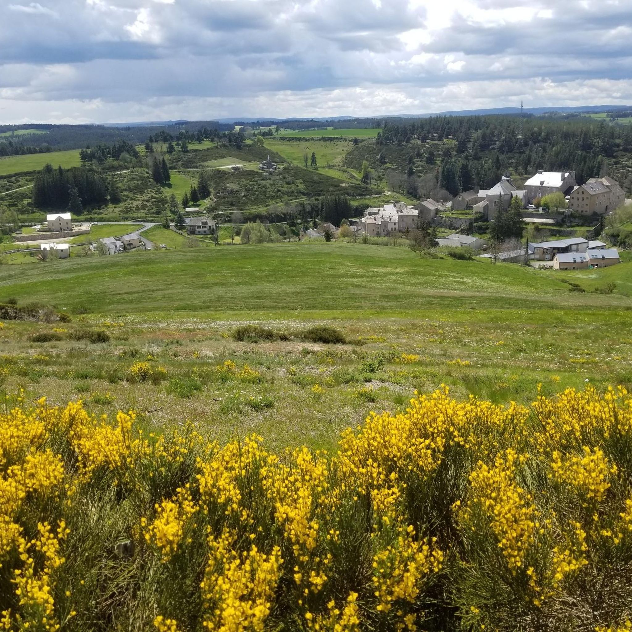
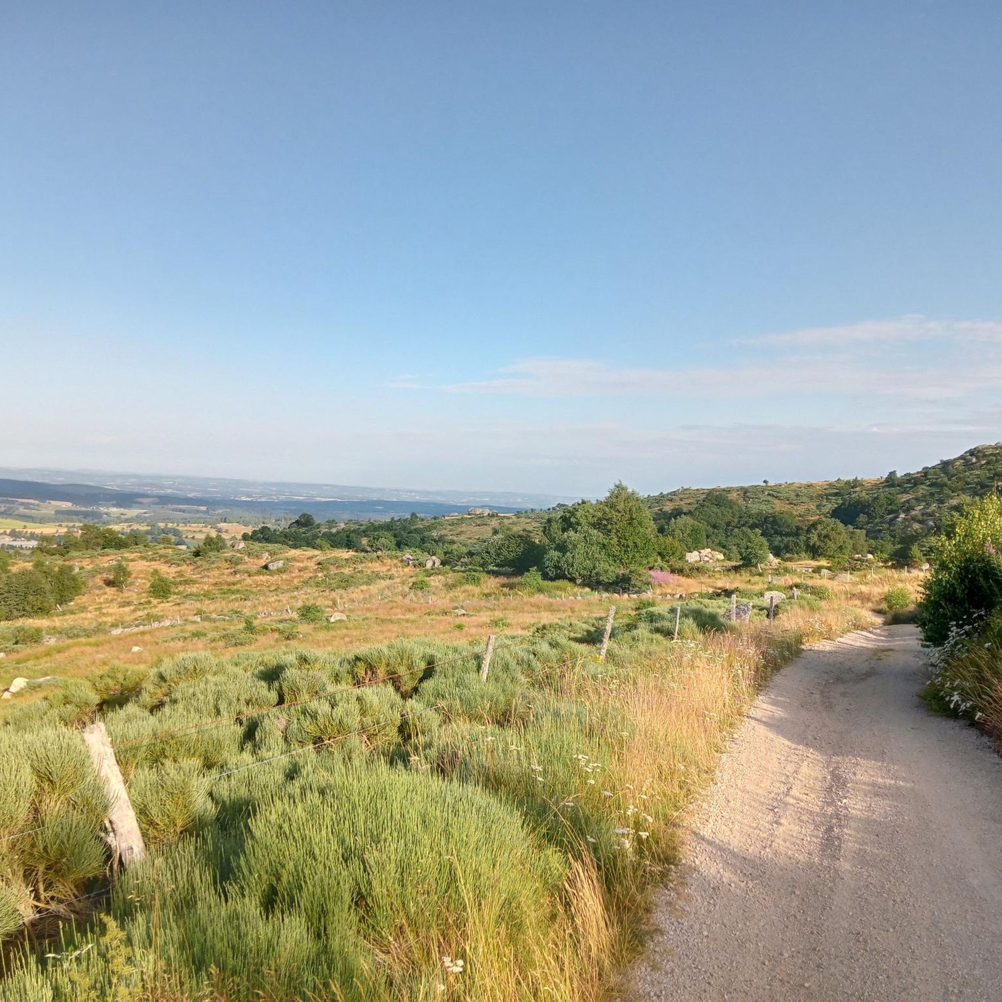
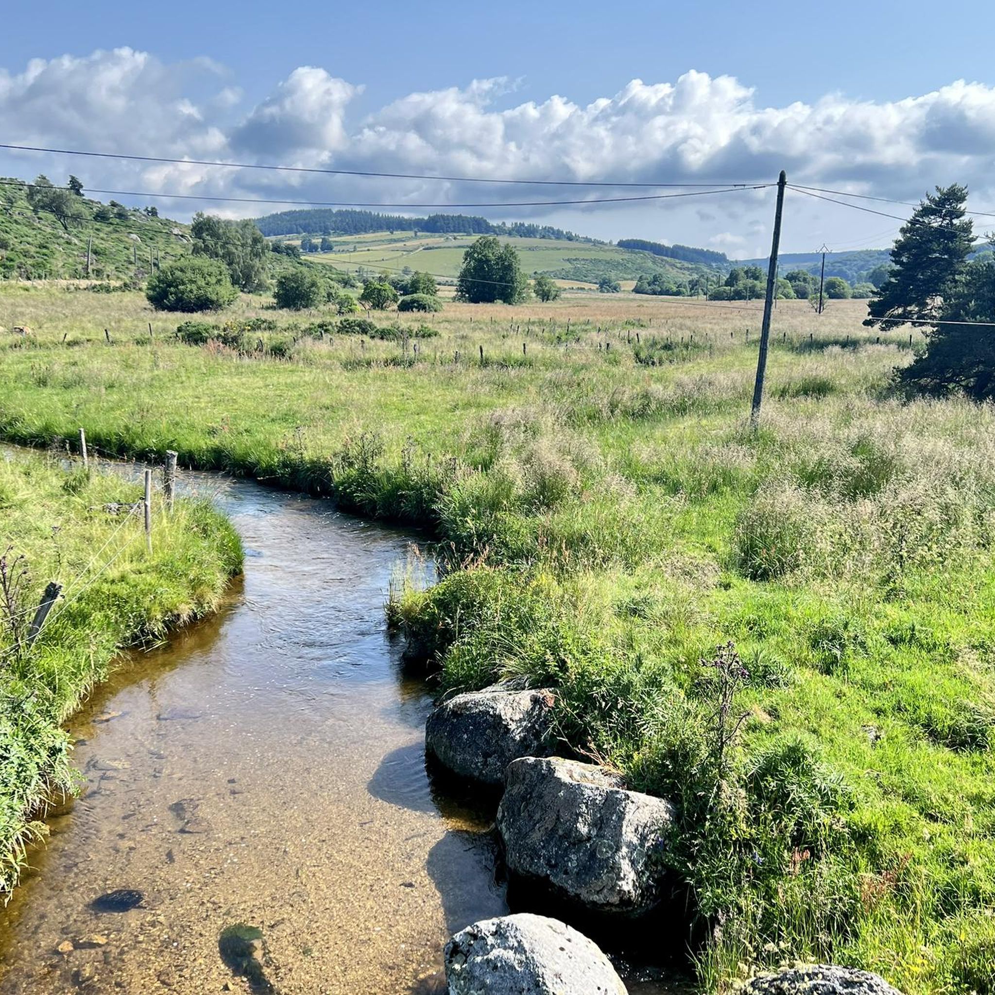
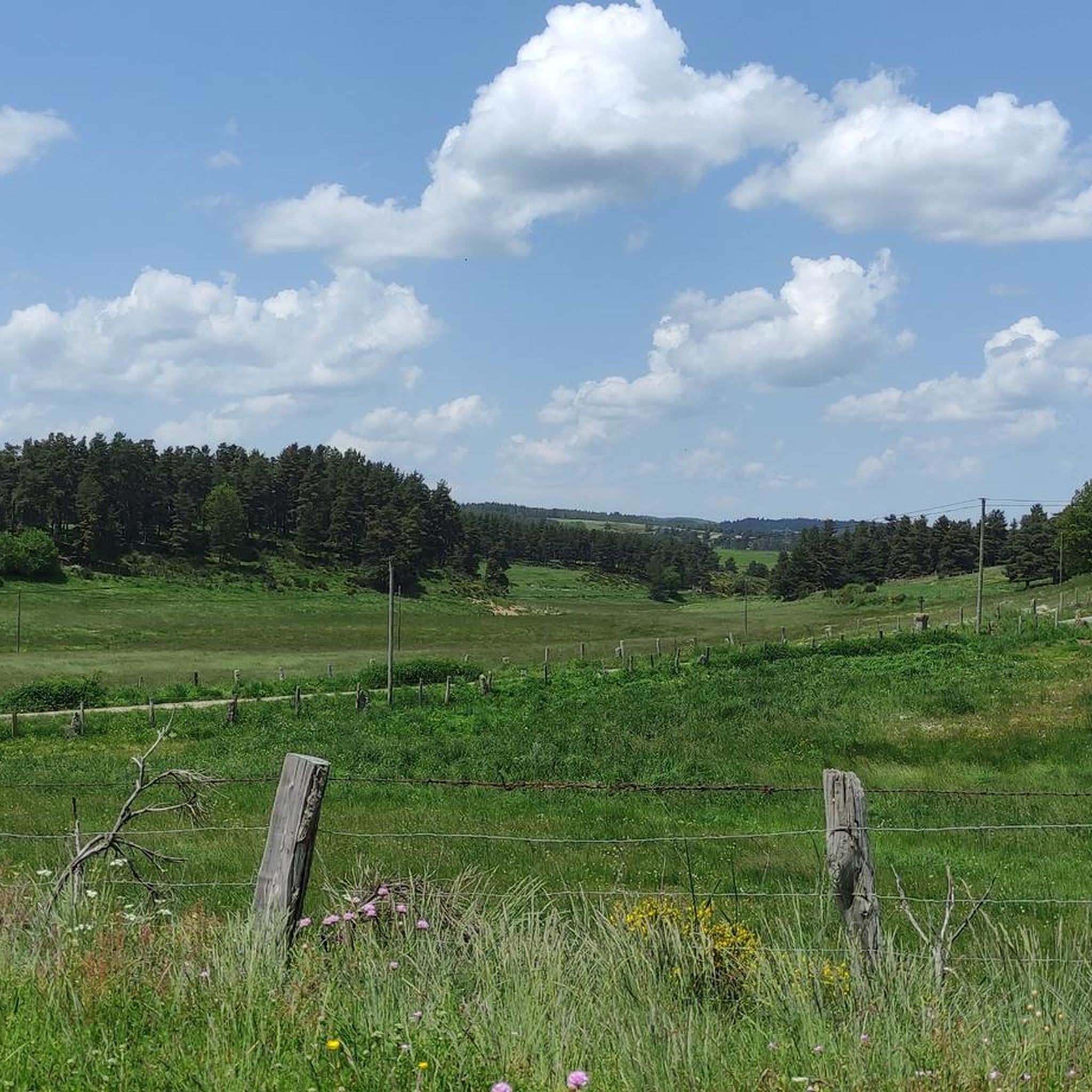
Die Radtouren um Saint-Amans befinden sich hauptsächlich im Département Lozère und zeichnen sich durch Höhenlagen zwischen 1.050 und 1.264 Metern aus. Diese Region bietet anspruchsvolles Gelände mit bemerkenswerten Anstiegen und Abfahrten, die einen Panoramablick auf die Berglandschaft ermöglichen. Das Gebiet wird durch natürliche Merkmale wie den Fluss Colagne und seine Lage in der Region Okzitanien, nahe dem Nationalpark Cevennen, definiert. Diese Routen bieten eine abwechslungsreiche Umgebung für Tourenradfahrer, die anspruchsvolle Erlebnisse suchen.
Die besten Radtouren um Saint-Amans
- Die beliebteste Radtour…
最終更新日: 8月 23, 2026
12
ライダー
46.4km
03:16
740m
740m
難しい自転車ライド. 標準以上のフィットネスレベルが必要です。 全般的に舗装された状態です。あらゆるスキルレベルに適しています。
12
ライダー
38.2km
03:40
720m
720m
難しい自転車ライド. 標準以上のフィットネスレベルが必要です。 ツアーの一部で自転車を押して歩く必要があるかもしれません。

無料新規登録
8
ライダー
32.1km
02:49
610m
610m
難しい自転車ライド. 標準以上のフィットネスレベルが必要です。 ツアーの一部で自転車を押して歩く必要があるかもしれません。
5.0
(1)
12
ライダー
難しい自転車ライド. 標準以上のフィットネスレベルが必要です。 全般的に舗装された状態です。あらゆるスキルレベルに適しています。
4.0
(1)
11
ライダー
49.0km
03:17
810m
810m
難しい自転車ライド. 標準以上のフィットネスレベルが必要です。 全般的に舗装された状態です。あらゆるスキルレベルに適しています。
さらに多くのルートや他のユーザーのおすすめ情報を確認できます。
無料新規登録
すでにアカウントをお持ちですか?
おすすめのツアーは他のkomootユーザーが実際に経験した何千ものアクティビティに基づいています。
無料アカウントで今日から始めよう
次の冒険が待っています。
ログインまたは登録

コミュニティからのヒント


The Fortunio peak is the highest point in the Margeride massif. It is therefore naturally designated as the ideal observation post for Lake Charpal.
0
0
In one of the best-preserved parts of the Margeride massif, the Three Sisters pass is said to have been named after the story of three sisters born in the parish of La Panouse, all three of whom were hired as servants in the local barracks. According to the dictionary of the rural world, these barracks refer to old inns located at the start of steep roads. This allowed the wagoners to reinforce their teams before setting off.
2
0
Unexpected and yet very present! In the middle of this wild part of the Margeride massif you will find this superb washing and repair station for your bike: compressor, all valves and tools are available free of charge, while the washing device requires a contribution (normal). Also take the opportunity to fill your water bottles thanks to the small tap on the left.
0
0

Lac de Charpal lies at an altitude of 1,360 meters amidst raised bogs, forests, and heathland. This artificial reservoir, built in the 1930s, supplies Mende with drinking water. Today, it is a tranquil retreat, popular for hiking, nature observation, and its protected flora and fauna.
0
0
Lac de Charpal lies at an altitude of 1,360 meters amidst raised bogs, forests, and heathland. This artificial reservoir, built in the 1930s, supplies Mende with drinking water. Today, it is a tranquil retreat, popular for hiking, nature observation, and its protected flora and fauna.
0
0

Very nice walk, the first part is a little difficult to access the lake because of the big difference in altitude. But the tour of the lake is very pleasant, and accessible with children (10 years old)
0
0

On the way to and along Lac de Charpal
0
0
サン・アマンでのの人気観光スポット

komootモバイルアプリでインスピレーションを得よう


さらに探索
他の地域の最高のサイクリングルートを見てみましょう。
