フォージェスのおすすめランニングルート
4.3
(9)
828
ランナー
45
ランニング
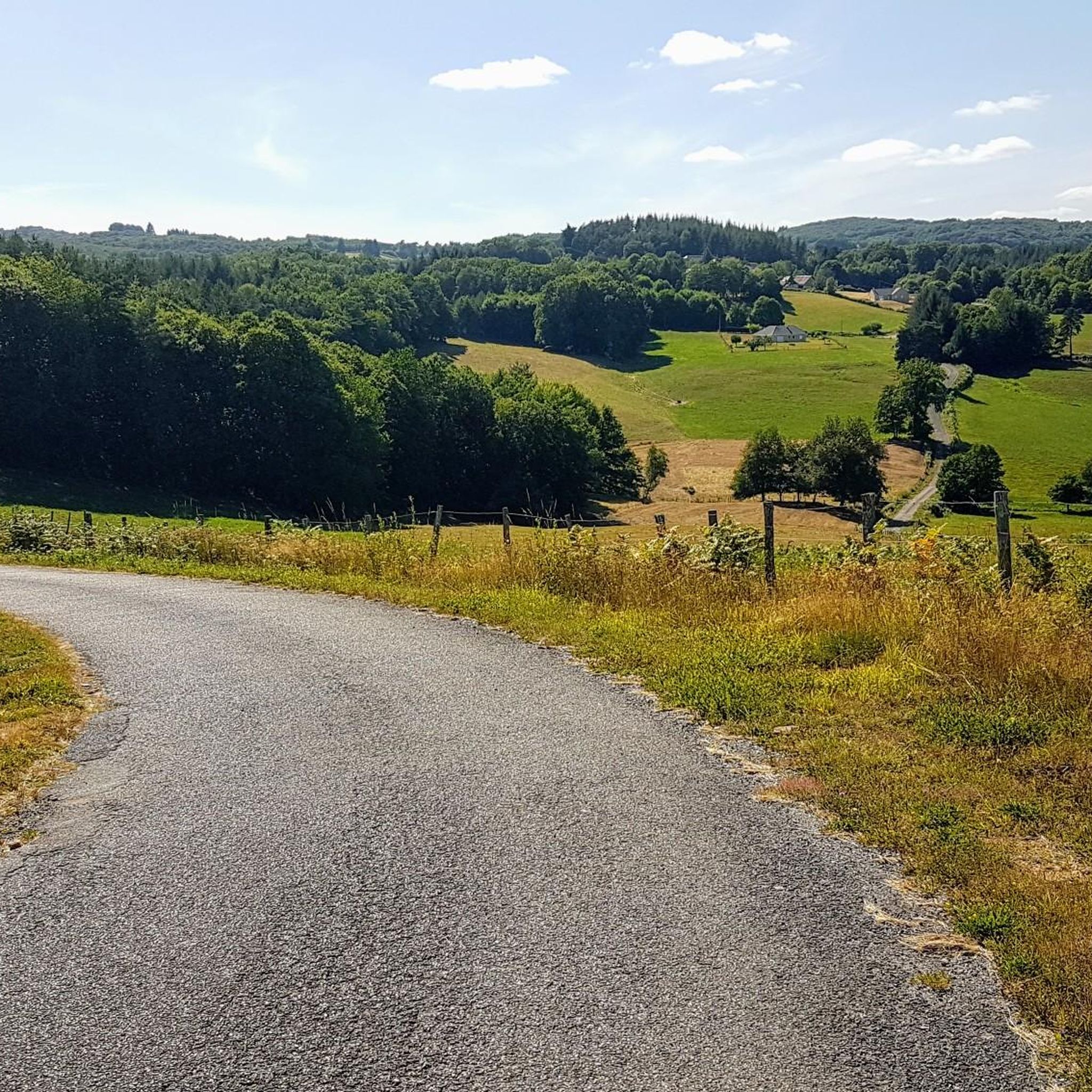
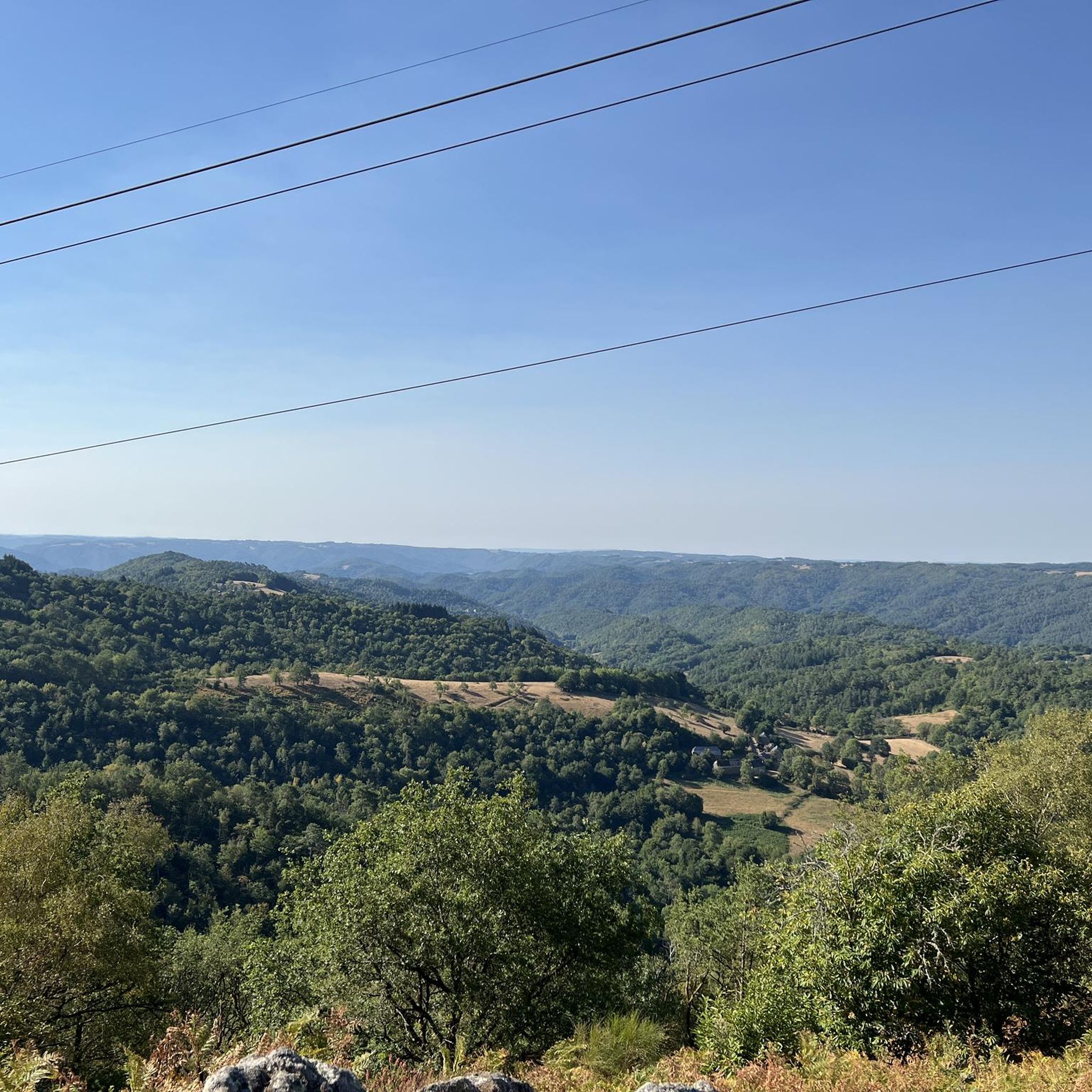
フォルジュ周辺のジョギングルートは、地形のミックスを特徴とする、ランナーにとって多様な景観を提供します。この地域は主に森林と牧草地で構成される自然地域で、標高は207メートルから455メートルまで変化します。これにより、大きな標高差のあるトレイルと平坦なセクションの両方が提供され、さまざまなランニングの好みに適しており、挑戦的なワークアウトと景色の良いランの両方を提供します。
フォルジュ周辺の最高のジョギングルート
- 最も人気のあるジョギングルートは、ワイン生産者の道 – アルジャンタからのアルジャンタループで、所要時間3時間20分の15.6マイル(25.1 km)のトレイルです。このルートはかなりの標高上昇があり、経験豊富なランナーにとって挑戦的な選択肢となります。
- 地元のランナーに人気のもう一つのルートは、アルジャンタからのアルジャンタループで、難易度の高い10.8マイル(17.5 km)のパスです。このトレイルはかなりの登りと下りがあり、やりがいのあるランニングのために多様な地形を提供します。
- 地元のランナーに愛されているのは、アルビュサックからのカスケードループで、4.4マイル(7.1 km)のトレイルはさまざまな景観を通り抜け、所要時間は約53分です。
- フォルジュ周辺のジョギングは、標高の変化、自然のトレイル、さまざまな距離のオプションによって定義されます。このネットワークは、簡単なループから難しい長距離トレイルまで、さまざまなスキルレベルのオプションを提供します。
- フォルジュのルートは、7件以上のレビューから平均4.2つ星の評価を得ており、komootコミュニティから高く評価されています。700人以上のランナーがkomootを使用して、フォルジュの多様な地形を探索しました。
最終更新日: 9月 21, 2026
102
ランナー
17.4km
02:08
420m
420m
難しいジョギング. 標準以上のフィットネスレベルが必要です。 全般的に舗装された状態です。あらゆるスキルレベルに適しています。
50
ランナー
26.2km
03:28
850m
850m
難しいジョギング. 標準以上のフィットネスレベルが必要です。 全般的に舗装された状態です。あらゆるスキルレベルに適しています。

25
ランナー
8.26km
00:54
90m
90m
中程度のジョギング. ある程度のフィットネスレベルが必要です。 全般的に舗装された状態です。あらゆるスキルレベルに適しています。
22
ランナー
7.15km
00:53
160m
160m
中程度のジョギング. ある程度のフィットネスレベルが必要です。 全般的に舗装された状態です。あらゆるスキルレベルに適しています。
16
ランナー
11.6km
01:23
250m
250m
中程度のジョギング. ある程度のフィットネスレベルが必要です。 全般的に舗装された状態です。あらゆるスキルレベルに適しています。
さらに多くのルートや他のユーザーのおすすめ情報を確認できます。
すでにアカウントをお持ちですか?
おすすめのツアーは他のkomootユーザーが実際に経験した何千ものアクティビティに基づいています。
無料アカウントで今日から始めよう
次の冒険が待っています。

コミュニティからのヒント

このハイキングは、簡単とされていますが、岩の鋭い性質により、不安定で潜在的に危険な岩場の区間があり、崖沿いの狭く露出したセクションがあります。専門的なハイキング用具(例:サロモンシューズ)を使用しても、固有のリスクがあるため、お子様連れの家族には一部の区間をお勧めしません。 滝は壮大で、プラド滝の上流にある運河は快適で歩きやすい場所を提供しています。しかし、ポルト・デュ・ディアブルとミュレル滝への下りは、非常に危険な区間を含んでおり、細心の注意が必要です。4kmのコースを完走するには、約2時間30分から2時間45分を見込む必要があります。 この場所は視覚的に印象的ですが、このハイキングには、13〜14%の傾斜があり、特別な設備のない不安定な区間が含まれています。 駐車場は小さいため(約10〜12台)、確保するには早朝に到着することをお勧めします。
0
0

A beautiful hike. The waterfalls are magnificent.
1
0

Why Visit the Devil’s Gate? For its spectacular landscape: The unique rock formation and imposing cliffs provide an impressive setting for geology and nature lovers. For its mystical aura: The legend of the Devil’s Gate gives the place a mysterious dimension that fascinates visitors. For hiking and exploration: The site is ideal for walks and hikes, offering magnificent views of the surrounding nature and total immersion in the Cère gorges. The Devil’s Gate is a must-see site for lovers of nature, legends and outdoor adventures. Its unique landscape and mystical atmosphere make it a captivating destination in Corrèze.
1
0
The Devil's Gate is a fascinating natural site located in Corrèze, more precisely in the Gorges de la Cère, near the village of Saint-Julien-aux-Bois. This mysterious place is surrounded by legends and is distinguished by its spectacular rock formations which have earned it its evocative name. Points of Interest of the Devil's Gate: Impressive Geological Formation: Sheer Rocks: The Devil's Gate is characterized by imposing cliffs of volcanic rocks which seem to form a sort of natural passage, hence the name "gate". The site is the result of erosion and tectonic activity, creating a wild and dramatic landscape. Gorges de la Cère: This site is part of the Gorges de la Cère, a place renowned for its steep landscapes and waterfalls, offering a breathtaking natural setting. Legends and Mystery: The Legend of the Devil: According to local legend, the Devil's Gate was created by Satan himself, seeking to defy nature. It is said that he struck the rock to open a passage and leave his mark. This legend contributes to the mysterious aura of the place. Mystical atmosphere: The place, with its dark cliffs and strange shapes, is often perceived as a place of strength and mystery, attracting the curious and lovers of fantastic stories. Hiking and Nature: Hiking around the site: The Devil's Gate is accessible via several hiking trails that allow you to discover the surroundings while enjoying the impressive views of the Cère gorges. The trails are suitable for different levels of walking. Nature observation: The region is rich in fauna and flora, with a varied biodiversity that attracts nature lovers. The surrounding forests and the proximity of the river add to the beauty of the place. Access to other Natural Sites: Waterfalls and viewpoints: Not far from the Devil's Gate, other natural attractions, such as waterfalls and viewpoints, offer magnificent panoramas of the valley and the surrounding gorges. Outdoor exploration: This site is ideal for those looking for an outdoor experience, with the possibility of combining the visit with other activities such as fishing or climbing.
1
0
Why Visit the Murel Waterfalls? For their natural beauty: The waterfalls offer an impressive visual spectacle and are surrounded by a preserved natural setting, ideal for a total immersion in nature. For hiking: The trails allow a beautiful discovery of the three waterfalls, while offering magnificent views of the surrounding forest. To relax: Whether for a family walk, a moment of calm by the water or a refreshing swim, the Murel Waterfalls are perfect for an outdoor getaway. The Murel Waterfalls are a true natural treasure of Corrèze, ideal for lovers of wild landscapes, hikers and those looking for a peaceful place to recharge their batteries in the heart of nature.
1
0
The Cascades de Murel, located in Corrèze near the village of Albussac, are a magnificent set of three waterfalls nestled in the heart of a green forest. These waterfalls, formed by the Franche Valeine stream, offer an exceptional natural spectacle and are a popular place for nature lovers and hikers. Points of Interest of the Cascades de Murel: Three Imposing Waterfalls: Upper Waterfall: The first of the three waterfalls is the highest, with an impressive waterfall that plunges into a natural pool. It is a magnificent place to stop and admire the power of the water. Intermediate Waterfall: Smaller but just as charming, the second waterfall is located a little further downstream and offers a more intimate atmosphere, with rocks and dense vegetation surrounding it. Lower Waterfall: The final, wider waterfall cascades down a steep rock face and forms another pool perfect for relaxing by the water. Hiking Trails: Easy Access: A well-marked trail allows visitors to discover the three waterfalls in a pleasant walk of about 2 to 3 kilometers. This circuit allows you to immerse yourself in nature, through a dense forest, while following the stream. Hiking for All: The route is suitable for different levels of walking, with some steeper passages, but nothing too difficult, making it an accessible hike for families and casual hikers. Preserved Nature: Wild and peaceful setting: The waterfalls are surrounded by lush vegetation, offering a peaceful setting where birdsong and the soothing sound of the waterfalls reign. Biodiversity is rich, with a variety of plants and animals specific to wet environments. Wildlife watching: Along the way, you can observe different species of birds, as well as aquatic plants that flourish around the waterfalls. Outdoor activities: Swimming: In summer, the natural pools formed by the waterfalls are perfect places to cool off. The clear, cool waters are very popular with visitors, although swimming should be done with caution. Picnic: The place is also ideal for a picnic in the middle of nature, with many shaded places to settle down and enjoy the calm surroundings.
2
0

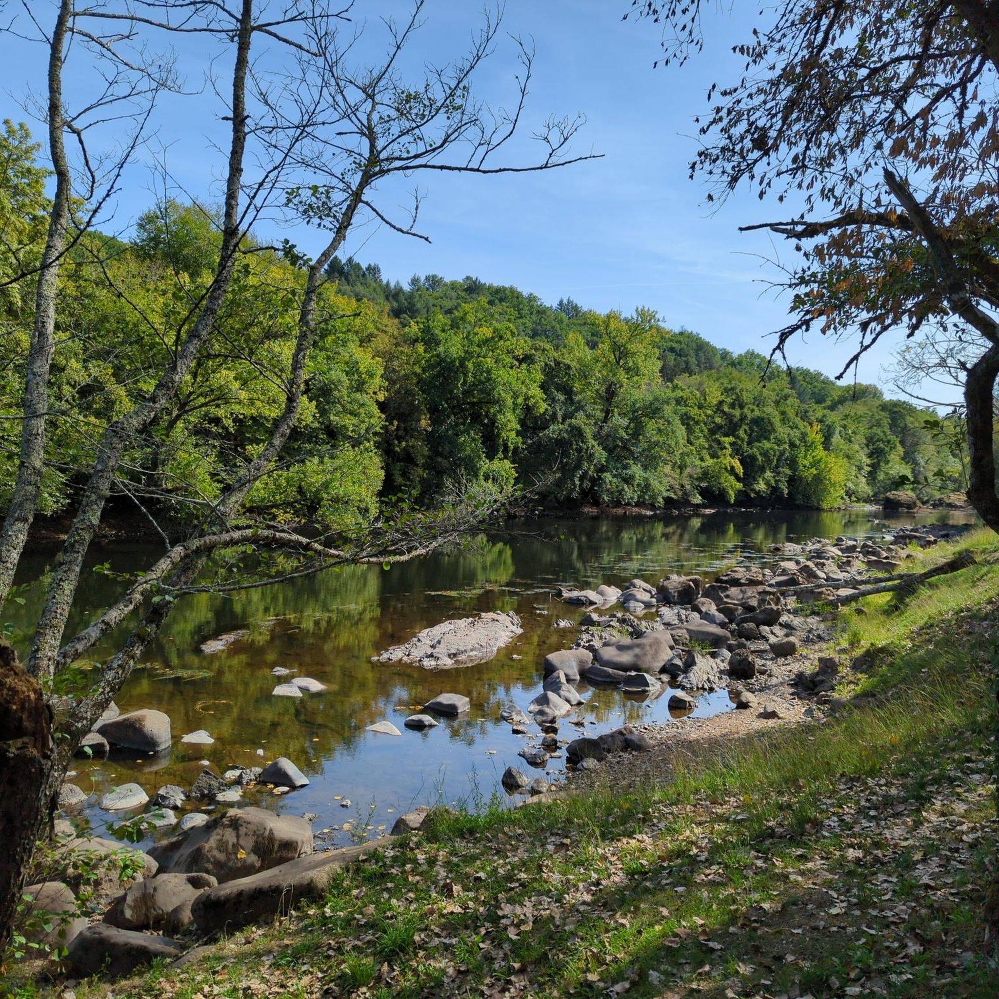
Along the Dordogne, the landscapes offer us a beautiful diversity between dams and villages.
0
0

This superb town, located on the edge of the Dordogne, is worth a stop. It has been known since the Gallic era. The place was strategic and has remained so throughout history. The town controlled the access linking Armorica to the Mediterranean Sea. This situation made it a place where wealth circulated. It was in the 18th and 19th centuries that its economic growth increased thanks to the use of barges, these flat-bottomed boats that could navigate shallow waterways.
1
0
フォージェスでのの人気観光スポット

komootモバイルアプリでインスピレーションを得よう


さらに探索
他の地域の最高のランニングトレイル & ルートを見てみましょう。
