ルミオのおすすめライド
4.7
(584)
10,038
ライダー
10
ライド
ルミオ周辺のロードバイクルートをお探しですか?ここでは、komootが提供するルミオでのロードバイクライドのコレクション全体を評価して選び抜いた人気ルートをご紹介します。各ライドの詳細をぜひご覧ください。
最終更新日: 10月 25, 2026
4.6
(44)
545
ライダー
68.1km
03:31
1,220m
1,220m
難しいロードライド. 標準以上のフィットネスレベルが必要です。 全般的に舗装状態が良好で走行しやすい道です。
4.6
(19)
235
ライダー
57.2km
02:59
980m
980m
難しいロードライド. 標準以上のフィットネスレベルが必要です。 全般的に舗装状態が良好で走行しやすい道です。

4.9
(22)
236
ライダー
59.7km
03:08
1,120m
1,120m
難しいロードライド. 標準以上のフィットネスレベルが必要です。 全般的に舗装状態が良好で走行しやすい道です。
4.4
(5)
69
ライダー
25.1km
01:21
460m
460m
中程度のロードライド. ある程度のフィットネスレベルが必要です。 全般的に舗装状態が良好で走行しやすい道です。
5.0
(2)
72
ライダー
76.4km
03:57
1,310m
1,310m
難しいロードライド. 標準以上のフィットネスレベルが必要です。 ツアーの一部に、未舗装のため走行が難しい箇所があるかもしれません。
さらに多くのルートや他のユーザーのおすすめ情報を確認できます。
すでにアカウントをお持ちですか?
おすすめのツアーは他のkomootユーザーが実際に経験した何千ものアクティビティに基づいています。
無料アカウントで今日から始めよう
次の冒険が待っています。


コミュニティからのヒント

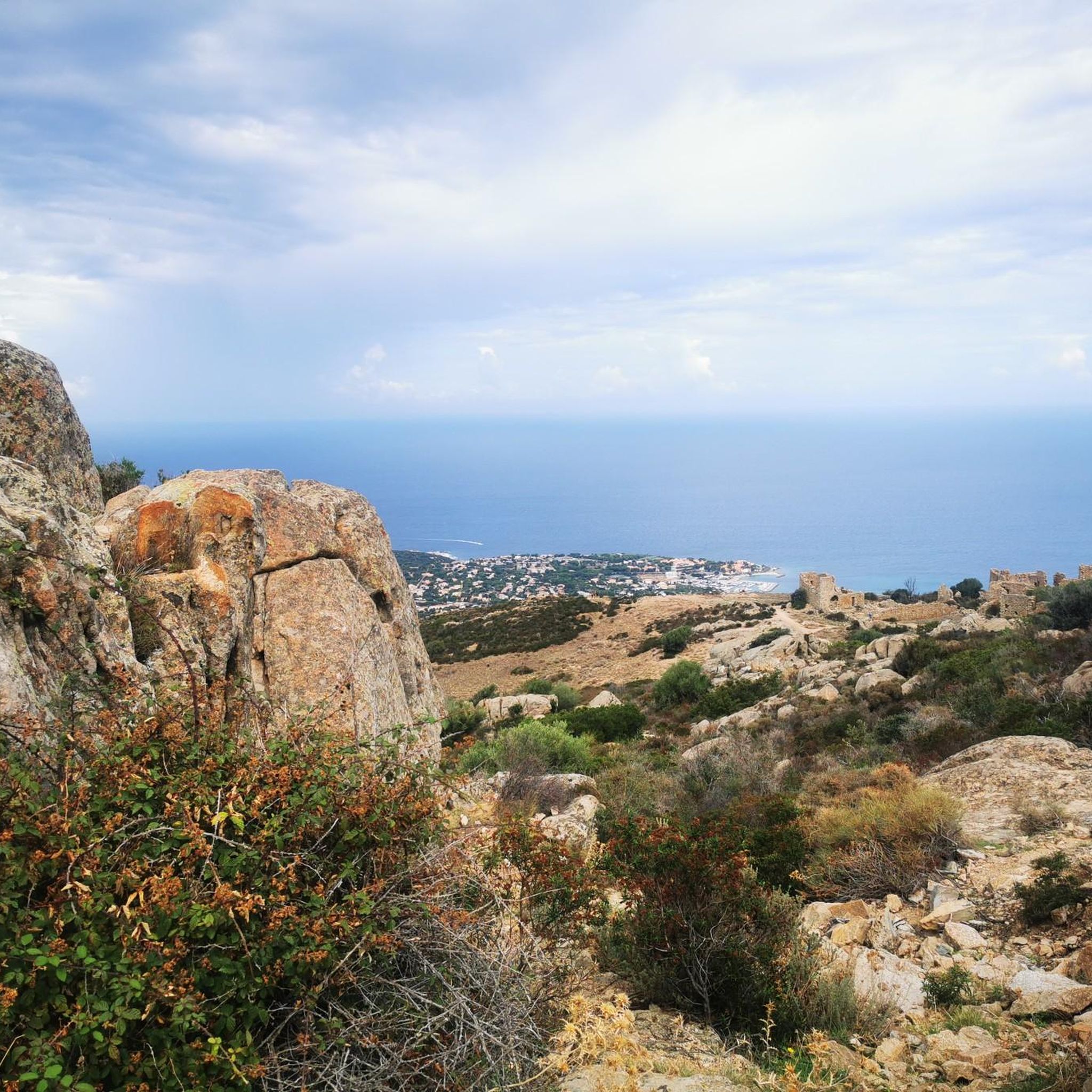
Calvi is a beautiful seaside town, bathed by turquoise waters and steeped in history. I recommend strolling through the narrow streets of the Citadel, built in 1483 by the Genoese, and then heading to the port. The view of the bay, overlooked by high mountains, including Mount Cinto (2,706 m), Corsica's highest peak, is impressive.
0
0

The church, located in the middle of a cemetery, was built in the 11th century in the Pisan-Romanesque style. It is considered one of the most beautiful churches in Corsica. It was recently extensively renovated with funds from the EU and the Corsican regional association.
0
0


Little is known about early settlement, but Phoenicians, Greeks and Etruscans already had settlements in the area of today's Calvi. The Romans built a settlement called Sinus Caesiae (possibly also Sinus Casalus) in the area of the lower town, from which the current name Calvi is said to derive; another source refers the place name of Calvi to the Latin word "calvus", which means "bald" and in this respect the name goes back to the originally bare, uncultivated and uninhabited rock on which a citadel was later built.
0
0
The municipalities of Lunghignano and Montemaggiore merged in 1972 to form the municipality of Saint-Rainier-de-Balagne. Saint-Rainier-de-Balagne was merged with Cassano on 1 January 1973 to form the municipality of Montegrosso, named after the Monte Grosso mountain range.
1
0
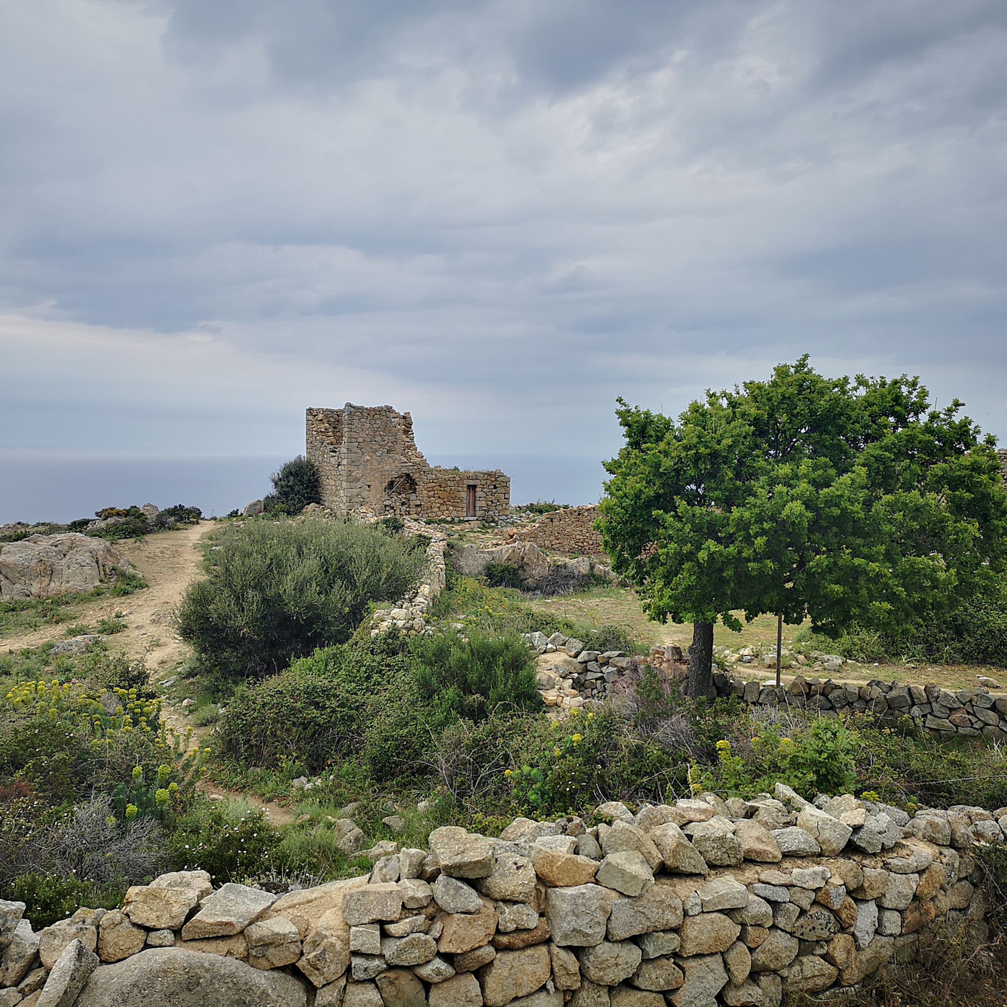
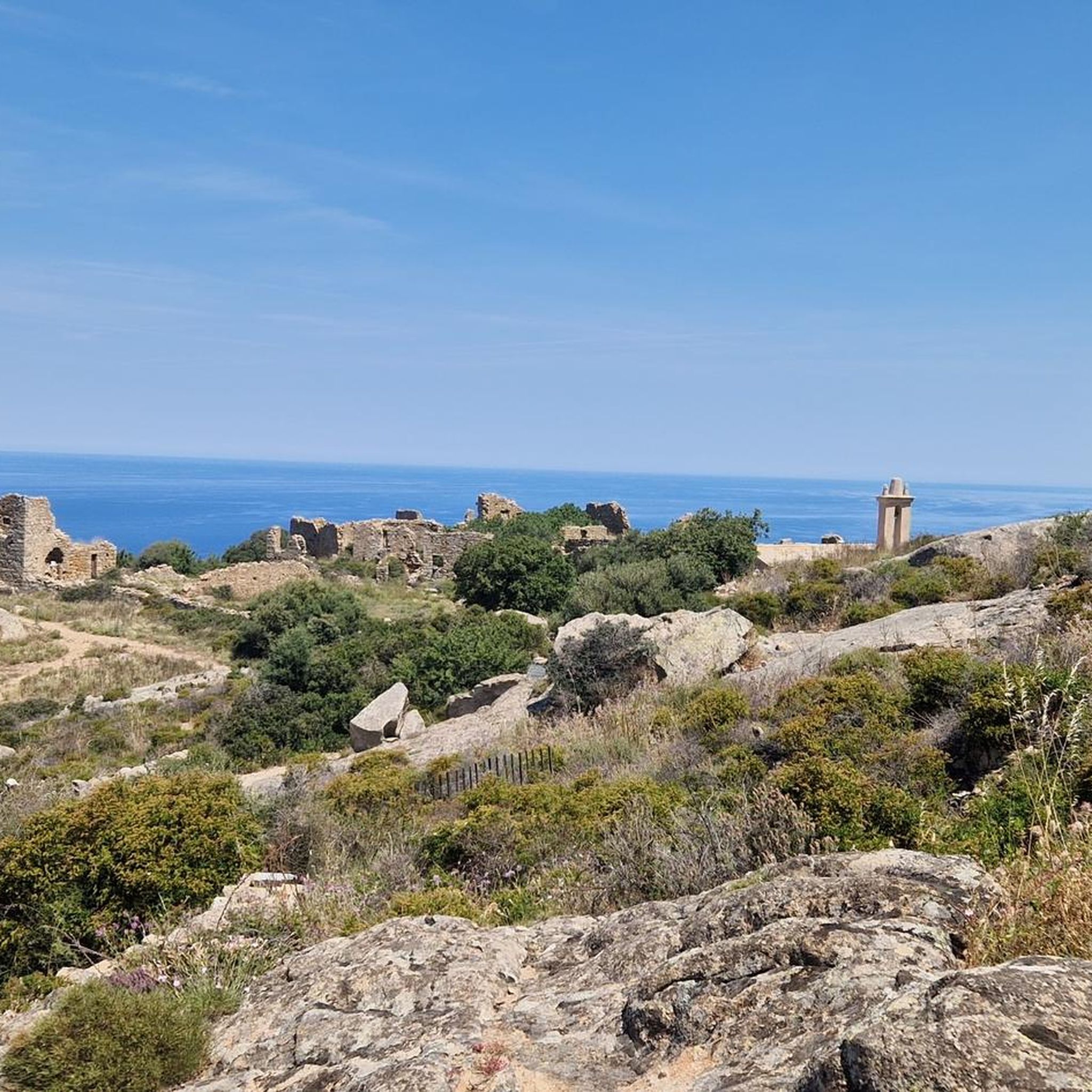
Montegrosso consists of the villages of Montemaggiore/Montemaiò as the main town (381 m), Cassano/Cassani (300 m) and Lunghignano/Lunghignani (340 m). The municipality is located at about 400 meters above sea level and borders Lavatoggio to the north, Cateri and Avapessa to the northeast, Muro to the east, Zilia to the southeast, Calenzana to the southwest, Calvi to the west and Lumio to the northwest.
1
0

komootモバイルアプリでインスピレーションを得よう


さらに探索
他の地域の最高のロードサイクリングルートを見てみましょう。
