ルート

プランナー

機能

アップデート

App

ログインまたはサインアップ

アプリを入手

ログインまたはサインアップ

ルート
Places to see
Mountain passes
フランス
オーヴェルニュローヌアルペス
Villefranche-Sur-Saône

サン・ローラン・ド・オワン

サン・ローラン・ド・オワンの峠・トップ14

風景を楽しんだり、上りや下りを満喫したり、峠には楽しみ方がたくさんあります。サン・ローラン・ド・オワンの素晴らしい峠の一覧を参照して、思い出に残るアドベンチャーに出かけましょう。コミュニティのメンバーがコミュニティのために投稿した峠のハイライトは、他のユーザーが実際におすすめする情報なので、どれも信頼できるものです。気に入った峠にさっそく向かってみましょう。

最終更新日: 7月 23, 2026

コル・ド・サンボネ

ハイライト • 山道

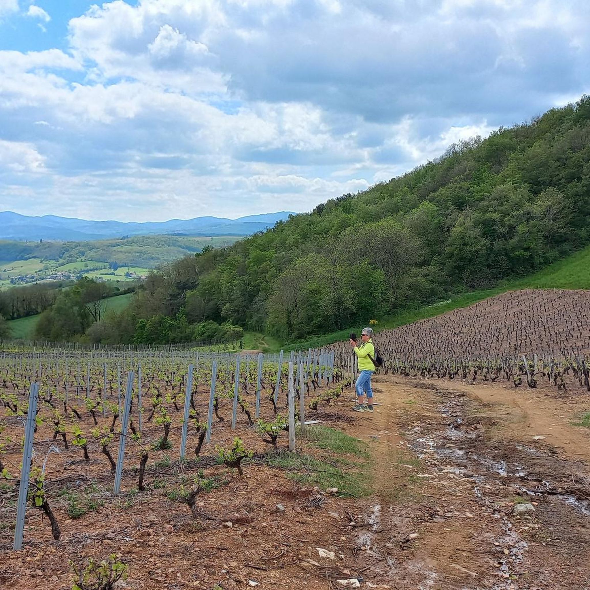
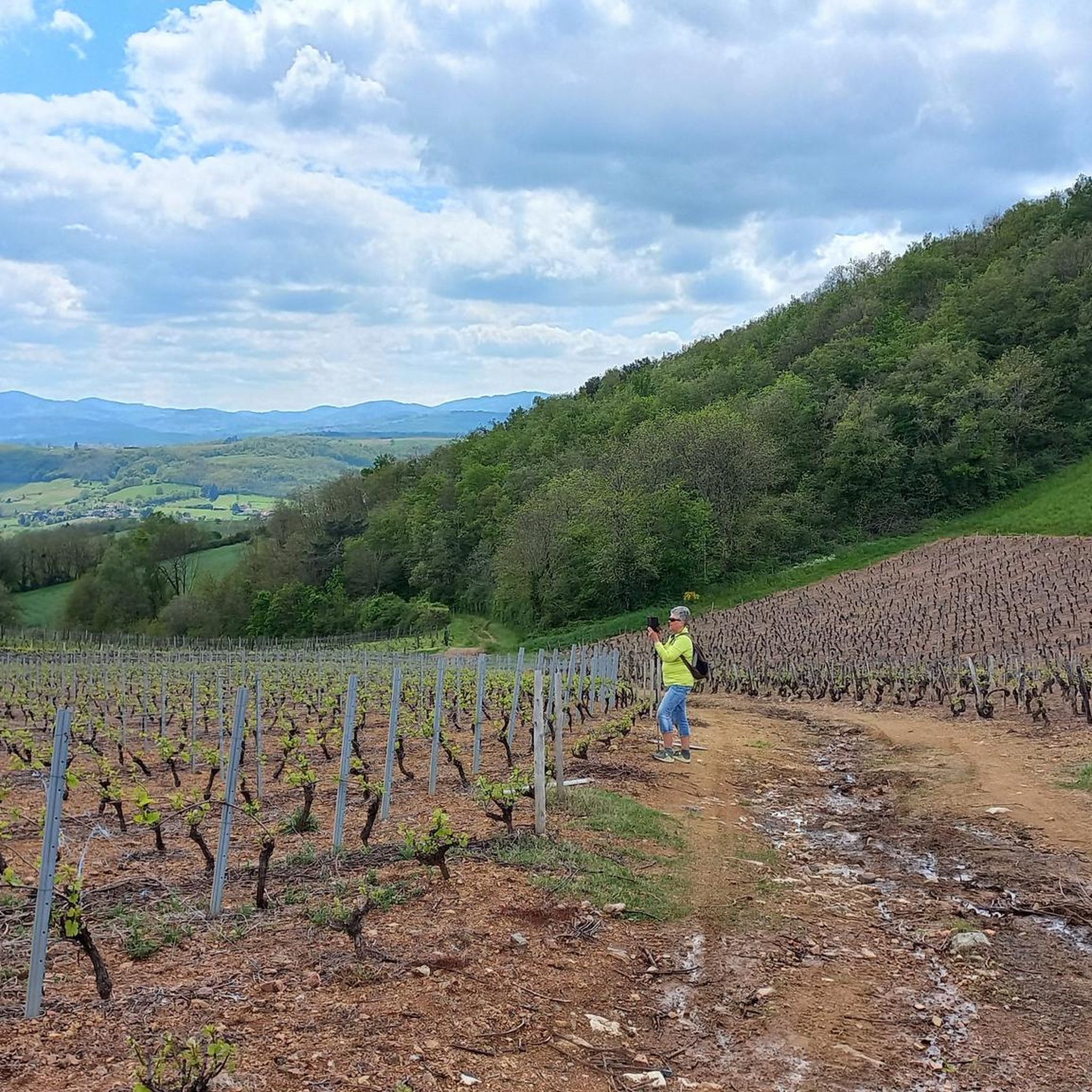
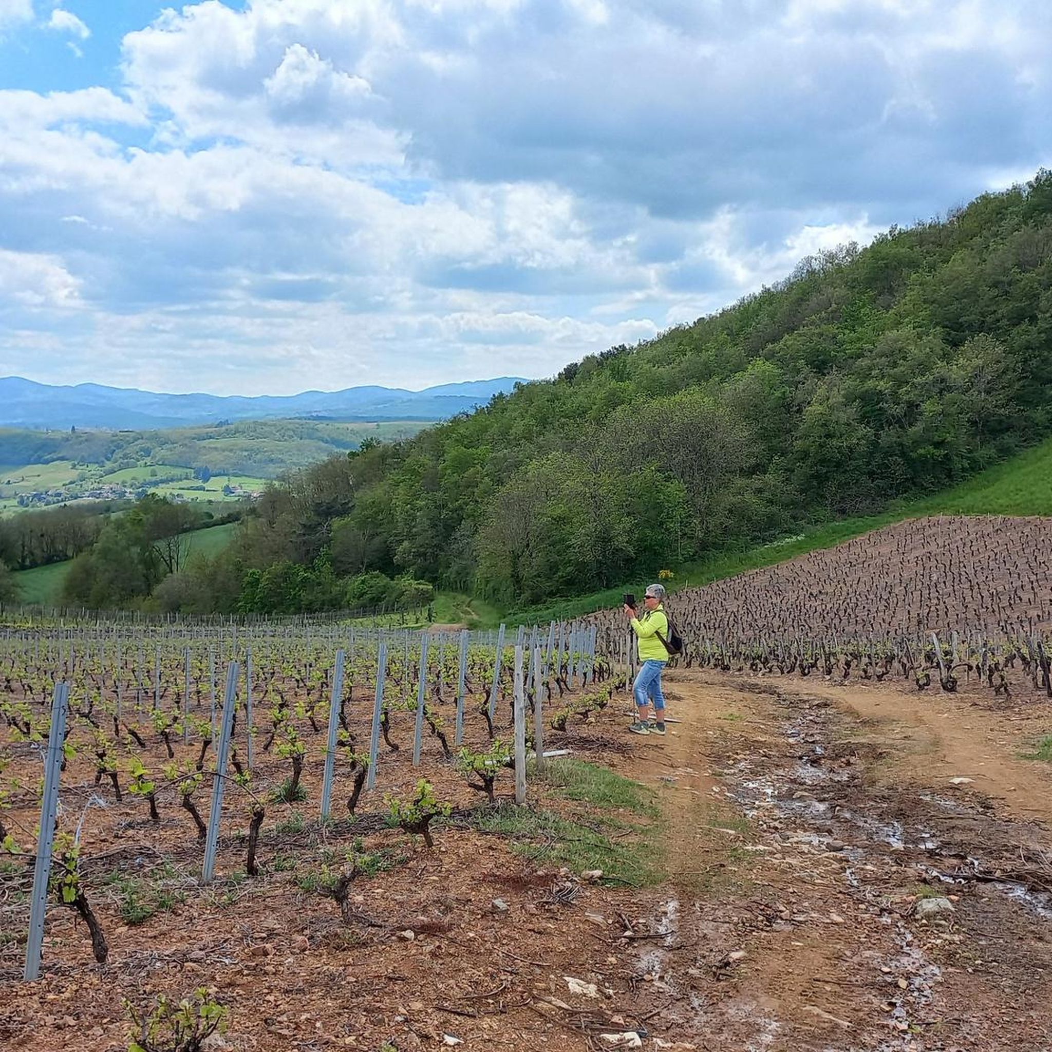
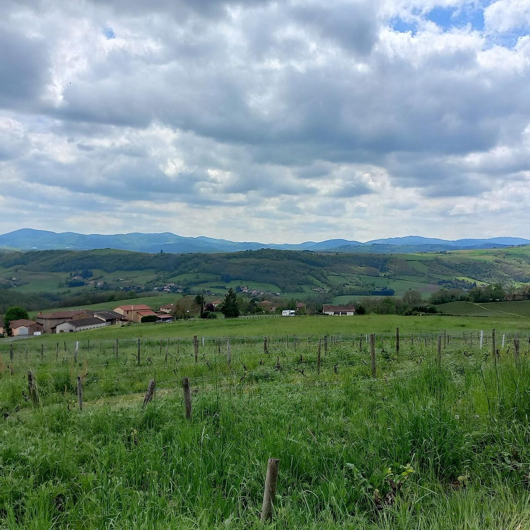
サン・ボネ峠はボージョレ地方にある美しい峠で、標高は646メートルです。主な2つの登りは、サレス=アルビュソナスまたはリヴォレから行われます。サレスからはそれほど難しくなく、ボージョレ地方の非常に美しいパノラマが楽しめます。リヴォレからは、一部の区間で勾配がきつくなりますが、登りは短いです。その後、ほとんど登りなしで、コル・ド・ラ・ヴィエイユ・モルトを経由してパラソワールに合流できます。

翻訳を表示中

役立つ情報

によるものです

ここでのライドを見る

スマートフォンに送信

保存

ルレ・デュ・パラソワール

ハイライト • レストラン

Perched at the top of the hill of St Cyr-le-Châtoux, at an altitude of 656 meters and located near an airfield, the Relais du Parasoir offers you a breathtaking view …

翻訳者 Google •

役立つ情報

によるものです

保存

今すぐサインアップして、こんな場所を発見しよう

最高のシングルトラック、ピーク、その他のエキサイティングなアウトドアスポットのおすすめを受け取ろう。

無料新規登録

クロワ・パパン峠

ハイライト • 山道

A great pass 100 km from Lyon! with picnic area just in case
For the record, it took me 3 attempts to complete the entire route, the first having been …

翻訳者 Google •

役立つ情報

によるものです

保存

ジョンサン峠

ハイライト • 山道

Nice pass to do from: Chambost-Allières, Chamelet, Létra, La Saule d'Oingt in the extension of the Col du Chêne. Nice percentages on the Chamelet side, Létra and in the beginning …

翻訳者 Google •

役立つ情報

によるものです

保存

ル・パラソワール

ハイライト • 山道

The climb to Salle Arbuissonnas/Saint Cyr le Chatoux is quite long.

翻訳者 Google •

役立つ情報

によるものです

保存

無料でサインアップして、さらに多くの山道を発見しましょう サン・ローラン・ド・オワンでの。

無料新規登録

すでにアカウントをお持ちですか?

無料アカウントで今日から始めよう

次の冒険が待っています。

ログインまたは登録

サン・ローラン・ド・オワン周辺で人気

サン・ローラン・ド・オワンでのハイキング

サン・ローラン・ド・オワンのロードバイクルート

サン・ローラン・ド・オワンでのサイクリング

サン・ローラン・ド・オワンのMTBトレイル

サン・ローラン・ド・オワンのランニングコース

サン・ローラン・ド・オワンでののグラベルライド

コミュニティからのヒント

Christophe
9月 27, 2025, Col de Saint-Bonnet

GOOD

Google翻訳による翻訳

0

0

The Col de Saint-Bonnet, located in the heart of the Alps, offers a spectacular panorama of the surrounding mountains and green valleys. This pass, perched at an altitude of 1,499 metres, is a favourite passage for hikers and cyclists in search of magnificent landscapes. As you climb the slopes of the pass, the view gradually opens up onto the Alpine peaks, forests and flowery meadows.

Google翻訳による翻訳

0

3

For a little refreshing break between 2 passes

Google翻訳による翻訳

0

0

サン・ボネ峠はボージョレ地方にある美しい峠で、標高は646メートルです。主な2つの登りは、サレス=アルビュソナスまたはリヴォレから行われます。サレスからはそれほど難しくなく、ボージョレ地方の非常に美しいパノラマが楽しめます。リヴォレからは、一部の区間で勾配がきつくなりますが、登りは短いです。その後、ほとんど登りなしで、コル・ド・ラ・ヴィエイユ・モルトを経由してパラソワールに合流できます。

Google翻訳による翻訳

2

0

To do from Chambost-Allières, Rivolet. In the fog, the climb seemed very long to me. The percentages are low but the climb is quite long, 7 km at 4.5%. At the top you can go for a walk in St Cyr le Chatoux, take your gravel or mountain bike to go on the paths, go climb the Pyramid, eat and drink at the restaurant, continue on the ridge road which goes to the North by chaining the collars.

Google翻訳による翻訳

1

0

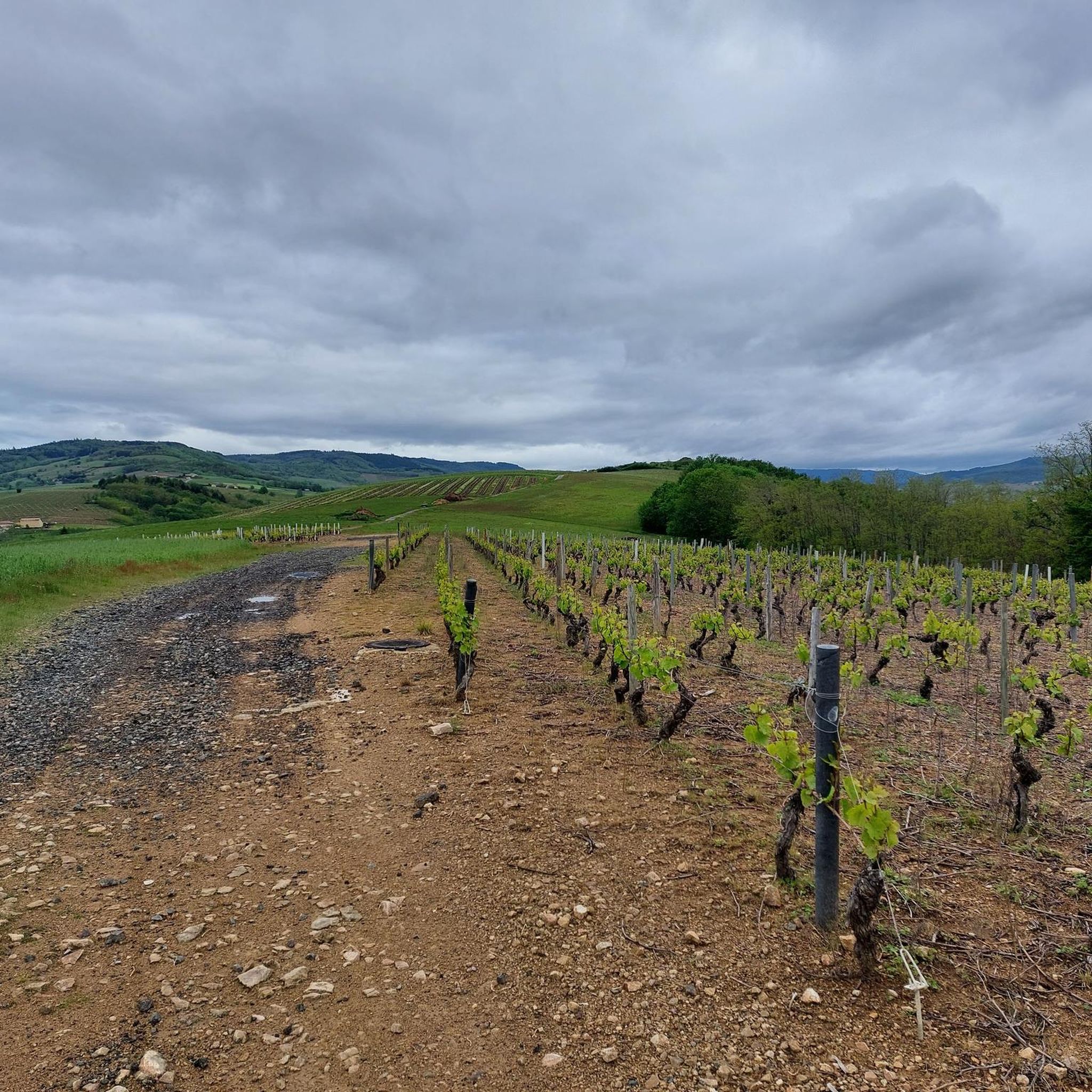
Nice pass to do from: Chambost-Allières, Chamelet, Létra, La Saule d'Oingt in the extension of the Col du Chêne. Nice percentages on the Chamelet side, Létra and in the beginning of the ascent from Chambost, at the end the slope flattens out. From Chambost, we climb in a beautiful semi-mountain atmosphere. The connection from the Col du Chêne to the Joncin offers a magnificent view all along over the Azergues. It is the starting point of a beautiful forest trail in the Cantinière forest, to be done in gravel, and mountain bike trails.

Google翻訳による翻訳

2

0

Nice pass to do from: Chambost-Allières, Chamelet, Létra, La Saule d'Oingt in the extension of the Col du Chêne. Nice percentages on the Chamelet side, Létra and in the beginning of the ascent from Chambost, at the end the slope flattens out. From Chambost, we climb in a beautiful semi-mountain atmosphere. The connection from the Col du Chêne to the Joncin offers a magnificent view all along over the Azergues. It is the starting point of a beautiful forest trail in the Cantinière forest, to be done in gravel, and mountain bike trails.

Google翻訳による翻訳

0

0

Ascent from Azergues or Beaujolais. Fairly busy road. You can extend to the Parasoir, with its restaurant at the top. Low slope but fairly long Parasoir pass. You can walk a few hundred meters to see the village of St Cyr le Chatoux, a very pretty little village which is not on the main road. From the parasoir, we can then continue on a superb road with a magnificent view that takes us to the chain of passes of the Croix Montmain, Marchampt, Rosier... to the north.

Google翻訳による翻訳

0

0

サン・ローラン・ド・オワンでのの人気ルート

サン・ローラン・ド・オワンでのハイキング

サン・ローラン・ド・オワンでのの人気観光スポット

Places to see

Store rating

komootモバイルアプリでインスピレーションを得よう

無料のkomootアカウントがあれば、無限のアウトドアコースを簡単に見つけてカスタマイズし、ナビで案内できます。

または

今すぐkomootに参加しよう

Store rating

さらに探索

これらのガイドでさらに壮大な山道を見てみましょうサン・ローラン・ド・オワンでの:

シャンボスト・アリエール(Chambost-Allières)グランドリBeaujeuSaint-Cyr-Le-Chatouxラミュール=シュル=アゼルグマルシャンプトヴォー・アン・ボージョレ(Vaux-En-Beaujolais)Le Perréonクラベソ-ルクインシェ・アン・ボージョレサン・ニジエ・ダゼルグ(Saint-Nizier-D'AzerguesOurouxサン=ジュスト=ダヴレイAvenasヴィリエ・モルゴンRégnié-DuretteLes Ardillatsサン・ジャック・ド・アレッツトレードジュリエリヴォレSaint-MamertシャムレットレトラCenvesMonsolsサン=ディディエ=シュル=ボージュ(Saint-Didier-Sur-Beaujeuエメリンゲスヴォーヴルナールサンテポーレサン=テティエンヌ=デ=オリエールオデナステルナンランティグニェVernayサント・クリストフモンメラ・サン・ソルラン(Montmelas-Saint-Sorlinサン=ボネ=ル=トロンシーBlacéSalles-Arbuissonnas-En-BeaujolaisMeaux-La-Montagneサン=テティエンヌ=ラ=ヴァレンヌCognyヴィル・シュル・ジャルヌー(Ville-Sur-Jarniouxクール・レズ・エシャルモー(Poule-Les-ÉcharmeauxジュリエナDièmeシロブルChéneletteCublizeランチャルデニセSaint-JulienValsonneサン=クレマン=シュル=バルソンヌサン・ヴェランロノサン・アポリネールサン=ヴァンサン=ド=レイン(Saint-Vincent-De-ReinsOingtサン=ジャン=ラ=ブシエール(Saint-Jean-La-Bussière)ブルッシューサヴィニーBessenayCourzieuBrulliolesビボストChevinayThizy-Les-BourgsアンプルプイFleurieChénasテイゼサン・リュウThurinsメシミーポリヨネイゼロンサン・ピエール=ラ=パルーブリンダSoucieu-En-JarrestGrézieu-La-Varenneサン・マルタン・アン・オー(Saint-Martin-En-Haut)モンロマンスヴォーグネレイサン=ジュリアン=シュル=ビボスト(Saint-Julien-Sur-BibostSain-Belタラレバプロピエールクールサン・ジェニス・ラルガンティエール(Saint-Genis-L'Argentière)LentillySourcieux-Les-Minesレ・ソバージュMontrottierLierguesジャルヌーラセナプイィ・ル・モニアルセルシーサン・ラジェSarceyLe Bois-D'OingtDareizéフルーリー=シュル=アルブレスシャポノストエヴューサンテコンソルトラルブレルSaint-Romain-De-Popeyグレイゼサン=ボネ=デ=ブリュイエール(Saint-Bonnet-Des-Bruyèresアゾレットサンマルセル=レクレーレジューポンチャラ・シュル・トゥルディンデュエルヌRontalonLozanneドマールタンシャティヨンサンローラン・ド・シャムセットブリーアルナスモワレアンシーサン・イジニー・ド・ヴェール(Saint-Igny-De-Vers)サン=クレマン=ド=ヴェール(Saint-Clément-De-Vers)レ・オルムアフーサンフォージューサン=ジェルマン=ヌエル(Saint-Germain-Nuelles)シャルネイシヴリュー=ダゼルグ(Civrieux-D'Azerguesベルモント=ダゼルグ(Belmont-D'AzerguesLégnyサンジョルジュドレネインシャルンタイ

近くのアドベンチャーガイド

Oingtでやるべきこと

background

新しいピークを征服する準備をしよう

無料でサインアップ

探検する
ルートルートプランナー機能バウチャーを利用ハイキングMTBトレイルロードバイクルートバイクパッキングサイトマップ
アプリをダウンロード
SNSでフォローする

© komoot GmbH

プライバシーポリシー