ラ・ペンヌのおすすめライド
4.7
(34)
1,515
ライダー
35
ライド
ラ・ペンヌ周辺のロードバイクルートをお探しですか?ここでは、komootが提供するラ・ペンヌでのロードバイクライドのコレクション全体を評価して選び抜いた人気ルートをご紹介します。各ライドの詳細をぜひご覧ください。
最終更新日: 9月 28, 2026
5.0
(1)
271
ライダー
43.9km
02:45
1,250m
1,250m
難しいロードライド. 標準以上のフィットネスレベルが必要です。 ツアーの一部に、未舗装のため走行が難しい箇所があるかもしれません。
5.0
(6)
208
ライダー
87.4km
04:53
1,890m
1,890m
難しいロードライド. 標準以上のフィットネスレベルが必要です。 全般的に舗装状態が良好で走行しやすい道です。

5.0
(2)
85
ライダー
101km
05:35
2,140m
2,140m
難しいロードライド. 標準以上のフィットネスレベルが必要です。 全般的に舗装状態が良好で走行しやすい道です。
5.0
(1)
41
ライダー
124km
07:24
3,170m
3,170m
難しいロードライド. 標準以上のフィットネスレベルが必要です。 全般的に舗装状態が良好で走行しやすい道です。
42
ライダー
40.2km
02:11
770m
770m
中程度のロードライド. ある程度のフィットネスレベルが必要です。 全般的に舗装状態が良好で走行しやすい道です。
さらに多くのルートや他のユーザーのおすすめ情報を確認できます。
すでにアカウントをお持ちですか?
おすすめのツアーは他のkomootユーザーが実際に経験した何千ものアクティビティに基づいています。
無料アカウントで今日から始めよう
次の冒険が待っています。
コミュニティからのヒント

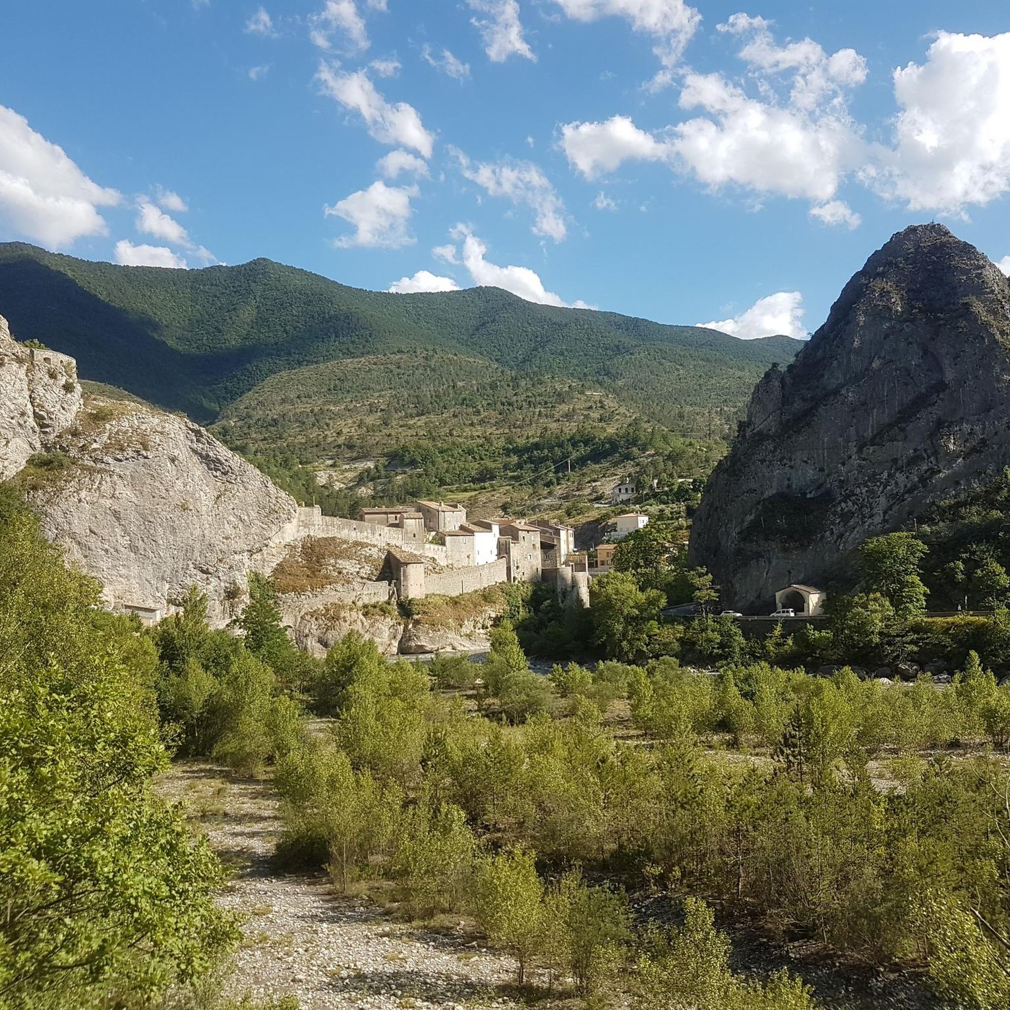
見事なGorges du Cianを抜けると、この景色であなたを迎えてくれるBeuilに到着します
0
0

The Col de la Couillole is a mountain pass in the Massif du Mercantour-Argentera of the French Alps, situated at an altitude of 1,678 m (5,505 ft) in the Alpes-Maritimes department, France. The road connection is open for six to seven months of the year, allowing travel between the Cians gorges in the west and the Tinée valley in the east.
0
0
The Col de la Couillole is a mountain pass in the Massif du Mercantour-Argentera of the French Alps, situated at an altitude of 1,678 m (5,505 ft) in the Alpes-Maritimes department, France. The road connection is open for six to seven months of the year, allowing travel between the Cians gorges in the west and the Tinée valley in the east.
0
0

This crossing point is spectacular.
12
0
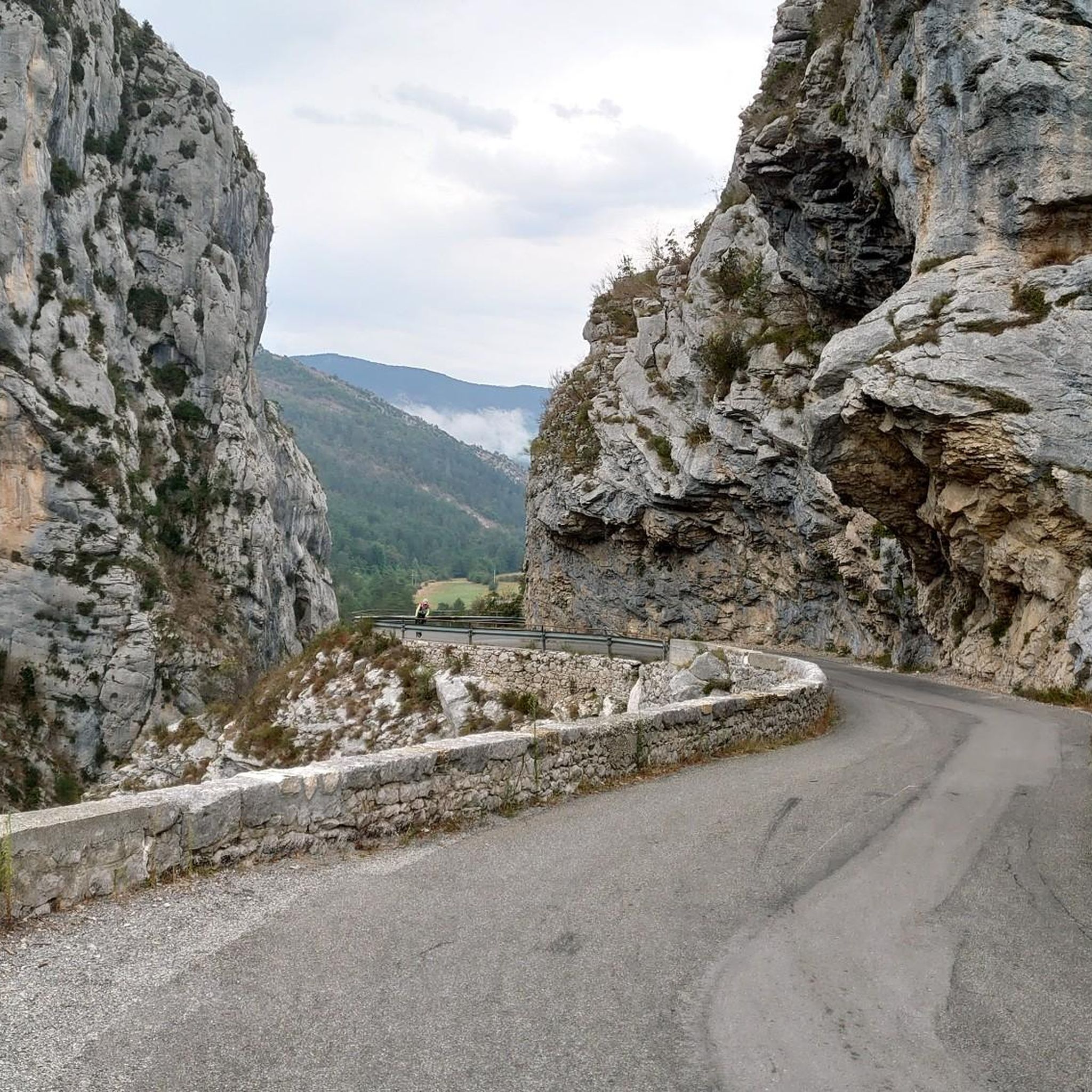
There are some very interesting passages along this stretch of road.
11
0

If you'd like to take a ride, you can find out about the train times here: https://www.cpzou.fr/en/steam-train-train-des-pignes-a-vapeur/
0
0

Stylish bridge over the Var with beautiful views over the Var valley.
5
0

Spectacular view towards the steep valley of Tinée.
0
0
ラ・ペンヌでのの人気観光スポット

komootモバイルアプリでインスピレーションを得よう


さらに探索
他の地域の最高のロードサイクリングルートを見てみましょう。
