マナワツ・ワンガヌイのおすすめランニングルート
4.5
(4)
882
ランナー
76
ランニング
マナワツ・ワンガヌイでランニングを楽しめば、このエリアをより深く知ることができます。ランニングに適した美しいルートが見つかるように、komootがマナワツ・ワンガヌイでのルートのコレクション全体を評価して選び抜いた、人気ランニングトレイルをご紹介します。ルートをクリックして詳細を表示し、他のユーザーがアップロードした役立つ情報や写真を閲覧しましょう。
最終更新日: 9月 29, 2026
5.0
(1)
117
ランナー
7.53km
00:55
130m
130m
中程度のジョギング. ある程度のフィットネスレベルが必要です。 全般的に舗装された状態です。あらゆるスキルレベルに適しています。
48
ランナー
64.6km
08:53
1,950m
1,950m
難しいジョギング. 標準以上のフィットネスレベルが必要です。 全般的に舗装された状態です。あらゆるスキルレベルに適しています。

43
ランナー
15.9km
01:38
60m
60m
難しいジョギング. 標準以上のフィットネスレベルが必要です。 全般的に舗装された状態です。あらゆるスキルレベルに適しています。
5.0
(1)
37
ランナー
6.77km
00:51
180m
180m
中程度のジョギング. ある程度のフィットネスレベルが必要です。 全般的に舗装された状態です。あらゆるスキルレベルに適しています。
43
ランナー
16.6km
02:29
730m
730m
難しいジョギング. 標準以上のフィットネスレベルが必要です。 全般的に舗装された状態です。あらゆるスキルレベルに適しています。
37
ランナー
8.90km
00:58
100m
100m
中程度のジョギング. ある程度のフィットネスレベルが必要です。 全般的に舗装された状態です。あらゆるスキルレベルに適しています。
34
ランナー
19.9km
02:47
820m
820m
難しいジョギング. 標準以上のフィットネスレベルが必要です。 全般的に舗装された状態です。あらゆるスキルレベルに適しています。
5.0
(1)
25
ランナー
7.04km
00:44
50m
50m
中程度のジョギング. ある程度のフィットネスレベルが必要です。 全般的に舗装された状態です。あらゆるスキルレベルに適しています。
30
ランナー
9.37km
01:17
320m
320m
難しいジョギング. 標準以上のフィットネスレベルが必要です。 全般的に舗装された状態です。あらゆるスキルレベルに適しています。
30
ランナー
9.37km
01:17
320m
320m
難しいジョギング. 標準以上のフィットネスレベルが必要です。 全般的に舗装された状態です。あらゆるスキルレベルに適しています。
さらに多くのルートや他のユーザーのおすすめ情報を確認できます。
すでにアカウントをお持ちですか?
おすすめのツアーは他のkomootユーザーが実際に経験した何千ものアクティビティに基づいています。
マナワツ・ワンガヌイでのの他の冒険

コミュニティからのヒント


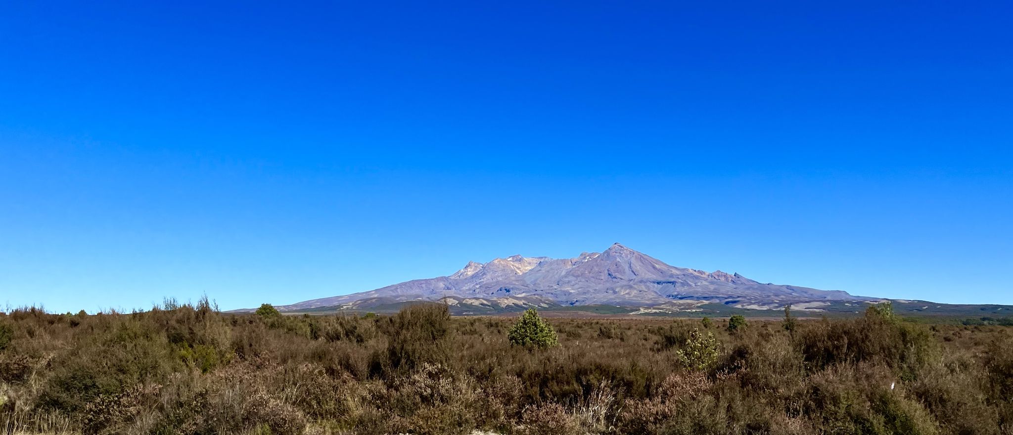
Beautiful view of the plateau dominated by Mount Ngauruhoe
2
0
Numerous hiking trails start here, e.g. the Taranaki Falls Track and the Tongariro Crossing... the options are described on hiking boards
1
0


The path leads beautifully through the lava landscape... impressive to experience the power of nature
2
0

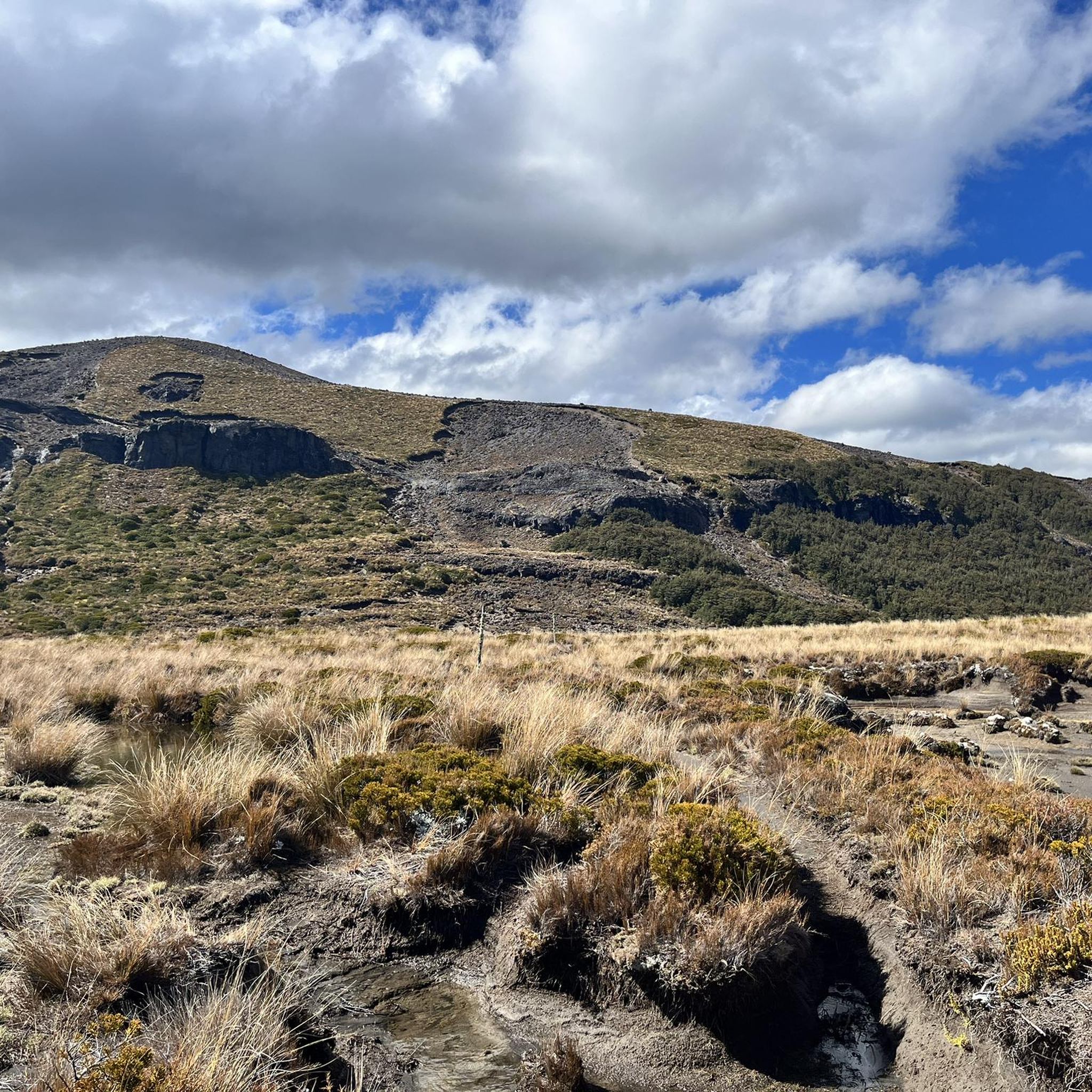
Mount Ngauruhoe is New Zealand’s youngest and historically most active volcano. Seeing, crossing and even touching the jagged old lava flows from Mount Ngauruhoe is an early highlight on the Tongariro Alpine Crossing when ascending from Mangatepopo. The youngest lava flows appear black and erupted from Ngauruhoe in 1949 and 1954. The older lava flows contain progressively more plants, lichens and moss. It is easy to back-trace the multiple black/grey lava flow lines to the summit of Ngauruhoe. The lava flows (and an information board) are encountered first between 1.65 and 2.0 miles from the trail start at Mangatepopo. They clarify powerfully the volcanic nature of the terrain that lies ahead!
1
1
For many hikers the most memorable part of the remarkable Tongariro Alpine Crossing is the steep descent from the trail’s highest point above Red Crater to the first Emerald Lake. Here the path descends by 150 m (490 feet) for a run of 300 m (980 feet). This equates to a 1:2 slope or a gradient slope percentage of 50%. For some hikers the descent is memorable because it is the most challenging section of the Tongariro Alpine Crossing to negotiate safely. For other hikers the descent is memorable because it is arguably the most exhilarating and exciting part of the trail. For nearly all hikers the descent will be unforgettable! The challenge and excitement of this steep descent is enhanced by the trail having drop offs on both its sides (the right side dropping into Red Crater), by the dramatic volcanic scenery evident everywhere, and by the photogenic emerald lakes that lie invitingly ahead! The steep trail is covered by grey-black basalt scoria, dirt and gravel, and is slippery in places. Hence for the best experience during the descent, concentration and care are advised especially in windy conditions.
2
0
マナワツ・ワンガヌイでのの人気観光スポット

komootモバイルアプリでインスピレーションを得よう


探していたものは見つかりませんでしたか?
マナワツ・ワンガヌイの下にある他のランニングトレイル & ルートをチェックして、目的地で完璧なルートを見つけましょう。
さらに探索
他の地域の最高のランニングトレイル & ルートを見てみましょう。
