アントリフトタールのおすすめライド
4.6
(306)
2,705
ライダー
23
ライド
アントリフトタール周辺でのロードバイクライドをお考えですか?komootはアントリフトタール周辺のあらゆるロードバイクライドを評価し、人気ルートを厳選しました。アントリフトタール周辺の各ロードバイクルートの詳細をご覧になり、自分に合ったルートを見つけてください。
最終更新日: 8月 28, 2026
4.0
(2)
38
ライダー
53.6km
02:18
380m
380m
中程度のロードライド. ある程度のフィットネスレベルが必要です。 全般的に舗装状態が良好で走行しやすい道です。
4.0
(1)
12
ライダー
32.3km
01:33
310m
310m
中程度のロードライド. ある程度のフィットネスレベルが必要です。 全般的に舗装状態が良好で走行しやすい道です。

無料新規登録
15
ライダー
57.4km
02:41
690m
690m
中程度のロードライド. ある程度のフィットネスレベルが必要です。 全般的に舗装状態が良好で走行しやすい道です。
16
ライダー
32.2km
01:18
160m
160m
初級者向けロードバイクライド. あらゆるフィットネスレベルに適しています。 全般的に舗装状態が良好で走行しやすい道です。
11
ライダー
32.1km
01:26
310m
310m
中程度のロードライド. ある程度のフィットネスレベルが必要です。 全般的に舗装状態が良好で走行しやすい道です。
さらに多くのルートや他のユーザーのおすすめ情報を確認できます。
無料新規登録
すでにアカウントをお持ちですか?
おすすめのツアーは他のkomootユーザーが実際に経験した何千ものアクティビティに基づいています。
無料アカウントで今日から始めよう
次の冒険が待っています。
ログインまたは登録
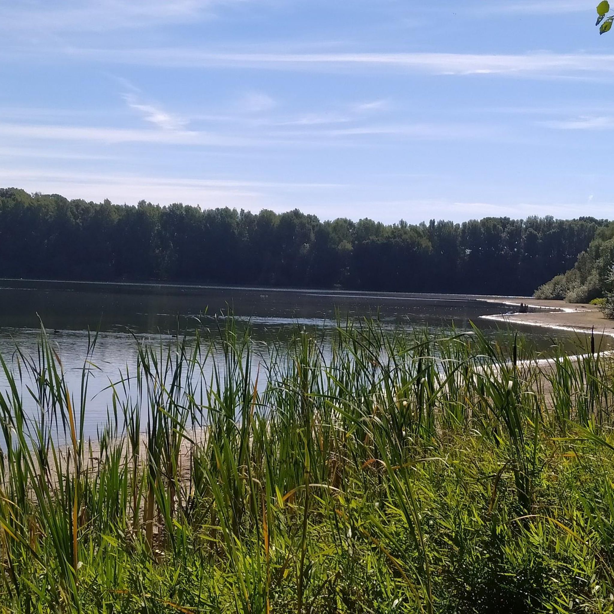
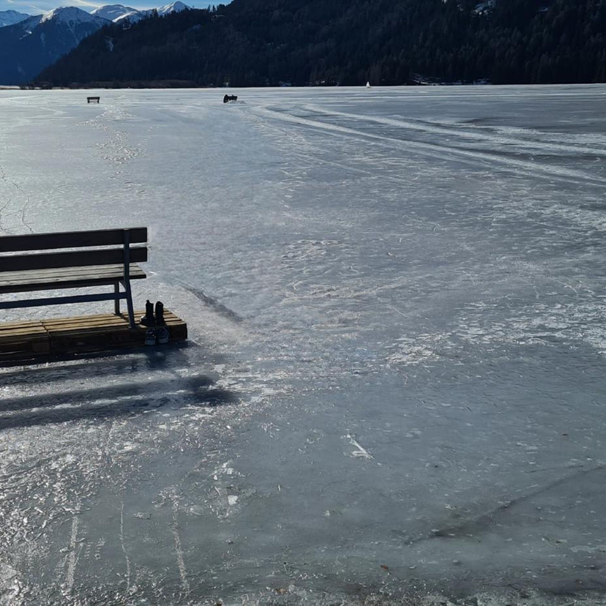
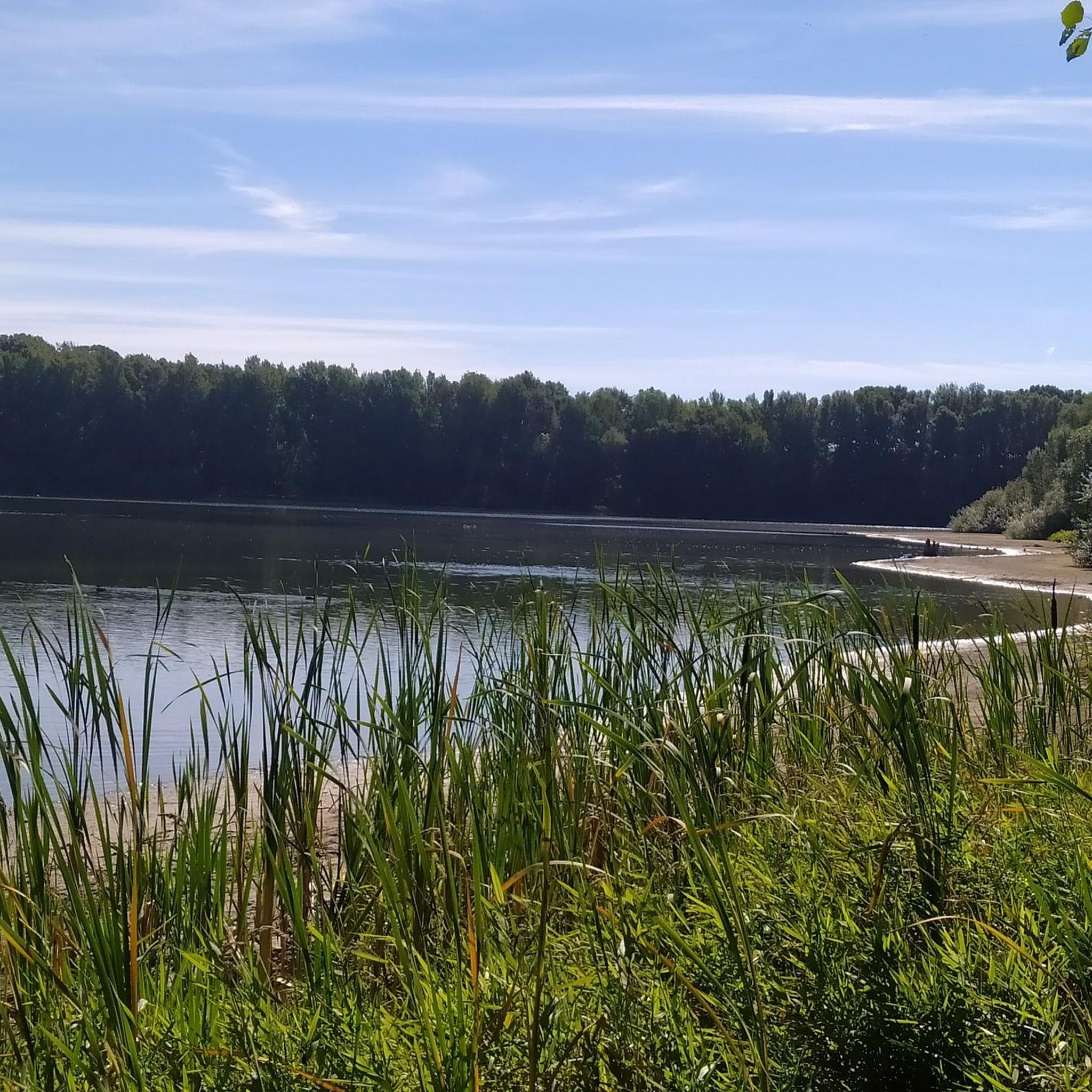
コミュニティからのヒント

アンゲンロートとビラートハウゼンの中間にある福音教会「Getürms」。
3
0
From Katzenberg you have a direct view of the Catholic church of Seibelsdorf.
3
0
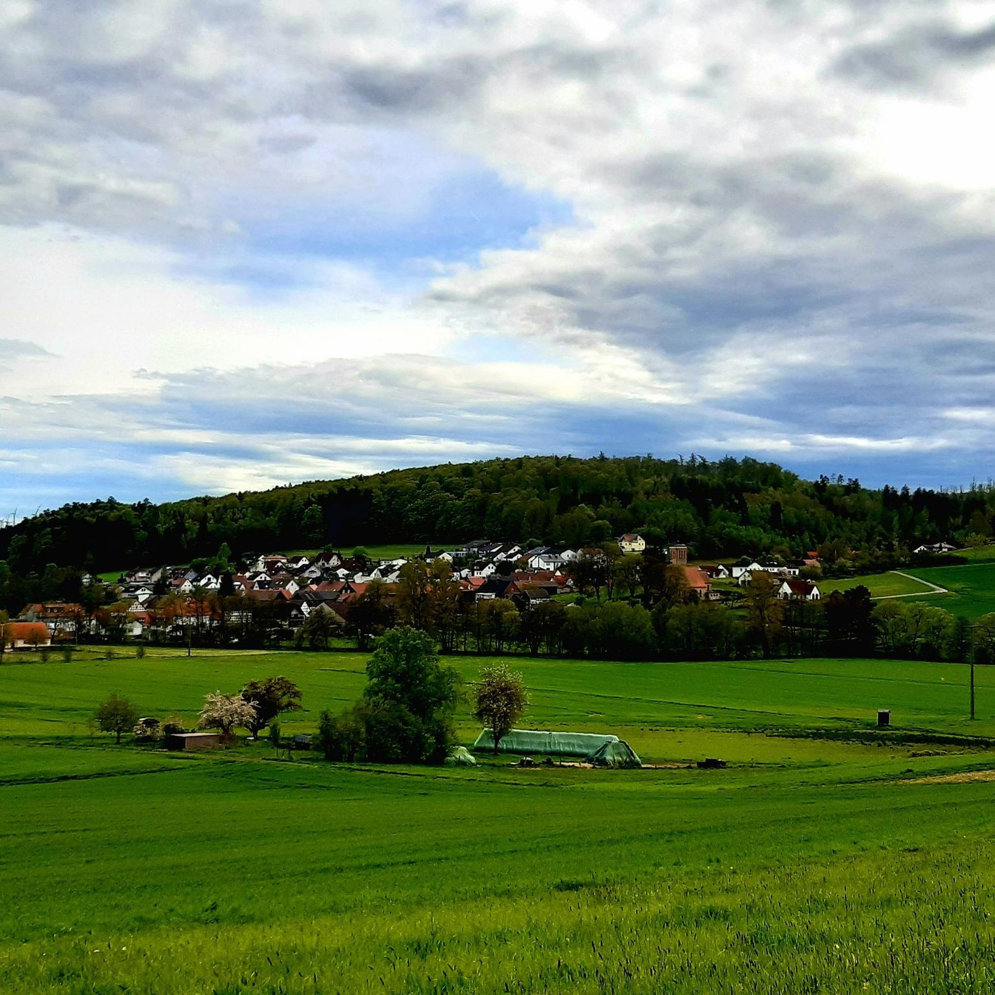
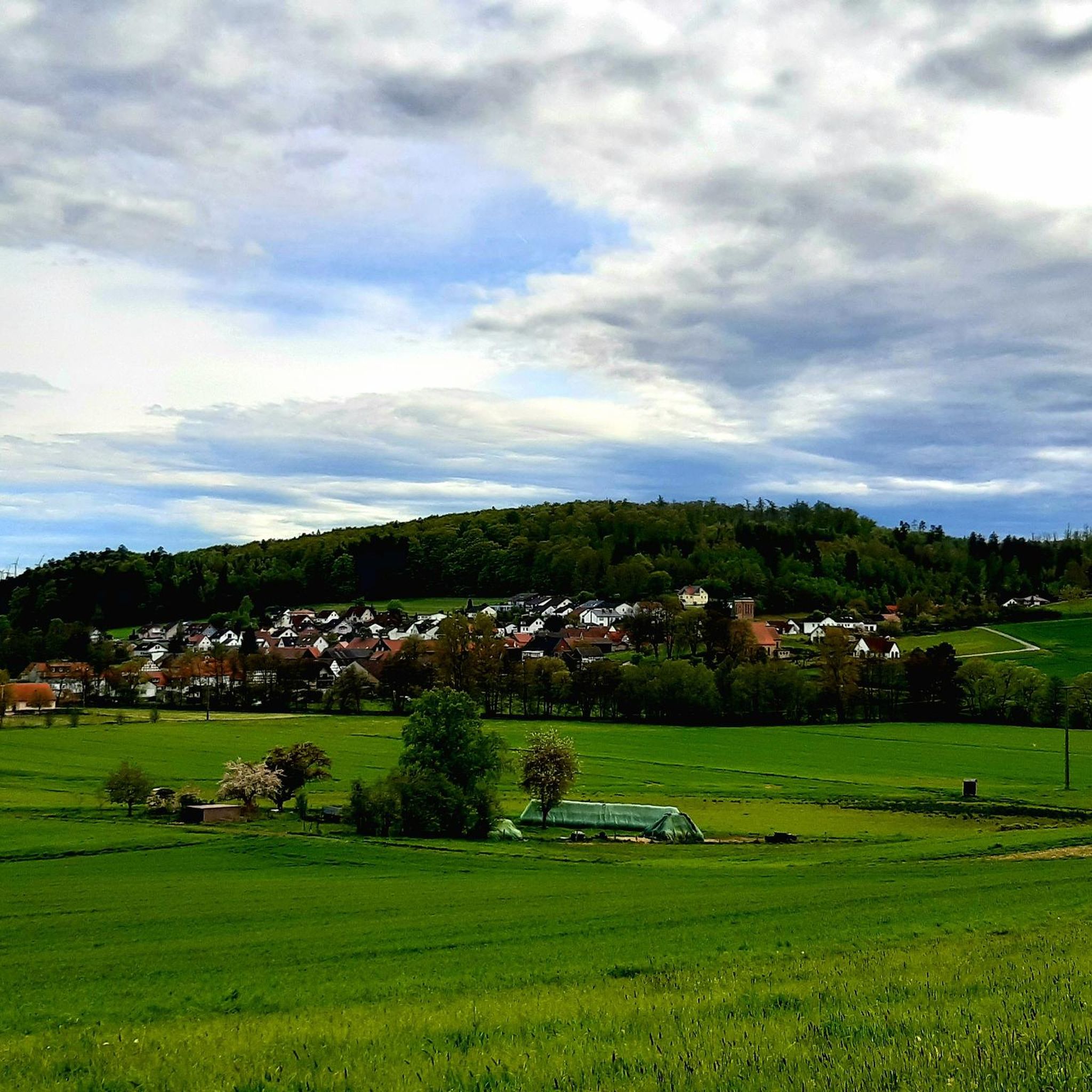
From Katzenberg, one has a magnificent view of Seibelsdorf and the surrounding Antrifttal valley.
4
0

The square is named after the fountain of the same name and has been exclusively accessible to pedestrians since the 1970s, thus creating a quiet zone within the old town. One of the most striking features is the legend: According to this legend, the stork myth plays a role here—the stork retrieved "newborn children" from the fountain or brought them to their parents.
6
0
The Katzenberg, also known as "Chattenberg," was once a place of execution. An information panel provides information about the history of this place. The panoramic view of Seibelsdorf is picturesque and beautiful!
7
1

Directly on the old railway embankment stands a wooden sculpture of Little Red Riding Hood
2
0

The Grenff rises in the Ottrau Uplands, its source 1.2 km southeast of Görzhain in a clearing on the northern flank of the Frohnkreuzkopf, the western foothills of the Rimberg (591.8 m), at an altitude of approximately 395 m. From Görzhain, the Grenf flows to the right of the Rotkäppche cycle path.
1
1
Here, the Grenf flows into the Schwalm after a 21.9 km run and a 181 m elevation gain. Its source is 1.2 km southeast of the Ottrau district of Görzhain in a clearing on the northern flank of the Frohnkreuzkopf (approx. 530 m above sea level), the western foothills of the Rimberg (591.8 m), at an elevation of approximately 395 m. From Görzhain onward, the Grenf accompanies the Little Red Riding Hood Cycle Path on the right.
2
0
アントリフトタールでのの人気観光スポット

komootモバイルアプリでインスピレーションを得よう


さらに探索
他の地域の最高のロードサイクリングルートを見てみましょう。
