ルビオン周辺のアトラクション&必見スポット - トップ20
ルビオンには必見のスポットがたくさんあります。ハイキング愛好家やサイクリング愛好家の方は、ぜひルビオンを探索してこのエリアにある20
の隠れたスポットを訪れてみてください。このエリアの必見スポットを確認し、次の冒険に出かける計画を立てましょう。
最終更新日: 8月 30, 2026
コル・サン=マルタンの出発地点
ハイライト (セグメント) • 山道
翻訳者 Google •
役立つ情報 は

船の船首、コッラルンガ峠の兵舎
ハイライト • 歴史的な場所
翻訳者 Google •
役立つ情報 は

今すぐサインアップして、こんな場所を発見しよう
最高のシングルトラック、ピーク、その他のエキサイティングなアウトドアスポットのおすすめを受け取ろう。
無料新規登録
コル・ド・ラ・クイヨール
ハイライト • 山道
翻訳者 Google •
役立つ情報 は

イゾラからイゾラ2000を経由してコル・ド・ラ・ロンバルドへの登り
ハイライト (セグメント) • 山道
翻訳者 Google •
役立つ情報 は

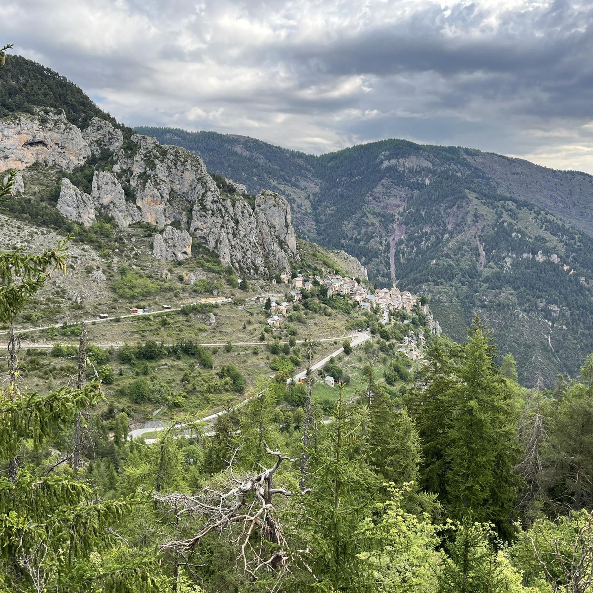
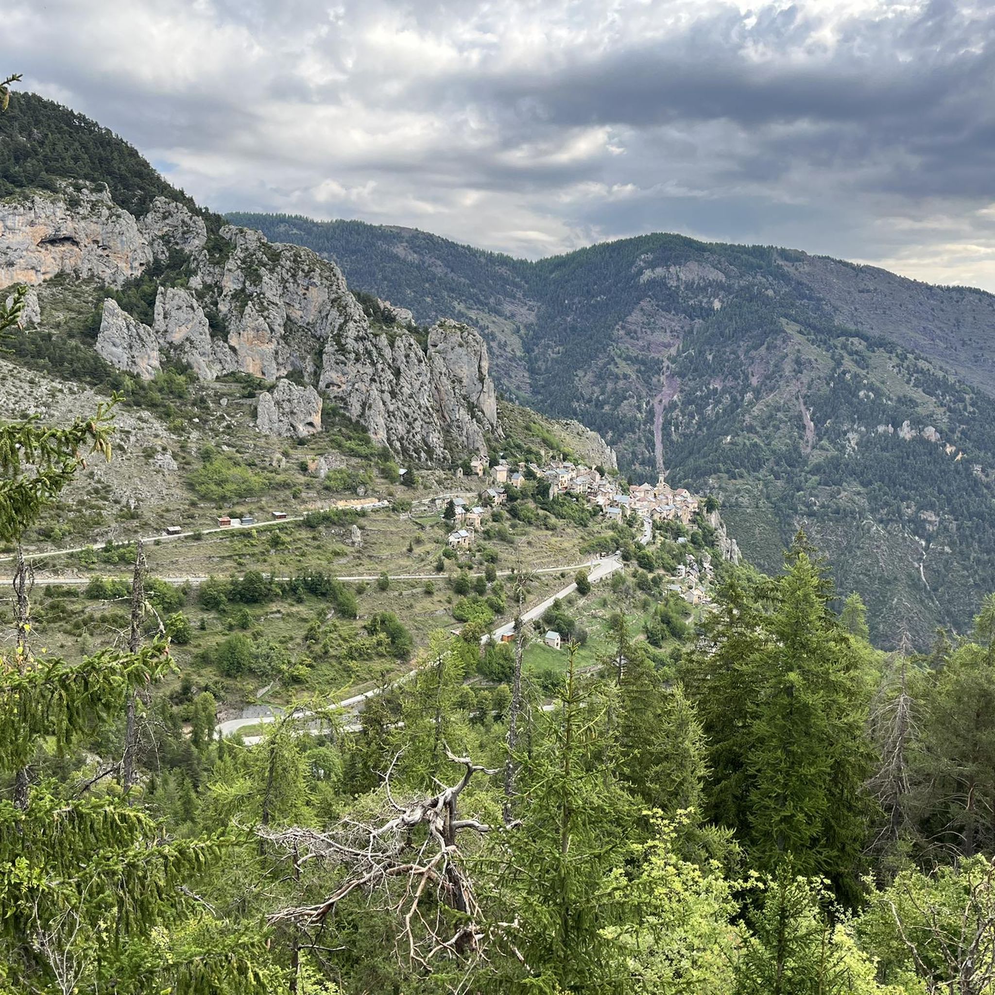
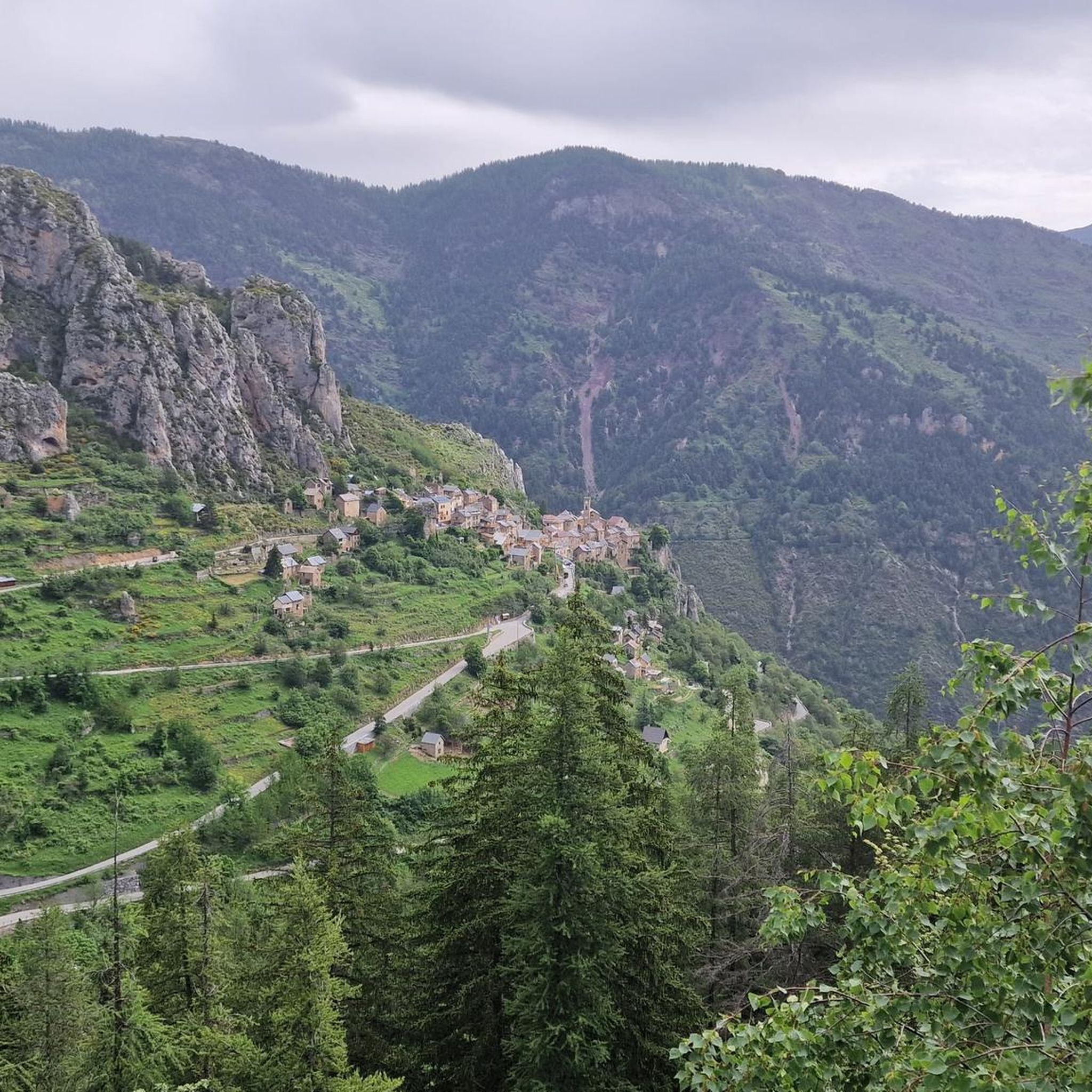
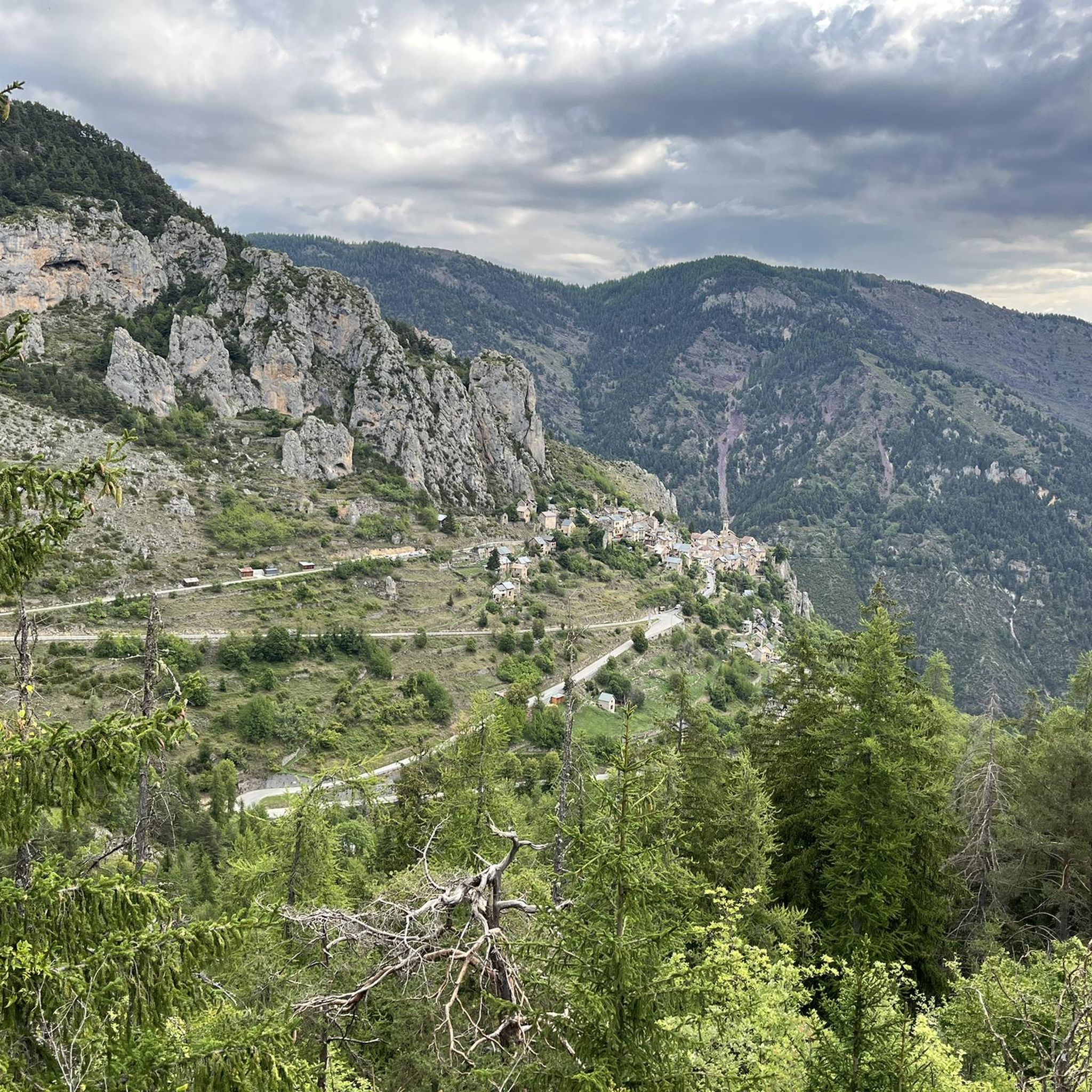
サン・マルタン峠の眺め
ハイライト • その他
翻訳者 Google •
役立つ情報 は

無料でサインアップして、さらに多くの観光スポットを発見しましょう ルビオンでの。
無料新規登録
すでにアカウントをお持ちですか?
無料アカウントで今日から始めよう
次の冒険が待っています。
ログインまたは登録

コミュニティからのヒント


The Col de la Couillole is a mountain pass in the Massif du Mercantour-Argentera of the French Alps, situated at an altitude of 1,678 m (5,505 ft) in the Alpes-Maritimes department, France. The road connection is open for six to seven months of the year, allowing travel between the Cians gorges in the west and the Tinée valley in the east.
0
0
The Col Saint-Martin Pass, or Col de la Colmiane, is a mountain pass in the Southern Alps located at an altitude of 1,500 meters in the Alpes-Maritimes department of France. It provides a year-round road link between the Tinée Valley to the west and the Vésubie Valley to the east.
0
0
Col Saint Martin (el. 1500 m.) is a high mountain pass in the Alps in the department of Alpes-Maritimes in France.[1] It is traversed by the D-2205 highway.[2] The place has been crossed at the Tour de France road cycling race in 1973, 1975 and 2020, as well as at multiple editions of the Paris-Nice.
0
0

The western and French slope of the Col de la Lombarde is hard and long with 20 km and almost 1,500m of elevation gain. Until you reach the Isola 2000 ski resort, which is the main part of the climb, you travel along a road that goes up a very narrow valley. The first kms are the hardest, with an average of 9% and ramps above 10%. Afterwards, the slope softens and is very constant, with some rest sections. After the Isola 2000 station, we face the last 4 km where the slope increases to 8%, with several horseshoe curves and very beautiful views of the valley and the ski resort. A port that remembers the old mountain passes. A pleasure for the senses.
1
0

This stretch of road connects the Vésubie valley with the Tinée valley through the Col di Saint Martin, an Alpine pass located at 1500 meters above sea level. The road is very scenic and offers splendid landscapes between the Maritime Alps and the Mercantour National Park. There are many hairpin bends and rest points from which you can admire the region's highest peaks, vertiginous gorges carved by streams and picturesque medieval villages.
0
0

Collalunga pass there are still some signs, and now the barracks are collapsing, if you climb further to the top there are the two collalunga lakes
0
0
Evocative, panoramic, dated 5 / 6 / 2023 by now the barracks behind the bow are collapsing, one part already collapsed, another I think will not last long, I advise against entering!
0
0
ルビオンでのの人気観光スポット

komootモバイルアプリでインスピレーションを得よう


さらに探索
まだ探しているハイライトが見つかりませんか?他の地域のトップアトラクションのガイドを見てみましょう:
