サンタクララ山脈のおすすめランニングルート
4.0
(2)
220
ランナー
102
ランニング
サンタクララ山脈でランニングを楽しめば、このエリアをより深く知ることができます。ランニングに適した美しいルートが見つかるように、komootがサンタクララ山脈でのルートのコレクション全体を評価して選び抜いた、人気ランニングトレイルをご紹介します。ルートをクリックして詳細を表示し、他のユーザーがアップロードした役立つ情報や写真を閲覧しましょう。
最終更新日: 8月 31, 2026
8
ランナー
17.3km
02:17
560m
560m
難しいジョギング. 標準以上のフィットネスレベルが必要です。 全般的に舗装された状態です。あらゆるスキルレベルに適しています。
6
ランナー
8.23km
01:03
200m
200m
中程度のジョギング. ある程度のフィットネスレベルが必要です。 全般的に舗装された状態です。あらゆるスキルレベルに適しています。

無料新規登録
4
ランナー
中程度のジョギング. ある程度のフィットネスレベルが必要です。 全般的に舗装された状態です。あらゆるスキルレベルに適しています。
4
ランナー
6.92km
00:51
90m
90m
中程度のジョギング. ある程度のフィットネスレベルが必要です。 全般的に舗装された状態です。あらゆるスキルレベルに適しています。
4
ランナー
24.4km
03:20
690m
690m
難しいジョギング. 標準以上のフィットネスレベルが必要です。 安定して歩行できる技術、丈夫な靴、高標高地での登山経験が必要です。
4
ランナー
12.5km
01:44
420m
420m
難しいジョギング. 標準以上のフィットネスレベルが必要です。 全般的に舗装された状態です。あらゆるスキルレベルに適しています。
2
ランナー
6.81km
00:52
170m
170m
中程度のジョギング. ある程度のフィットネスレベルが必要です。 全般的に舗装された状態です。あらゆるスキルレベルに適しています。
3
ランナー
9.25km
01:20
420m
420m
難しいジョギング. 標準以上のフィットネスレベルが必要です。 全般的に舗装された状態です。あらゆるスキルレベルに適しています。
3
ランナー
5.59km
00:42
220m
220m
中程度のジョギング. ある程度のフィットネスレベルが必要です。 全般的に舗装された状態です。あらゆるスキルレベルに適しています。
1
ランナー
24.5km
03:26
970m
970m
難しいジョギング. 標準以上のフィットネスレベルが必要です。 全般的に舗装された状態です。あらゆるスキルレベルに適しています。
さらに多くのルートや他のユーザーのおすすめ情報を確認できます。
無料新規登録
すでにアカウントをお持ちですか?
おすすめのツアーは他のkomootユーザーが実際に経験した何千ものアクティビティに基づいています。
無料アカウントで今日から始めよう
次の冒険が待っています。
ログインまたは登録


コミュニティからのヒント

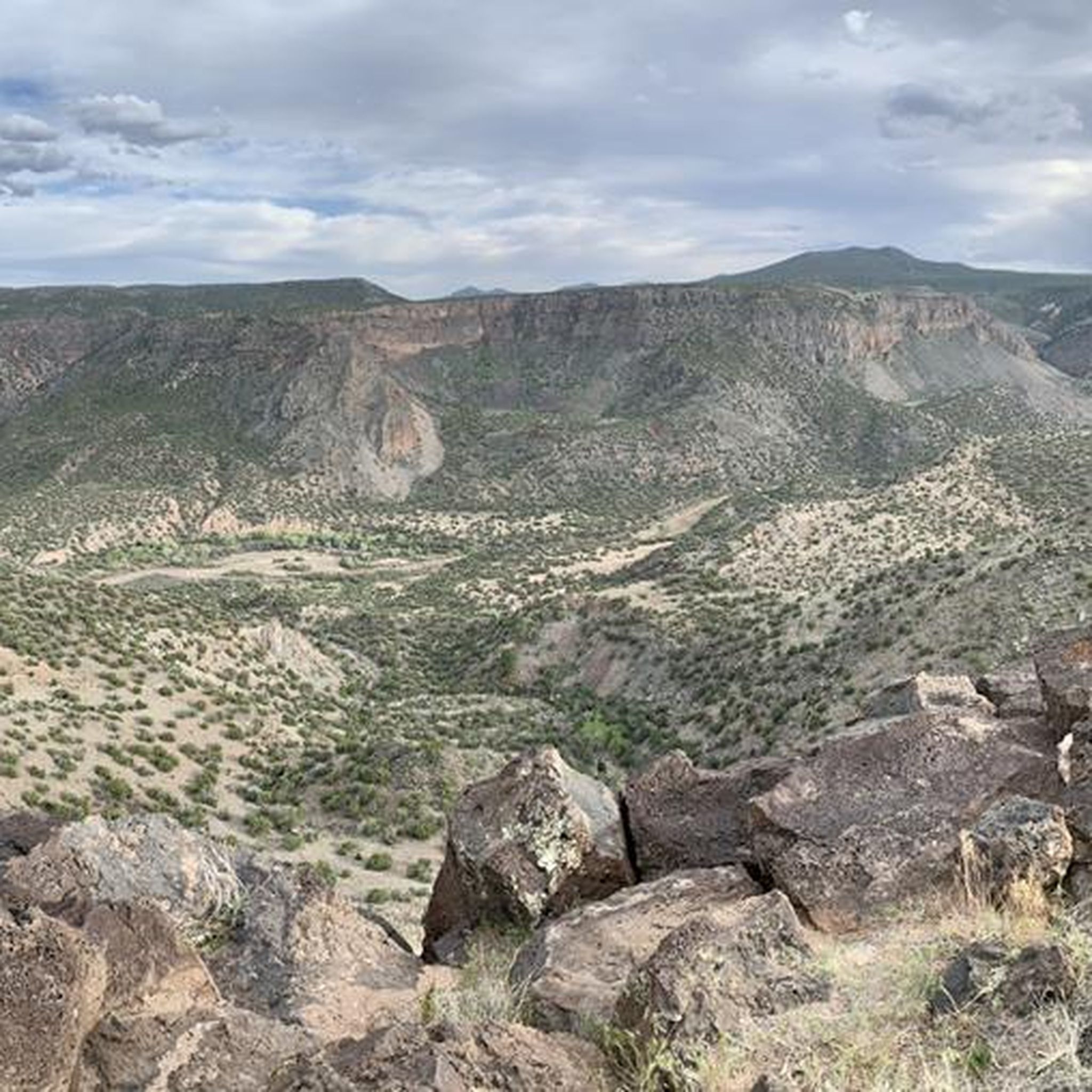
A paved pathway leads to a viewing platform at the northern tip, providing stunning vistas of the Rio Grande River and the picturesque White Rock Canyon. The river gracefully winds its way through the canyon, creating a stunning contrast against the rugged terrain.
0
0

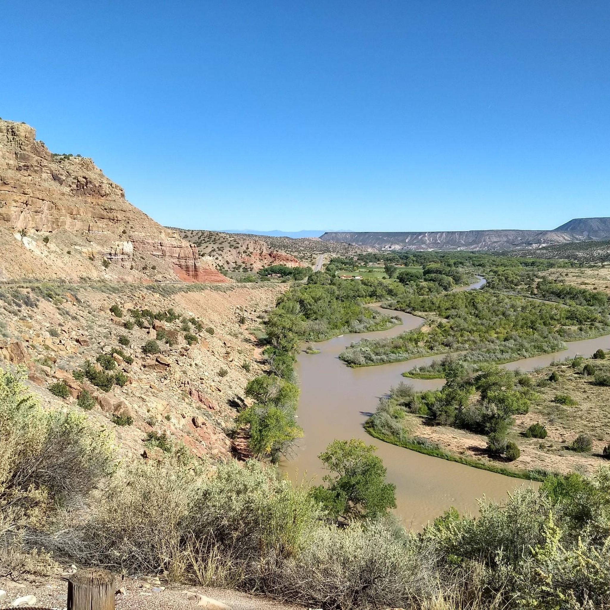
After the long (probably hot!) descent down the mesa, you are treated to up close views of the Rio Grande River. This is a great spot to cool off by the water and admire the views of this majestic, famous river.
0
0
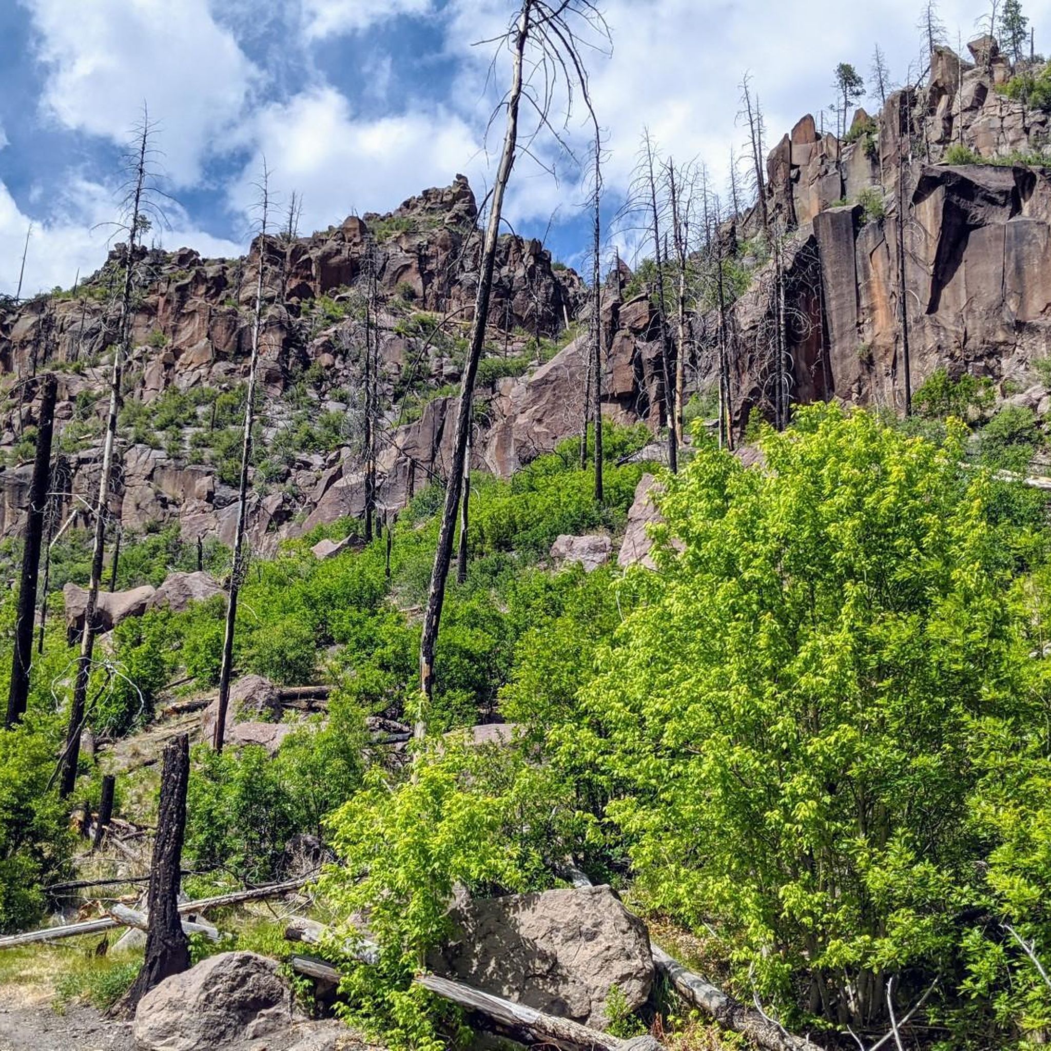
The Quemazon Trail is an excellent running and hiking trail on the westside of Los Alamos. It is typically run as a downhill trail accessed from either the Knapp/Los Alamos Canyon Trail or Pipeline Road, but it can be run uphill. The Quemazon Trail is a technical trail with stretches of flowy singletrack intermixed with rocks, ledges, and small drops to keep things interesting.
0
0
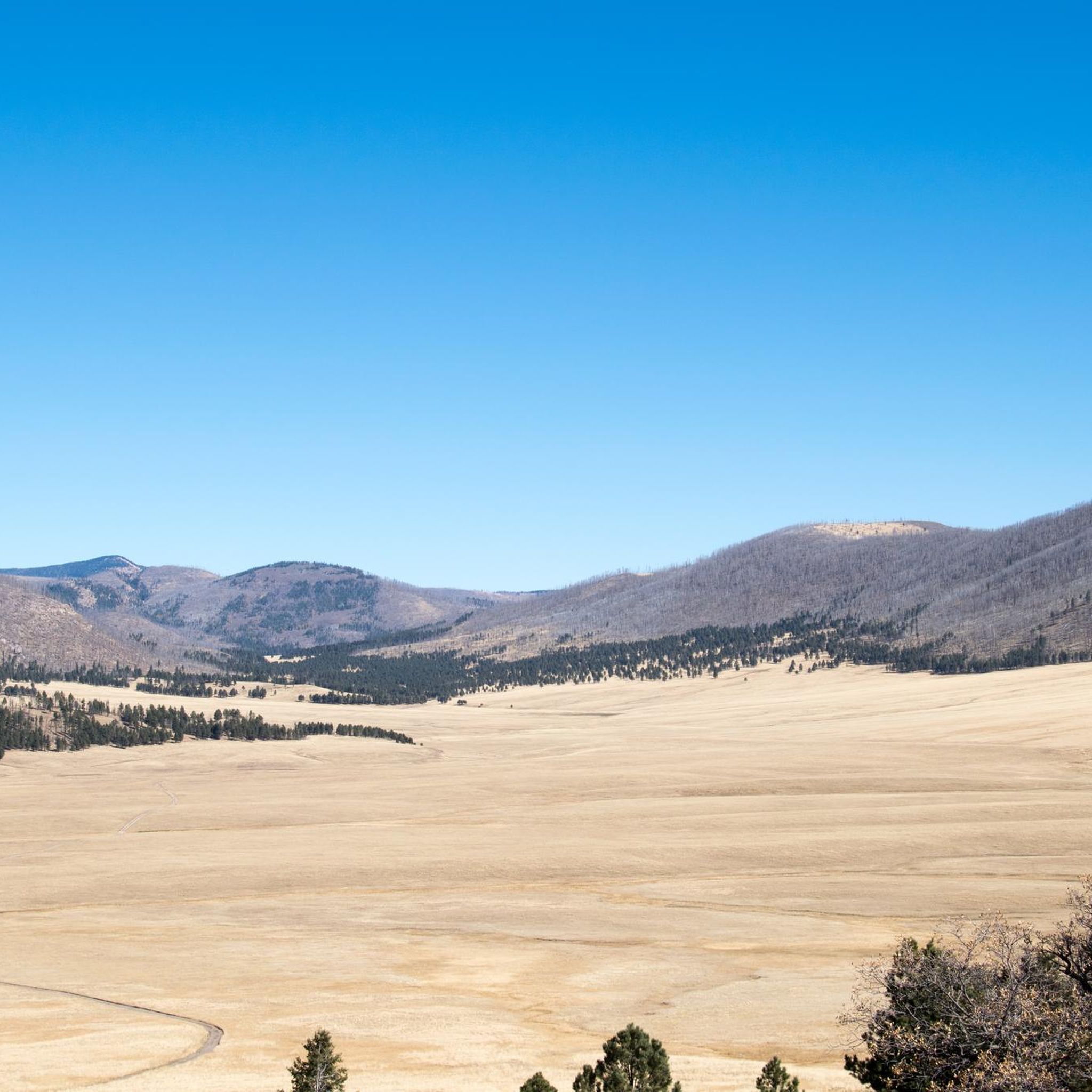
The Kwage Mesa Trail is an easy, flat trail that takes you out into the desert northeast of Los Alamos, New Mexico. Archeologists have found evidence of human activity on the Kwage (KWA-hee) Mesa, which is also known as the Pajarito Plateau, dating back over 10,000 years. This unique trail is a great place to run through both natural and human history close to town.
0
0
Explore the 1.2-mile Rendija Trail, a vital east-west link connecting numerous north-south trails. Beginning at Guaje Pines Cemetery, the trail offers diverse scenery. Be cautious as it is a flash-flooding zone; avoid it during severe thunderstorms or when there is significant water flow in the stream.
0
0

At the end of the Slot Canyon Trail is a nice overlook of the Kasha-Katuwe Tent Rocks. Here, runners can look down on the rock formations made 6 to 7 million years ago. Historically, there were massive volcanic eruptions that left pumice, ash, and tuff deposits over 1,000 feet thick. The Kasha-Katuwe Tent Rocks are the remnants of that volcanic activity that can be seen and studied today.
0
0
Kasha-Katuwe Tent Rocks National Monument is on public BLM land (Bureau of Land Management), and before arriving, visitors should check to see if the area is open at blm.gov/visit/kktr This area has impressive geological features, including cone-shaped tent rock formations. This area is open to foot traffic only, and the elevation of the area ranges from 5,570 feet to 6,760 feet above sea level.
0
0
Here you will find the trailhead for the Bayo Canyon Trail. The trail runs from the rotary next to Loma Linda Park to the bottom of Bayo Canyon. At the bottom of the canyon the trail levels out before turning into a dirt road that eventually leads out to the highway.
0
0
サンタクララ山脈でのの人気観光スポット

komootモバイルアプリでインスピレーションを得よう


さらに探索
他の地域の最高のランニングトレイル & ルートを見てみましょう。
