サングレデクリスト山脈のおすすめランニングルート
4.5
(4)
558
ランナー
83
ランニング
サングレデクリスト山脈でランニングを楽しめば、このエリアをより深く知ることができます。ランニングに適した美しいルートが見つかるように、komootがサングレデクリスト山脈でのルートのコレクション全体を評価して選び抜いた、人気ランニングトレイルをご紹介します。ルートをクリックして詳細を表示し、他のユーザーがアップロードした役立つ情報や写真を閲覧しましょう。
最終更新日: 8月 30, 2026
15
ランナー
4.01km
00:35
140m
140m
難しいジョギング. ある程度のフィットネスレベルが必要です。 安定して歩行できる技術、丈夫な靴、高標高地での登山経験が必要です。
13
ランナー
6.88km
00:49
40m
40m
中程度のジョギング. ある程度のフィットネスレベルが必要です。 全般的に舗装された状態です。あらゆるスキルレベルに適しています。

無料新規登録
7
ランナー
19.6km
02:42
1,160m
1,160m
難しいジョギング. 標準以上のフィットネスレベルが必要です。 安定して歩行できる技術、丈夫な靴、高標高地での登山経験が必要です。
6
ランナー
7.78km
01:12
290m
290m
難しいジョギング. ある程度のフィットネスレベルが必要です。 安定して歩行できる技術、丈夫な靴、高標高地での登山経験が必要です。
5
ランナー
37.3km
05:05
1,880m
1,880m
難しいジョギング. 標準以上のフィットネスレベルが必要です。 全般的に舗装された状態です。あらゆるスキルレベルに適しています。
5
ランナー
7.22km
01:00
250m
250m
難しいジョギング. ある程度のフィットネスレベルが必要です。 安定して歩行できる技術、丈夫な靴、高標高地での登山経験が必要です。
3
ランナー
17.8km
03:10
1,190m
1,190m
難しいジョギング. 標準以上のフィットネスレベルが必要です。 安定して歩行できる技術、丈夫な靴、高標高地での登山経験が必要です。
1
ランナー
16.4km
02:24
740m
740m
難しいジョギング. 標準以上のフィットネスレベルが必要です。 全般的に舗装された状態です。あらゆるスキルレベルに適しています。
1
ランナー
6.12km
00:55
180m
180m
難しいジョギング. ある程度のフィットネスレベルが必要です。 安定して歩行できる技術、丈夫な靴、高標高地での登山経験が必要です。
1
ランナー
11.8km
01:36
300m
300m
難しいジョギング. 標準以上のフィットネスレベルが必要です。 安定して歩行できる技術、丈夫な靴、高標高地での登山経験が必要です。
さらに多くのルートや他のユーザーのおすすめ情報を確認できます。
無料新規登録
すでにアカウントをお持ちですか?
おすすめのツアーは他のkomootユーザーが実際に経験した何千ものアクティビティに基づいています。
無料アカウントで今日から始めよう
次の冒険が待っています。
ログインまたは登録
サングレデクリスト山脈周辺で人気
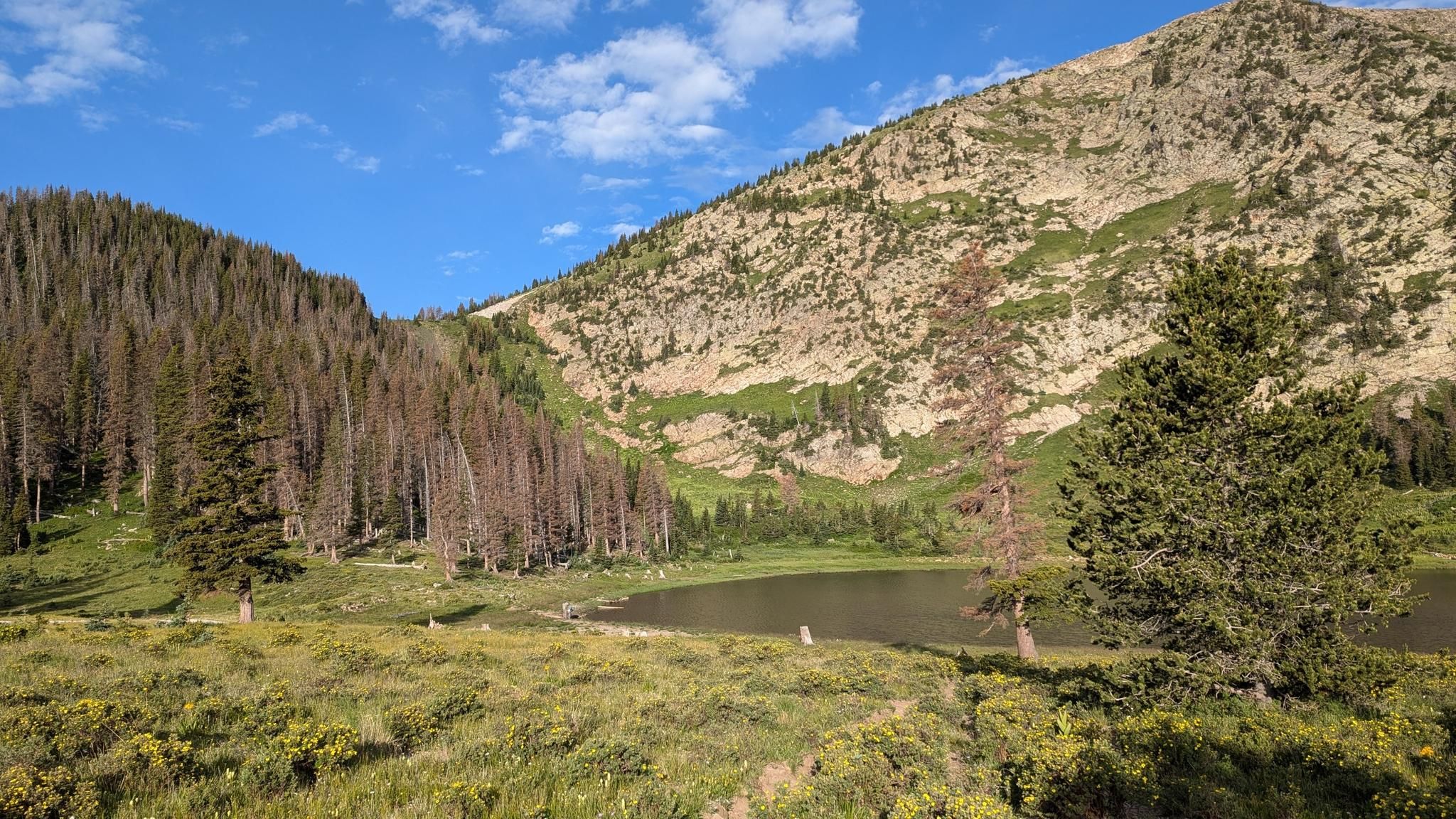




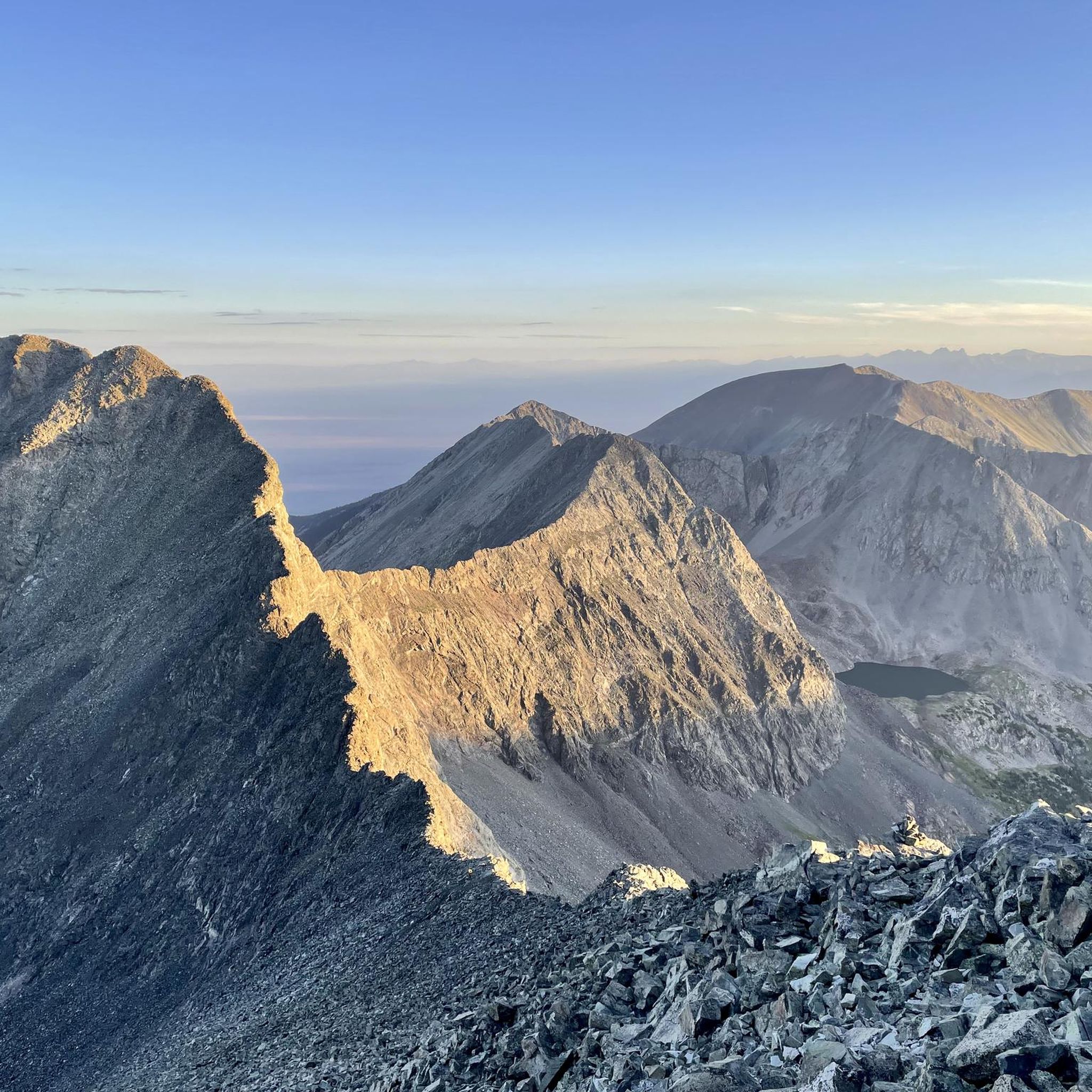
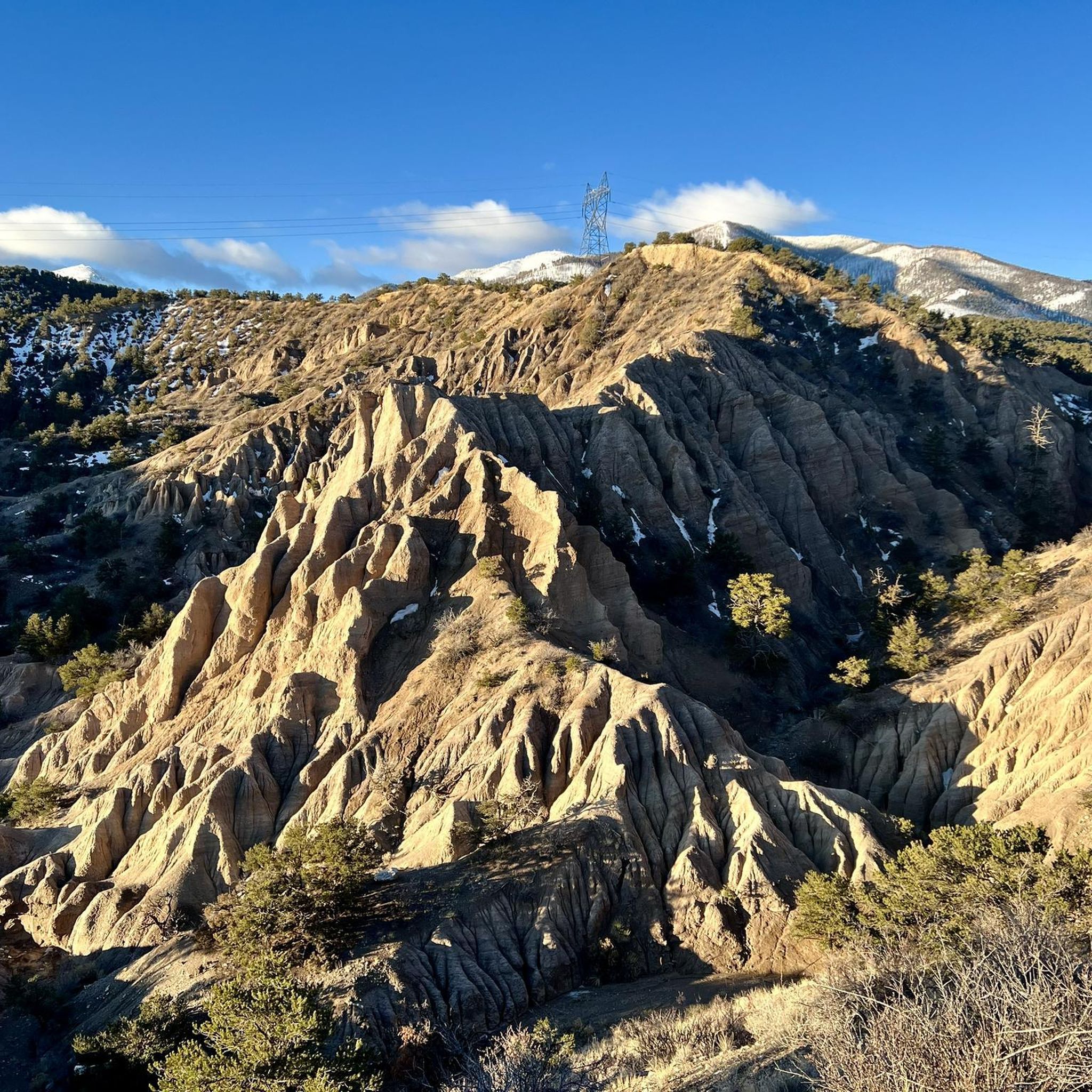
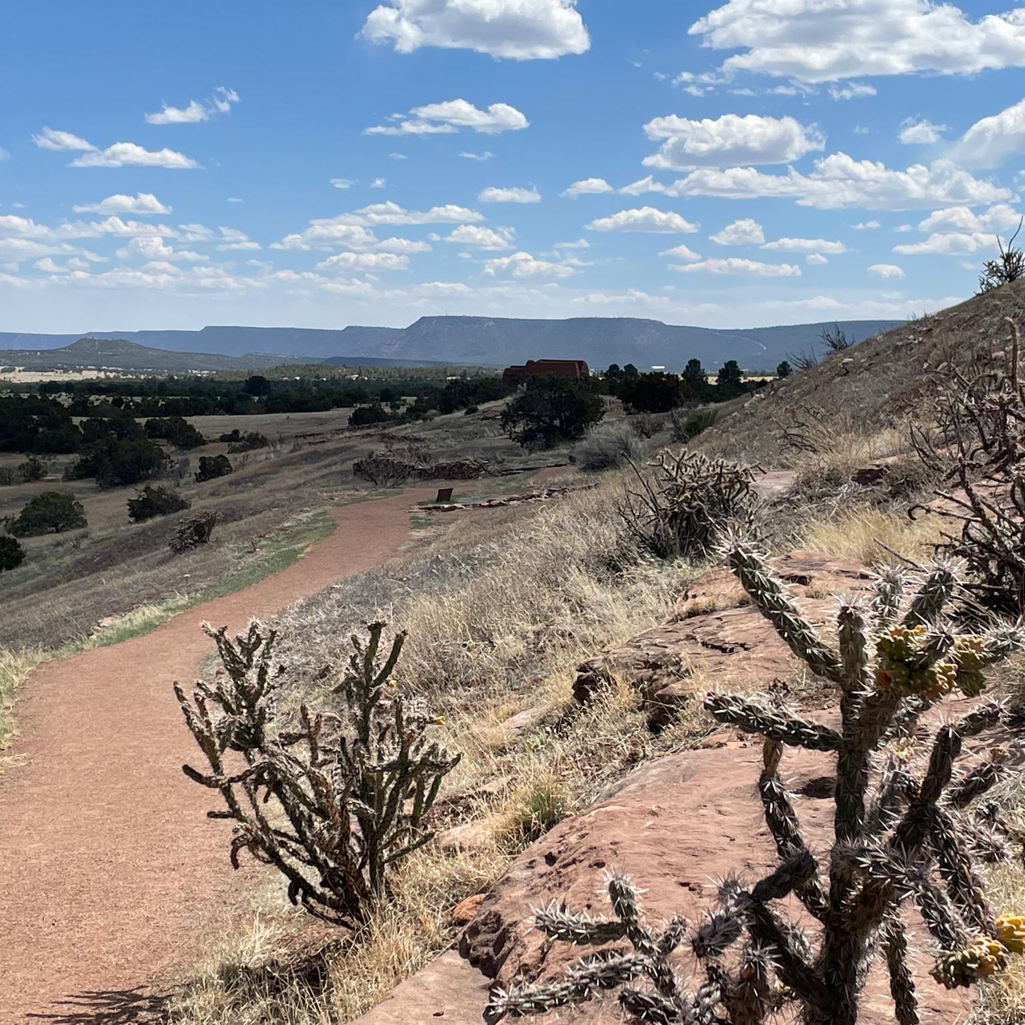

サングレデクリスト山脈でのの他の冒険


コミュニティからのヒント

From the top of Hermit Pass you get incredible views of both the east and west sides of the Sangre de Cristos. The Hermit Pass Road which leads up here from the east is a nontechnical climb on a semi-rocky road past an alpine lake and mountain peaks. The trail down the west side is a beautiful singletrack.
0
0
There is a gravel lot at the top of North Taylor Road. From here you can run south along the Rainbow Trail (doubletrack forest road) all the way down the foothills of the Sangre de Cristos or head up into the Mountains. You can run up to Lakes of the Clouds by going north, or head south along forest roads to reach the Hermit Pass ascent.
0
0

South Colony Lakes are at the base of Crestone Needle, giving you a privileged view of the peak, with green clear water surrounded by grass and a creek that flows from the lakes. This can be a good spot to camp before reaching the needle.
0
0
Close to Venable Trail, there's a short steadily steep trail to Venable Lakes, a group of small alpine lakes with fantastic views of Rio Grande National Forest.
0
0
Comanche Lake is a beautiful alpine lake in San Isabel National Forest. The trail to the lake is short, but can be rocky and steep; hiking poles are recommended to get down from the lake. Coming from Venable trail, you need to cross Phantom Terrace, a small ledge that connects the Comanche trail to Venable trail, this part seems to be more sketchy than it really is, you just need to have caution. The trail is better experienced between May and October due to snow and muddy conditions.
0
0
Venable Falls is a 30 ft waterfall tumbling down at least three tiers, the river flowing between ferns and pines. An amazing place to have some quiet time while enjoying the surroundings. While walking to Venable Trail, you can see how the valley was eroded due to intense power of water over time.
0
0
South Colony Lake is at the base of Crestone Needle, giving you a privileged view of the peak, with green clear water surrounded by grass and a creek that flows from the lake. It can be a good spot to camp before reaching the needle.
0
0
Highly challenging 14202 ft summit to reach in Sangre de Cristo Wilderness. Crestone Needle is considered a mountaineering route and requires proper climbing experience to get there. Expect incredible views of the San Isabel National Forest and Sangre de Cristo area.
0
0
サングレデクリスト山脈でのの人気観光スポット

komootモバイルアプリでインスピレーションを得よう


さらに探索
他の地域の最高のランニングトレイル & ルートを見てみましょう。
