ペリニー=シュル=ロワールのおすすめランニングルート
4.5
(3)
315
ランナー
39
ランニング
ペリニー=シュル=ロワールでランニングを楽しめば、このエリアをより深く知ることができます。ランニングに適した美しいルートが見つかるように、komootがペリニー=シュル=ロワールでのルートのコレクション全体を評価して選び抜いた、人気ランニングトレイルをご紹介します。ルートをクリックして詳細を表示し、他のユーザーがアップロードした役立つ情報や写真を閲覧しましょう。
最終更新日: 10月 18, 2026
25
ランナー
4.67km
00:35
50m
50m
初級者向けランニング. あらゆるフィットネスレベルに適しています。 全般的に舗装された状態です。あらゆるスキルレベルに適しています。
8
ランナー
13.9km
01:27
30m
30m
中程度のジョギング. ある程度のフィットネスレベルが必要です。 全般的に舗装された状態です。あらゆるスキルレベルに適しています。

8
ランナー
7.42km
00:46
20m
20m
中程度のジョギング. ある程度のフィットネスレベルが必要です。 全般的に舗装された状態です。あらゆるスキルレベルに適しています。
4
ランナー
8.52km
00:55
90m
90m
中程度のジョギング. ある程度のフィットネスレベルが必要です。 全般的に舗装された状態です。あらゆるスキルレベルに適しています。
5
ランナー
15.6km
01:50
370m
370m
難しいジョギング. 標準以上のフィットネスレベルが必要です。 全般的に舗装された状態です。あらゆるスキルレベルに適しています。
さらに多くのルートや他のユーザーのおすすめ情報を確認できます。
すでにアカウントをお持ちですか?
おすすめのツアーは他のkomootユーザーが実際に経験した何千ものアクティビティに基づいています。
無料アカウントで今日から始めよう
次の冒険が待っています。

コミュニティからのヒント

The Signal de Mont is located at an altitude of 469 meters. The observation tower is 12 meters high and offers a 360° panorama of the rolling Burgundy landscape. You can decipher the view thanks to the eight orientation tables. At the foot of the tower, you will find the remains of a World War II aircraft defense post.
0
0


Between Gilly-sur-Loire and Diou, this road bridge spans the Loire and offers beautiful views of the river.
0
0

In the middle of the vineyards of the Burgundy region, the Château de Saint-Aubin is a wine estate that offers tastings and tours of its vineyard, planted with Chardonnay. For those who wish to rest there, four guest rooms are available.
2
0
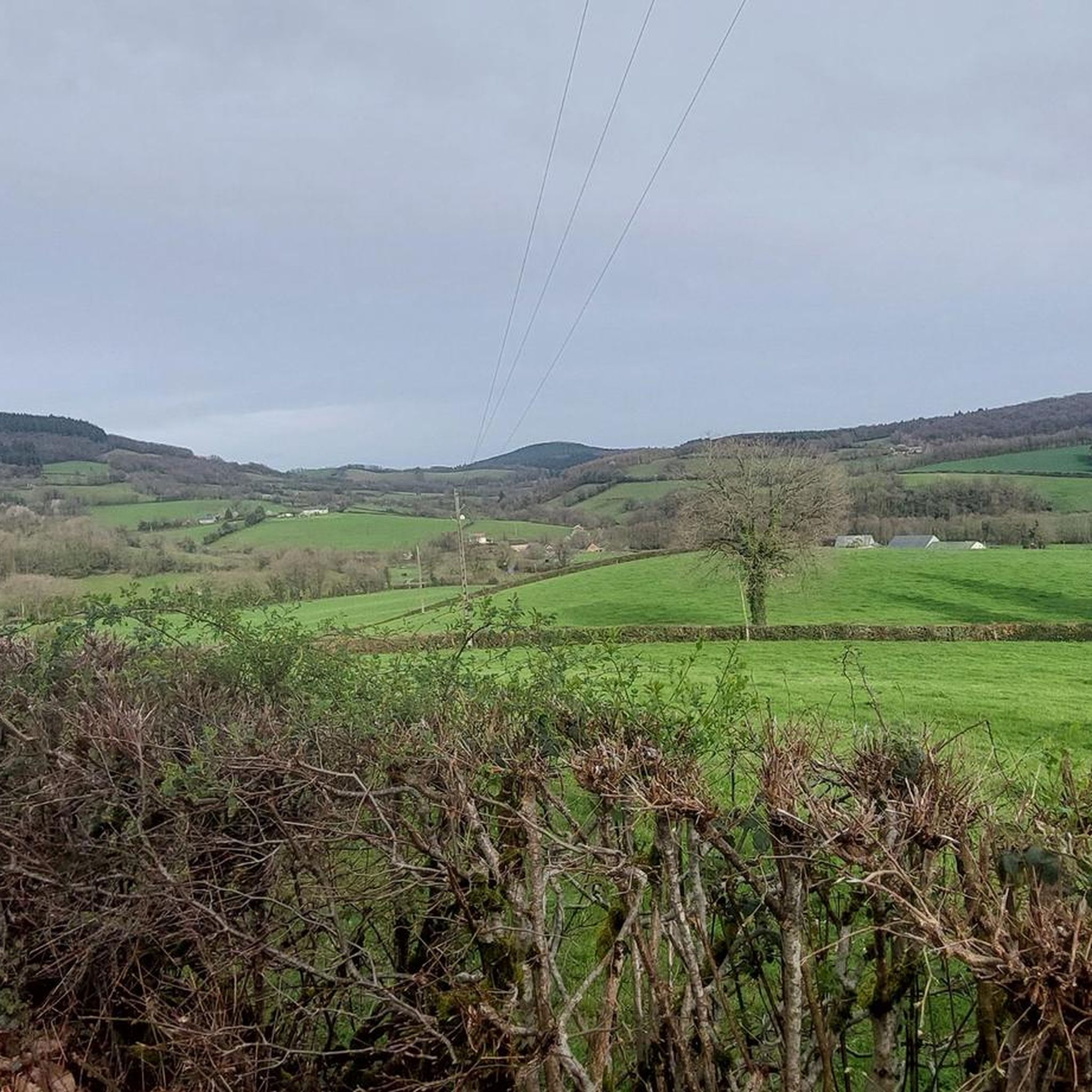
The Bois de la Teugne is a beautiful forest area that is home to a mixture of deciduous and thorny trees. In the middle of the wood, the Signal de Mont culminates at 469 meters above sea level.
1
0
At 469 meters above sea level, the Signal de Mont is one of the remarkable peaks of southern Burgundy. A belvedere as well as an orientation table allow a beautiful reading of the surrounding countryside.
1
0

ペリニー=シュル=ロワールでのの人気観光スポット

komootモバイルアプリでインスピレーションを得よう


さらに探索
他の地域の最高のランニングトレイル & ルートを見てみましょう。
