エスクルーブル周辺のアトラクション&必見スポット - トップ20
エスクルーブルには必見のスポットがたくさんあります。ハイキング愛好家やサイクリング愛好家の方は、ぜひエスクルーブルを探索してこのエリアにある20
の隠れたスポットを訪れてみてください。このエリアの必見スポットを確認し、次の冒険に出かける計画を立てましょう。
最終更新日: 10月 9, 2026
コル・ド・パイエール
ハイライト • 山道
翻訳者 Google •
役立つ情報 は

コル・ド・ラ・クレウ
ハイライト • 山道
翻訳者 Google •
役立つ情報 は

今すぐサインアップして、こんな場所を発見しよう
最高のシングルトラック、ピーク、その他のエキサイティングなアウトドアスポットのおすすめを受け取ろう。
ミジャネの牧草地避難小屋
ハイライト • その他
翻訳者 Google •
役立つ情報 は

コル・デュ・ガラヴェル(1256m)
ハイライト • 山道
翻訳を表示中
役立つ情報 は


無料アカウントで今日から始めよう
次の冒険が待っています。


コミュニティからのヒント

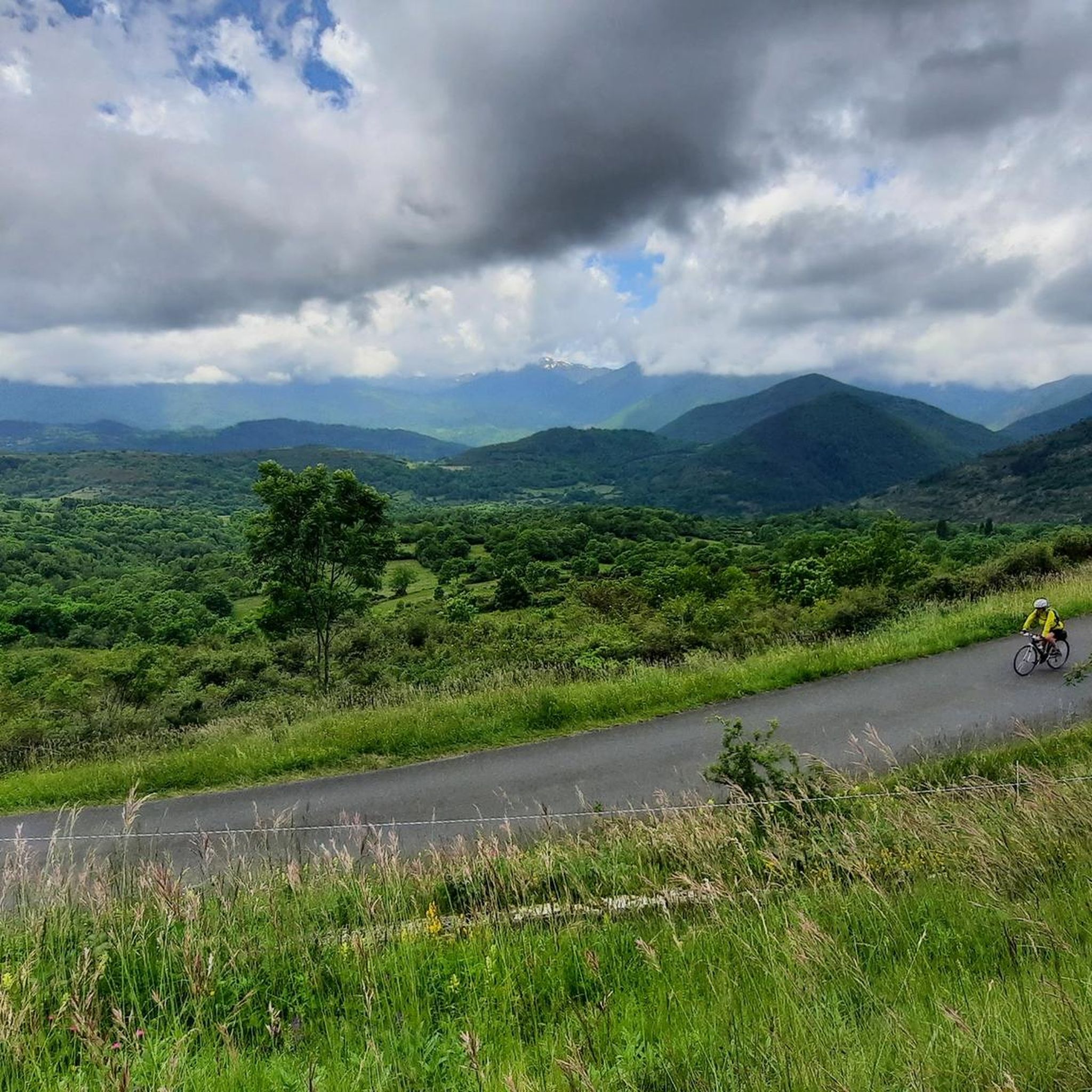
This spot is the same as the parking lot and the building of the Mijanès ski resort. I'll tell you about several interesting points about this place: - During the winter months, when the ski resort is open, there is a bar serving food. I'm mentioning this in case anyone is interested in climbing Port de Pailhères during these months. - This is where the road from Mijanès ends, and it is cleared when there is snow. During the winter months, there is a large barrier that prohibits the passage of cars and motorcycles, but it can be easily crossed by bike. If the barrier is down and you decide to climb by bike, keep in mind that you may encounter sections of the road with real mountains of snow. - From this point on, during the summer months, in addition to enjoying the road and the pass, you will constantly see herds of horses and cows. This is especially notable on sunny days in June and July.
0
0


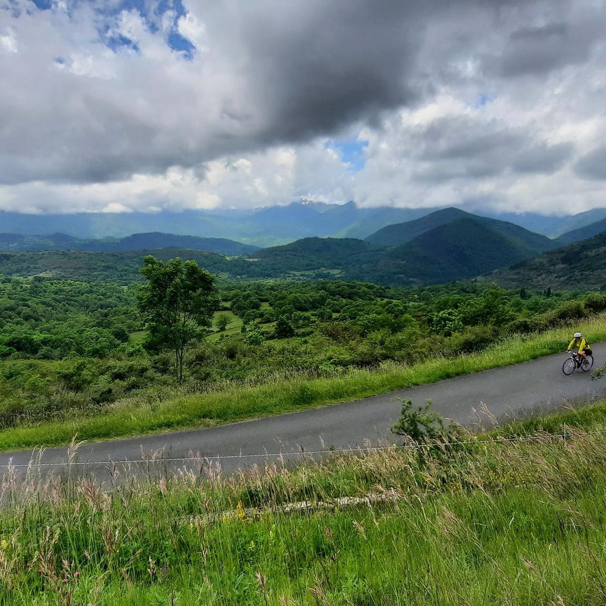
From Axat, it's a long climb, 18km. It's quite beautiful down in the gorges, then a few kilometers of fairly monotonous woods. Arriving on the plateau, it clears up but it's rural. The impressive view is worth it when you reach the pass. Going down there must be a blast, the tarmac is good, it's quite wide and there's little traffic. I went down via Escouloubre: the tarmac is bad, gravel, but the forest is enchanting! Why not go the other way, then, up via Escouloubre and down via Bousquet / Roquefort etc.?
1
0
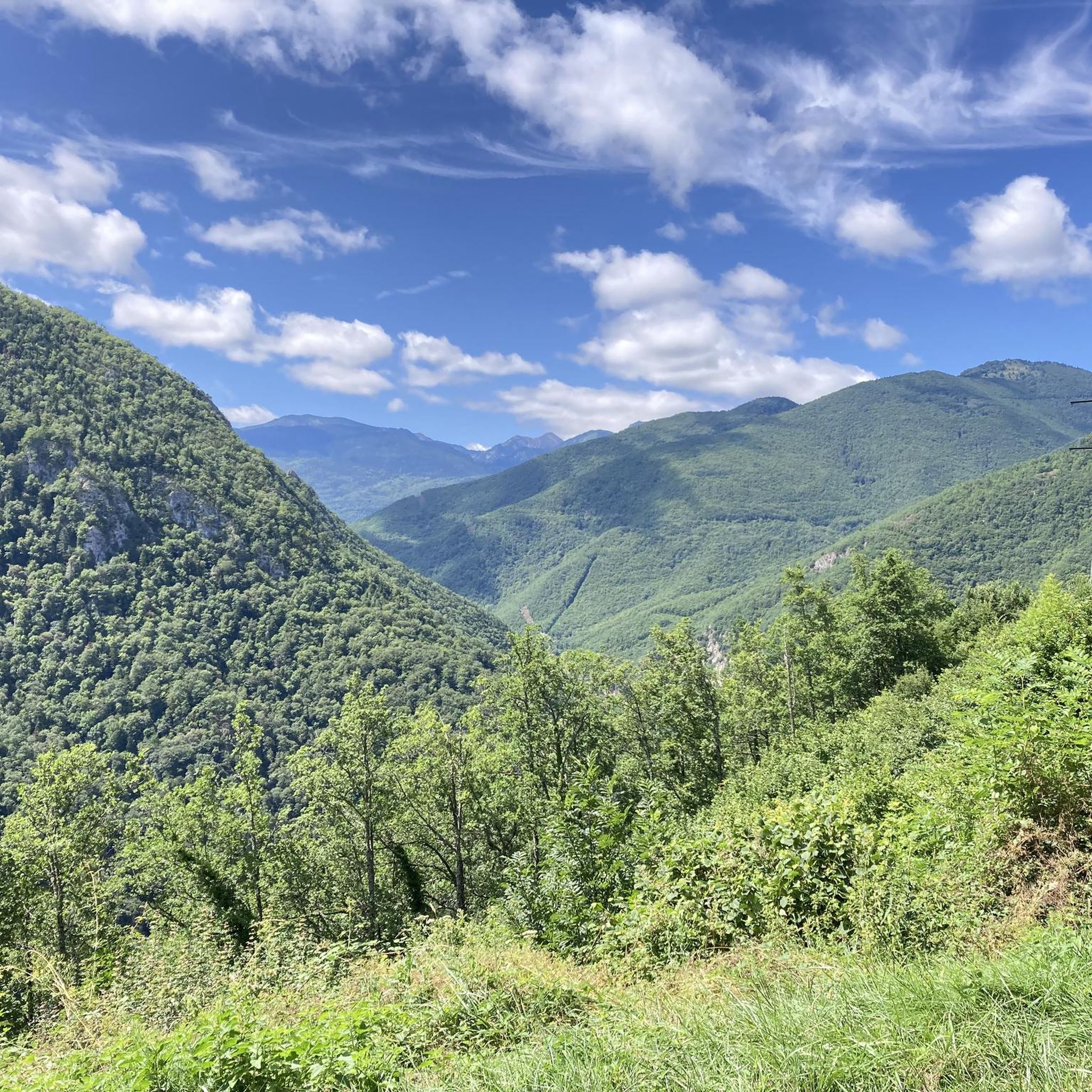
My experience on this stretch was downhill, once I reached the top of the Col des Aychides. It is a narrow road with uneven asphalt, where you have to be careful, although I have to admit that I found it beautiful and very fun. Although there is a considerable precipice on the left, I was not scared at any time. You go through a couple of small tunnels dug into the mountain, which gives it a lot of charm. It is a beautiful stretch.
1
0
It is a simply spectacular port that unites the regions of Conflent and Capcir. It is one of the most beautiful ports in the easternmost Pyrenees. It is very close to the Col de la Llosa, and you can take a circular route that is known as the "Route des Cols". It is also indicated on nearby road signs. The hardest slope is the one that begins in Olette (Conflent) and goes up through Aiguatèbia. There are almost 22 km of ascent and 1,089 meters of elevation gain. It has 3 very different zones: (1) the first is a constant 5 km at 7%; (2) the second is 10 km at 4% and with some very pleasant rest areas, with beautiful views; (3) The final part is 6 km on average at 7%, since it passes the town of Railleu, although the hard part is the last 3 km, with several ramps that exceed 10%. The road is narrow and has uneven asphalt, with hardly any cars and motorcycles. For me, the final part of this port is truly spectacular and should not be missed. The west slope begins in the town of Matamala (Capcir) and is 3 km with an average of close to 8%. It is a long irregular stretch along a narrow and very quiet road, with panoramic views of the valley when the thick black pine forest gives some opportunity.
0
0

A little disappointing: the pass is in the middle of the forest and offers no view. The climb from (and to!) Railleu is nevertheless superb. A nice picnic area to have a bite to eat.
1
0

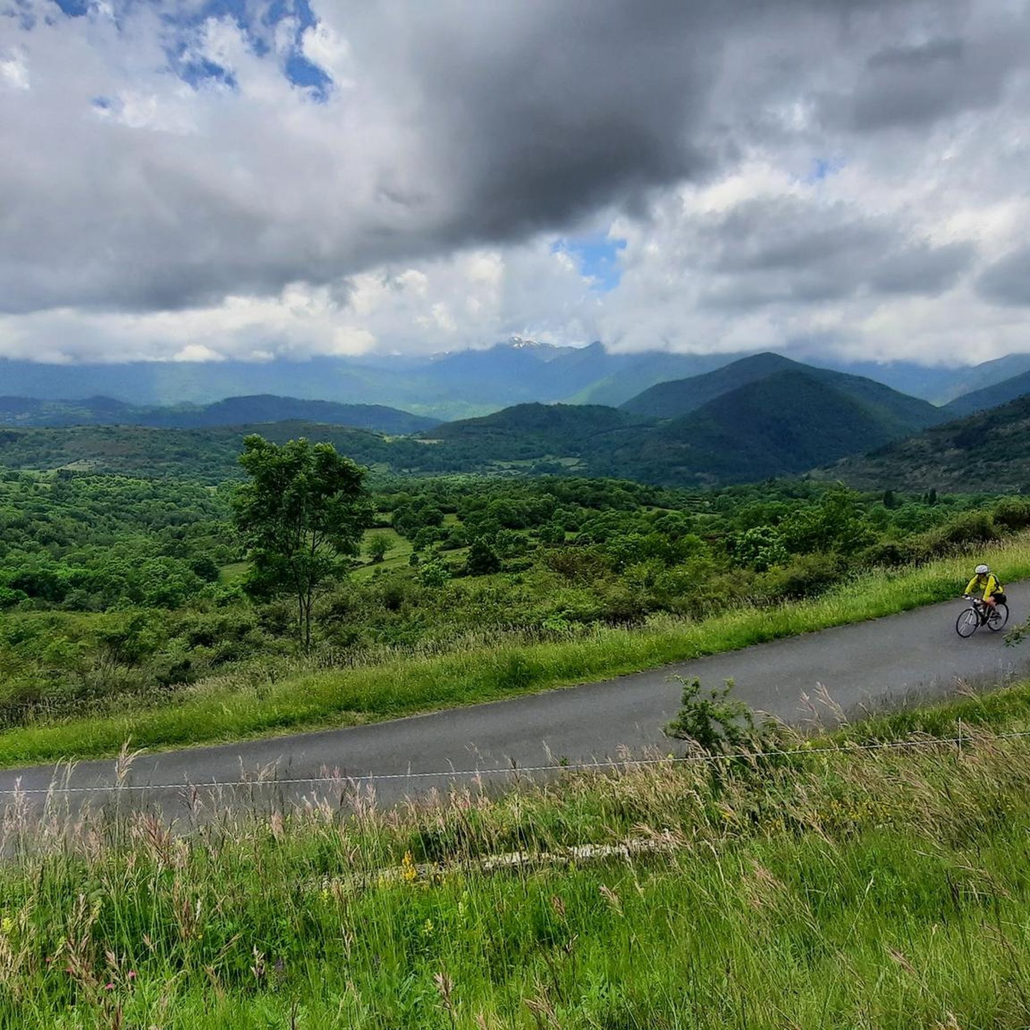
One of the best experiences on my entire tour. I have this picture with the view of the mountains as my screen background. The roads are still closed, the snow is piled up meters high on the sides and at the same time there is not a single car on the road. Simply fantastic
1
0

What more could you want, good road, decent, long climb
0
0
エスクルーブルでのの人気観光スポット

komootモバイルアプリでインスピレーションを得よう


さらに探索
まだ探しているハイライトが見つかりませんか?他の地域のトップアトラクションのガイドを見てみましょう:
