ブリエンツ(BE)のおすすめランニングルート
4.3
(19)
679
ランナー
26
ランニング
ブリエンツ(BE)でランニングを楽しめば、このエリアをより深く知ることができます。ランニングに適した美しいルートが見つかるように、komootがブリエンツ(BE)でのルートのコレクション全体を評価して選び抜いた、人気ランニングトレイルをご紹介します。ルートをクリックして詳細を表示し、他のユーザーがアップロードした役立つ情報や写真を閲覧しましょう。
最終更新日: 9月 12, 2026
4.0
(4)
63
ランナー
7.59km
00:47
30m
20m
中程度のジョギング. ある程度のフィットネスレベルが必要です。 全般的に舗装された状態です。あらゆるスキルレベルに適しています。
4.5
(2)
142
ランナー
7.44km
00:47
20m
20m
中程度のジョギング. ある程度のフィットネスレベルが必要です。 全般的に舗装された状態です。あらゆるスキルレベルに適しています。

22
ランナー
30.0km
03:12
230m
230m
難しいジョギング. 標準以上のフィットネスレベルが必要です。 全般的に舗装された状態です。あらゆるスキルレベルに適しています。
22
ランナー
8.16km
00:58
230m
230m
難しいジョギング. ある程度のフィットネスレベルが必要です。 安定して歩行できる技術、丈夫な靴、高標高地での登山経験が必要です。
20
ランナー
8.30km
00:56
140m
140m
中程度のジョギング. ある程度のフィットネスレベルが必要です。 全般的に舗装された状態です。あらゆるスキルレベルに適しています。
さらに多くのルートや他のユーザーのおすすめ情報を確認できます。
すでにアカウントをお持ちですか?
おすすめのツアーは他のkomootユーザーが実際に経験した何千ものアクティビティに基づいています。
無料アカウントで今日から始めよう
次の冒険が待っています。
ブリエンツ(BE)周辺で人気
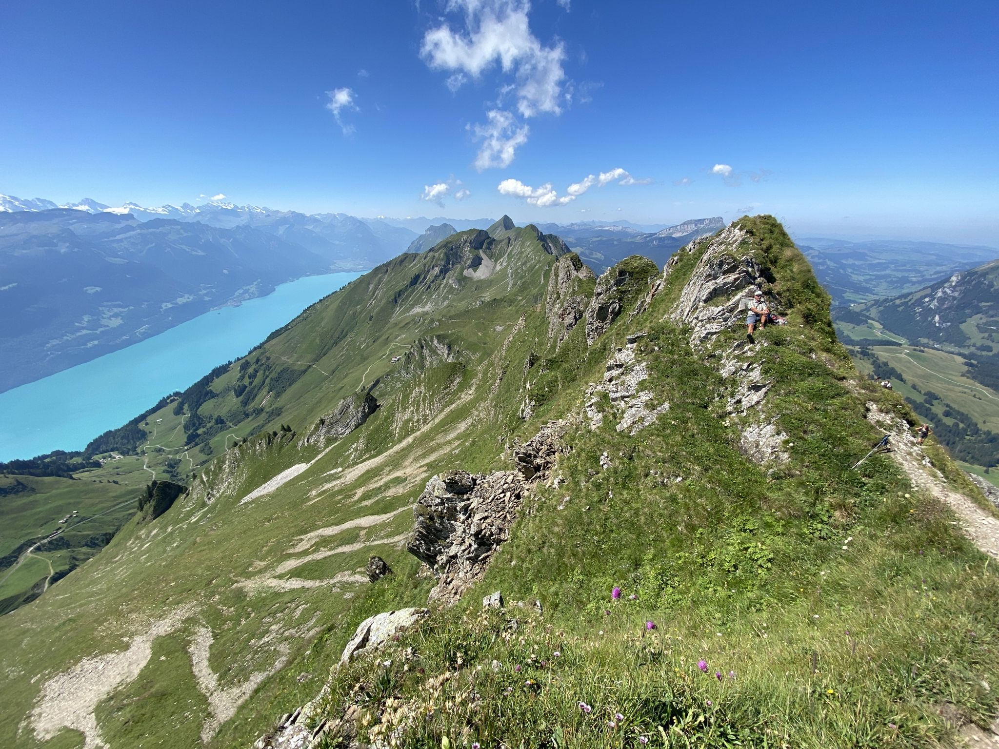
バーンとルツェルンの間をハイキング - ナプフベルクラント境界トレイル
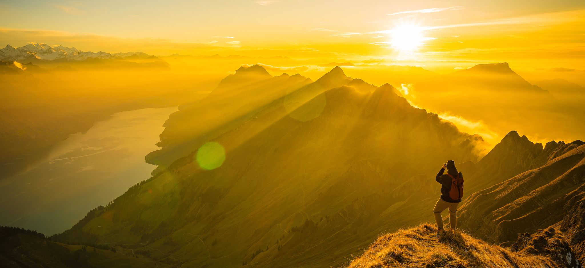
Mighty peaks and turquoise lakes – hiking in Interlaken in Switzerland
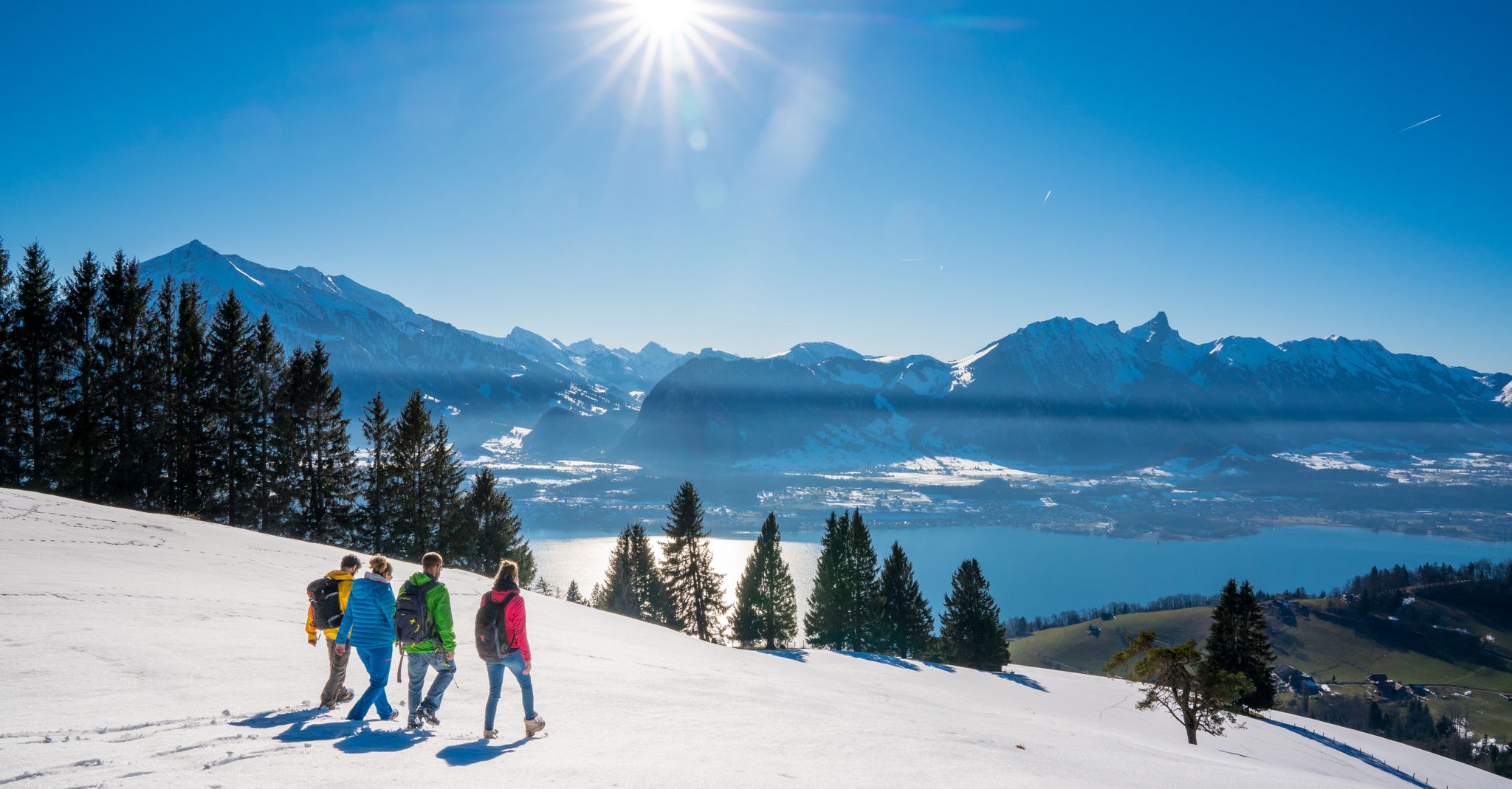
Let it snow! Winter hikes in the Bernese Oberland
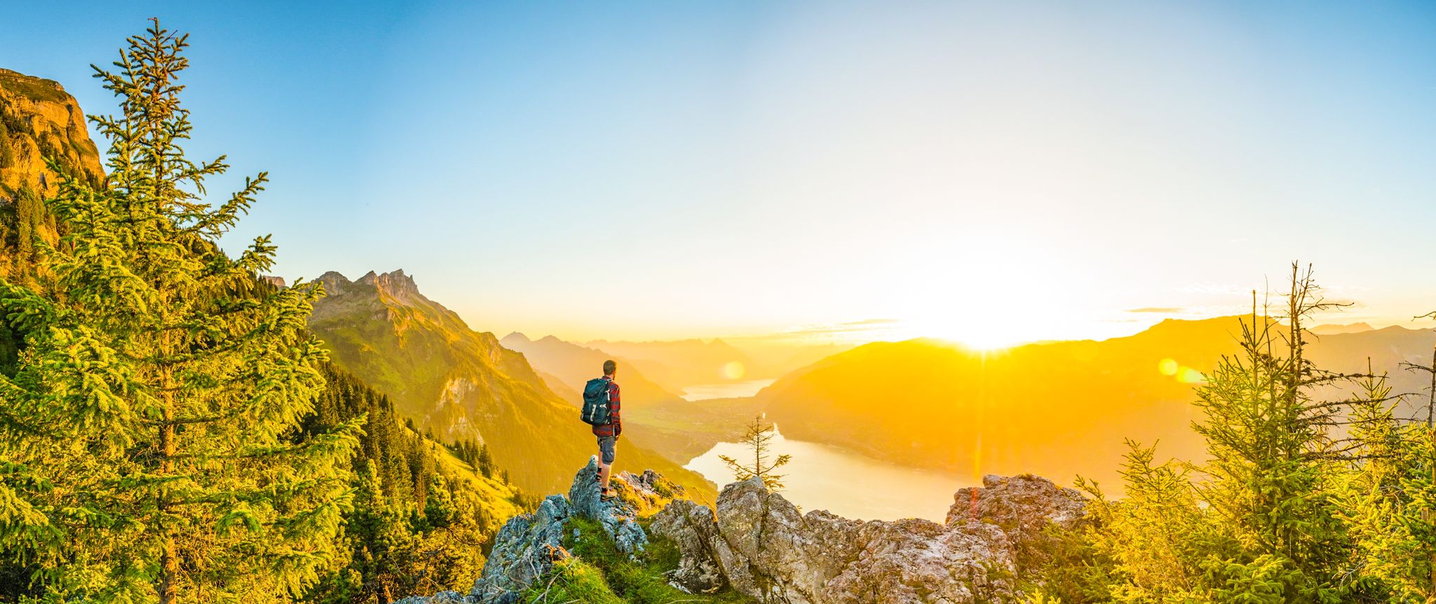
Magnificent Bernese Oberland – Hiking around Interlaken
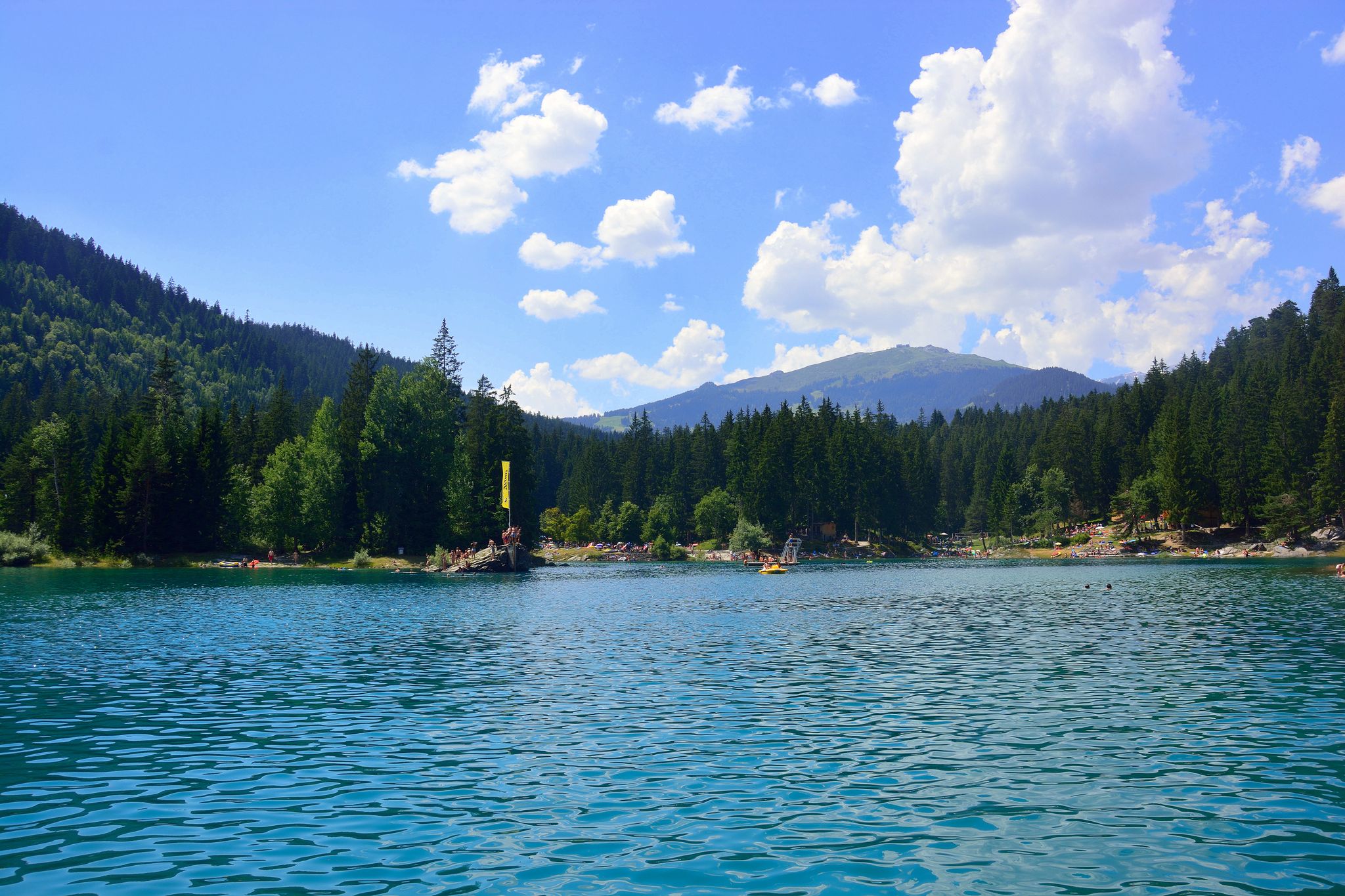
The most beautiful swimming lakes in Switzerland
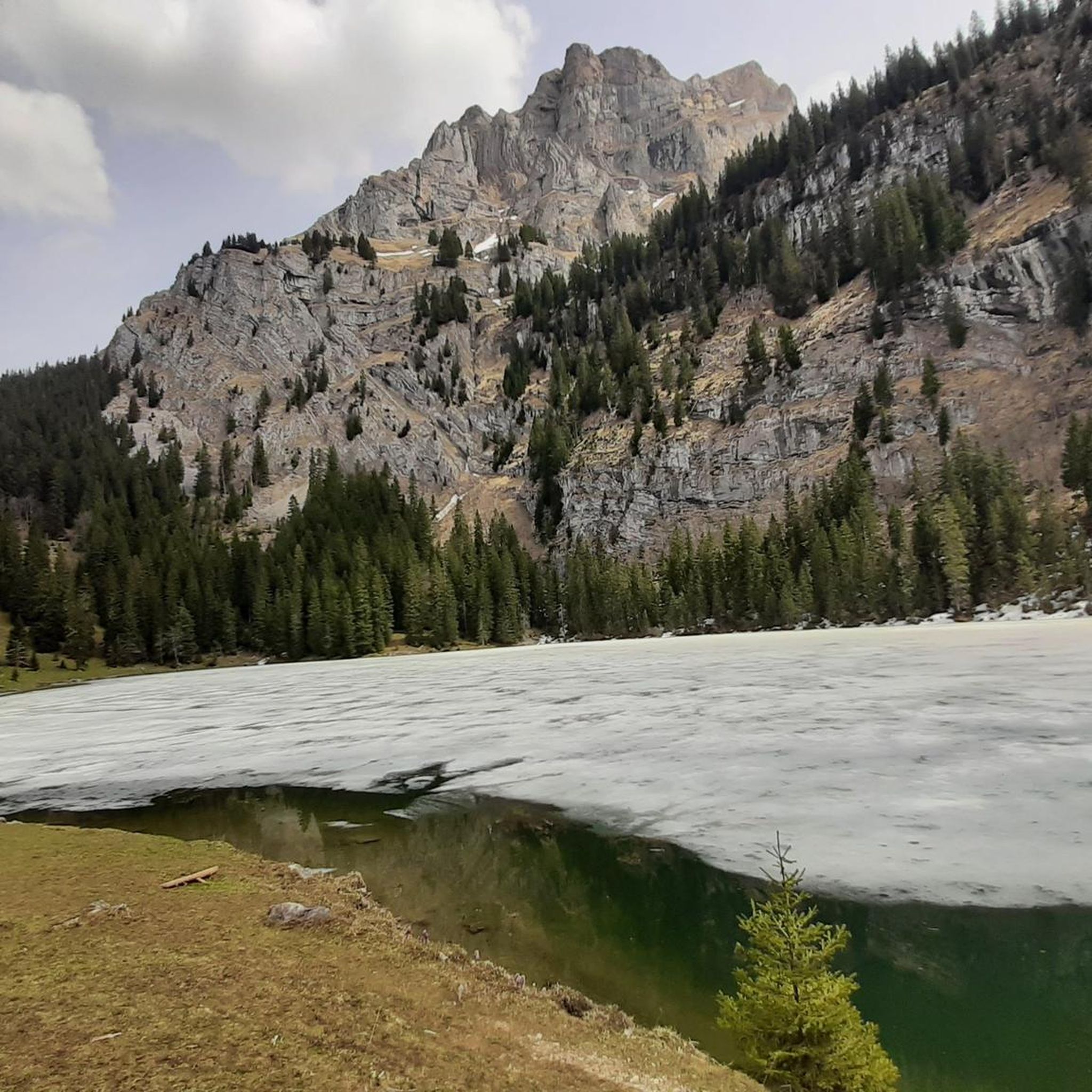
ブリエンツ(BE)でのハイキング
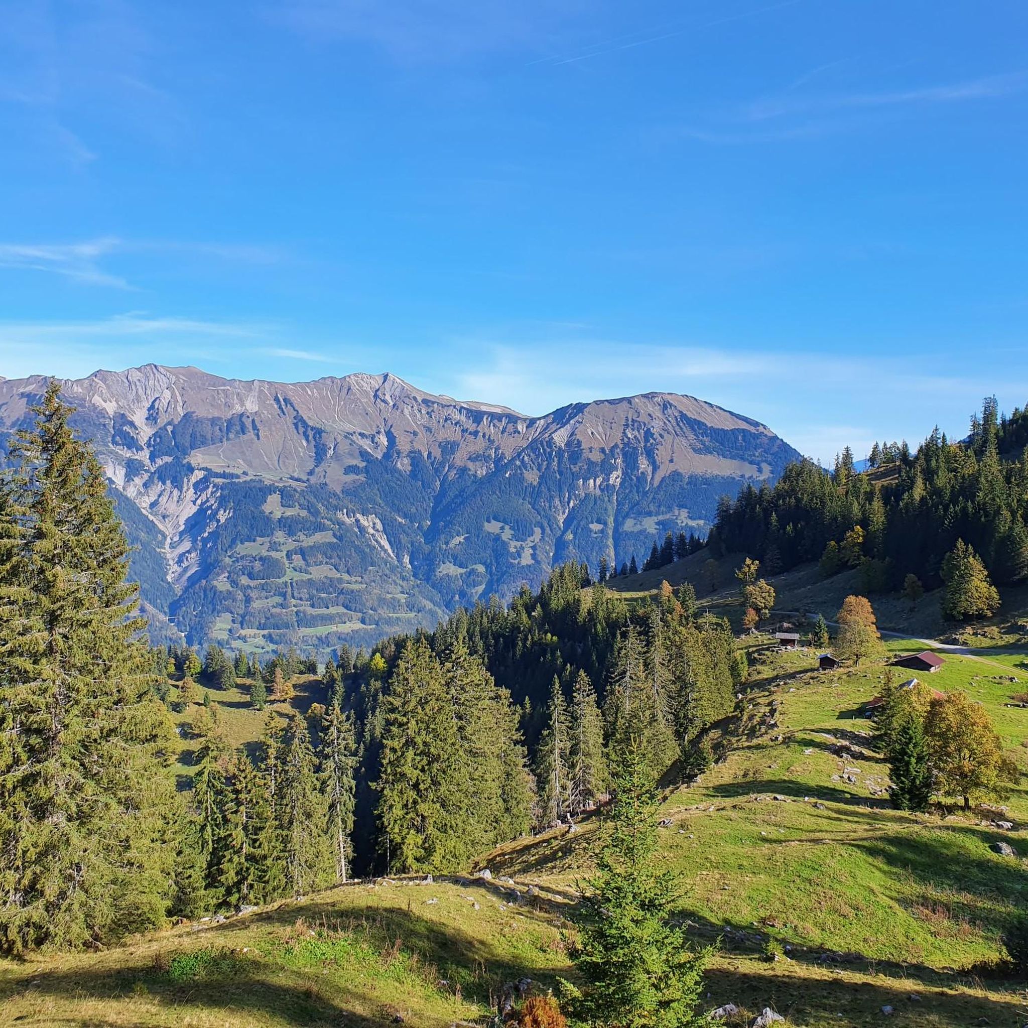
ブリエンツ(BE)でのサイクリング
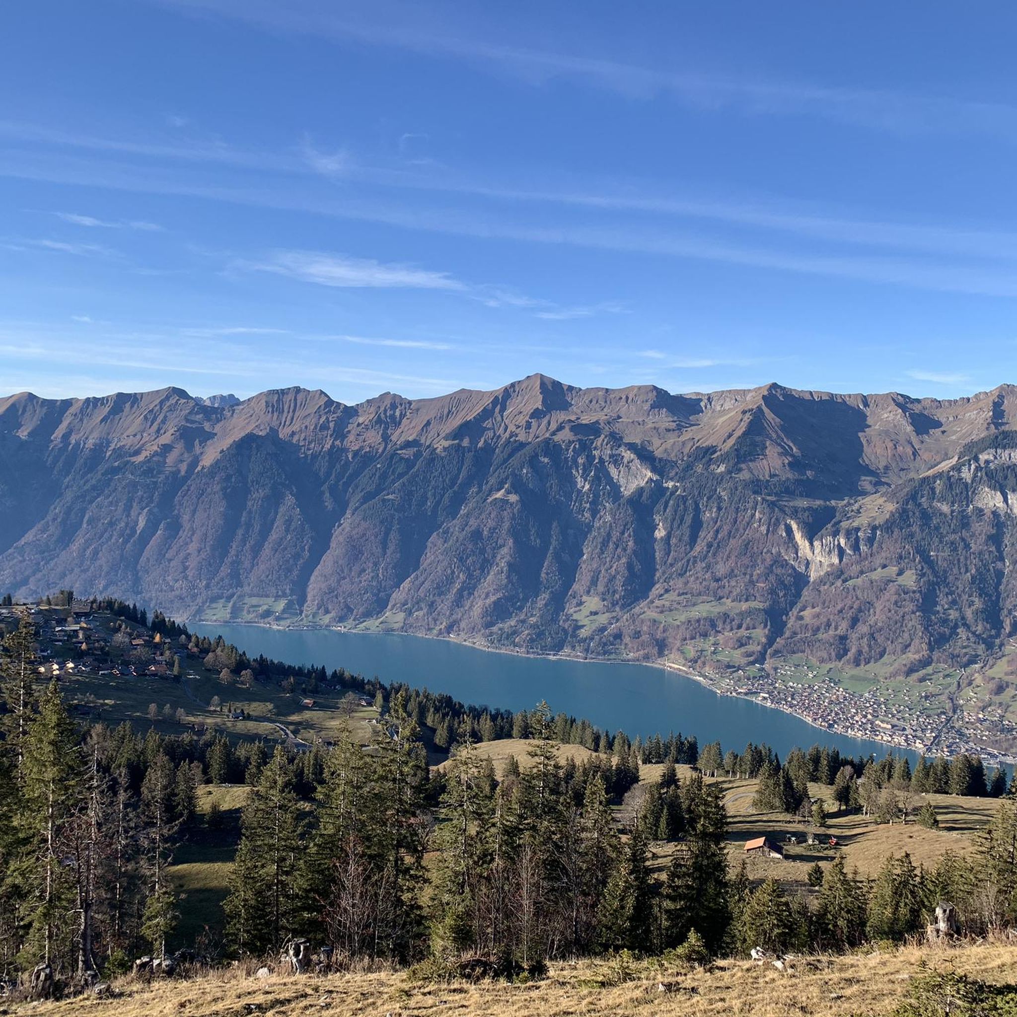
ブリエンツ(BE)のロードバイクルート
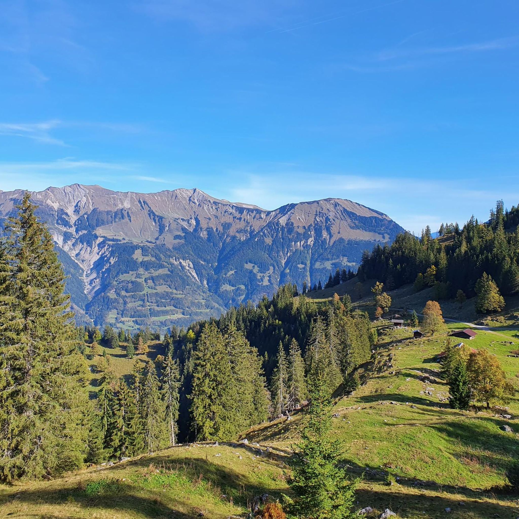
ブリエンツ(BE)のMTBトレイル
ブリエンツ(BE)での登山&山歩き
ブリエンツ(BE)でのの他の冒険


コミュニティからのヒント

An incredibly vibrant emerald green color under the right lighting conditions.
1
0
The waterfront promenade is a real highlight. And it's not yet overrun with tourists.
0
0


Very nice restaurant at the pool for a relaxing break. 🥰
2
0

Lake Brienz Lake Brienz is located in the Bernese Oberland between the communities of Interlaken in the west and Brienz in the east. The lake area is located in the communities of Ringgenberg, Niederried, Oberried and Brienz on the northern shore of the lake and Interlaken, Bönigen and Iseltwald on the southern shore. The large Bernese Oberland lake is fed by many mountain streams, mainly by the Aare in the east and the Lütschine in the west. At Interlaken, the Aare flows out of the turquoise-blue Lake Brienz and flows back into Lake Thun a little later in the Weissenau area. At normal water levels, the lake is at an altitude of 564 meters above sea level. With an area of almost 30 square kilometers, Lake Brienz is the eleventh largest lake in Switzerland and the third largest in the canton of Bern after Lake Thun and Lake Biel. It stretches 14km in an east-west direction and is almost three kilometers wide. There is only one island in Lake Brienz. The snail island - dialect: Schnäggeninseli - is located around 250m from the shore near Iseltwald. The circumference of Lake Brienz is almost 35km. The annual Lake Brienz Run circles the lake along the shore. Text / Source: Schweizersee.ch https://www.schweizersee.ch/brienzersee/
12
0
Swimming in Lake Brienz The clear but often cold Lake Brienz offers only a few wild bathing spots due to the steep slopes, but is considered the cleanest lake in Switzerland. There are four lidos spread around the lake. These are the Niederried outdoor pool, the Bönigen lido, the Iseltwald lido and the Brienz lido. An overview of the four lidos can be found here: «Lake Brienz lidos». If you need warmer temperatures for your bathing fun, the nearby Burgseeli in Ringgenberg is recommended. Text / Source: Schweizersee.ch https://www.schweizersee.ch/brienzersee/
12
0

Cycling through, you can’t miss the spectacular view of the Oltschibach Waterfall, a mesmerizing natural spectacle, where water cascades down a rugged cliff, with lush vegetation as a backdrop. As you pass through the Hasli Valley, the mighty falls plunge over 100 meters, creating a mist that fills the air with refreshing coolness.
0
0


komootモバイルアプリでインスピレーションを得よう


さらに探索
他の地域の最高のランニングトレイル & ルートを見てみましょう。
