シルヴァプラーナのおすすめランニングルート
4.7
(45)
4,003
ランナー
49
ランニング
シルヴァプラーナでランニングを楽しめば、このエリアをより深く知ることができます。ランニングに適した美しいルートが見つかるように、komootがシルヴァプラーナでのルートのコレクション全体を評価して選び抜いた、人気ランニングトレイルをご紹介します。ルートをクリックして詳細を表示し、他のユーザーがアップロードした役立つ情報や写真を閲覧しましょう。
最終更新日: 10月 22, 2026
4.3
(3)
759
ランナー
17.3km
01:52
200m
200m
難しいジョギング. 標準以上のフィットネスレベルが必要です。 安定して歩行できる技術、丈夫な靴、高標高地での登山経験が必要です。
459
ランナー
17.2km
01:49
140m
140m
難しいジョギング. 標準以上のフィットネスレベルが必要です。 ほとんどが舗装路です。

4.8
(4)
429
ランナー
12.0km
01:15
110m
110m
中程度のジョギング. ある程度のフィットネスレベルが必要です。 ほとんどが舗装路です。
4.5
(2)
222
ランナー
21.5km
02:23
280m
280m
難しいジョギング. 標準以上のフィットネスレベルが必要です。 ほとんどが舗装路です。
4.8
(4)
364
ランナー
10.5km
01:08
110m
110m
中程度のジョギング. ある程度のフィットネスレベルが必要です。 ほとんどが舗装路です。
さらに多くのルートや他のユーザーのおすすめ情報を確認できます。
すでにアカウントをお持ちですか?
おすすめのツアーは他のkomootユーザーが実際に経験した何千ものアクティビティに基づいています。
無料アカウントで今日から始めよう
次の冒険が待っています。
シルヴァプラーナ周辺で人気
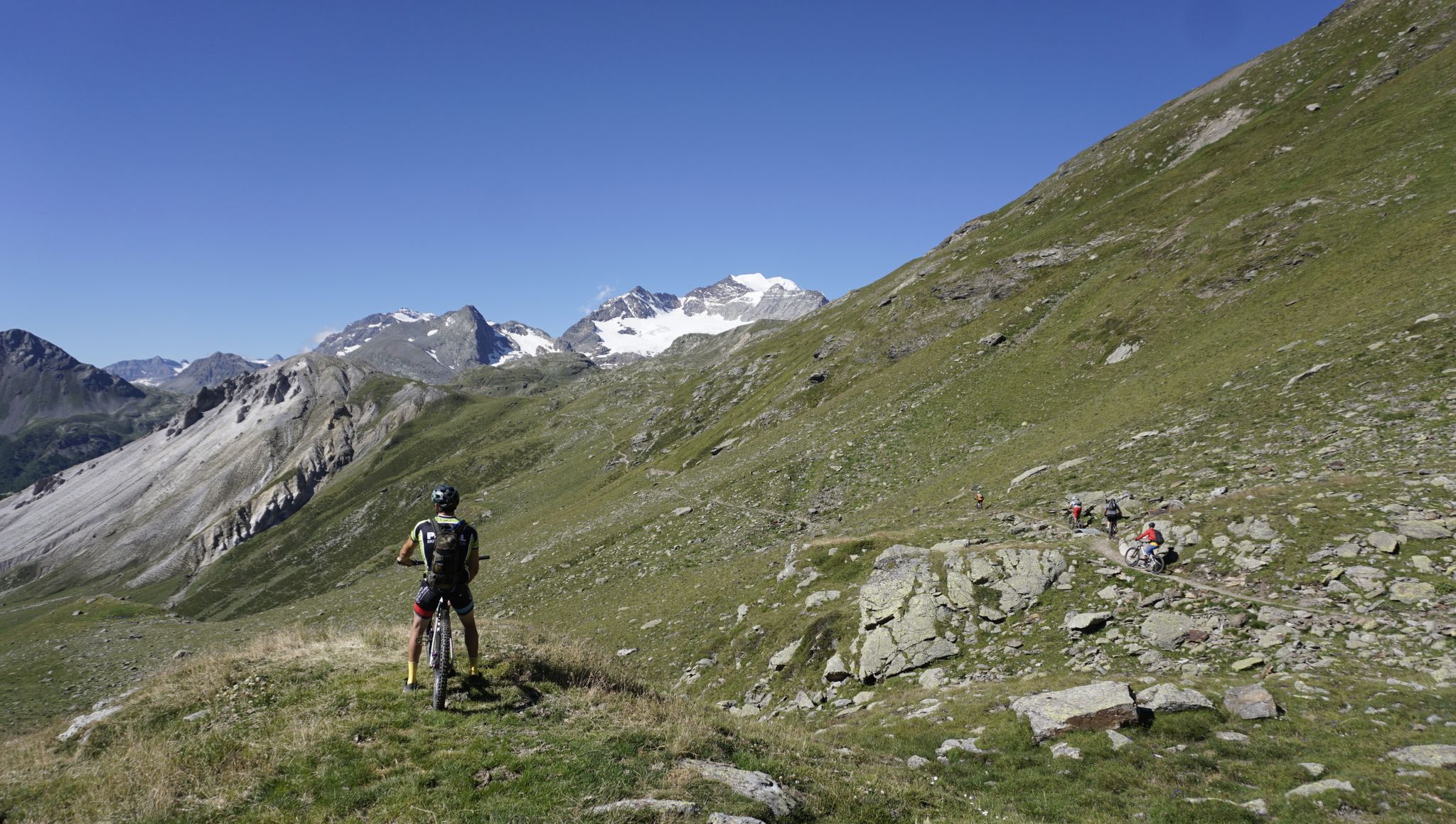
ツグシュピッツからコモ湖まで - MTBトランサルプ コモ湖
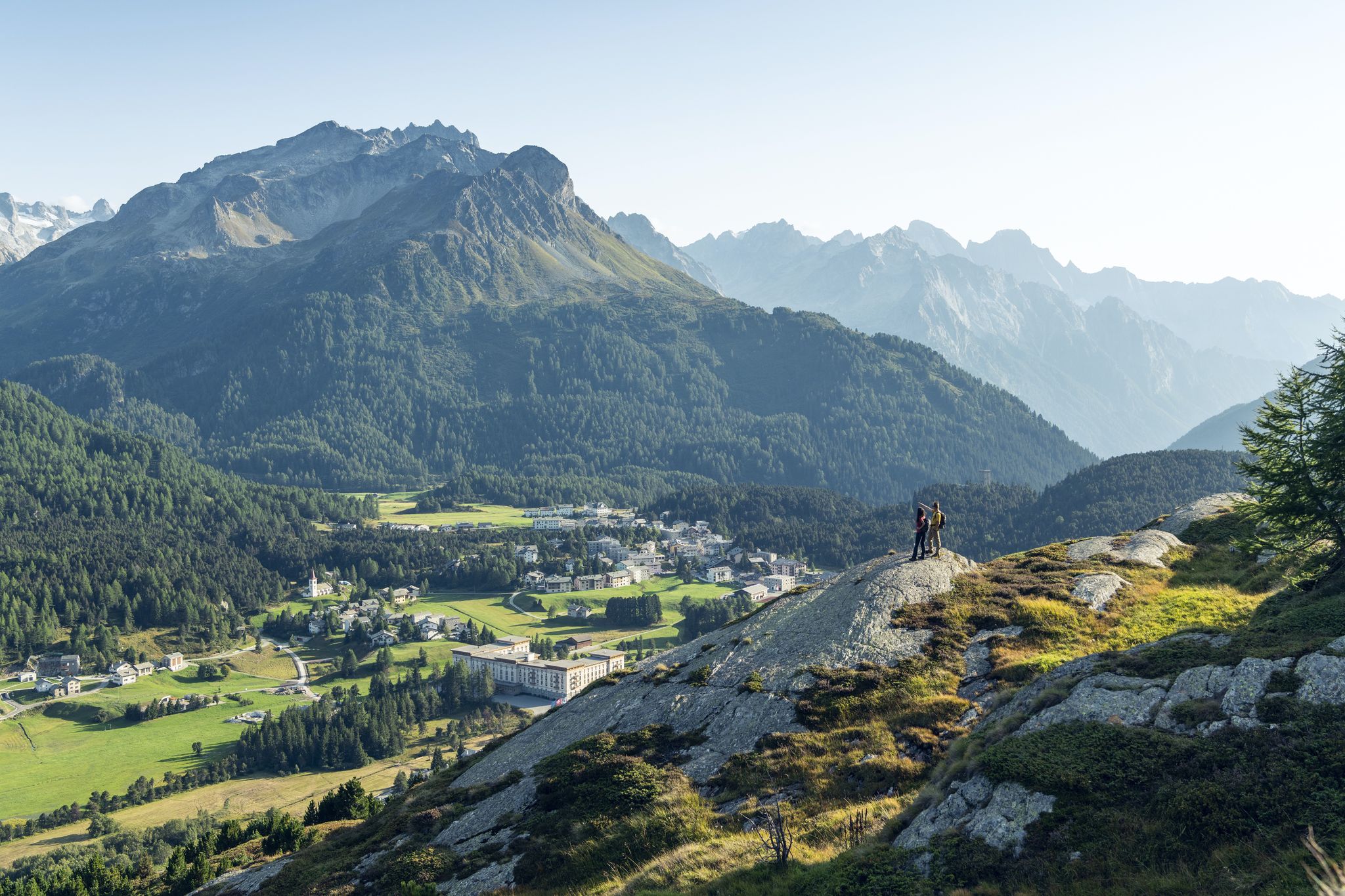
水と岩の間 - Via Engiadina
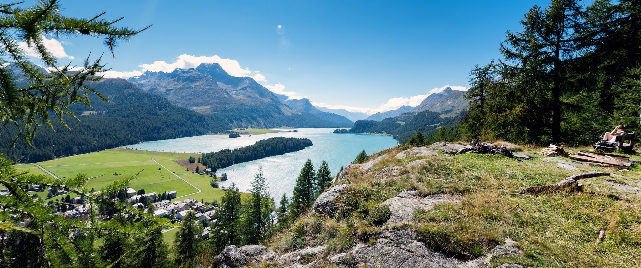
静かで感動的なエンガディンのハイキング – ヴィア・エンギアディナ
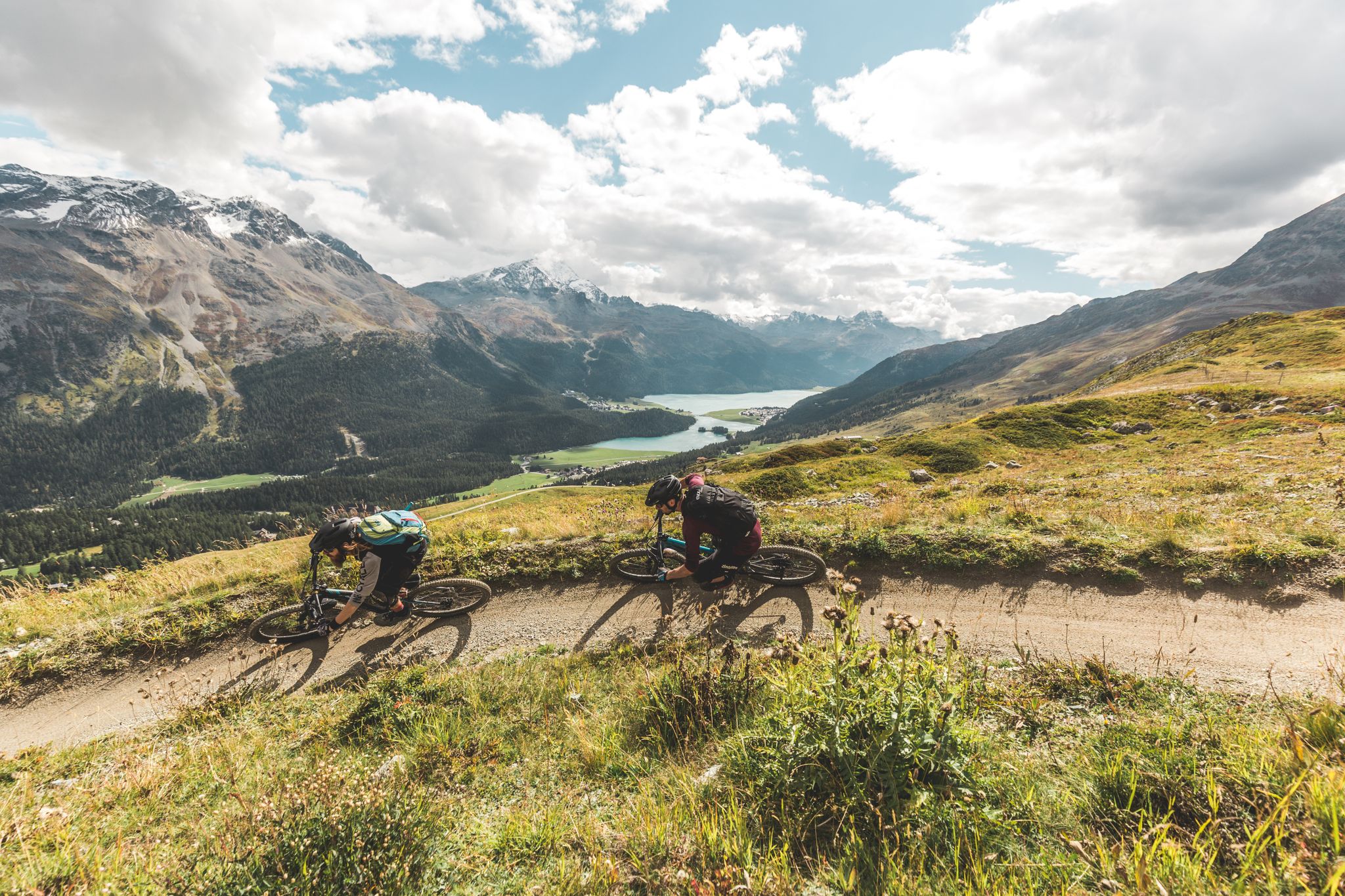
Go with the flow — bike trails in Switzerland’s Engadin valley
Via Engiadina and Bernina Tour – Engadineのロングディスタンスハイキング
Bernina Tour – 東アルプスの唯一の4000mピークの周り8日間
Scenic hikes in the Engadin
シルヴァプラーナでのハイキング
シルヴァプラーナのMTBトレイル

シルヴァプラーナでのサイクリング
シルヴァプラーナでのの他の冒険


コミュニティからのヒント

A Catholic church in the predominantly Protestant Engadin, built mainly for spa guests.
0
0


Silvaplanerseeは、晴れた日には信頼性の高いマロヤ風が吹く、理想的なウィンドサーフィンとカイトサーフィンのエリアです。昼夜の気温差が大きい場合、ベルゲル地方のマロヤ峠前の岩が熱せられ、風がイン川渓谷を下って吹きます。この効果は、接近する悪天候の前線によってさらに強まることがあります -> その時は本当に盛り上がります。一方、北風(ビーズ)またはジュリエ風の場合は、風は弱いです。サーフィンに理想的な出発点は、大きな駐車場を備えたサーフセンターのシルヴァプラーナ・キャンプ場です。
0
0
美しい湖、ウォータースポーツ愛好家に人気、湖畔の東岸に沿った非常に美しい道。
0
0

Fedacla (River) The Fedacla – also known as the Fexbach – is a stream just over 10 kilometers long in the Upper Engadine region of the canton of Graubünden. It drains the beautiful Fex Valley (Val Fex) and finally flows into Lake Silvaplana near Seglias. The mountain stream Fedacla originates at the far end of the Fex Valley from the confluence of several headstreams that flow down from the glaciers Vadret dal Güx, Vadret dal Fex, and Vadred dal Tremoggia. These confluences create the Fexbach, or Fedacla, at an altitude of approximately 2,320 meters above sea level. It then flows northwards and, after about three kilometers, passes the Alp Muot Selvas (2,069 m). Immediately after passing the Hotel Fex, it is joined from the right by the Ova dal Munt. Later, it meanders past the settlement of Crasta, then turns slightly near Platta and reaches Sils im Engadin (1809m). Here, the Fedacla flows right through the village. It then passes the Sils district of Seglias. Now it turns northeast, flows in a canal through the Suot l’Ova plain, and finally empties into Lake Silvaplana at an altitude of 1790m. Text / Source: schweizerfluss.ch https://schweizerfluss.ch/fedacla/
15
0

komootモバイルアプリでインスピレーションを得よう


さらに探索
他の地域の最高のランニングトレイル & ルートを見てみましょう。
