ブセナク周辺のアトラクション&必見スポット - トップ20
ブセナクには必見のスポットがたくさんあります。ハイキング愛好家やサイクリング愛好家の方は、ぜひブセナクを探索してこのエリアにある20
の隠れたスポットを訪れてみてください。このエリアの必見スポットを確認し、次の冒険に出かける計画を立てましょう。
最終更新日: 9月 8, 2026
ポル・ド・レル
ハイライト • 山道
翻訳者 Google •
役立つ情報 は

ヴェロルート81のトンネル
ハイライト (セグメント) • サイクリングロード
You will therefore be enlightened as you progress underground.
翻訳者 Google •
役立つ情報 は

今すぐサインアップして、こんな場所を発見しよう
最高のシングルトラック、ピーク、その他のエキサイティングなアウトドアスポットのおすすめを受け取ろう。
ヴォワ・ヴェルト・フォワ–サン=ジロン
ハイライト (セグメント) • サイクリングロード
Too bad, with a better surface the Bahntrassenradweg would have a lot of potential.
More information: af3v.org/les-voies-vertes/voies/279-search_tag and fr.wikipedia.org/wiki/Ligne_de_Foix_%C3%A0_Saint-Girons?wprov=sfla1
翻訳者 Google •
役立つ情報 は

ペゲール峠への登り
ハイライト (セグメント) • 山道
翻訳者 Google •
役立つ情報 は

クロゼット峠(1245m)
ハイライト • 山道
翻訳者 Google •
役立つ情報 は

無料でサインアップして、さらに多くの観光スポットを発見しましょう ブセナクでの。
すでにアカウントをお持ちですか?
無料アカウントで今日から始めよう
次の冒険が待っています。

コミュニティからのヒント

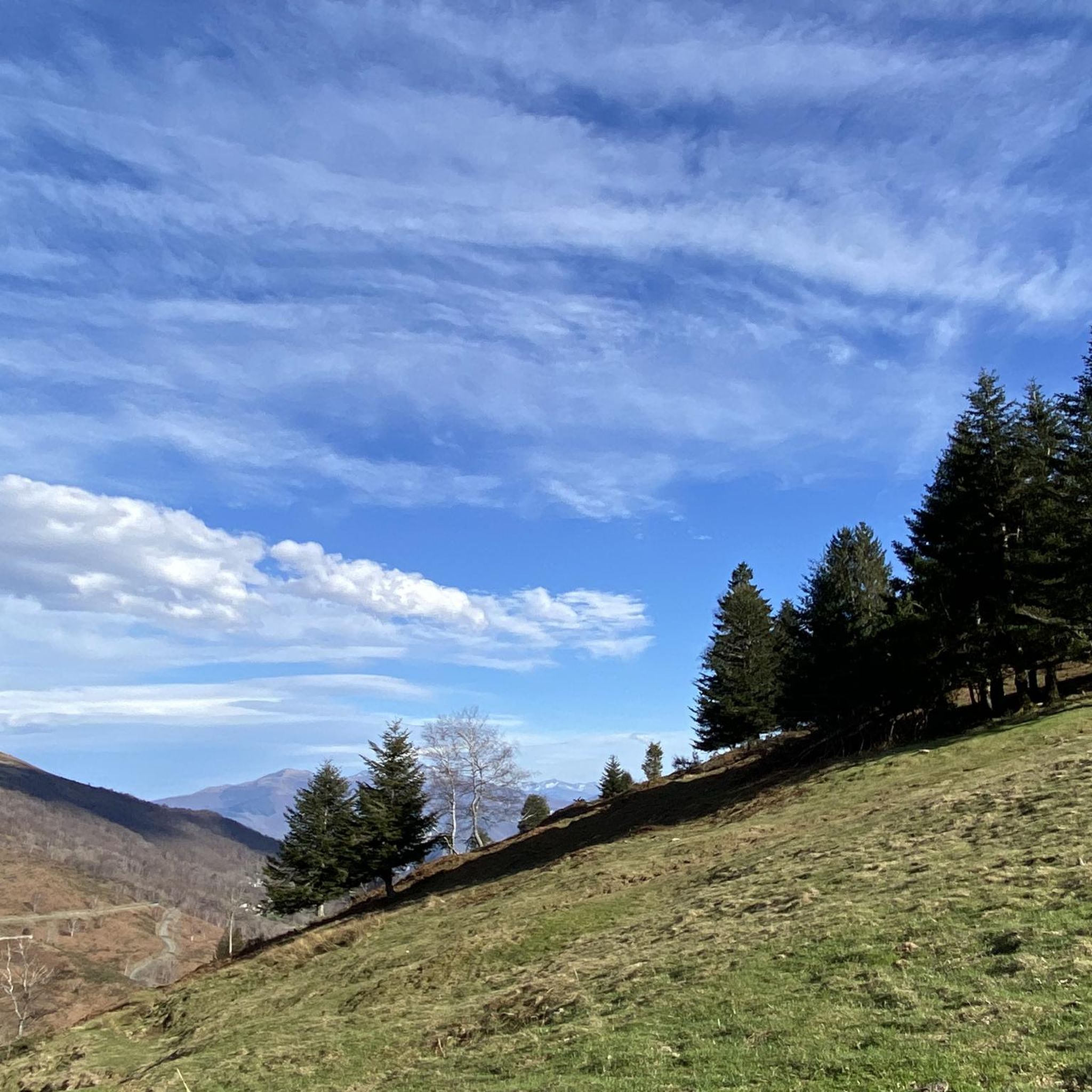
ピレネー山脈の必見の場所であり、疑いなく、ピレネー山脈を横断するあらゆるルートに含めるべきです。 そのどちらの側面も2は壮大で過酷です。その頂上からの眺めは素晴らしく、ピレネー山脈の荒々しさを感じることができます。 もちろん、この峠の頂上に着いたら…エタン・ド・レールに下りて、湖畔で静かな休息を楽しむ必要があります。 この峠は何度かツール・ド・フランスのルートの一部となっていますが、常にゴールからは遠い場所でした。最初に先頭でこの峠を制したプロ選手は、忘れられないマルコ・パンターニで、1995年のことでした。
0
0
南側の斜面、Biert村から始まる斜面からの経験しか話せません。それは単に素晴らしい峠で、非常に厳しい最終区間があり、その近くにあるMur de Peguèreに非常によく似ています。交通量はほとんどなく、道が非常に狭くカーブが多いという魅力があり、それが精神的に役立ちます。
1
0

北側(マサから)からの登りが気に入りました。終盤は非常に風光明媚で、エタン・ド・レールへのアルプスの風景が広がっていました。
0
0

Be careful, since yesterday, June 19th, the descent to Rivèrenert has been freshly graveled and dangerous. I had a rear puncture due to small, sharp gravel sticking to the tire when braking. So, don't go crazy on this descent, friends.
3
0
Because around 12pm and >31°C, the climb from Biert is mostly in the shade, and this pass generally ends a series of small linked passes (like Portech, Catchaudégué or La Core, Saraillé, etc.). And the challenge of the last 3 km is worth experiencing to strengthen your mental strength. Get to your pedals
1
0

This is the longest tunnel on the greenway: it's super fun to go through. Be careful: it's a bit chilly!
1
0
Hello everyone, I'm from Ariège, I decided this year to do the greenway with my dog Emy in both directions. It's a very beautiful walk, however there are some black points: lack of stone benches to deter potential thieves, and on the other hand the large Rimont tunnel which is 803 m long there is no more light. The motion detector does not work. Luckily that day I had my flashlight with me. There is horse excrement everywhere, perhaps one day we will have to ask the riders to pick up their droppings. It's a very beautiful walk.
0
0

ブセナクでのの人気観光スポット

komootモバイルアプリでインスピレーションを得よう


さらに探索
まだ探しているハイライトが見つかりませんか?他の地域のトップアトラクションのガイドを見てみましょう:
