バグのおすすめランニングルート
4.5
(22)
1,122
ランナー
193
ランニング
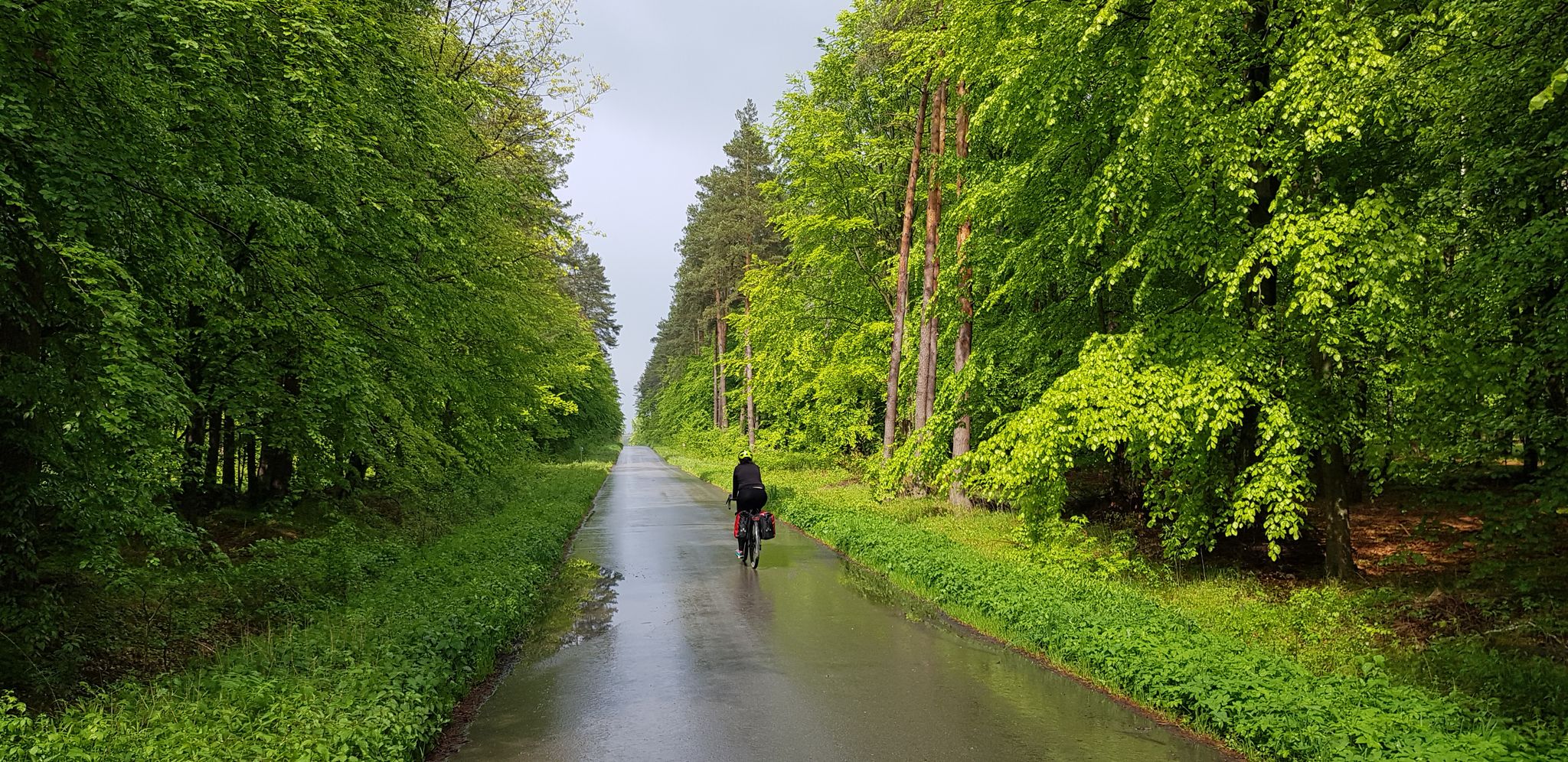
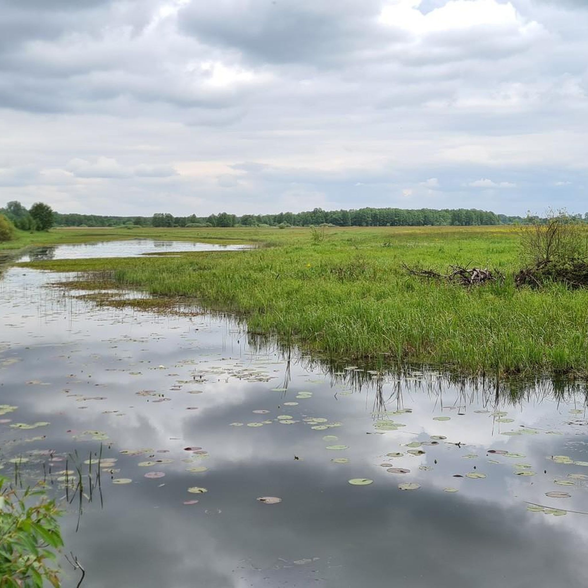
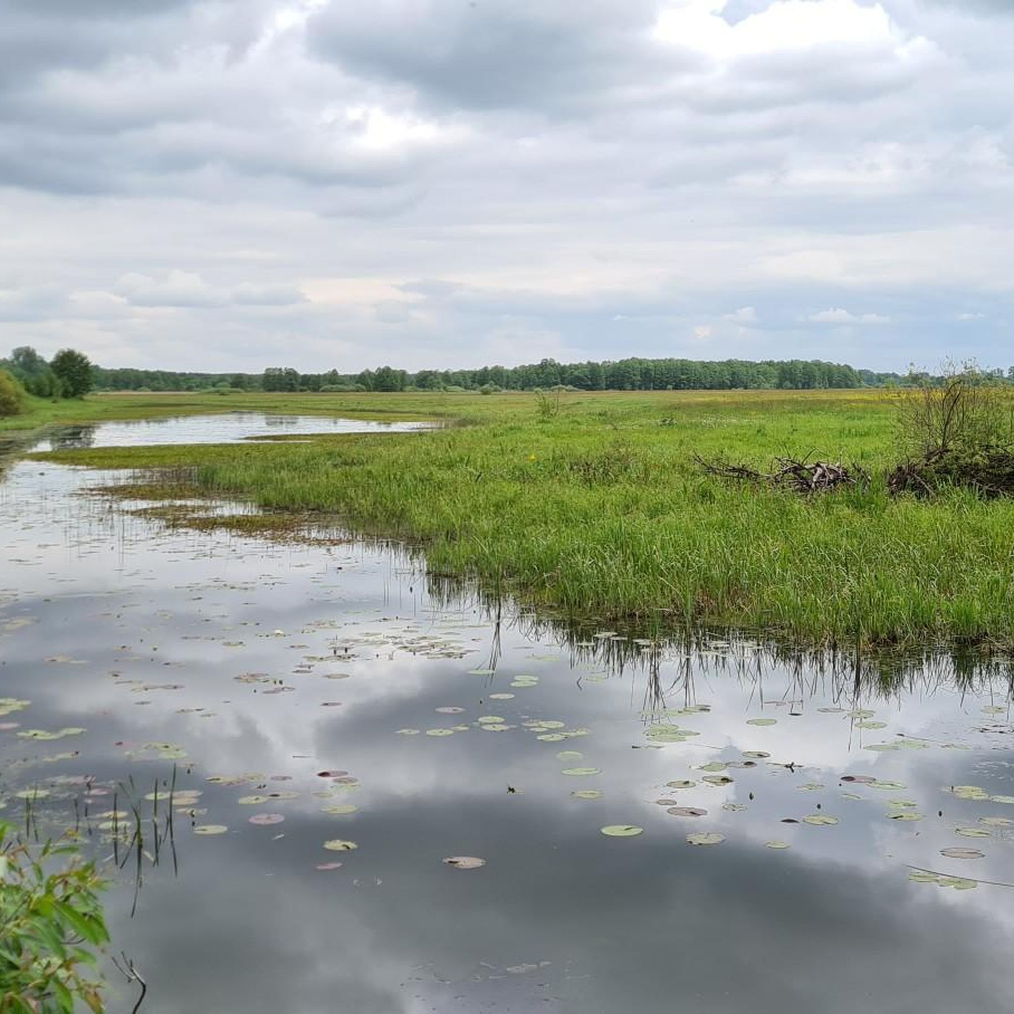
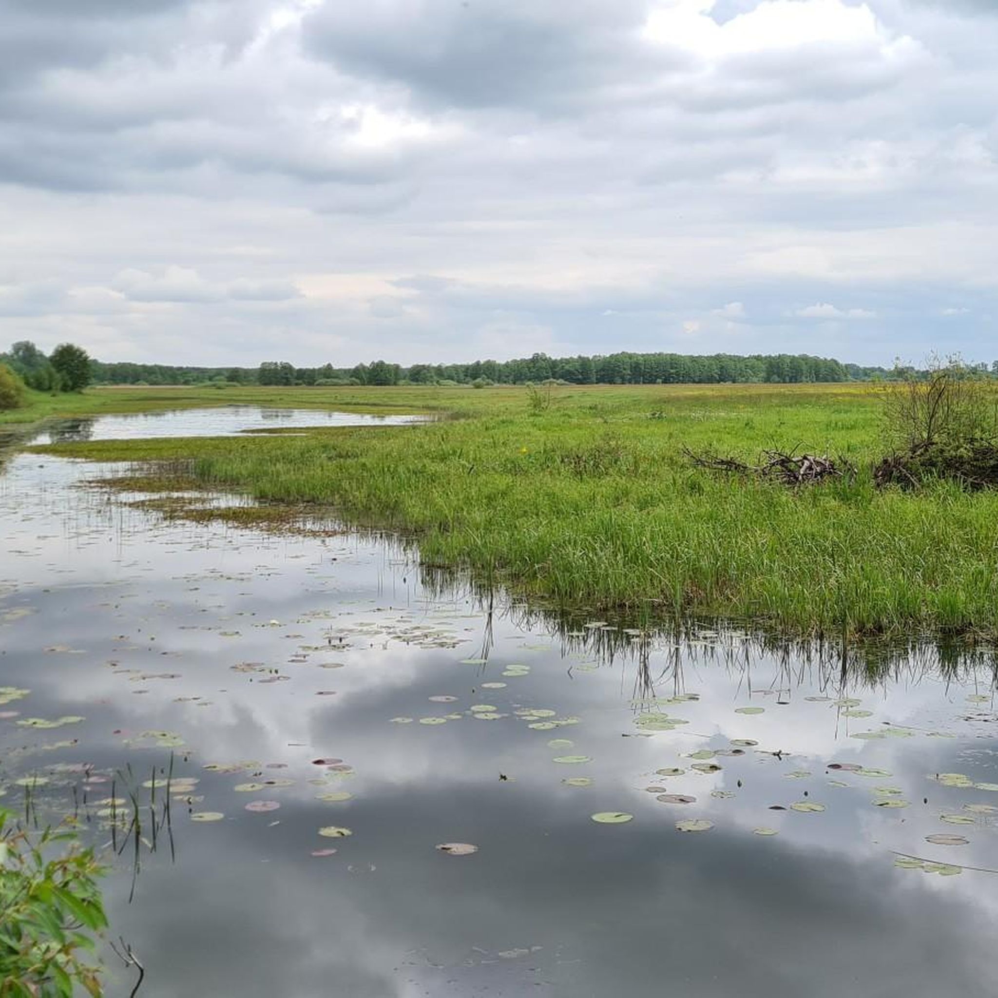
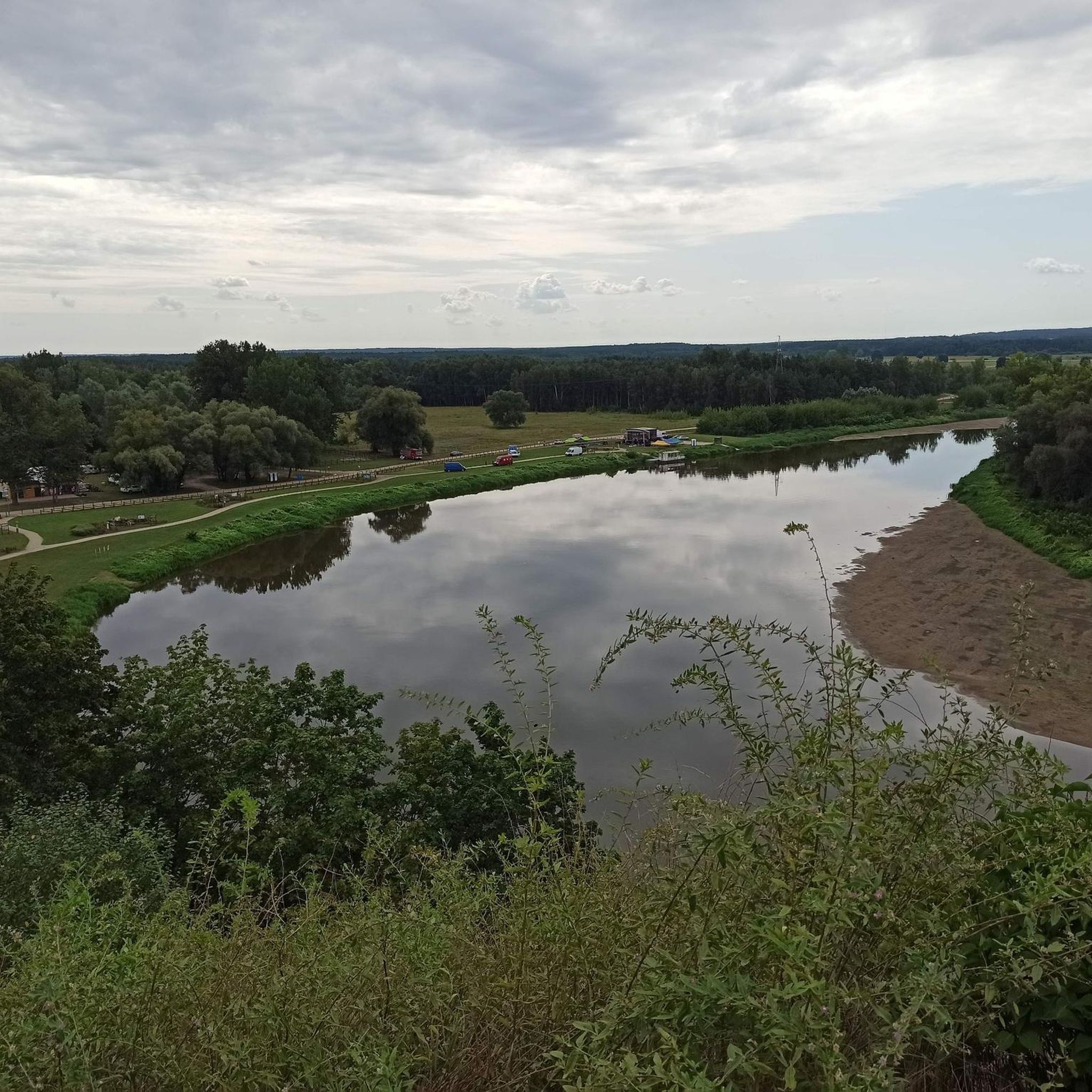
ブク川沿いのジョギングコースは、東ヨーロッパを流れるその蛇行した川筋に沿って続くことが多く、全体的に平坦から緩やかに起伏のある地形が特徴です。この地域には、農耕地、川沿いの森、そして時折小さな町が点在しています。ランニングトレイルからは、開けた牧草地や林地とともに、川自体の景色を眺めることができます。地形は通常アクセスしやすく、様々なレベルのランナーに適しています。
ブク川沿いの最高のジョギングコース
- 最も人気のあるジョギングコースは、モドリン要塞発着の5.6マイル(9.1 km)のループトレイル「モドリン要塞 — 士官候補生門 – メチシェフスキ・カポニエール ループ」で、所要時間は1時間です。このコースは、史跡の近くで多少の高低差があり、中程度の難易度です。
- 地元ランナーに人気のもう一つのコースは、ミエルニク発着の13.1マイル(21.1 km)の難易度の高いループトレイル「ヴィンニツァ・コロル・ワイナリー – 聖霊教会 ループ」です。この長いコースは、より大きな高低差があり、変化に富んだ風景の中を蛇行しています。
- 地元ランナーに愛されている「セロツク発着のランニングループ」は、3.1マイル(5.0 km)のトレイルで、地元の周辺地域を通り抜けており、所要時間は約1時間です。
- ブク川沿いのジョギングは、川沿いの道、開けた野原、そして森の区間が特徴です。このネットワークは、簡単な平坦なランニングから、より挑戦的な長いルートまで、様々なレベルのオプションを提供しています。
- ブク川のコースは、15件以上のレビューで平均4.4つ星という高評価をkomootコミュニティから受けています。900人以上のランナーがkomootを利用して、ブク川の多様な地形を探検しました。
最終更新日: 10月 7, 2026
27
ランナー
21.1km
02:26
260m
260m
難しいジョギング. 標準以上のフィットネスレベルが必要です。 全般的に舗装された状態です。あらゆるスキルレベルに適しています。
26
ランナー
12.1km
01:16
60m
60m
中程度のジョギング. ある程度のフィットネスレベルが必要です。 全般的に舗装された状態です。あらゆるスキルレベルに適しています。

10
ランナー
41.2km
04:48
370m
370m
難しいジョギング. 標準以上のフィットネスレベルが必要です。 全般的に舗装された状態です。あらゆるスキルレベルに適しています。
26
ランナー
15.4km
01:39
100m
100m
難しいジョギング. 標準以上のフィットネスレベルが必要です。 全般的に舗装された状態です。あらゆるスキルレベルに適しています。
21
ランナー
7.66km
00:47
10m
10m
中程度のジョギング. ある程度のフィットネスレベルが必要です。 全般的に舗装された状態です。あらゆるスキルレベルに適しています。
21
ランナー
7.12km
00:48
60m
60m
中程度のジョギング. ある程度のフィットネスレベルが必要です。 全般的に舗装された状態です。あらゆるスキルレベルに適しています。
3.0
(1)
22
ランナー
6.96km
00:44
30m
30m
中程度のジョギング. ある程度のフィットネスレベルが必要です。 全般的に舗装された状態です。あらゆるスキルレベルに適しています。
19
ランナー
15.1km
01:45
240m
240m
難しいジョギング. 標準以上のフィットネスレベルが必要です。 全般的に舗装された状態です。あらゆるスキルレベルに適しています。
4.0
(1)
16
ランナー
5.03km
00:31
20m
20m
中程度のジョギング. ある程度のフィットネスレベルが必要です。 全般的に舗装された状態です。あらゆるスキルレベルに適しています。
16
ランナー
11.3km
01:10
20m
20m
中程度のジョギング. ある程度のフィットネスレベルが必要です。 全般的に舗装された状態です。あらゆるスキルレベルに適しています。
さらに多くのルートや他のユーザーのおすすめ情報を確認できます。
すでにアカウントをお持ちですか?
おすすめのツアーは他のkomootユーザーが実際に経験した何千ものアクティビティに基づいています。
無料アカウントで今日から始めよう
次の冒険が待っています。


コミュニティからのヒント

The gate was built in 1837. It was located in the curtain wall between Bastions III and IV. The gate is single-story, constructed of brick with reinforced ashlar elements. It was guarded by two artillery positions in two openings on the sides. It received a neo-Gothic façade on the exterior, with one decorative axe surviving to this day. The gate's external thresholds were located high above the fortress ditch at the edge of the ramparts. A wooden bridge once led to the gate, of which only 16 brick pillars remain. The bridge curved slightly closer to the gate so that the gate and the bridge were not aligned during firing. General Dąbrowski Street once began at the bridge. The gate is now a ruin.
0
0
A monument in the form of a plaque with text and an anchor commemorating the first port of the reborn Second Polish Navy. It was unveiled on June 21, 1997, at the initiative of members of the Maritime League Association and the residents of Nowy Dwór Mazowiecki. The monument is situated on the right bank of the Narew River, directly opposite the entrance to the former naval port located near the Lieutenant Feliks Pancer Bridge.
0
0
The former artillery kennel (also known as a caponier) was built during the expansion of the Modlin Fortress citadel between 1832 and 1844. Before World War I, the building had four stories; from August 1915, only two. Just a dozen or so years ago, a figure of a knight, carved from sheet metal, stood on the building's "terrace." The name "Knight" was familiar among the locals; if you arranged to meet someone at "Knight," you knew where they were. Unfortunately, there's no trace of it left. From the caponier's "terrace," you can see the ruins of a granary and the confluence of the Narew and Vistula Rivers. For several years, a mural referencing the Napoleonic era has been displayed on the citadel's walls (to the right of the stairs).
0
0

it's worth climbing the mountain next to it, there's a beautiful view
0
0

Hotel Narvill BeachBar and beach: https://www.hotelnarvil.pl/beach-bar
1
0
Great place, Serock positively surprised me, lots of attractions, I will definitely go on the ferry with the kids!
2
0

Before organizing your route, be sure to check the ferry times and ticket prices: https://podlasie.siematycze.pl/83-siematycze-przeprawa-promowa-mielnik-zabuze It's worth having cash with you.
3
2

よくある質問
Bug地域には、いくつのランニングルートがありますか?
Bug地域では、100以上の多様なランニングルートが利用可能です。これらは、初心者向けの平坦な道から、より挑戦的な長距離ルートまで幅広く、あらゆるレベルのランナーに対応しています。
Bug川周辺のランニングトレイルでは、どのような地形が予想されますか?
Bug川周辺のランニングトレイルは、通常、東ヨーロッパを蛇行する川の流れに沿っています。一般的に平坦から緩やかな起伏のある地形が予想され、農耕地、川沿いの森、時折小さな町が混在しています。地形は通常アクセスしやすく、様々なレベルのランナーに適しています。
Bug地域には、初心者向けの簡単なランニングルートはありますか?
はい、Bug地域には初心者向けの簡単なランニングルートが豊富にあります。17の簡単なルートが利用可能で、多くは開けた草原や川岸に沿った平坦な道が特徴です。例としては、約5.0km(3.1マイル)で適度な挑戦を提供するセロツク発のランニングループが挙げられます。
経験豊富なランナー向けの、より挑戦的なランニングルートはありますか?
より挑戦的なルートを求める経験豊富なランナーのために、Bug地域には13の難易度の高いルートがあります。これらはしばしば、より大きな標高差と長距離を特徴としています。ミェルニク発のWinnica Korolワイナリー – 聖霊教会ループ(21.1km(13.1マイル)の難易度の高いルート)や、さらに長いザブージェ発のWinnica Korolワイナリー – ミェルニクの水浴場ループ(41km超)を検討してみてください。
Bug川周辺には、周回型のランニングルートはありますか?
Bug地域にあるランニングルートの多くは周回型で、便利な出発・終了地点を提供しています。例えば、人気のモドリン要塞発 – 士官候補生門 – メチシェフスキカポニエールループは、史跡の近くにある5.6マイル(9.1km)のループで、適度な挑戦を提供します。
Bug川沿いをジョギング中に、どのような興味深い景色やランドマークを見ることができますか?
Bug川周辺のジョギングルートは、しばしば史跡や自然の魅力的な場所を通過します。モドリン要塞 – 士官候補生門の近くのエリアを探索したり、プロツク司教の城跡やブロックの城跡のような様々な城や遺跡を発見したりできます。これらは、ランニングに豊かな歴史的次元を加えます。
湖やビーチのそばを通るランニングルートはありますか?
はい、いくつかのルートでは水域の景色を楽しんだり、アクセスしたりできます。ヴィエリシュのビーチやBug川の三日月湖の近くのトレイルが見つかるかもしれません。イズビツァ発のヴィエリシュのビーチ – デンベダムループは、これらの景観に沿って走るのに最適なオプションです。
Bug地域でのジョギングルートについて、他のランナーはどのように評価していますか?
Bug地域のジョギングルートは、komootコミュニティから高く評価されており、15件以上のレビューで平均4.4つ星を獲得しています。ランナーは、川沿いの道から開けた野原、森の区間まで、多様な地形をしばしば賞賛し、様々なレベルのランナーに対応したオプションがあることを評価しています。
ハーフマラソン程度の距離を走るのに適したルートは見つけられますか?
もちろんです。Bug地域には、ハーフマラソン距離に近い、またはそれを超えるルートを含む、長距離ランに理想的なルートがいくつかあります。ミェルニク発のWinnica Korolワイナリー – 聖霊教会ループは21.1km(13.1マイル)でハーフマラソンに最適であり、ザブージェ発の41kmのWinnica Korolワイナリー – ミェルニクの水浴場ループのようなさらに長いオプションもあります。
Bug地域は、家族向けのジョギングに適していますか?
はい、Bug地域には家族向けの簡単なルートや中程度のルートがたくさんあります。一般的に平坦な地形と景色の良い川沿いの道は、楽しい外出に適しています。ポポヴォ・パルツェレ発の約5.5kmのランニングループのような、短くて難易度の低いループを探してみてください。
Bug川周辺でジョギングするのに最適な時期はいつですか?
春と秋は、一般的にBug川周辺でジョギングするのに最適な時期です。気候は穏やかで、花が咲き乱れる春や鮮やかな紅葉の秋の自然の風景は特に美しいです。夏も快適ですが、特に日中は暖かい気温に備える必要があります。冬のジョギングも可能ですが、トレイルは雪や氷に覆われている可能性があり、適切な装備が必要です。
ランニングルートの近くに駐車場はありますか?
すべてのルートについて特定の駐車情報が常に詳細に記載されているわけではありませんが、モドリン要塞のようなアトラクションの近くや町にある人気のトレイルヘッドや出発地点の多くには、通常、指定された駐車場があります。ランニングを計画する際は、現地の標識を確認するか、ナビゲーションアプリを使用して特定の駐車場所を見つけることをお勧めします。
バグでのの人気観光スポット

komootモバイルアプリでインスピレーションを得よう


さらに探索
他の地域の最高のランニングトレイル & ルートを見てみましょう。
