トロムスのおすすめランニングルート
4.6
(51)
6,485
ランナー
238
ランニング
トロムスでランニングを楽しめば、このエリアをより深く知ることができます。ランニングに適した美しいルートが見つかるように、komootがトロムスでのルートのコレクション全体を評価して選び抜いた、人気ランニングトレイルをご紹介します。ルートをクリックして詳細を表示し、他のユーザーがアップロードした役立つ情報や写真を閲覧しましょう。
最終更新日: 8月 30, 2026
315
ランナー
42.1km
04:22
210m
220m
Jog the Midnight Sun Marathon in Tromsø, a difficult 26.2-mile road race under the midnight sun, featuring city views and Arctic landscapes.
4.5
(2)
95
ランナー
8.73km
00:54
40m
40m
中程度のジョギング. ある程度のフィットネスレベルが必要です。 全般的に舗装された状態です。あらゆるスキルレベルに適しています。

無料新規登録
31
ランナー
15.1km
03:59
1,190m
1,190m
This difficult 9.4-mile (15.1 km) jogging loop to Tromsdalstinden summit offers panoramic views of Tromsø, fjords, and the Lyngen Alps.
5.0
(2)
15
ランナー
6.18km
00:42
70m
70m
中程度のジョギング. ある程度のフィットネスレベルが必要です。 全般的に舗装された状態です。あらゆるスキルレベルに適しています。
10
ランナー
5.31km
00:51
250m
600m
Jog this difficult 3.3-mile route from Fjellheisen to Fløya in Tromsø for panoramic views of the city, fjords, and Arctic ocean.
11
ランナー
7.51km
01:18
500m
500m
Tromtinden Trail is a difficult 4.7-mile jogging route on Kvaløya, featuring 1646 feet of elevation gain and panoramic summit views.
3.8
(5)
521
ランナー
19.1km
02:00
70m
70m
難しいジョギング. 標準以上のフィットネスレベルが必要です。 全般的に舗装された状態です。あらゆるスキルレベルに適しています。
3.7
(3)
463
ランナー
難しいジョギング. 標準以上のフィットネスレベルが必要です。 全般的に舗装された状態です。あらゆるスキルレベルに適しています。
270
ランナー
9.47km
01:00
90m
90m
中程度のジョギング. ある程度のフィットネスレベルが必要です。 全般的に舗装された状態です。あらゆるスキルレベルに適しています。
276
ランナー
9.24km
00:58
80m
80m
中程度のジョギング. ある程度のフィットネスレベルが必要です。 全般的に舗装された状態です。あらゆるスキルレベルに適しています。
さらに多くのルートや他のユーザーのおすすめ情報を確認できます。
無料新規登録
すでにアカウントをお持ちですか?
おすすめのツアーは他のkomootユーザーが実際に経験した何千ものアクティビティに基づいています。
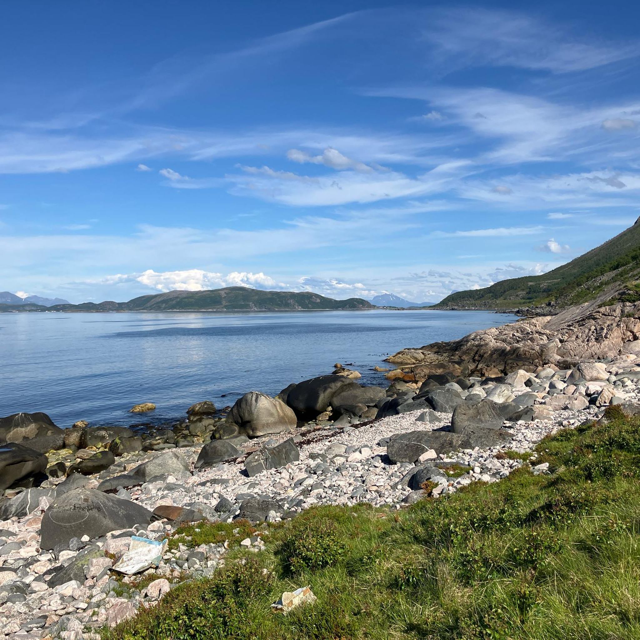
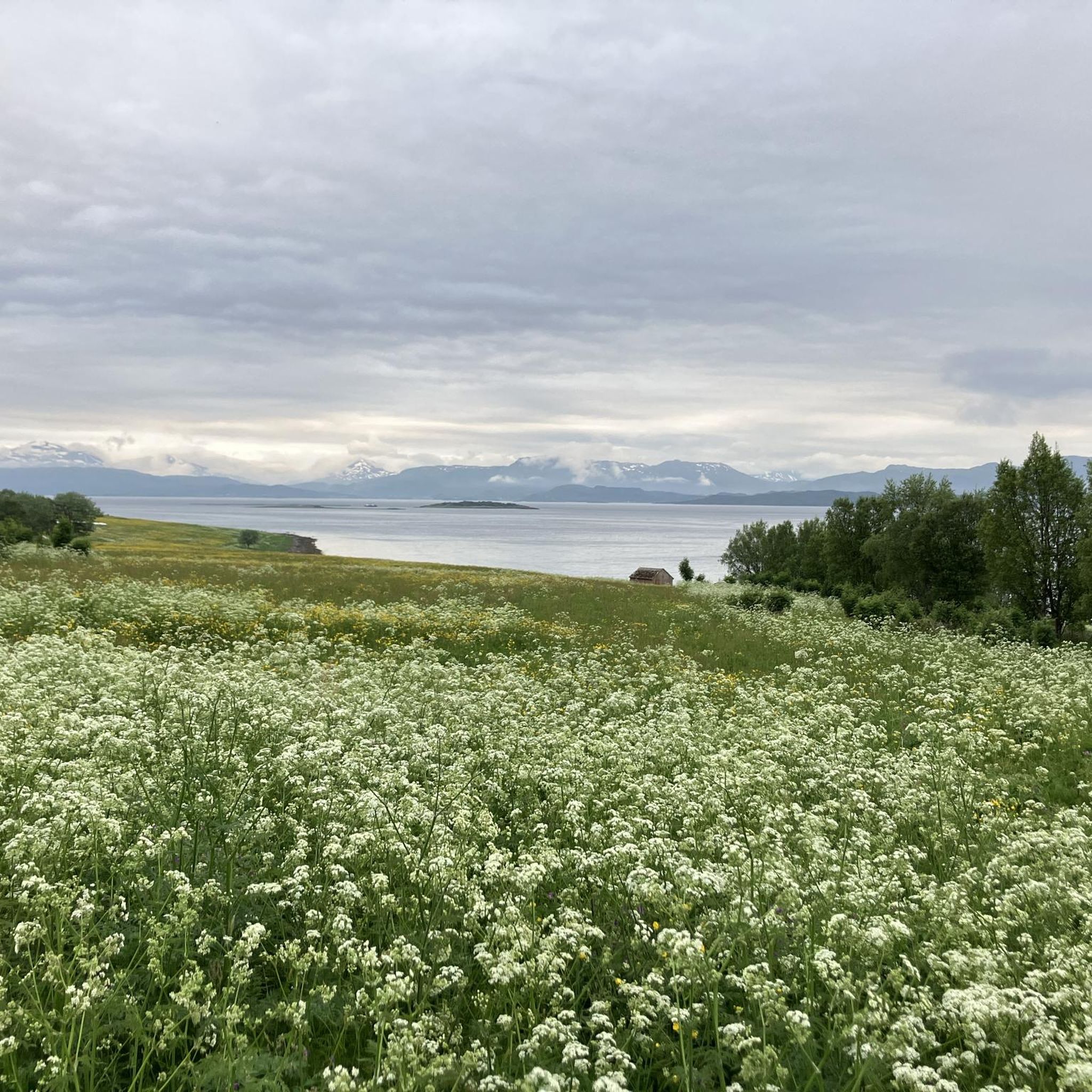
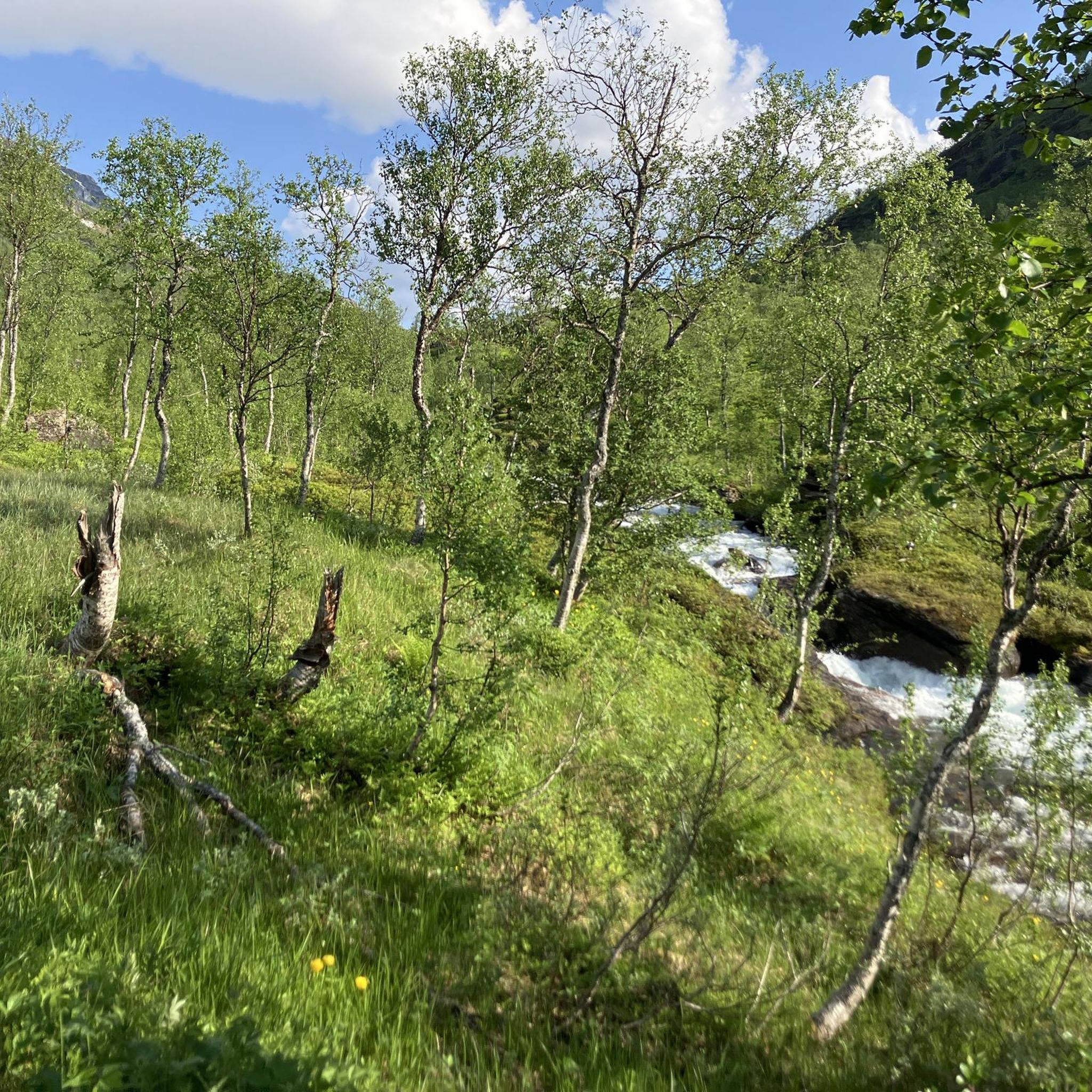
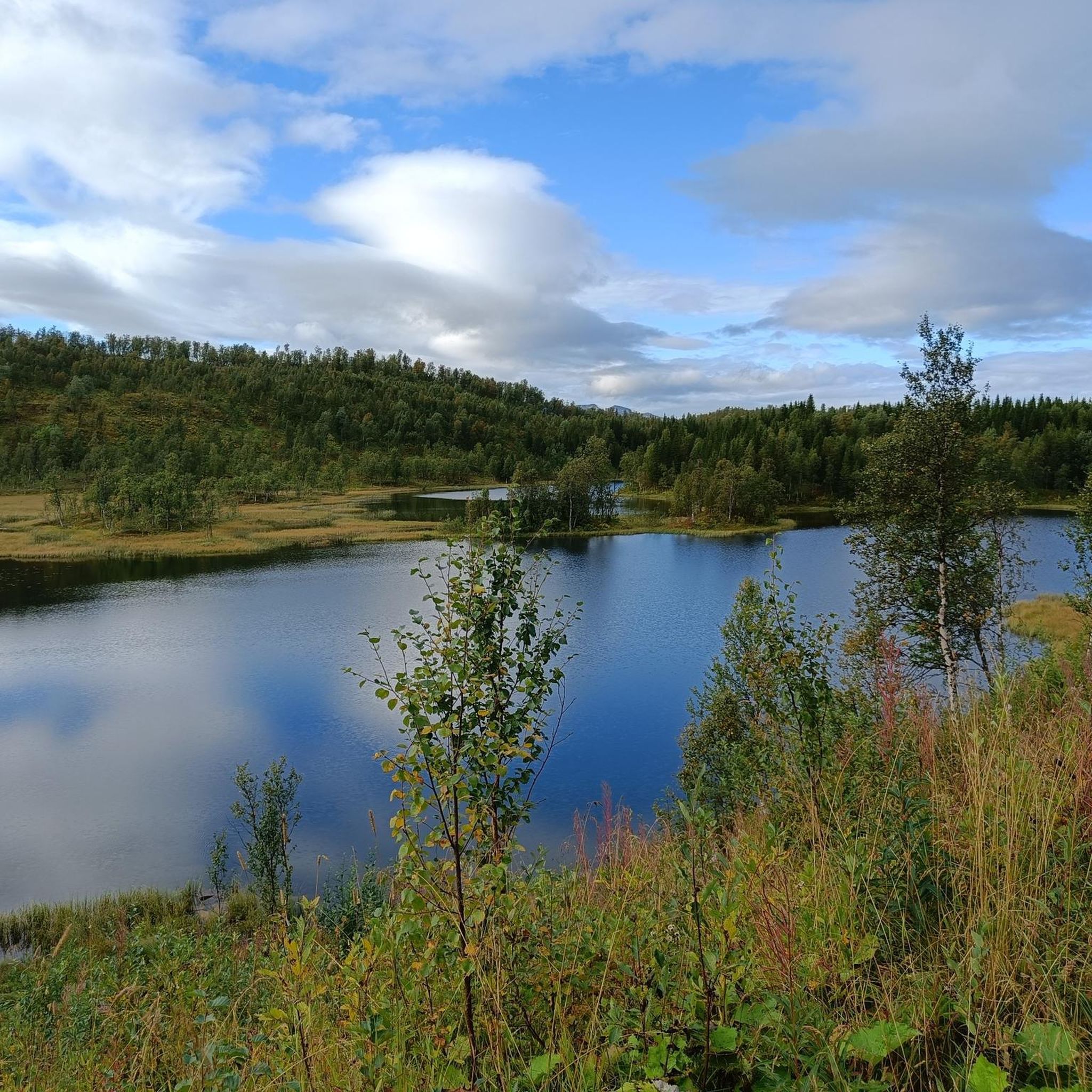
トロムスでのの他の冒険


コミュニティからのヒント


Prestvannet (Prestvatn), on the island of Tromsøya: a small urban lake located at the highest point of the city, originally created as a water reservoir in 1867 and now part of a protected natural area much loved by locals. In February, it looks like a silent Arctic basin: a frozen surface, compact snow along the shoreline, birch trees and conifers covered in white, and low winter light with bluish Nordic tones that make the landscape feel almost monochromatic. Around it runs an easy loop of about 1.7–1.9 km, perfect for a short but very scenic winter walk. It is worth visiting on foot in this season because it offers real nature without leaving the city, a simple trail, crisp air, outstanding photogenic scenery, and, on clear evenings, even a good chance to look for the Northern Lights. In winter, it is best enjoyed from the paths around the lake: the municipality notes that the ice may have uneven thickness in some areas.
0
0

Two shelters in the picnic area. Public restrooms are nearby, but they close at night.
0
0

Runs in the city don't get much more beautiful than the run along Kvaløyvegen on Tromsø's western waterfront. Road or trails, it's up to you but you'll be sure of glorious views across the water to Kvaløya's peaks.
2
0
Home to the historic Troms Folk Museum, Folkeparken is a beautiful place to run and hike through. There are gorgeous views from the park across the water towards Kvaløya.
0
0
At Tromsø's southern tip, Telegrafbukta is a popular spot. In the summer, it's a glorious place to enjoy the midnight sun, while it's also a much loved swimming spot. Its a great objective for a run in the city.
0
0
If you're after a longer traverse of the high ground after running to Tromsdalstinden, continue southwest at this col, where Rødryggen and the ridge to Floya and Fjellheisen awaits. Otherwise, a quicker descent heads nrothwest, back into the valley.
1
0

komootモバイルアプリでインスピレーションを得よう


探していたものは見つかりませんでしたか?
トロムスの下にある他のランニングトレイル & ルートをチェックして、目的地で完璧なルートを見つけましょう。
さらに探索
他の地域の最高のランニングトレイル & ルートを見てみましょう。
