ウィックローマウンテン国立公園のおすすめランニングルート
4.4
(37)
4,228
ランナー
218
ランニング
ウィックローマウンテン国立公園でランニングを楽しめば、このエリアをより深く知ることができます。ランニングに適した美しいルートが見つかるように、komootがウィックローマウンテン国立公園でのルートのコレクション全体を評価して選び抜いた、人気ランニングトレイルをご紹介します。ルートをクリックして詳細を表示し、他のユーザーがアップロードした役立つ情報や写真を閲覧しましょう。
最終更新日: 9月 13, 2026
5.0
(4)
181
ランナー
9.47km
01:24
320m
320m
Jog the difficult 5.9-mile Glendalough Spink Trail in Wicklow Mountains National Park, featuring panoramic views and a waterfall.
48
ランナー
15.7km
01:41
120m
120m
難しいジョギング. 標準以上のフィットネスレベルが必要です。 全般的に舗装された状態です。あらゆるスキルレベルに適しています。

21
ランナー
7.73km
00:57
220m
220m
Jog the Dublin Mountains Way Hellfire & Massey Spur, a 4.8-mile (7.7 km) moderate route with panoramic views and historical ruins.
2
ランナー
10.3km
01:17
320m
320m
難しいジョギング. 標準以上のフィットネスレベルが必要です。 全般的に舗装された状態です。あらゆるスキルレベルに適しています。
3.3
(3)
170
ランナー
20.4km
02:51
1,010m
1,010m
難しいジョギング. 標準以上のフィットネスレベルが必要です。 安定して歩行できる技術、丈夫な靴、高標高地での登山経験が必要です。
さらに多くのルートや他のユーザーのおすすめ情報を確認できます。
すでにアカウントをお持ちですか?
おすすめのツアーは他のkomootユーザーが実際に経験した何千ものアクティビティに基づいています。
無料アカウントで今日から始めよう
次の冒険が待っています。
ウィックローマウンテン国立公園周辺で人気
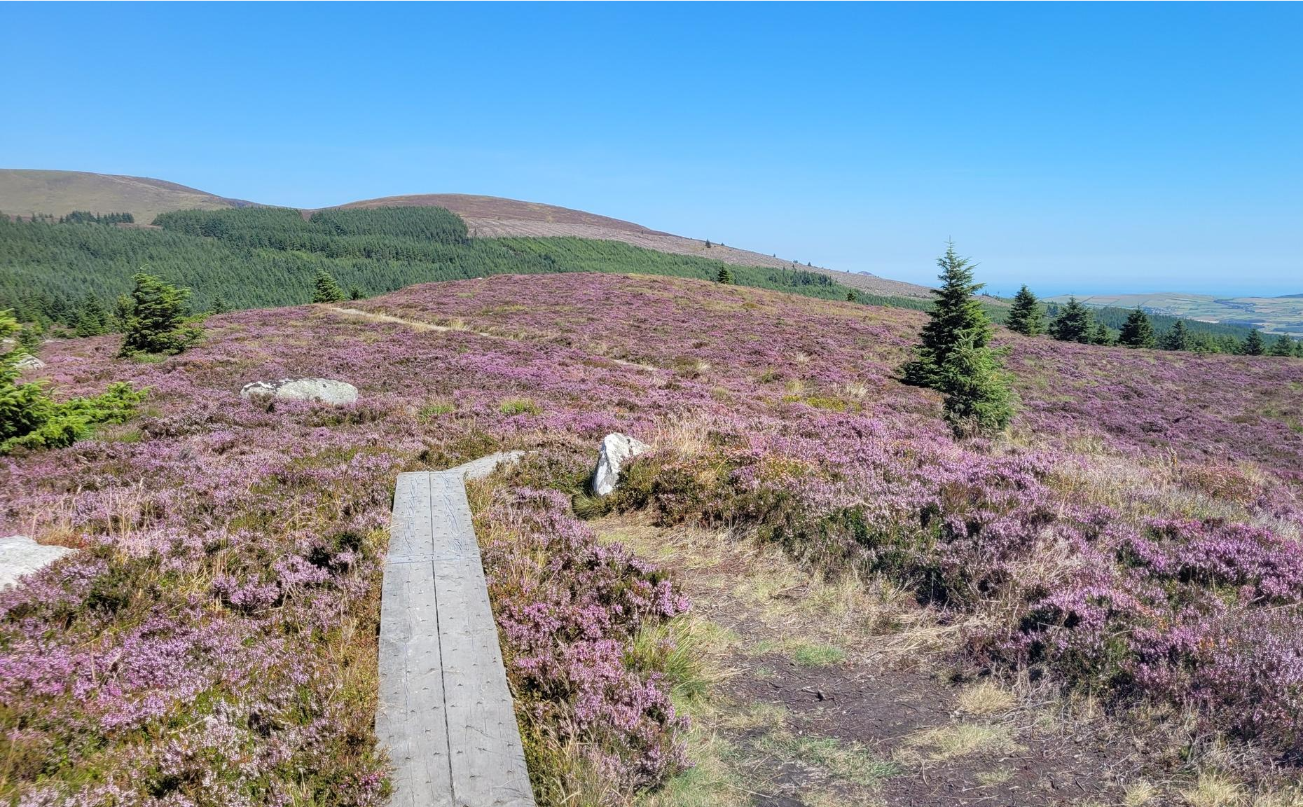
街から山へ-ウィックロー・ウェイを走る
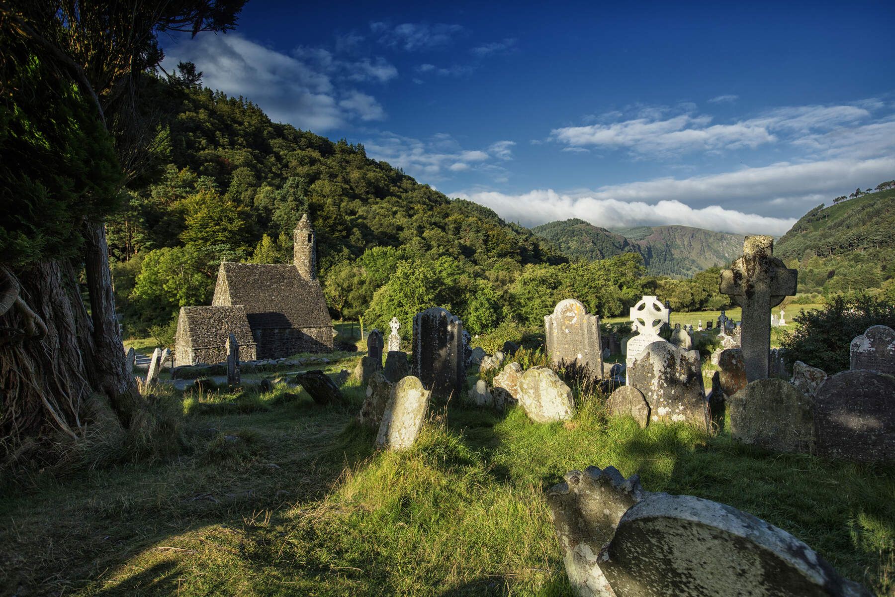
ウィックローウェイ — アイルランドの東を発見
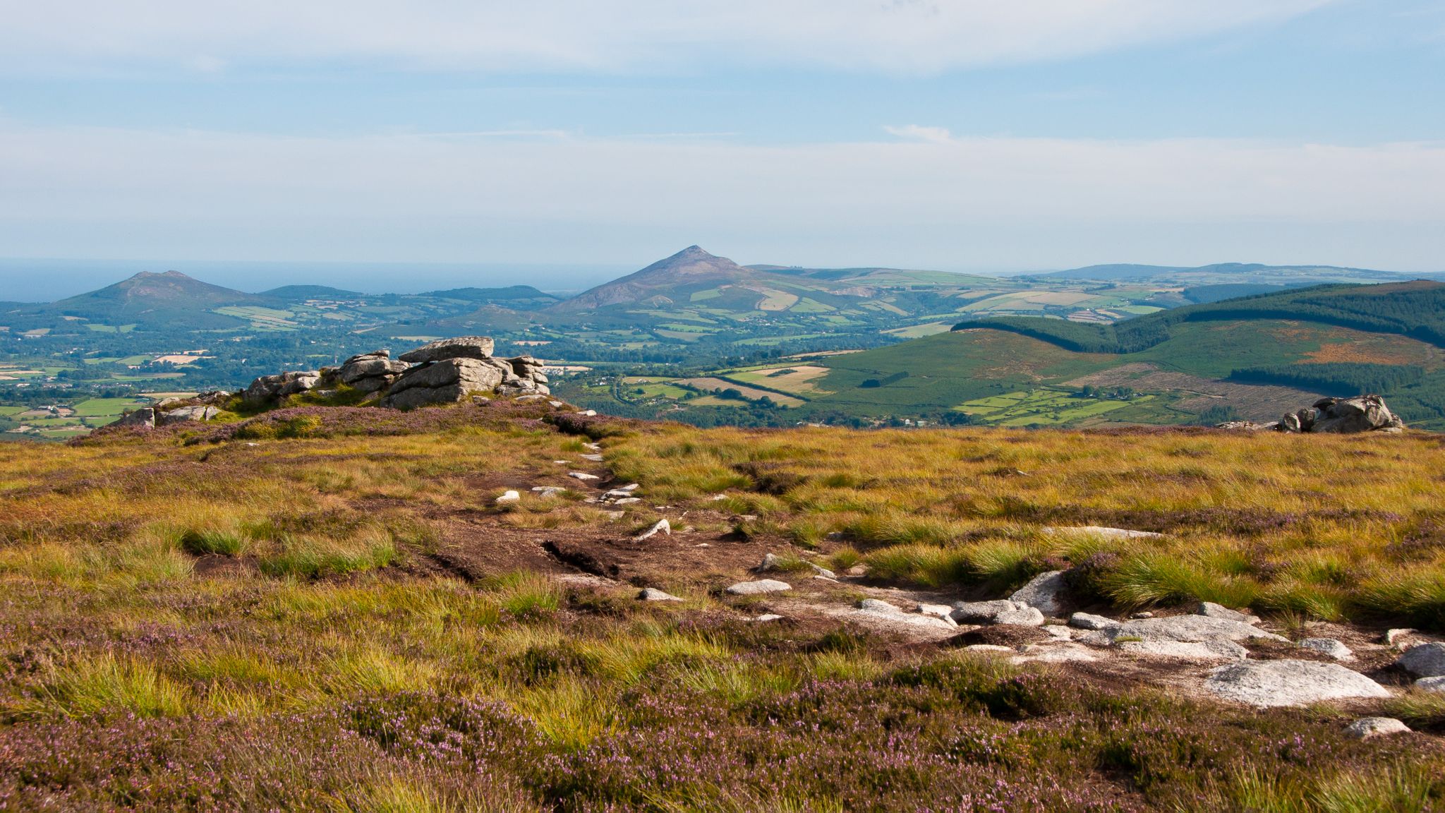
ダブリン・マウンテンズ・ウェイ-街から山頂までハイキング
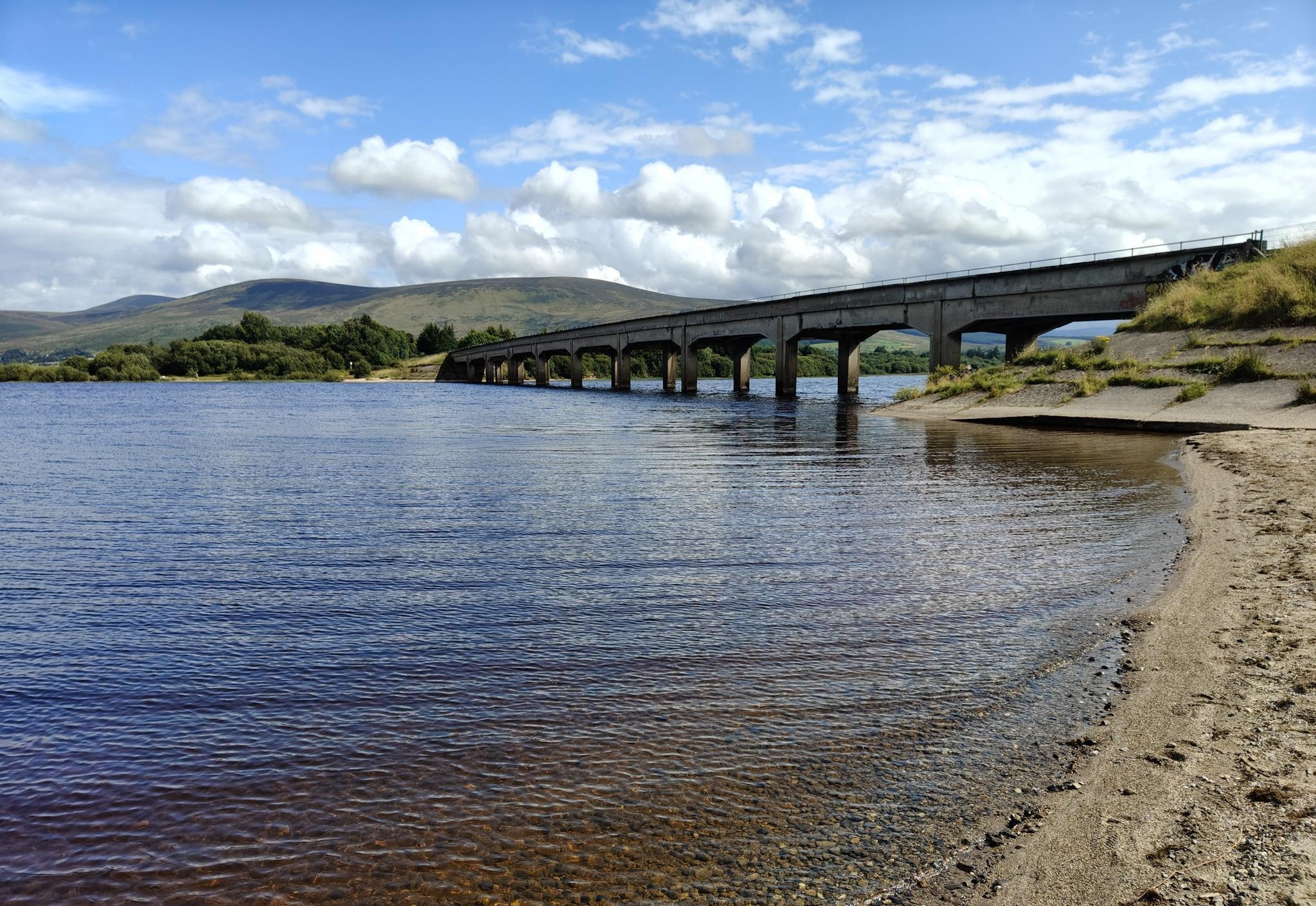
湖畔と田舎道 - ブレッシングトン・ループ

水を追いかけて - アイルランドの川と湖沿い
Discover Ireland's unspoilt nature in its national parks

Ireland's blue rivers and lakes – walks along the water

Discover Ireland's past – historical walks on the Emerald Isle
The magical east of Ireland – ancient places, scenic lakes and rocky mountains
Irish wanderlust — 8 long-distance hiking trails on the Emerald Isle
ウィックローマウンテン国立公園でのの他の冒険


コミュニティからのヒント

クロガンキンセラは標高606メートル(1,988フィート)です。ウィックロー山脈の南東端に位置するため、東はアークルウと海、南は低い土地を見渡す素晴らしい景色が楽しめます。ほとんどの人は東から登りますが、西からも良いトレイルがあります。
0
0

アッパー・リザーバーは、グレナスモル渓谷で最も標高の高い湖であり、下の隣人よりもはるかにワイルドで人里離れた感じがします。南東岸のこの地点では、ダブリン山脈の樹木が茂る斜面が深い暗い水に直接沈み込んでいるように見える水源地の中心部へと深く分け入っていきます。
9
0
細長い貯水池が静かなグレンアスモル渓谷にあり、広い砂利道がアッパーおよびロワー貯水池に沿って完全に車のない状態で走っています。この風景は、開けた水面、松林、そして荒々しい丘を組み合わせており、ダブリン山脈への定期的な眺めがあります。ルートは平坦で静かで、山岳地帯への入門として、または長いツアーでのリラックスした自然の一部として理想的です。鳥、水鳥、そして時には斜面にいる鹿が、この地域に明確な自然保護区の感覚を与えています。
7
0

Did the loop today bottom part was very wet, boggy under foot so make sure you were good footwear. Climb up Djouce was straight forward but the loop was difficult.
0
0

A great view overlooking the Glensoulan Valley with the Powerscourt Waterfall in the distance. At 121 m (397 feet) high, the waterfall is the second highest in Ireland. The waterfall is surrounded by Djouce and Maulin mountains which stand proudly in the spectacular landscape.
0
0

Nice view (sometimes only on the 3rd attempt did I really get a view) can also be very windy with rain from the site
0
0

This pretty little brook runs through the woodland of Massy's Estate. A trail, part of the Dublin Mountains Way, follows its course for some distance and it makes for a great running companion. Close to the capital, Massy's Estate is a popular location for runners and hikers alike.
0
0
ウィックローマウンテン国立公園でのの人気ルート
ウィックローマウンテン国立公園でのの人気観光スポット

komootモバイルアプリでインスピレーションを得よう


さらに探索
他の地域の最高のランニングトレイル & ルートを見てみましょう。
