サン・ピエール=ド=コロンビエのおすすめライド
4.6
(95)
2,041
ライダー
72
ライド
サン・ピエール=ド=コロンビエ周辺のロードバイクルートをお探しですか?ここでは、komootが提供するサン・ピエール=ド=コロンビエでのロードバイクライドのコレクション全体を評価して選び抜いた人気ルートをご紹介します。各ライドの詳細をぜひご覧ください。
最終更新日: 8月 25, 2026
5.0
(6)
30
ライダー
30.3km
01:49
790m
790m
中程度のロードライド. ある程度のフィットネスレベルが必要です。 全般的に舗装状態が良好で走行しやすい道です。
5.0
(1)
115
ライダー
103km
05:36
2,140m
2,140m
難しいロードライド. 標準以上のフィットネスレベルが必要です。 全般的に舗装状態が良好で走行しやすい道です。

無料新規登録
4.6
(7)
128
ライダー
55.0km
03:04
1,190m
1,190m
難しいロードライド. 標準以上のフィットネスレベルが必要です。 ツアーの一部に、未舗装のため走行が難しい箇所があるかもしれません。
5.0
(2)
54
ライダー
62.4km
03:29
1,340m
1,340m
難しいロードライド. 標準以上のフィットネスレベルが必要です。 全般的に舗装状態が良好で走行しやすい道です。
5.0
(2)
45
ライダー
63.0km
03:27
1,320m
1,320m
難しいロードライド. 標準以上のフィットネスレベルが必要です。 ツアーの一部に、未舗装のため走行が難しい箇所があるかもしれません。
さらに多くのルートや他のユーザーのおすすめ情報を確認できます。
無料新規登録
すでにアカウントをお持ちですか?
おすすめのツアーは他のkomootユーザーが実際に経験した何千ものアクティビティに基づいています。
無料アカウントで今日から始めよう
次の冒険が待っています。
ログインまたは登録
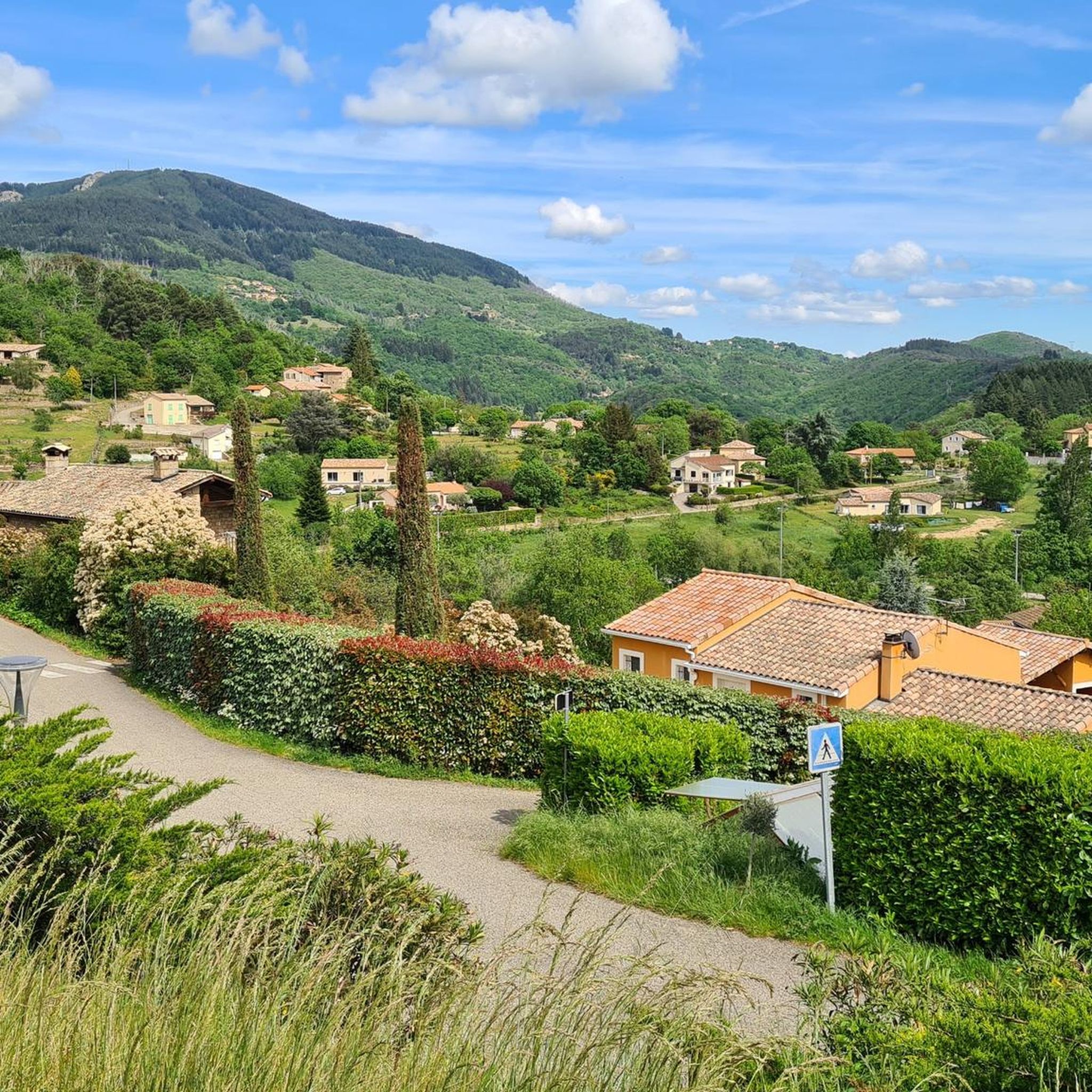
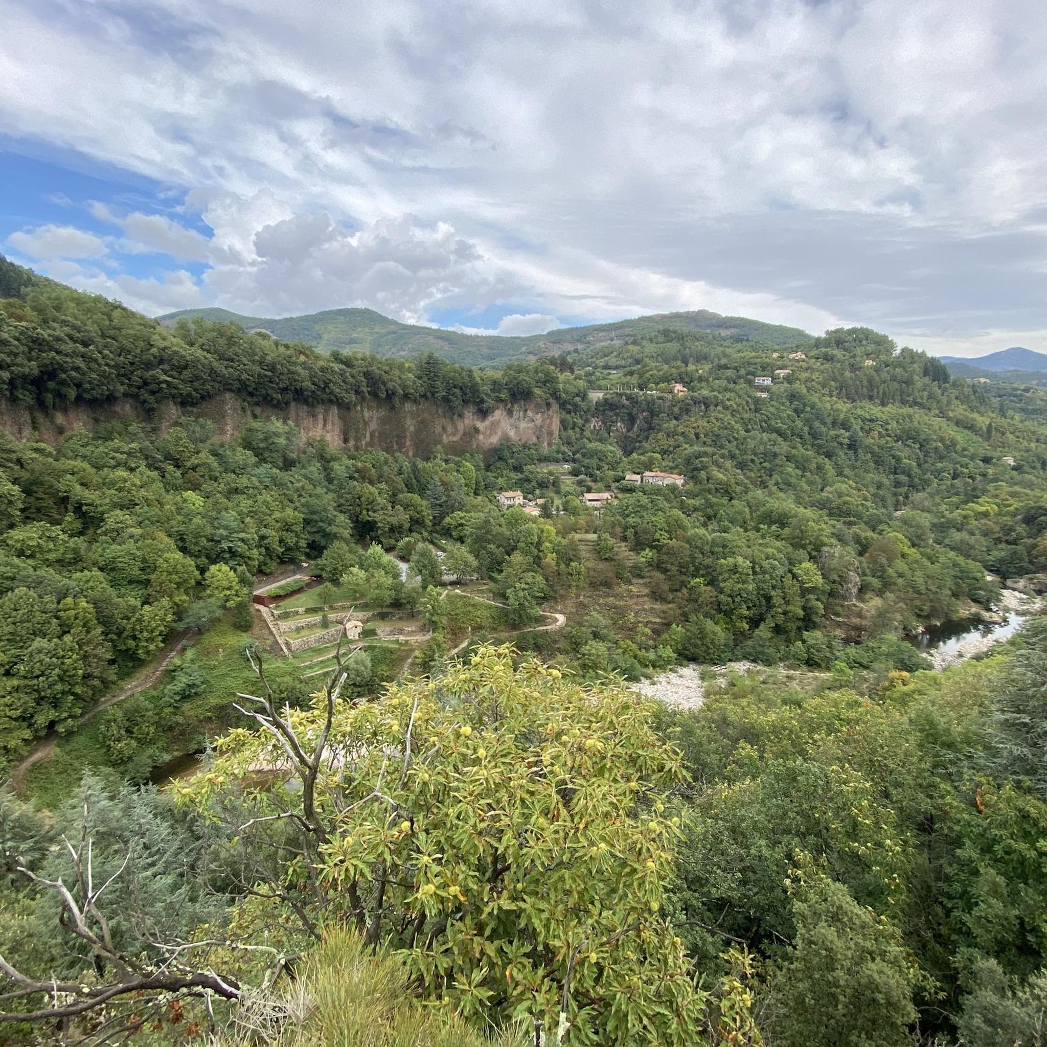
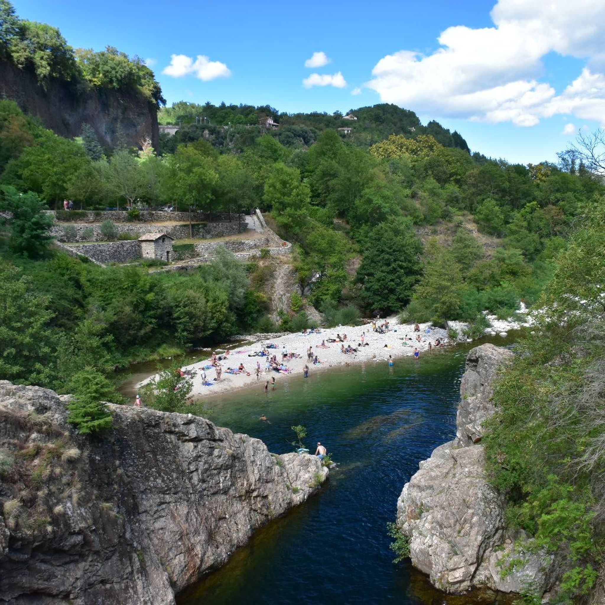
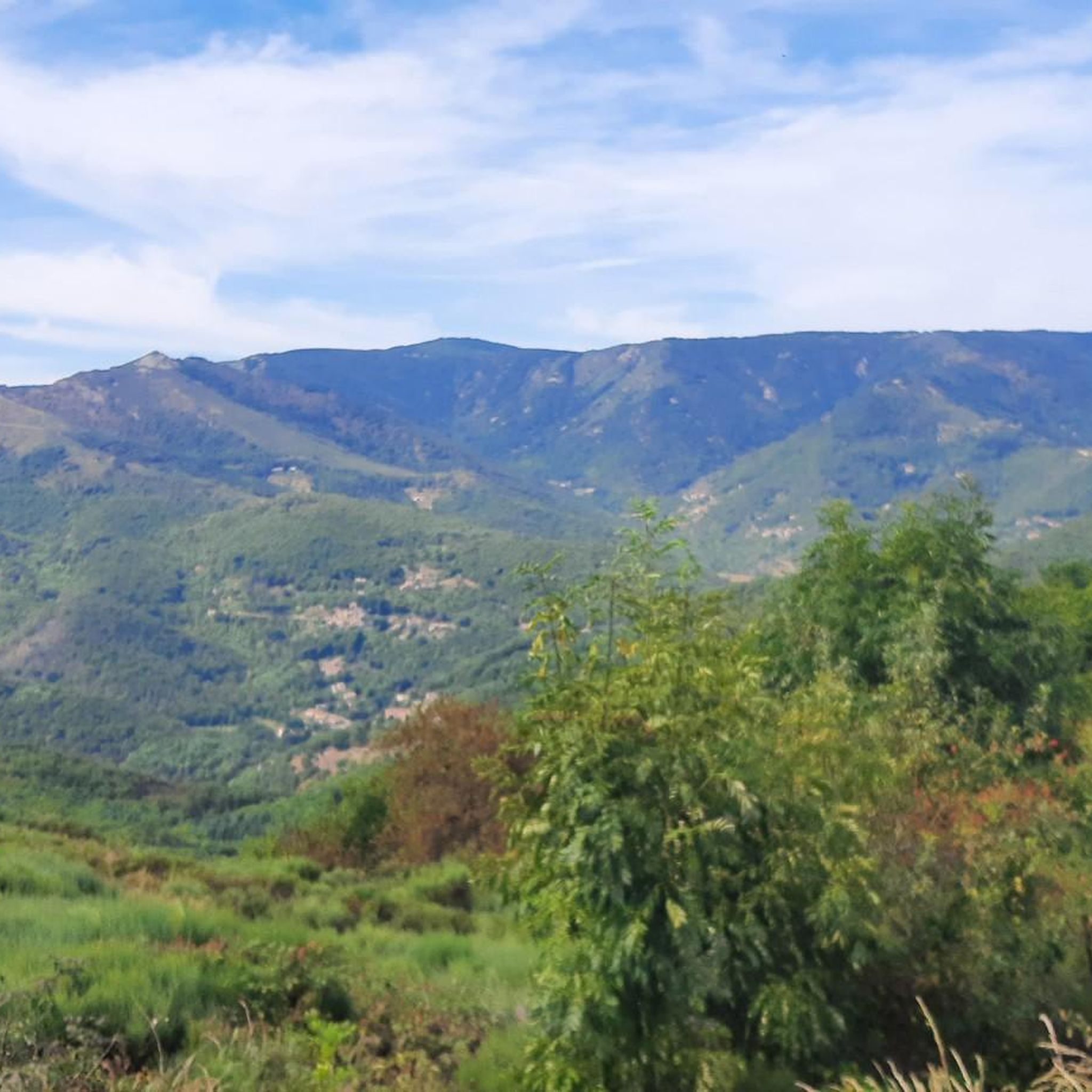
コミュニティからのヒント

Col du Montivernoux 1320m。 Suc de Montivernoux 伝説によると、かつて同じ家族から来た3人の非常に敬虔な羊飼いがいました。一人はソウトロンに住み、もう一人はラシャンプ=ラファエルに住み、最後の一人はサン=タンドレオル=ド=フールシャドに住んでいました。彼らは夜間に灯される火を使ってコミュニケーションをとっていました。ある夜、ソウトロンからの火がありませんでした。翌日、羊飼いは岩の上で死んでいるのが発見されました。彼の模範的な人生を祝うために、地域の住民は岩の上に小さな礼拝堂を建てました。 https://lachamp-raphael.fr/histoire-et-patrimoine/suc-de-montivernoux/
0
0
語源:現在の村の場所にあった古い領地であるMas d’Adamに由来します。この領地は、Mazan修道院を設立するためにGéorantの領主からViviersの司教に譲渡されました。 すべては、村の中心にシトー会修道院が設立されたことから始まります。これは1119年から1122年の間に行われました。12世紀初頭、カノンがMas d’Adam(後にMAZANへと変化する地名)の地に定住し、Bonnevaux修道院から来た修道士たちが合流しました。 これらの聖職者たちは巨大な修道院を建設しましたが、今日ではその遺構しか残っていません。この修道院は、百年戦争まで続く最盛期を迎えました。この修道院から、Bonneval、Sénanque、Sylvanès、le Thoronetの4つの修道院と、尼僧院が生まれました。 この繁栄の時代を経て、Mazan修道院には不幸が続きました。百年戦争中は大部隊によって略奪され、近代にはユグノー派によって攻撃されました。 最後の略奪の前、伝説によれば、修道士たちはすべての宝と共に金の鐘を鋳造し、雄鶏の鳴き声が届く範囲で、牛の目(丸窓)の正面、その向かい側に埋めたとされています。 montagnedardeche.com/patrimoine-culturel/village-de-mazan-labbaye-2387
0
0
Located at an altitude of 1,330 meters, Lachamp-Raphaël is the highest village in the Ardèche. Dominated by the Montivernoux peak, the village offers exceptional panoramic views of the Alps and the Ardèche mountains. https://lachamp-raphael.fr/
0
0
Eight million years old, Mont Gerbier-de-Jonc owes its conical shape to a viscous, cold lava that was unable to flow away. It is at its foot that the Loire River originates, in three places respectively designated as the geographical, authentic, and true sources. What if the Loire, in addition to its long journey to the Atlantic, also flowed into the Mediterranean? This is the intriguing hypothesis formulated by Gilles Clément after climbing the mountain following a period of drought, during which he nevertheless perceived a regular seepage in the rock. He imagines that Mont Gerbier-de-Jonc functions, in part, as a "water tower": a water trap based on the condensation of water vapor from clouds in desert regions. The collected water would flow at the foot of Mont Gerbier, towards the Atlantic Ocean and the Mediterranean Sea. https://www.lepartagedeseaux.fr/le-parcours-artistique/les-oeuvres-in-situ/la-tour-a-eau/
0
0


The Montivernoux peak is located in the Massif Central. It rises to an altitude of 1,441 meters in the Vivarais Mountains. It lies between the communes of Lachamp-Raphaël and Mézilhac. https://lachamp-raphael.fr/histoire-et-patrimoine/suc-de-montivernoux/
0
0
サン・ピエール=ド=コロンビエでのの人気観光スポット

komootモバイルアプリでインスピレーションを得よう


さらに探索
他の地域の最高のロードサイクリングルートを見てみましょう。
