Najbolje MTB staze u Περιφερειακή Ενότητα Χανίων
4,6
(250)
886
Biciklisti
77
Ture
Brdski biciklizam u Περιφερειακή Ενότητα Χανίων jedan je od najboljih načina za istraživanje ovog područja u regiji Grčka. Kako bismo vam pomogli doživjeti najbolje što regija nudi, pregledali smo cijelu našu zbirku ruta za brdski bicikl. Kliknite na bilo koju rutu kako biste pregledali savjete i fotografije drugih brdskih biciklista — i pronašli savršenu mtb stazu za svoju sljedeću vožnju.
Zadnje ažurirano: 5. listopada 2026.
4,6
(23)
70
Biciklisti
50,0km
03:05
620m
620m
Umjerena vožnja brdskim biciklom. Potrebna je dobra kondicija. Pogodno za sve razine vještina.
4,9
(15)
69
Biciklisti
Teška vožnja brdskim biciklom. Potrebna je vrlo dobra kondicija. Pogodno za sve razine vještina.

4,4
(7)
38
Biciklisti
24,6km
02:02
360m
360m
Umjerena vožnja brdskim biciklom. Potrebna je dobra kondicija. Pogodno za sve razine vještina.
4,8
(10)
39
Biciklisti
42,4km
03:15
720m
720m
Umjerena vožnja brdskim biciklom. Potrebna je dobra kondicija. Pogodno za sve razine vještina.
4,9
(8)
27
Biciklisti
Umjerena vožnja brdskim biciklom. Potrebna je dobra kondicija. Pogodno za sve razine vještina.
5,0
(4)
24
Biciklisti
46,3km
03:11
790m
790m
Umjerena vožnja brdskim biciklom. Potrebna je dobra kondicija. Pogodno za sve razine vještina.
5,0
(4)
22
Biciklisti
44,0km
03:04
770m
770m
Umjerena vožnja brdskim biciklom. Potrebna je dobra kondicija. Pogodno za sve razine vještina.
4,6
(11)
33
Biciklisti
Umjerena vožnja brdskim biciklom. Potrebna je dobra kondicija. Pogodno za sve razine vještina.
4,5
(12)
29
Biciklisti
22,4km
01:37
470m
470m
Umjerena vožnja brdskim biciklom. Potrebna je dobra kondicija. Pogodno za sve razine vještina.
10
Biciklisti
41,9km
03:24
930m
930m
Teška vožnja brdskim biciklom. Potrebna je vrlo dobra kondicija. Pogodno za sve razine vještina.
Dobij pristup većem broju ruta i preporuka drugih istraživača.
Već imaš račun?
Naše preporuke ruta temelje se na tisućama pješačenja, vožnji i trčanja koje su drugi obavili na komootu.
Započni danas s besplatnim računom
Tvoja sljedeća avantura čeka.
Popularno oko Περιφερειακή Ενότητα Χανίων
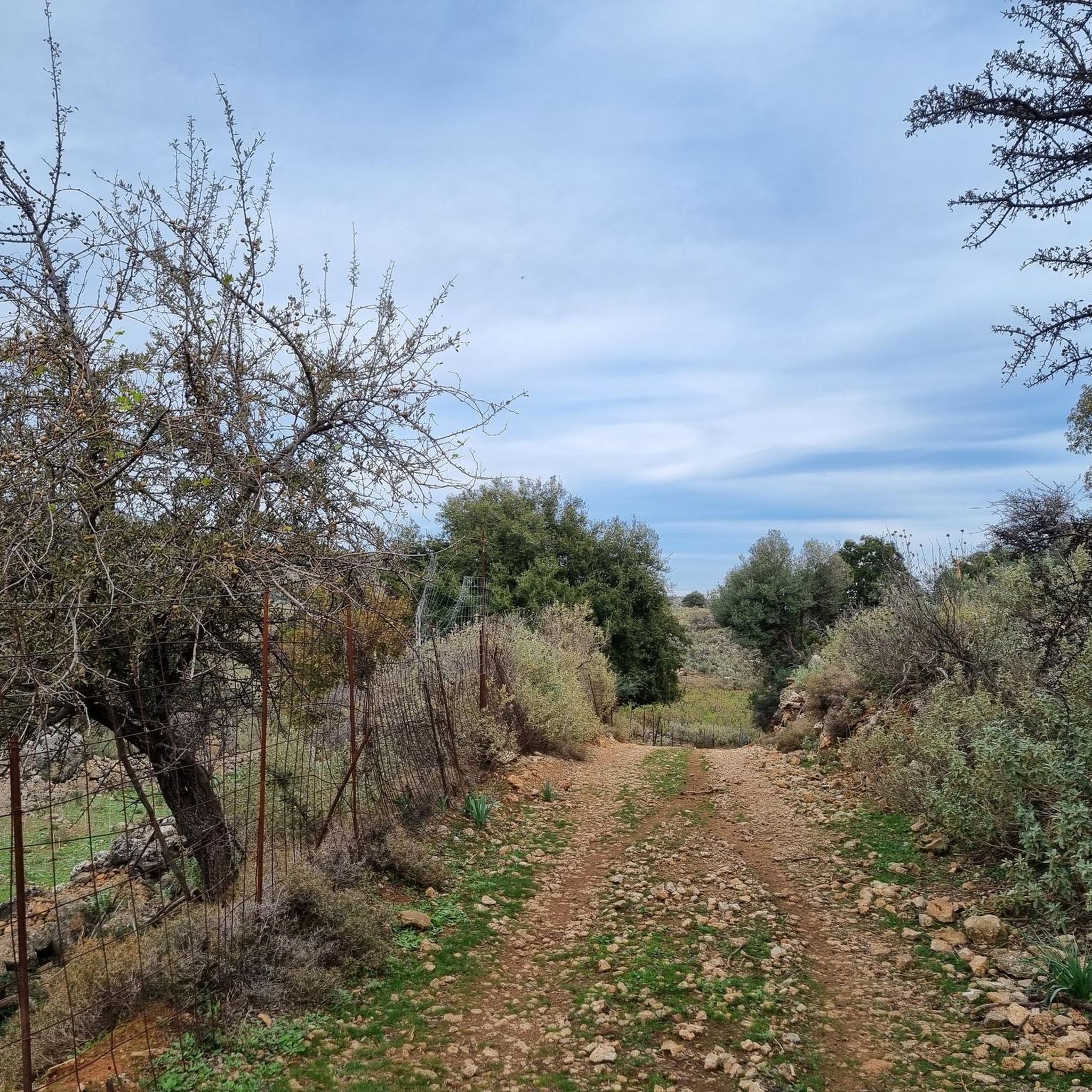
MTB staze u Στύλου - Κατωχωρίου Δήμου Αρμένων Και Κεραμειών
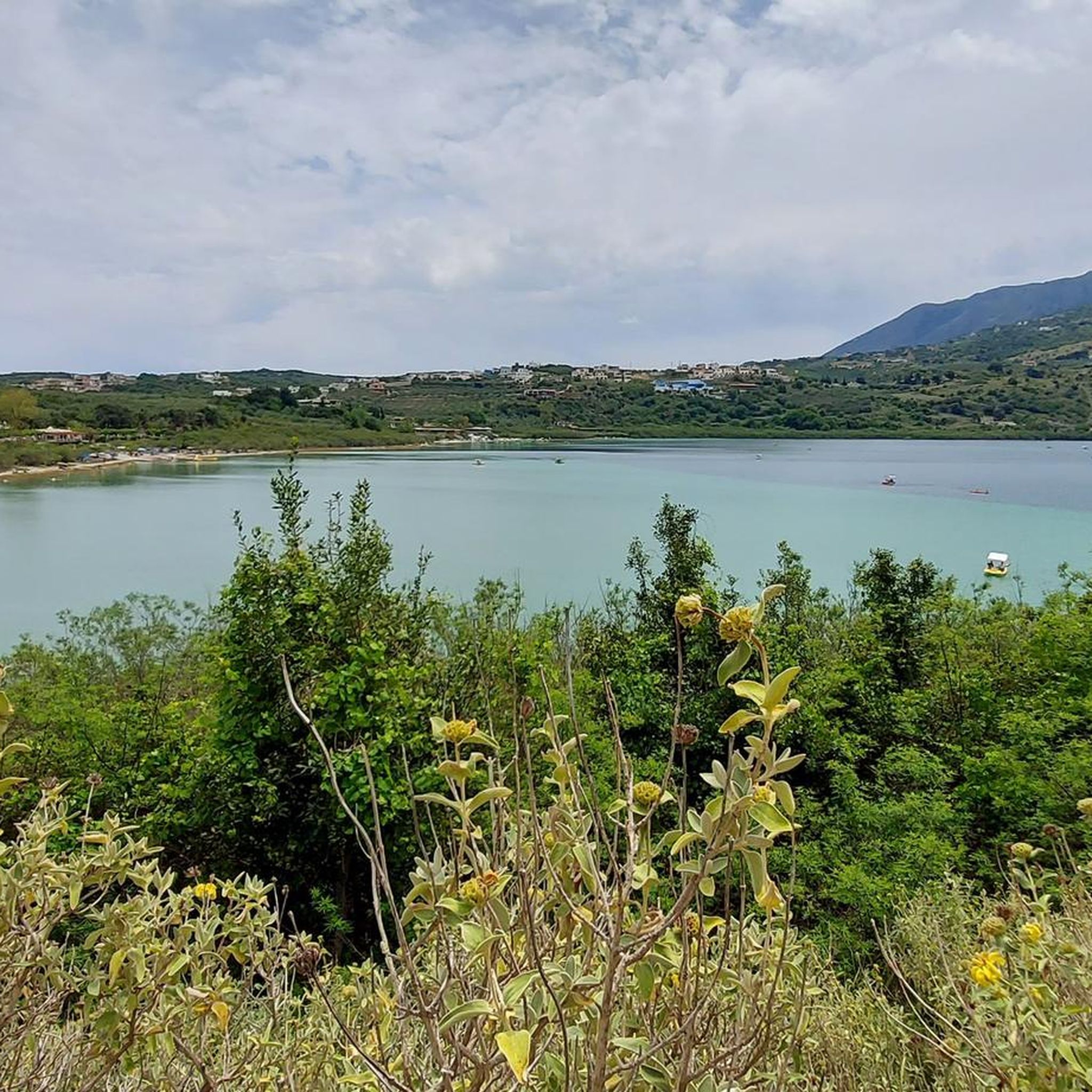
MTB staze oko Λίμνη Κουρνά Δήμου Γεωργιούπολης
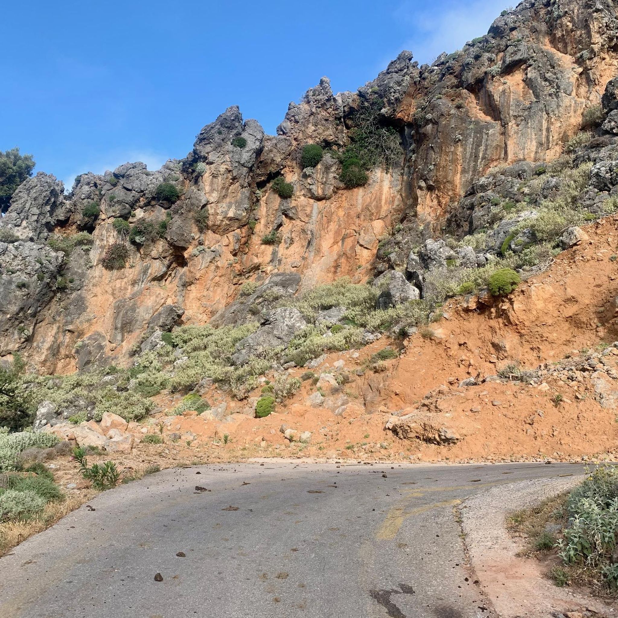
MTB staze u Περισυνάκη - Αγριοκεφάλα - Μανίκα Δήμου Σφακίων
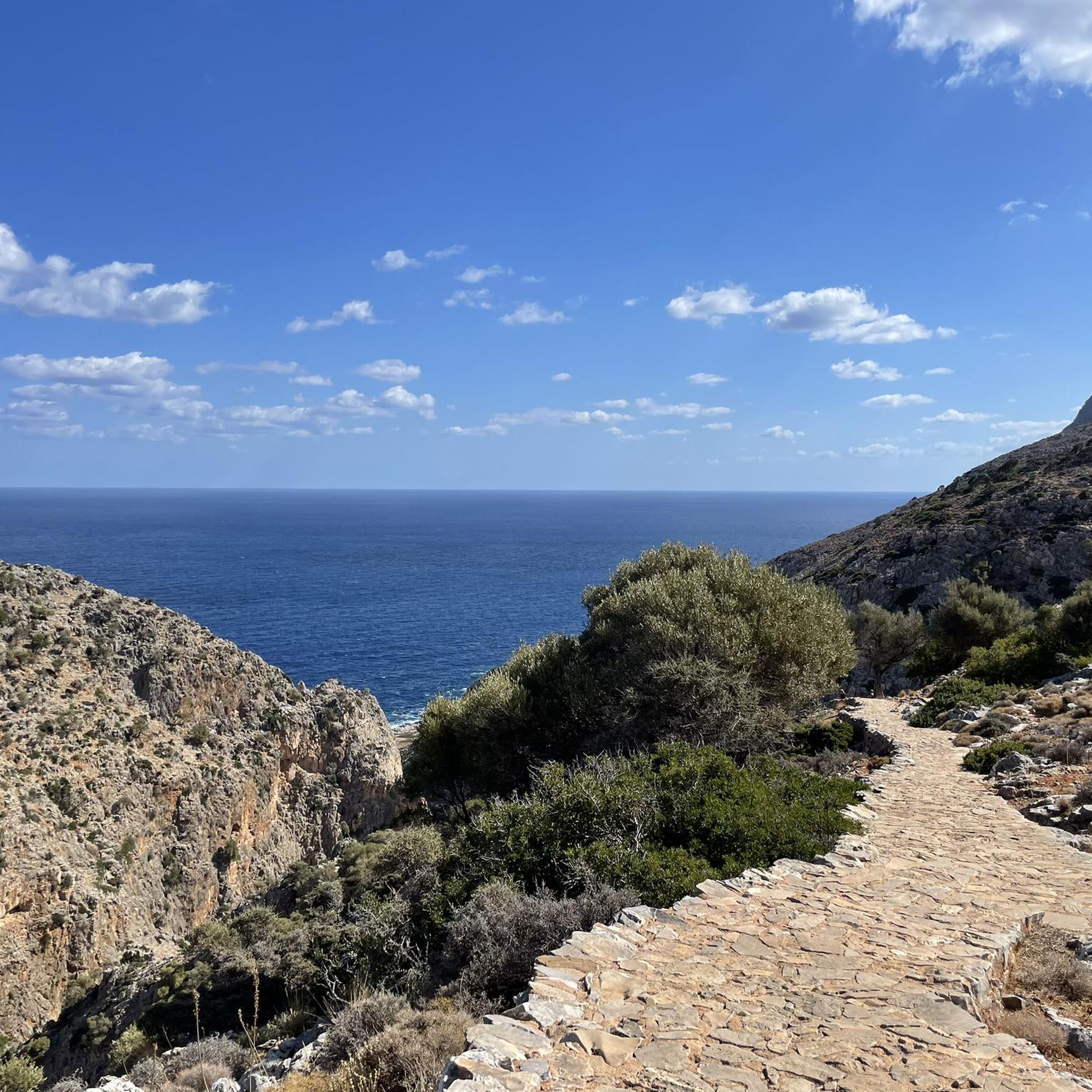
MTB staze u Σταυρό Χορδάκι Δήμου Ακρωτηρίου
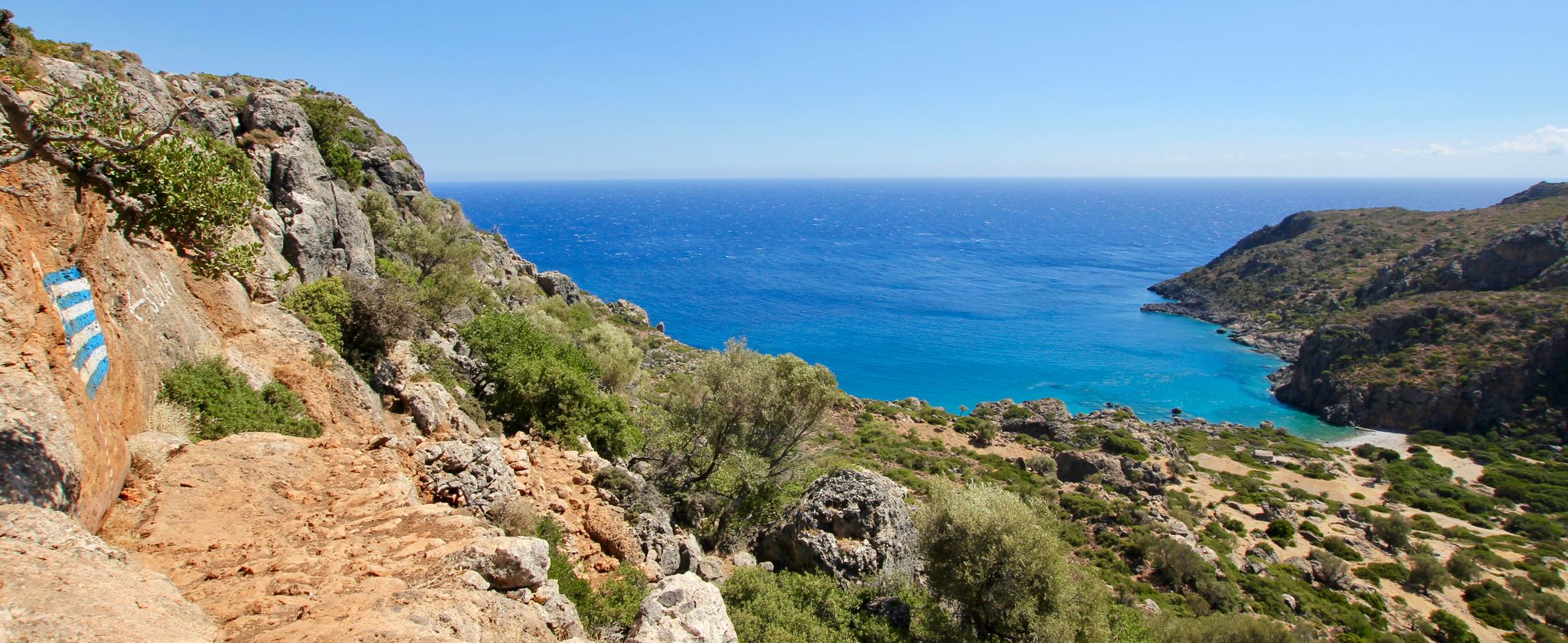
Lonely beaches & deep gorges — hiking in the south of Crete
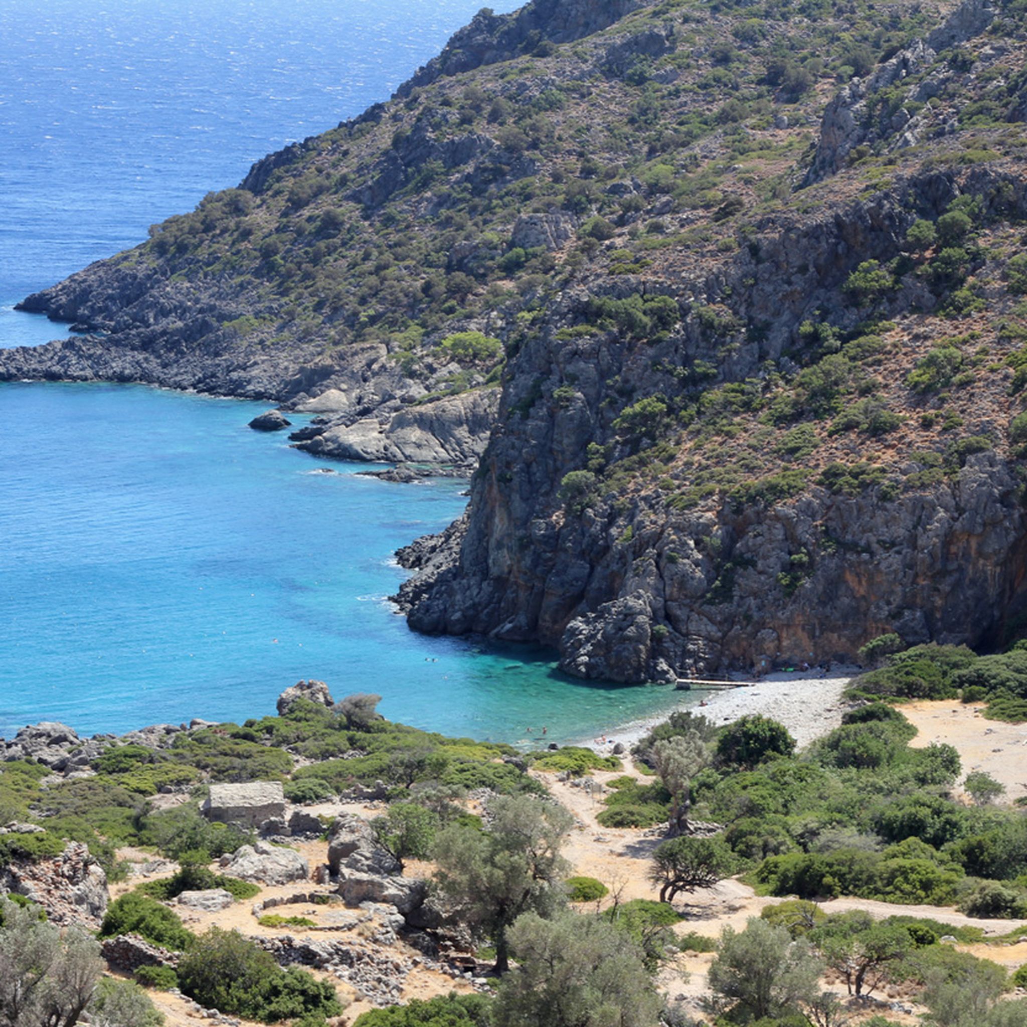
Planinarenje u Περιφερειακή Ενότητα Χανίων
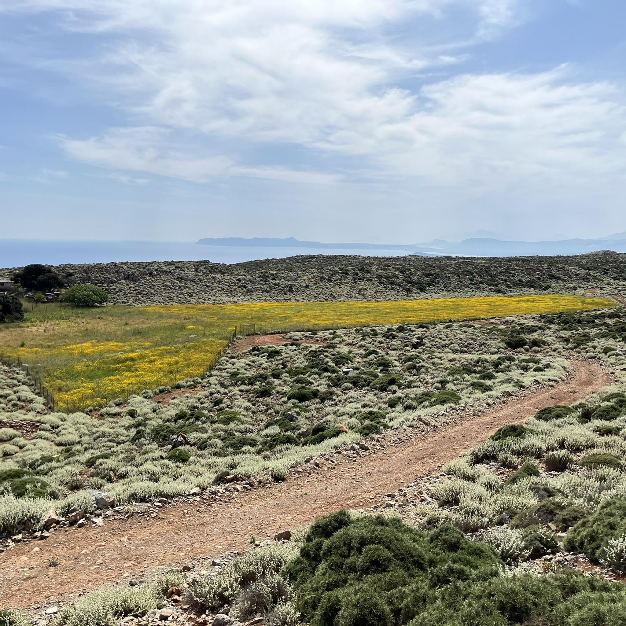
Trkačke staze u Περιφερειακή Ενότητα Χανίων
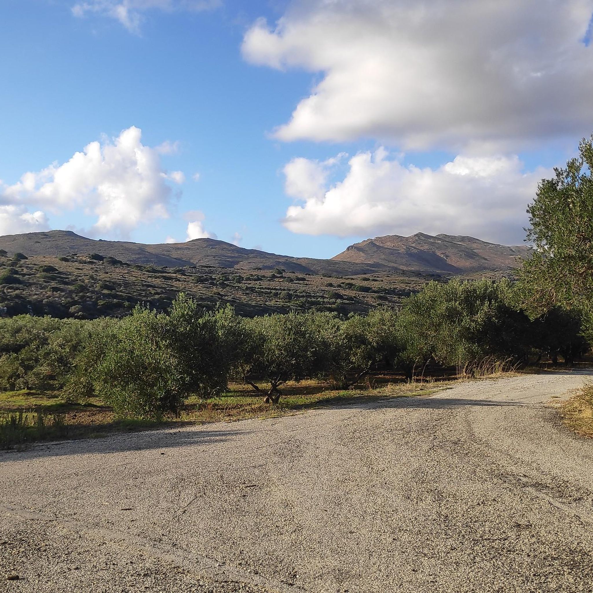
Cestovne biciklističke rute u Περιφερειακή Ενότητα Χανίων
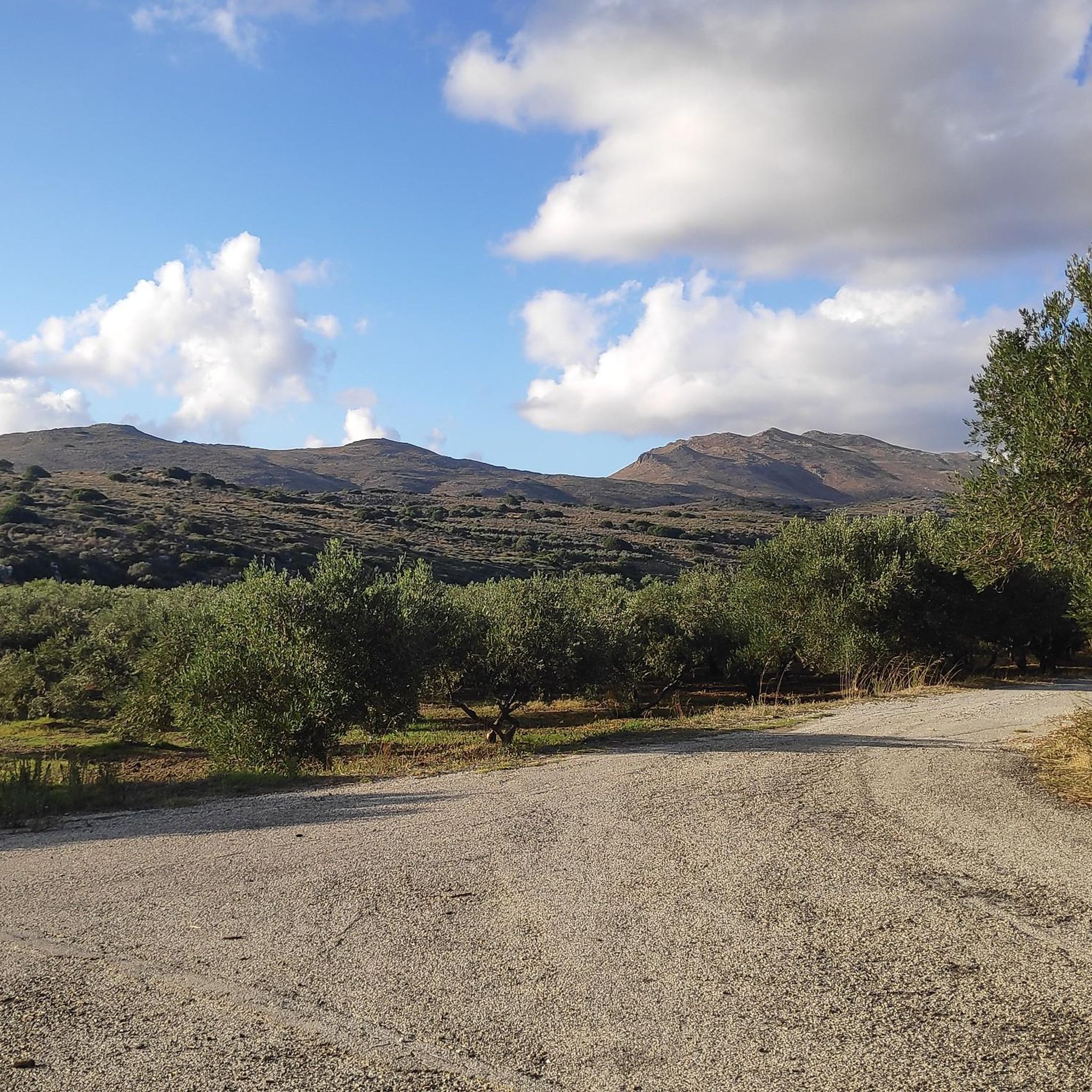
Biciklističke rute u Περιφερειακή Ενότητα Χανίων
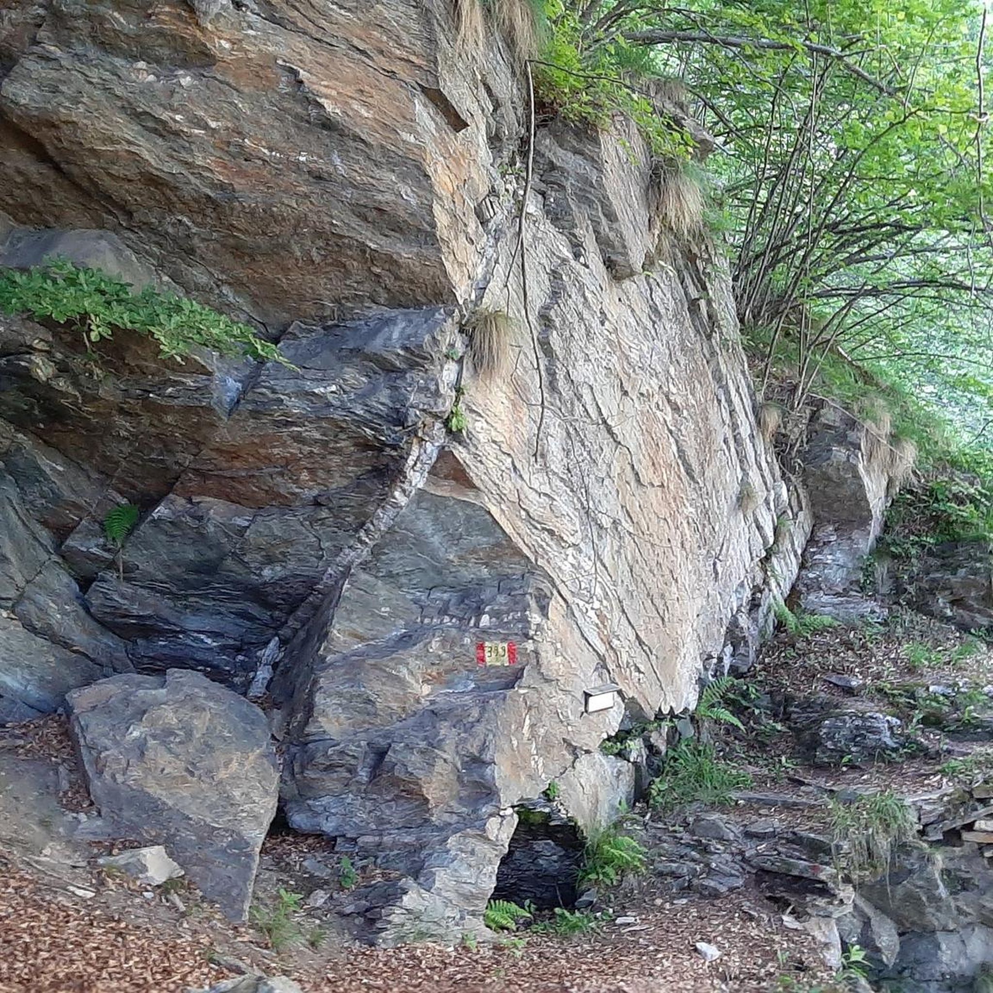
Planinarske staze u Περιφερειακή Ενότητα Χανίων
Druge avanture u Περιφερειακή Ενότητα Χανίων

Savjeti zajednice

Jezero Kournas danas je jedino veliko prirodno jezero na Kreti i nalazi se u čarobnom krajoliku. Okruženo visokim planinama i maslinicima. Nalazi se pored sela Kournas, 2,5 km jugoistočno od plaže Georgioupolis, 43 km istočno od Chanie i 20 km zapadno od Rethymna. Jezero Kournas i njegova okolica čine vrlo važan ekosustav za Grčku. Kournas je jedna od vrlo rijetkih regija Krete gdje su se tijekom godina nakupile ogromne količine slatke vode. Zbog toga je pod zaštitom programa Natura 2000. S jedne strane jezera nalaze se kafići i restorani s pogledom na jezero. Pored kafića, ljeti, kada se razina vode smanji, formiraju se male plaže s bijelim pijeskom. Posjetitelji se mogu kupati na ovim plažama i iznajmiti suncobrane. Posjetitelji također mogu voziti pedaline i kajake. Idealan je izbor za poslijepodne, kada voda dobije prekrasnu boju i mirna je. Jezero se formiralo nakupljanjem podzemnih voda koje dolaze iz planina. Voda izvire iz izvora zvanog Amati ili Mati (znači "oko"), koji je ljeti iznad razine vode u jezeru, dok je zimi skriven ispod površine. Drugi izvor je ispod površine tijekom cijele godine. Jezero je malo, okruglo i obuhvaća površinu od 570 jutara, maksimalne dubine 22,5 metara, duljine 1080 metara i širine 880 metara. Ljeti u jezeru ima 7,5 milijuna kubičnih metara vode. Jezero se napaja rijekom Delfinas. Izvor: cretanbeaches.com/de/str%C3%A4nde-in-kreta/str%C3%A4nde-auf-chania-west-kreta/kournas-see-chania
3
0

Ova impozantna kamena crkva odražava prosperitet koji je selo uživalo krajem devetnaestog i početkom dvadesetog stoljeća. Izgrađena od lokalnog vapnenca, njezina jednostavna, ali elegantna fasada upotpunjena je zasebnim zvonikom i fino izrezbarenim arhitektonskim detaljima. Jedna značajka koja se lako previdi je niz dugih crnih željeznih zateznih šipki pričvršćenih preko prednjeg zida. Ove strukturne potpore postavljene su kako bi se ojačala zidarija protiv učinaka potresa, što je uobičajen zahtjev za velike kamene zgrade na Kreti. Umjesto da narušavaju crkvu, postale su dio njezina karaktera, ilustrirajući praktične prilagodbe potrebne za očuvanje povijesnih zgrada na seizmički aktivnom otoku. Bilo da se zaustavite kako biste se divili njezinoj arhitekturi ili istražili selo, Crkva Agios Nikolaos jedno je od glavnih znamenitosti Vamosa i vrijedi je posjetiti.
1
0
Ova obnovljena minojska grobnica tipa tolos datira iz brončanog doba i pripada pogrebnoj tradiciji jedinstvenoj za južnu i središnju Kretu. Izgrađena od pažljivo složenih vapnenačkih blokova, do grobnice se dolazi uskim, udubljenim prolazom koji vodi do kružne grobne komore, gdje su generacije iste zajednice pokapane tijekom mnogih godina. Masovni kameni portal i konstrukcija na konzolama pokazuju vještinu minojskih graditelja prije više od 3500 godina. Ove grobnice nisu bile izolirana grobišta, već mjesta sjećanja, odražavajući važnost obitelji, predaka i zajednice u minojskom društvu. Stojeći na ulazu, zadivljujuće je pomisliti da je ova tiha komora preživjela potrese, promjenjive civilizacije i tisućljeća povijesti. Nudi izravnu vezu s jednom od najranijih naprednih kultura Europe i vrijedno je odredište za svakoga tko istražuje arheološko nasljeđe Krete.
0
0

Bizantski zidovi Hanije (Chania) izvanredan su podsjetnik na rane gradske utvrde, mnogo prije izgradnje velebnih mletačkih zidina. Ovi drevni ostaci uglavnom se nalaze na brdu Kastelli, s pogledom na Staru luku, gdje je nekoć ponosno stajala bizantska akropola. Datirajući uglavnom u 7. stoljeće pos. Kr., bizantske su utvrde izgrađene preko ranijih helenističkih obrambenih sustava, ponovno koristeći kamenje i arhitektonske ostatke iz antičke Kydonije – grada oštećenog u nekoliko potresa. Kao rezultat toga, zidovi nisu služili samo kao zaštita, već su utjelovili i stoljeća Chaniine povijesti u razvoju. https://chaniaexplorer.com/byzantine-walls/
1
0

The history of Georgioupolis dates back to antiquity, when the region was settled by the Minoans and later by the Romans. However, the present town was only founded in the late 19th century and named after Prince George of Greece, who was High Commissioner of Crete at the time. Originally a small fishing village, Georgioupolis began to develop as a tourist destination in the 1960s, thanks to its idyllic location and the natural beauty of the surrounding area.
3
1
The lagoon, located east of Balos Bay (Όρμος Μπάλος) between the Gramvousa Peninsula and the adjacent Cape Tigani (Ακρωτήρι Τηγάνι, meaning "pan") to the west, has a northern connection to the open sea at Gramvousa Bay (Όρμος Γραμβούσας), to which the lagoon technically belongs. The Cape Tigani Peninsula, approximately one kilometer long and 700 meters wide, rising to a height of 117 meters, is connected to the mainland at Balos only by a shallow, roughly 50-meter-wide isthmus. The lagoon extends east of this land bridge with an east-west extent of about 400 meters and approximately 600 meters south from the open sea.
2
0
Balos Bay lies on the western side of the now uninhabited Gramvousa peninsula. The peninsula, four kilometers wide in the south, stretches 12 kilometers north from the last settlement, Kaliviani, to Cape Vouxa, the northwesternmost point of Crete. At Balos, five kilometers southwest of Cape Vouxa, Gramvousa narrows to about one kilometer in width.
2
0
The Rodopos Peninsula, approximately 18 kilometers long, juts out into the Cretan Sea like an outstretched finger, measuring about 5 kilometers at its widest point. The peninsula is located in the western part of Crete's north coast. To its west lies the Bay of Kissamos and, about 15 kilometers away, the Gramvousa Peninsula with its offshore rocky islets of Imeri Gramvousa and Agria Gramvousa. To the east of Rodopos stretches the Bay of Chania. A mountain ridge runs through the peninsula from north to south, its highest peaks being Onichas (748 meters) and Spitakiou Korfi (646 meters). The northwesternmost point is Cape Spatha, which also marks the northernmost extent of the island of Crete.
2
0
Najpopularnije rute u Περιφερειακή Ενότητα Χανίων
Najpopularnije atrakcije u Περιφερειακή Ενότητα Χανίων

Neka te inspirira komoot mobilna aplikacija


Nisi našao što si tražio?
Pogledaj više MTB staze diljem Περιφερειακή Ενότητα Χανίων dolje i pronađi savršenu rutu na odredištu.
Istraži više
Pregledaj najbolje MTB staze u drugim regijama.
