Οι καλύτερες MTB διαδρομές γύρω από την Παρντούμπιτσε
4,6
(78)
2.157
Ποδηλάτες
168
Ποδηλασίες
Η ποδηλασία βουνού γύρω από το Pardubice προσφέρει ένα ποικίλο τοπίο, που χαρακτηρίζεται από κυματιστούς λόφους, πυκνά δάση και γραφικές κοιλάδες ποταμών. Ενώ η ίδια η πόλη έχει πιο επίπεδο προφίλ, η ευρύτερη περιοχή Pardubický kraj παρουσιάζει πιο απαιτητικές εμπειρίες με κοιλάδες, όχθες ποταμών και βραχώδεις πλαγιές, συμπεριλαμβανομένων των τραχιών Ορέων Železné. Αυτή η ποικίλη τοπογραφία παρέχει μονοπάτια ορεινής ποδηλασίας κατάλληλα για διάφορα επίπεδα δεξιοτήτων. Τα φυσικά χαρακτηριστικά της περιοχής, όπως οι ποταμοί Elbe (Λάμπε) και Chrudimka, συμβάλλουν σε ένα…
Τελευταία ενημέρωση: 25 Αυγούστου 2026
4,9
(12)
309
Ποδηλάτες
39,5km
03:34
1.010m
1.010m
Δύσκολη ορεινή ποδηλασία. Απαιτείται πολύ καλή φυσική κατάσταση. Απαιτούνται προχωρημένες δεξιότητες οδήγησης.
5,0
(12)
334
Ποδηλάτες
11,7km
01:05
350m
350m
Μέτρια ορεινή ποδηλασία. Απαιτείται καλή φυσική κατάσταση. Κατάλληλο για όλα τα επίπεδα δεξιοτήτων.

Εγγραφή δωρεάν
4,6
(8)
118
Ποδηλάτες
24,7km
02:13
570m
570m
Μέτρια ορεινή ποδηλασία. Απαιτείται καλή φυσική κατάσταση. Κατάλληλο για όλα τα επίπεδα δεξιοτήτων.
5,0
(2)
72
Ποδηλάτες
49,5km
04:36
1.180m
1.180m
Δύσκολη ορεινή ποδηλασία. Απαιτείται πολύ καλή φυσική κατάσταση. Απαιτούνται προχωρημένες δεξιότητες οδήγησης.
35
Ποδηλάτες
72,5km
06:17
1.320m
1.320m
Δύσκολη ορεινή ποδηλασία. Απαιτείται πολύ καλή φυσική κατάσταση. Απαιτούνται προχωρημένες δεξιότητες οδήγησης.
36
Ποδηλάτες
40,2km
03:15
530m
530m
Μέτρια ορεινή ποδηλασία. Απαιτείται καλή φυσική κατάσταση. Απαιτούνται προχωρημένες δεξιότητες οδήγησης.
5,0
(1)
39
Ποδηλάτες
64,4km
06:41
1.850m
1.850m
Δύσκολη ορεινή ποδηλασία. Απαιτείται πολύ καλή φυσική κατάσταση. Απαιτούνται προχωρημένες δεξιότητες οδήγησης.
34
Ποδηλάτες
24,9km
02:34
690m
690m
Μέτρια ορεινή ποδηλασία. Απαιτείται καλή φυσική κατάσταση. Απαιτούνται προχωρημένες δεξιότητες οδήγησης.
37
Ποδηλάτες
13,3km
01:17
390m
390m
Μέτρια ορεινή ποδηλασία. Απαιτείται καλή φυσική κατάσταση. Κατάλληλο για όλα τα επίπεδα δεξιοτήτων.
18
Ποδηλάτες
25,4km
02:01
420m
420m
Μέτρια ορεινή ποδηλασία. Απαιτείται καλή φυσική κατάσταση. Κατάλληλο για όλα τα επίπεδα δεξιοτήτων.
Πάρε πρόσβαση σε περισσότερες διαδρομές και προτάσεις από άλλους εξερευνητές.
Εγγραφή δωρεάν
Έχεις ήδη λογαριασμό;
Οι προτάσεις διαδρομών μας βασίζονται σε χιλιάδες πεζοπορίες, ποδηλασίες και τρεξίματα που ολοκληρώθηκαν από άλλους χρήστες στο komoot.
Ξεκίνα σήμερα με έναν δωρεάν λογαριασμό
Η επόμενη περιπέτειά σου σε περιμένει.
Σύνδεση ή εγγραφή
Δημοφιλή γύρω από Παρντούμπιτσε
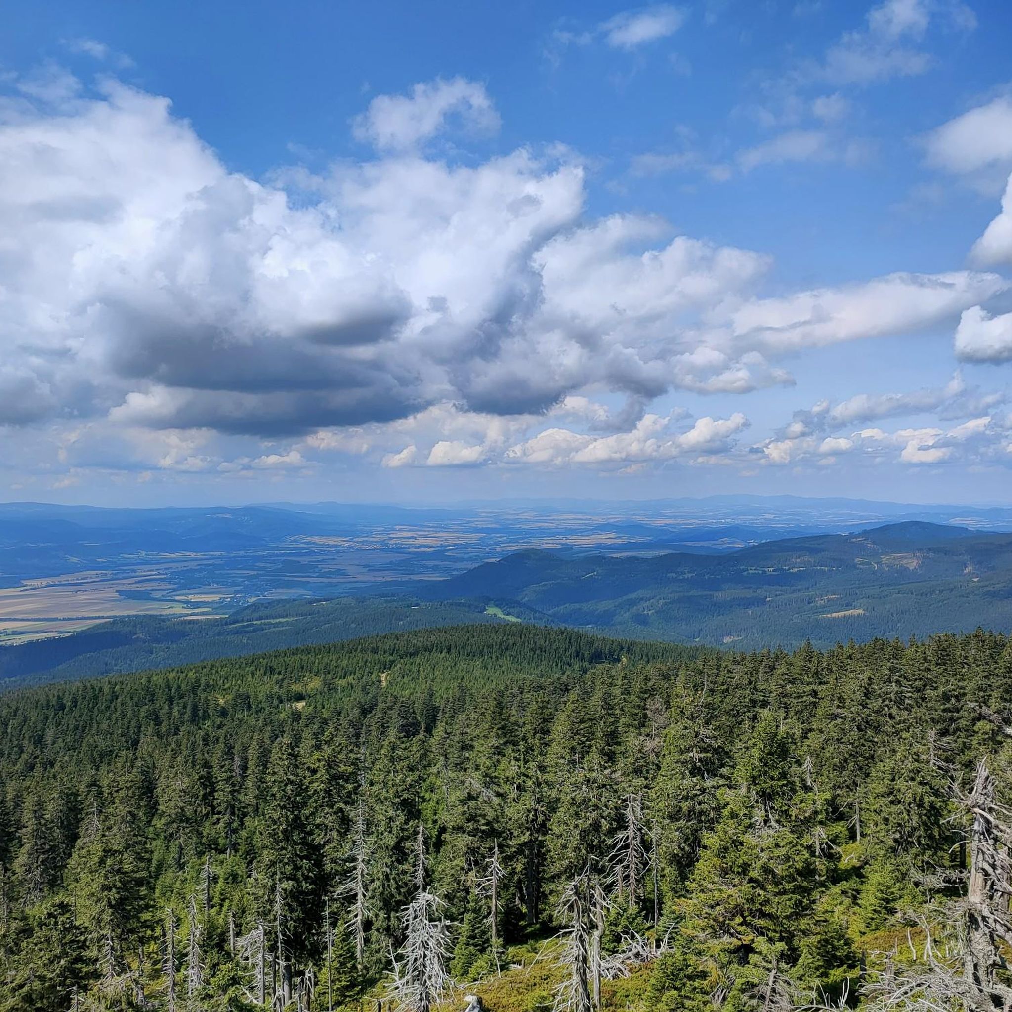
MTB μονοπάτια okres Ústí nad Orlicí
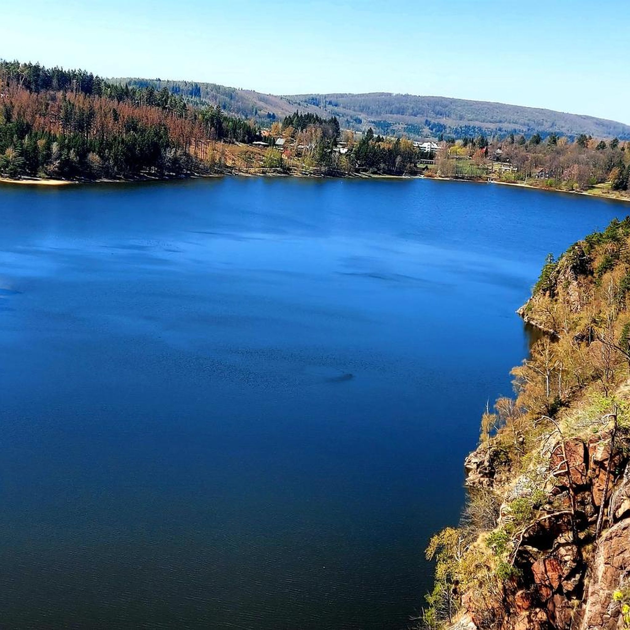
MTB μονοπάτια Chrudim
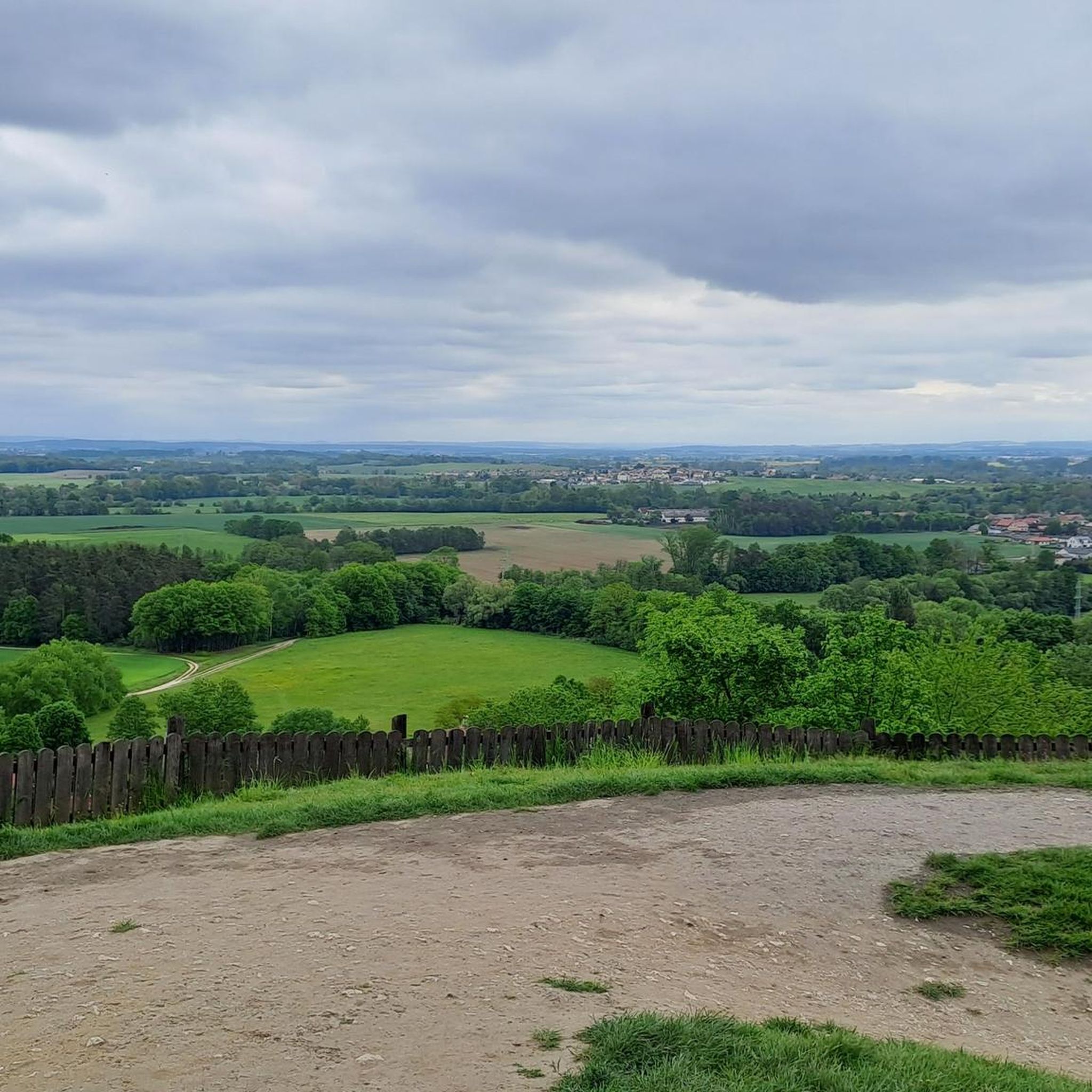
MTB μονοπάτια okres Παρντούμπιτσε
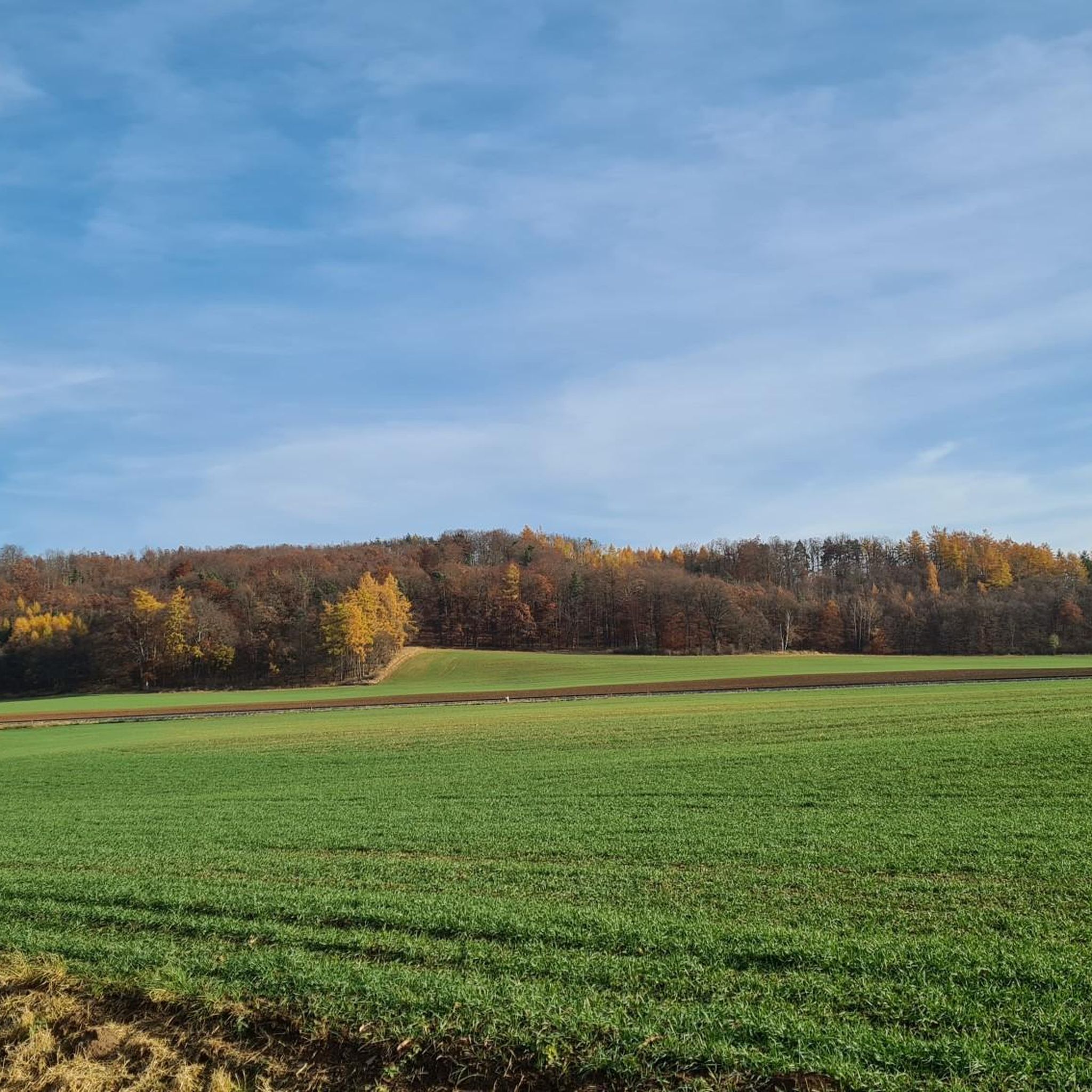
MTB μονοπάτια Svitavy
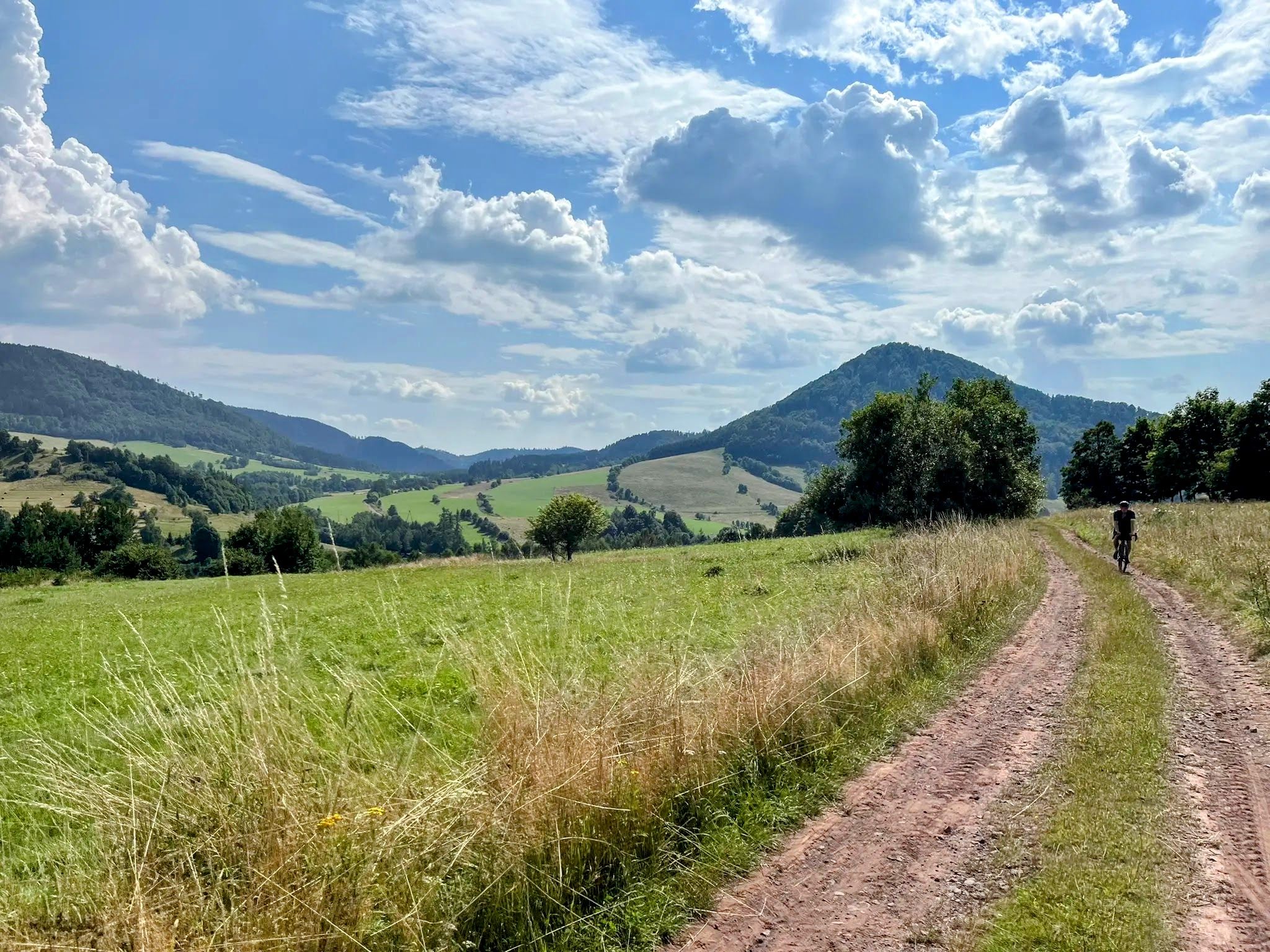
Sudetes Without Borders - Ultra Sudety Gravel Race (USGR)
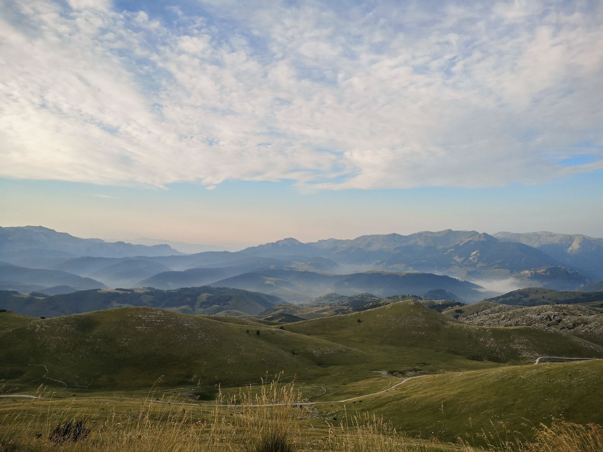
As we wrote history – the Transcontinental Race #TCRN06
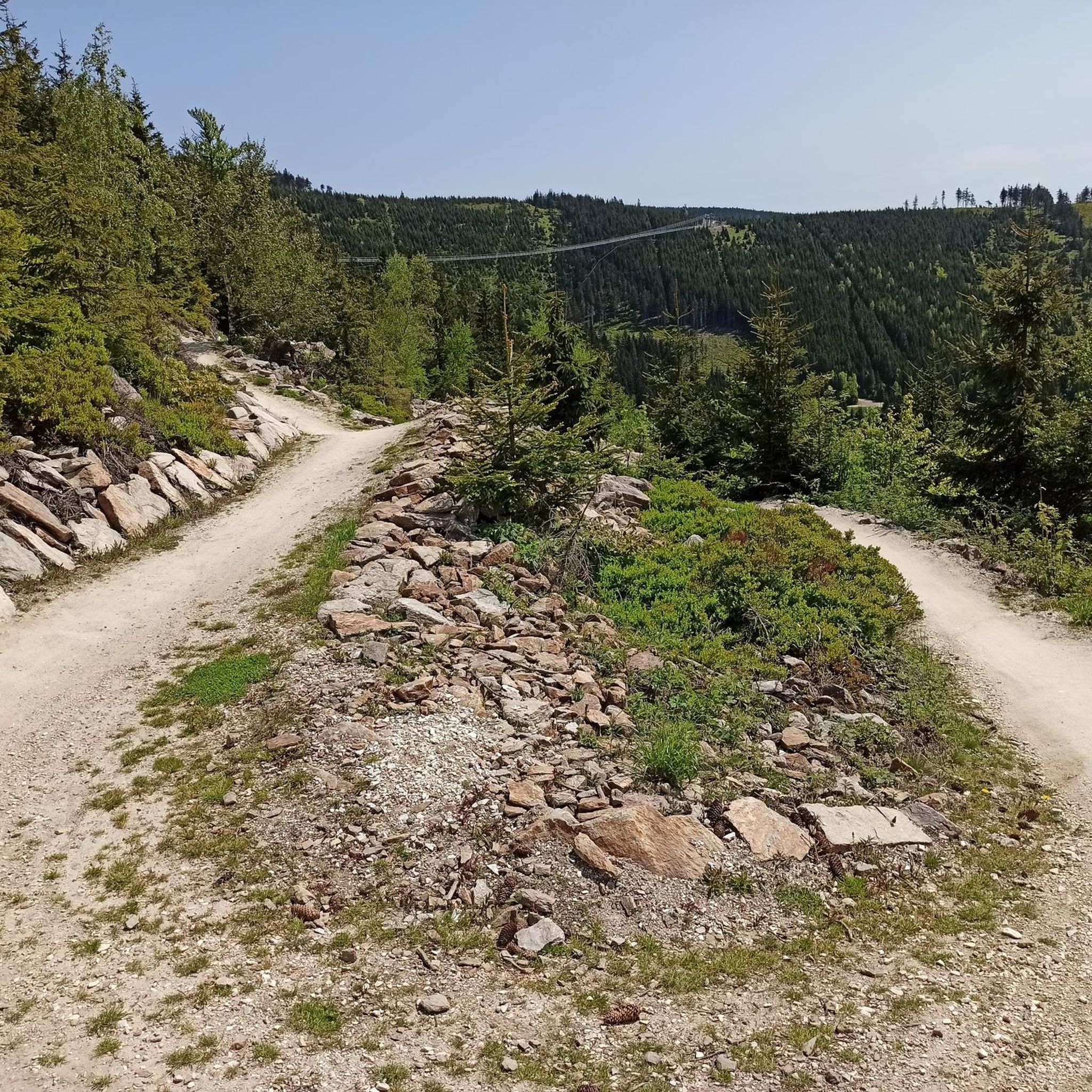
Πεζοπορία Παρντούμπιτσε
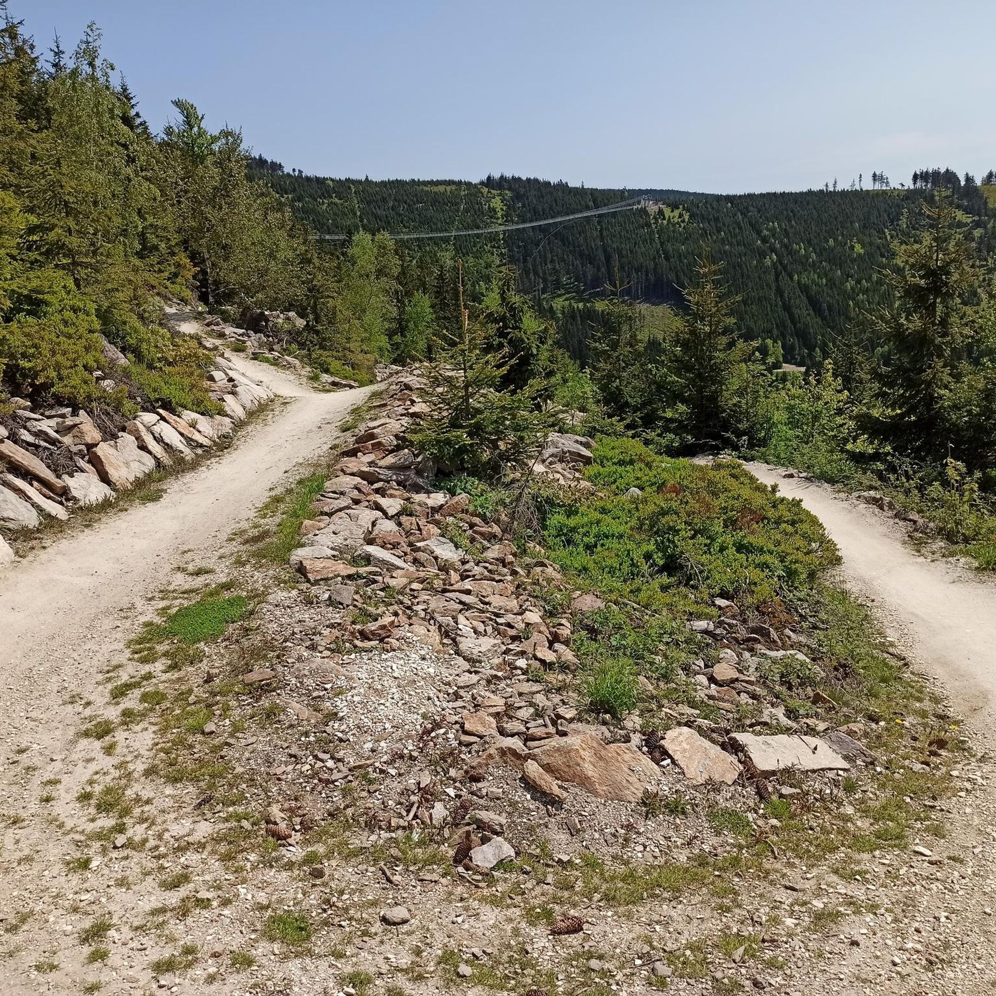
Ποδηλατικές διαδρομές Παρντούμπιτσε
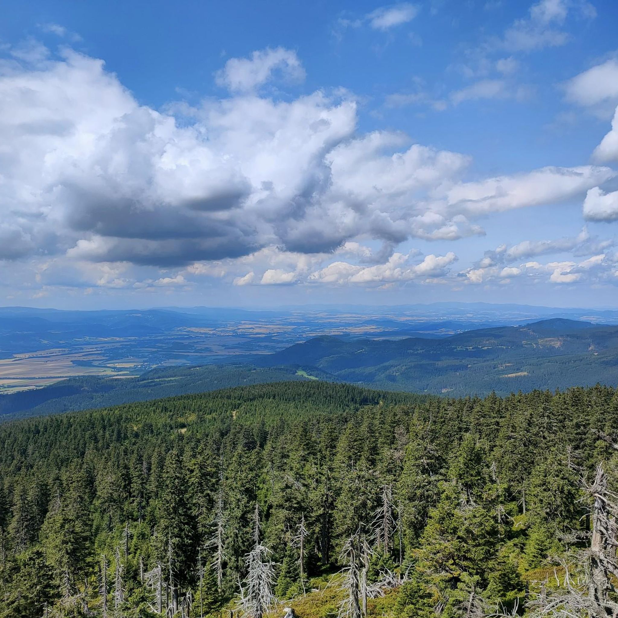
Διαδρομές ποδηλασίας Παρντούμπιτσε
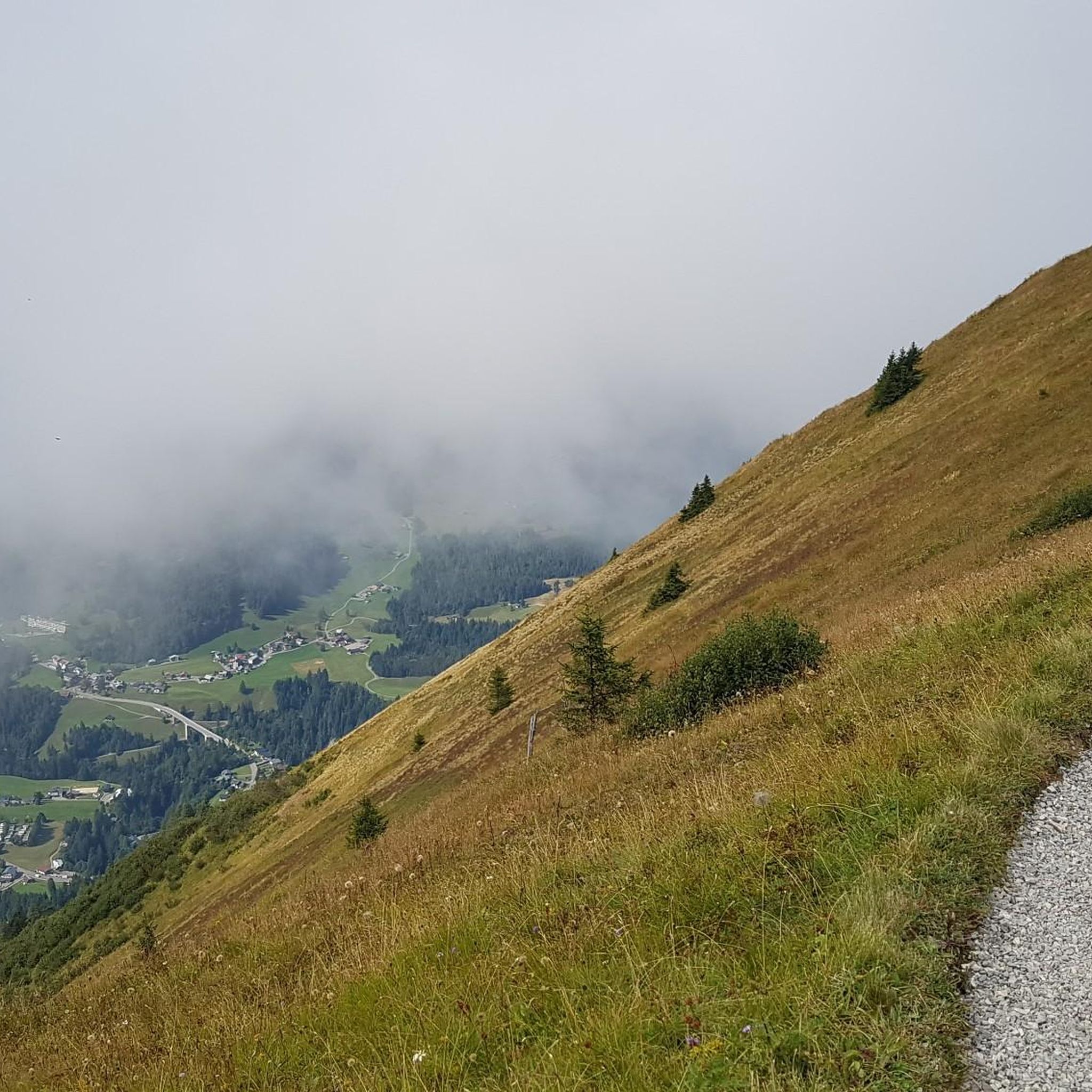
Ορειβασία Παρντούμπιτσε


Συμβουλές από την κοινότητα

The first mention of the development of Śnieżnik Mountain dates back to 1809, when the owner of Międzygórze, Count Wilhelm von Magnis, built barns and shepherd's huts on the mountain pasture below Śnieżnik. In 1838, Międzygórze was purchased by Princess Marianna of Orange, the Lady of Kamieniec Ząbkowicki – daughter of the King of the Netherlands and wife of a Prussian prince. In 1840, she invited her father, King Wilhelm, with whom she reached the summit of Śnieżnik on July 20th. In 1869, the Duchess took over the land on the mountain pasture below Śnieżnik. She commissioned a highlander from Switzerland to build a Swiss mountain hut (Schweizerei am Schneeberg or Schweizerei auf dem Schneeberg) on the mountain pasture below Śnieżnik, which now forms the main part of the mountain hut. Construction was completed in 1871. The building initially served as a tourist inn, with 50 beds and a large dining hall. In the following years, the buildings were modernized several times. In 1872, utility rooms were built on the site of an old dairy farm. In 1880, a meteorological station was opened at the inn. In the 1930s, the inn had 30 beds. After World War II, the building stood empty until 1946. The dilapidated buildings were taken over by "Orbis," renaming it "Szwajcarka." In 1947, the Polish Tatra Mountain Shelter Board took over. The following summer, a shelter was opened, named "Na Śnieżniku" to distinguish it from the "Szwajcarka" shelter in Rudawy Janowickie. In 1950, the building became the property of the Polish Tourist and Sightseeing Society. At that time, the shelter had 63 beds. In the 1980s, the shelter was thoroughly modernized and renovated thanks to the efforts of its then-lessee, Zbigniew Fastnacht, who managed the facility from 1982 to 2001. After his death, in recognition of his achievements, the shelter was named after him.
1
1


WoW was a highlight of our hike on the EB.
7
0

Excellent Blue Flow Trail. Even less experienced bikers and children will enjoy it.
1
0
Buková hora is a peak in the Czech Republic located on the state border in the Orlické Mountains. Buková hora is located in the geomorphological unit Orlické hory, the sub-unit Bukovohorská hornatina, the district Orličský hřbet and the sub-unit Bukovohorský hřbet. Source: Wikipedia Fun guaranteed in winter and summer.
1
0

A mountain hike in the Dolni Morava ski area with unique experiences and impressions. The first destination after the approximately one-hour ascent is to cross the currently second-longest suspension bridge, the "Sky Bridge 721." Height difference: 91 meters to the ground. After a short walk back, past old World War II shooting ranges and information boards about the history of the area, we continue to the Sky Walk, a unique shooting range. (Warm clothing, long pants, and a windproof jacket are recommended. It's usually very windy on the Sky Walk (we're at an altitude of almost 1200 meters). As a reward, you can treat yourself to the longest coaster, the "CZ," and the second-longest summer toboggan run in Europe. Alternatively, you can take the chairlift or walk down the ski slopes to the valley to the starting point.
2
0
Kladské sedlo is a mountain saddle separating Králický Sněžník and Rychlebské Mountains. It lies north-northwest of the village of Kunčice on the border between the Czech Republic and Poland (border crossing Staré Město / Nowa Morawa). The road from Moravia to Kladsko passed through Kladsko. From Staré Město pod Sněžník, road II/446 leads to the saddle, which runs through the Krupá valley. The former customs house is the Kladské sedlo Cottage. The cottage is located in the middle of the mountain saddle at an altitude of 816 meters, just a few steps from the Polish border. It offers accommodation for 1 to 17 people in 4 bedrooms. On Kladské sedlo, a few meters from the cottage, there is also a covered shelter with seating and a fireplace.
0
0

A crossroads of trails under the last climb to the shelter, a nice place for a short rest. Next to the path there is a tourist information board, a table with benches and a small chapel/obelisk of the "Three Saints".
0
0
Οι πιο δημοφιλείς διαδρομές γύρω από την Παρντούμπιτσε
Τα πιο δημοφιλή αξιοθέατα γύρω από την Παρντούμπιτσε

Εμπνεύσου με την εφαρμογή komoot για κινητά


Δεν βρήκες αυτό που ψάχνεις;
Δες περισσότερα MTB μονοπάτια σε όλη την περιοχή Παρντούμπιτσε παρακάτω και βρες την τέλεια διαδρομή στον προορισμό σου.
Ανακάλυψε περισσότερα
Περιηγήσου τα καλύτερα MTB μονοπάτια σε άλλες περιοχές.
