Οι καλύτερες διαδρομές τρεξίματος στο Άνω Παλατινάτο
4,4
(6039)
104.384
Δρομείς
7.175
Διαδρομές τρεξίματος
Το τρέξιμο Άνω Παλατινάτο είναι ένας από τους καλύτερους τρόπους να εξερευνήσετε περισσότερο αυτή την περιοχή. Για να σας βοηθήσουμε να ανακαλύψετε τις πιο όμορφες διαδρομές τρεξίματος, εξετάσαμε ολόκληρη τη συλλογή μας Άνω Παλατινάτο — και σας παρουσιάζουμε τις καλύτερες διαδρομές τρεξίματος. Κάντε κλικ σε οποιαδήποτε διαδρομή για περισσότερες λεπτομέρειες και δείτε πραγματικές συμβουλές και φωτογραφίες από άλλους δρομείς.
Τελευταία ενημέρωση: 16 Σεπτεμβρίου 2026
4,5
(8)
727
Δρομείς
Δύσκολο τρέξιμο. Απαιτείται πολύ καλή φυσική κατάσταση. Κυρίως ασφαλτοστρωμένες επιφάνειες. Κατάλληλο για όλα τα επίπεδα δεξιοτήτων.
3,7
(73)
771
Δρομείς
6,28km
00:39
20m
20m
Μέτριο τρέξιμο. Απαιτείται καλή φυσική κατάσταση. Κυρίως ασφαλτοστρωμένες επιφάνειες. Κατάλληλο για όλα τα επίπεδα δεξιοτήτων.

4,7
(41)
676
Δρομείς
9,18km
00:57
30m
30m
Μέτριο τρέξιμο. Απαιτείται καλή φυσική κατάσταση. Κυρίως ασφαλτοστρωμένες επιφάνειες. Κατάλληλο για όλα τα επίπεδα δεξιοτήτων.
4,8
(53)
704
Δρομείς
Μέτριο τρέξιμο. Απαιτείται καλή φυσική κατάσταση. Κυρίως ασφαλτοστρωμένες επιφάνειες. Κατάλληλο για όλα τα επίπεδα δεξιοτήτων.
4,8
(17)
722
Δρομείς
Μέτριο τρέξιμο. Απαιτείται καλή φυσική κατάσταση. Κυρίως ασφαλτοστρωμένες επιφάνειες. Κατάλληλο για όλα τα επίπεδα δεξιοτήτων.
4,8
(62)
695
Δρομείς
Μέτριο τρέξιμο. Απαιτείται καλή φυσική κατάσταση. Κυρίως ασφαλτοστρωμένες επιφάνειες. Κατάλληλο για όλα τα επίπεδα δεξιοτήτων.
4,8
(50)
546
Δρομείς
Μέτριο τρέξιμο. Απαιτείται καλή φυσική κατάσταση. Κυρίως ασφαλτοστρωμένες επιφάνειες. Κατάλληλο για όλα τα επίπεδα δεξιοτήτων.
4,6
(31)
496
Δρομείς
7,13km
00:47
10m
10m
Μέτριο τρέξιμο. Απαιτείται καλή φυσική κατάσταση. Κυρίως ασφαλτοστρωμένες επιφάνειες. Κατάλληλο για όλα τα επίπεδα δεξιοτήτων.
3,9
(15)
410
Δρομείς
6,67km
00:42
10m
10m
Μέτριο τρέξιμο. Απαιτείται καλή φυσική κατάσταση. Κυρίως ασφαλτοστρωμένες επιφάνειες. Κατάλληλο για όλα τα επίπεδα δεξιοτήτων.
4,0
(13)
404
Δρομείς
5,55km
00:34
10m
10m
Μέτριο τρέξιμο. Απαιτείται καλή φυσική κατάσταση. Κυρίως ασφαλτοστρωμένες επιφάνειες. Κατάλληλο για όλα τα επίπεδα δεξιοτήτων.
Πάρε πρόσβαση σε περισσότερες διαδρομές και προτάσεις από άλλους εξερευνητές.
Έχεις ήδη λογαριασμό;
Οι προτάσεις διαδρομών μας βασίζονται σε χιλιάδες πεζοπορίες, ποδηλασίες και τρεξίματα που ολοκληρώθηκαν από άλλους χρήστες στο komoot.
Ξεκίνα σήμερα με έναν δωρεάν λογαριασμό
Η επόμενη περιπέτειά σου σε περιμένει.
Δημοφιλή γύρω από Άνω Παλατινάτο
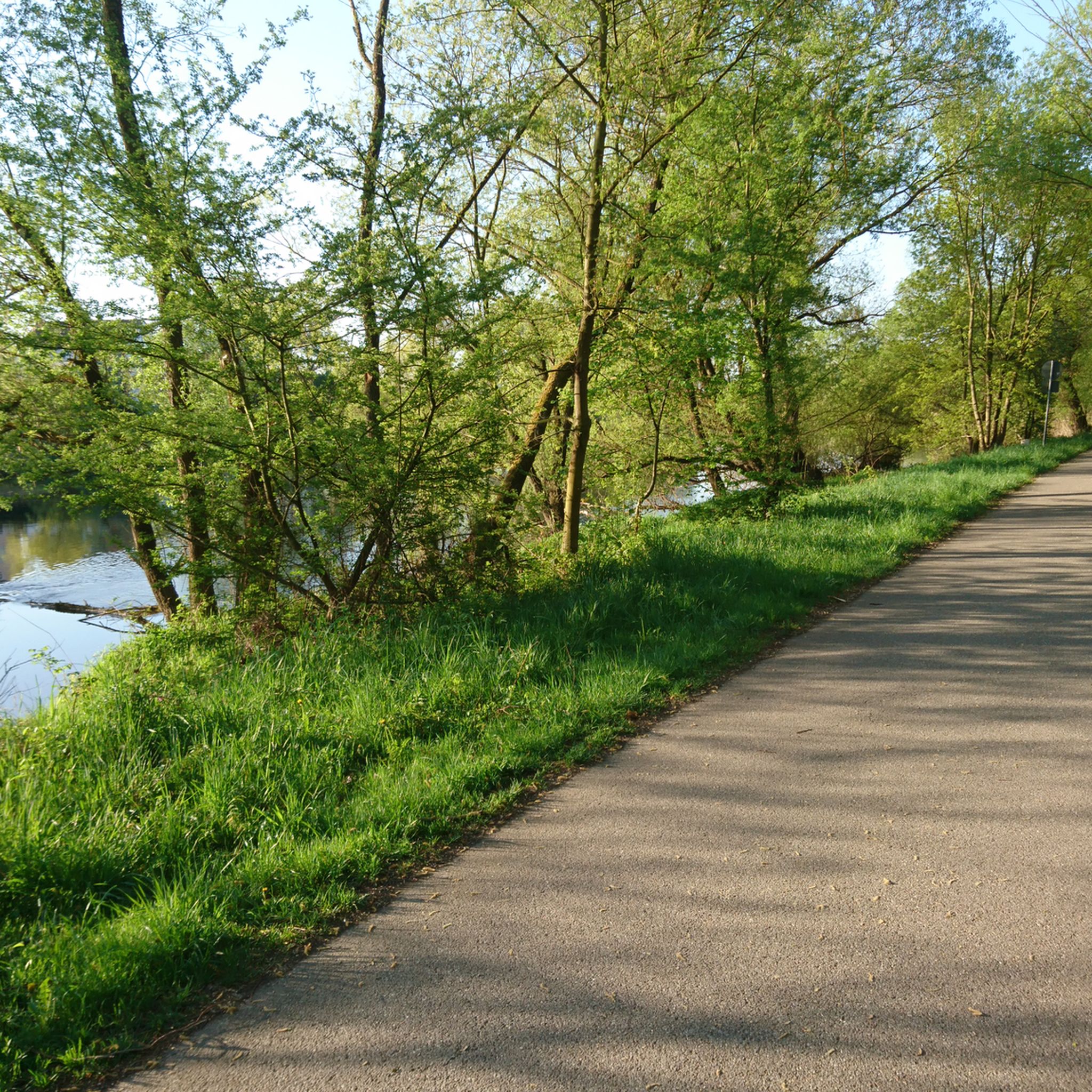
Διαδρομές τρεξίματος Landkreis Regensburg
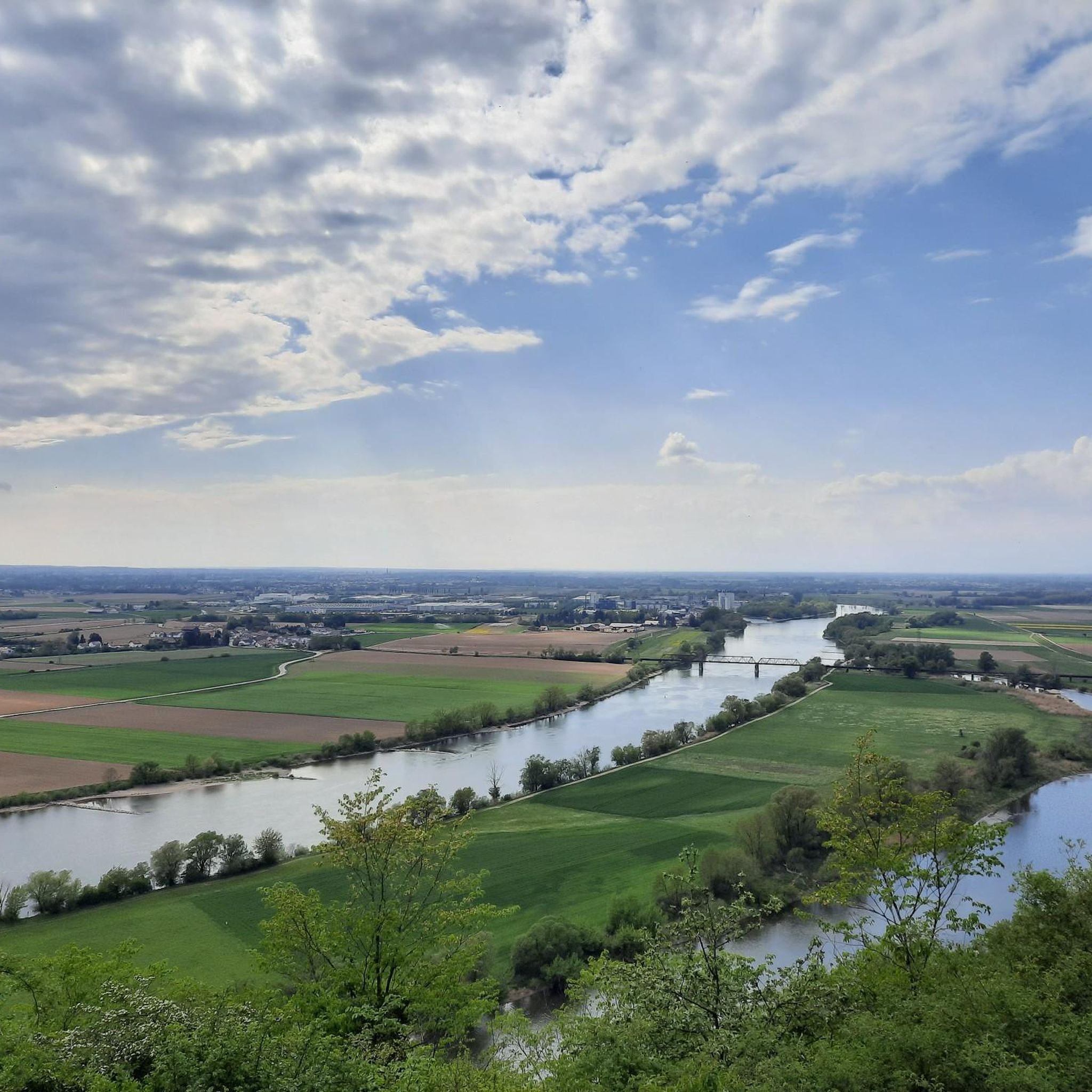
Διαδρομές τρεξίματος κοντά σε Bavarian Forest
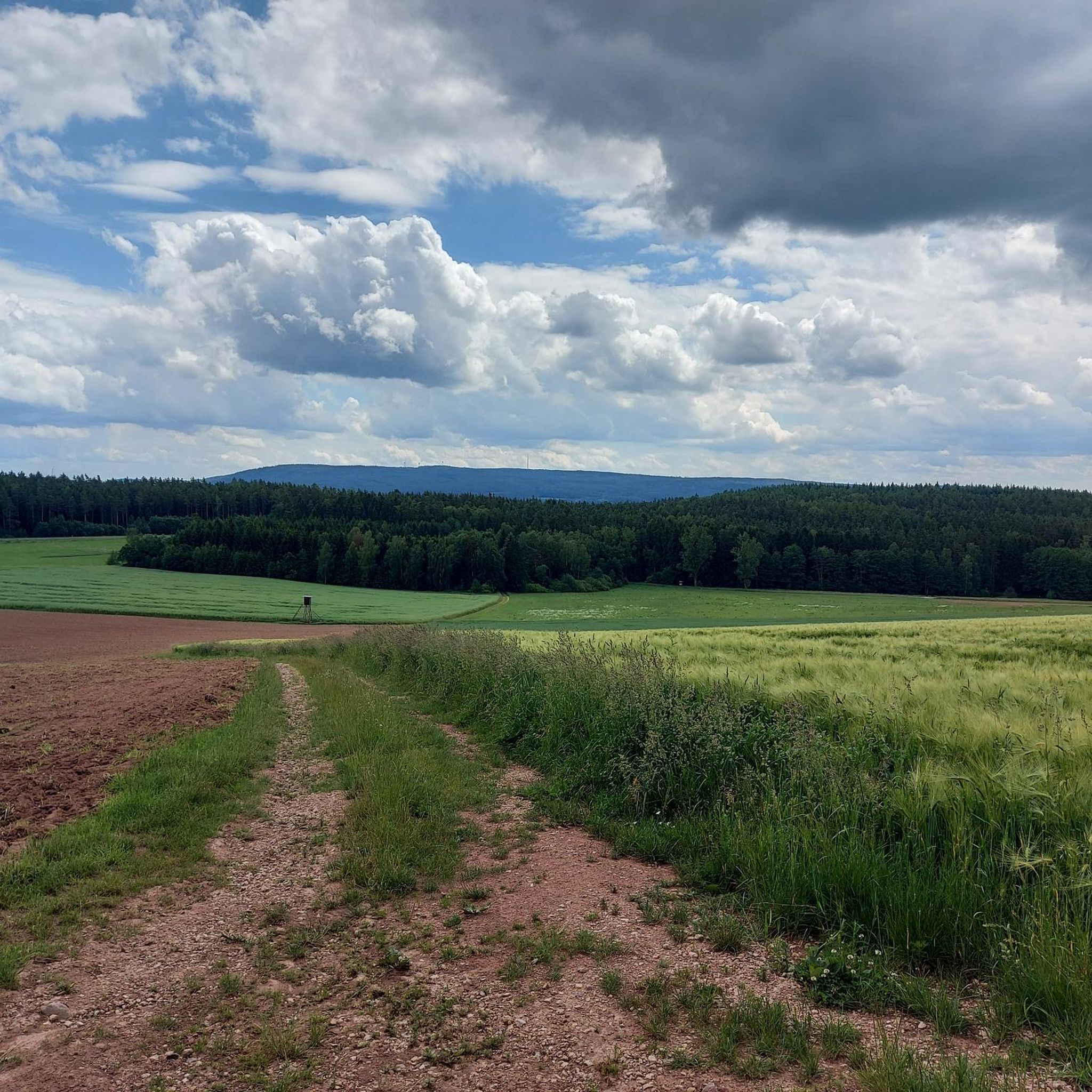
Διαδρομές τρεξίματος Landkreis Neustadt an der Waldnaab
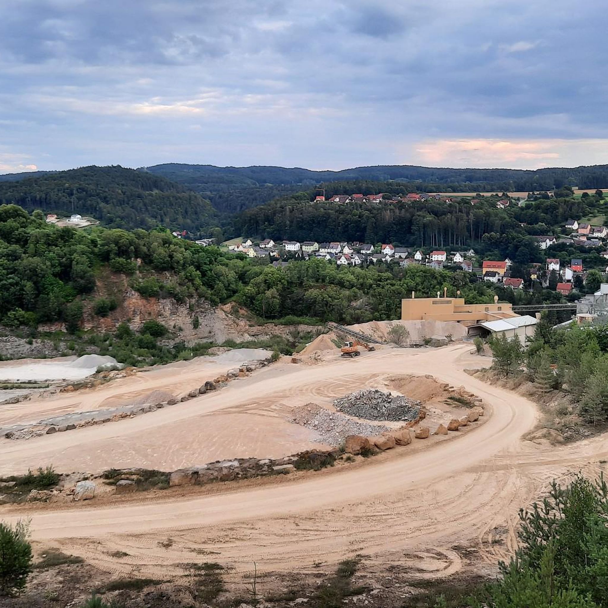
Διαδρομές τρεξίματος Landkreis Amberg-Sulzbach
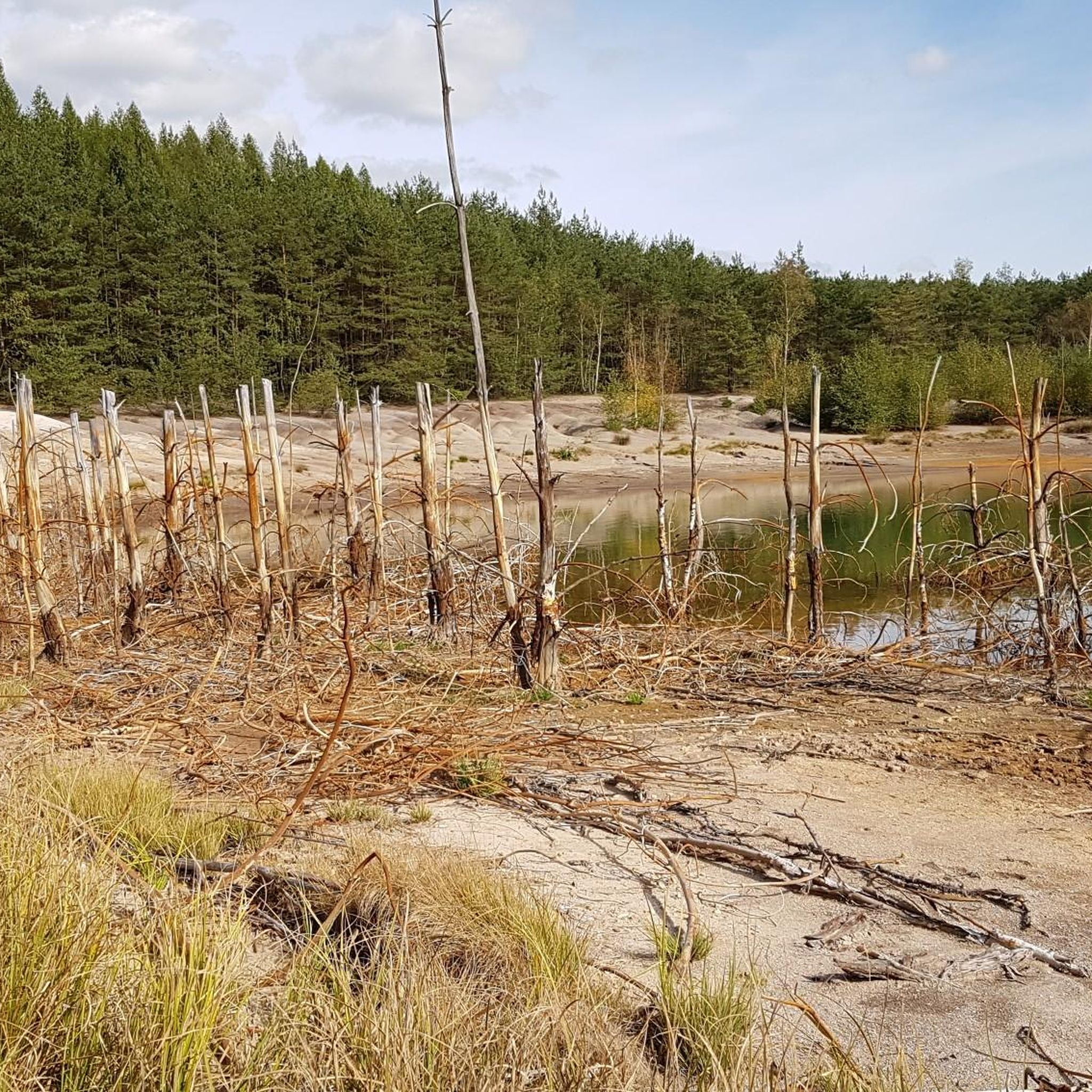
Διαδρομές τρεξίματος κοντά σε Schwandorf
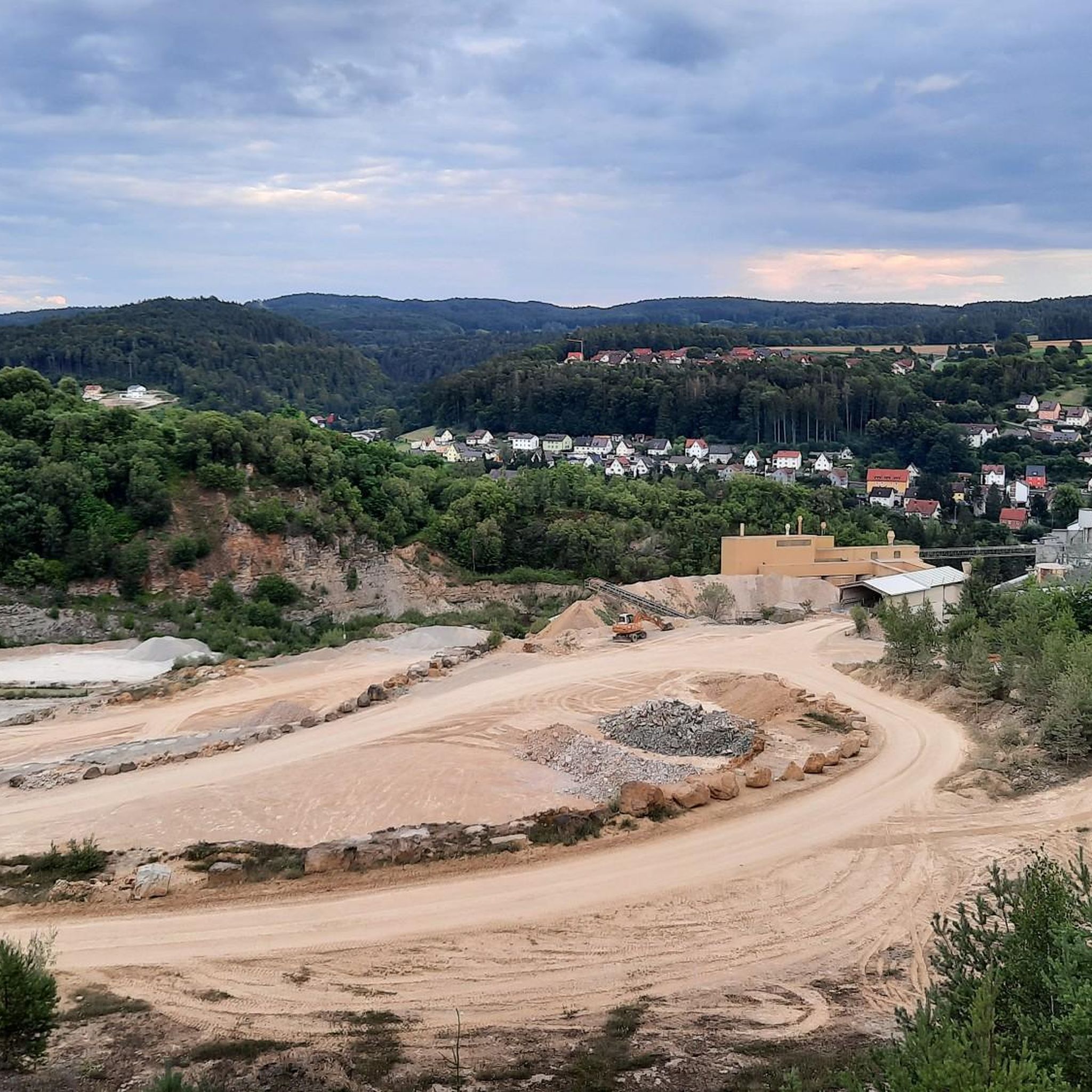
Διαδρομές τρεξίματος Amberg-Sulzbach
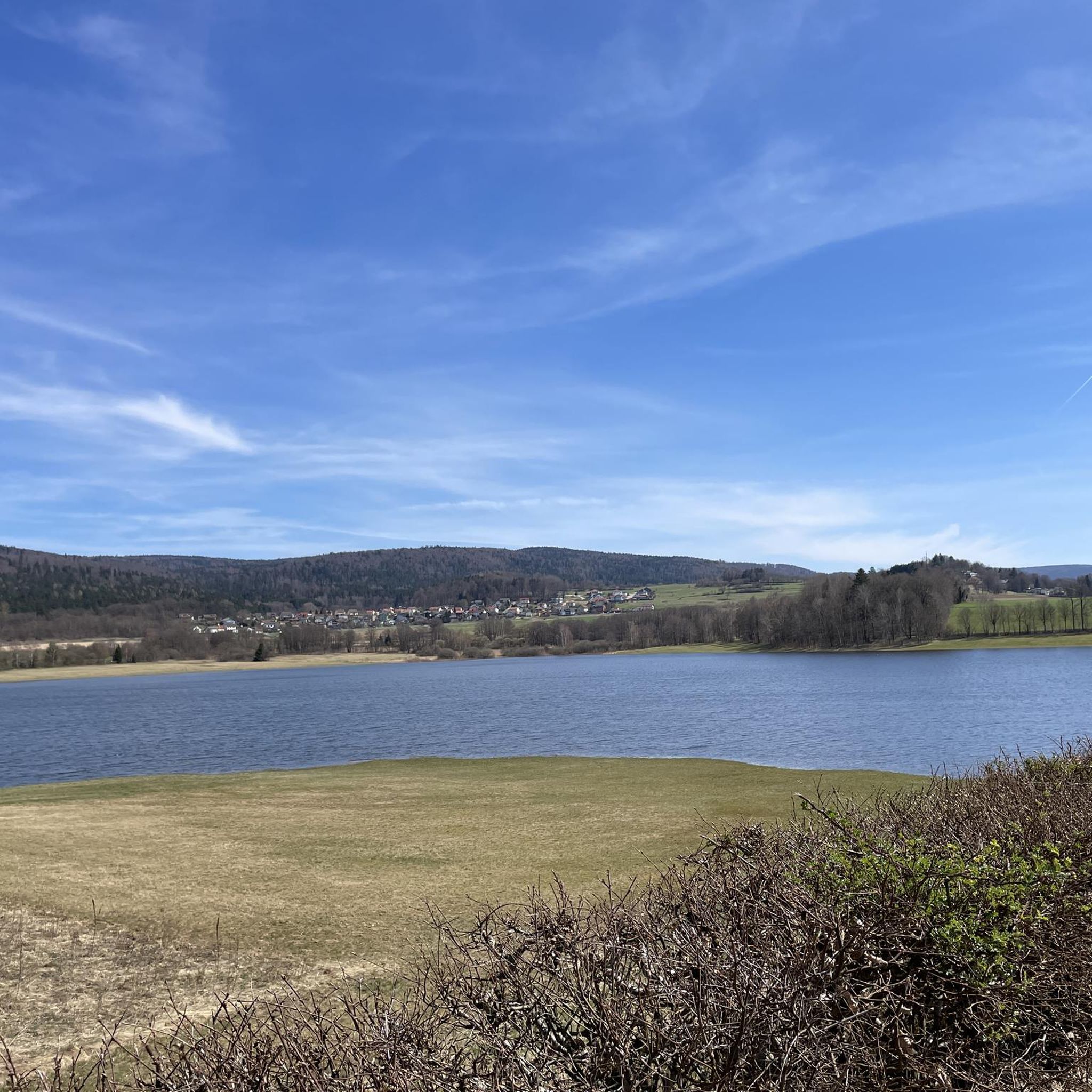
Διαδρομές τρεξίματος Cham
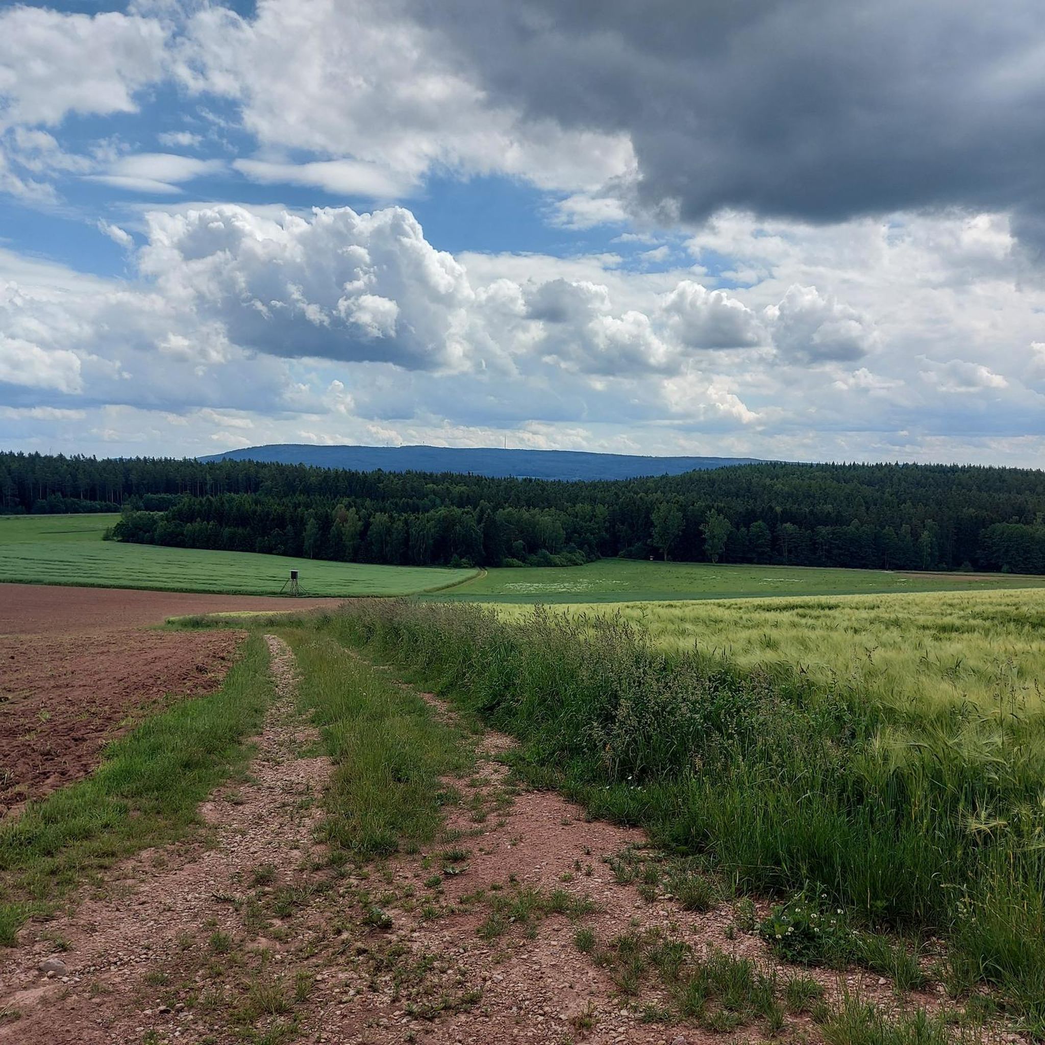
Διαδρομές τρεξίματος Landkreis Neustadt an der Waldnaab
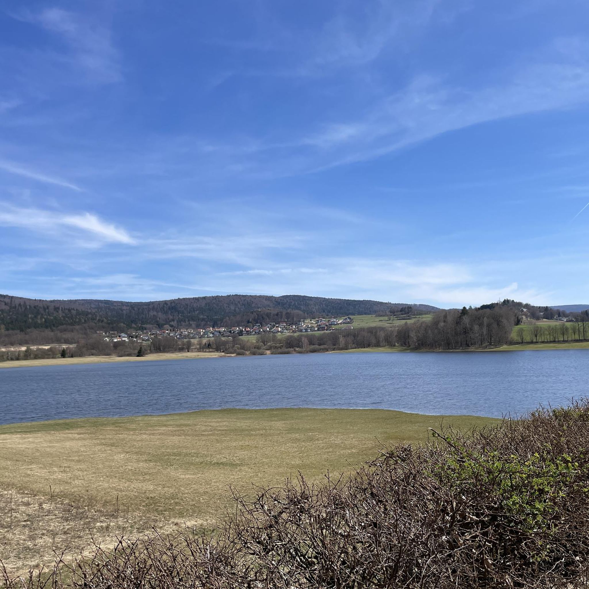
Διαδρομές τρεξίματος Naturpark Oberer Bayerischer Wald
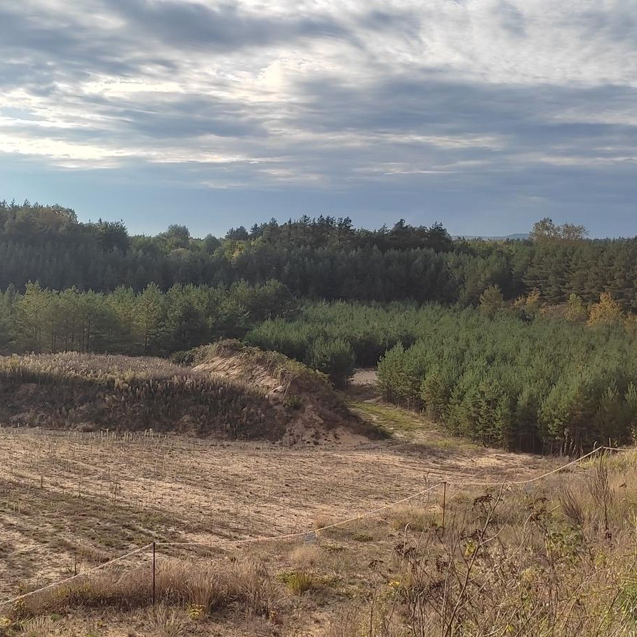
Διαδρομές τρεξίματος Landkreis Neumarkt in der Oberpfalz
Άλλες περιπέτειες στο Άνω Παλατινάτο


Συμβουλές από την κοινότητα

Πολύ αστείο!!! (Μπορείς να το δεις ;-))
0
0

Ένα ρομαντικό μέρος για ένα διάλειμμα, με θέα τη λίμνη Westbad-Weiher. Χάρη στην οροφή, είναι όμορφα σκιασμένο ή προστατευμένο από τη βροχή.
0
0

Μια πεζογέφυρα και ποδηλατόδρομος εκτείνεται πάνω από τις σιδηροδρομικές γραμμές, επιτρέποντας έτσι την ασφαλή διάβαση για πεζούς και ποδηλάτες. Από την πεζογέφυρα, έχετε επίσης καλή θέα στον πολυσύχναστο κεντρικό σταθμό της Ρέγκενσμπουργκ. Ένα ιδανικό μέρος για να φωτογραφίσετε τρένα.
2
0

Εδώ μπορείς να αντέξεις τη ζέστη.
0
0

Υπέροχα τμήματα διαδρομής σε μια υπέροχη περιοχή
1
0
Μια υπέροχη περιοχή με πολλά αξιοθέατα
1
0
Μια υπέροχη περιοχή με πολλά αξιοθέατα
1
0

Knappensee The lake's origins can be traced back to the cessation of lignite mining by the Bavarian lignite industry in the 1980s. Flooding of the pit began in 1981, creating the lake with an area of 55 hectares and an average depth of 5 meters (deepest point: 6.5 meters). It is approximately 1 kilometer long and 460 meters wide. The lake's name likely derives from the miners' association or the miners of the open-cast mine, whose work led to its creation after mining operations ceased. The "Knappensee Circular Trail" was created around the lake. Since 2012, this trail, offering 3,900 meters of hiking and cycling routes, has been intended to support tourism in the region. Two-thirds of the circular trail lies within the municipality of Wackersdorf. A parking lot for cars is available on the south side. The water quality of the lake is monitored by the Weiden Water Management Office in the Upper Palatinate region using a measuring station located in the northern third of the lake. The measurement data is available from the Bavarian State Office for the Environment. After the open-cast mine was flooded, the lake water was highly acidic (pH value in 1998: 3.6); however, this has since changed unexpectedly, as the pH value is now reported to be 6.8. Fishing in the lake is permitted only with a fishing license and a local day permit, with a maximum catch of 5 fish per day. Source: Excerpts from www.wikipedia.de
3
0
Οι πιο δημοφιλείς διαδρομές στο Άνω Παλατινάτο
Τα πιο δημοφιλή αξιοθέατα στο Άνω Παλατινάτο

Εμπνεύσου με την εφαρμογή komoot για κινητά


Δεν βρήκες αυτό που ψάχνεις;
Δες περισσότερα Διαδρομές & διαδρομές για τρέξιμο σε όλη την περιοχή Άνω Παλατινάτο παρακάτω και βρες την τέλεια διαδρομή στον προορισμό σου.
Ανακάλυψε περισσότερα
Περιηγήσου τα καλύτερα Διαδρομές & διαδρομές για τρέξιμο σε άλλες περιοχές.
