Οι καλύτερες διαδρομές ποδηλασίας δρόμου στο Τενεσί
4,8
(189)
9.027
Ποδηλάτες
1.002
Ποδηλασίες
Σε αυτόν τον οδηγό, εξετάσαμε ολόκληρη τη συλλογή διαδρομών ποδηλασίας δρόμου Τενεσί για να σας φέρουμε τις καλύτερες βόλτες στην περιοχή. Για να βρείτε αυτή που σας ταιριάζει, κάντε κλικ σε οποιαδήποτε διαδρομή για αναλυτικά στοιχεία με υψομετρικά προφίλ και αναλύσεις επιφάνειας, και δείτε συμβουλές και φωτογραφίες από μέλη της κοινότητας komoot.
Τελευταία ενημέρωση: 24 Οκτωβρίου 2026
4,5
(2)
33
Ποδηλάτες
Embark on an easy road cycling journey along the Murfreesboro Greenway, a paved route that stretches for 15.5 miles (25.0 km). As you pedal, you will follow the East Fork and West Fork Stones River, enjoying picturesque views through hardwood forests and peaceful cedar glades. The gentle terrain means you will only encounter 172 feet (52 metres) of elevation gain, making it a relaxing ride for about 1 hour and 33 minutes. Keep an eye out for local wildlife, including great blue herons, as you pass by historical sites like Fortress Rosecrans.
Planning your visit to the Murfreesboro Greenway is straightforward, with 16 distinct trailheads offering convenient access points along the route. Many of these starting points provide useful amenities such as restrooms and playgrounds, ensuring a comfortable experience for everyone. This multi-use trail is designed to be accessible for individuals of all abilities, making it a welcoming option for families and casual riders alike. You can easily find a suitable entry point to begin your ride.
The Murfreesboro Greenway stands out as a key recreational asset in the region, seamlessly blending natural beauty with significant historical context. Its path not only offers a pleasant cycling experience but also connects you to the rich past of the Stones River National Battlefield. This integration of nature and history makes the greenway a unique destination, providing both exercise and an opportunity for reflection. It is a perfect example of how a community can preserve its heritage while promoting outdoor activity.
13
Ποδηλάτες
124km
05:33
600m
600m
Prepare for a challenging road cycling adventure on the Mississippi River Trail and Meeman-Shelby Forest Loop. This difficult route spans 77.2 miles (124.2 km) and involves a significant 1972 feet (601 metres) of elevation gain, taking around 5 hours and 32 minutes to complete. You will experience a diverse landscape, cycling along the mighty Mississippi River and potentially crossing the Big River Crossing in Memphis, which offers unique views from the old Harahan Bridge. Further north, the Meeman-Shelby Forest section provides a refreshing escape into dense woods, featuring mature Bald Cypress trees and Tupelo swamps, with its

4,0
(1)
9
Ποδηλάτες
44,8km
02:05
380m
380m
If you are looking for a rewarding road cycling experience near Franklin, the Natchez Trace Parkway Loop offers a moderate 27.8-mile (44.8 km) ride. You will gain 1237 feet (377 metres) of elevation over an estimated 2 hours and 5 minutes, pedaling through lush forests, past farmlands, and alongside creeks. A significant highlight is the architecturally striking Natchez Trace Parkway Bridge, also known as the Double Arch Bridge, which spans Birdsong Hollow and offers expansive views.
When planning your visit, be aware that while the Natchez Trace Parkway is designated as a bike route with no commercial traffic, shoulders can be narrow in some sections. Vehicles are instructed to share the road, so always stay alert and ride defensively. Restroom facilities are available along the broader Parkway, typically every twenty to thirty miles, which is useful for longer rides. Consider starting early to enjoy cooler temperatures and less vehicle traffic.
This route stands out for its unspoiled environment, enhanced by the absence of commercial traffic and billboards, allowing you to fully immerse yourself in the natural surroundings. The Parkway itself is a historic and scenic corridor, offering a unique opportunity to cycle through a protected landscape. It provides a peaceful escape from city life, making it a popular choice for cyclists seeking both exercise and tranquility.
15
Ποδηλάτες
93,3km
05:26
2.280m
2.280m
The Foothills Tour is a challenging racebike route that takes you through the Cherokee National Forest. You will experience extensive vistas of the Smoky Mountains and ride through lush wooded areas. This difficult 58.0-mile (93.3 km) journey includes a significant 7465 feet (2275 metres) of elevation gain, making the rewarding views and enjoyable descents well worth the effort. Expect to spend around 5 hours and 25 minutes on this ride, passing by Haw Knob, a prominent summit with panoramic scenery.
The route begins near Tellico Plains, Tennessee, offering convenient access for your racebike adventure. You will find parking generally available at various points along the route itself or in nearby towns. Always remember to check local regulations for any specific parking restrictions before you set out. This ensures a smooth start to your challenging ride.
This tour is known for its demanding climbs, which are a hallmark of road cycling in the region. The extensive elevation gain provides a significant workout for experienced cyclists looking for a serious challenge. The route's location within the Cherokee National Forest means you are immersed in a rich natural environment, offering a true escape into the foothills.
9
Ποδηλάτες
Embark on an easy road cycling adventure along the Shelby Bottoms Greenway Loop, a 11.5-mile (18.6 km) paved route that winds through diverse natural landscapes. You will experience a gentle ride with only 352 feet (107 metres) of elevation gain, making it perfect for a relaxed outing that takes about 1 hour and 4 minutes. As you pedal, you will pass through bottomland hardwood forests, open fields, and wetlands, with picturesque views of the Cumberland River appearing at various points along the way. Keep an eye out for Sevier Lake, a notable landmark on the loop. The smooth surface is ideal for your road bike, offering a pleasant and accessible journey.
Planning your visit to the Shelby Bottoms Greenway Loop is straightforward, with multiple trailheads available for easy access. The main trailhead is conveniently located at the Shelby Bottoms Nature Center, which also provides restrooms for visitors. If you need a bike, rental stations are nearby, ensuring you have everything you need for your ride. The trail is generally flat and well-maintained, welcoming cyclists of all skill levels to enjoy its natural beauty.
This urban oasis is a haven for local wildlife, offering you a chance to spot various birds, amphibians, and deer as you cycle. The route's design through the Shelby Bottoms Greenway and Natural Area highlights the importance of preserving these diverse ecosystems within the city. It provides a unique opportunity to connect with nature and observe its inhabitants, making your ride more than just exercise. The blend of natural scenery and easy accessibility makes this loop a standout option for a quick escape into the outdoors.
9
Ποδηλάτες
86,5km
04:05
1.000m
1.000m
Embark on a challenging road cycling adventure through Prentice Cooper State Forest, a difficult route spanning 53.7 miles (86.5 km). You will climb 3273 feet (997 metres) over an estimated 4 hours and 4 minutes, making this a rigorous workout. The journey unfolds on dirt and gravel forest roads, varying from smooth, packed sections to steep, rugged climbs with chunky gravel. As you pedal, you'll be treated to expansive views along the eastern face of the Cumberland Plateau. Look out for panoramic vistas from sheer bluffs, a thousand feet above the Tennessee River, offering sweeping overlooks of the Tennessee River Gorge. Keep your eyes peeled for diverse wildlife as you navigate this immersive natural setting.
Before you set out, be aware that the route's challenging gravel and steep ascents might require you to dismount and push your bike in certain sections, especially if your gearing isn't optimized for such terrain. It is crucial to verify any seasonal closures or restrictions, particularly those related to hunting, as Prentice Cooper State Forest operates as a Wildlife Management Area. Prepare yourself for extensive unpaved surfaces and significant climbs throughout this advanced road cycling loop. Checking conditions beforehand will help ensure a smoother and safer experience on the trail.
This route stands out for its unique blend of demanding terrain and stunning natural beauty within the Cumberland Plateau. The forest's designation as a Wildlife Management Area means you are cycling through an active natural habitat, offering a chance to observe local fauna. The dramatic overlooks of the Tennessee River Gorge provide a memorable backdrop to your ride, showcasing the region's impressive geological features. This loop offers a distinct challenge and a deep immersion into the wild landscapes surrounding Chattanooga.
10
Ποδηλάτες
34,0km
01:34
150m
140m
Embark on an easy road cycling adventure along the Mississippi River Trail and Midtown Loop, a route that spans 21.1 miles (34.0 km). You'll experience diverse scenery, from the majestic Mississippi River to the urban greenery of Memphis. The ride involves a gentle elevation gain of 477 feet (145 metres) and typically takes about 1 hour and 34 minutes to complete. As you cycle, you might cross the Big River Crossing, offering impressive skyline views of the city. The Midtown section guides you through tree-lined paths, including parts of Overton Park's old-growth forest and the shaded Shelby Farms Greenline.
Planning your ride on this well-maintained route is straightforward. You can easily access the trail from various points, with convenient parking often available. For example, Mississippi River Greenbelt Park is a popular starting point with parking facilities. The trail is generally open year-round, making it a flexible option for your cycling schedule. Consider starting your ride in the morning or late afternoon to enjoy cooler temperatures and potentially fewer crowds.
This route stands out for its unique blend of natural riverfront beauty and urban parkland. It offers a chance to observe local wildlife, such as deer and wild turkeys, especially along the Shelby Farms Greenline. The combination of the historic Mississippi River and the vibrant Midtown area provides a distinct perspective on the city. It's a great way to explore Memphis's outdoor spaces and connect with nature without leaving the city limits.
12
Ποδηλάτες
41,0km
02:25
530m
530m
This challenging road cycling route to Hicks Gap Natural Area from Suck Creek offers a rewarding experience for those who love a good climb. You'll ascend through lush forested slopes, enjoying increasingly expansive views of Chattanooga and the Tennessee River Gorge. The initial 5.5-mile climb up Suck Creek Road is paved, but be prepared for gravel roads if you plan to explore deeper into the 350-acre Hicks Gap Natural Area, nestled within the larger Prentice Cooper State Forest.
Logistically, the route is considered moderate, covering 25.5 miles (41.0 km) with a substantial 1743 feet (531 metres) of elevation gain, typically taking around 2 hours and 24 minutes. While the main climb is suitable for a race bike, wider tires are advisable for the gravel sections within the natural area. Parking is available at the base of Suck Creek Road, but it's always wise to arrive early, especially on busy days.
This route is a popular starting point for climbs into Prentice Cooper State Forest and is part of a broader network of scenic cycling routes in Southeast Tennessee. The Hicks Gap Natural Area itself is recognized for its biodiversity, including the largest known population of the federally threatened large-flowered skullcap, adding a unique ecological dimension to your ride.
8
Ποδηλάτες
Cycle the Prentice Cooper State Forest loop from Sequatchie via Tennessee River Gorge, a moderate road cycling route that promises dramatic scenery. This 49.4 miles (79.5 km) journey includes a substantial 2849 feet (868 metres) of elevation gain, typically completed in about 4 hours and 17 minutes. You will ride through the stunning Tennessee River Gorge, encountering impressive cliffs and diverse wildlife along the way. Look for the distinctive cedar trees that characterize the forest, and be sure to take in the expansive views from Snoopers Rock, a key landmark offering panoramic vistas of the gorge and river.
When planning your trip, be aware that while much of the route is paved, you will encounter some unpaved and challenging gravel sections, particularly within Prentice Cooper State Forest. For a more comfortable ride, consider using a gravel bike equipped with wider tires. The starting point is conveniently located just 10 to 15 miles west of Chattanooga, making it an ideal option for a day trip. Ensure your bike is suitable for mixed terrain to fully enjoy the varied surfaces.
This route stands out for its unique blend of challenging cycling and natural beauty within the Tennessee River Gorge. The area is known for its rugged terrain and rich biodiversity, providing a true escape into nature. The forest environment, with its specific flora like cedar trees, contributes to the distinct character of the ride. It offers a rewarding experience for cyclists looking to combine a good workout with spectacular natural surroundings.
6
Ποδηλάτες
85,0km
03:46
370m
370m
Embark on a moderate road cycling journey from Shelby Farms to Arlington, covering 52.8 miles (85.0 km) with a total elevation gain of 1222 feet (372 metres). This route offers a diverse ride, taking you along the Shelby Farms Greenline, a paved rail-trail known for its flat sections and shaded canopy from large oak trees. You will cross wooden trestles over scenic wetlands, where you might spot local wildlife, before reaching your destination in about 3 hours and 45 minutes.
Planning your ride is straightforward, as the route connects Midtown Memphis to the Cordova/Arlington area. You can easily access the starting point at Shelby Farms, where parking is generally convenient. While much of the route is traffic-free, be mindful of a few street crossings along the way. This makes it a good option for a substantial ride without too many logistical hurdles.
The trail stands out for its passage through Shelby Farms Park, one of the largest urban parks in the United States, featuring expansive green spaces and the notable Pond at Shelby Farms Park. This provides a unique blend of natural beauty within an urban setting. The Greenline itself is a popular feature, offering a smooth and enjoyable surface for road cyclists looking for a longer excursion in the Memphis area.
Πάρε πρόσβαση σε περισσότερες διαδρομές και προτάσεις από άλλους εξερευνητές.
Έχεις ήδη λογαριασμό;
Οι προτάσεις διαδρομών μας βασίζονται σε χιλιάδες πεζοπορίες, ποδηλασίες και τρεξίματα που ολοκληρώθηκαν από άλλους χρήστες στο komoot.
Ξεκίνα σήμερα με έναν δωρεάν λογαριασμό
Η επόμενη περιπέτειά σου σε περιμένει.
Δημοφιλή γύρω από Τενεσί
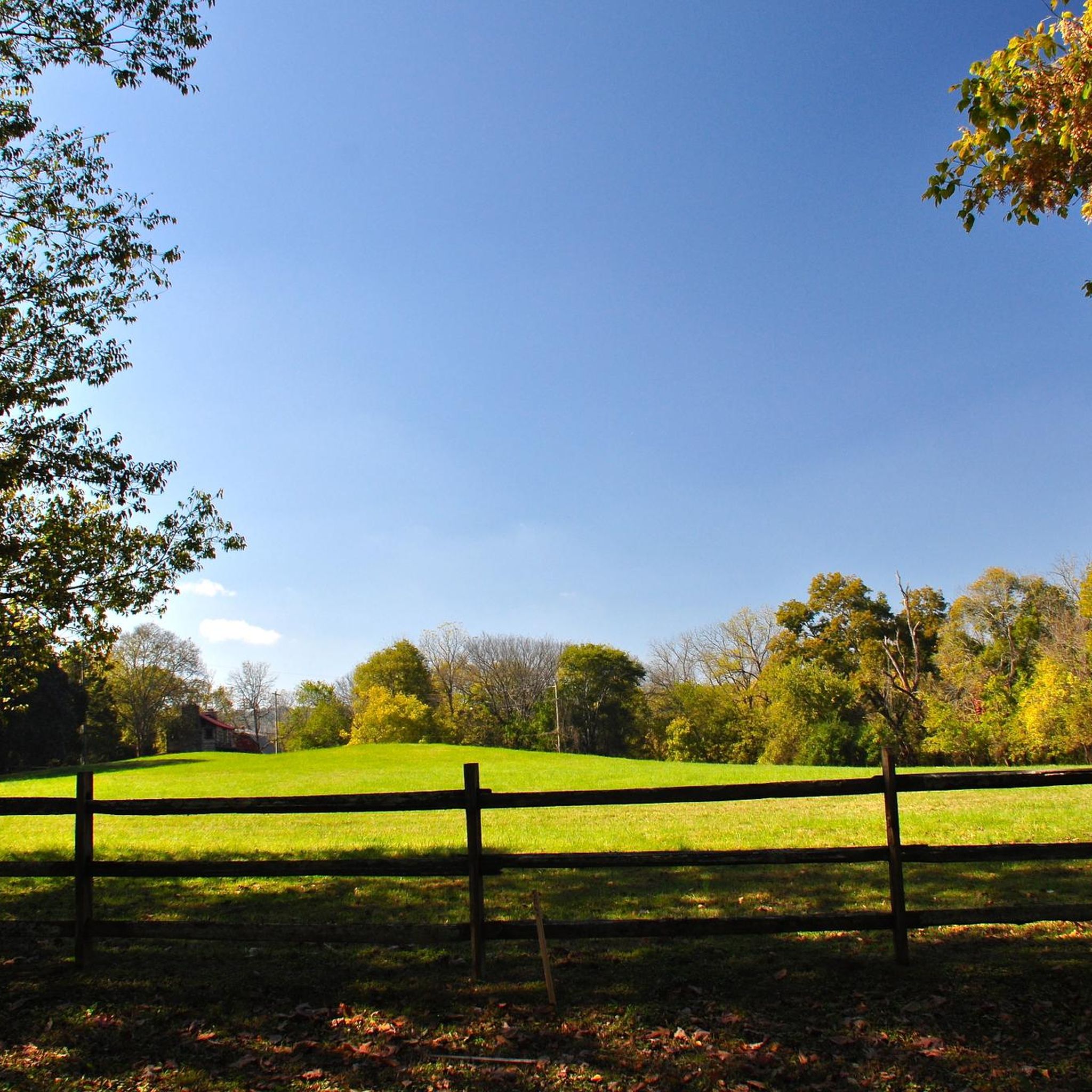
Διαδρομές ποδηλασίας κοντά σε Williamson County

Διαδρομές ποδηλασίας Shelby County

Διαδρομές ποδηλασίας κοντά σε Hamilton County
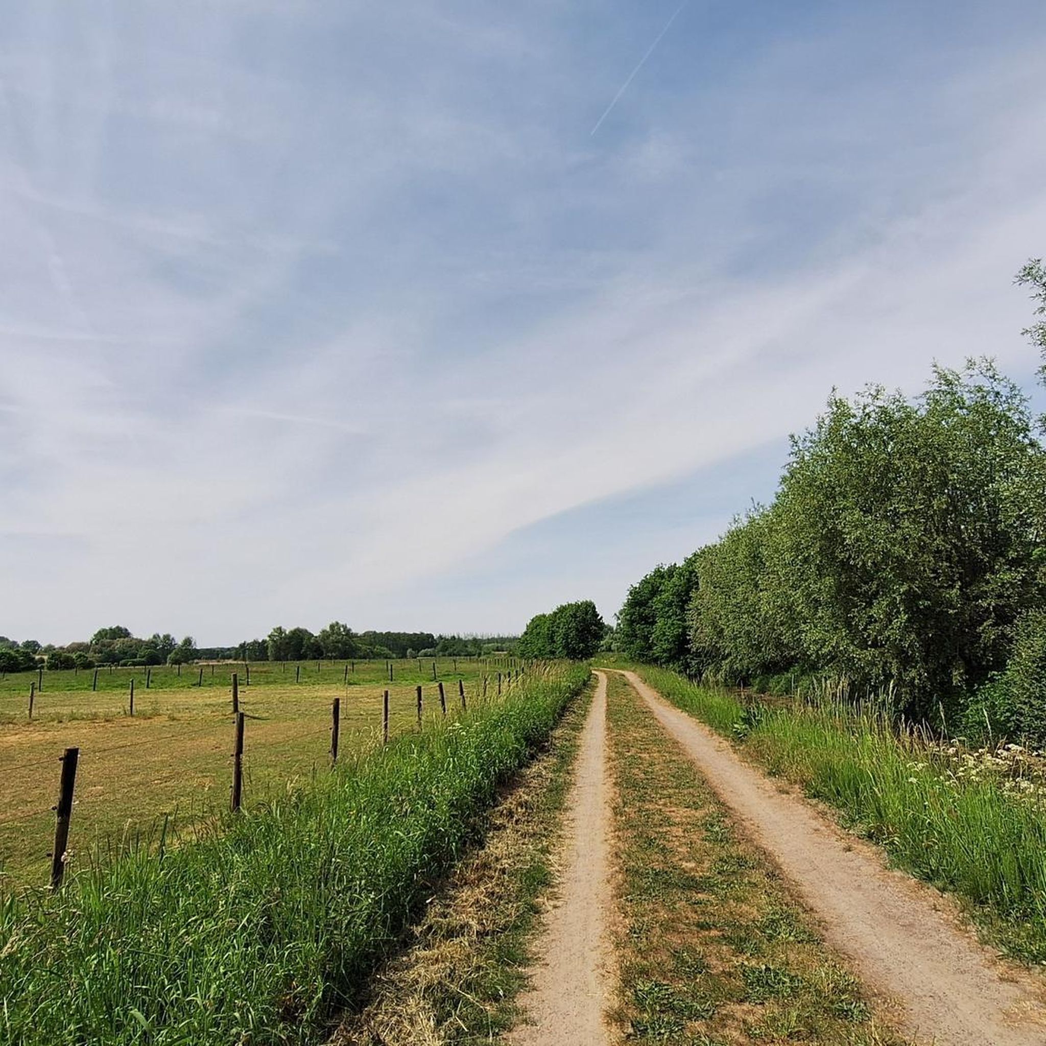
Διαδρομές ποδηλασίας Davidson County
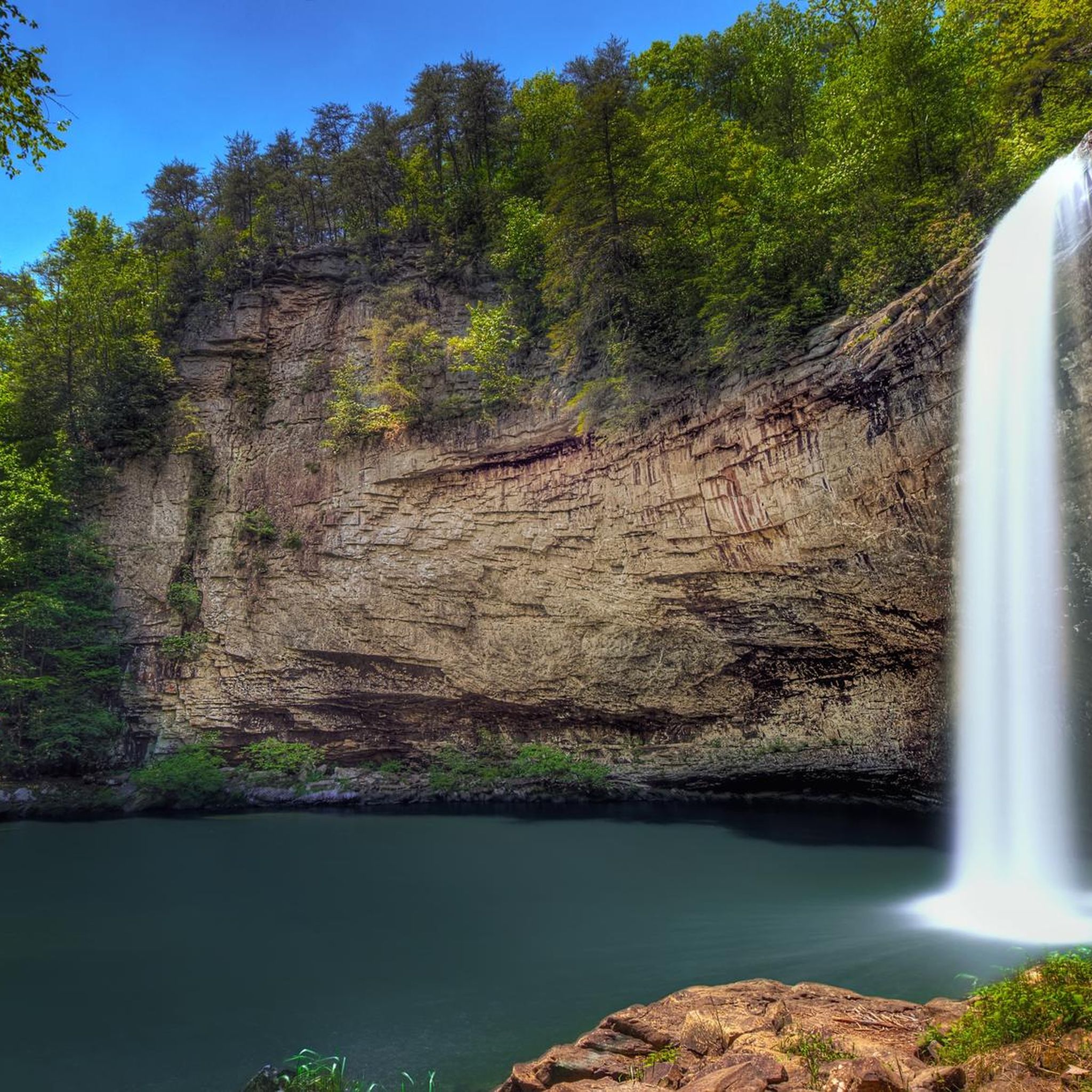
Διαδρομές ποδηλασίας κοντά σε Marion County
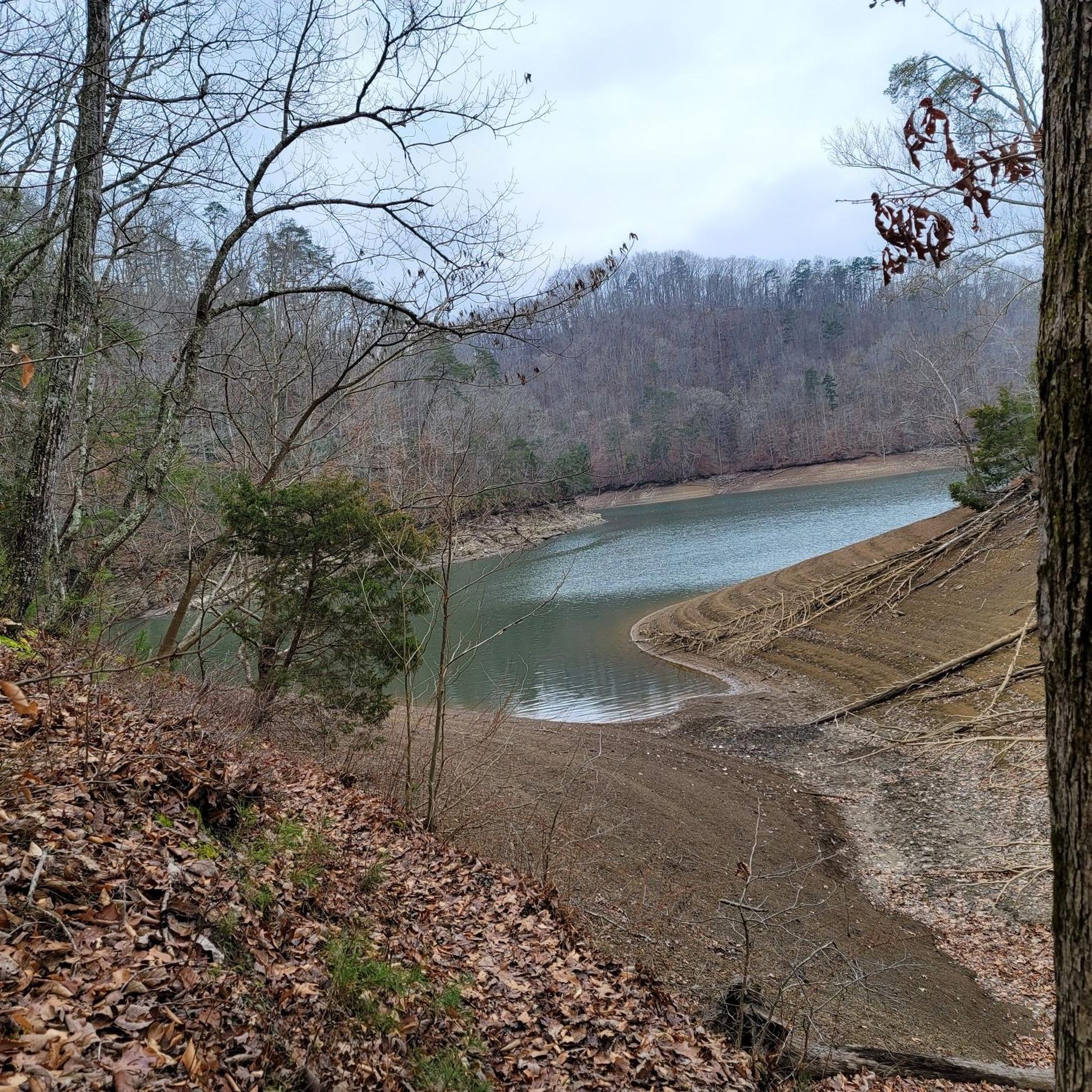
Διαδρομές ποδηλασίας Knox County
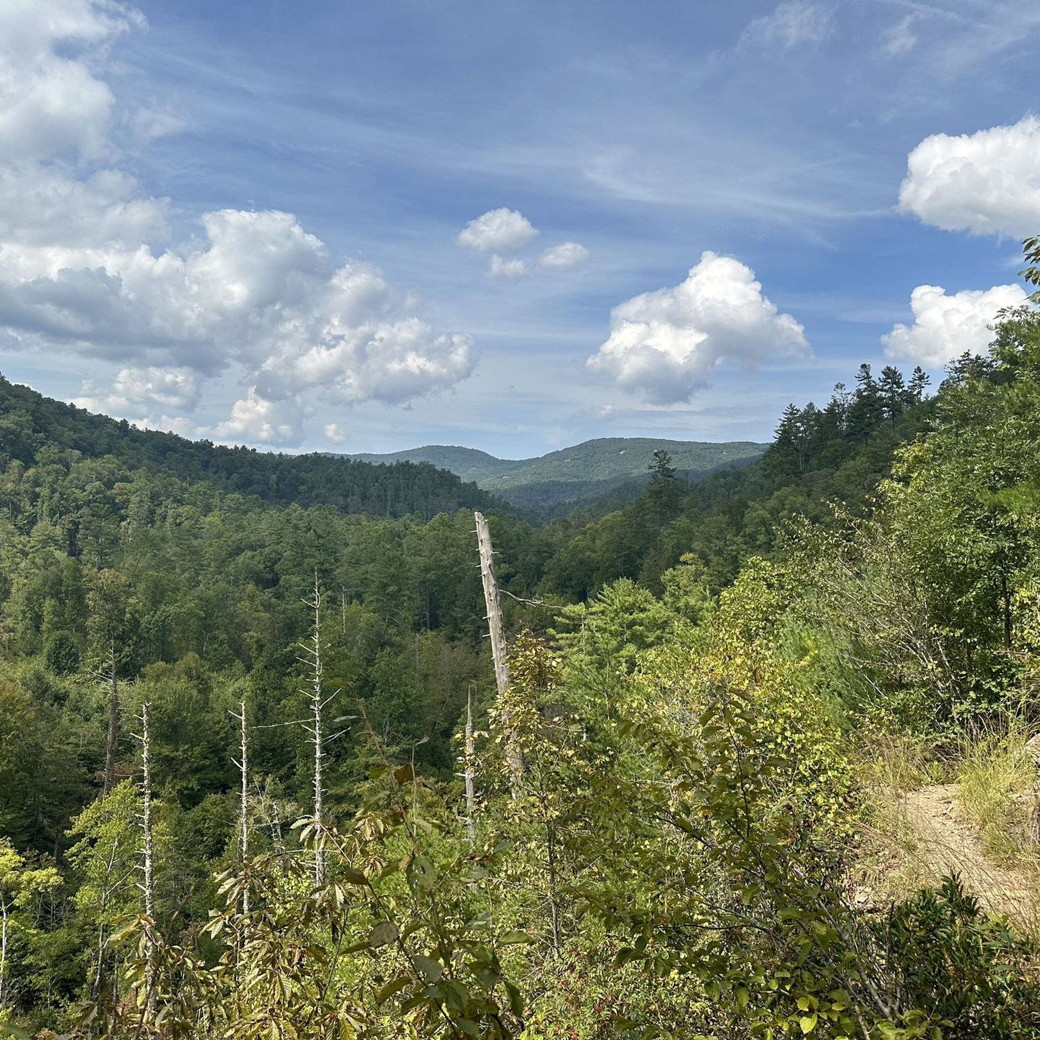
Διαδρομές ποδηλασίας Great Smoky Mountains National Park
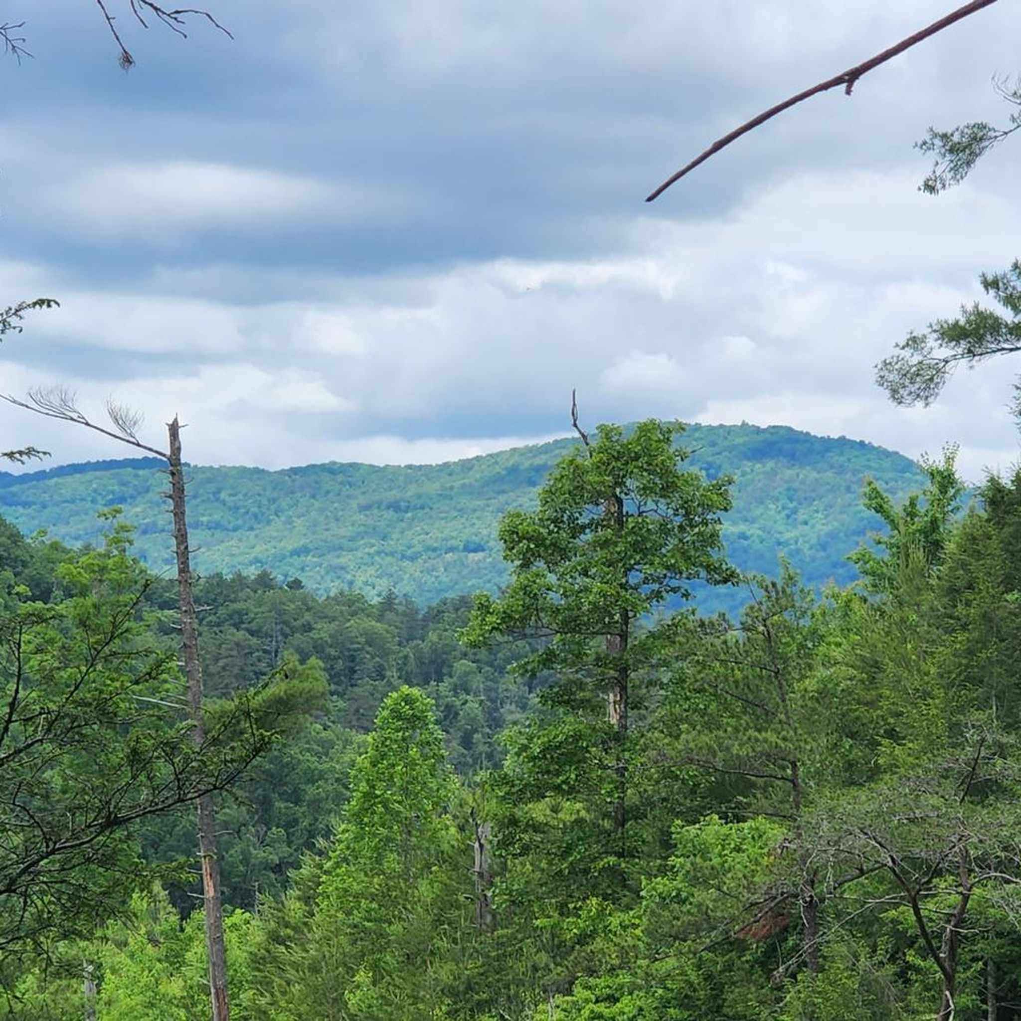
Διαδρομές ποδηλασίας κοντά σε Blount County
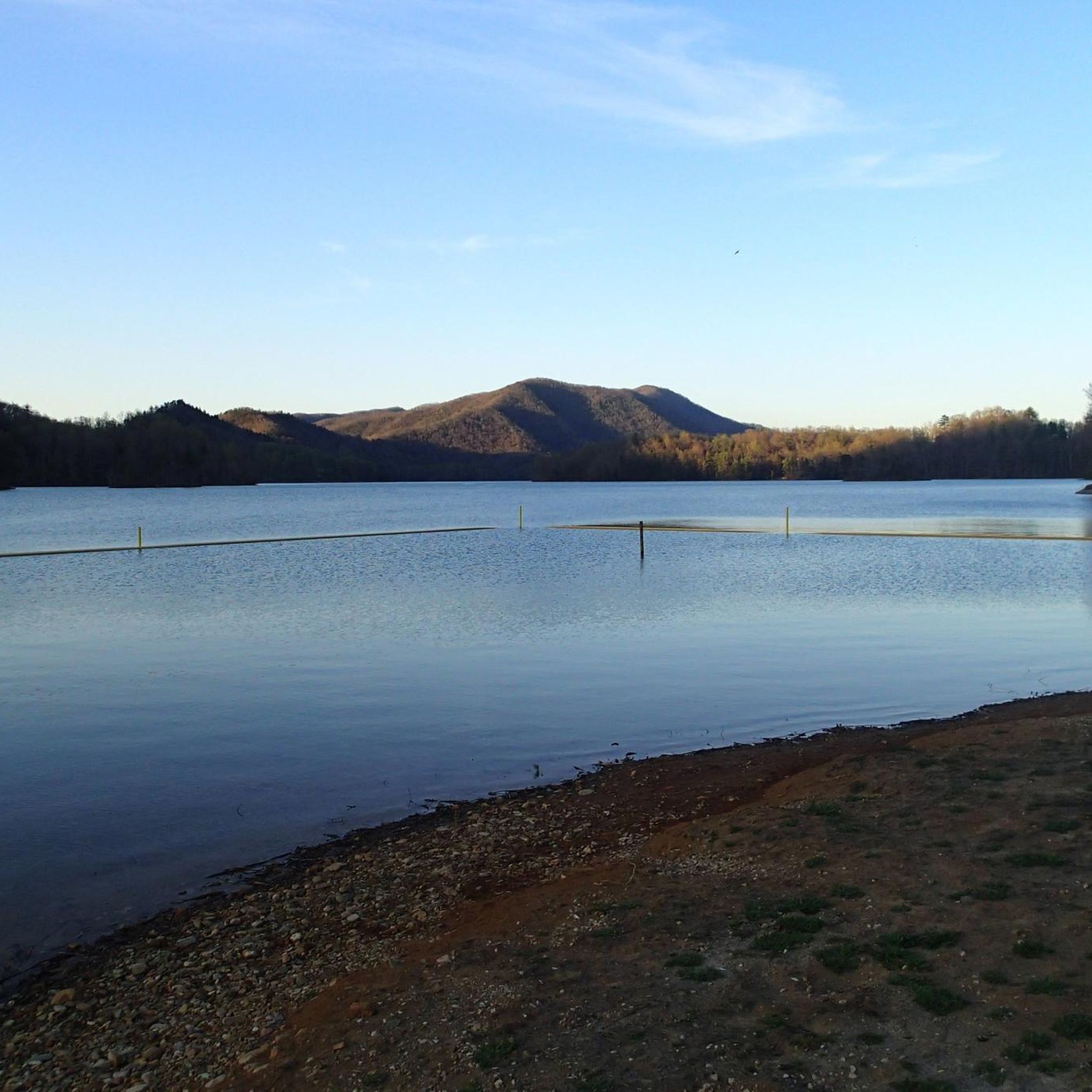
Διαδρομές ποδηλασίας Carter County
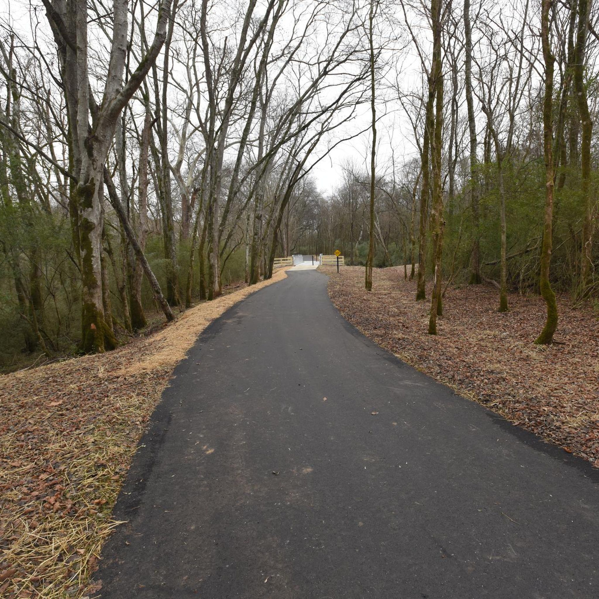
Διαδρομές ποδηλασίας Rutherford County
Άλλες περιπέτειες στο Τενεσί


Συμβουλές από την κοινότητα

Shelby Bottoms Greenway stretches through a natural area along the Cumberland River, connecting Two Rivers Park with Shelby Bottoms via a paved pedestrian/bike bridge. It’s a smooth path surrounded by greenery and shared with pedestrians, so if needed, slow down and enjoy the view.
0
0

This small park is located on the banks of the Mississippi River and was created in remembrance of those involved in the Yellow Fever Epidemic of 1878. The park connects to a paved path that follows the Mississippi River Trail bike route and connects to some of the nearby parks to the north.
0
0

Prentice Cooper Wildlife Management Area sprawls across 24,686 acres of scenic Tennessee wilderness. Offering diverse ecosystems and outdoor activities like cycling, hiking, fishing, and birdwatching, it's a haven for lovers of nature and adventure.
0
0

Sitting in both states of Tennessee and North Carolina, Haw Knob in the Unicoi Mountains offers a captivating blend of rugged terrain and scenic beauty.
0
0
The Tennessee River Gorge, often called the "Grand Canyon of the Tennessee," is a picturesque natural wonder near Chattanooga. This 26-mile scenic stretch features stunning cliffs, diverse wildlife, and opportunities for hiking, running, and biking.
0
0
Hicks Gap Natural Area is a lush mountainous area nestled in the Appalachian foothills of the Cumberland Plateau. It provides breathtaking views and a peaceful environment for outdoor enthusiasts in the Chattanooga area.
0
0
Prentice Cooper State Forest plays host to miles of singletrack and double-track trails, but not of these trails are open to bikes. That being said, the entirety of the property is filled with smooth (and some not-so-smooth) dirt and gravel forest roads. A lot of people bike these roads on a gravel bike, but if you are looking for a smoother ride (and aren't opposed to riding something a little heavier), the roads within Prentice Cooper State Forest are perfect for a hard tail mountain bike.
0
0
Οι πιο δημοφιλείς διαδρομές στο Τενεσί
Τα πιο δημοφιλή αξιοθέατα στο Τενεσί

Εμπνεύσου με την εφαρμογή komoot για κινητά


Δεν βρήκες αυτό που ψάχνεις;
Δες περισσότερα Διαδρομές δρόμου σε όλη την περιοχή Τενεσί παρακάτω και βρες την τέλεια διαδρομή στον προορισμό σου.
Ανακάλυψε περισσότερα
Περιηγήσου τα καλύτερα Διαδρομές δρόμου σε άλλες περιοχές.
