Οι 20 πιο εκπληκτικές κορυφές Pollein
Είτε για τη θέα είτε για την πρόκληση, η ανάβαση στις ορεινές κορυφές Pollein είναι ο καλύτερος τρόπος να βιώσετε περισσότερα από αυτή την όμορφη περιοχή. Αλλά με 20
να επιλέξετε, μπορεί να είναι δύσκολο να αποφασίσετε. Γι'αυτό συγκεντρώσαμε τις καλύτερες κορυφές Pollein για εσάς εδώ — ώστε να μπορείτε εύκολα να προσθέσετε μία στην επόμενη περιπέτειά σας.
Τελευταία ενημέρωση: 13 Σεπτεμβρίου 2026
Chamolé
Highlight • Κορυφή
Μετάφραση από Google •
Συμβουλή από

Punta Replan
Highlight • Σημείο θέας
Μετάφραση από Google •
Συμβουλή από
Εγγράψου τώρα για να ανακαλύψεις μέρη σαν αυτό
Λάβε προτάσεις για τα καλύτερα single tracks, κορυφές και πολλά ακόμα συναρπαστικά υπαίθρια μέρη.
Monte Emilius Summit and Statue
Highlight • Κορυφή
Μετάφραση από Google •
Συμβουλή από

Montseuc Summit Cross
Highlight • Κορυφή
Μετάφραση από Google •
Συμβουλή από
Colle Tsa Seche
Highlight • Ορεινό πέρασμα
Μετάφραση από Google •
Συμβουλή από

Εγγράψου δωρεάν για να ανακαλύψεις ακόμα περισσότερες κορυφές Pollein.
Έχεις ήδη λογαριασμό;
Ξεκίνα σήμερα με έναν δωρεάν λογαριασμό
Η επόμενη περιπέτειά σου σε περιμένει.

Συμβουλές από την κοινότητα

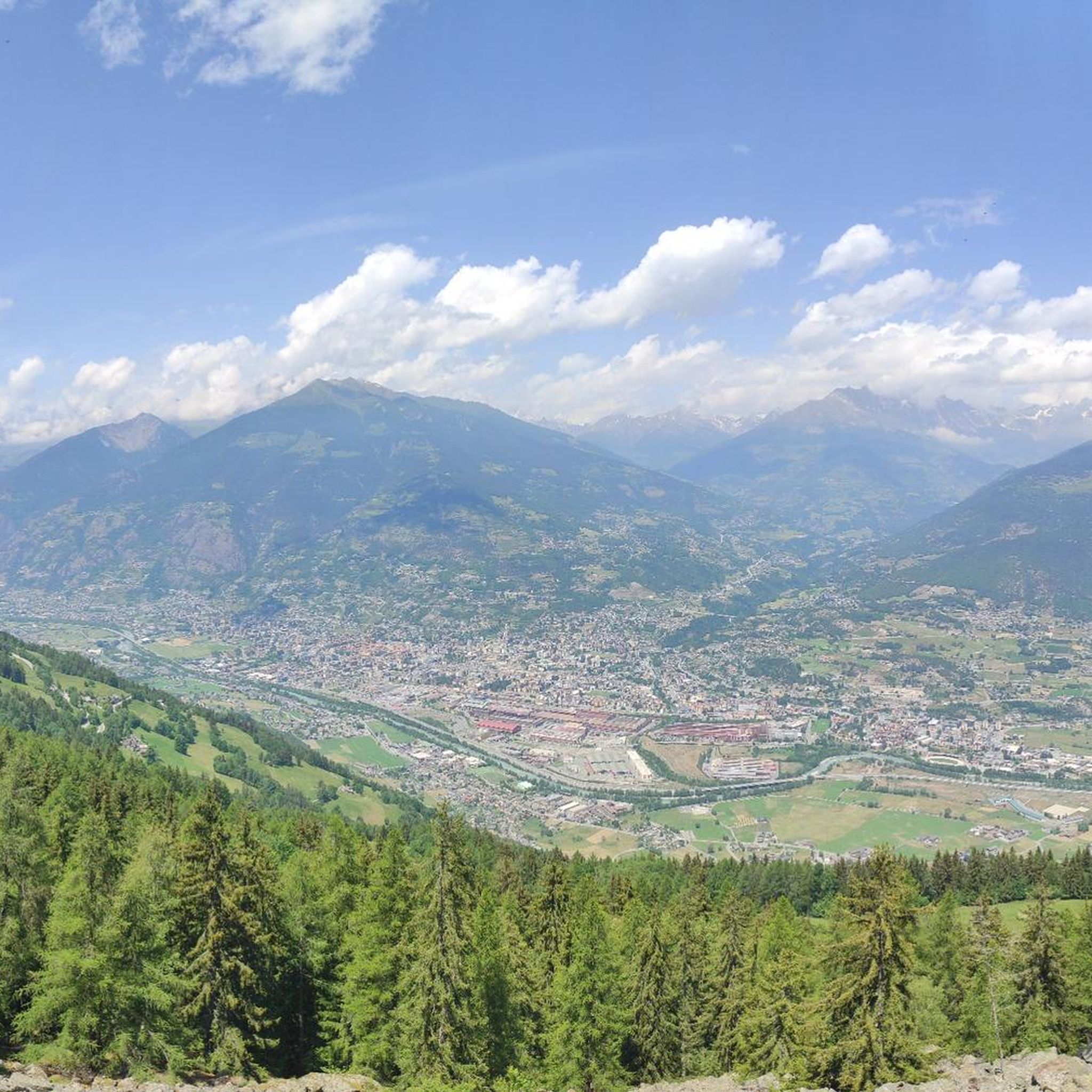
Ένα πανέμορφο μονοπάτι οδηγεί σε αυτή την κορυφή, η οποία προσφέρει υπέροχη θέα. Συνεχίζεται σε μια εξίσου εντυπωσιακή κορυφογραμμή.
0
0

https://youtu.be/Pxndx9TNM5U?si=mH5XT38nxmCVjLSr Push, lift, and drag until you're over it, then you have a beautiful descent to Cogne.
0
0


A fantastic view, weather permitting: Mont Blanc, Grandes Jorasses, Matterhorn, Punta Rosa. The overview board tells you where each peak is located.
0
0

Below the cross, in a pile of stones, there is a metal box with the "summit book". Easy to miss! Only the flap of the metal box is visible.
41
0
On an excellently marked path with an almost flat stretch, you first reach a magnificent viewpoint over the Cogne valley and Valnontey. From here, the climb, which has been easy so far, continues to the Montseuc ridge, with a much steeper and more strenuous route, but always well protected by wooden fences in the most exposed parts of the ridge. Along the way there are numerous information boards about the flora and fauna of the mountains. At the top of the Montseuc mountain, there is the summit cross, a metal cross.
45
0

Mount Emilius, m. 3,559 s.l.m., is a mountain of the Graian Alps located in the Aosta Valley. Before 1839, it was known as Pic de dix heures, Pic Chamosser or Pic Chamoisier, later the peak was therefore named in honor of the fourteen-year-old Émilie Argentier who climbed it that year.
4
0

From the Federigo camp, follow the green signs and start climbing up along a stony ground, keep to the left at the beginning (north side) and then reach the ridge where the via ferrata starts. The track starts amid some rocks on the left side of the ridge and reaches the top, where there is a protruding rocky turret, linked to the following peak by a spectacular Tibetan bridge. The via ferrata continues along a vertical rock track and reaches Mont Ross de Comboé (3,285 m), located at the western side of Monte Emilius. At the beginning, you will be fascinated by the imposing and dark north side of Monte Emilius, while now you will have the whole of Aosta Valley and its mountains in full view, in the pleasant sunlight: the Gran Paradiso chain and Grivola to the south, Rutor and the whole Mont Blanc massif to the west, Gran Combin and the Alpine ridge of Valpelline to the north and Matterhorn, the Swiss Alps and Monte Rosa to the east. This gorgeous landscape will follow you until you reach the top. The via ferrata continues along the ridge, going from west to east following a long, almost horizontal trail, up to a sign indicating a possible downslope to the right (south side). This downslope follows a trail, which is not always visible, and reaches Lago Gelato (2,955 m), along a comfortable track going down to the Arbolle refuge (normal route of Emilius). Such a downslope represents an alternative for anyone wishing to abandon the via ferrata which reaches Piccolo Monte Emilius (3,342 m) and goes up the rugged and steep ridge, which you can overcome on the right, by following some huge red and compact rocky steps. If you keep to the south side, you reach a gap where the rock is lighter in colour and slightly more friable. You will have to take some careful steps and continue up a rocky slope until you come to the side where the equipped route ends. From there, you will reach the top (3,559 m) in about ten minutes. On the way down, follow the clearly indicated path along the normal route (south ridge) leading to Colle dei tre Cappuccini (3,222 m), where you need to be careful along a short exposed track. Follow the signs and keep to the right, going down the Arbolle deep valley, past Lago Gelato, up to the Arbolle refuge and, from there, you will reach the arrival station of the Chamolé chair-lift, after walking up the small Col Chamolé (2,641 m) along a comfortable path. (https://pila.it/en/track/the-via-ferrata-of-monte-emilius/)
3
0
Οι πιο δημοφιλείς διαδρομές Pollein
Τα πιο δημοφιλή αξιοθέατα Pollein

Εμπνεύσου με την εφαρμογή komoot για κινητά


Ανακάλυψε περισσότερα
Δες ακόμα περισσότερες εκπληκτικές κορυφές Pollein με αυτούς τους οδηγούς:
