Οι καλύτερες διαδρομές ποδηλασίας δρόμου στο Σανταρέμ
4,3
(117)
6.403
Ποδηλάτες
676
Ποδηλασίες
Σε αυτόν τον οδηγό, εξετάσαμε ολόκληρη τη συλλογή διαδρομών ποδηλασίας δρόμου Σανταρέμ για να σας φέρουμε τις καλύτερες βόλτες στην περιοχή. Για να βρείτε αυτή που σας ταιριάζει, κάντε κλικ σε οποιαδήποτε διαδρομή για αναλυτικά στοιχεία με υψομετρικά προφίλ και αναλύσεις επιφάνειας, και δείτε συμβουλές και φωτογραφίες από μέλη της κοινότητας komoot.
Τελευταία ενημέρωση: 28 Οκτωβρίου 2026
4,5
(4)
95
Ποδηλάτες
57,3km
02:29
400m
400m
Μέτρια ποδηλασία δρόμου. Απαιτείται καλή φυσική κατάσταση. Κάποια τμήματα αυτής της διαδρομής μπορεί να είναι μη ασφαλτοστρωμένα και δύσκολα για οδήγηση.
4,0
(2)
92
Ποδηλάτες
61,5km
02:43
530m
530m
Μέτρια ποδηλασία δρόμου. Απαιτείται καλή φυσική κατάσταση. Κυρίως καλά ασφαλτοστρωμένες επιφάνειες και εύκολο στην οδήγηση.

3,0
(1)
58
Ποδηλάτες
Μέτρια ποδηλασία δρόμου. Απαιτείται καλή φυσική κατάσταση. Κυρίως καλά ασφαλτοστρωμένες επιφάνειες και εύκολο στην οδήγηση.
58
Ποδηλάτες
83,6km
04:10
1.210m
1.210m
Δύσκολη ποδηλασία δρόμου. Απαιτείται πολύ καλή φυσική κατάσταση. Κυρίως καλά ασφαλτοστρωμένες επιφάνειες και εύκολο στην οδήγηση.
5,0
(1)
51
Ποδηλάτες
Μέτρια ποδηλασία δρόμου. Απαιτείται καλή φυσική κατάσταση. Κυρίως καλά ασφαλτοστρωμένες επιφάνειες και εύκολο στην οδήγηση.
63
Ποδηλάτες
117km
04:58
890m
890m
Μέτρια ποδηλασία δρόμου. Απαιτείται καλή φυσική κατάσταση. Κάποια τμήματα αυτής της διαδρομής μπορεί να είναι μη ασφαλτοστρωμένα και δύσκολα για οδήγηση.
5,0
(1)
52
Ποδηλάτες
84,2km
03:30
210m
210m
Μέτρια ποδηλασία δρόμου. Απαιτείται καλή φυσική κατάσταση. Κάποια τμήματα αυτής της διαδρομής μπορεί να είναι μη ασφαλτοστρωμένα και δύσκολα για οδήγηση.
4,0
(1)
47
Ποδηλάτες
53,9km
02:32
520m
520m
Μέτρια ποδηλασία δρόμου. Απαιτείται καλή φυσική κατάσταση. Κυρίως καλά ασφαλτοστρωμένες επιφάνειες και εύκολο στην οδήγηση.
36
Ποδηλάτες
66,2km
02:41
200m
200m
Μέτρια ποδηλασία δρόμου. Απαιτείται καλή φυσική κατάσταση. Κυρίως καλά ασφαλτοστρωμένες επιφάνειες και εύκολο στην οδήγηση.
4,5
(2)
45
Ποδηλάτες
Μέτρια ποδηλασία δρόμου. Απαιτείται καλή φυσική κατάσταση. Κυρίως καλά ασφαλτοστρωμένες επιφάνειες και εύκολο στην οδήγηση.
Πάρε πρόσβαση σε περισσότερες διαδρομές και προτάσεις από άλλους εξερευνητές.
Έχεις ήδη λογαριασμό;
Οι προτάσεις διαδρομών μας βασίζονται σε χιλιάδες πεζοπορίες, ποδηλασίες και τρεξίματα που ολοκληρώθηκαν από άλλους χρήστες στο komoot.
Ξεκίνα σήμερα με έναν δωρεάν λογαριασμό
Η επόμενη περιπέτειά σου σε περιμένει.
Δημοφιλή γύρω από Σανταρέμ
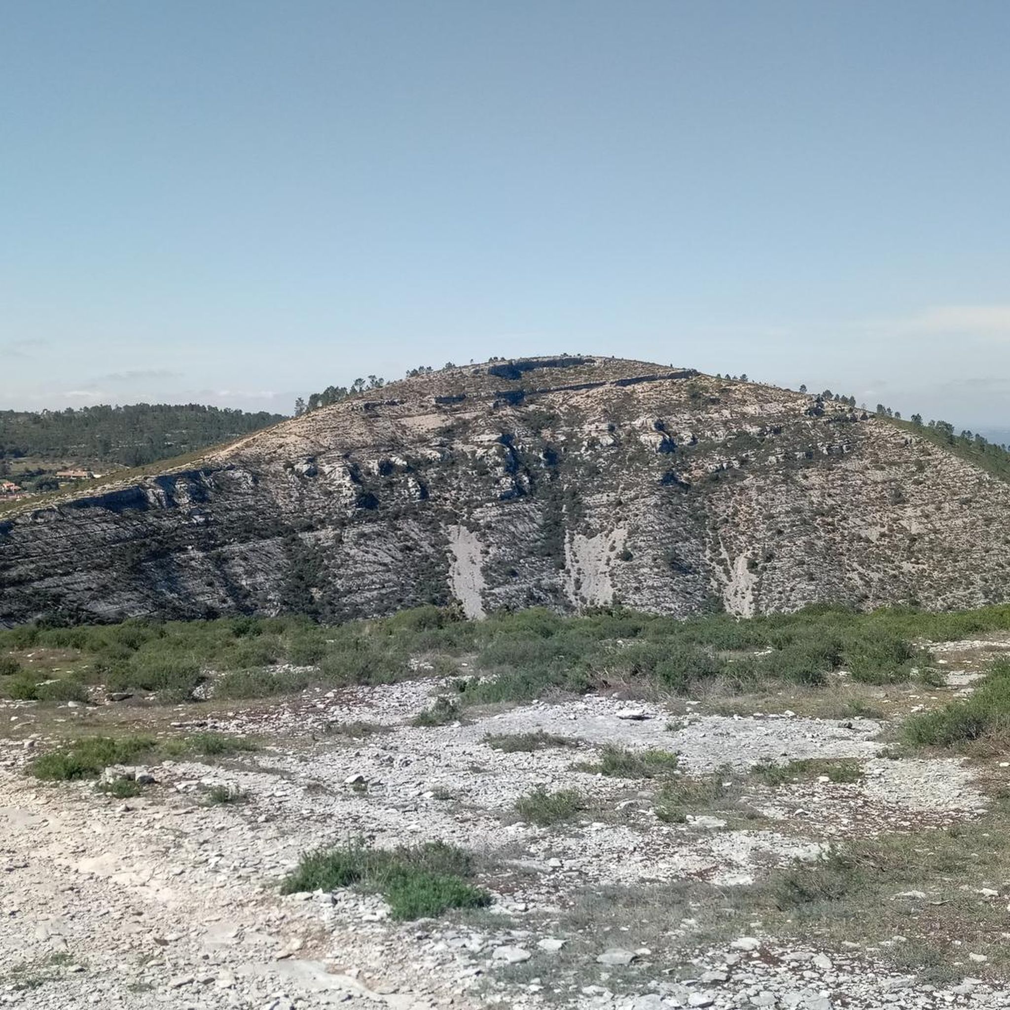
Διαδρομές ποδηλασίας Tomar

Διαδρομές ποδηλασίας Santa Maria Dos Olivais
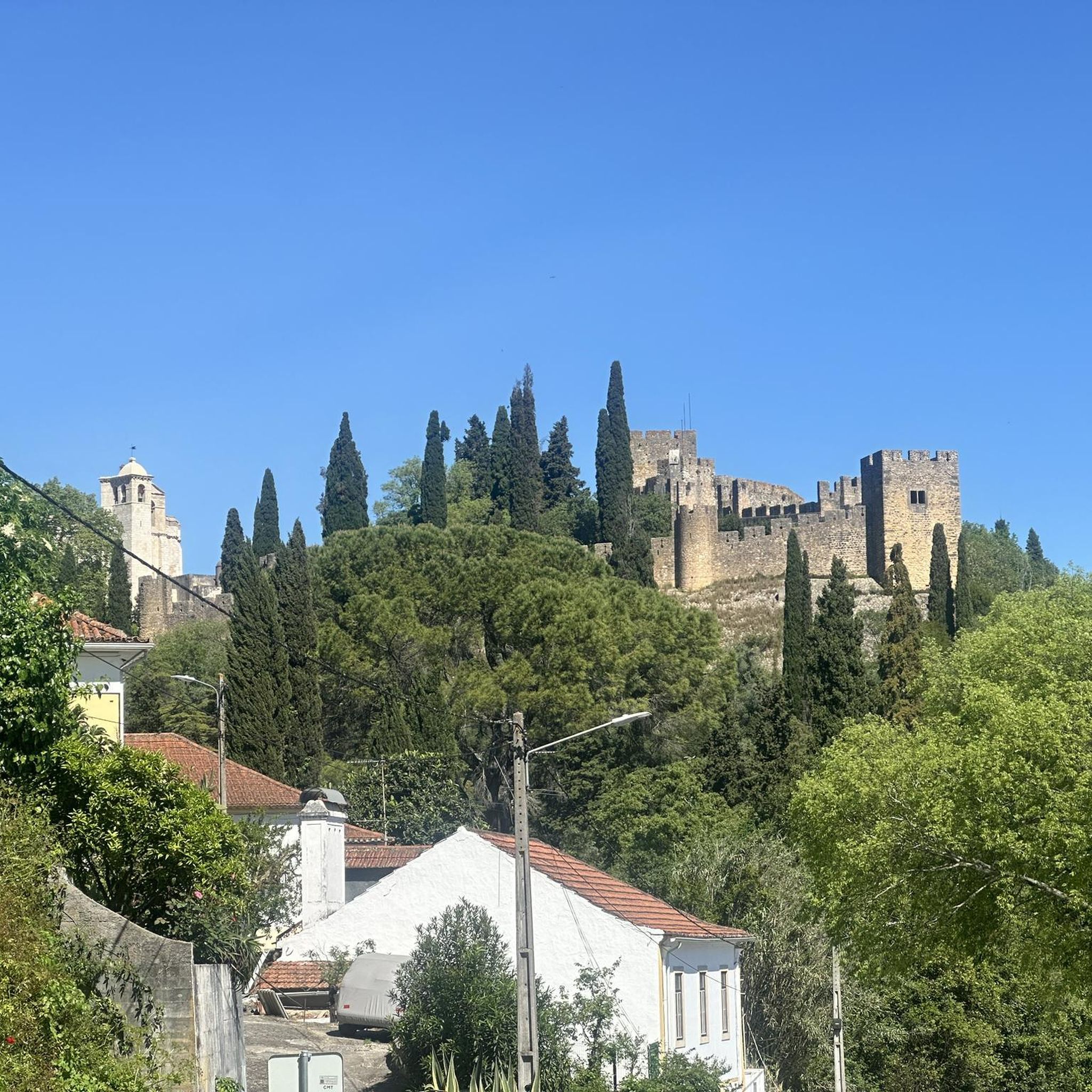
Διαδρομές ποδηλασίας Tomar (São João Baptista)
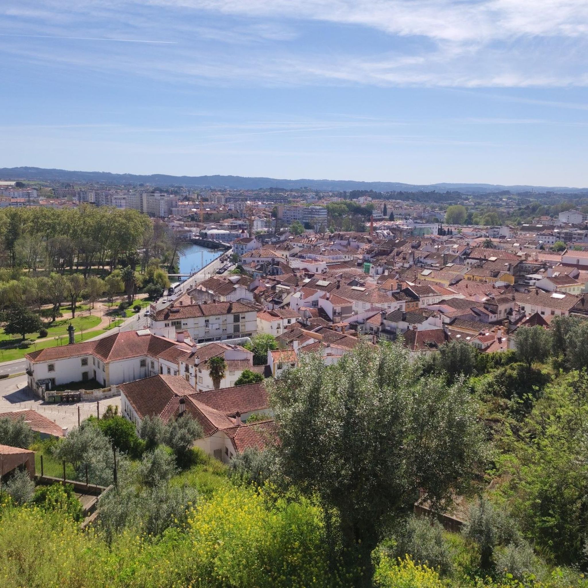
Διαδρομές ποδηλασίας Casais
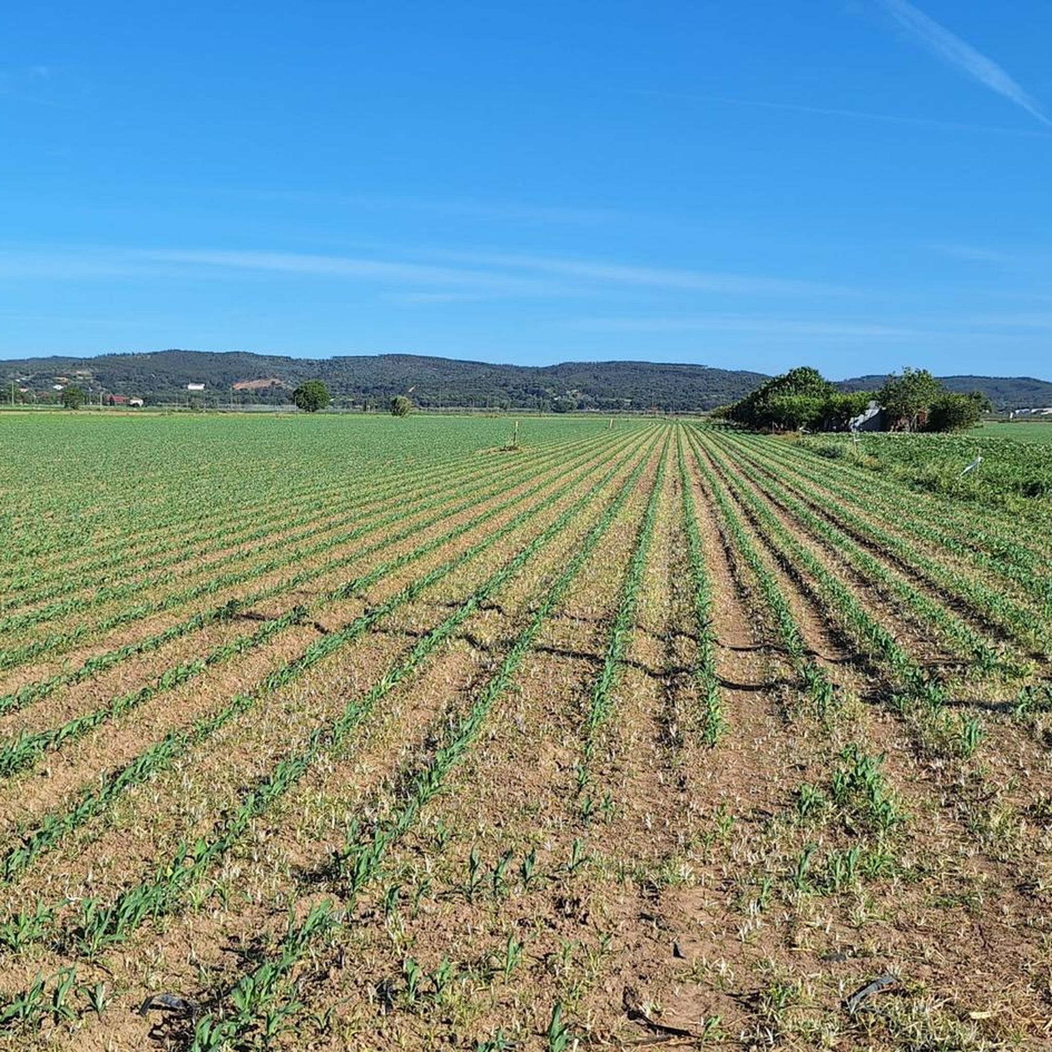
Διαδρομές ποδηλασίας Golegã

Διαδρομές ποδηλασίας Pinheiro Grande
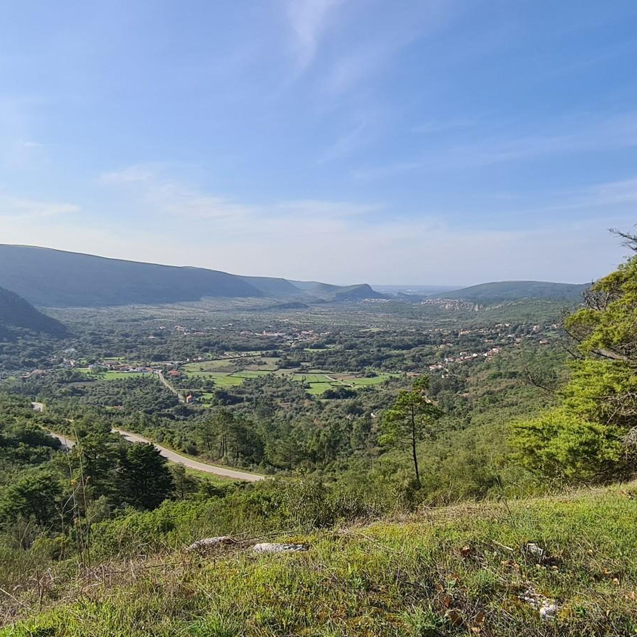
Διαδρομές ποδηλασίας Serra De Santo António
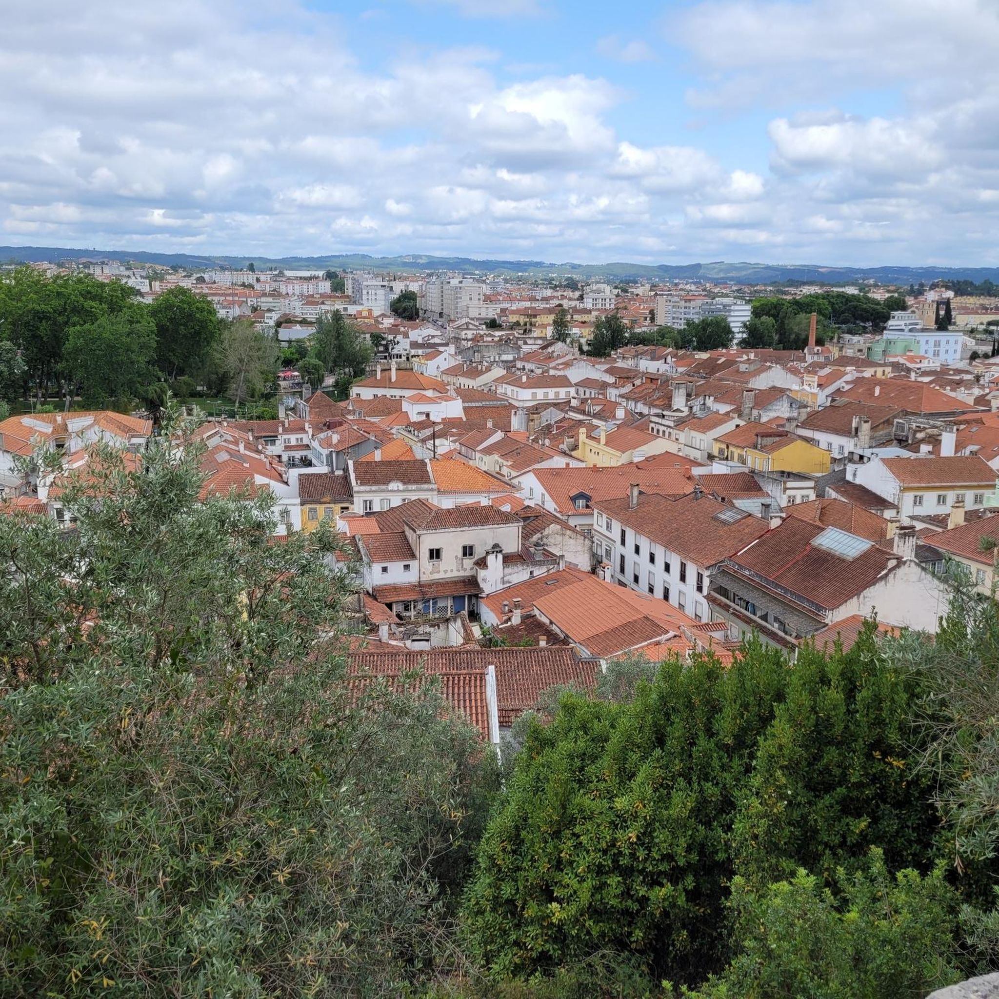
Διαδρομές ποδηλασίας Beselga
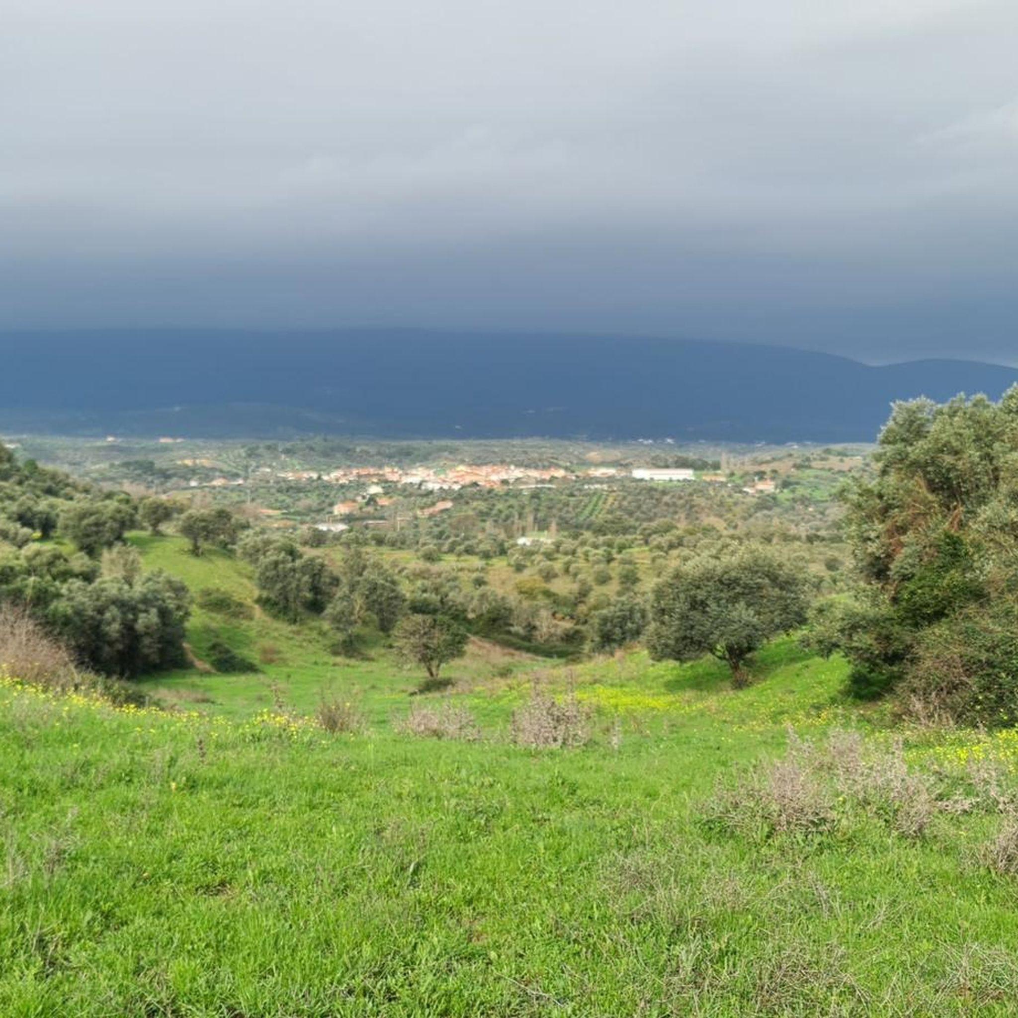
Διαδρομές ποδηλασίας Torres Novas

Διαδρομές ποδηλασίας Vale De Figueira
Συμβουλές από την κοινότητα

A tribute to the campino, that is, the traditional farmer of the region.
17
0

A wonderful, unusual monument to a difficult job and the people who did it.
4
1

The house where José Saramago was born is located in the village of Azinhaga, in the municipality of Golegã, district of Santarém, Portugal. The Azinhaga House Location: The house is located on Rua da Igreja, in Azinhaga, a typical village in Ribatejo, known for its landscape of fertile fields and its proximity to the Tagus River. Foundation: Currently, the childhood home houses the José Saramago Foundation Delegation in Azinhaga, a space of memory that recreates the environment of the writer's childhood and houses a library and an auditorium. Visits: The place is open to visitors who wish to learn about the roots of the only Nobel Prize winner in Literature in the Portuguese language. The Lanzarote House Although he was born in Azinhaga, the writer's most emblematic residence is "The House" in Tías, on the island of Lanzarote, Spain. It was there that he lived for much of his adult life, and where his vast personal library is located; today it functions as the José Saramago House-Museum and is open to the public.
2
0
Pombalinho is a town in the district of Santarém, Portugal, known for being frequently affected by floods. This reputation is due to its strategic location on the right bank of the Tagus River and near the Alviela stream, in a floodplain area. Why do floods occur? Proximity to the Tagus River: The main cause of the floods is the town's location near the Tagus Riverbed. During rainy winters, the river overflows and floods the surrounding areas, which are alluvial plains. Increased flow rates: Heavy rainfall in Portugal, along with discharges from upstream Spanish dams, cause a significant increase in water levels and flow rates of the Tagus, resulting in floods in the Lower Tagus. Affected communication routes: Floods frequently submerge local and national roads, such as the EN 365 at Ponte do Alviela, temporarily isolating Reguengo do Alviela and other neighboring towns. Impact and Local Resilience Historical Events: Pombalinho has a history of major floods, with notable events recorded in 1964 and 1979. Adaptation of Residents: Local residents accept, to some extent, these periodic floods as part of life in the region, although abnormally high floods cause damage and concern. Alert and Prevention: Civil protection authorities issue warnings to the population during critical periods, asking them to take the necessary actions to protect themselves, their families, and property.
2
0
The Roman Bridge of Reguengo (or Reguengo Bridge) is an ancient bridge, probably of medieval origin with a Roman base, located between the towns of Vale de Figueira and Pombalinho, in the district of Santarém, Portugal. It crosses the Ribeira do Alviela, a tributary of the Tagus River. About the Bridge Location: The bridge is situated in a rural area and access to it is via a road that passes in front of the site. State of conservation: The bridge is described as an old and abandoned structure, and some visitors have noted a lack of signage or historical indications at the site. Access: The site is frequented by fishermen, and visitors should be discreet and careful, as the area is not ideal for carelessness, especially with children. Current use: The bridge is not used for regular road traffic, as a new bridge was built further downstream (downstream means towards the mouth of the river, further down) for the current road. Location Approximate address: Between Vale de Figueira and Pombalinho, Santarém, Portugal. GPS: 39°27'36.2" N 8°51'25.9" W (approximate coordinates for the area).
1
0
Val'Doce is a pastry shop of the same name located in the district of Santarém. Specifically, it is located in the town of Vale de Figueira. Information about Val'Doce Address: R. Dr. Vitor Semedo 8 B, 2000-741 Vale de Figueira, Portugal, in the district of Santarém. Specialties: Known for its varied pastries, hamburgers, and daily specials, such as soup. Opening Hours: Monday, Wednesday, Thursday: 7:00–22:30. Friday, Saturday: 7:00–00:00. Sunday: 8:00–22:30. Tuesday: Closed. Amenities: It has an outdoor seating area, is wheelchair accessible, and accepts credit cards.
1
0
Machine used for road maintenance in the 1970s. Employees nicknamed it the Black Widow.
19
0

beautiful view
0
0
Οι πιο δημοφιλείς διαδρομές στο Σανταρέμ
Τα πιο δημοφιλή αξιοθέατα στο Σανταρέμ

Εμπνεύσου με την εφαρμογή komoot για κινητά


Δεν βρήκες αυτό που ψάχνεις;
Δες περισσότερα Διαδρομές δρόμου σε όλη την περιοχή Σανταρέμ παρακάτω και βρες την τέλεια διαδρομή στον προορισμό σου.
Ανακάλυψε περισσότερα
Περιηγήσου τα καλύτερα Διαδρομές δρόμου σε άλλες περιοχές.
