Οι καλύτερες διαδρομές ποδηλασίας δρόμου Pram
4,5
(212)
6.075
Ποδηλάτες
17
Ποδηλασίες
Θέλετε να κάνετε ποδηλασία δρόμου Pram; Εξετάσαμε όλες τις ποδηλατικές διαδρομές Pram για να βρούμε τις καλύτερες. Εξερευνήστε τις εδώ και βρείτε την τέλεια διαδρομή Pram.
Τελευταία ενημέρωση: 25 Αυγούστου 2026
4,0
(3)
39
Ποδηλάτες
36,3km
01:55
560m
560m
Μέτρια ποδηλασία δρόμου. Απαιτείται καλή φυσική κατάσταση. Κάποια τμήματα αυτής της διαδρομής μπορεί να είναι μη ασφαλτοστρωμένα και δύσκολα για οδήγηση.
4,0
(1)
32
Ποδηλάτες
Μέτρια ποδηλασία δρόμου. Απαιτείται καλή φυσική κατάσταση. Κάποια τμήματα αυτής της διαδρομής μπορεί να είναι μη ασφαλτοστρωμένα και δύσκολα για οδήγηση.

Εγγραφή δωρεάν
4,4
(16)
92
Ποδηλάτες
Μέτρια ποδηλασία δρόμου. Απαιτείται καλή φυσική κατάσταση. Κάποια τμήματα αυτής της διαδρομής μπορεί να είναι μη ασφαλτοστρωμένα και δύσκολα για οδήγηση.
5,0
(2)
19
Ποδηλάτες
Μέτρια ποδηλασία δρόμου. Απαιτείται καλή φυσική κατάσταση. Κάποια τμήματα αυτής της διαδρομής μπορεί να είναι μη ασφαλτοστρωμένα και δύσκολα για οδήγηση.
4,0
(1)
17
Ποδηλάτες
53,2km
02:40
360m
360m
Μέτρια ποδηλασία δρόμου. Απαιτείται καλή φυσική κατάσταση. Κάποια τμήματα αυτής της διαδρομής μπορεί να είναι μη ασφαλτοστρωμένα και δύσκολα για οδήγηση.
Πάρε πρόσβαση σε περισσότερες διαδρομές και προτάσεις από άλλους εξερευνητές.
Εγγραφή δωρεάν
Έχεις ήδη λογαριασμό;
Οι προτάσεις διαδρομών μας βασίζονται σε χιλιάδες πεζοπορίες, ποδηλασίες και τρεξίματα που ολοκληρώθηκαν από άλλους χρήστες στο komoot.
Ξεκίνα σήμερα με έναν δωρεάν λογαριασμό
Η επόμενη περιπέτειά σου σε περιμένει.
Σύνδεση ή εγγραφή
Συμβουλές από την κοινότητα

πολύ καλός μικρός τοπικός προμηθευτής και ειδυλλιακός τόπος
0
0

Ried is situated in the heart of the Innviertel hill country, in a depression of the Alpine foothills north of the Hausruck Forest. The town's name derives from the Middle High German word "Riet" (also: "Rieth," "Reet," "Rohr," and similar terms), meaning reeds growing on riverbanks and marshy ground. A spot where the gradient of the two rivers, Oberach and Breitsach, slowed and saturated the soil gave the town its name. The two rivers converge north of the old town to form the Rieder Bach, a stream that flows for 2.6 kilometers before emptying into the Antiesen River outside the town limits. Ried im Innkreis lies at an altitude of 433 meters. It extends 3.2 kilometers from north to south and 3.6 kilometers from west to east, covering a total area of 6.7 square kilometers.
3
0

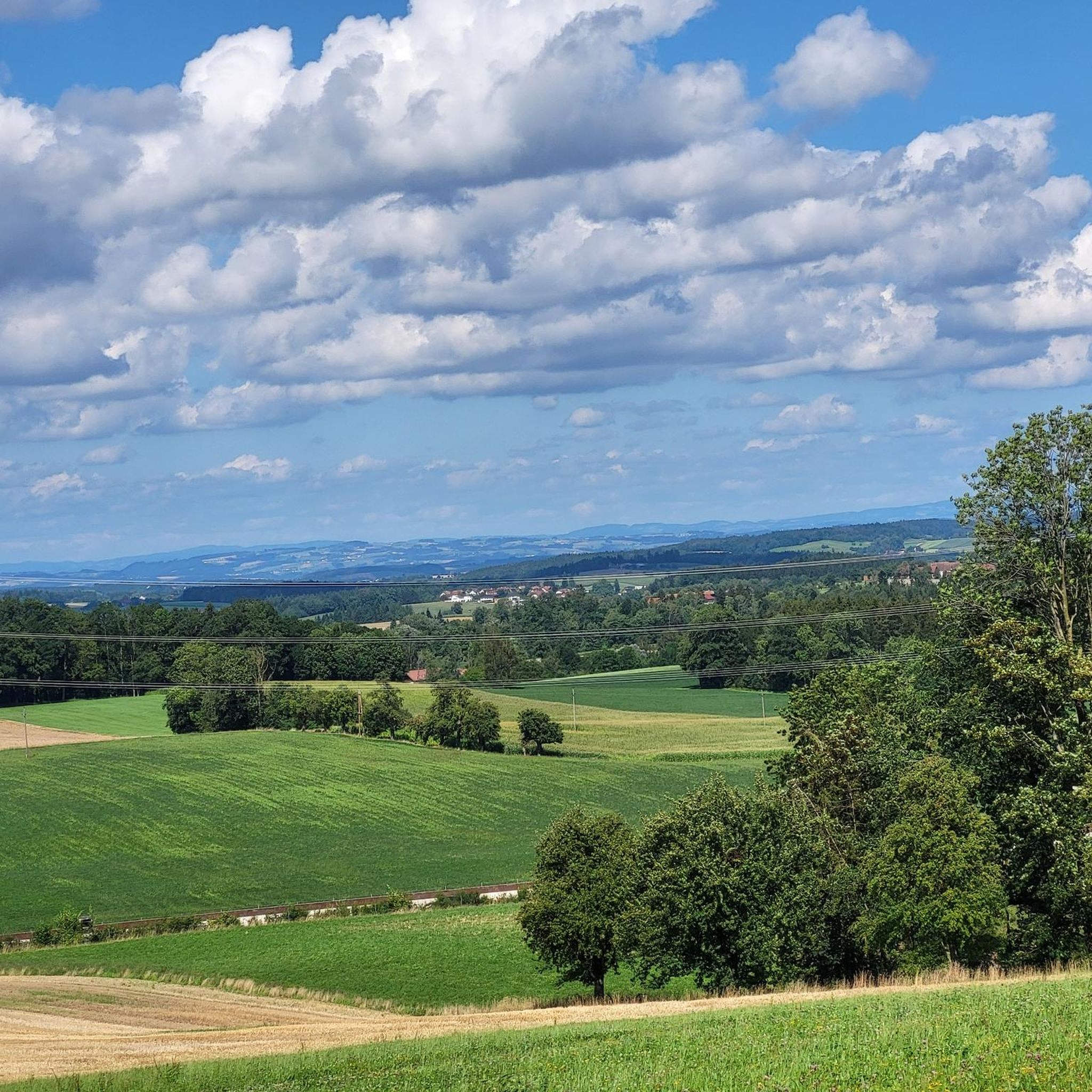
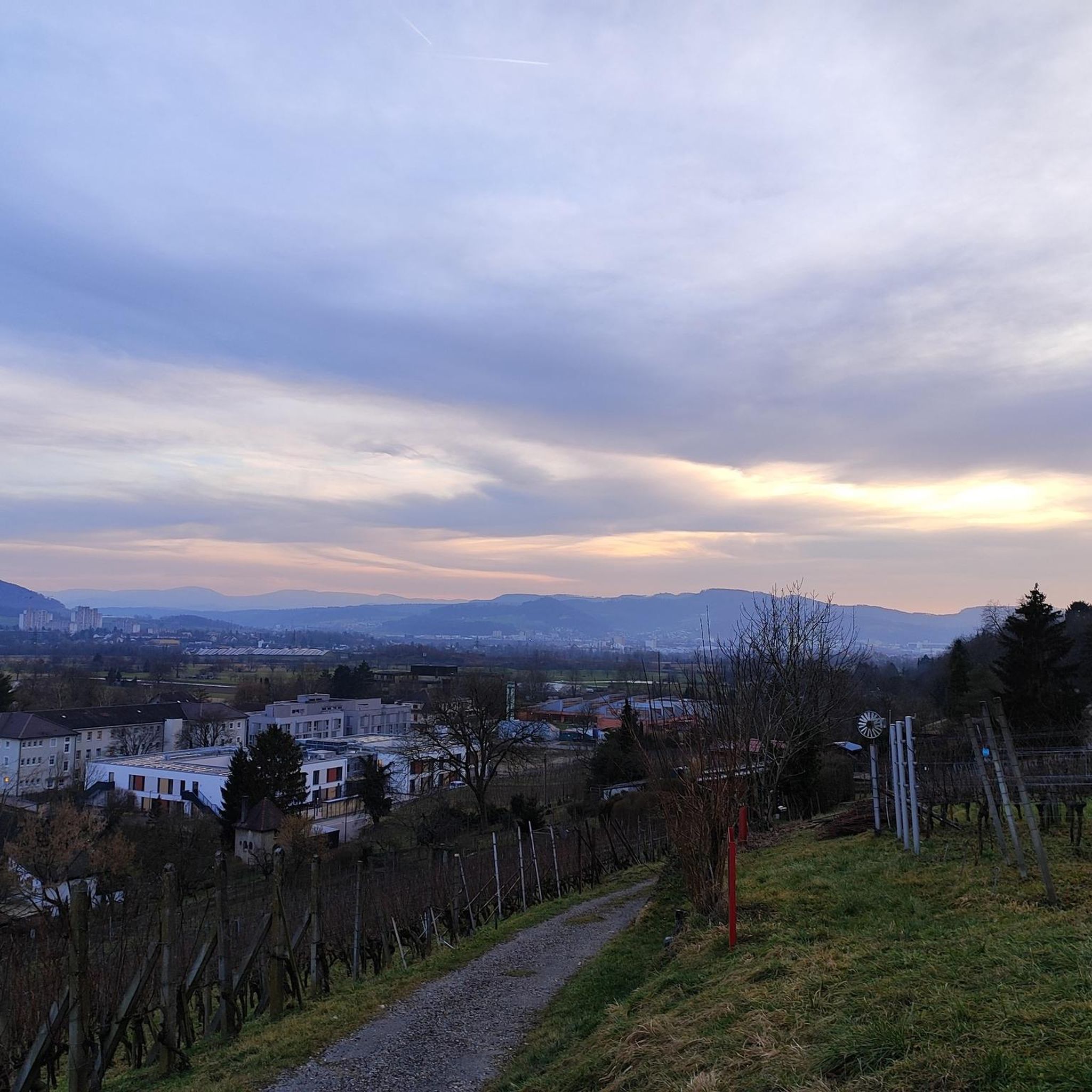
Panoramic view near Luisenhöhe, Haag am Hausruck, into the Pramtal valley.
0
0

Haag am Hausruck is a charming market town in the Grieskirchen district of Upper Austria. Here are some interesting facts about Haag am Hausruck: 1. Population: - The municipality has approximately 2,352 residents (as of January 1, 2025), making it a vibrant and active community. 2. Location: - Haag am Hausruck is situated in a picturesque setting, surrounded by the beautiful landscape of the Hausruck Forest, which offers numerous recreational opportunities. 3. History: - The municipality has a rich history dating back to the early settlement period. Historic buildings and monuments bear witness to this past. 4. Leisure Opportunities: - Haag has been a popular destination since the 1960s. The infrastructure and good transport links make it easy to enjoy nature, whether hiking, cycling, or simply relaxing in nature. 5. **Events**: - Haag regularly hosts **events** and festivals that enrich community life and attract visitors. Haag am Hausruck is therefore a fascinating destination with much to offer both locals and tourists.
1
0
The Haager Lies Cycle Path is an impressive cycling and walking path in Austria that runs along a former railway line. Here are some interesting facts about this cycle path: 1. Route Length: - The cycle path stretches over 22 km and offers a scenic route through the region. 2. Start and End Points: - The route begins in Neukirchen bei Lambach and continues to Haag am Hausruck. 3. Difficulty: - The cycle path is considered difficult because it may contain sections with loose ground that are difficult to navigate. A good level of fitness is required. 4. Elevation Gains: - The tour includes up to 450 meters of elevation gain, making it a challenging but rewarding experience. 5. Nature Experience: - The cycle path leads through a beautiful landscape characterized by forests, meadows, and picturesque views. 6. **Duration**: - The average cycling time is approximately **1 hour and 35 minutes**, depending on individual fitness and breaks. The Hague Lies Cycle Route is therefore an ideal destination for cyclists and nature lovers who want to enjoy the beauty of nature.
0
0
The "Klangstamm" (sound trunk) is a wooden sound box that you can walk inside. It was designed by the artists Josef Bücheler and Markus Leuthe. On the outside are various elements that can be used as musical instruments, including a series of sound bars and violin cases with trumpets.
1
0

nice place - steep climb!
0
0
Τα πιο δημοφιλή αξιοθέατα Pram

Εμπνεύσου με την εφαρμογή komoot για κινητά


Ανακάλυψε περισσότερα
Περιηγήσου τα καλύτερα Διαδρομές δρόμου σε άλλες περιοχές.
