Οι καλύτερες διαδρομές ποδηλασίας δρόμου στην Περούτζια
4,4
(1435)
43.754
Ποδηλάτες
1.723
Ποδηλασίες
Σε αυτόν τον οδηγό, εξετάσαμε ολόκληρη τη συλλογή διαδρομών ποδηλασίας δρόμου Περούτζια για να σας φέρουμε τις καλύτερες βόλτες στην περιοχή. Για να βρείτε αυτή που σας ταιριάζει, κάντε κλικ σε οποιαδήποτε διαδρομή για αναλυτικά στοιχεία με υψομετρικά προφίλ και αναλύσεις επιφάνειας, και δείτε συμβουλές και φωτογραφίες από μέλη της κοινότητας komoot.
Τελευταία ενημέρωση: 10 Οκτωβρίου 2026
4,6
(68)
1.783
Ποδηλάτες
59,7km
02:26
320m
320m
Embark on a picturesque road cycling journey around Lago di Trasimeno, starting from Castiglione del Lago. This moderate 37.1-mile (59.7 km) loop offers varied terrain, combining dedicated cycle paths, asphalt roads, and some dirt or gravel sections. You will enjoy tranquil lake shores, extensive olive groves, and vineyards, with continuous views of the water and charming medieval villages like Passignano and San Feliciano. The route has an elevation gain of 1041 feet (317 metres) and typically takes around 2 hours and 26 minutes to complete, making it a rewarding ride for many skill levels.
For your visit, be aware that while much of the route is relatively flat along the lake, some gently rolling hills appear if you venture into the surrounding Umbrian hinterland. The trail passes through villages such as Tuoro sul Trasimeno and Monte del Lago, offering opportunities for stops and exploration. It is generally recommended to ride the loop clockwise to minimize crossings and manage certain slopes more easily. While the route is considered family-friendly, less fit individuals might consider dividing it into shorter segments to fully enjoy the experience.
This cycling tour provides a complete circumnavigation of Lake Trasimeno, allowing you to experience the diverse facets of the region's natural beauty and history. You will pass by historical landmarks, natural reserves, and areas rich in birdlife, such as the Oasi della Valle. The route also offers an authentic immersion into the Umbrian countryside, with opportunities to explore fishing villages and enjoy local cuisine along olive oil and wine routes. It is a notable ring-route that showcases the unique blend of culture and nature around the lake.
4,7
(6)
398
Ποδηλάτες
Embark on a challenging racebike adventure through the Sibillini Mountains National Park and the Castelluccio Plain, starting from Norcia. This difficult loop covers 49.1 miles (79.1 km) with a significant 6642 feet (2024 metres) of elevation gain, typically taking around 4 hours and 43 minutes. You will climb through rugged peaks and deep valleys, experiencing dramatic landscapes and passing ancient hilltop villages. A highlight is the spectacular flowering of the Castelluccio Plain between May and July, transforming the area into a vibrant mosaic of colors.
This route is best suited for experienced cyclists with very good fitness levels due to its demanding nature. You will encounter several hard climbs, including a 10-kilometer ascent to Forca di Gualdo with an average gradient of 7%. While most surfaces are well-paved, be prepared for some unpaved segments that can be difficult to ride. Consider that guided tours suggest up to 9 hours for the full experience, including breaks, so plan your day accordingly.
Beyond the physical challenge, the trail offers a rich cultural and natural experience. You will pass through charming medieval villages like Preci, Visso, and Castelsantangelo sul Nera, offering a glimpse into untouched Italian charm. The route also takes you across the regional border into the Marche region and showcases the rich biodiversity of the Sibillini Mountains National Park, home to species such as the wolf and golden eagle.

4,2
(12)
231
Ποδηλάτες
40,6km
02:14
770m
770m
This moderate racebike loop around Assisi and the Parco Regionale del Monte Subasio covers 25.2 miles (40.6 km) with a significant 2536 feet (773 metres) of elevation gain, taking about 2 hours and 13 minutes to complete. You'll climb through diverse terrain, starting with olive groves and cultivated belts on the lower slopes. As you ascend, the landscape shifts to woodlands, eventually opening up to secondary grasslands near the summit. From these higher points, you can enjoy panoramic views of the central Umbria valley and the historic town of Assisi below. The route offers a scenic experience with demanding climbs on the slopes of Mount Subasio.
While the trail is generally moderate, be prepared for significant elevation changes and challenging sections. Some routes in the Parco Regionale del Monte Subasio area can include unpaved segments or steep gradients, so ensure your racebike is suitable and you have good fitness. Starting from Assisi is a common approach, allowing you to easily access the loop. Plan your visit to make the most of the varied terrain and stunning vistas.
This area is highly regarded by the cycling community for its beautiful routes and diverse landscapes. Beyond the natural beauty, the region is rich in history and art, with charming medieval villages like Spello often included in similar loops. You can discover unique geological features such as the karst phenomena known as "The Mortari," adding another layer of interest to your ride. It's an ideal way to immerse yourself in nature and local culture.
4,7
(6)
171
Ποδηλάτες
38,5km
02:05
760m
760m
Embark on a moderate road cycling adventure with The hills on Lake Trasimeno – loop from Passignano. This route covers 23.9 miles (38.5 km) and features a significant 2485 feet (757 metres) of elevation gain, typically taking around 2 hours and 5 minutes to complete. You will experience a dynamic landscape, transitioning from the flat, dedicated cycle paths along Lake Trasimeno's shores to the undulating roads of the surrounding Umbrian hills, where olive groves and vineyards paint a picturesque scene. Expect expansive views of Italy's fourth-largest lake as you climb, with charming medieval villages dotting the horizon.
Starting conveniently from Passignano, which is easily accessible by road or rail, this route offers a well-rounded cycling experience. While much of the ride is on paved roads suitable for a racebike, some sections might involve mixed surfaces or light traffic, so always stay aware of your surroundings. The area is known for its well-maintained cycle path network, making it a popular destination for cyclists looking for both scenic beauty and a good workout. Consider an early start to enjoy the tranquility and cooler temperatures, especially during warmer months.
The Lake Trasimeno area is celebrated for its unique blend of natural beauty, rich history, and excellent cycling infrastructure. This route allows you to immerse yourself in changing landscapes, from the reeds and wildlife near the lake to the elevated terrain offering panoramic vistas. It's a notable destination for its ability to combine a beautiful lakeside loop with challenging excursions into the hills, providing numerous vantage points for stunning lake views and glimpses of historical sites like Castiglione del Lago and Tuoro sul Trasimeno.
4,2
(5)
149
Ποδηλάτες
77,4km
03:59
1.310m
1.310m
Embark on a difficult road cycling adventure through the heart of Umbria with the La Valtopina and Colfiorito loop from Foligno. This challenging route spans 48.1 miles (77.4 km) and features a significant elevation gain of 4291 feet (1308 metres), typically taking around 3 hours and 58 minutes to complete. As you pedal, you will traverse lush green hills, extensive olive groves, and picturesque vineyards, characteristic of the region's diverse landscape. A highlight is the scenic area around Colfiorito, where you can admire the large marshy plain and the rich flora and fauna of the Colfiorito Regional Park. You will also pass through charming historic towns like Collepino, known for its "magical" streets, and Nocera Umbra, an "enchanting village" with ancient buildings.
Since this is a loop route starting from Foligno, you can begin your ride directly from the town. The trail is known for mostly well-paved surfaces, but the substantial elevation gain, including a Category 2 ascent to Colfiorito Pass, demands very good fitness. Consider starting early to make the most of the daylight and avoid the warmest parts of the day, especially during summer months. The route along the old SS77 of the Val di Chienti offers a particularly pleasant cycling experience due to reduced traffic.
This route is distinguished as the most popular road cycling route in the Foligno area, attracting local cyclists with its challenging nature and varied terrain. The climb to Colfiorito Pass covers 18.3 kilometers, rising 559 meters to a summit of 824 meters, with an average gradient of 3%. Beyond the physical challenge, the trail integrates natural beauty, such as the Colfiorito Regional Park, with cultural highlights found in historic villages, offering a comprehensive experience of Umbrian cycling.
4,5
(2)
131
Ποδηλάτες
The Alpe della Luna Loop from Città di Castello is a difficult racebike route that takes you through the Riserva Naturale Alpe della Luna. You will cover 61.6 miles (99.1 km) and climb an impressive 5810 feet (1771 metres), a ride that typically takes about 5 hours and 8 minutes. As you pedal, you will experience the Apennine mountain range, passing through tranquil villages and forest-covered hills. Expect beautiful landscapes of beech forests and pastures, with rewarding vistas after demanding climbs, especially when conquering mountain passes like Bocca Serriola Pass.
This is a hard road ride, so you should have a very good level of fitness to tackle its significant elevation gain. The roads are mostly well-paved, but be ready for varied gradients and lengths of climbs throughout the loop. There are no specific warnings about permits or seasonal closures mentioned for this route, allowing for flexible planning. Always check local conditions before you head out.
This challenging loop offers a deep dive into the natural beauty of the Apennine mountain range, specifically within the Riserva Naturale Alpe della Luna. The route is notable for its blend of serene village passages and the demanding, yet rewarding, ascents through forested hills. It provides a comprehensive experience of the border region between Umbria and Marche, showcasing diverse landscapes and panoramic views.
4,5
(2)
121
Ποδηλάτες
66,4km
03:43
1.360m
1.360m
Embark on the Monte Serano Springs Loop from Foligno, a challenging road cycling route designed for experienced riders. This difficult 41.2-mile (66.4 km) journey will take you through the Monti Serano - Brunette region, climbing a significant 4461 feet (1360 metres) in elevation. You can expect to complete this loop in about 3 hours and 42 minutes, enjoying expansive views of the Umbrian valleys stretching towards Spoleto and Montefalco, alongside green fields and vineyards.
As you plan your ride, remember this route starts and ends conveniently in Foligno. Due to the substantial elevation gain and some unpaved, difficult segments, a very good level of fitness is essential. Be prepared that you might need to push your bike on certain sections. The route is best suited for those seeking a rewarding and demanding cycling experience.
One of the unique highlights of this loop is passing through Rasiglia, a charming medieval village renowned for its numerous streams and waterfalls that flow directly between its houses and shops. The route also traverses protected natural areas, including the Fiume e Fonti del Clitunno, offering a blend of cultural interest and natural beauty.
5,0
(3)
101
Ποδηλάτες
41,5km
02:02
530m
530m
Embark on a racebike adventure through the Umbrian landscape with the Monte Santa Maria Tiberina Loop. This moderate route spans 25.8 miles (41.5 km) and features a total elevation gain of 1738 feet (530 metres), taking about 2 hours and 1 minute to complete. You will cycle from the flat sections of the Tiber Valley, gradually climbing towards charming hilltop towns, with the medieval village of Monte Santa Maria Tiberina offering incredible panoramic views.
This road cycling loop is best suited for riders with good fitness levels, given its varied terrain and climbs. The route begins in Città di Castello, where you can easily find general parking for cyclists. The roads along the way are mostly well-maintained, ensuring a smooth and enjoyable ride as you explore the region.
The trail stands out for its blend of scenic beauty and cultural immersion, connecting the fertile Tiber Valley with historic settlements. You will experience the unique character of Umbria's back roads, culminating in the picturesque Monte Santa Maria Tiberina. This town provides a perfect stop to appreciate the rich history and expansive vistas of the surrounding countryside.
3,7
(3)
97
Ποδηλάτες
108km
05:15
1.420m
1.430m
Prepare for a difficult road cycling adventure on "The village of Prodo from Deruta – loop tour." This challenging 67.1-mile (108.0 km) route demands very good fitness, featuring significant climbs that lead to a total elevation gain of 4675 feet (1425 metres). You can expect scenic Umbrian views throughout, especially as you approach the historic Prodo Castle or ascend Passo del Monte Peglia. The ride typically takes around 5 hours and 15 minutes to complete, offering a rewarding experience for experienced cyclists.
This difficult loop tour is designed for road cyclists with very good fitness, so plan accordingly for the demanding climbs. The route is mostly well-paved, but the significant elevation gain means you should be prepared for a strenuous ride. Ensure your bike is in excellent condition and carry enough hydration and nutrition for the 5-hour and 15-minute duration. While specific trailhead details are not provided, the tour starts from Deruta, so consider local parking options there.
Beyond the physical challenge, this route immerses you in the rich history and natural beauty of Umbria. You will pass by the medieval Prodo Castle, a privately owned landmark offering panoramic views, and the village square with its community bar. The route also includes Passo del Monte Peglia, part of the Monte Peglia and Selva di Meana Park area, known for its expansive vistas. Additionally, you will encounter Ospedaletto, an ancient Etruscan resting place for pilgrims, home to the 14th-century Santa Caterina d'Alessandria church.
5,0
(3)
89
Ποδηλάτες
50,8km
02:15
430m
430m
The "Way of St. Francis: Upper Tiber Valley Loop" offers a moderate road cycling experience through the heart of Umbria. You will pedal through gentle landscapes, past cultivated fields, and alongside peaceful forests, enjoying the rural charm of the Upper Tiber Valley. The route features spectacular riding on twisting roads, providing a dynamic journey for your racebike. This loop covers 31.6 miles (50.8 km) with a total elevation gain of 1417 feet (432 metres), making it a rewarding ride that takes about 2 hours and 14 minutes to complete. As you cycle, you will catch glimpses of the historic town of Citerna perched on a hill, offering scenic views across the valley.
To begin your journey, you can typically find parking available in Città di Castello, which serves as the starting point for this loop. The route is mostly well-paved, making it ideal for road bikes, so ensure your equipment is suited for this type of terrain. Traffic conditions in this part of Umbria are generally civilized, contributing to a more enjoyable and relaxed ride. While the trail is moderate, a good level of fitness will help you fully appreciate the experience.
This loop immerses you in the natural beauty and historical richness of the Upper Tiber Valley. You will pass directly through Città di Castello, a town renowned for its stunning medieval center, offering a chance to explore its heritage. Consider a short detour to Montone, recognized as one of Italy's most beautiful villages, to add another layer to your adventure. The route provides a unique blend of natural beauty and cultural landmarks, making it a notable ride in the region.
Πάρε πρόσβαση σε περισσότερες διαδρομές και προτάσεις από άλλους εξερευνητές.
Έχεις ήδη λογαριασμό;
Οι προτάσεις διαδρομών μας βασίζονται σε χιλιάδες πεζοπορίες, ποδηλασίες και τρεξίματα που ολοκληρώθηκαν από άλλους χρήστες στο komoot.
Ξεκίνα σήμερα με έναν δωρεάν λογαριασμό
Η επόμενη περιπέτειά σου σε περιμένει.
Δημοφιλή γύρω από Περούτζια
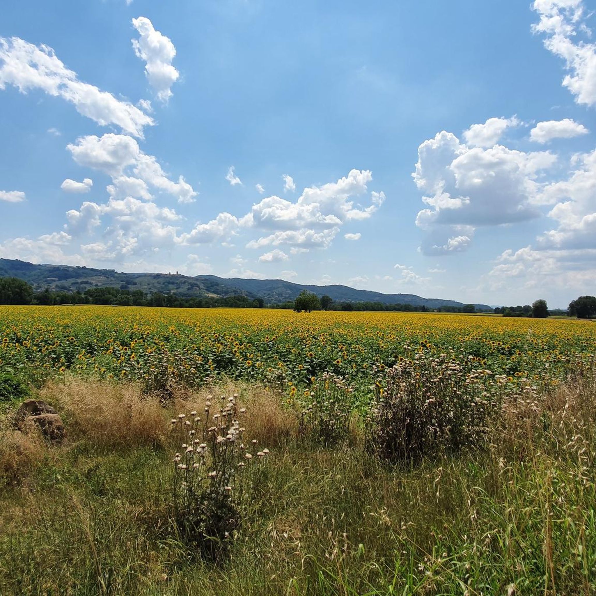
Διαδρομές ποδηλασίας Bettona
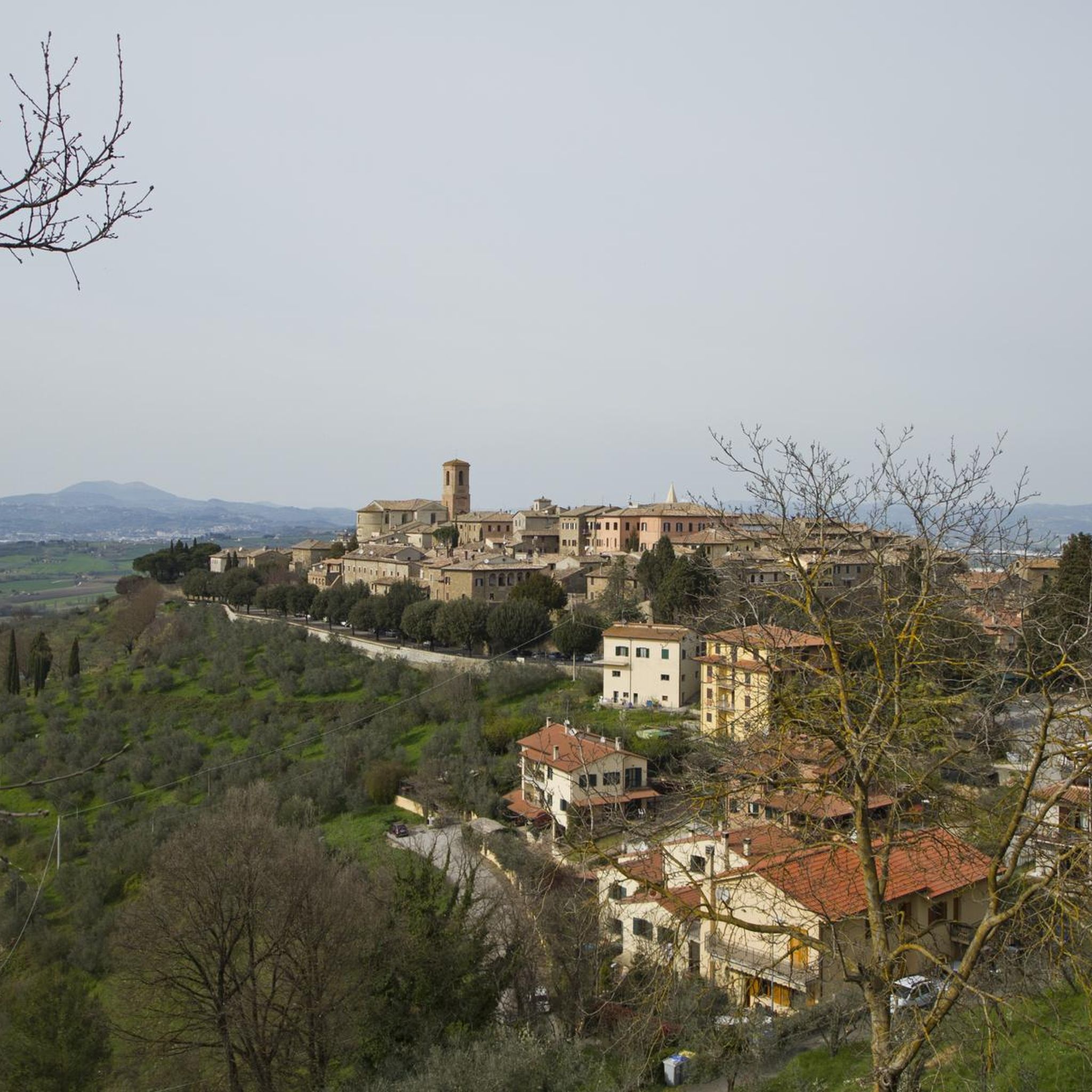
Διαδρομές ποδηλασίας Deruta
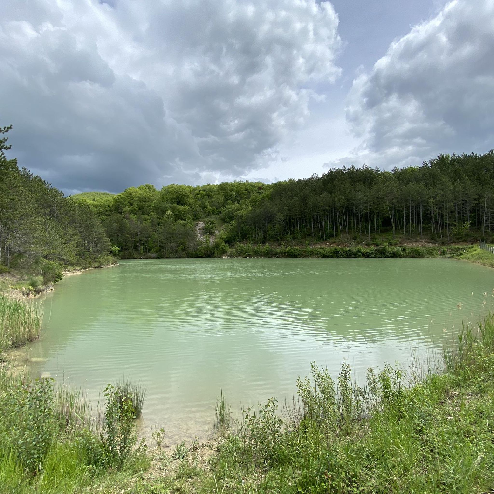
Διαδρομές ποδηλασίας Città Di Castello
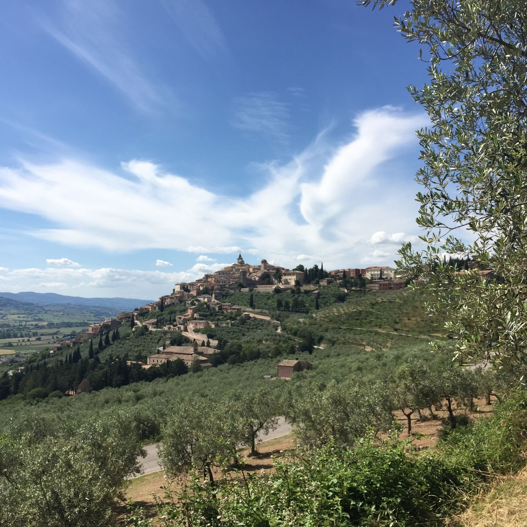
Διαδρομές ποδηλασίας Lecceta di Sassovivo
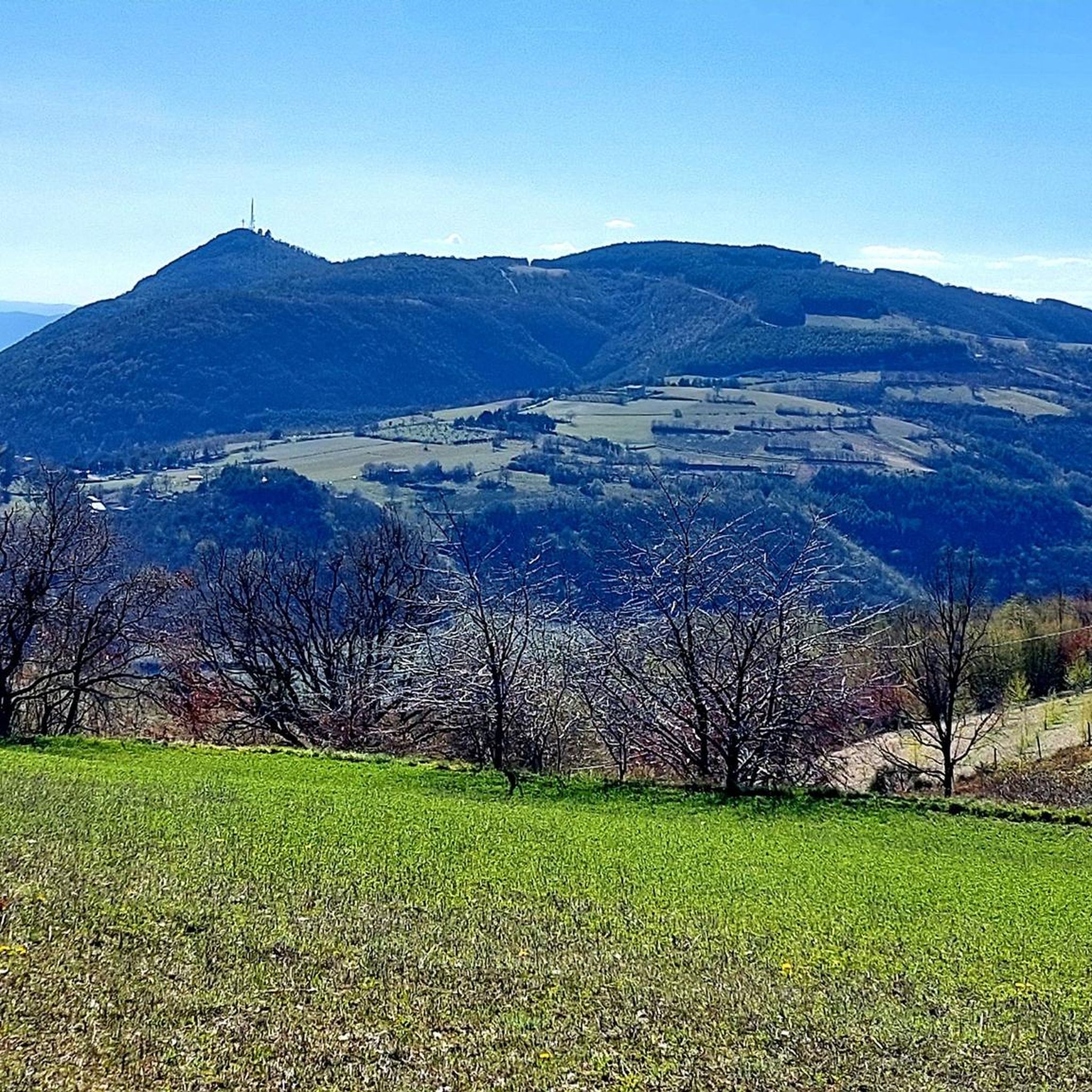
Διαδρομές ποδηλασίας Foligno
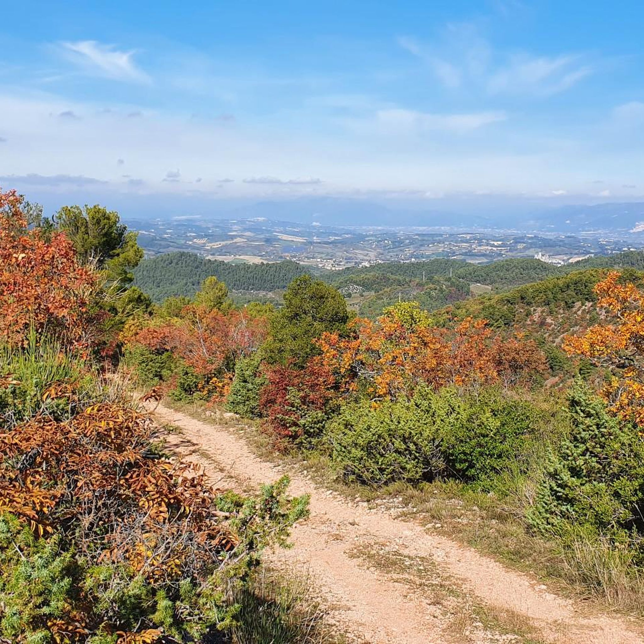
Διαδρομές ποδηλασίας Spoleto
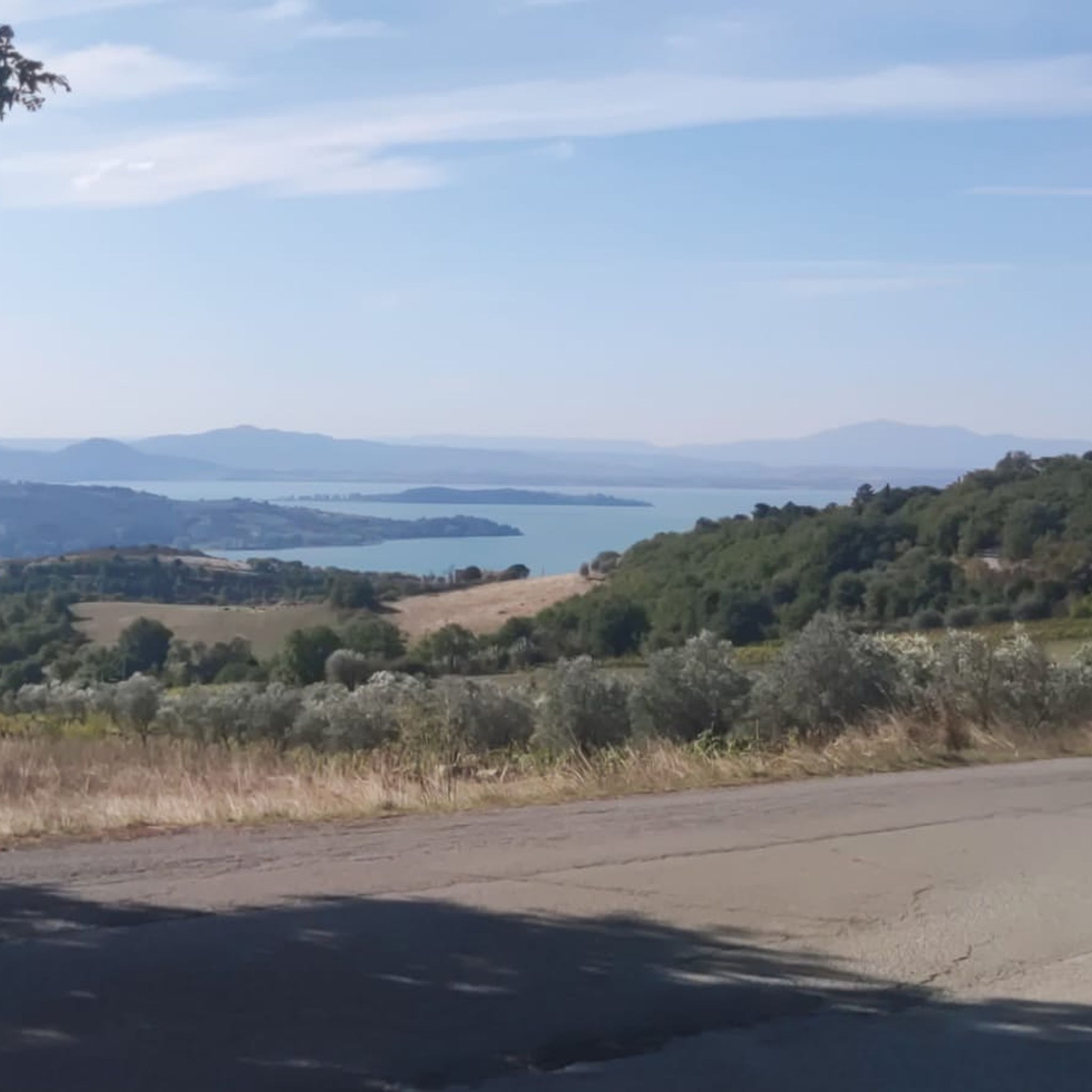
Διαδρομές ποδηλασίας Parco del Lake Trasimeno
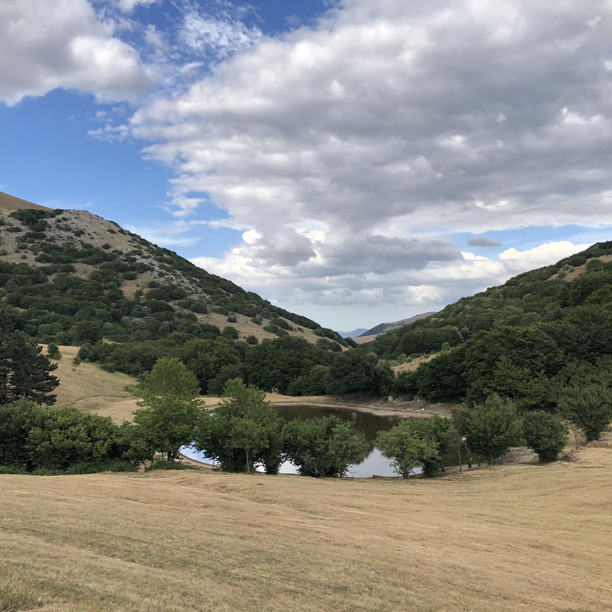
Διαδρομές ποδηλασίας Riserva Monti Maggio E Nero
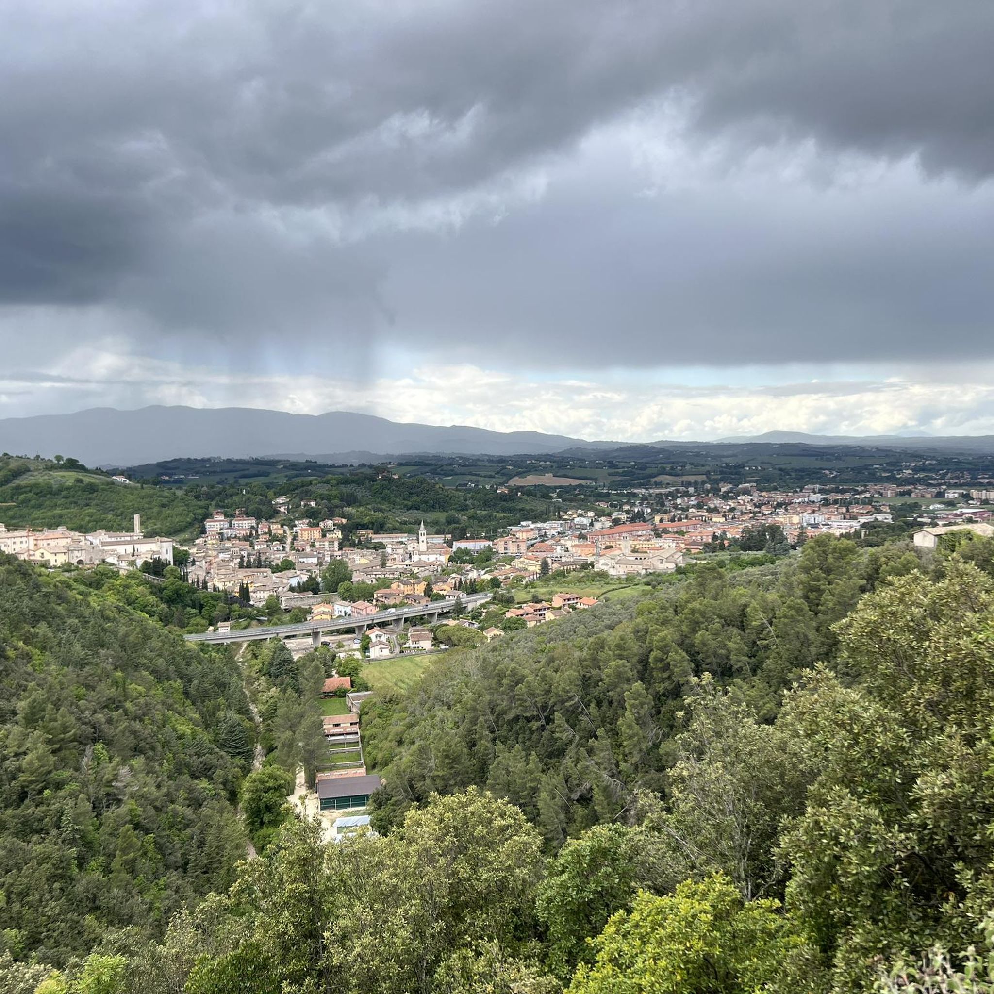
Διαδρομές ποδηλασίας Monteluco Di Spoleto
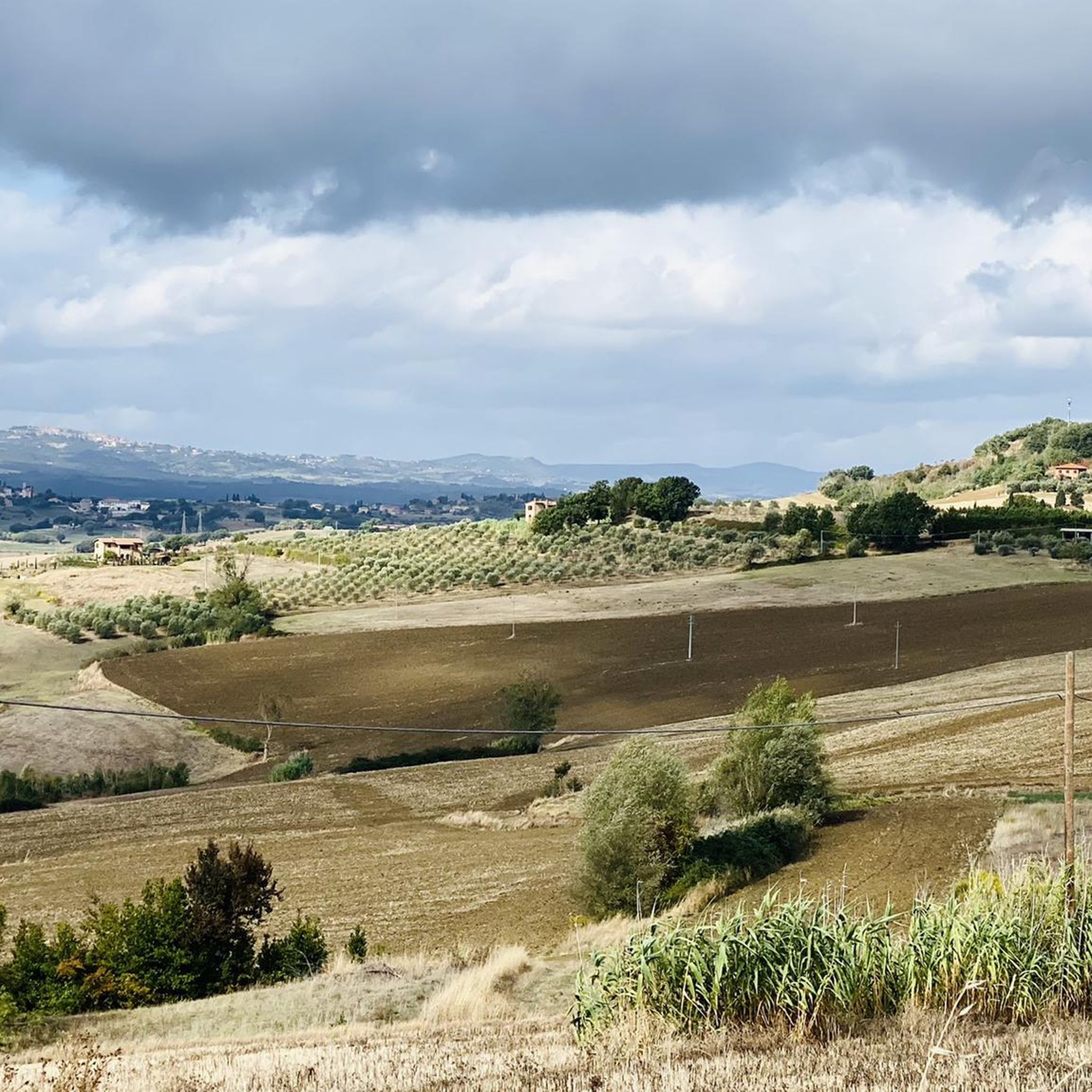
Διαδρομές ποδηλασίας Castiglione Del Lago
Άλλες περιπέτειες στην Περούτζια


Συμβουλές από την κοινότητα

Αν περάσετε από εκεί, σταματήστε, είναι ένα πανέμορφο μέρος. Η είσοδος στο πάρκο είναι επί πληρωμή, αλλά είναι ένα μαγικό μέρος. Το καλοκαίρι, ωστόσο, έχει πάρα πολύ κόσμο
0
0
πολύς κόσμος την καλοκαιρινή περίοδο
0
0
πανέμορφο μέρος για να σταματήσετε και να κάνετε μια βόλτα στο πάρκο (αν και επί πληρωμή)
0
0

Ευχάριστο πέρασμα για οδήγηση, που συνδέει την Ούμπρια με το Λε Μάρκε. Καλός δρόμος, σχετικά ομοιόμορφη κλίση, λίγη κίνηση!
0
0

Το Valico Gasparini είναι μία από τις ομορφότερες αναβάσεις της λίμνης Τρασιμένο. Ξεκινά από το Tuoro sul Trasimeno και, χιλιόμετρο με το χιλιόμετρο, προσφέρει υπέροχες θέες στη λίμνη που κάνουν την προσπάθεια πολύ πιο ευχάριστη. Φτάνοντας στο πέρασμα, οι επιλογές είναι πολλές: μπορείτε να συνεχίσετε προς την Val di Niccone και την Umbertide, να κατεβείτε προς το Mercatale και μετά να ανεβείτε ξανά προς την Cortona, ή να εξερευνήσετε τα πολυάριθμα χωμάτινα μονοπάτια της περιοχής, ιδανικά για ποδήλατα gravel και mountain bike. Στην κορυφή αξίζει μια στάση στο Bar Lo Scoiattolo, με τη πανοραμική βεράντα του που βλέπει στους λόφους. Είναι το ιδανικό μέρος για να ανακτήσετε τις δυνάμεις σας με έναν καφέ και ένα από τα εξαιρετικά σπιτικά γλυκά τους: το strudel είναι μια πραγματική σπεσιαλιτέ. Μια πανοραμική, ήσυχη ανάβαση γεμάτη δυνατότητες, ιδανική τόσο για όσους αγαπούν τον δρόμο όσο και για όσους θέλουν να συνεχίσουν την περιπέτεια σε χωμάτινο έδαφος.
0
0

Ένα πέρασμα συνολικά όχι δύσκολο αλλά παρόλα αυτά απαιτητικό, ειδικά αν - όπως προσπάθησα να κάνω εγώ - στα πρώτα χιλιόμετρα το διασχίσεις από έναν «εναλλακτικό» δρόμο σε σχέση με τον κύριο. Υπάρχουν τοπία σπάνιας ομορφιάς, είσαι βυθισμένος στο πράσινο, η άσφαλτος είναι συνολικά καλή, η κίνηση υποφερτή. Και όταν φτάνεις στην κορυφή είναι πραγματικά μια όμορφη ικανοποίηση.
0
0

Prodo Castle dominates the small village of the same name, a hamlet of Orvieto (TR). Built in 1222 by the Prodenzani family as a trapezoidal defensive stronghold with tuff walls, square and round towers, arrow slits, and a fortified gate, it was strengthened between the 13th and 15th centuries to control the Umbrian valleys. Garibaldi's refuge in 1849, it is now privately owned. Although the interior cannot be visited, the exterior offers panoramic views of the Fosso Campione, making it ideal for excursions near the Forello Gorges.
0
0

Trevi's historic center retains the charm of its medieval alleys, narrow and winding, weaving between stone houses and ancient buildings. These streets were designed not only to connect squares and gates, but also to defend the city, creating sheltered and safe routes. The houses feature small doorways and windows, while stairways and arches connect different levels, following the hilly terrain. Walking through the alleys, you'll experience a secluded atmosphere, filled with unexpected glimpses and silhouettes of rooftops and bell towers. Every corner tells stories of daily life, shops, markets, and medieval traditions, making the village a true journey into the past.
0
0
Οι πιο δημοφιλείς διαδρομές στην Περούτζια
Τα πιο δημοφιλή αξιοθέατα στην Περούτζια

Εμπνεύσου με την εφαρμογή komoot για κινητά


Δεν βρήκες αυτό που ψάχνεις;
Δες περισσότερα Διαδρομές δρόμου σε όλη την περιοχή Περούτζια παρακάτω και βρες την τέλεια διαδρομή στον προορισμό σου.
Ανακάλυψε περισσότερα
Περιηγήσου τα καλύτερα Διαδρομές δρόμου σε άλλες περιοχές.
