Οι καλύτερες ποδηλατικές διαδρομές στο Μετζιμούριε
4,3
(168)
984
Ποδηλάτες
28
Ποδηλασίες
Η ποδηλασία Μετζιμούριε είναι ένας από τους πιο ευχάριστους τρόπους να εξερευνήσετε αυτό το μέρος της περιοχής Κροατία. Για να βρείτε την τέλεια ποδηλατική εκδρομή στην περιοχή Μετζιμούριε, εξετάσαμε ολόκληρη τη συλλογή ποδηλατικών διαδρομών. Κάντε κλικ σε κάθε διαδρομή για αναλυτικά στοιχεία με υψομετρικά προφίλ και αναλύσεις επιφάνειας, και δείτε συμβουλές και φωτογραφίες από μέλη της κοινότητας komoot.
Τελευταία ενημέρωση: 11 Σεπτεμβρίου 2026
4,0
(4)
15
Ποδηλάτες
53,8km
03:07
70m
70m
Μέτρια ποδηλασία. Απαιτείται καλή φυσική κατάσταση. Κυρίως ασφαλτοστρωμένες επιφάνειες. Κατάλληλο για όλα τα επίπεδα δεξιοτήτων.
14
Ποδηλάτες
48,0km
02:54
370m
370m
Μέτρια ποδηλασία. Απαιτείται καλή φυσική κατάσταση. Κυρίως ασφαλτοστρωμένες επιφάνειες. Κατάλληλο για όλα τα επίπεδα δεξιοτήτων.

5,0
(2)
10
Ποδηλάτες
Δύσκολη ποδηλασία. Απαιτείται πολύ καλή φυσική κατάσταση. Κυρίως ασφαλτοστρωμένες επιφάνειες. Κατάλληλο για όλα τα επίπεδα δεξιοτήτων.
4,4
(5)
8
Ποδηλάτες
51,4km
03:01
200m
200m
Μέτρια ποδηλασία. Απαιτείται καλή φυσική κατάσταση. Κυρίως ασφαλτοστρωμένες επιφάνειες. Κατάλληλο για όλα τα επίπεδα δεξιοτήτων.
5,0
(2)
14
Ποδηλάτες
43,6km
02:36
90m
90m
Μέτρια ποδηλασία. Απαιτείται καλή φυσική κατάσταση. Κυρίως ασφαλτοστρωμένες επιφάνειες. Κατάλληλο για όλα τα επίπεδα δεξιοτήτων.
4,5
(2)
10
Ποδηλάτες
29,4km
01:47
190m
190m
Μέτρια ποδηλασία. Απαιτείται καλή φυσική κατάσταση. Κυρίως ασφαλτοστρωμένες επιφάνειες. Κατάλληλο για όλα τα επίπεδα δεξιοτήτων.
10
Ποδηλάτες
46,4km
02:57
530m
530m
Δύσκολη ποδηλασία. Απαιτείται πολύ καλή φυσική κατάσταση. Κυρίως ασφαλτοστρωμένες επιφάνειες. Κατάλληλο για όλα τα επίπεδα δεξιοτήτων.
8
Ποδηλάτες
38,2km
02:19
200m
200m
Μέτρια ποδηλασία. Απαιτείται καλή φυσική κατάσταση. Κυρίως ασφαλτοστρωμένες επιφάνειες. Κατάλληλο για όλα τα επίπεδα δεξιοτήτων.
3,0
(3)
6
Ποδηλάτες
16,0km
00:59
160m
160m
Μέτρια ποδηλασία. Απαιτείται καλή φυσική κατάσταση. Κυρίως ασφαλτοστρωμένες επιφάνειες. Κατάλληλο για όλα τα επίπεδα δεξιοτήτων.
4
Ποδηλάτες
70,0km
04:33
90m
90m
Μέτρια ποδηλασία. Απαιτείται καλή φυσική κατάσταση. Κυρίως ασφαλτοστρωμένες επιφάνειες. Κατάλληλο για όλα τα επίπεδα δεξιοτήτων.
Πάρε πρόσβαση σε περισσότερες διαδρομές και προτάσεις από άλλους εξερευνητές.
Έχεις ήδη λογαριασμό;
Οι προτάσεις διαδρομών μας βασίζονται σε χιλιάδες πεζοπορίες, ποδηλασίες και τρεξίματα που ολοκληρώθηκαν από άλλους χρήστες στο komoot.
Ξεκίνα σήμερα με έναν δωρεάν λογαριασμό
Η επόμενη περιπέτειά σου σε περιμένει.
Δημοφιλή γύρω από Μετζιμούριε
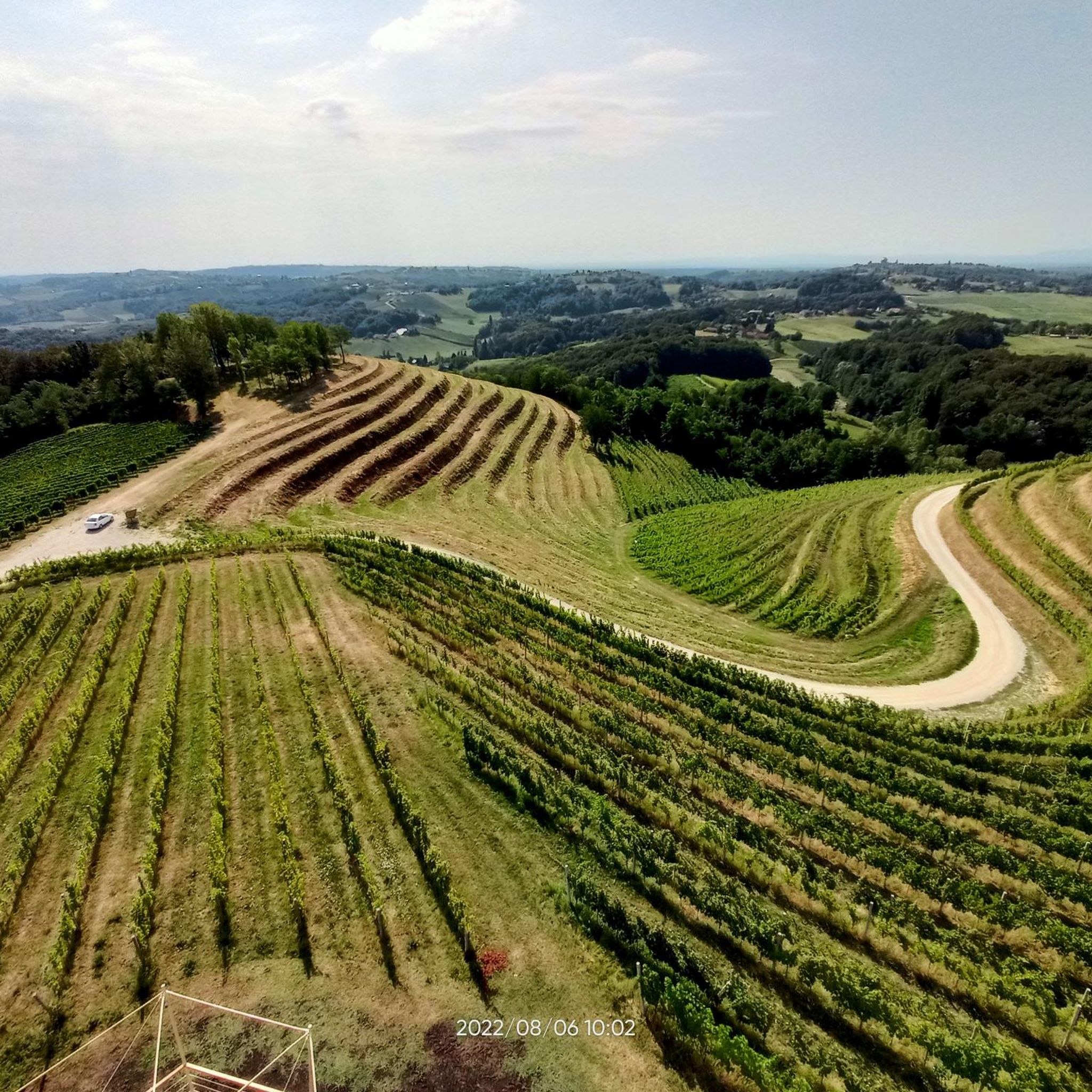
Ποδηλατικές διαδρομές Općina Sveti Martin na Muri
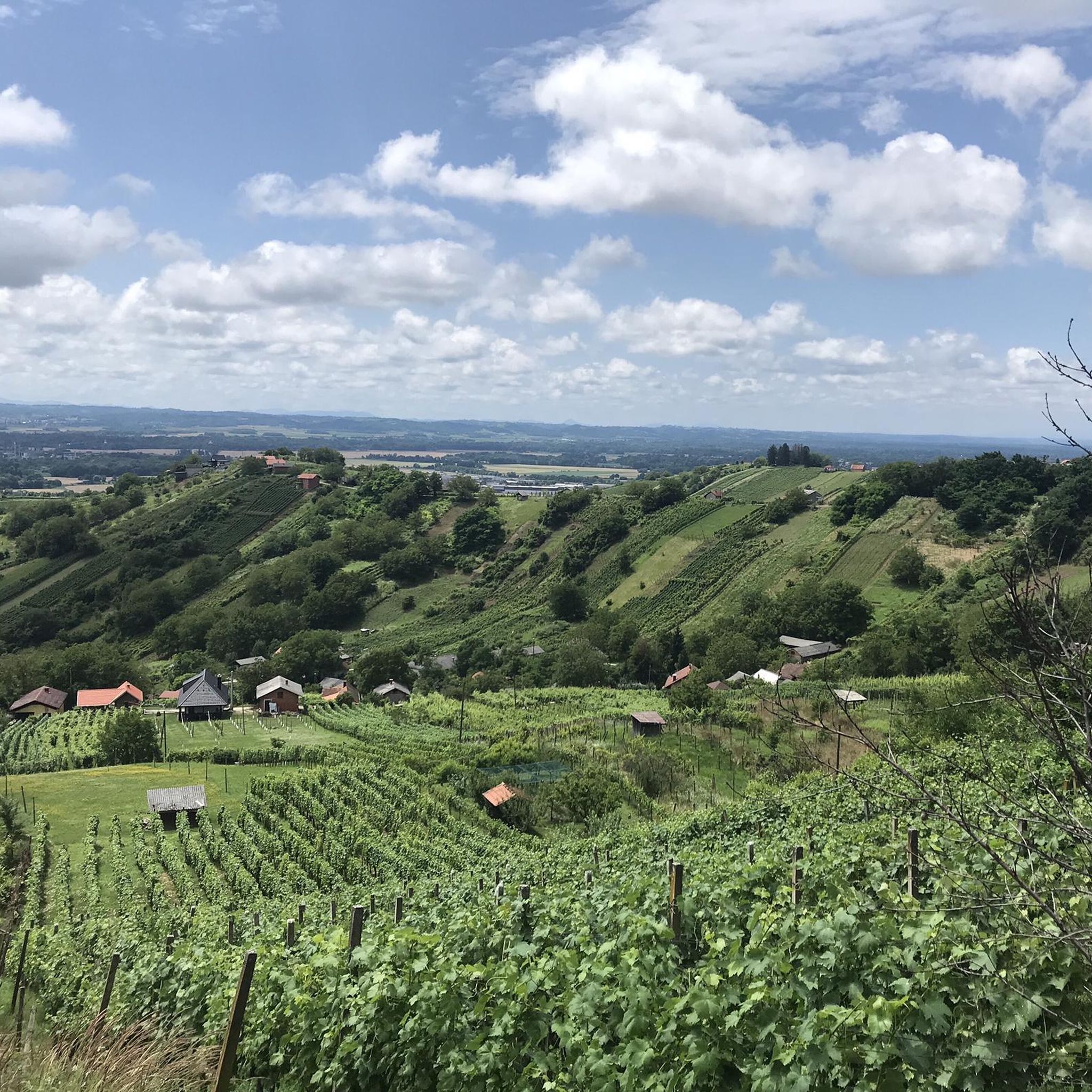
Ποδηλατικές διαδρομές Općina Vratišinec
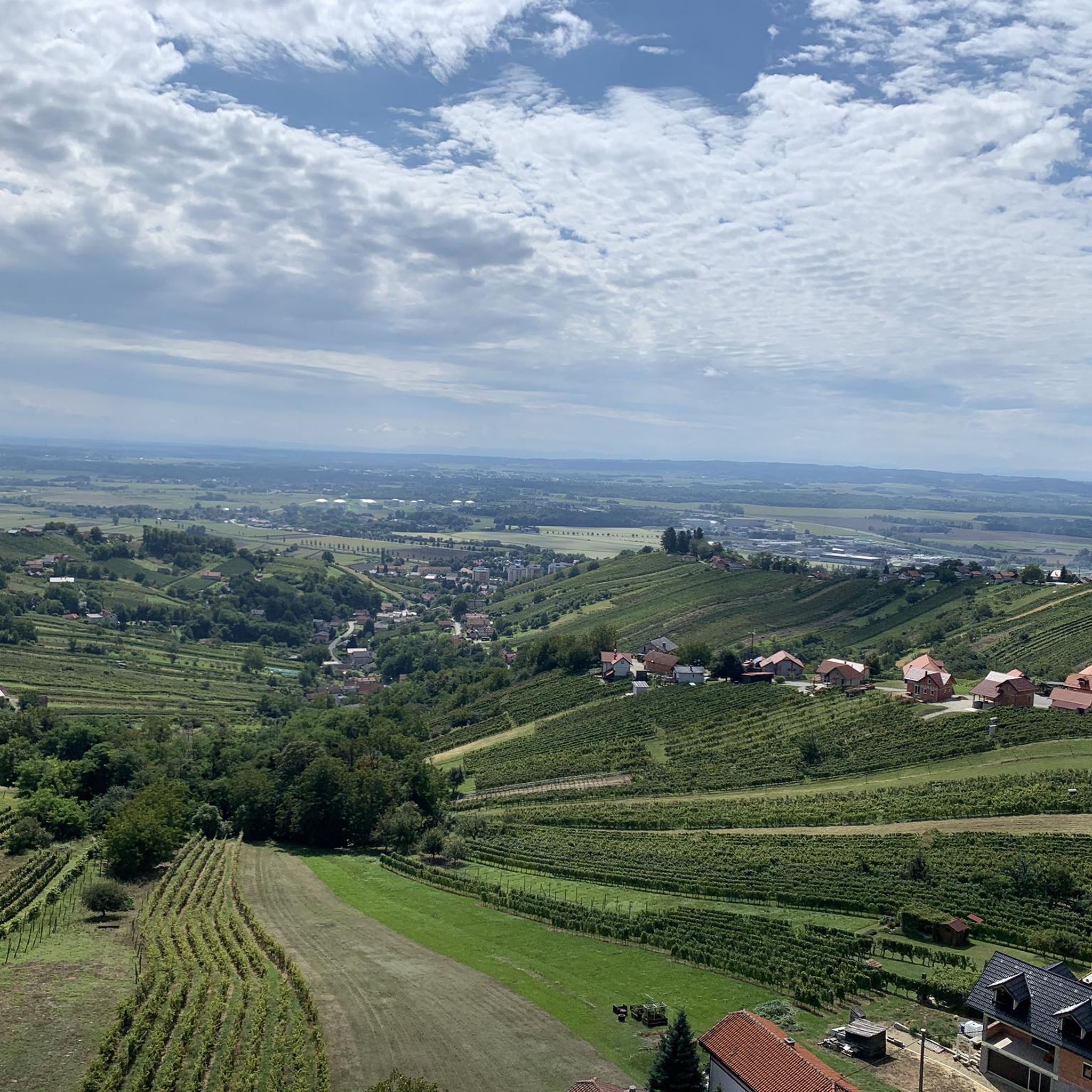
Ποδηλατικές διαδρομές Općina Podturen
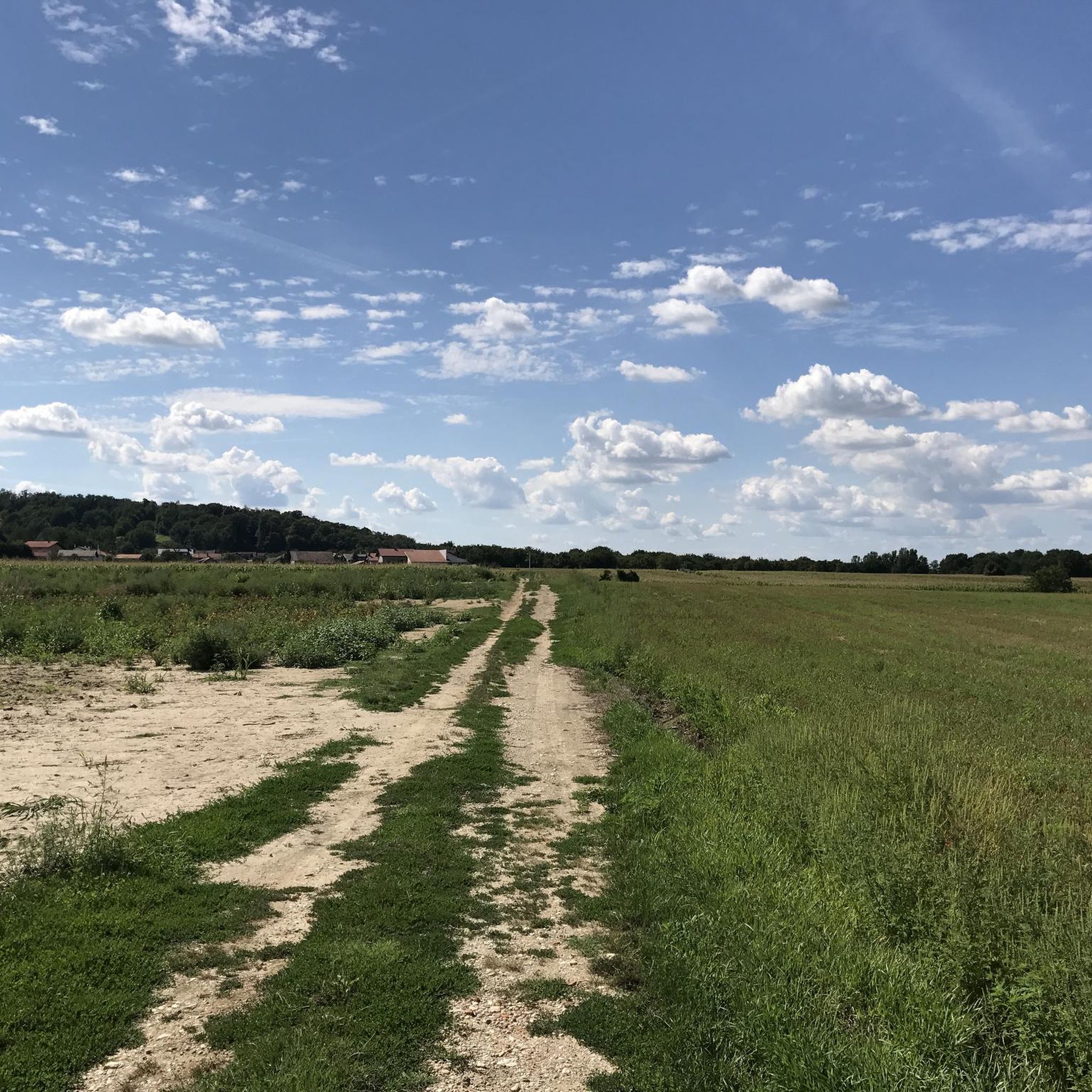
Ποδηλατικές διαδρομές Općina Selnica
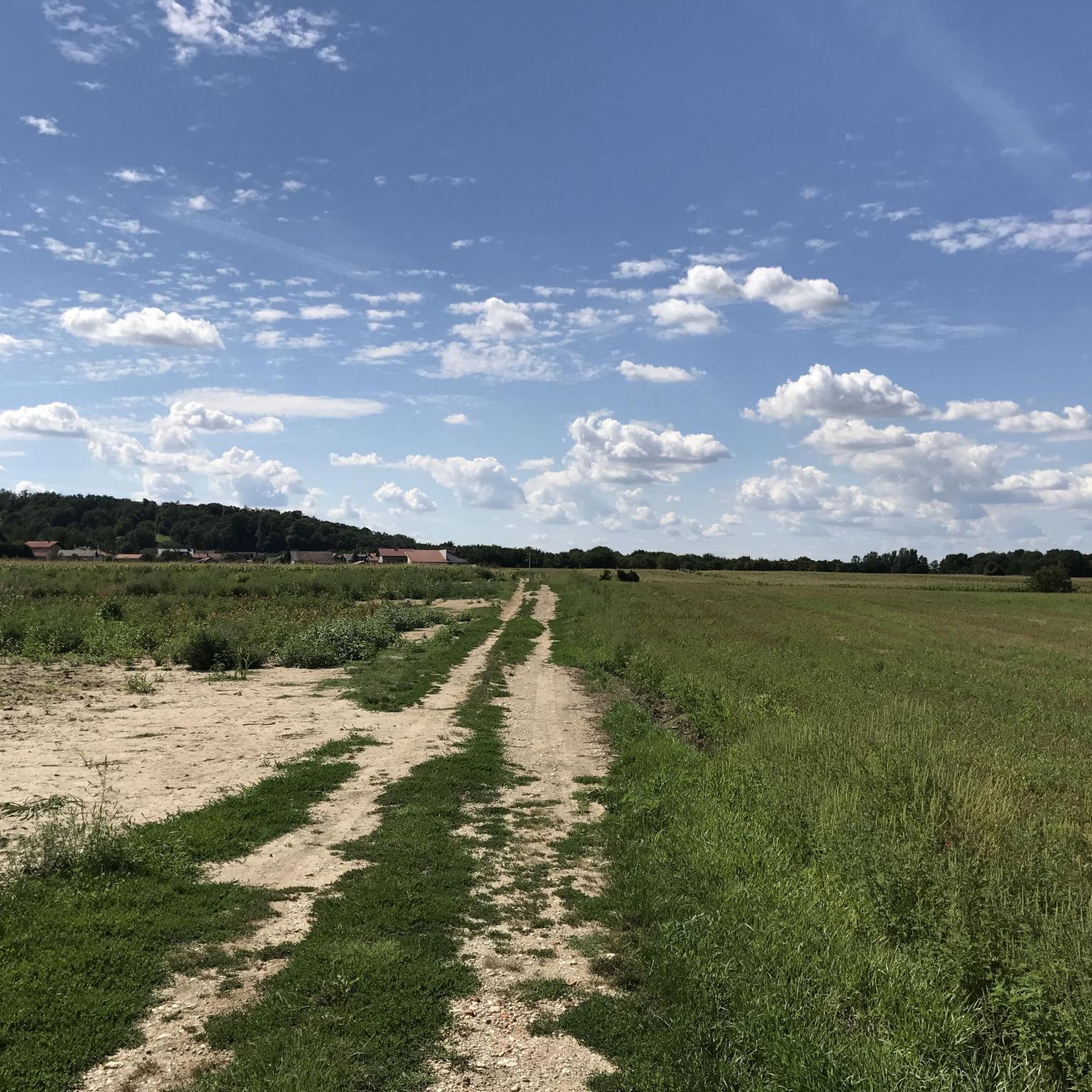
Ποδηλατικές διαδρομές Grad Mursko Središće
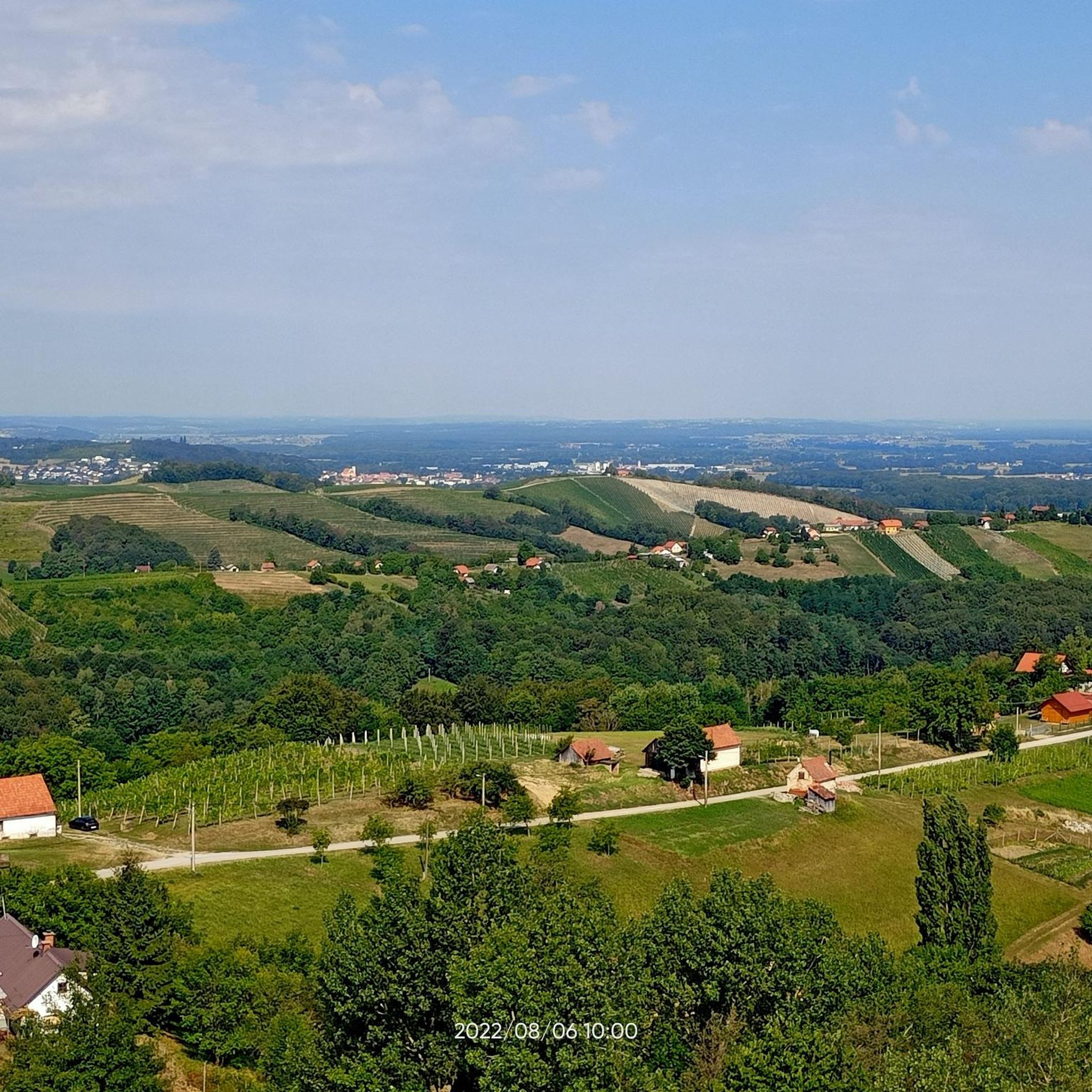
Ποδηλατικές διαδρομές Općina Štrigova
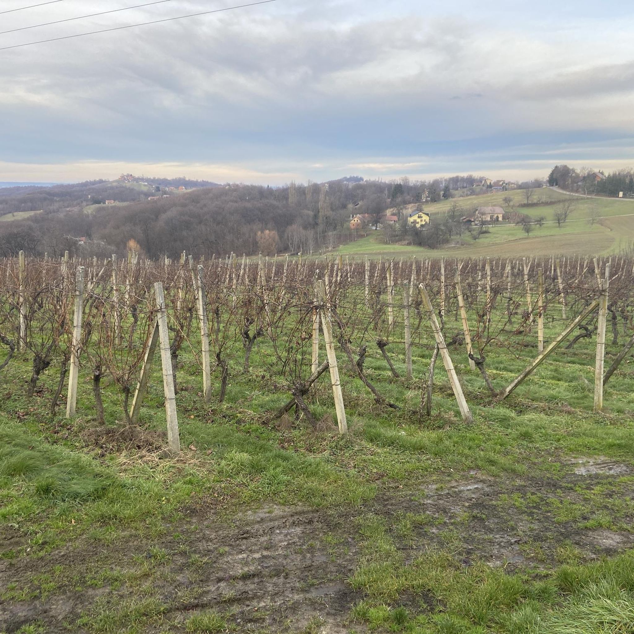
Ποδηλατικές διαδρομές Gornji Mihaljevec
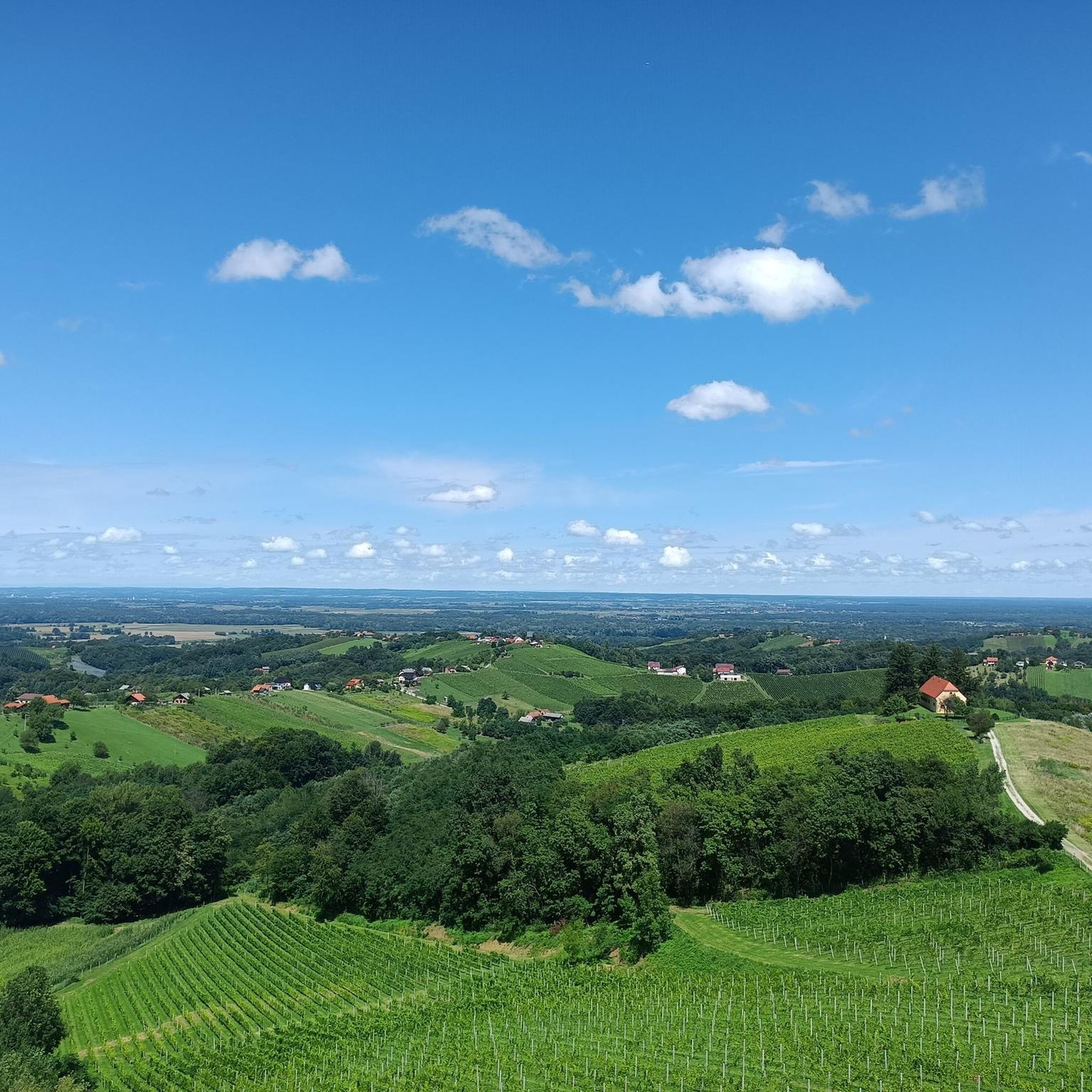
Ποδηλατικές διαδρομές Sveti Juraj Na Bregu

Ποδηλατικές διαδρομές Općina Belica
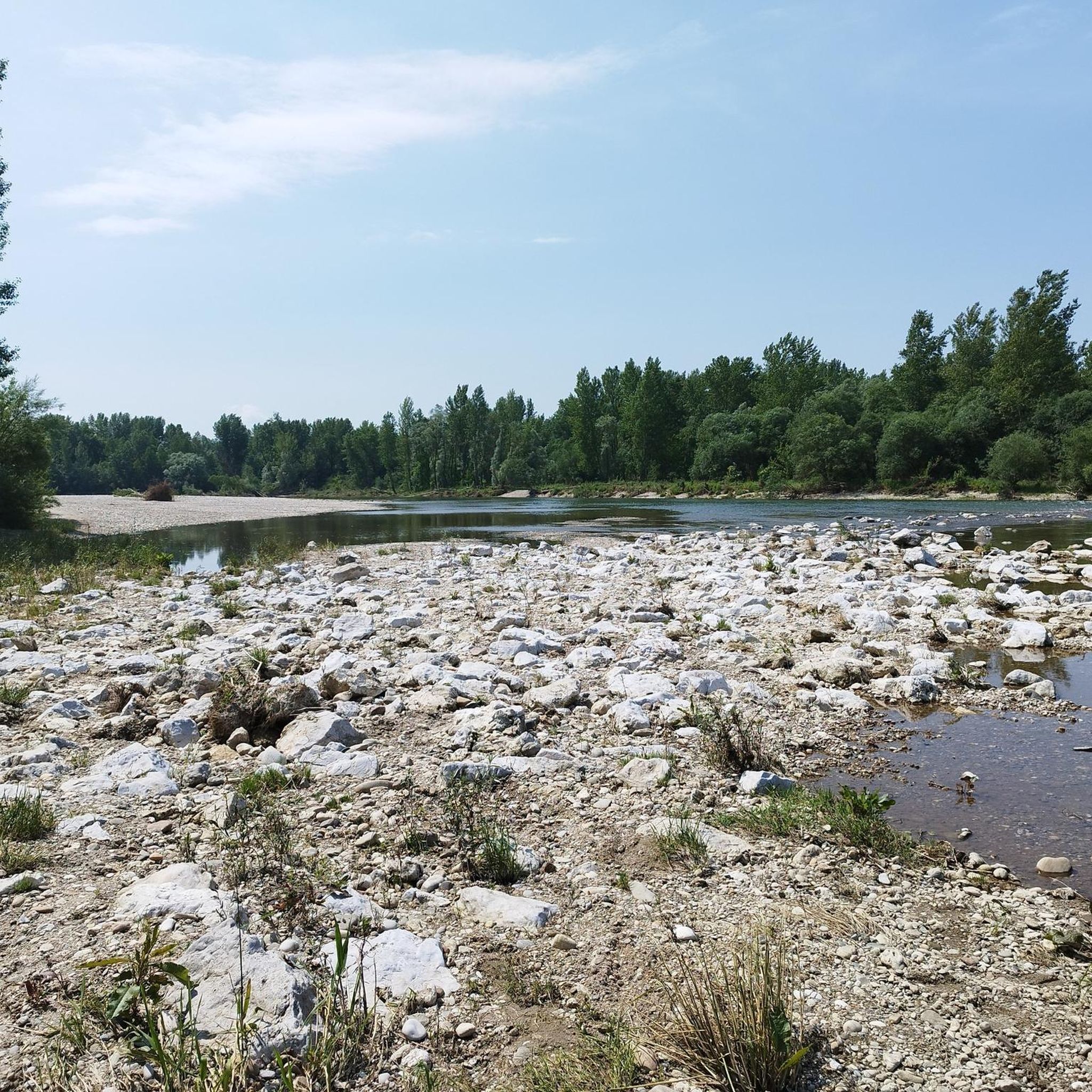
Ποδηλατικές διαδρομές Strahoninec
Συμβουλές από την κοινότητα

This proud church in the former Stridau (now Štrigova in Croatia) stands majestically above the town and is visible from afar.
0
0

The Mura is a very wide river in Mursko Središće. What's immediately noticeable is that the community has adapted to the river. A beautiful bay was built on the right bank of the Mur, and a very inviting restaurant area was created in this area. It's inviting.
0
0

Reached via a narrow path
0
0

The most important economic sector today is industry. The textile industry (Modeks, MTČ), trade, and gastronomy (18 restaurants in M.S.) are the most developed; only a few people are still engaged in agriculture. The town houses the tax office, a post office, a branch of the Međimurje Bank, an INA gas station, a clinic, a veterinary clinic, a city library, and one of the largest elementary schools in the region.
1
0
The beginning of the 19th century was very important for the development of the town, as the railway line was built in 1889, followed by the first road between Čakovec and Lendava. Since 1850, the residents of Selnica and Peklenica were engaged in oil drilling, and after World War II, they began working in the coal mines. The first coal mine in Međimurje was called Hrastinka 1. From its establishment in 1925 until its closure in 1972, miners extracted 4,593,961 tons of coal from Hrastinka 1. At that time, the coal mines were the driving force behind the economic development of Mursko Središće.
1
0
Since 1638, Mursko Središće, along with Podturen, Čakovec, Prelog, Nedelišće, and Štrigova, has been one of the most important towns in Međimurje. The town is one of the oldest settlements. The present-day Church of St. Martin was first mentioned in 1334 under the name Sancti Martini in Zredysche. Historians claim that a settlement called Halicanum existed here during the times of the Old Roman Empire. This settlement played an important role as a stop on the Roman road from Poetovio (Ptuj) to Carnuntum (Petronell). Later, the settlement was known as Mura Zerdahel.
1
0
There it turns southwest and runs through almost uninhabited territory a few kilometers east, past the Carniolan Sneznik (Slovene: Snežnik, Italian: Monte Nevoso). Between the Croatian Rupa and the Slovenian Jelšane, the Croatian A7 motorway, coming from Rijeka, leads to the border. It continues on the Slovenian side via the Glavna cesta 6 to Ljubljana; on the Croatian side it is part of the European route E65. The Pivka–Rijeka railway line also crosses the border here. Just a little further west, the Slovenian Glavna cesta 7, coming from Trieste, crosses the border, forming an extension of the E65; in Croatia it continues via the Državna cesta D8 to the A7 motorway. The border continues through the Karst along the northern edge of the Ćićarija (Chichen Bottom) and turns south at the Podgorski Kras. Between Rakitovec (Slovenia) and Buzet (Italian: Pinguente) in Croatia, the Divača–Pula railway line leading to the Istrian peninsula crosses the border. From there, the border runs generally westward, in the westernmost section along the Dragonja River, and merges into the (disputed) Croatian-Slovenian maritime border at the Gulf of Piran.
1
0
It follows the Sava River for about 2 km to the southeast, then leaves it to the southwest and follows the Bregana River. In the Sava valley, it crosses the former Bratstvo i jedinstvo highway (now Avtocesta A2 in Slovenia, Autocesta A3 in Croatia, and also European route E70). The border continues westward and then largely along the heights of the Uskok Mountains (Croatian: Žumberak, Slovene: Gorjanci), but leaves these north of the Novo mesto (German: Rudolfswerth) – Metlika road in Bela krajina, although the border line north of Metlika is extremely complicated (see map on the right). Via the Kamenica Stream, the border then reaches the Kupa River (Slovene: Kolpa), which it follows upstream for about 100 km and which forms the historical border between Carniola and Croatia (and thus part of the border of the Holy Roman Empire). Near Jurovski Brod, the Croatian Državna cesta D6, coming from Karlovac and continuing on the Slovenian side as Glavna cesta 105, crosses the Kupa and thus the border. At the latitude of Karlovac, its course abandons its predominantly north-south direction and follows the river in an east-west direction. The Karlovac–Ljubljana railway line also crosses this area. Near Vinica (in Slovenia), there is a small border crossing, not far from the Croatian A1 motorway. The next border crossing is to the west at the Slovenian Glavna cesta 106 between the Slovenian Kočevje, the center of the former German-speaking island of Gottschee, and the Croatian Delnice. The border follows the Kupa further upstream in a northwesterly direction to the confluence of the Čabranka, along which it continues to run northwest, and has a bulge to the northeast east of Babno Pole (with border crossing).
1
0
Οι πιο δημοφιλείς διαδρομές στο Μετζιμούριε
Τα πιο δημοφιλή αξιοθέατα στο Μετζιμούριε

Εμπνεύσου με την εφαρμογή komoot για κινητά


Δεν βρήκες αυτό που ψάχνεις;
Δες περισσότερα Διαδρομές ποδηλασίας σε όλη την περιοχή Μετζιμούριε παρακάτω και βρες την τέλεια διαδρομή στον προορισμό σου.
Ανακάλυψε περισσότερα
Περιηγήσου τα καλύτερα Διαδρομές ποδηλασίας σε άλλες περιοχές.
