Τα 20 καλύτερα φυσικά μνημεία Adnet
Το τοπίο της περιοχής Adnet είναι ένα υπέροχο μέρος για εξερεύνηση — κάτι που μπορείτε να βιώσετε καλύτερα επισκεπτόμενοι ένα από τα 20
πανέμορφα φυσικά μνημεία Adnet. Για να βρείτε αυτό που σας ταιριάζει, δείτε όλες τις λεπτομέρειες που χρειάζεστε και σχεδιάστε καλύτερα την επόμενη υπαίθρια περιπέτειά σας!
Τελευταία ενημέρωση: 21 Νοεμβρίου 2026
Almbach Gorge (Almbachklamm)
Highlight (Segment) • Φαράγγι
Μετάφραση από Google •
Συμβουλή από

Sulzer Waterfall in Almbachklamm
Highlight • Καταρράκτης
Μετάφραση από Google •
Συμβουλή από

Εγγράψου τώρα για να ανακαλύψεις μέρη σαν αυτό
Λάβε προτάσεις για τα καλύτερα single tracks, κορυφές και πολλά ακόμα συναρπαστικά υπαίθρια μέρη.
Salzburger Hochthron
Highlight • Κορυφή
Μετάφραση από Google •
Συμβουλή από
Gollinger Wasserfall
Highlight • Καταρράκτης
Entry only possible with cash payment!
€ 5.00 for adults
€ 4.00 for adults with Tennengau+ Card
€ 3.00 for children (6 …
Μετάφραση από Google •
Συμβουλή από

Nockstein Summit
Highlight • Κορυφή
Μετάφραση από Google •
Συμβουλή από

Εγγράψου δωρεάν για να ανακαλύψεις ακόμα περισσότερα φυσικά μνημεία Adnet.
Έχεις ήδη λογαριασμό;
Ξεκίνα σήμερα με έναν δωρεάν λογαριασμό
Η επόμενη περιπέτειά σου σε περιμένει.
Συμβουλές από την κοινότητα


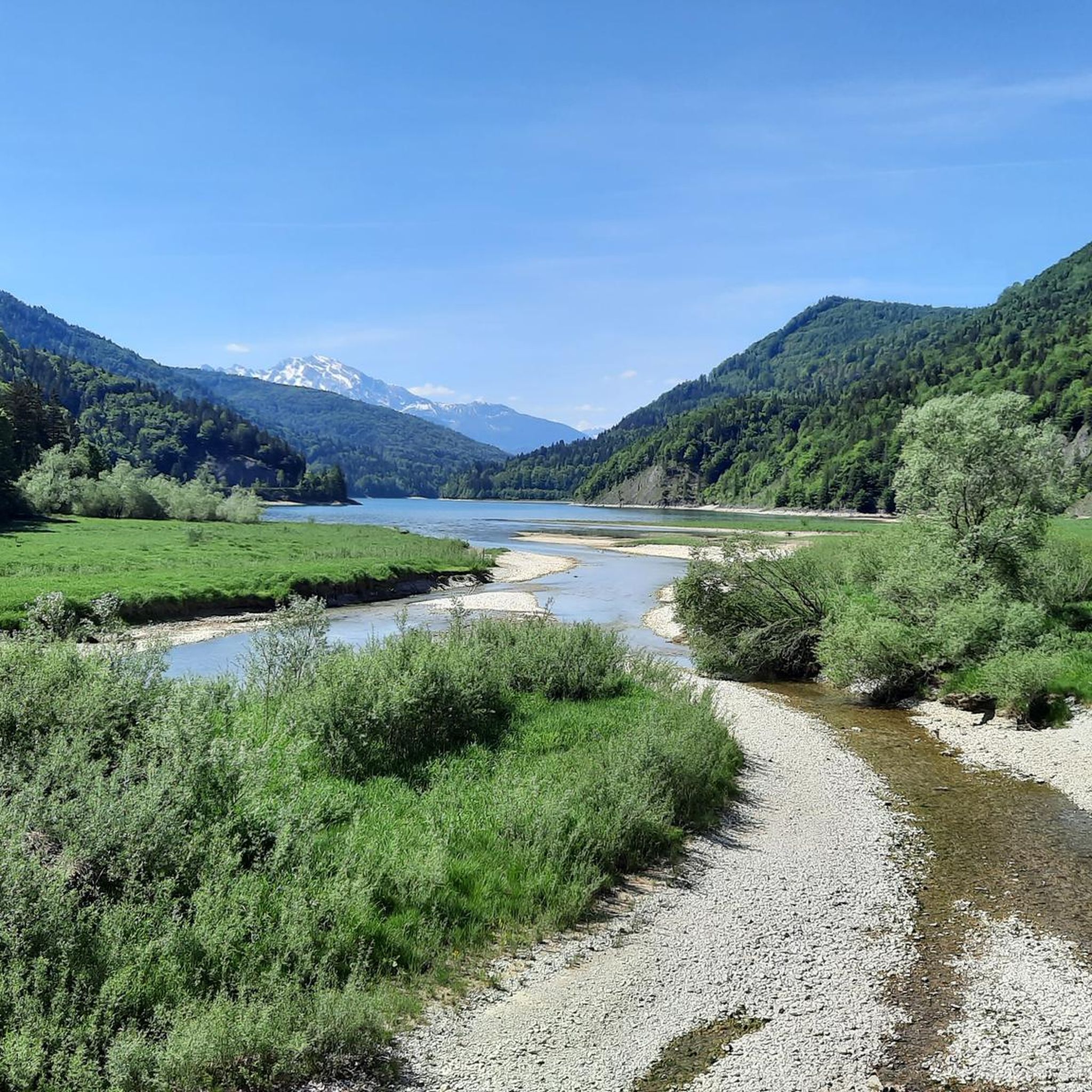
The path leads over 29 footbridges and bridges and several stone stairs through the wild Almbachklamm near Marktschellenberg. Even a tunnel is crossed. At the foot of the Untersberg, the Almbach has formed a deep gorge in the terrain. The path through the Almbachklamm is three kilometers long. Trees line your path, the bubbling and roaring torrent flows next to you. Right at the entrance to the gorge you can visit the oldest marble ball mill in Germany. An adventure for the whole family – even in summer. The Almbachklamm is usually open from the beginning of May to the end of October. However, there may be changes due to weather conditions (it's best to check on the website before starting your tour). The starting point is the free Almbachklamm car park on Kugelmühlweg in Marktschellenberg. If you come by public transport, you can use bus lines 836 and 840. Further information is available at https://www.berchtesgaden.de/almbachklamm.
5
5

A visit is always worthwhile
9
1

A natural spectacle of the extra class, you can experience the unleashed power of the water.
8
0

At 1852 m, the Salzburger Hochthron is the second highest peak in the Untersberg massif in the Berchtesgaden Alps after the Berchtesgadener Hochthron. The summit of the Salzburger Hochthron is located on the border between the municipality of Grödig in the state of Salzburg, Austria and the unincorporated area of Schellenberger Forst in Bavaria, Germany. Around 500 meters north of the summit is the mountain station of the Untersbergbahn at Geiereck (1805 m). In addition to the short ascent from the Untersbergbahn, several marked trails lead to the summit of the Salzburg Hochthron, which require sure-footedness and good physical condition: - from Marktschellenberg via the Toni-Lenz-Hütte (access to the Schellenberger ice cave) and the Thomas-Eder-Steig via the Mittagscharte - from Glanegg near Grödig via the Dopplersteig and the Zeppezauerhaus - from Glanegg via the Reitsteig and the Zeppezauerhaus - from Stöhrhaus via Berchtesgadener Hochthron, Mittagscharte and Untersbergplateau https://de.m.wikipedia.org
4
0

It is worth visiting the waterfall. Currently it is 5 euros entry per adult. However, the path is not a circular route and you have to walk back again if you don't want to climb up the small Göll.
7
0
Very nice little climb with a generous summit plateau and a few benches in each direction. From here it goes e.g. B. further to the Stöhrhaus or Berchtesgadener Hochthron..... Very nice view with desire for more 😕
4
0

Short but beautiful tour with a wonderful view of the city of Salzburg and the Flachgau. Recommended but only during the week if you like it a little quieter
1
0
Τα πιο δημοφιλή αξιοθέατα Adnet

Εμπνεύσου με την εφαρμογή komoot για κινητά


Ανακάλυψε περισσότερα
Επέκτεινε την αναζήτησή σου για τις καλύτερες σπηλιές βλέποντας αυτούς τους οδηγούς με τα κορυφαία Adnet:
