Τα 14 καλύτερα φυσικά μνημεία Sheet
Το τοπίο της περιοχής Sheet είναι ένα υπέροχο μέρος για εξερεύνηση — κάτι που μπορείτε να βιώσετε καλύτερα επισκεπτόμενοι ένα από τα 14
πανέμορφα φυσικά μνημεία Sheet. Για να βρείτε αυτό που σας ταιριάζει, δείτε όλες τις λεπτομέρειες που χρειάζεστε και σχεδιάστε καλύτερα την επόμενη υπαίθρια περιπέτειά σας!
Τελευταία ενημέρωση: 16 Οκτωβρίου 2026
Butser Hill
Highlight • Φυσικό μνημείο
Συμβουλή από

Harting Down
Highlight • Φυσικό μνημείο
Συμβουλή από
Εγγράψου τώρα για να ανακαλύψεις μέρη σαν αυτό
Λάβε προτάσεις για τα καλύτερα single tracks, κορυφές και πολλά ακόμα συναρπαστικά υπαίθρια μέρη.
Torberry Hill Iron Age Hillfort
Highlight • Ιστορικός χώρος
Συμβουλή από

Grandfather's Bottom
Highlight • Σημείο θέας
Συμβουλή από

Durford Heath
Highlight • Φυσικό μνημείο
Συμβουλή από
Εγγράψου δωρεάν για να ανακαλύψεις ακόμα περισσότερα φυσικά μνημεία Sheet.
Έχεις ήδη λογαριασμό;
Ξεκίνα σήμερα με έναν δωρεάν λογαριασμό
Η επόμενη περιπέτειά σου σε περιμένει.
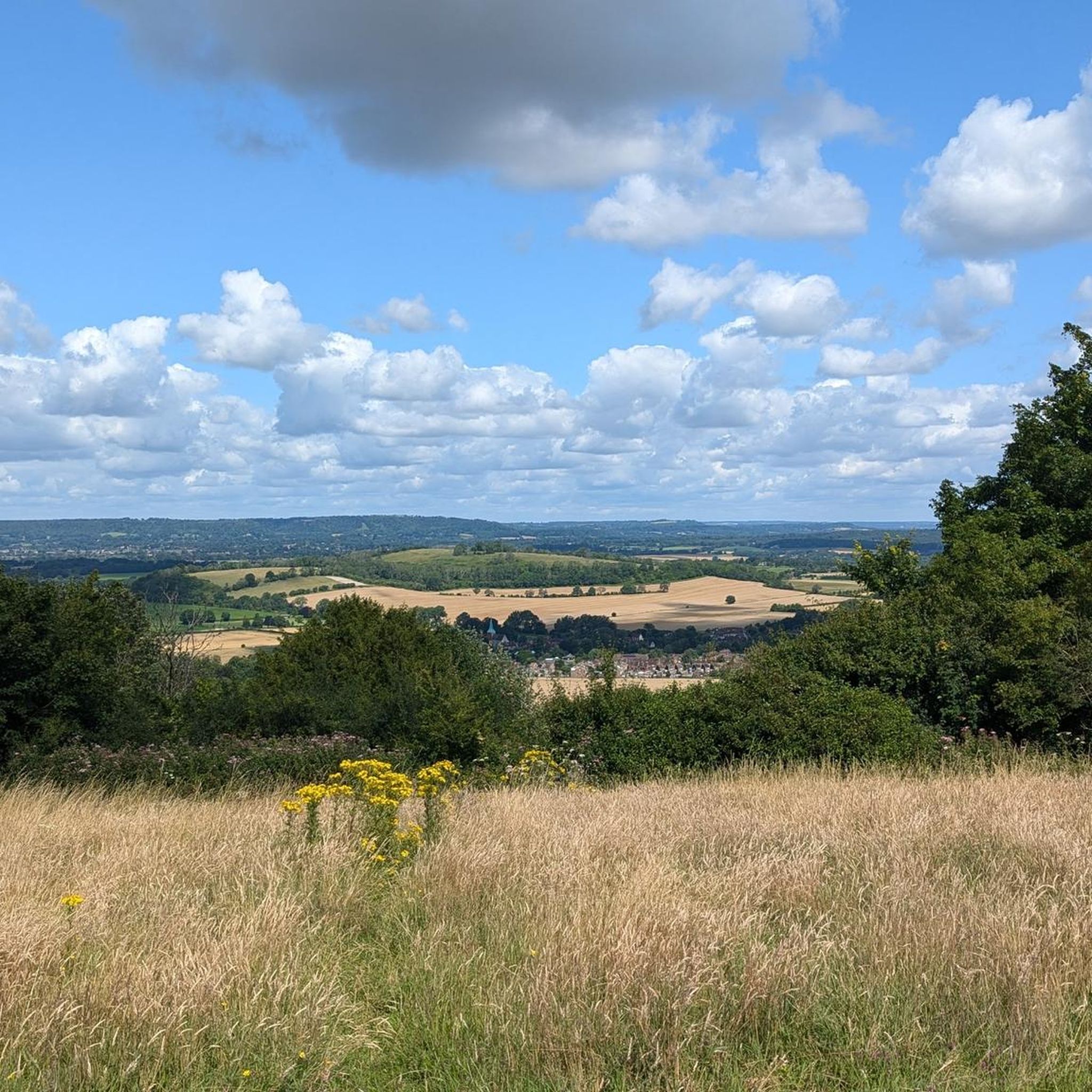
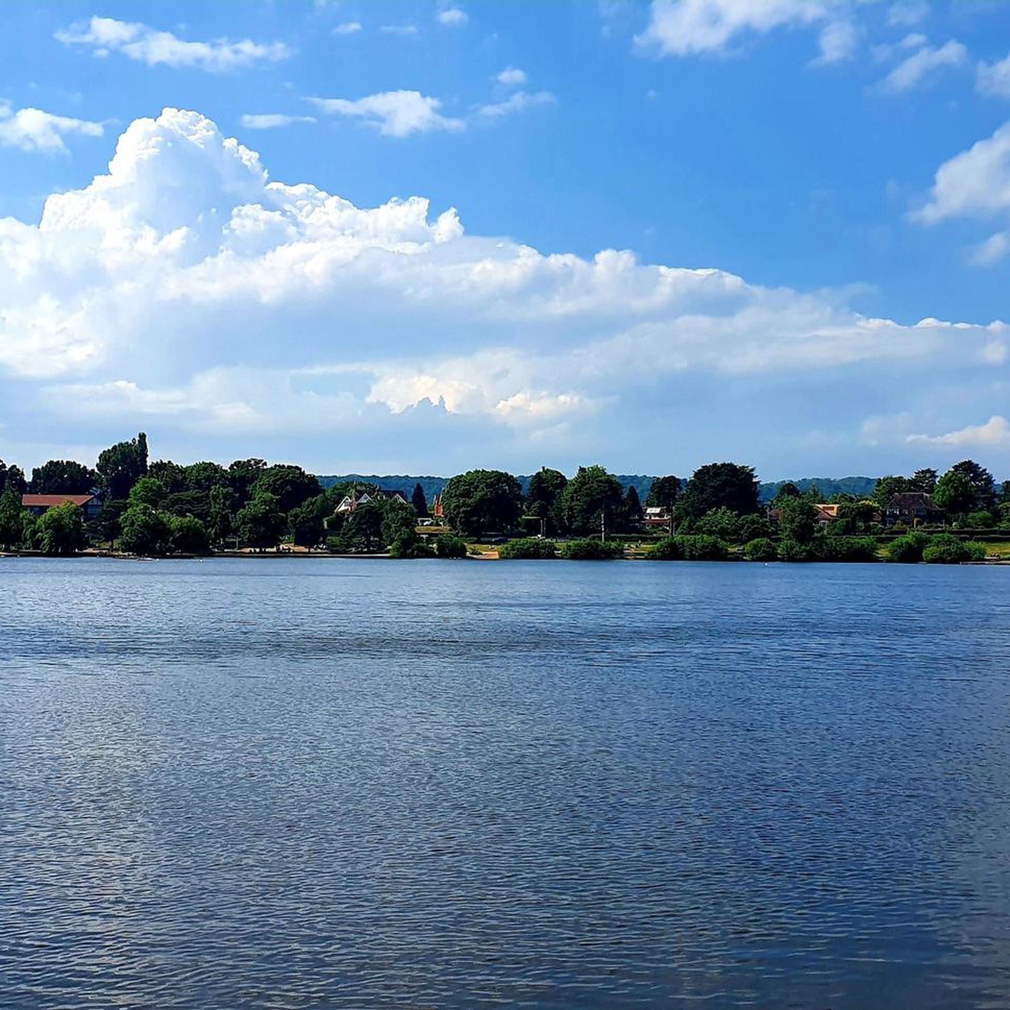


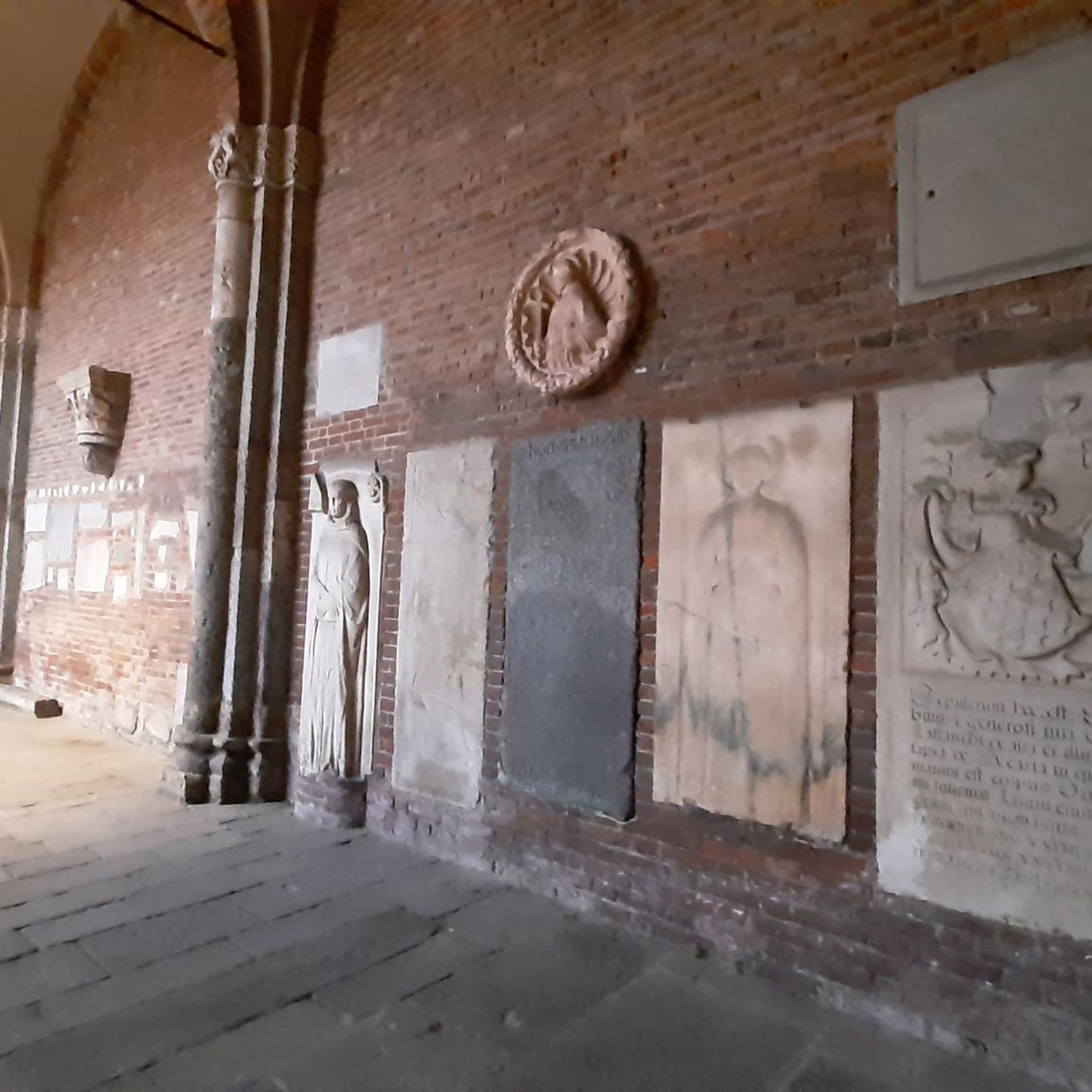
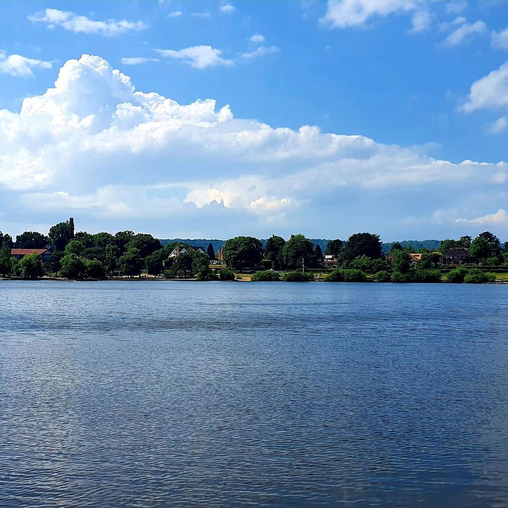
Συμβουλές από την κοινότητα

Great views of this ‘crease’ in the hill. Lots of wildlife on view here, with its natural steep sides, birds of prey are often circling and hoovering. Grazing livestock are also common here.
0
0

Head south from Harting down to join bridle path heading South down to Centurion way and thence to Chichester railway station, 11 miles. Mainly a descent, Just one climb and then the joy of the recently upgraded cycle path the last 5 miles to Chichester. Winchester railway station to Chichester railway station 44 miles.
0
0

Really lovely second part to the walk. The climb up is straightforward but quite taxing and steep in places. Difficult if you have knee problems etc
0
0

The glorious woodland of Durford Heath was actually heathland, as the name suggests, until 150 years ago and some patches of heather are still evident. Then it was planted with oaks and coppiced regularly to provide charcoal for the iron industry. This area is now managed by the National Trust which, to maintain a variety of wildlife, has provided glades, wide tracks and clearings. We can now enjoy some glorious, light and sunny, mixed woodland, including some of the best examples of sessile oak in the south-east.
0
0

Torberry Hill is an Iron Age hillfort in West Sussex. It is a Scheduled Ancient Monument. The hillfort is located within the parish of Harting, within the South Downs National Park. The hillfort has a pear-shaped layout and covers an area of 2.8 hectares. It has a low dump rampart and a ditch that enclose the western part of the hill. The eastern part is defended by the steep slope of the hill. The interior of the hillfort contains several storage pits that date to the Iron Age. The hillfort was built in several phases, starting from the 5th century BC. Torberry Hill is also a mountain summit that is 156 metres high with a prominence of 65 metres. The summit can be identified by a grass mound. There are several walks that can be done around Torberry Hill, such as the one to West Harting Down or Beacon Hill.
3
0

150m high hill just off the line of the South Downs, known for the Iron Age hillfort at the summit.
1
0
Beautiful little valley bowl on the way up to Butser Hill. Stunning quintessential English countryside at its best!
2
0
Lovely little winter afternoon amble up from the main NT car park to the mast, trig point, around the bowl and back to the car park. It is a UK listed Marilyn.
3
1
Τα πιο δημοφιλή αξιοθέατα Sheet

Εμπνεύσου με την εφαρμογή komoot για κινητά


Ανακάλυψε περισσότερα
Επέκτεινε την αναζήτησή σου για τις καλύτερες σπηλιές βλέποντας αυτούς τους οδηγούς με τα κορυφαία Sheet:
