Οι 20 πιο εκπληκτικές κορυφές Μαυροβούνιο
Είτε για τη θέα είτε για την πρόκληση, η ανάβαση στις ορεινές κορυφές Μαυροβούνιο είναι ο καλύτερος τρόπος να βιώσετε περισσότερα από αυτή την όμορφη περιοχή. Αλλά με 20
να επιλέξετε, μπορεί να είναι δύσκολο να αποφασίσετε. Γι'αυτό συγκεντρώσαμε τις καλύτερες κορυφές Μαυροβούνιο για εσάς εδώ — ώστε να μπορείτε εύκολα να προσθέσετε μία στην επόμενη περιπέτειά σας.
Τελευταία ενημέρωση: 2 Σεπτεμβρίου 2026
Njegoš Mausoleum on Mount Lovćen
Highlight • Μνημείο
Μετάφραση από Google •
Συμβουλή από

Via Ferrata to Bobotov Kuk Summit
Highlight • Αναρρίχηση
Μετάφραση από Google •
Συμβουλή από

Εγγράψου τώρα για να ανακαλύψεις μέρη σαν αυτό
Λάβε προτάσεις για τα καλύτερα single tracks, κορυφές και πολλά ακόμα συναρπαστικά υπαίθρια μέρη.
Εγγραφή δωρεάν
Prutaš Peak
Highlight • Κορυφή
Μετάφραση από Google •
Συμβουλή από

Popadija Peak
Highlight • Κορυφή
Μετάφραση από Google •
Συμβουλή από

Crvena Greda Ridge, Durmitor National Park
Highlight • Κορυφή
Συμβουλή από

View of Tara Gorge and Durmitor Massif from Ćurevac
Highlight • Σημείο θέας
We hiked with a dog …
Συμβουλή από

Rumija Summit and Chapel
Highlight • Κορυφή
Μετάφραση από Google •
Συμβουλή από

Bora Summit (2106 m)
Highlight • Κορυφή
Μετάφραση από Google •
Συμβουλή από

Lovćen Mountain Climb
Highlight • Αναρρίχηση
Συμβουλή από

Zla Kolata (2,534 m)
Highlight • Κορυφή
Μετάφραση από Google •
Συμβουλή από

Εγγράψου δωρεάν για να ανακαλύψεις ακόμα περισσότερες κορυφές στο Μαυροβούνιο.
Εγγραφή δωρεάν
Έχεις ήδη λογαριασμό;
Ξεκίνα σήμερα με έναν δωρεάν λογαριασμό
Η επόμενη περιπέτειά σου σε περιμένει.
Σύνδεση ή εγγραφή
Δημοφιλή γύρω από Μαυροβούνιο
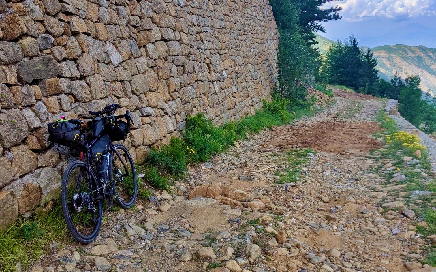
Traversing the Dinaric Alps — bikepacking from the mountains to the sea
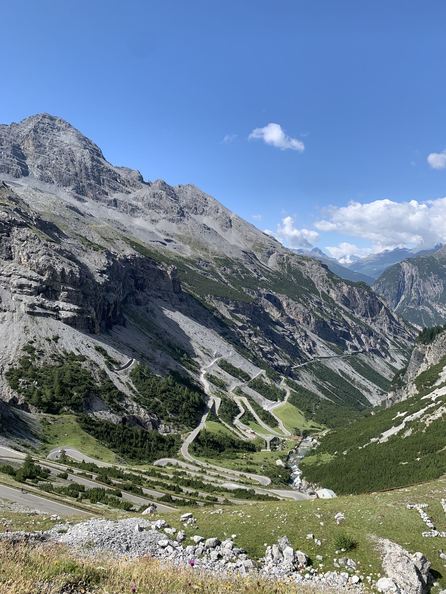
Transcontinental Race No9 2023
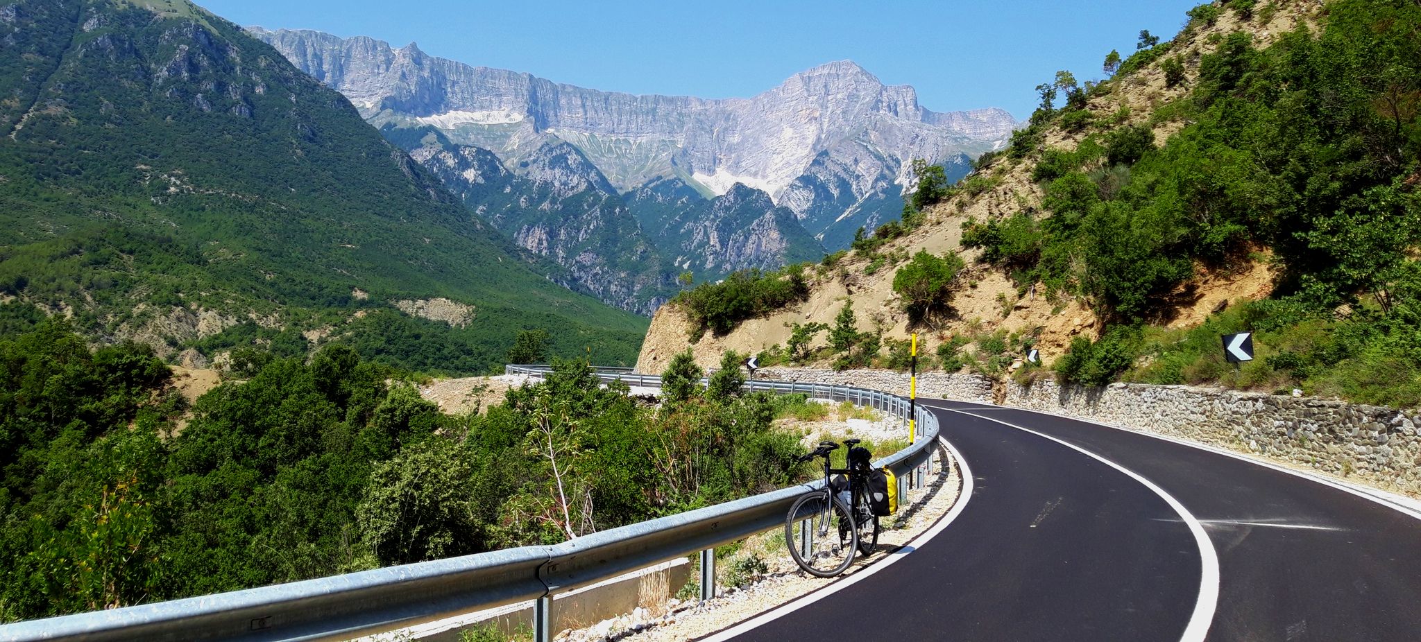
Balkan cycling adventure – Dubrovnik to Corfu
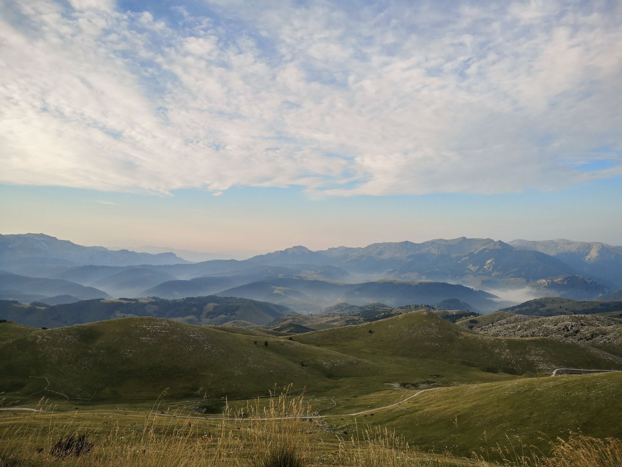
As we wrote history – the Transcontinental Race #TCRN06
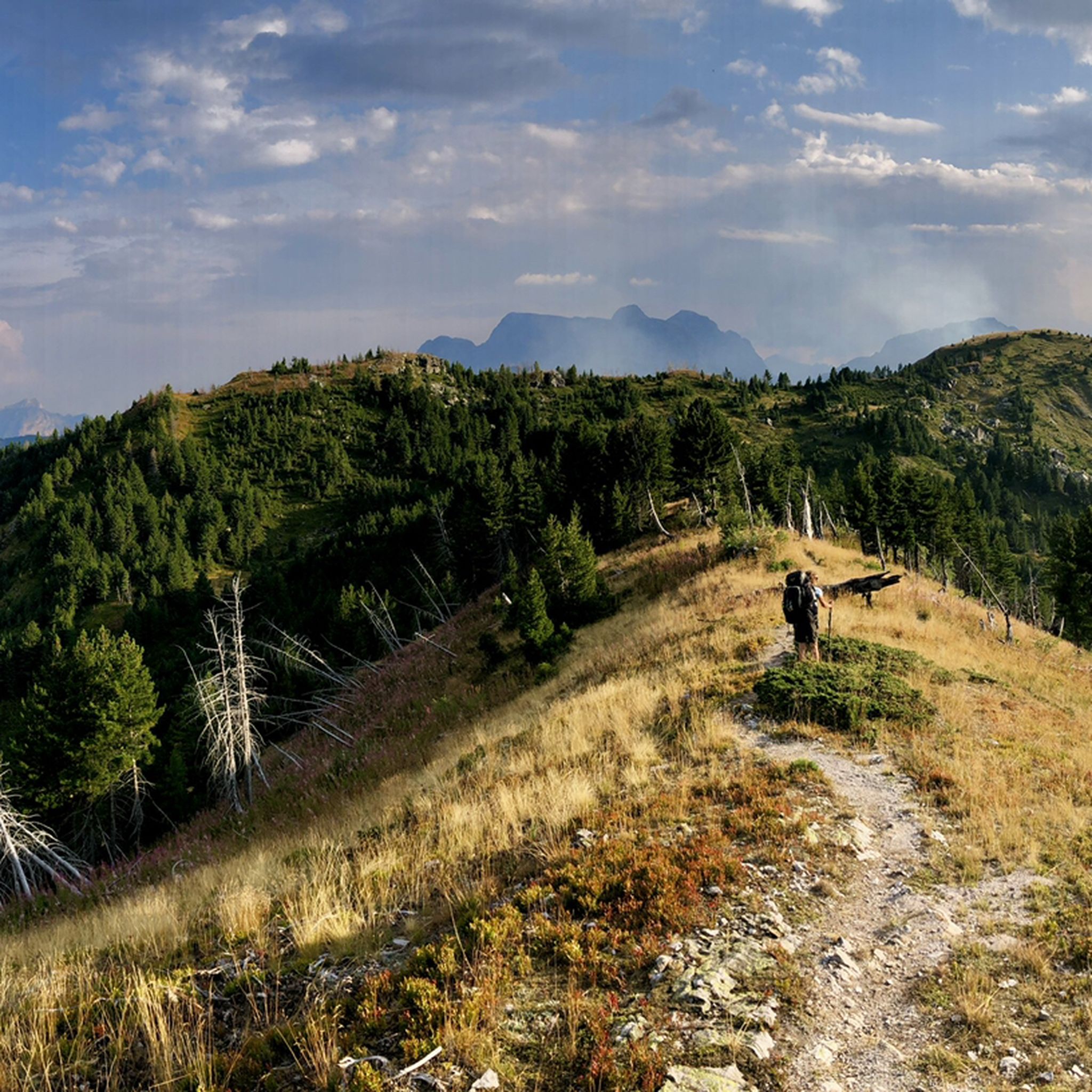
Πεζοπορία Μαυροβούνιο
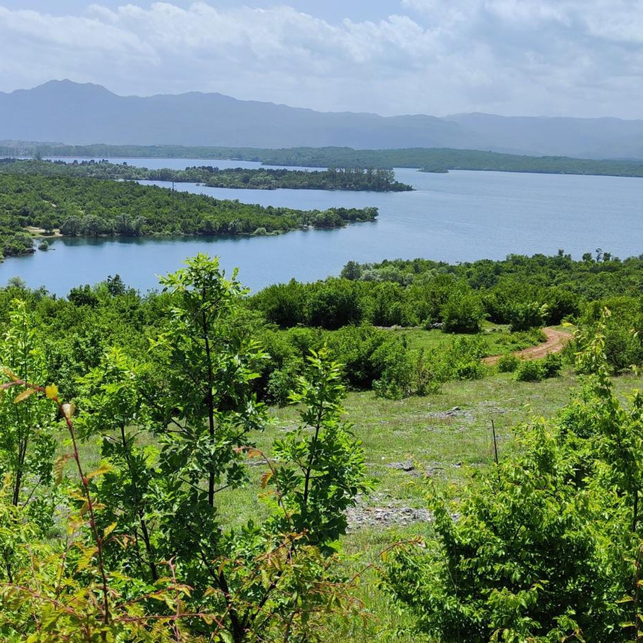
Ποδηλατικές διαδρομές Μαυροβούνιο
Διαδρομές ποδηλασίας Μαυροβούνιο
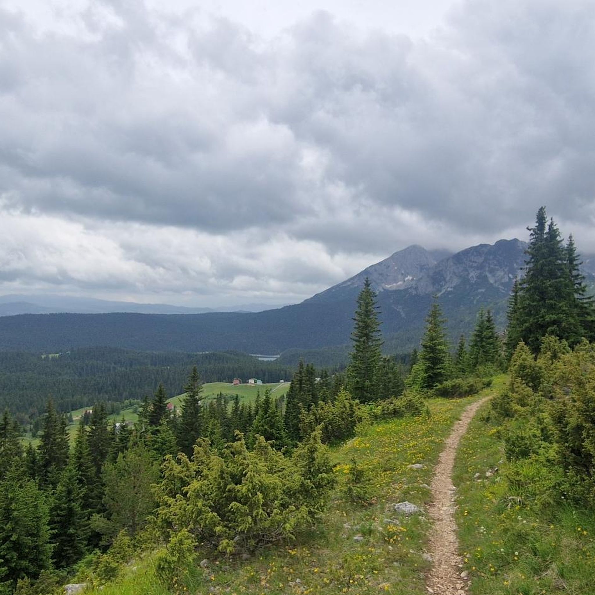
Διαδρομές τρεξίματος Μαυροβούνιο
MTB μονοπάτια Μαυροβούνιο

Ορειβασία Μαυροβούνιο
Άλλες περιπέτειες στο Μαυροβούνιο


Συμβουλές από την κοινότητα

Καταπληκτική θέα από την κορυφή! Ωστόσο, η διαδρομή από το Todorov Do στη δυτική πλευρά είναι σίγουρα δύσκολη, με πολύ απότομα, στενά τμήματα και απότομες πτώσεις. Ορισμένα μέρη απαιτούν εμπειρία αναρρίχησης, και η κατάβαση από εδώ δεν φαίνεται εφικτή. Η διαδρομή από το Dobri Do προς τα νότια φαίνεται πολύ καλύτερη επιλογή τόσο για την ανάβαση όσο και για την κατάβαση. Η διαδρομή Todorov Do θα πρέπει σίγουρα να χαρακτηριστεί ως δύσκολη, όχι μέτρια.
3
0

The accompanying page in the ARD media library for the television series "Treasures of the World – Heritage of Humanity" states: Rugged peaks marked by glaciers and karst formation, high alpine pastures, and primeval forests characterize a mountain landscape in the far north of the Republic of Montenegro: the Durmitor Massif. Nestled in the mountains are glacial lakes and karst gorges, springs and streams, and rivers roar in wild, inaccessible valleys. The name Durmitor likely originates from the Celtic language and means "Mountains of Many Waters." Interested viewers can access the corresponding film via the following link (duration: 15 minutes / language: German) =>> https://www.ardmediathek.de/video/schaetze-der-welt/nationalpark-durmitor-montenegro-folge-367/3sat/Y3JpZDovL3N3ci5kZS82NjM0ODA4
0
0

Not a steep summit, but a rounded knoll at the end of a grassy ridge, yet offering the most beautiful view of the peaks of the Prokletije Mountains! In the center: Kollata (2552 m).
0
0
We just completed this hike in early June. The ascent (via Todorov Do) is very technical and challenging for inexperienced hikers (30/40 degree slope, rocky and unstable terrain, some climbing, etc.). The descent (which is actually the ascent to the summit of the other side, which is another hike - a loop with a lake viewpoint, starting from the Dobri Do parking lot) is much simpler. Note that the end of the hike in the plain to return to the car is not at all signposted, the path is not easily visible, and the GPS track does not always match; you are mostly off-piste.
3
3

Beware of clouds and wind which greatly change the difficulty
0
0

The highest peak in Montenegro. When you're there, you can really enjoy the view and the nature. In my case, there weren't many people on the way and it was quiet. I don't find the route strenuous. Only the last hour requires a bit of climbing and walking on steep rocks. In wet weather, there are places that could be slippery and dangerous.
7
0
The ascent via Todorov do is difficult, scree then climbing passages follow one another before reaching the summit. We left the road which comes from Zabljak a few kilometers before this departure. It joins hill 2100, Prutaski do, and the path which goes up to Prutas. This route is much easier. On the other hand, we went down the path that leads to Todorov do. Very uneven route, but which is done with great attention and caution. Around 4h30 with breaks.
2
1
Definitely advise an 8am start from the car park if you wish to avoid traffic jams on the fixed cables at the top. Fixed cables themselves are ok and sections are not difficult, just a little exposed for people without experience.
2
4
Οι πιο δημοφιλείς διαδρομές στο Μαυροβούνιο
Τα πιο δημοφιλή αξιοθέατα στο Μαυροβούνιο

Εμπνεύσου με την εφαρμογή komoot για κινητά


Δεν βρήκες αυτό που ψάχνεις;
Ανακάλυψε τις καλύτερες κορυφές και summit του Μαυροβούνιο ανά περιοχή:
Ανακάλυψε περισσότερα
Δες ακόμα περισσότερες εκπληκτικές κορυφές στο Μαυροβούνιο με αυτούς τους οδηγούς:
