Οι 5 πιο εκπληκτικές κορυφές Μεξικό
Είτε για τη θέα είτε για την πρόκληση, η ανάβαση στις ορεινές κορυφές Μεξικό είναι ο καλύτερος τρόπος να βιώσετε περισσότερα από αυτή την όμορφη περιοχή. Αλλά με 5
να επιλέξετε, μπορεί να είναι δύσκολο να αποφασίσετε. Γι'αυτό συγκεντρώσαμε τις καλύτερες κορυφές Μεξικό για εσάς εδώ — ώστε να μπορείτε εύκολα να προσθέσετε μία στην επόμενη περιπέτειά σας.
Τελευταία ενημέρωση: 31 Ιουλίου 2026
Nevado de Toluca Summit
Highlight • Κορυφή
Συμβουλή από

Cerro Tláloc Summit and Archaeological Site
Highlight • Κορυφή
Συμβουλή από
Εγγράψου τώρα για να ανακαλύψεις μέρη σαν αυτό
Λάβε προτάσεις για τα καλύτερα single tracks, κορυφές και πολλά ακόμα συναρπαστικά υπαίθρια μέρη.
Εγγραφή δωρεάν
Descent from Pico del Fraile to Lake of the Sun (Nevado de Toluca)
Highlight (Segment) • Μονοπάτι
Συμβουλή από
Volcán Popocatépetl
Highlight • Ηφαίστειο
Μετάφραση από Google •
Συμβουλή από

Summit of Popocatépetl
Highlight • Κορυφή
Συμβουλή από

View of Valle de Bravo from Monte Alto Summit
Highlight • Σημείο θέας
Μετάφραση από Google •
Συμβουλή από

Ξεκίνα σήμερα με έναν δωρεάν λογαριασμό
Η επόμενη περιπέτειά σου σε περιμένει.
Σύνδεση ή εγγραφή


Άλλες περιπέτειες στο Μεξικό

Συμβουλές από την κοινότητα

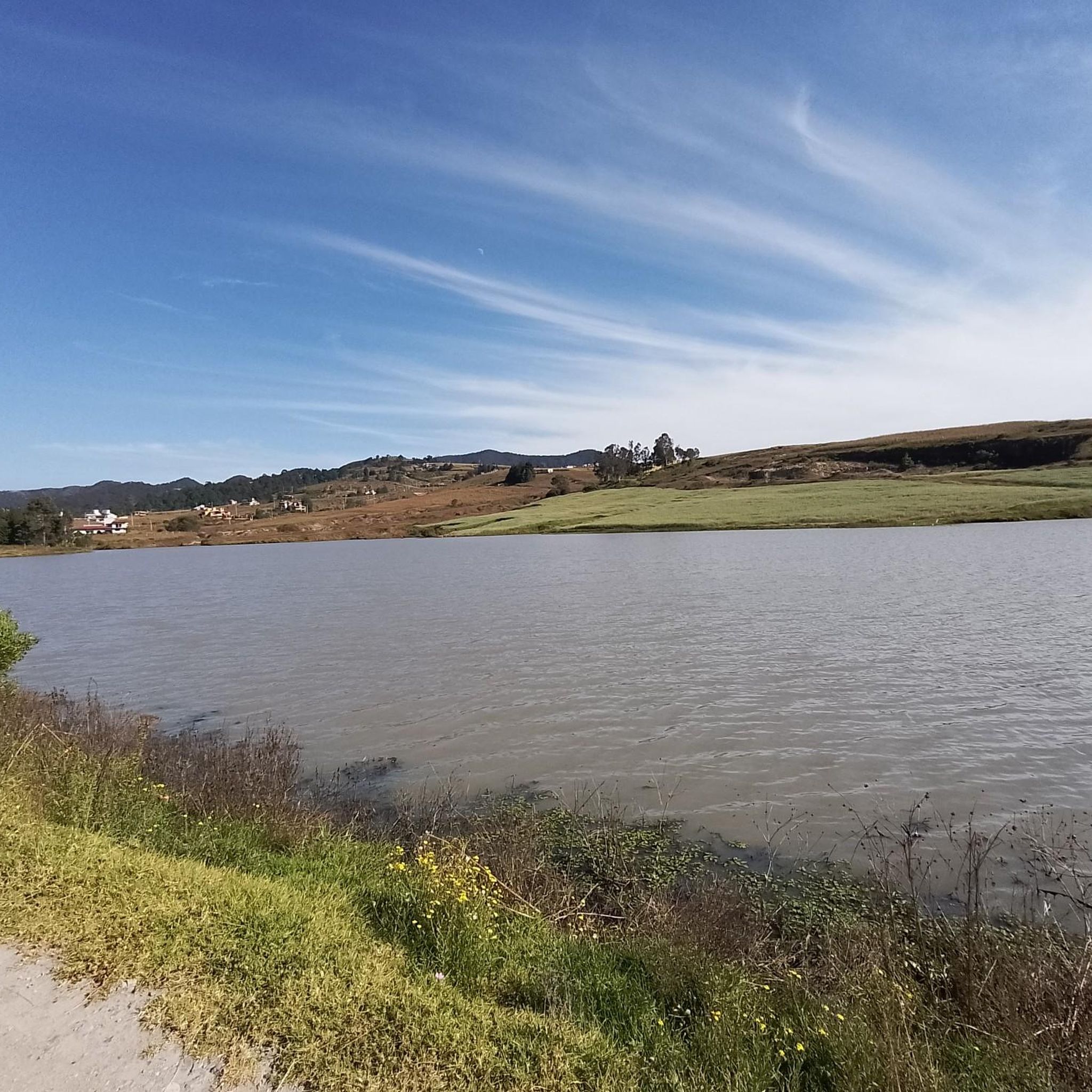
A wonderful place to visit, it's currently easier to access by vehicle (to a certain extent) and with parking. However, if you're someone who enjoys climbing mountains over 4,000 meters from the bottom, I'm sure you'll love the challenge. Don't forget that these are mountains, and weather changes can happen at unexpected times, so it's best to be prepared for anything, bringing hydration and food necessary for the effort and the weather. In the craters, you'll find two bodies of fresh water that form the Laguna del Sol and Laguna de la Luna. In the 1990s, you could dive at altitude in the icy waters. Visibility is very low, so it was done with instruments and good orientation, a dry suit, or a wetsuit for icy waters. Currently, only research personnel can do so with a special permit, as it is an ecological and archaeological reserve. Admission is fee-based, and on weekends, it's very crowded, so be patient and always respect the place. Leave it better than you found it, and enjoy! You can also get there by gravel bike or mountain bike, but achieving this requires good training due to the incline and altitude. Always remember: Respect the Mountain.
2
0

The air is getting quite thin once you get closer to the top. Allow yourself enough time to get up there. We had to take a lot of breaks and needed around 4 to 5 hours to get there!
1
0

Monte Alto was inhabited by the ancient Matlatzincas, who called it "Cerro de Agua" because in times of rain you could hear the sound of underground streams flowing under the thick blanket of vegetation. In 1991 it was decreed as a Monte Alto State Reserve.
2
0

We hiked this summit early November, the view was spectacular, temperatures were just around freezing at the summit, bring warm clothes. Getting there from the east is quite a climb, you will need your hands but it’s definitely doable. (rocks were mostly not covered in snow). We did the route from the parking then lake la Luna, summit, down by the steep path and then lake del sol in 6h tops, lots of pauses included. I would definitely recommend ! This is the recording we made: https://www.komoot.com/tour/551042236?ref=itd&share_token=aPotckuQ28XBpZ7rYokFekbIm64W95bMizIMSrVssC6FisSpS4
2
0
We went down from the summit by this path, it’s rubble and dirt everywhere but it you trust your ankles it can be quite fun and you have nice view of the lake. It took us 15-20 min to go downhill.
2
0

Route Information: Cerro Tlaloc, 4,157m. This was a nice surprise day for us, a group of four experienced guides and walkers setting out from Rio Frio, the small town at the base of this mountain. Basically we travelled to Rio Frio from Mexico City and started off at 9.30am. It's easy to find somewhere to park in the town and then just head roughly north west and find the trail that heads away from the glorious view of the 'Cabeza' (head) of nearby Ista. The trail is a wide one and you can't miss it really as it lays on the outskirts of the town. If you have any difficulties just ask. The trail is in reality a rough road and is suitable for a four wheel vehicle and it meanders up through a lovely pine forest, which restricts your view but it is still pleasant. Just stick to the trail and after four k's you start to come out on a plateau. You are still on the big trail and it generally heads to the right. If you come to a junction just follow the yellow arrows. You have views from the plateau and to the left, about 2ks away is the summit of Telopan (4,060m). You will move away from this for another four k's until you come to a single track trail. Follow this until you come to the rock banded summit area of Tlaloc. Now you go to the left of the rock bands, it's a bit of a bushman cross country trip but we managed to follow the trail up around to the left and had bit of a neat scramble until you come out above the bands. Another k and you come to the broad summit where you have the old Aztec pyramid. It is time to head down now and this is a bit of bush trek too but the views are quite nice. You have great views of Ista's 'Cabeza' again and it is all very pleasant. Now I would return the same way as you came if you lack hiking competency and use a GPS if you can. We returned a different way heading down the rock band and ended up on a good off piste trip...all rather fun. After a jaunt back down the trail we ended back in Rio Frio. All in all this was a very good hiking day. Nice views, good trail, pine forest hike, easy scrambling and moderate route finding problems. No maps available to us but we got a gps track downloaded from wiki log. Take a gps if you can even if it's only to back track.
5
0
Mount or Cerro Tlaloc (Spanish: Monte Tláloc, sometimes wrongly listed as Cerro el Mirador; Nahuatl: Tlālōcatepētl) is a mountain and archaeological site in central Mexico. It is located in the State of Mexico, in the municipalities of Ixtapaluca and Texcoco, close to the state border with Puebla. Formerly an active volcano, it has an official altitude of 4,120 metres (13,517 ft) above sea level, thus being the 9th tallest mountain of Mexico. The mountain was considered by the Nahuan peoples, foremost among them the Aztecs, to be specially sacred to the raingod Tlaloc. In fact, the mountain was believed to be one of his primary earthly dwelling places, called Tlalocan. Attribution of this and other mountains to the sacred presence of rain deities predates the Aztec era by centuries, even millennia. At the summit there are still remains of a shrine where high ceremonies would have been carried out. The rites of Tlaloc were otherwise performed at his temples, most famously that occupying one half of the Templo Mayor at the heart of the temple precinct of nearby Mexico-Tenochtitlan. The inherent analogy of temple pyramids to sacred mountains allows for the very likely possibility that the central temple of the Aztec capital, as such, was at least partly a symbolic representation of the actual Mount Tlaloc, and that the summit shrine of the temple was itself an analogue to that atop the mountain. The shrine atop is one of the highest-elevation shrines in the world. Together with Mount Telapón (4,060 metres (13,320 ft)) and some other, lower peaks, Mount Tlaloc forms the "Sierra de Río Frío", the northernmost tip of the Sierra Nevada. The mountain is easily accessible from Federal Highway 150 at the town of Río Frío de Juárez. The long, but easy and non-technical hike provides an elevation gain of over 1200 m.[2] More strenuous routes depart from San Pablo Ixayoc and from other towns outside Texcoco.
4
0
Carolina is absolutely right. Wen you are going up Izta and dawn breaks upon you the views across to the continually smoking Popo is amazing. Every time you turn back to take a picture you just have this marvellous volcano as a back drop. I simply love Mexico, its people and its mountains!
2
0
Οι πιο δημοφιλείς διαδρομές στο Μεξικό
Τα πιο δημοφιλή αξιοθέατα στο Μεξικό

Εμπνεύσου με την εφαρμογή komoot για κινητά


Δεν βρήκες αυτό που ψάχνεις;
Ανακάλυψε τις καλύτερες κορυφές και summit του Μεξικό ανά περιοχή:
Ανακάλυψε περισσότερα
Δες ακόμα περισσότερες εκπληκτικές κορυφές στο Μεξικό με αυτούς τους οδηγούς:
