Οι 20 πιο εκπληκτικές κορυφές Λιέγη
Οι καλύτερες ορεινές κορυφές στην περιοχή της Λιέγης βρίσκονται μέσα σε ένα τοπίο που χαρακτηρίζεται από τον ορεινό όγκο των Αρδεννών και τα Υψηλά Τόπια (High Fens). Αυτή η περιοχή προσφέρει αρκετά αξιοσημείωτα υψηλά σημεία, σημαντικά για το υψόμετρο και τα φυσικά τους χαρακτηριστικά. Η Λιέγη παρέχει ποικίλες υπαίθριες εμπειρίες και μοναδικά φυσικά περιβάλλοντα, γνωστή για τις χαρακτηριστικές περιοχές με ερημότοπους, δάση και ποτάμια. Τα υψηλά σημεία της περιοχής προσφέρουν πανοραμική θέα και εκτεταμένες ευκαιρίες για πεζοπορία.
Οι καλύτερες ορεινές…
Τελευταία ενημέρωση: 1 Νοεμβρίου 2026
Dreiländereck Vaalserberg
Highlight • Μνημείο
Μετάφραση από Google •
Συμβουλή από

Baltia Hill – Highest Point of Belgium
Highlight • Κορυφή
Μετάφραση από Google •
Συμβουλή από

Εγγράψου τώρα για να ανακαλύψεις μέρη σαν αυτό
Λάβε προτάσεις για τα καλύτερα single tracks, κορυφές και πολλά ακόμα συναρπαστικά υπαίθρια μέρη.
Baraque Michel
Highlight • Ορεινό καταφύγιο
Εμφάνιση μετάφρασης
Συμβουλή από

Vaalserberg Climb via Route des Trois Bornes
Highlight (Segment) • Αναρρίχηση
Μετάφραση από Google •
Συμβουλή από

Vaalserberg Climb from the Netherlands
Highlight (Segment) • Αναρρίχηση
Μετάφραση από Google •
Συμβουλή από

Observation Bunker MN18 and Knuppelstock Orientation Table
Highlight • Ιστορικός χώρος
Μετάφραση από Google •
Συμβουλή από
Hakkenberg - 252m
Highlight • Κορυφή
Μετάφραση από Google •
Συμβουλή από
Signal de Botrange – Highest Point of Belgium
Highlight • Κορυφή
Μετάφραση από Google •
Συμβουλή από

Col du Rosier East Climb
Highlight (Segment) • Αναρρίχηση
Μετάφραση από Google •
Συμβουλή από

Steling Summit
Highlight • Κορυφή
Μετάφραση από Google •
Συμβουλή από
Εγγράψου δωρεάν για να ανακαλύψεις ακόμα περισσότερες κορυφές στη Λιέγη.
Έχεις ήδη λογαριασμό;
Ξεκίνα σήμερα με έναν δωρεάν λογαριασμό
Η επόμενη περιπέτειά σου σε περιμένει.
Δημοφιλή γύρω από Λιέγη
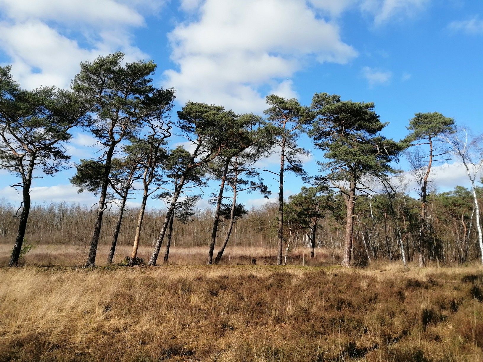
Από τη Φλάνδρα στις Αρδέννες — GR 5 στο Βέλγιο
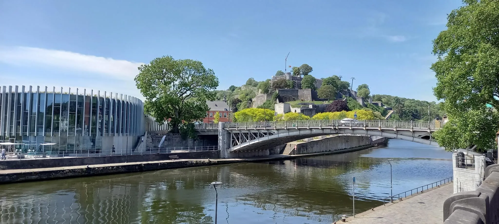
EuroVelo 3 — Η περιπέτεια στην καρδιά του Βελγίου
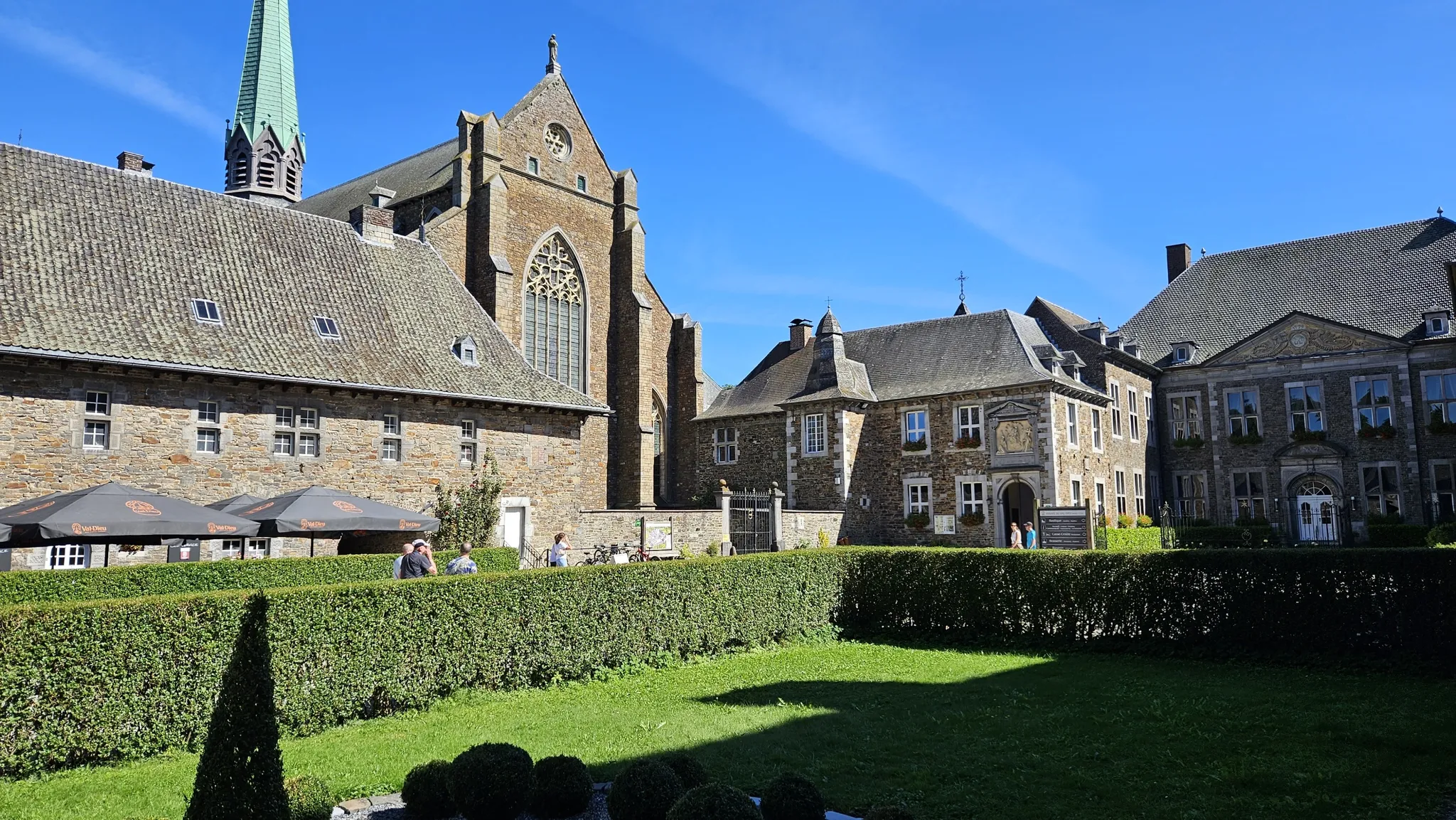
Trappist abbeys cycle route – Between beers and heritage
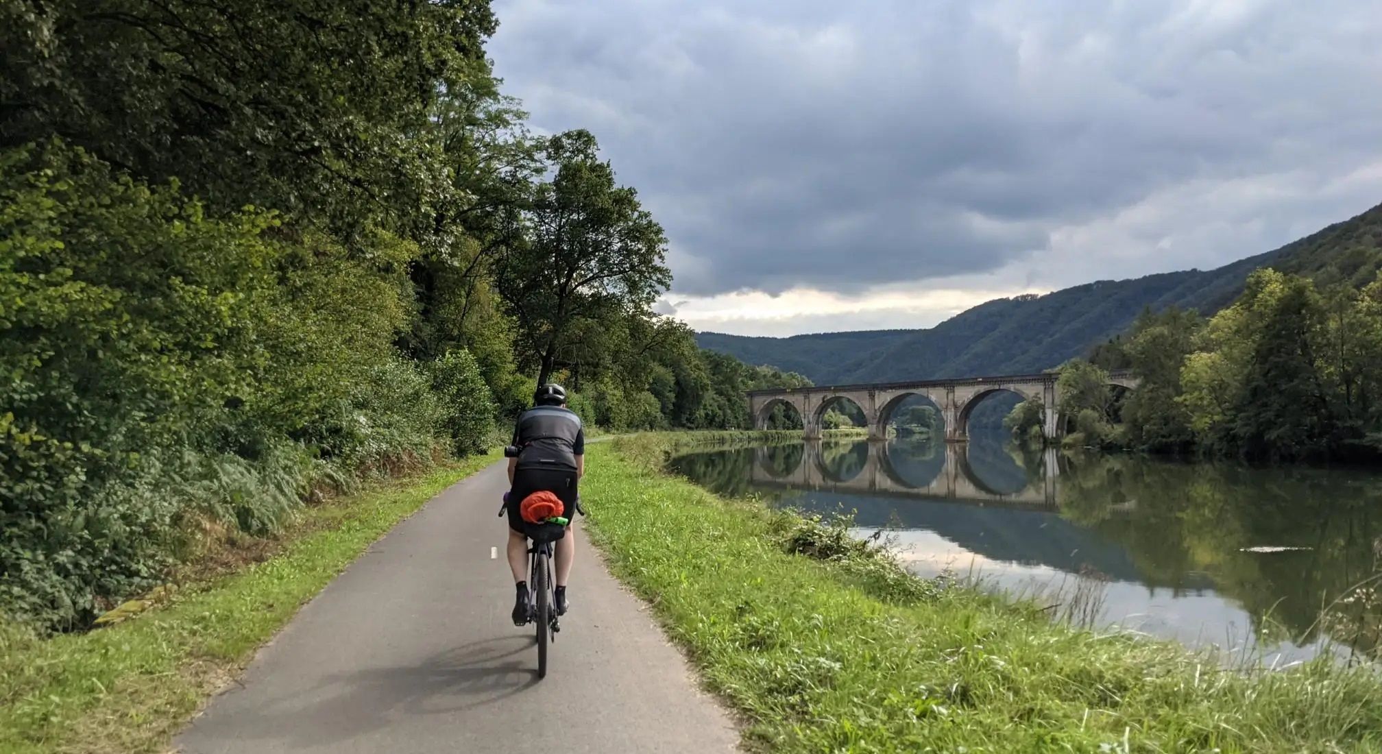
Aachen to Reims – Ardennes, Meuse and Champagne
Running an ultra in Belgium – long trails in a small country
The most beautiful bike rides in Wallonia – pure nature and culture
RAVeL W7 — Στο δρόμο των Αρδεννών
Hardennes Gravel Tour by Resist & Ride - 700 kilometers of unpaved adventure
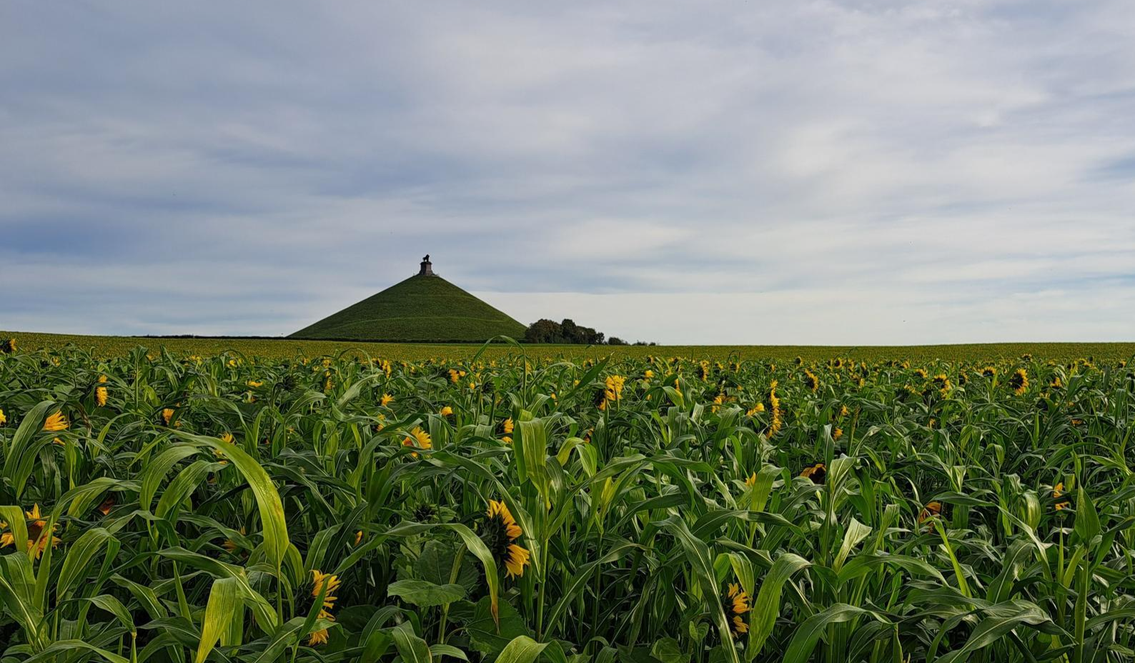
Crossing from east to west — Wallonia by Gravel
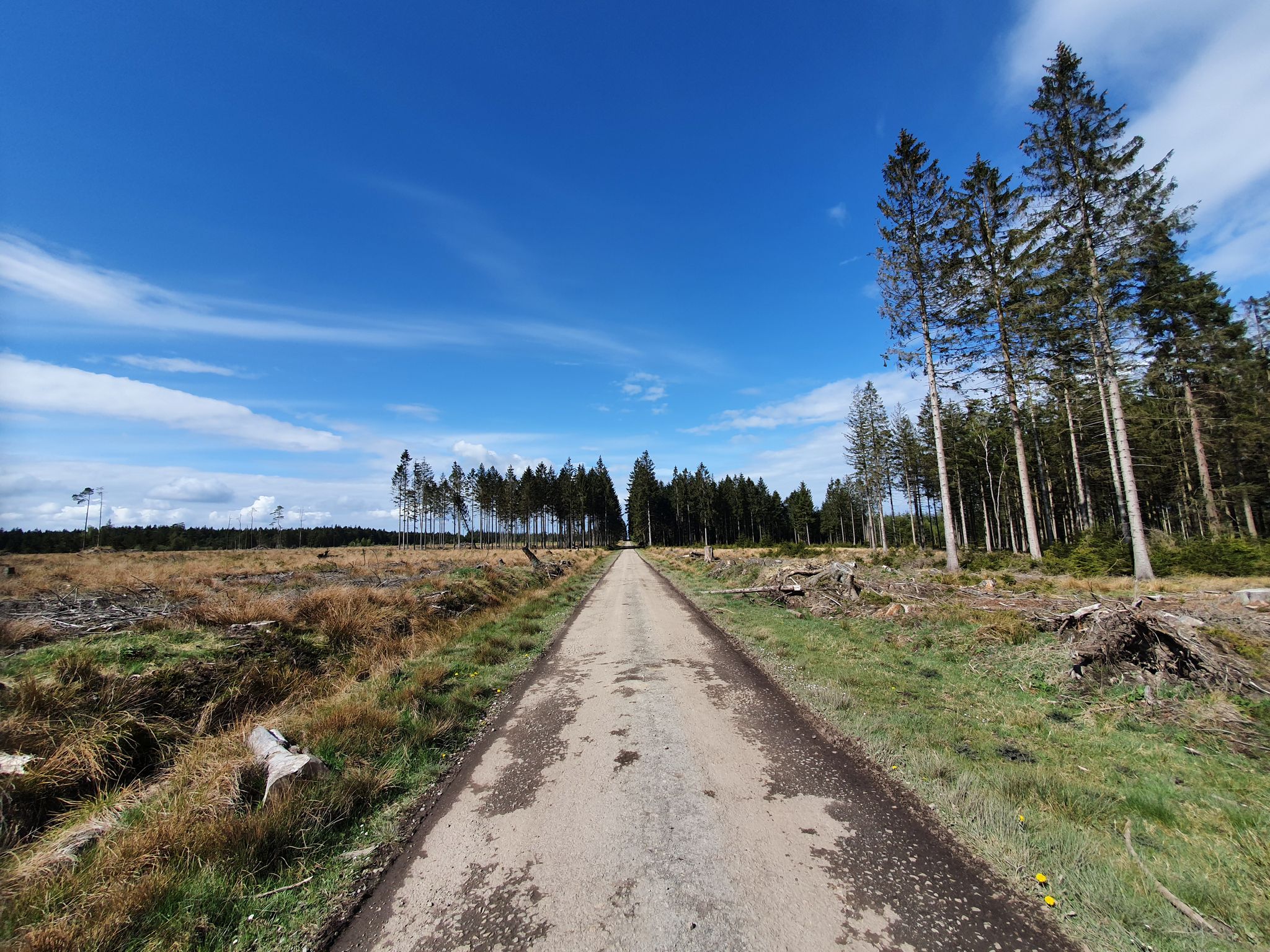
GR 2 from Verviers to Orval — The beautiful Ardennes in gravel
Άλλες περιπέτειες στη Λιέγη


Συμβουλές από την κοινότητα

Υπέροχο ήσυχο περιβάλλον με πυκνά δάση, κάποτε μια ανοιχτή πεδιάδα και όμορφα μονοπάτια.
3
0

The MN18 Observation Bunker is part of the first line of defense of the Position Fortifiée de Liège (PFL), a network of bunkers built in the 1930s to defend Belgium against a German invasion. MN18 was the 18th bunker in the Margarins-Neufchâteau sector and equipped with an FM turret, recognizable by its tapered shape. During the German attack in May 1940, the bunker was destroyed by a 50 kg shaped charge placed on top of the turret, just where the periscope was located. The damage is still visible, making MN18 a tangible reminder of World War II. Right next to the bunker is the Knuppelstock orientation table, an impressive work of blue limestone with a diameter of 1.5 meters and weighing approximately one ton. The relief of the surrounding landscape is engraved on it based on data from the National Geographic Institute, with bronze details indicating the visible points. The table is also accessible for the visually impaired thanks to its tactile elements. The project, carried out by local organizations such as Qualité-Village-Wallonie and the municipality of Aubel, is unique in Belgium.
11
0

At this point, history and landscape converge. The MN18 observation bunker, a silent witness to the Second World War, still stands as a reminder of a turbulent period. From the bunker, you also have a unique view of the surrounding hilly landscape. Next to the bunker is the Knuppelstock orientation table, a platform that indicates the names and directions of villages, hills, and landmarks in the area. It's an ideal spot to get to know the region better and to enjoy a panoramic view of the border area between the Netherlands and Belgium.
4
0
The Hakkenberg is one of the higher points in the Limburg hills, at an altitude of 252 meters. From here, you have a beautiful view of the surrounding rolling fields, forests, and villages that reflect the character of South Limburg.
2
0
The Steling is 658.3 m above sea level. NN the highest point in the city region of Aachen. The German-Belgian border runs over the hilltop. The Steling is located on the western edge of the Hohes Venn-Eifel nature park. At the southern foot lies Mützenich, a district of Monschau. On the northern slope lies the upper course of the Weser, which flows into the Ourthe via the Weser dam near Eupen to Liège.
6
0

The nicer side to cycle up the Vaalserberg. On this side you sometimes have the idea that you are climbing a beautiful pass in the Vosges
2
0

nice goal 3 countries point! coffee and on
3
0

This is called 'the climb' from the Netherlands, but this segment on Komoot is in the direction of descent. Not a big deal, but you should see it when you are creating a route.
4
0
Οι πιο δημοφιλείς διαδρομές στη Λιέγη
Τα πιο δημοφιλή αξιοθέατα στη Λιέγη

Εμπνεύσου με την εφαρμογή komoot για κινητά


Δεν βρήκες αυτό που ψάχνεις;
Ανακάλυψε τις καλύτερες κορυφές και summit του Λιέγη ανά περιοχή:
Ανακάλυψε περισσότερα
Δες ακόμα περισσότερες εκπληκτικές κορυφές στη Λιέγη με αυτούς τους οδηγούς:
