Οι καλύτερες MTB διαδρομές Risaralda
4,8
(5)
149
Ποδηλάτες
9
Ποδηλασίες
Υπάρχουν εξαιρετικά μονοπάτια ποδηλασίας βουνού Risaralda — αλλά πώς ξέρετε πού να πάτε; Εξετάσαμε ολόκληρη τη συλλογή mtb μονοπατιών μας Risaralda για να σας φέρουμε τα καλύτερα. Εξερευνήστε τα όλα παρακάτω.
Τελευταία ενημέρωση: 27 Οκτωβρίου 2026
5,0
(1)
56
Ποδηλάτες
49,9km
03:55
1.250m
1.250m
Δύσκολη ορεινή ποδηλασία. Απαιτείται πολύ καλή φυσική κατάσταση.
36
Ποδηλάτες
68,7km
06:39
1.890m
1.890m
Δύσκολη ορεινή ποδηλασία. Απαιτείται πολύ καλή φυσική κατάσταση.

25
Ποδηλάτες
33,9km
02:43
770m
770m
Μέτρια ορεινή ποδηλασία. Απαιτείται καλή φυσική κατάσταση.
4,0
(1)
6
Ποδηλάτες
48,2km
03:34
1.080m
1.080m
Δύσκολη ορεινή ποδηλασία. Απαιτείται πολύ καλή φυσική κατάσταση.
4
Ποδηλάτες
24,7km
02:14
740m
740m
Μέτρια ορεινή ποδηλασία. Απαιτείται καλή φυσική κατάσταση.
Πάρε πρόσβαση σε περισσότερες διαδρομές και προτάσεις από άλλους εξερευνητές.
Έχεις ήδη λογαριασμό;
Οι προτάσεις διαδρομών μας βασίζονται σε χιλιάδες πεζοπορίες, ποδηλασίες και τρεξίματα που ολοκληρώθηκαν από άλλους χρήστες στο komoot.
Ξεκίνα σήμερα με έναν δωρεάν λογαριασμό
Η επόμενη περιπέτειά σου σε περιμένει.
Δημοφιλή γύρω από Risaralda
Συμβουλές από την κοινότητα

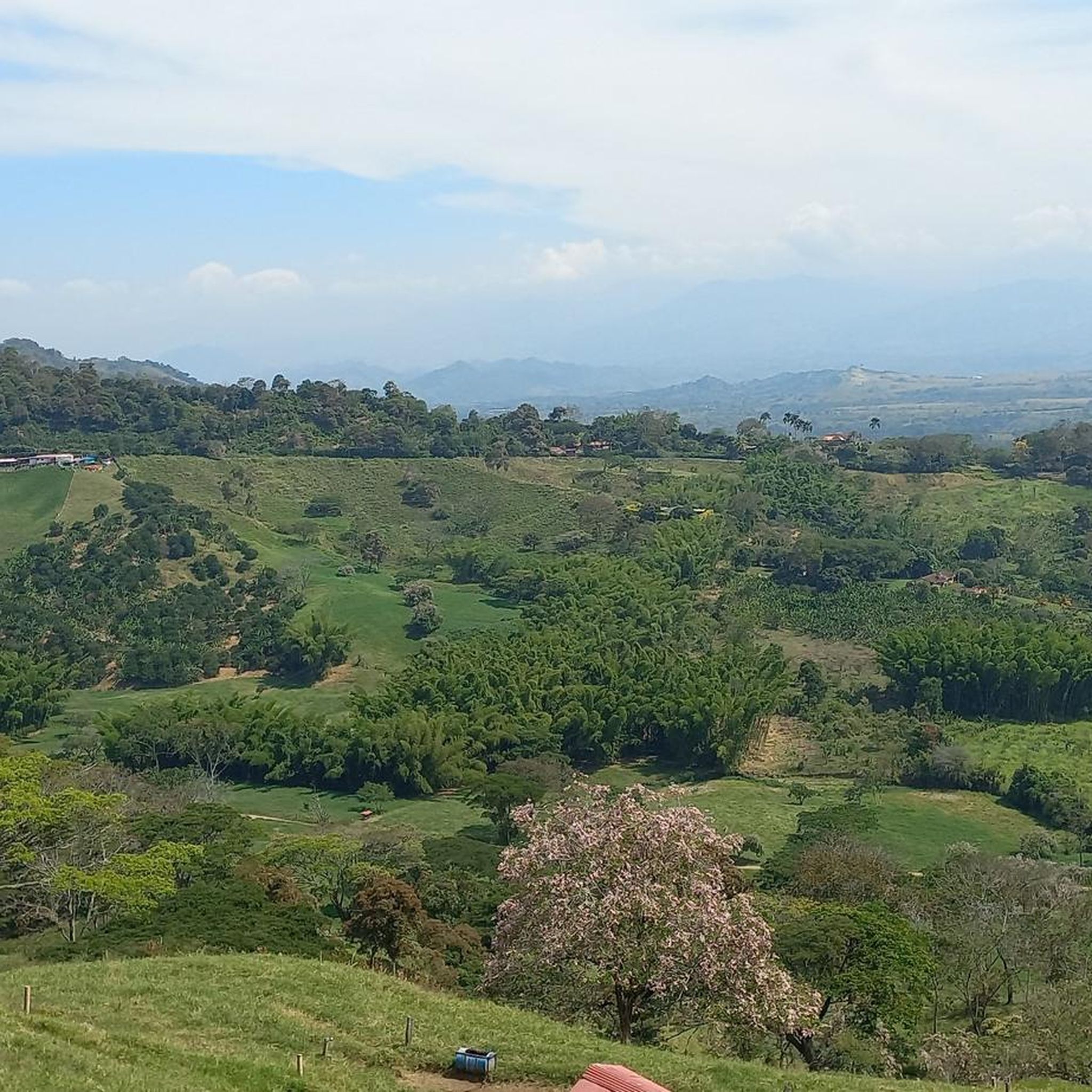
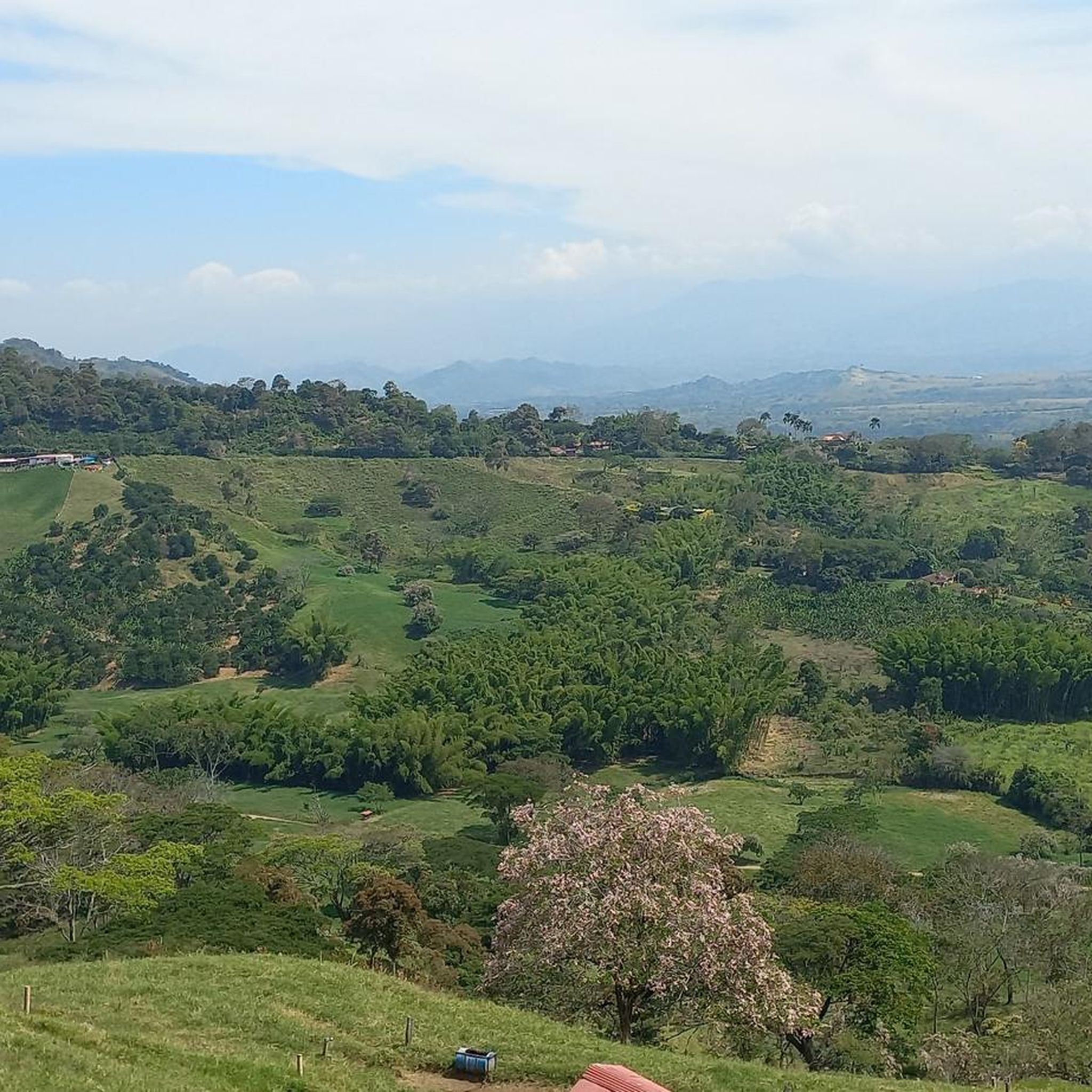
Κατά προσέγγιση απόσταση: 9,33 χλμ. Ξεκινά με μια πολύ τεχνική κατάβαση με μεγάλες πέτρες σε στενό και κακοδιατηρημένο μονοπάτι, οπότε πρέπει να κατεβείτε με προσοχή. Μετά την άφιξη στον ποταμό Campoalegre, ξεκινά μια ανάβαση 2,4 χλμ. από εκεί και μετά, θα συναντήσουμε τμήματα με εναλλασσόμενες ανηφόρες και κατηφόρες μέχρι την τελική κατάβαση προς το La Esmeralda.
0
0
MTB section, approximately 4.05 km, is an unknown site located on the road to Esmeralda, it is very pleasant as it runs along paved trails full of nature and is almost all flat, and ends at the Estrella path.
0
0
Lake Balsora or Cameguadua Reservoir was built in 1952 to supply the power generating plants of Insula, La Esmeralda and San Francisco. Over time, the lake became a problem as it received a lot of sediment from the basins that supplied the reservoir. It was then divided into three lakes; and the CHEC, in alliance with the Government, the Mayor's Office, Empocaldas and Corpocaldas began with work to decontaminate and dredge the lake. In 2010, the north lake was isolated and in 2012, the construction of the pipeline to supply water from the Campoalegre River was completed, thinking of converting the place into a tourist site with great natural and landscape wealth. Today it has the capacity for 300 or 400 people, parking areas for cars and motorcycles, in addition, it has a 600 meter path and a special roundabout for bird watching, it has sport fishing, and a boat service.
0
0
La Vereda El Trébol was founded in 1926 by Antioquian colonizers, its founders were Luis Emilio López and Desiderio López without any relation, from a humble background, they arrived when grass covered the region. They made their way and planted bread products and transported what was produced on foot to the San Pacho market, which is currently the Municipality of Chinchiná. Little by little, more settlers arrived in the region and the joint activities of its residents began to be carried out, such as bazaars, raffles and parties. Some time later the church and the aqueduct in 1951 which to this day provides valuable water to this community. In September, its festivals called "the collector's festivals" are celebrated and it is located at 1,510 meters above sea level and has an estimated population of 1,800 inhabitants.
0
0
La Estrella is a path located between Trébol and Floresta, and is between the Chinchina-Marseille road. The Star River passes through it.
0
0
Ascent for MTB by trail to Palestine, a very pleasant and quiet route, it is also demanding with good climbs to get to the road to Palestine, there are 2.67 km of route
0
0
MTB section, which communicates under Spanish and the clover. 6.23 kms of distance and 4.6 5 of inclination
0
0

El Trébol is a place to go to or return from many places
1
0
Οι πιο δημοφιλείς διαδρομές Risaralda
Τα πιο δημοφιλή αξιοθέατα Risaralda

Εμπνεύσου με την εφαρμογή komoot για κινητά


Ανακάλυψε περισσότερα
Περιηγήσου τα καλύτερα MTB μονοπάτια σε άλλες περιοχές.
