4,4
(36279)
177.624
Πεζοπόροι
13.404
Πεζοπορίες
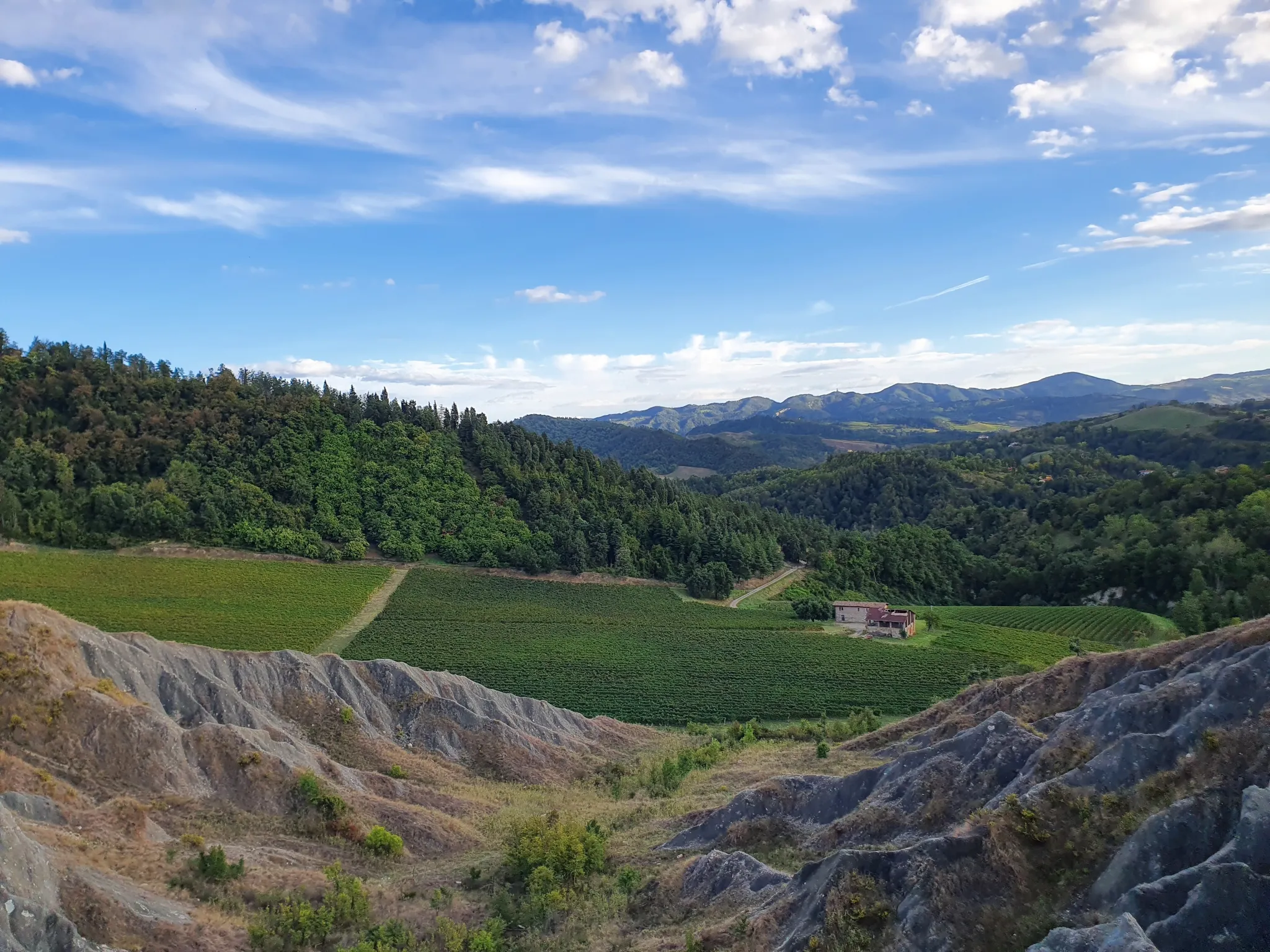
Εύκολα μονοπάτια πεζοπορίας στην Εμίλια-Ρομάνια διασχίζουν ένα ποικιλόμορφο τοπίο, που χαρακτηρίζεται από τα Απέννινα Όρη, τους κυματιστούς λόφους, τα απέραντα δάση και τις βαθιές κοιλάδες. Η περιοχή διαθέτει μοναδικούς γεωλογικούς σχηματισμούς, όπως ασβεστολιθικούς βράχους και ηφαιστειακές πλαγιές, ιδιαίτερα εντός του εκτεταμένου δικτύου προστατευόμενων περιοχών της. Αυτά τα καλοδιατηρημένα μονοπάτια προσφέρουν ποικίλο έδαφος, από ήπιες πλαγιές μέχρι πηγές ποταμών και φυσικές οάσεις, κατάλληλα για προσβάσιμη υπαίθρια εξερεύνηση.
Τελευταία ενημέρωση: 7 Ιουλίου 2026
4,2
(130)
261
Πεζοπόροι
5,71km
01:52
250m
250m
Embark on the Source of the Rubicone and Passo dei Meloni loop tour, an easy hike covering 3.5 miles (5.7 km) with an elevation gain of 821 feet (250 metres), typically completed in about 1 hour and 51 minutes. As you hike, you will experience diverse terrain, including unpaved sections, natural paths, asphalt, and gravel, with occasional short, steep climbs. The route offers panoramic views stretching from the Tuscan-Romagna Apennines to the Adriatic Riviera, showcasing unique "calanchi" or gullies that give some areas a distinct lunar appearance. You will also pass the historical source of the Rubicone River and the Sorgente dell'Urgone, featuring a small lake surrounded by reeds, alongside wooded sections and ancient oak trees.
This trail is located in the Sogliano al Rubicone area of Italy and is considered accessible for a wide range of fitness levels, making it suitable for most hikers. While the path is generally easy, be prepared for varied surfaces and some inclines. No specific details regarding trailhead access, parking, public transport, permits, or fees are provided, but the trail's accessibility suggests it is straightforward to begin. It is a great option for a relatively quick outdoor escape, offering both natural beauty and historical intrigue.
The area holds significant historical weight, traversing the Rubicon Valley, famously crossed by Julius Caesar. The Passo dei Meloni ridge itself was a vital connection and trade route, even used for sulfur transport in the 1700s. Beyond its history, the trail is known for its unique geological formations, particularly the dramatic "calanchi" at Passo dei Meloni, which contribute to its otherworldly feel. This region is sometimes called the "Sentiero delle Farfalle" or Butterfly Trail due to the many colorful butterflies you might encounter. The extensive views from Passo dei Meloni encompass both mountains and the sea, providing a memorable backdrop to your hike.
4,4
(90)
261
Πεζοπόροι
6,12km
01:47
160m
160m
The Bianello Park Trail offers an easy hike through a protected natural reserve in the lower Emilian Apennines. You will wander through oak forests and small meadows, enjoying scenic views of the surrounding hilly landscape. This gentle route covers 3.8 miles (6.1 km) with an elevation gain of 514 feet (157 metres), taking about 1 hour and 47 minutes to complete. As you hike, you will pass by the historic Castello di Bianello, a notable landmark. Keep an eye out for diverse flora and listen for the sounds of over 130 bird species that call this area home.
To begin your hike, you can typically find parking near the starting point in Quattro Castella. The trail is well-maintained and accessible, making it suitable for families and individuals looking for a leisurely walk. For additional information or details about guided excursions, you can visit the Oasi di Bianello Visitor Center. This loop is generally open and welcoming for visitors seeking a pleasant outdoor experience.
This trail allows you to explore a unique natural reserve, home to diverse plant species and a rich bird population. You might also encounter educational panels along paths like the Butterfly Trail, highlighting the area's ecological importance. The historic Castello di Bianello adds a cultural layer to your journey, connecting you to the region's past and figures like Matilda of Canossa. It is a great option if you are looking for a blend of nature and history.

Εγγραφή δωρεάν
4,4
(52)
170
Πεζοπόροι
4,77km
01:25
140m
140m
Embark on an easy 3.0-mile (4.8 km) hike along the Butterfly Trail through LIPU Bianello Oasis, a route that takes about 1 hour and 24 minutes to complete. You will gain approximately 459 feet (140 metres) in elevation as you explore mixed forests of oaks, hornbeams, and ash trees. The trail offers a peaceful experience, winding through rich undergrowth and past the famous Sentiero delle Farfalle, where you can observe diverse insect life.
To begin your adventure, you can find convenient parking at the trailhead. If you are coming from Reggio Emilia, take state road 63, then after passing Rivalta, follow the signs for Quattro Castella. From there, continue following the signs that direct you to Oasi Bianello. This clear signage makes accessing the starting point straightforward, allowing you to quickly immerse yourself in the natural surroundings.
This area is a haven for wildlife, boasting over 130 bird species, including the impressive Sparrowhawk, which is the symbol of the oasis. As you hike, you will encounter interesting geological features, such as rocks containing numerous ammonite fossils, remnants of an ancient sea. The route also passes the artistic Scultura del Libro on the Anita Garibaldi path, offering a unique blend of nature and cultural heritage.
4,2
(54)
115
Πεζοπόροι
6,46km
02:00
230m
230m
Embark on an easy hike from San Martino in Pedriolo to explore the unique Calanchi di Bologna. This 4.0-mile (6.5 km) ring tour takes about 1 hour and 59 minutes, with an elevation gain of 742 feet (226 metres). You'll discover a striking, almost lunar landscape formed by rainwater erosion, creating deep furrows and ridges in the clay soil. The paths are easily walkable, making it suitable for all skill levels. Enjoy views of the surrounding hills near Castel San Pietro Terme as you traverse this distinctive terrain.
Planning your visit to the Calanchi ring tour is straightforward. The trail begins conveniently near a parking area, making access simple if you are driving. Since it's an easy route, you can comfortably complete it in under two hours. This hike is suitable for all levels of ability, so you don't need special training. It's a great option for a quick outdoor escape.
What makes this trail particularly notable is the opportunity to witness the distinctive geological formations of the Calanchi. This geomorphological phenomenon, where rainwater has eroded the terrain over time, creates a visually interesting and unique environment in the Bologna area. The eroded, lunar-like landscape sets this route apart from other hikes in the region.
4,1
(14)
71
Πεζοπόροι
Begin your exploration of Bologna's historic center on this easy 3.8-mile (6.1 km) hike. You will experience the city's vibrant atmosphere and rich architectural heritage, gaining just 103 feet (31 metres) in elevation over about 1 hour and 34 minutes. The route guides you through bustling streets and lively piazzas, passing impressive buildings around Piazza Maggiore. You will also see the famous Asinelli and Garisenda Towers dominating the skyline, offering a true sense of Bologna's unique charm.
This route is suitable for all fitness levels, featuring easily accessible paved paths throughout. You won't need rugged hiking boots, making it a comfortable urban walk. The central location means many major landmarks are accessible on foot, perfect if you are looking for an introduction to Bologna. Public transport is readily available to reach the starting point, which is conveniently located near Bologna Centrale Station.
This loop offers a deep dive into Bologna's medieval and Renaissance architecture, showcasing a blend of history and modern city life. A significant highlight is walking through Bologna's characteristic porticoes, a UNESCO World Heritage site, which provide sheltered pathways and contribute to the city's distinct character. The route is an excellent way to immerse yourself in the cultural fabric of this iconic Italian city.
4,5
(13)
222
Πεζοπόροι
6,36km
01:37
20m
20m
Embark on an easy 4.0-mile (6.4 km) loop hike in Rimini, offering a delightful blend of seaside charm and ancient history. This gentle stroll, with only 61 feet (19 metres) of elevation gain, takes approximately 1 hour and 37 minutes to complete. You will begin by enjoying views of the Adriatic Sea along the lively promenade, with its expansive sandy beaches. As the route turns inland, you will discover Rimini's historic core, a treasure trove of ancient Roman landmarks and medieval monuments. Imagine walking through the Arch of Augustus, the oldest Roman arch still standing in Northern Italy, as you enter the city's past. The terrain shifts from dedicated walking paths to paved and cobblestone streets, making for a comfortable exploration. This easy route is suitable for all fitness levels.
This accessible loop tour is ideal for anyone looking to experience Rimini's diverse identity without strenuous effort. Since it is an urban trail, you can typically access it from various points within the city, making it convenient to start your adventure. The paths are easily accessible, consisting of dedicated walking and cycling paths along the promenade, and paved or cobblestone streets in the historic center. As an urban route, it is generally available year-round, offering a pleasant walk through the city's highlights.
What makes this trail particularly notable is its unique ability to immerse you in centuries of history and culture within a relatively short walk. Beyond the Arch of Augustus, you will encounter the perfectly preserved Tiberius Bridge, a Roman engineering marvel from 21 AD. Explore the Surgeon's Domus, an extraordinary Roman house with original mosaics, and admire the Renaissance architecture of the Malatesta Temple. The route also leads you through vibrant squares like Piazza Cavour and into the charming Borgo San Giuliano, known for its colorful houses and murals dedicated to filmmaker Federico Fellini.
4,5
(31)
91
Πεζοπόροι
3,88km
00:59
10m
10m
Explore the Cannevié Oasis on an easy loop tour, perfect for all skill levels. This scenic hike covers 2.4 miles (3.9 km) with minimal elevation gain of just 19 feet (6 metres), taking about 58 minutes to complete. You will walk through a small salty valley, a remnant of a larger lagoon, connecting the historic Cannevié and Porticino casoni, old fishing huts that add a touch of history to your journey.
Access to the Nature Trail is free, and you will find convenient parking near restaurants at either end of the route. The trail is generally open year-round, though it closes in late spring to protect nesting birds. Bicycles are prohibited, ensuring a peaceful experience for pedestrians. Remember to bring a camera and binoculars to fully appreciate the views and wildlife.
This trail is considered the jewel in the crown of the Cannevié Oasis, known for its rich biodiversity and abundant birdlife. It is a prime spot for birdwatching, with observation huts, some accessible for people with disabilities, placed along the route. You will also find unique informative signs and a reconstruction of a 'lavoriero,' an old fishing system, offering insight into the area's natural and cultural heritage.
4,3
(21)
40
Πεζοπόροι
Explore the unique gypsum karst landscape of Parco dei Gessi Bolognesi on this easy 3.1-mile (5.0 km) hike. You will gain 566 feet (173 metres) in elevation over about 1 hour and 30 minutes, traversing diverse terrain with rolling hills and rocky cliffs. Look out for the "View of Bologna from Gessi di Croara" which offers remarkable panoramas of the Savena valley, showcasing the area's distinctive geological features.
This route is known for its accessible natural and unpaved paths, making it a great choice for many hikers. Starting from Rastignano, you can expect a straightforward experience on this easy trail. It is a good option if you are looking for a relatively short and gentle walk to immerse yourself in the park's scenery.
The Parco dei Gessi Bolognesi e Calanchi dell'Abbadessa is a UNESCO World Heritage Site, recognized for its exceptional karst phenomena. This trail provides an excellent opportunity to witness the striking gypsum formations and learn about the region's geological significance. The wider park area also holds prehistoric archaeological importance, with ancient quarries believed to date back to Roman times.
4,3
(20)
84
Πεζοπόροι
7,48km
01:55
30m
30m
Embark on an easy hike through the heart of Parma with the Parma City and Parks Loop. This urban route spans 4.6 miles (7.5 km) and features a gentle elevation gain of just 85 feet (26 metres), making it accessible for nearly two hours of exploration. You will wander through historic streets, passing impressive architecture like the Parma Cathedral, experiencing the city's vibrant atmosphere on foot. The trail offers a relaxed pace, perfect for soaking in the sights and sounds of this Italian gem.
To begin your journey, head to the Tourist Office-IAT Parma Welcome located on Strada Garibaldi, a central and easy-to-find starting point. This easy route is suitable for all fitness levels, including families, so you do not need special preparation. While street parking can be limited, you will find several public parking garages within or close to the city center. Consider starting in the morning to enjoy the city before it gets too busy, ensuring a pleasant experience.
This loop provides an immersive introduction to Parma's rich history and cultural heritage. You will primarily follow accessible urban paths and streets, guiding you past a rich historical landscape. The route showcases major landmarks and significant squares, offering a comprehensive overview of the city's heritage. It is a wonderful way to connect with Parma's past and present.
4,4
(14)
39
Πεζοπόροι
5,11km
01:36
190m
190m
Embark on the Path of the Gods and Bregoli Trail Loop, an easy hike that guides you through a blend of unpaved paths and asphalt sections within the diverse natural setting of Parco Talon. This 3.2-mile (5.1 km) route involves a manageable 617 feet (188 metres) of elevation gain, typically completed in about 1 hour and 36 minutes. As you ascend, you will experience the changing scenery, culminating in the breathtaking panoramic views from the Sanctuary of Our Lady of San Luca. From this hilltop vantage point, you can gaze across the city of Bologna, the vast Emilian plain, and even spot the distant Alps and Adriatic Sea. The trail also incorporates sections of the historic Portico di San Luca, a UNESCO World Heritage site, adding a cultural dimension to your outdoor adventure.
This easy hike is well-suited for most fitness levels, making it an excellent choice for a relaxed outing. You can conveniently begin your journey from Parco Talon, where parking is generally available for visitors. While the route is accessible year-round, consider starting in the morning to enjoy cooler temperatures and clearer views. Remember to wear comfortable shoes that can handle both the unpaved and asphalt sections of the trail, ensuring a pleasant experience throughout your walk.
The Path of the Gods and Bregoli Trail Loop offers a unique opportunity to explore the natural beauty of Parco della Chiusa while connecting with significant historical landmarks. The route's highlight, the Sanctuary of Our Lady of San Luca, is not just a viewpoint but a revered pilgrimage site. Furthermore, walking along portions of the Portico di San Luca, a UNESCO World Heritage site, allows you to experience a piece of Bologna's rich architectural and cultural heritage firsthand. This trail provides a perfect blend of nature, history, and stunning vistas, making it a notable option for anyone visiting the region.
Πάρε πρόσβαση σε περισσότερες διαδρομές και προτάσεις από άλλους εξερευνητές.
Εγγραφή δωρεάν
Έχεις ήδη λογαριασμό;
Οι προτάσεις διαδρομών μας βασίζονται σε χιλιάδες πεζοπορίες, ποδηλασίες και τρεξίματα που ολοκληρώθηκαν από άλλους χρήστες στο komoot.
Ξεκίνα σήμερα με έναν δωρεάν λογαριασμό
Η επόμενη περιπέτειά σου σε περιμένει.
Σύνδεση ή εγγραφή
Δημοφιλή γύρω από Εμίλια-Ρομάνια

Εύκολες πεζοπορίες Reggio nell'Emilia
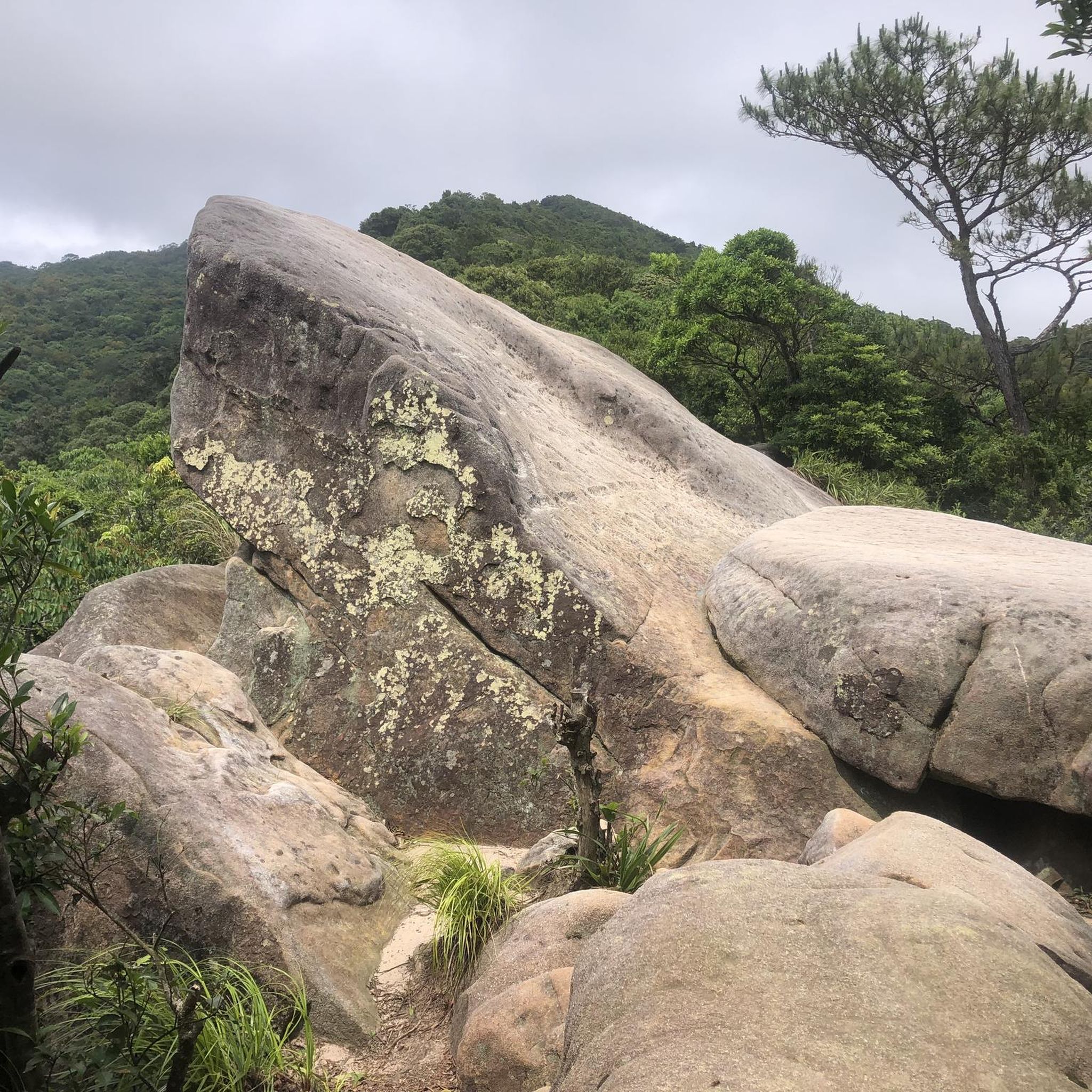
Εύκολες πεζοπορίες Μπολόνια
Εύκολες πεζοπορίες Πάρμα

Εύκολες πεζοπορίες Μόντενα

Εύκολες πεζοπορίες Φορλί-Τσεζένα
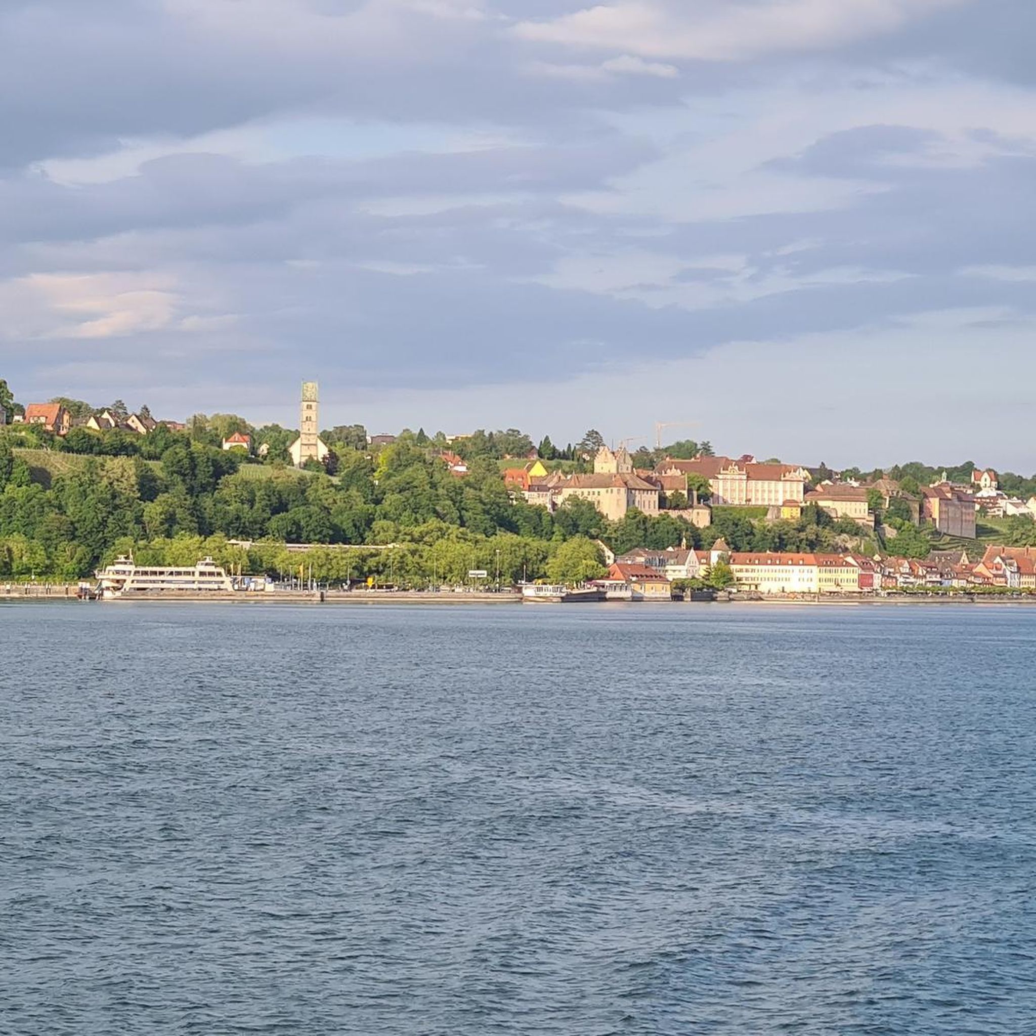
Εύκολες πεζοπορίες κοντά σε Πιατσέντσα

Εύκολες πεζοπορίες Ραβέννα

Εύκολες πεζοπορίες Φερράρα
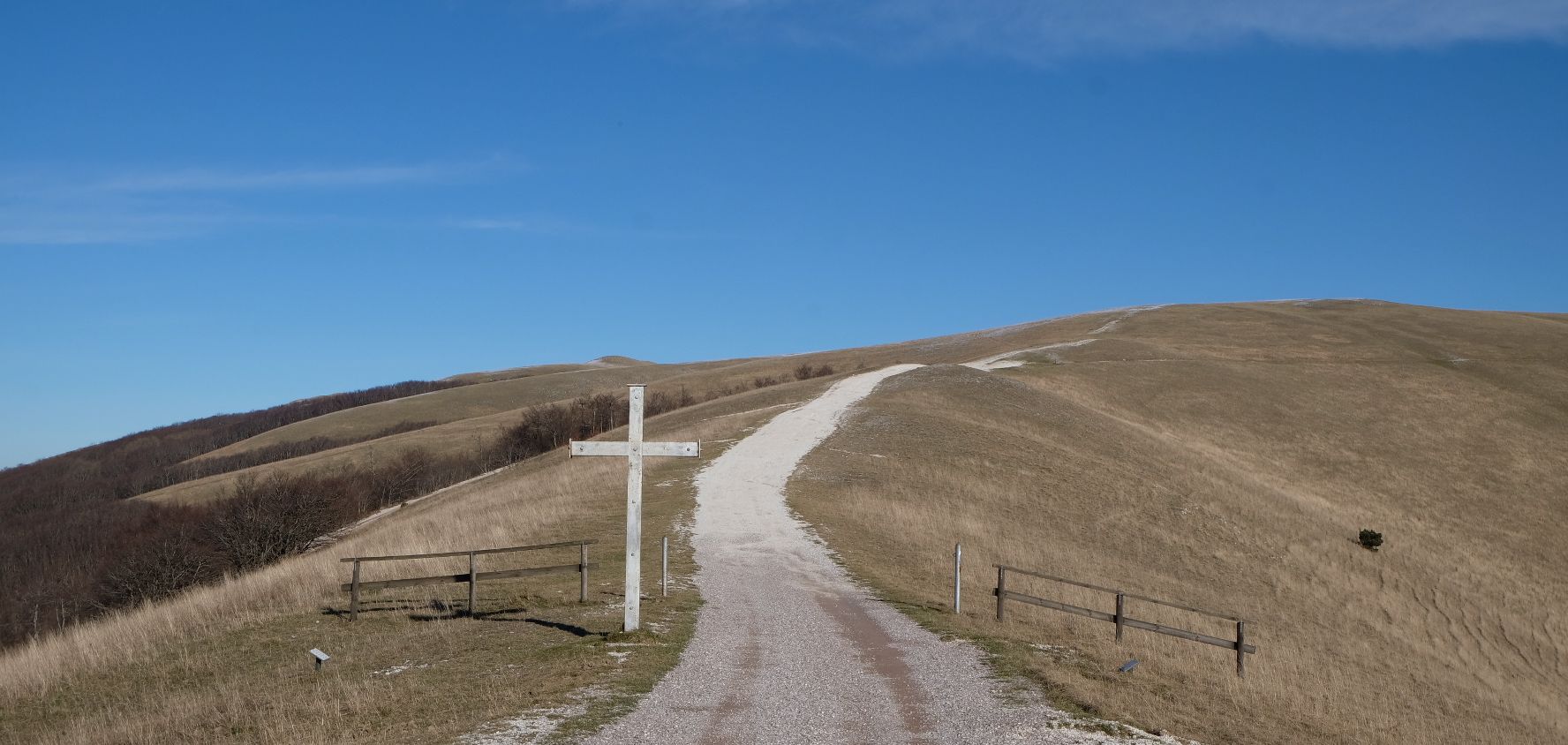
In the footsteps of St. Francis - Cammino di Assisi
Hike from Bologna to the Apennines in Itlay – Piccola Cassia on foot
Υπέροχο να βρίσκεσαι εδώ σε κοντινή απόσταση από το κιόσκι. Απλά απόλαυσε τα πολλά σκιερά μέρη ή βρες δροσιά στα υδάτινα στοιχεία.
2
0
As some have correctly noted, this is not a bridge over the river Tiber (in and near Rome) but one built by Tiberius, the emperor.
1
0
Sculpture located at the end of the path near the Corte degli Ulivi. Next to it, you can also find a beautiful poem dedicated to the stars.
0
0
It's worth a stop
0
0
very nice route...a couple of dirt sections due to recent rains, but passable with caution.
1
0
If you want to get the best possible view of the animals, bring binoculars. They're numerous but elusive, and you can't get close enough to see them with the naked eye.
0
0
A beautiful walk accessible to everyone. Access is free, and parking is available at one of the two restaurants at the ends of the trail.
0
0
Quite interesting, there are many boats and ships anchored here.
0
0
Η Εμίλια-Ρομάνια προσφέρει ένα εκτεταμένο δίκτυο μονοπατιών, με πάνω από 4.000 εύκολες πεζοπορικές διαδρομές διαθέσιμες. Αυτές οι διαδρομές απευθύνονται σε διάφορα επίπεδα ικανοτήτων, καθιστώντας την περιοχή προσβάσιμη για υπαίθριες εξερευνήσεις.
Οι εύκολες πεζοπορίες στην Εμίλια-Ρομάνια διαθέτουν ποικίλο έδαφος, από τους κυματιστούς λόφους και τα δάση των προπόδωνων των Απεννίνων έως μοναδικούς γεωλογικούς σχηματισμούς όπως ασβεστολιθικοί βράχοι και ηφαιστειακοί γκρεμοί. Μπορείτε να βρείτε ήπιες κλίσεις, πηγές ποταμών και φυσικά καταφύγια, προσφέροντας ποικίλα φυσικά τοπία.
Τα Απέννινα της Εμίλια-Ρομάνια οριοθετούν τα σύνορα μεταξύ των ευρωπαϊκών και μεσογειακών κλιμάτων, προσφέροντας ποικίλα οικοσυστήματα. Η άνοιξη και το φθινόπωρο είναι ιδιαίτερα ευχάριστα για πεζοπορία, με ήπιες θερμοκρασίες και όμορφα φύλλωμα, ειδικά σε περιοχές όπως το Εθνικό Δρυμό Casentinesi, Monte Falterona και Campigna, γνωστό για τα εκπληκτικά φθινοπωρινά του χρώματα. Το καλοκαίρι μπορεί επίσης να είναι κατάλληλο, ειδικά σε μεγαλύτερα υψόμετρα στα Απέννινα.
Ναι, πολλές εύκολες πεζοπορικές επιλογές στην Εμίλια-Ρομάνια είναι κατάλληλες για οικογένειες. Τα Απέννινα της Μόντενα, για παράδειγμα, προσφέρουν ένα πυκνό δίκτυο εύκολων και γραφικών μονοπατιών που διασχίζουν ιστορικά χωριά, αρχαία δάση και εκπληκτικά σημεία θέας. Διαδρομές όπως η Διαδρομή Πάρκου Bianello ή η Διαδρομή Πεταλούδας μέσω της Όασης LIPU Bianello είναι εξαιρετικές επιλογές για μια χαλαρή οικογενειακή έξοδο.
Ναι, η Εμίλια-Ρομάνια διαθέτει αρκετούς γραφικούς καταρράκτες στους οποίους μπορείτε να έχετε πρόσβαση μέσω εύκολων μονοπατιών. Αξιοσημείωτα παραδείγματα περιλαμβάνουν τους Καταρράκτες Sega, τους Καταρράκτες Dardagna και τους Καταρράκτες Bucamante. Αυτά τα φυσικά χαρακτηριστικά προσθέτουν στη γραφική ομορφιά των πεζοπορικών διαδρομών της περιοχής.
Πολλά εύκολα μονοπάτια στην Εμίλια-Ρομάνια έχουν σχεδιαστεί ως κυκλικές διαδρομές, επιτρέποντάς σας να ξεκινήσετε και να τερματίσετε στο ίδιο σημείο. Παραδείγματα περιλαμβάνουν την Πηγή του Rubicone και Passo dei Meloni – κυκλική διαδρομή, την Από San Martino in Pedriolo στα Calanchi – κυκλική διαδρομή, και την Διαδρομή Φύσης στην Όαση Cannevié – κυκλική διαδρομή.
Οι εύκολες πεζοπορίες στην Εμίλια-Ρομάνια οδηγούν μέσα από μια ποικιλία φυσικών θαυμάτων. Μπορείτε να εξερευνήσετε τους μοναδικούς ασβεστολιθικούς βράχους και τους καρστικούς σχηματισμούς του Περιφερειακού Πάρκου Vena del Gesso Romagnola, αρχαία δάση οξιάς (κάποια μνημεία παγκόσμιας κληρονομιάς της UNESCO) στο Εθνικό Πάρκο Casentinesi, γραφικές ορεινές λίμνες όπως η Lago Scaffaiolo, και το δραματικό Φυσικό Καταφύγιο Pliocene Cliff κοντά στη Μπολόνια, το οποίο παρουσιάζει χιλιετίες γεωλογικής ιστορίας.
Απολύτως. Πολλά εύκολα μονοπάτια στην Εμίλια-Ρομάνια προσφέρουν εκπληκτική θέα. Τα Απέννινα Όρη προσφέρουν εκτεταμένα πανοράματα, και περιοχές όπως το Περιφερειακό Πάρκο High Modenese Apennines είναι γνωστές για τα εκπληκτικά σημεία θέας. Ακόμη και διαδρομές πιο κοντά σε αστικά κέντρα, όπως η Κυκλική Διαδρομή Ιστορικού Κέντρου Μπολόνιας, μπορούν να προσφέρουν μοναδικές οπτικές της πόλης και του περιβάλλοντος τοπίου.
Οι εύκολες πεζοπορικές διαδρομές στην Εμίλια-Ρομάνια έχουν υψηλή βαθμολογία από την κοινότητα του komoot, με μέσο όρο 4,4 αστέρια από πάνω από 28.000 κριτικές. Οι πεζοπόροι συχνά επαινούν τα ποικίλα τοπία, από την ηρεμία των πυκνών δασών έως τους μοναδικούς γεωλογικούς σχηματισμούς και τα καλοδιατηρημένα μονοπάτια που καθιστούν την εξερεύνηση ευχάριστη για όλα τα επίπεδα δεξιοτήτων.
Ενώ πολλές διαδρομές είναι καλύτερα προσβάσιμες με αυτοκίνητο, ορισμένες περιοχές και διαδρομές στην Εμίλια-Ρομάνια είναι προσβάσιμες με δημόσια μέσα μεταφοράς, ιδιαίτερα αυτές που βρίσκονται πιο κοντά σε πόλεις και χωριά. Για παράδειγμα, διαδρομές γύρω από τη Μπολόνια ή το Ρίμινι, όπως η Κυκλική Διαδρομή Ιστορικού Κέντρου Μπολόνιας ή η Μεταξύ της παραλιακής και του ιστορικού κέντρου του Ρίμινι – κυκλική διαδρομή, είναι συχνά καλά συνδεδεμένες. Συνιστάται να ελέγχετε τα τοπικά δρομολόγια λεωφορείων ή τρένων για συγκεκριμένα σημεία εκκίνησης των διαδρομών.
Ναι, η πλούσια ιστορία της Εμίλια-Ρομάνια σημαίνει ότι πολλές εύκολες πεζοπορίες περνούν από ή οδηγούν σε ιστορικούς χώρους. Η περιοχή διασχίζεται από αρχαίες διαδρομές προσκυνήματος όπως η Via Francigena και η Via degli Dei, προσφέροντας ένα ταξίδι μέσα από την ιστορία και τον πολιτισμό παράλληλα με τη φυσική ομορφιά. Μπορείτε επίσης να βρείτε μονοπάτια κοντά σε μνημεία όπως το Μνημείο Β' Παγκοσμίου Πολέμου στο Croce Arcana ή την Ανάβαση San Luca και Portico στη Μπολόνια.
Ναι, το Περιφερειακό Πάρκο Vena del Gesso Romagnola είναι γνωστό για τους ασβεστολιθικούς βράχους και τα μοναδικά γεωλογικά χαρακτηριστικά του, συμπεριλαμβανομένων σπηλαίων και εξατμιστικών καρστ, τα οποία αποτελούν μνημείο παγκόσμιας κληρονομιάς της UNESCO. Η Parco dei Gessi Bolognesi – από Rastignano προς Buca delle candele e dei Vinchi είναι μια εύκολη διαδρομή που σας επιτρέπει να εξερευνήσετε αυτό το ξεχωριστό τοπίο.


Δες περισσότερα Πεζοπορίες σε όλη την περιοχή Εμίλια-Ρομάνια παρακάτω και βρες την τέλεια διαδρομή στον προορισμό σου.
Περιηγήσου τα καλύτερα Πεζοπορίες σε άλλες περιοχές.