Τα 20 καλύτερα φυσικά μνημεία Σκωτία
Το τοπίο της περιοχής Σκωτία είναι ένα υπέροχο μέρος για εξερεύνηση — κάτι που μπορείτε να βιώσετε καλύτερα επισκεπτόμενοι ένα από τα 20
πανέμορφα φυσικά μνημεία Σκωτία. Για να βρείτε αυτό που σας ταιριάζει, δείτε όλες τις λεπτομέρειες που χρειάζεστε και σχεδιάστε καλύτερα την επόμενη υπαίθρια περιπέτειά σας!
Τελευταία ενημέρωση: 27 Οκτωβρίου 2026
Old Man of Storr
Highlight • Αναρρίχηση
Μετάφραση από Google •
Συμβουλή από

Arthur's Seat
Highlight • Κορυφή
Συμβουλή από

Εγγράψου τώρα για να ανακαλύψεις μέρη σαν αυτό
Λάβε προτάσεις για τα καλύτερα single tracks, κορυφές και πολλά ακόμα συναρπαστικά υπαίθρια μέρη.
Ben Nevis Summit
Highlight • Κορυφή
Συμβουλή από
The Quiraing
Highlight • Φυσικό μνημείο
Συμβουλή από
View of Loch Lomond from Conic Hill
Highlight • Σημείο θέας
Sometimes it can …
Μετάφραση από Google •
Συμβουλή από

Ben Lomond Summit
Highlight • Κορυφή
Συμβουλή από

Cairn Gorm Summit
Highlight • Κορυφή
Συμβουλή από
View of the Old Man of Storr
Highlight • Σημείο θέας
Συμβουλή από

View of the Old Man of Storr
Highlight • Σημείο θέας
Συμβουλή από

Scald Law Summit
Highlight • Κορυφή
Συμβουλή από

Εγγράψου δωρεάν για να ανακαλύψεις ακόμα περισσότερα φυσικά μνημεία στη Σκωτία.
Έχεις ήδη λογαριασμό;
Ξεκίνα σήμερα με έναν δωρεάν λογαριασμό
Η επόμενη περιπέτειά σου σε περιμένει.
Δημοφιλή γύρω από Σκωτία
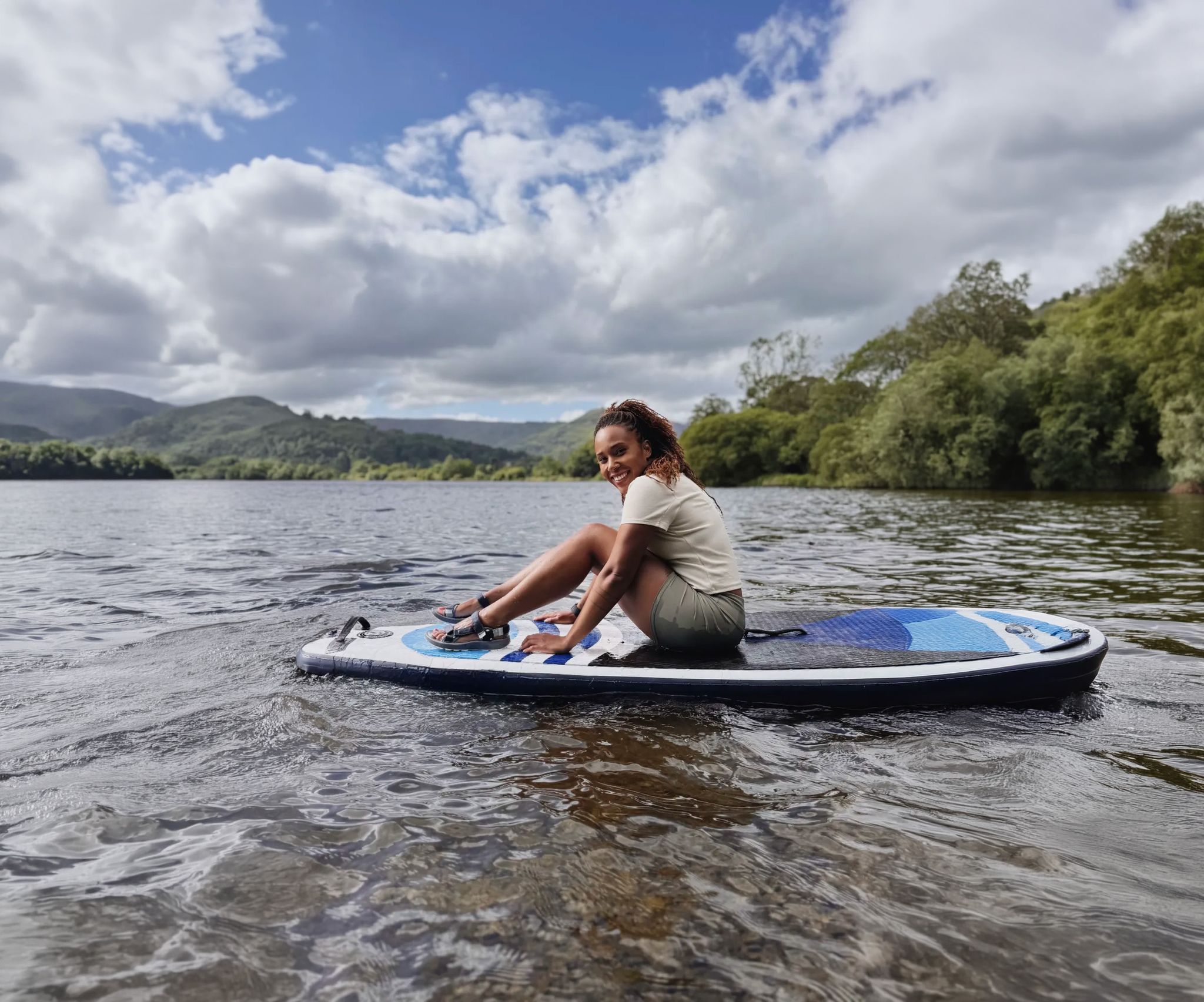
Scenic hikes to stand-up paddleboarding locations in the UK

Supporting the National Three Peaks FKT in true Green Runners’ Style
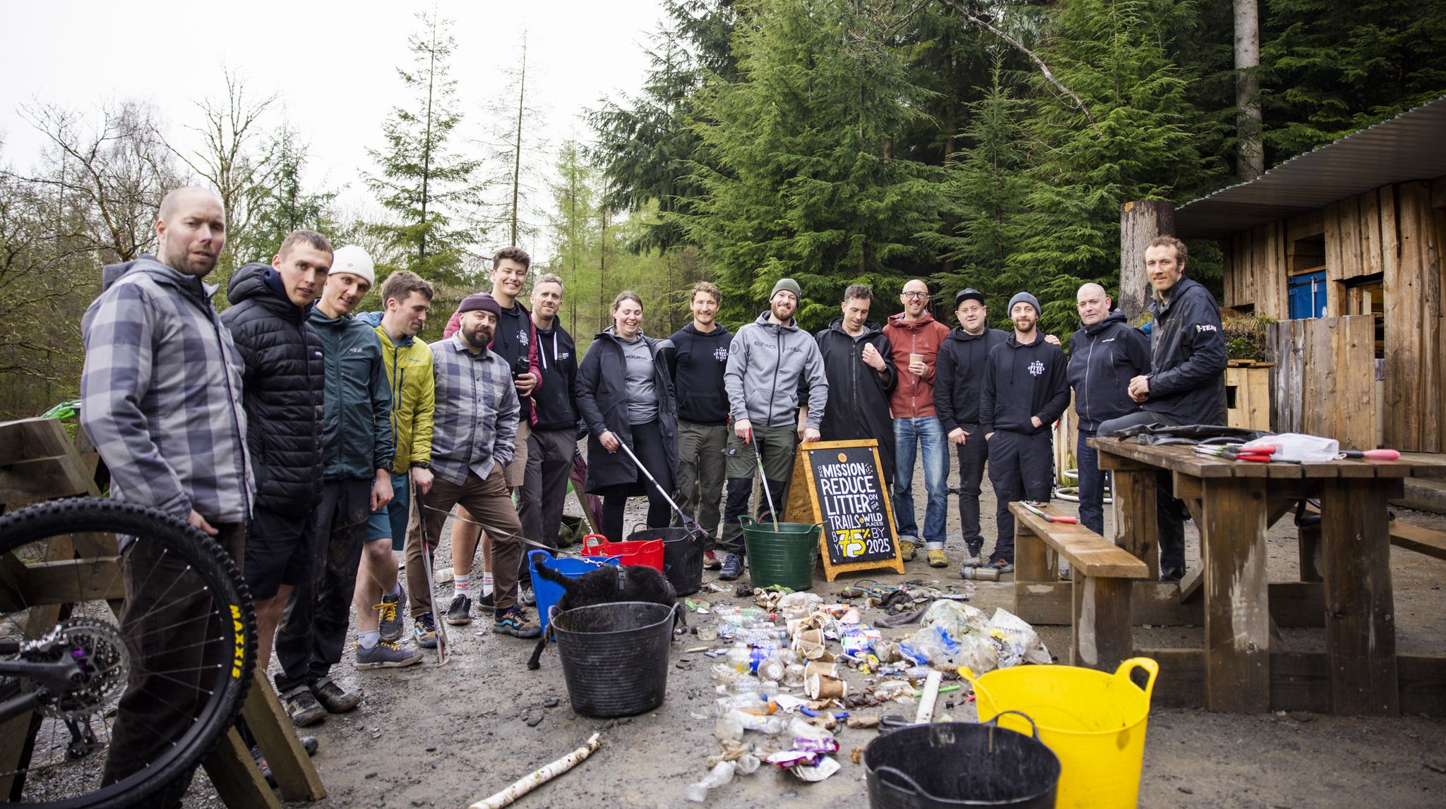
Adventures with a Purpose – our A-TEAMers’ best routes
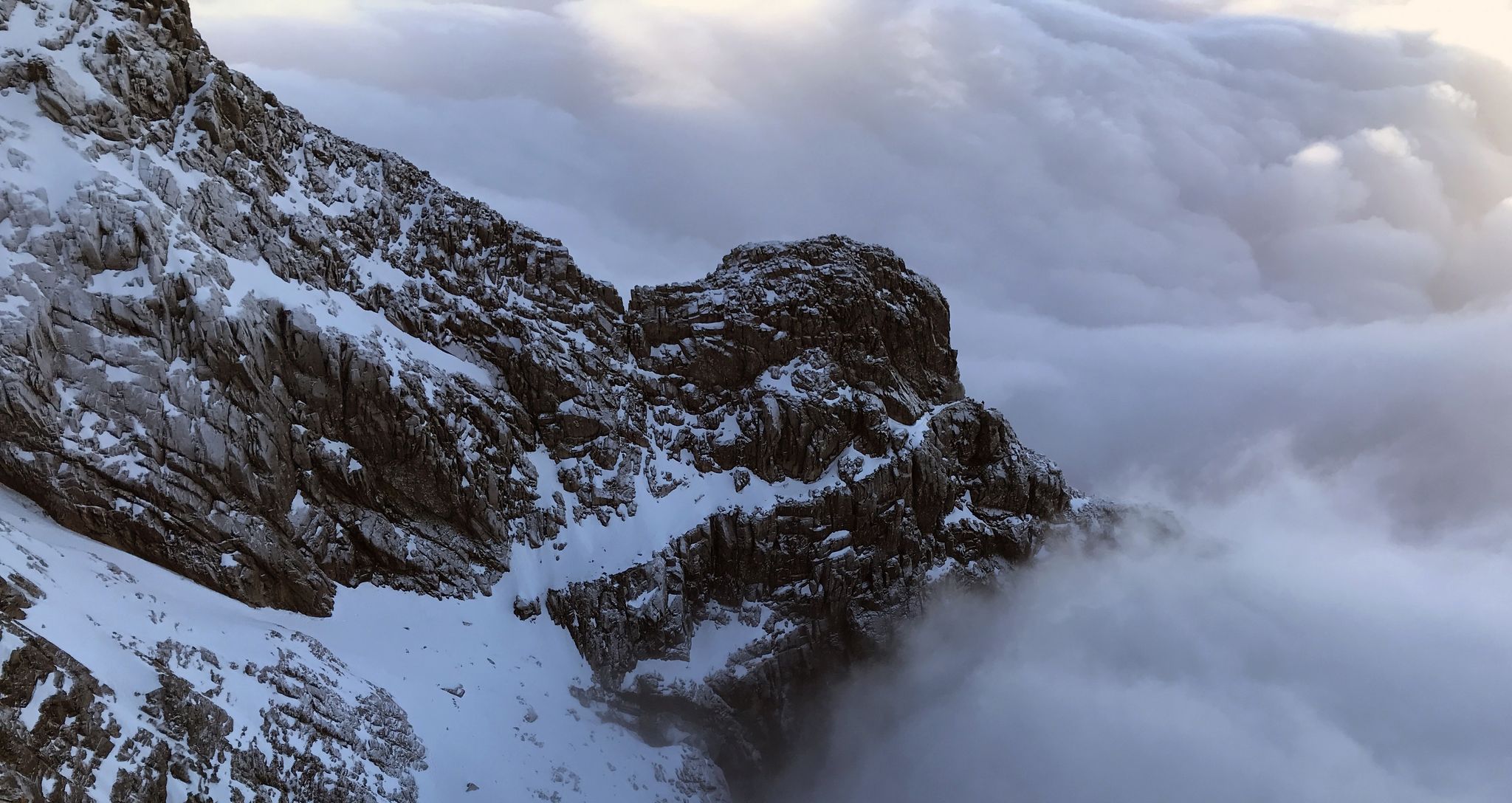
Ephemeral Lines – Stunning UK Winter Ridges
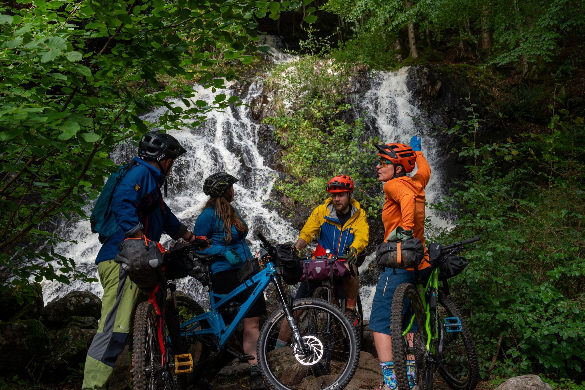
Purposeful Adventures from Comrie Croft
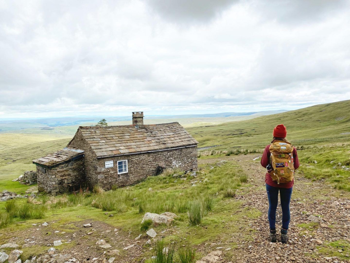
Bothies of Britain: hiking and biking adventures to unique mountain shelters
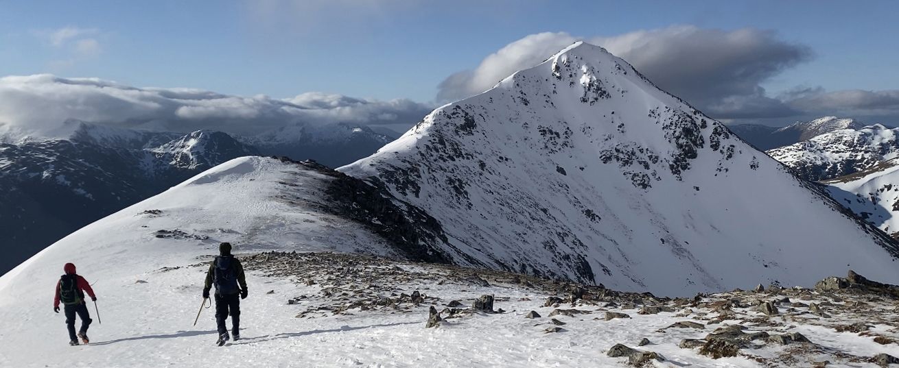
Scottish winter – five superb mountaineering routes in Lochaber
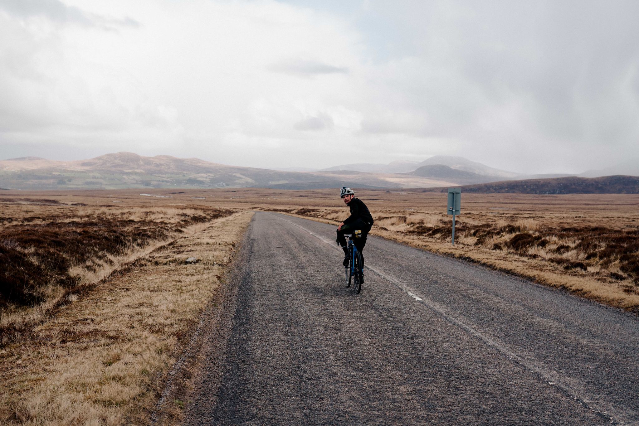
North Coast 500 – Escape to the Highlands
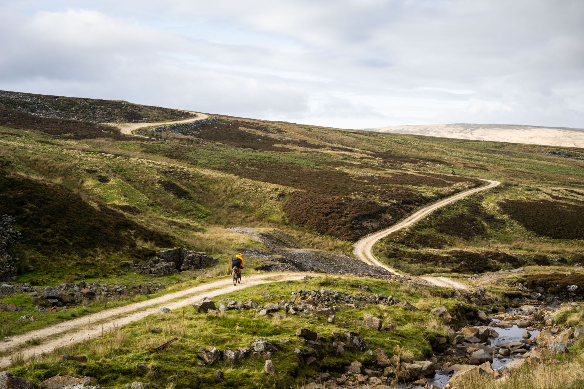
Second City Divide — Rough Stuff Of The North
Hebridean hopscotch — cycling along Scotland's magical west coast
Άλλες περιπέτειες στη Σκωτία


Συμβουλές από την κοινότητα

i would really reccomend this walk but car parking can be tedious
5
0

After the peaks it's all flat terrain and definitely more busy on a dry day. Walk the way back after the last peak if you prefer the challenge of it.
0
0

The Old Man of Storr is one of the most famous and visited sights. It is a 55 meter high peak of basalt rock, the remnant of a 2.8 billion year old volcanic plug. The walk to the summit is suitable for most weather conditions, although on a wet day the path can become muddy and there is always a danger of falling rocks along the path at higher levels. The walk is approximately 3.8 kilometers long and takes an average of 1 hour and 15 minutes. It is advisable to bring suitable clothing for changes in the weather and wear sturdy footwear for the walk. Despite the site's popularity, it is still possible to enjoy the peace and quiet, especially if you visit early in the morning or late in the afternoon.
5
1
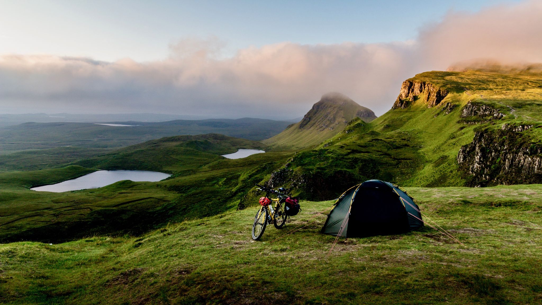
The Quiraing is a remarkable geological formation located. It is part of a mountain range and is located in the northernmost part of the Trotternish Peninsula. The Quiraing is unique in that it is still moving, meaning the road needs to be repaired every year. The area is known for its curious rock peaks formed by a series of landslides. A walk through the Quiraing is not just a hike. It is a tough 7 kilometers that alternate with up and down narrow paths with sometimes deep abysses. It is therefore not recommended to go hiking there if it rains (a lot) or there is a lot of fog. But in clear weather you can see bizarrely far. It is one of the most popular walks on the island.
2
0

Quote: It is not clear where the name "Arthur's Seat" comes from. Some see it as a reference to the legendary King Arthur. In 1912, John Milne published a book on Gaelic place names in which he derived the name from "Suidhe Ard-Thir", which in English means something like "place on high ground". However, the word order here would be odd. The historian William Maitland put forward a different theory in the 18th century. According to him, the name would be "Àrd-na-Said", "height of arrows", a variant that was later changed to "Archer's Seat" and later "Arthur's Seat". (Text source: https://www.myhighlands.de/arthurs-seat-edinburgh/ )
6
0

The Quiraing is an astonishing landslip caused by underlying sedimentary rock giving way to heavier basalt deposited as a result of ancient volcanic activity. It's an iconic and unique place to explore, one of Britain's most beguiling natural wonders. There are many incredible rock formations among the massive cliffs of Meall na Suiramach, though special mention has to go to the hugely impressive Prison, the 120-foot (37 m) pinnacle of the Needle and the green plateau of the Table.
6
1

As one of the UK's most famous and accessible Munros, it attracts countless walkers and nature lovers every year. Thanks to the high parking lot and funicular, the summit is an attainable yet challenging destination for many. Taking the funicular up to Ptarmigan Restaurant, the highest restaurant in Britain, makes the climb much easier and offers a unique way to enjoy the stunning scenery without having to walk the entire way. For the more adventurous, Fiacaill Ridge, a Grade II scramble, offers an exciting alternative to the traditional trail. The summit itself presents a panorama that is second to none. From up here you have a wonderful view over the national park, revealing the vastness and beauty of the Scottish Highlands in all their glory. The view extends over endless ranges of hills, deep valleys and the characteristic waters dotted with islands. However, the weather in the Cairngorms can be unpredictable. Warm clothing, even in summer, is a must as it can get very cold at altitude. Wind and fog can suddenly appear, which is why good preparation and carrying navigation aids such as a map and compass are essential. GPS devices provide additional security, but should not be used as the sole guide. Hikers should respect local Cairngorms National Park regulations and act environmentally consciously to preserve this unique place for future generations. Understanding and respecting nature are essential aspects when exploring this extraordinary mountain.
2
0
Οι πιο δημοφιλείς διαδρομές στη Σκωτία
Τα πιο δημοφιλή αξιοθέατα στη Σκωτία

Εμπνεύσου με την εφαρμογή komoot για κινητά


Δεν βρήκες αυτό που ψάχνεις;
Βρες ακόμα πιο εντυπωσιακά φυσικά μνημεία στη Σκωτία ελέγχοντας τους κορυφαίους Highlights περιοχή‑προς‑περιοχή:
Ανακάλυψε περισσότερα
Επέκτεινε την αναζήτησή σου για τις καλύτερες σπηλιές βλέποντας αυτούς τους οδηγούς με τα κορυφαία στη Σκωτία:
