Οι 20 καλύτερες λίμνες Βρετανική Κολομβία
Ψάχνετε τις καλύτερες λίμνες Βρετανική Κολομβία; Εξάλλου, δεν υπάρχει τίποτα καλύτερο από τη γαλήνη στην όχθη μιας λίμνης — ή μια γρήγορη βουτιά όταν ο καιρός είναι ζεστός. Περιηγηθείτε στη λίστα μας με τις καλύτερες λίμνες της περιοχής Βρετανική Κολομβία, όπως τις προτείνει η κοινότητα komoot, και ζήστε περισσότερα στην επόμενη περιπέτειά σας!
Τελευταία ενημέρωση: 25 Αυγούστου 2026
Totem Poles in Stanley Park
Highlight • Μνημείο
Μετάφραση από Google •
Συμβουλή από

Lost Lake
Highlight • Λίμνη
Εμφάνιση μετάφρασης
Συμβουλή από

Εγγράψου τώρα για να ανακαλύψεις μέρη σαν αυτό
Λάβε προτάσεις για τα καλύτερα single tracks, κορυφές και πολλά ακόμα συναρπαστικά υπαίθρια μέρη.
Εγγραφή δωρεάν
Emerald Lake
Highlight • Λίμνη
Μετάφραση από Google •
Συμβουλή από

Kinney Lake
Highlight • Λίμνη
Μετάφραση από Google •
Συμβουλή από

Garibaldi Lake
Highlight • Λίμνη
Μετάφραση από Google •
Συμβουλή από

Berg Lake Trail
Highlight • Μονοπάτι
Μετάφραση από Google •
Συμβουλή από

Lower Joffre Lake
Highlight • Λίμνη
The lake receives water from nearby glaciers, mainly …
Μετάφραση από Google •
Συμβουλή από

Joffre Lakes Trail
Highlight • Μονοπάτι
Συμβουλή από
Upper Joffre Lake
Highlight • Λίμνη
Συμβουλή από

Lost Lagoon
Highlight • Λίμνη
Μετάφραση από Google •
Συμβουλή από
Εγγράψου δωρεάν για να ανακαλύψεις ακόμα περισσότερες λίμνες στη Βρετανική Κολομβία.
Εγγραφή δωρεάν
Έχεις ήδη λογαριασμό;
Ξεκίνα σήμερα με έναν δωρεάν λογαριασμό
Η επόμενη περιπέτειά σου σε περιμένει.
Σύνδεση ή εγγραφή
Δημοφιλή γύρω από Βρετανική Κολομβία
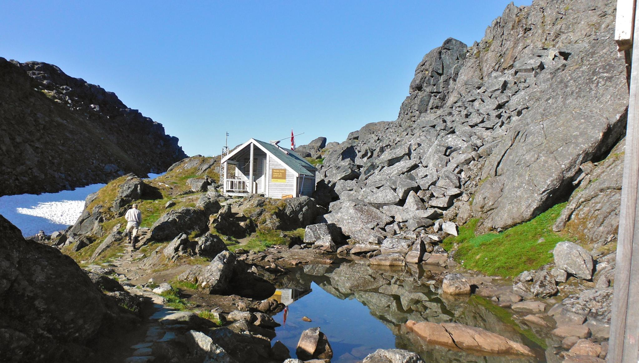
The Chilkoot Trail — Gold Rush history among soaring mountains

Great Divide Mountain Bike Route — Cycling the spine of a continent
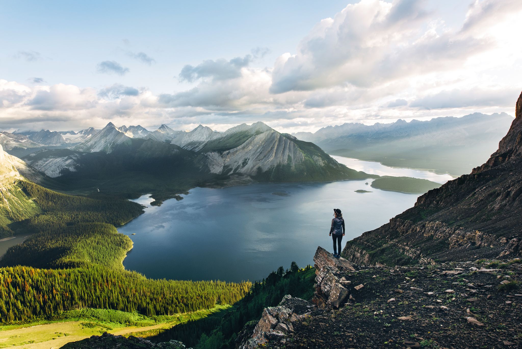
Long-distance hiking in Canada – between mountains and coast

Cross Canada Ride — heading east for 6,800km

Pacific Crest Trail from Mexico to Canada – 4,200 kilometres of wilderness

BC Epic 1000

Around the World in 80 Days
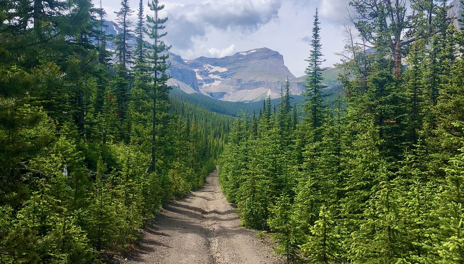
Run the Rockies – mountain range fastpack #5

Vancouver roundtrip — Bikepacking British Columbia
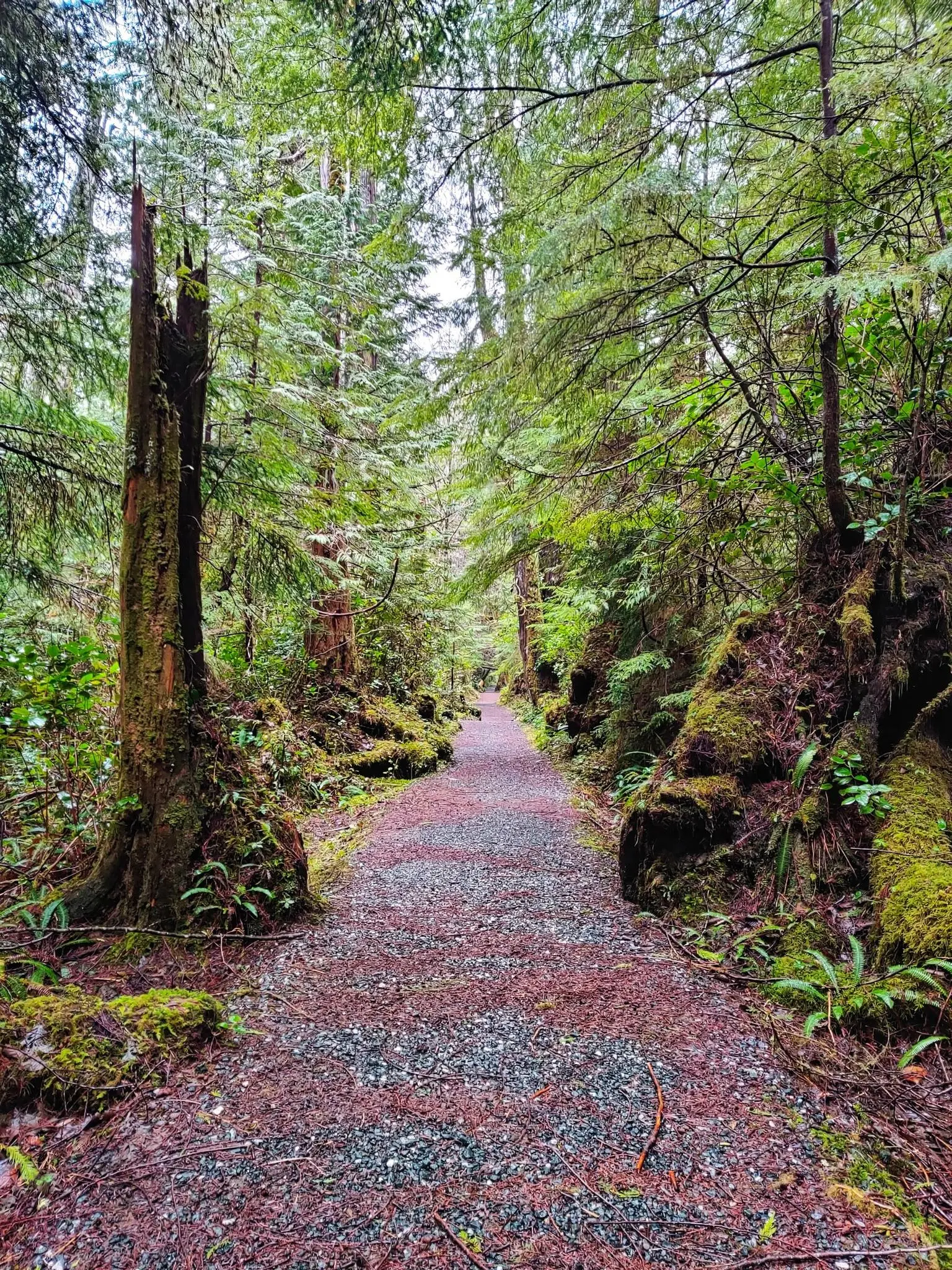
North Coast Trail — Η πιο άγρια περιπέτεια του νησιού Vancouver
Άλλες περιπέτειες στη Βρετανική Κολομβία


Συμβουλές από την κοινότητα

γαλάζιο και πολύ ήρεμο νερό που αντανακλά τέλεια την κορυφή του όρους Robson στο βάθος
0
0

Είναι μια πανέμορφα τοποθετημένη λίμνη στο Εθνικό Πάρκο Yoho. Η αριστερή πλευρά της λίμνης είναι καλή για πεζοπορία. Η δεξιά πλευρά είναι λίγο πιο δύσκολη με πολλά λασπώδη σημεία, ενώ αυτή τη στιγμή κατασκευάζονται πεζογέφυρες για να βελτιωθεί η κατάσταση. Αυτή τη στιγμή συνιστάται ιδιαίτερα σταθερό υπόδημα. Μια βαρκάδα ολοκληρώνει την πεζοπορία με τις υπέροχες ορεινές θέες. Συνιστάται ανεπιφύλακτα.
0
0

A very beautiful mountain lake and a great ensemble with the mountains.
1
0

Κρυμμένο στο δάσος, ακριβώς έξω από το Whistler Village, το Lost Lake είναι ένα όμορφο, ήσυχο μέρος που περιβάλλεται από ψηλά αειθαλή δέντρα και θέα στο βουνό. Είναι ένα δημοφιλές μέρος για κολύμπι και paddleboarding το καλοκαίρι, με μονοπάτια γύρω από την περίμετρό του ιδανικά για πεζοπορία και ποδηλασία. Το χειμώνα, η περιοχή μεταμορφώνεται σε ένα χιονισμένο δίκτυο μονοπατιών για cross-country σκι και πεζοπορία με χιονοπέδιλα, προσφέροντας μια ήσυχη απόδραση λίγα λεπτά από την πόλη.
1
0

In Vancouver's beautiful Stanley Park, you can admire several totem poles for free. Each one has an explanation, and the path to the pole is signposted.
1
0

Access to the Joffre Lakes Trail is located at the top of a pass. Joffre Creek drains west into the Lillooet River, while Cayoosh Creek flows east and empties into Duffey Lake, which drains into the Fraser River. During the summer months, you must register for the Joffre Lakes Trail free of charge – for information, see the following website: https://bcparks.ca/reservations/day-use-passes/#joffre-lakes Registration is required to ensure a manageable number of hikers in the park – a maximum of 500 people per day. The trail leads to the park's three lakes: Lower Lake, Middle Lake, and Upper Lake. The Lower Joffre Lake is just a few hundred meters from the parking lot. Joffre Lakes Park is known for its turquoise lakes and panoramic views of snow-capped peaks; the base of the Matier Glacier is visible. Below the Upper Joffre Lake, Holloway Falls plunge into the depths. The trail ends at Upper Joffre Lake, but it is possible to continue along the western shore to the Joffre Lakes Backcountry Campground and further to the southern end of the lake, where rushing streams carry the waters of the Matier Glacier. (Visit May 28, 2025)
2
0
Upper Joffre Lake lies at an elevation of 1,570 m and is easily accessible along a shady forest trail. Below the lake, the ascent takes you past the rushing Holloway Falls. There is an elevation difference of approximately 60 meters between Middle and Upper Joffre Lake. The lakeshore offers a stunning panorama, including Joffre Peak and Slalok Mountain, as well as the glacial base of Mount Matier; the mountain peak itself is not visible from here. (Visit May 28, 2025)
2
0
Lost Lake was formed when glaciers retreated from the valley, leaving behind a buried block of ice. After the ice melted, a circular depression was created that filled with water, forming a so-called kettle lake. https://fireandicegeoregion.ca/geosite/lost-lake/ https://www.legendswhistler.com/whistler/news/2019/4/11/lost-lake-whistler/
2
0
Οι πιο δημοφιλείς διαδρομές στη Βρετανική Κολομβία
Τα πιο δημοφιλή αξιοθέατα στη Βρετανική Κολομβία

Εμπνεύσου με την εφαρμογή komoot για κινητά


Δεν βρήκες αυτό που ψάχνεις;
Βρες τις καλύτερες λίμνες στη Βρετανική Κολομβία ανά περιοχή:
Ανακάλυψε περισσότερα
Δεν βρήκες ακόμη την τέλεια λίμνη στη Βρετανική Κολομβία; Δες τους οδηγούς αυτών των περιοχών για ακόμα πιο όμορφα μέρη.
