Αξιοθέατα και μέρη για επίσκεψη Άιοβα - Top 20
Υπάρχουν πολλά μέρη να δείτε και να επισκεφθείτε Άιοβα. Είτε αγαπάτε την πεζοπορία είτε την ποδηλασία, Άιοβα είναι μια περιοχή όπου 20
κρυμμένα στολίδια περιμένουν να ανακαλυφθούν. Δείτε τα καλύτερα αξιοθέατα της περιοχής και σχεδιάστε την επόμενη περιπέτειά σας σήμερα.
Τελευταία ενημέρωση: 17 Οκτωβρίου 2026
Iowa Women of Achievement Bridge
Highlight (Segment) • Γέφυρα
Συμβουλή από

Bob Kerrey Pedestrian Bridge
Highlight • Γέφυρα
Μετάφραση από Google •
Συμβουλή από

Εγγράψου τώρα για να ανακαλύψεις μέρη σαν αυτό
Λάβε προτάσεις για τα καλύτερα single tracks, κορυφές και πολλά ακόμα συναρπαστικά υπαίθρια μέρη.
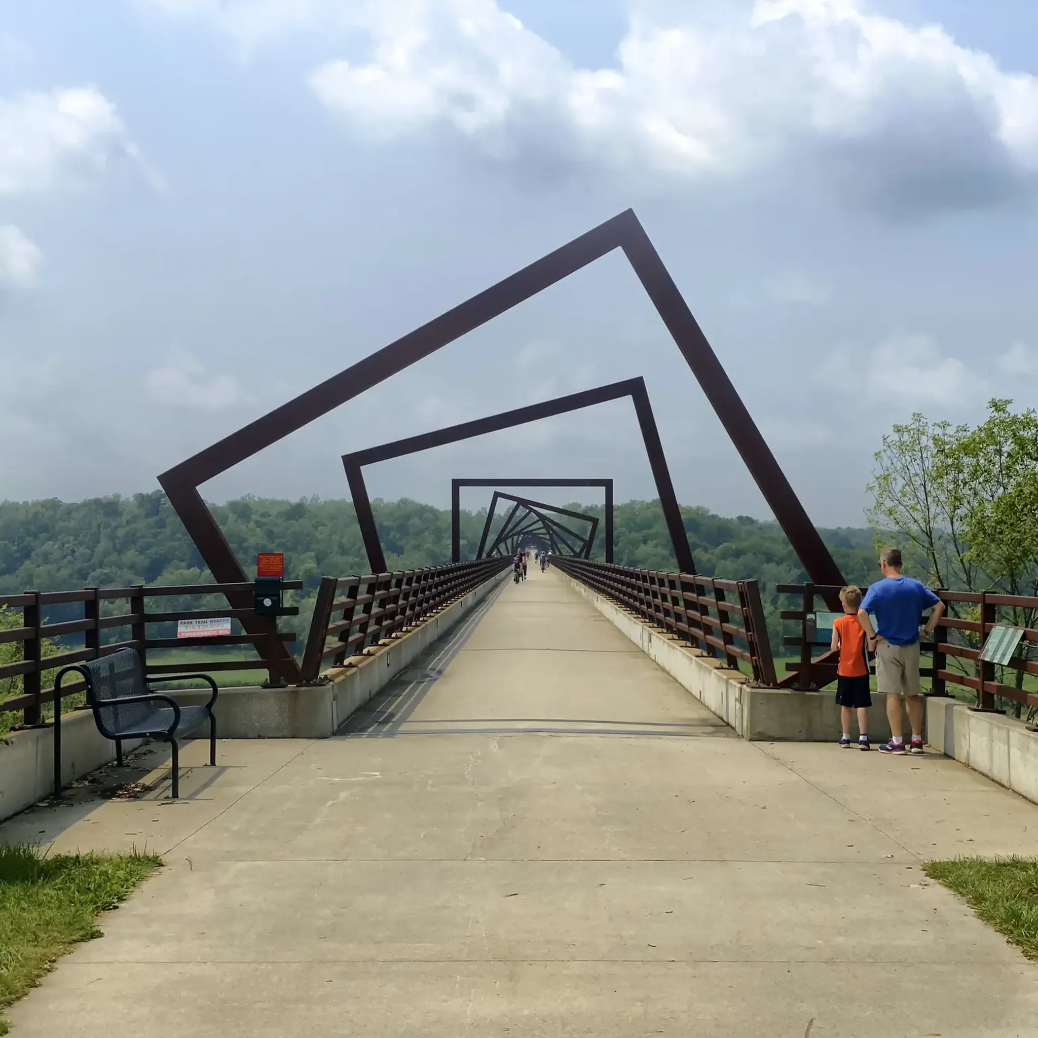
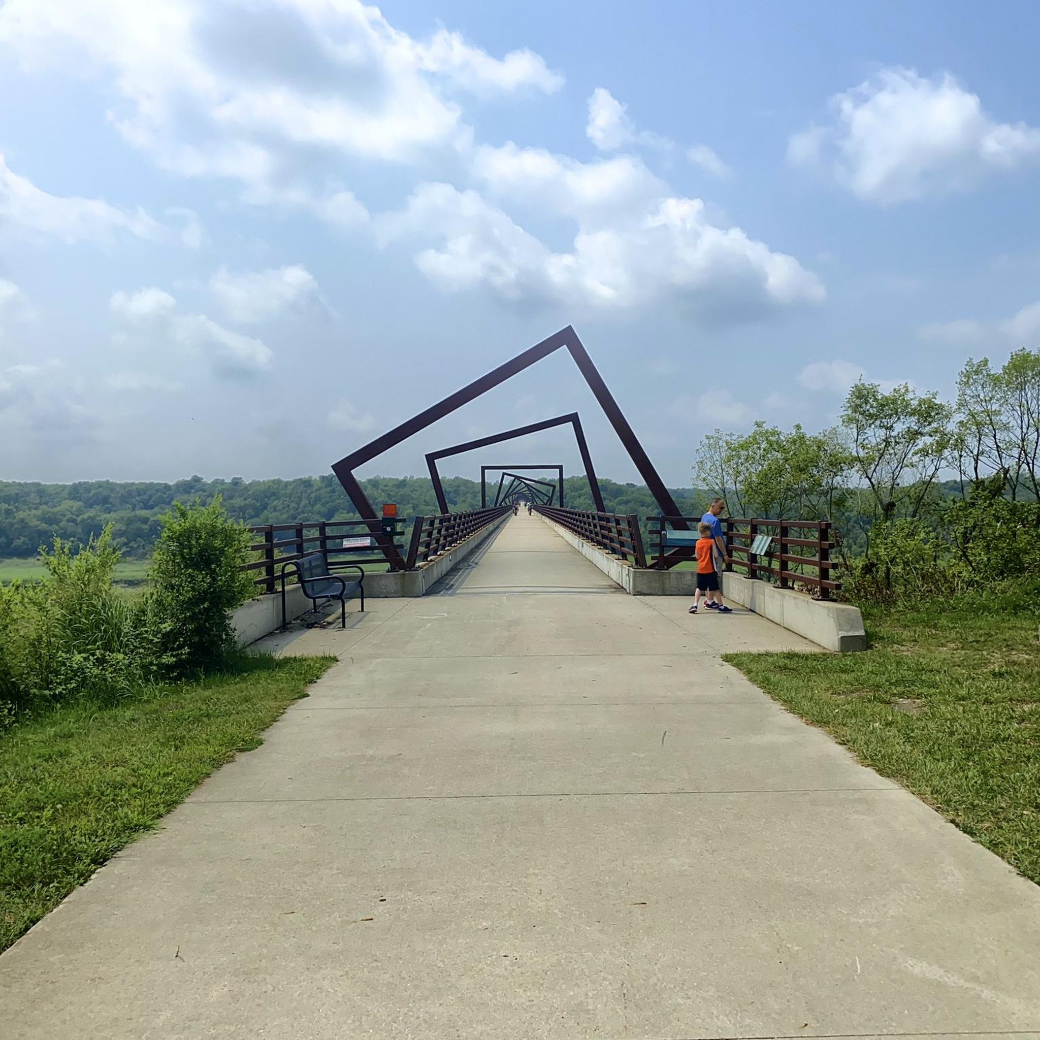
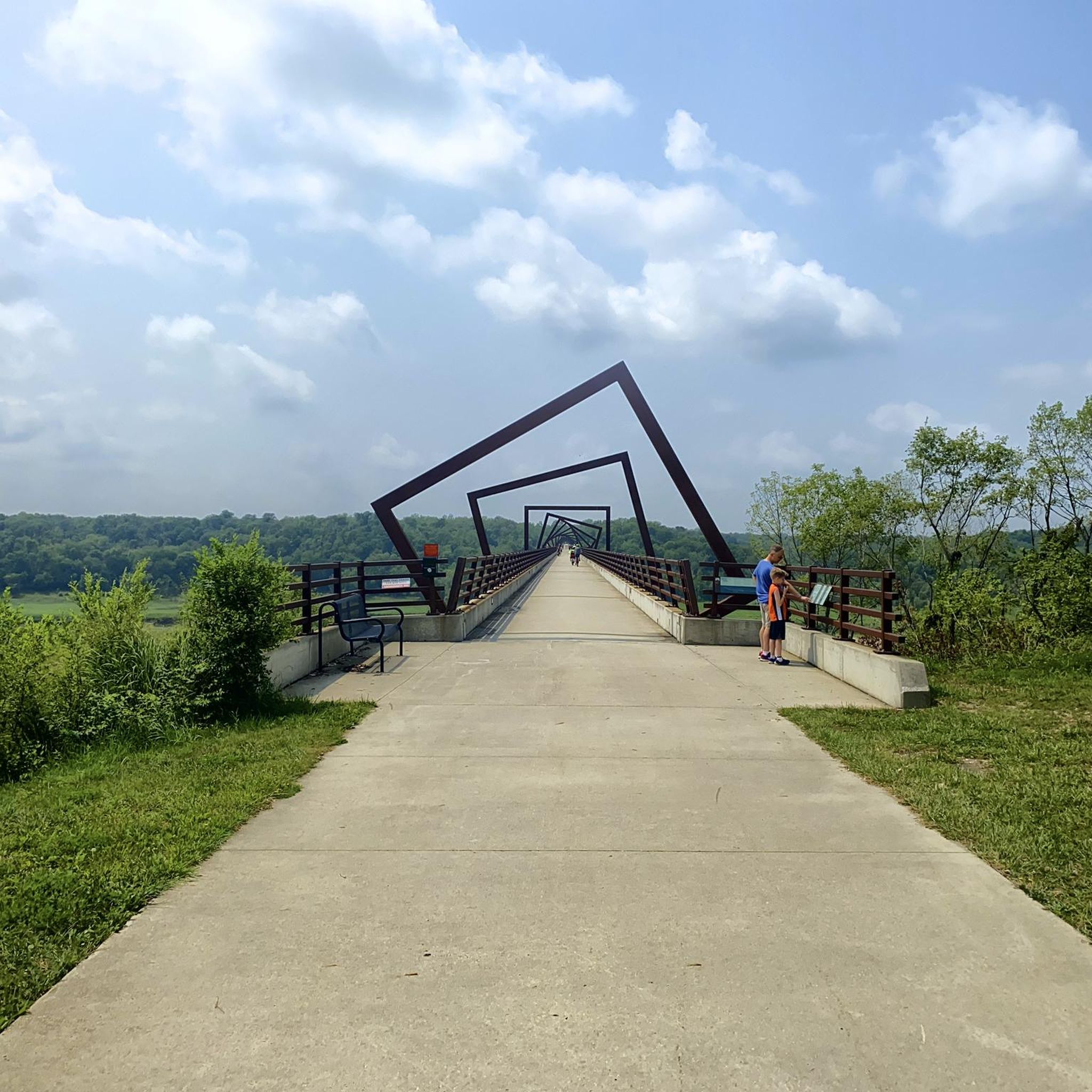
High Trestle Trail Bridge
Highlight (Segment) • Γέφυρα
Συμβουλή από
Clear Creek Trail
Highlight (Segment) • Μονοπάτι
Συμβουλή από

Neal Smith Trail
Highlight (Segment) • Μονοπάτι
Συμβουλή από

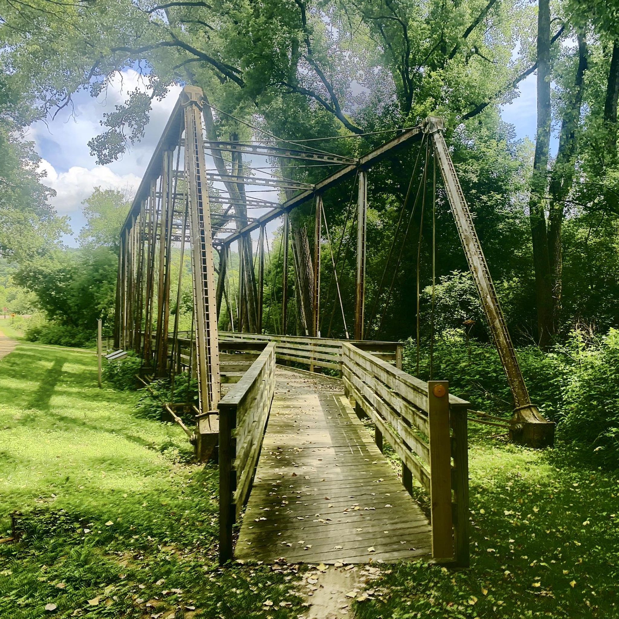
Heritage Trail Truss Bridge
Highlight • Γέφυρα
Συμβουλή από
Neal Smith Trail
Highlight (Segment) • Μονοπάτι
Συμβουλή από
Decorah Impact Crater Marker
Highlight • Μνημείο
Συμβουλή από
I-74 Pedestrian and Bicycle Bridge
Highlight • Γέφυρα
Συμβουλή από

Ten Mile Creek kingpost pony truss bridge
Highlight • Γέφυρα
Συμβουλή από
Εγγράψου δωρεάν για να ανακαλύψεις ακόμα περισσότερα αξιοθέατα στην Άιοβα.
Έχεις ήδη λογαριασμό;
Ξεκίνα σήμερα με έναν δωρεάν λογαριασμό
Η επόμενη περιπέτειά σου σε περιμένει.




Συμβουλές από την κοινότητα

The Ten Mile Creek Bridge, now located on the Trout Run Trail, originally spanned Ten Mile Creek about five miles northwest of Decorah. It was dismantled and relocated to Trout Run Trail in the spring of 2011. The R.D. Wheaton Bridge Company of Chicago built the bridge around 1895. It features a kingpost pony truss design, one of the simplest types of trusses, dating back to the Middle Ages. Many kingpost bridges were constructed on Iowa’s early roads in the late 19th and early 20th centuries, initially using a combination of timber and iron and later in all-metal configurations. The kingpost design is generally limited to relatively short spans. On a personal note, I have hiked and fly-fished at the original site of the Ten Mile Creek bridge. All that remains now are the concrete abutments of the bridge, and Happy Hollow Road (yes, that's really its name) now dead-ends on both sides of the creek.
3
0
About 465 to 470 million years ago, a meteorite struck near present-day Decorah, Iowa, creating a 3.5-mile (5.6 km) wide impact crater buried beneath the city's surface. Although this highlight is named “Decorah Impact Crater Marker”, at the time of my most recent hike to this highlight, on August 2, 2025, there was no marker or monument nearby. However, there is a large bronze medallion set in concrete marking the precise meteorite impact site located about 0.2 miles west-southwest of this highlight.. The marker can be found at GPS coordinates 43.31580, -91.77474. I have made this location a komoot highlight as well. The bottom of the impact crater now lies about 300 feet below the marker due to geological changes that have occurred over the millennia following the meteorite strike. The crater and its discovery are significant because it is one of fewer than 200 recognized impact structures on Earth. It has preserved a unique fossil record of ancient life, including the nearly 6-foot sea scorpion known as Pentecopterus decorahensis.
3
0

The Clear Creek Trail is a paved, multiuse path that travels along a wonderful shaded stretch along its namesake creek. It's a great ride at any time of year, but during the autumn color season it really hits its zenith.
0
0

Amenities & Points of Interest: fresh water spring, 8 acres tall prairie grass, trails for hiking, mountain biking, horseback riding, cross-country skiing, and snowshoeing (this is a natural wildlife area which is not developed for picnicking and camping) https://parks.decorahia.org/decorah-parks
1
0

This bridge parallels the course of I-74 across the Mississippi River, keeping cyclists and other pedestrians safely away from the fast-moving vehicles. The bridge connects to cycleways on either side of the river, and also has a viewing area with an oculus.
1
0

The Bob Kerrey Pedestrian Bridge is a 3,000-foot-long pedestrian bridge over the Missouri River between Council Bluffs, Iowa, and Omaha, Nebraska. It is a popular way for cyclist, runners and walkers to move between the two cities.
1
0

Borderline between Iowa and Nebraska, ideal for a nice photo if you stand in both states.
4
0

The trails within Barnhart-Van Peenen Park are singletrack and more technical than the other trail systems in town. There are definitely some wider and smoother beginner trails (such as the access road trails), but as you branch off onto tighter trails, be prepared for rockier and rootier hiking with more hills.
1
0
Οι πιο δημοφιλείς διαδρομές στην Άιοβα
Τα πιο δημοφιλή αξιοθέατα στην Άιοβα

Εμπνεύσου με την εφαρμογή komoot για κινητά


Δεν βρήκες αυτό που ψάχνεις;
Θες να εξερευνήσεις περισσότερα εκπληκτικά μέρη κοντά σου; Περιηγήσου τους οδηγούς:
Ανακάλυψε περισσότερα
Δεν βρήκες ακόμη το Highlight που ψάχνεις; Δες οδηγούς για τα κορυφαία αξιοθέατα σε άλλες περιοχές:
